Thüringer Bergland Loop
A road cycling route starting from Stadtilm
A scenic route through the Thuringian mountains
Map
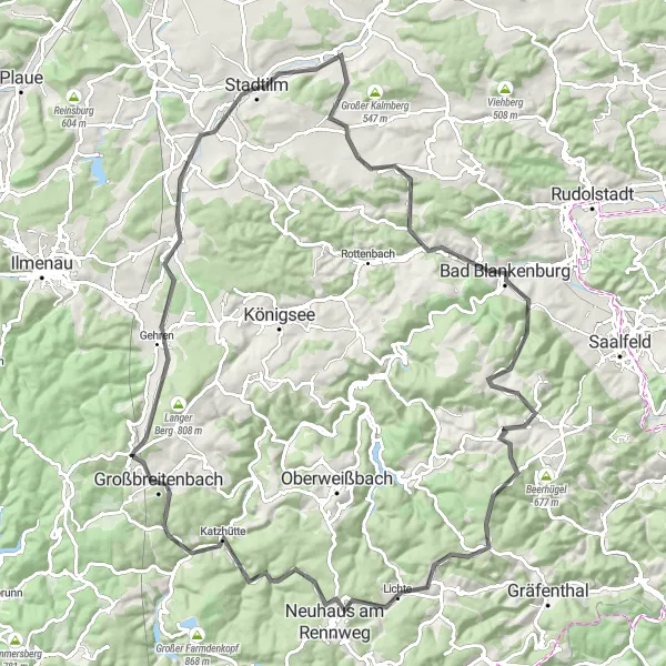
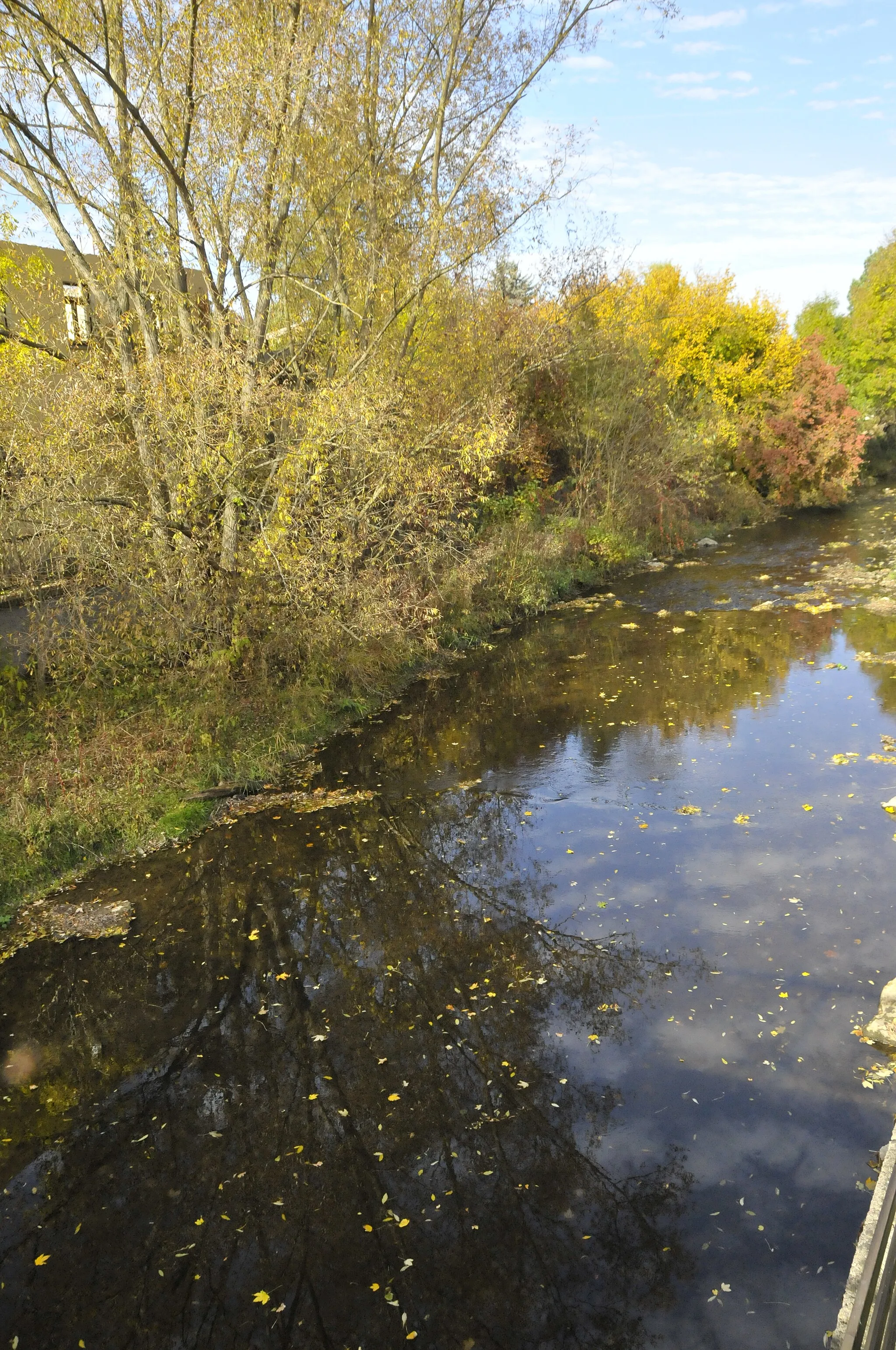
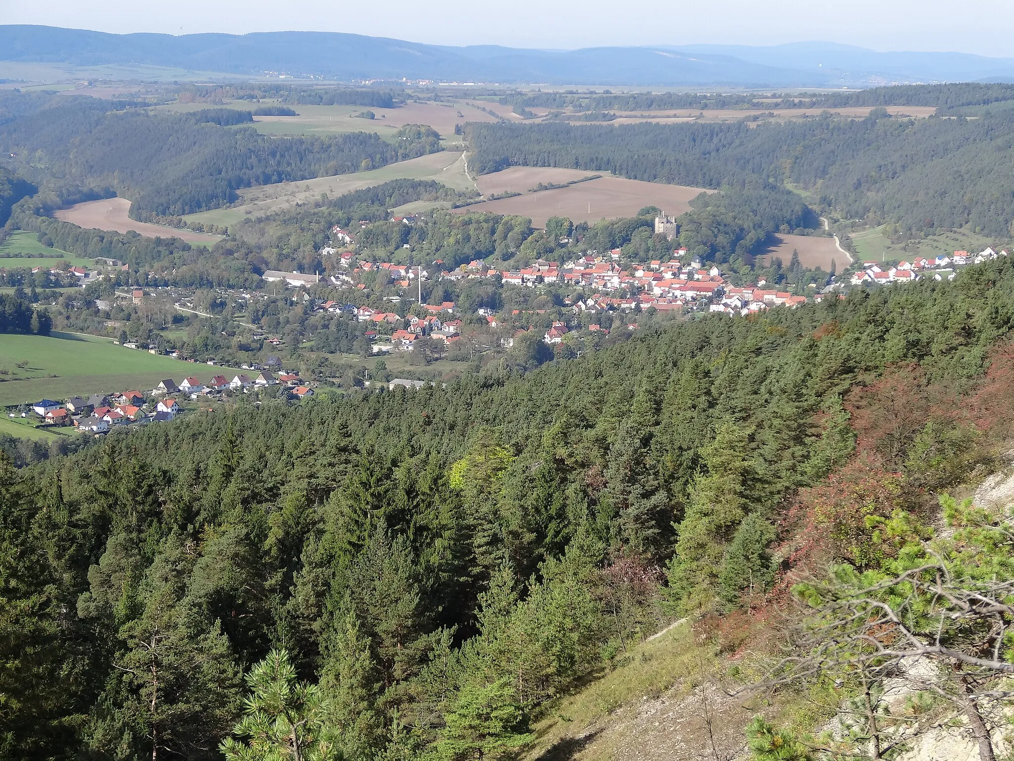
The Thüringer Bergland Loop is a challenging and scenic cycling route that takes riders through the beautiful Thuringian mountains. With a total length of 101 kilometers and an elevation gain of 1558 meters, this road route offers breathtaking views and plenty of opportunities to test your climbing skills. From the start near Stadtilm, cyclists will pass highlights including the quaint village of Döllstedt, the historic Burg Greifenstein castle, and the picturesque town of Eisenberg. The route also takes riders through the enchanting Lichte region, known for its stunning landscapes and charming villages. Overall, the Thüringer Bergland Loop provides experienced cyclists with a rewarding and unforgettable adventure.
road
101 km
1558 m
Tough
Route profile
Highlights on the route
0 km
0 km
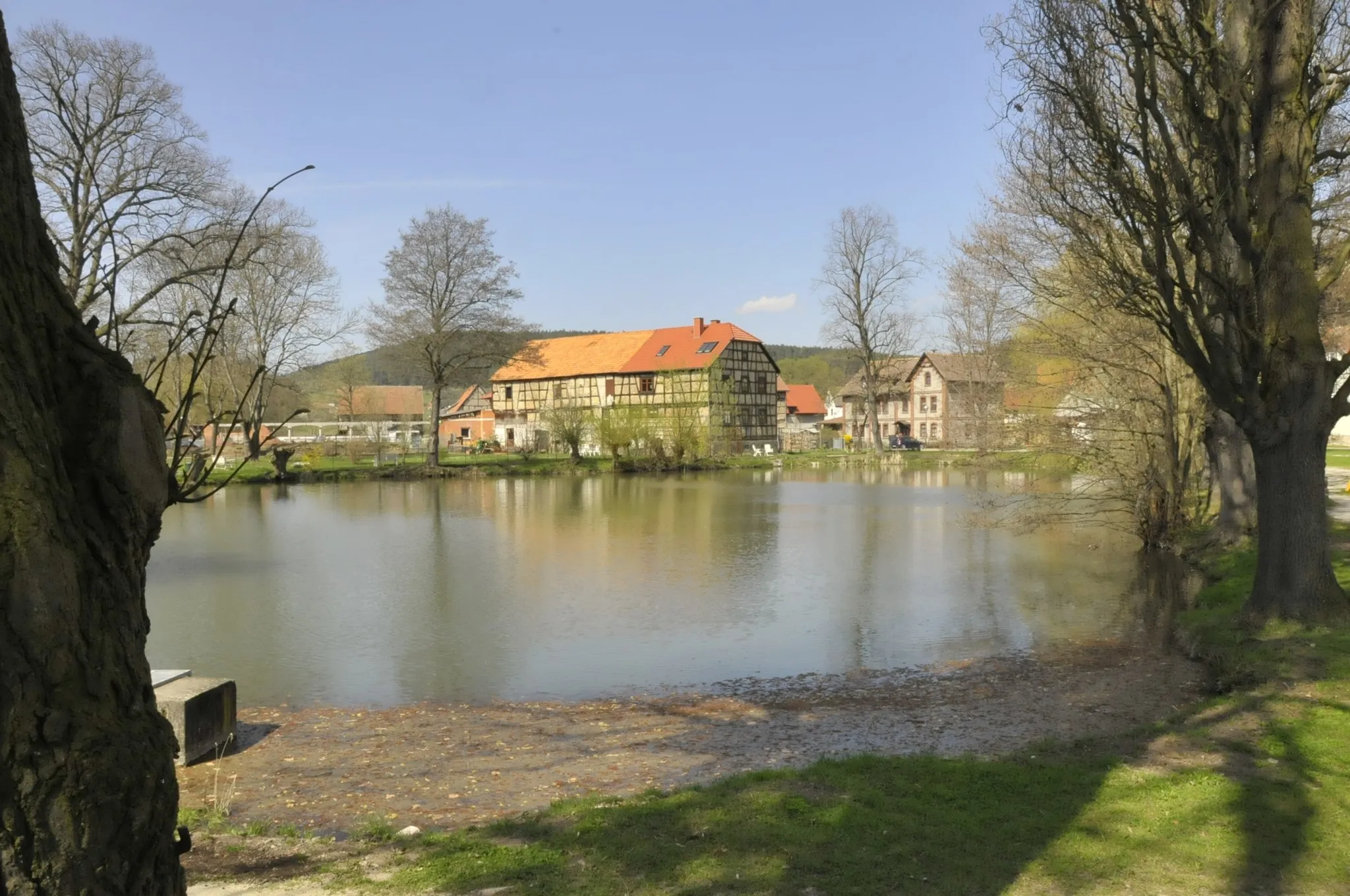
Start: Stadtilm City centerStadtilm: Explore scenic routes and rich history in Stadtilm.
Stadtilm, located in Thüringen, Germany, offers a mix of flat and hilly cycling routes. The town itself is filled with historical charm, making it a pleasant stop for cyclists looking to explore the area. Nearby, cyclists can also visit the famous motor racing circuit, the Schleizer Dreieck, known for its thrilling races and cycling events. With its scenic landscapes and cultural attractions, Stadtilm has plenty to offer both road cyclists and gravel bikers.1 km
1 km
Weinberg435 mPeakStop at the Weinberg wine estate to sample locally produced wines and enjoy panoramic views of the surrounding vineyards
8 km
8 km
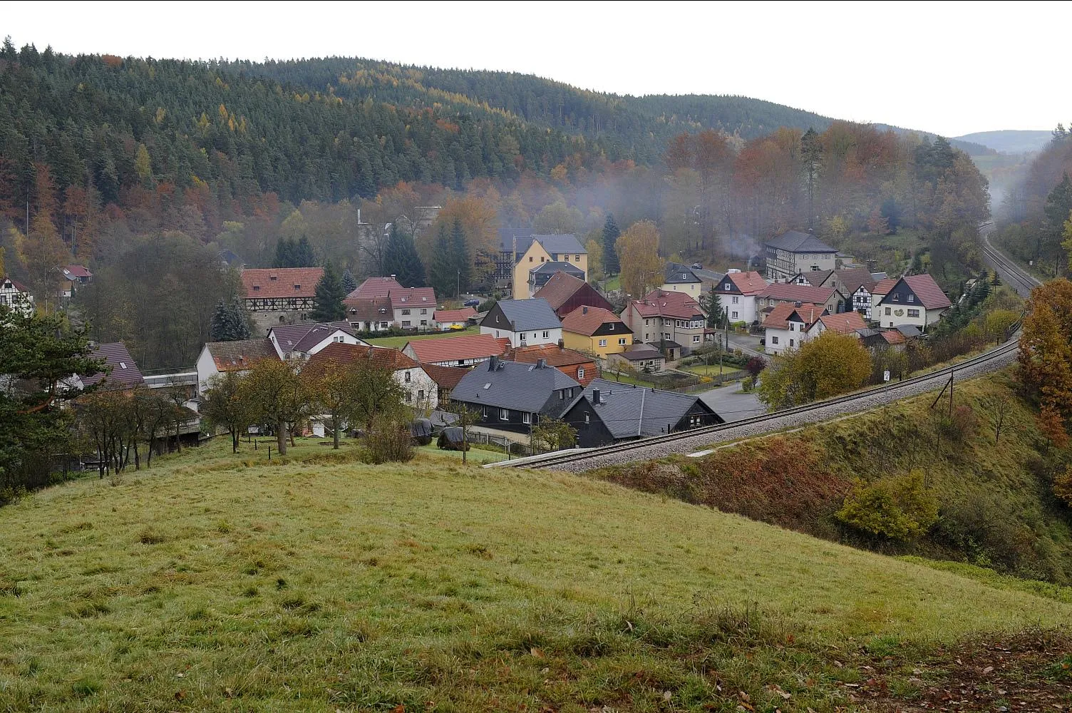
DöllstedtVillageDöllstedt is a small village with limited amenities, not worth stopping unless necessary
24 km
24 km
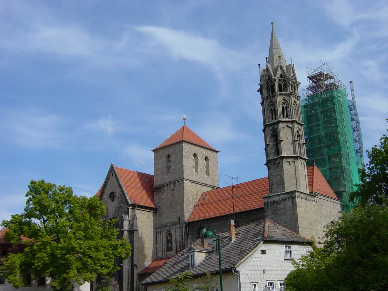
Burg GreifensteinCastleDiscover the impressive Burg Greifenstein, a medieval castle perched on a hilltop overlooking the Thuringian countryside
30 km
30 km
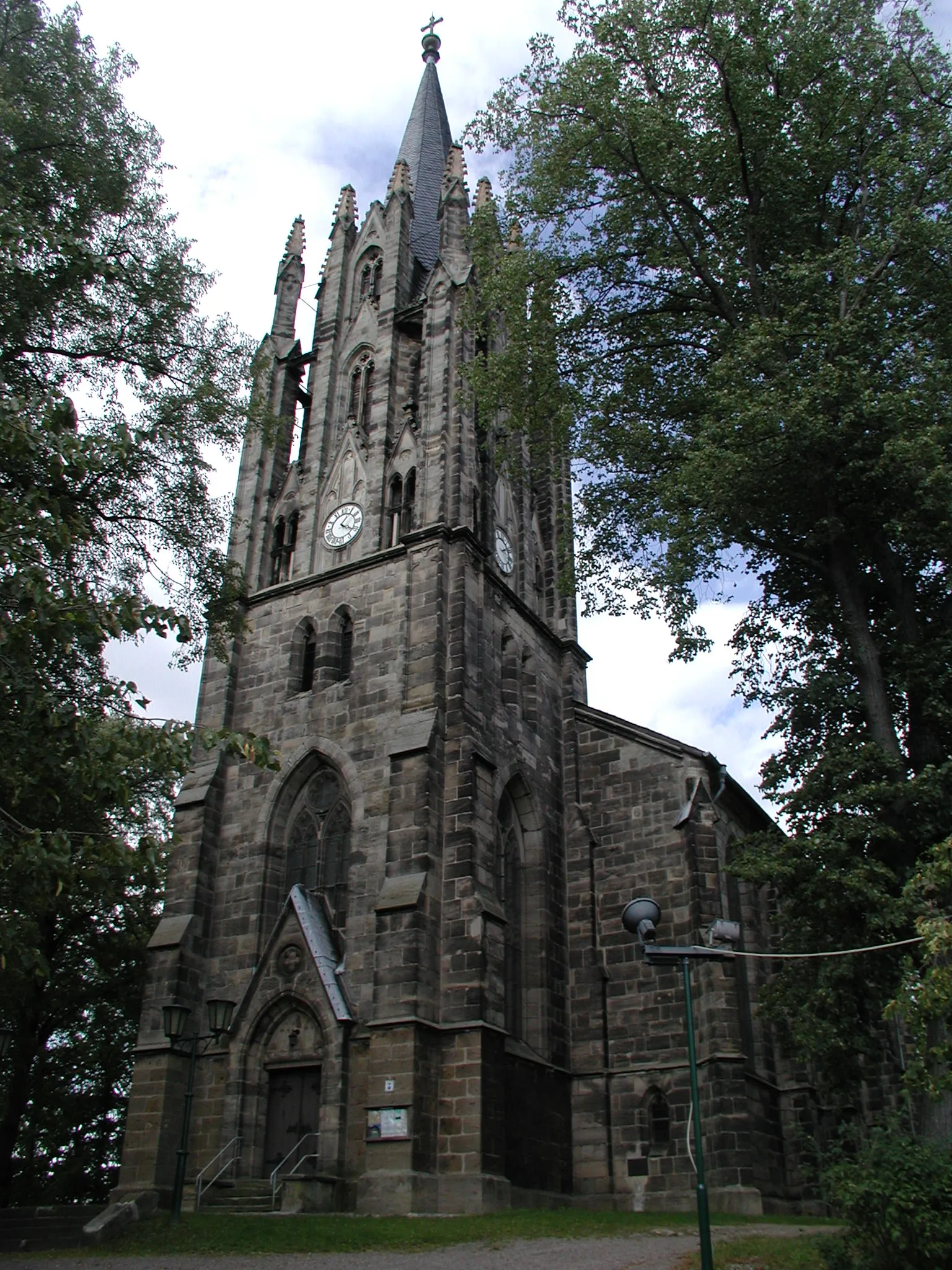
Eisenberg639 mPeakExplore Eisenberg, a charming town known for its well-preserved historic architecture and vibrant cultural scene
50 km
50 km
Rauhhügel802 mPeakRauhhügel is a residential area with no notable attractions for cyclists
53 km
53 km
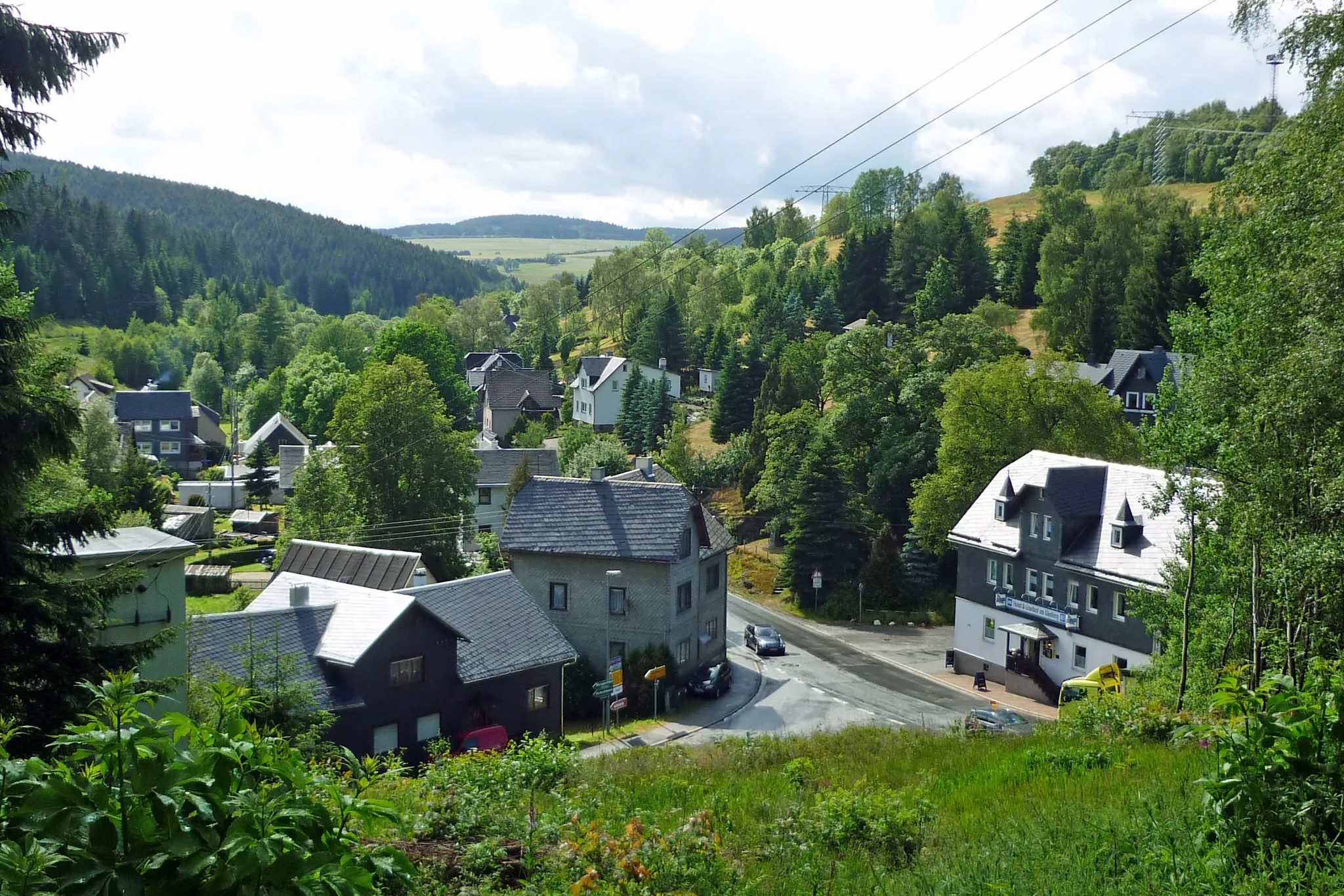
LichteVillagePass through the scenic village of Lichte, surrounded by picturesque forests and meadows
67 km
67 km
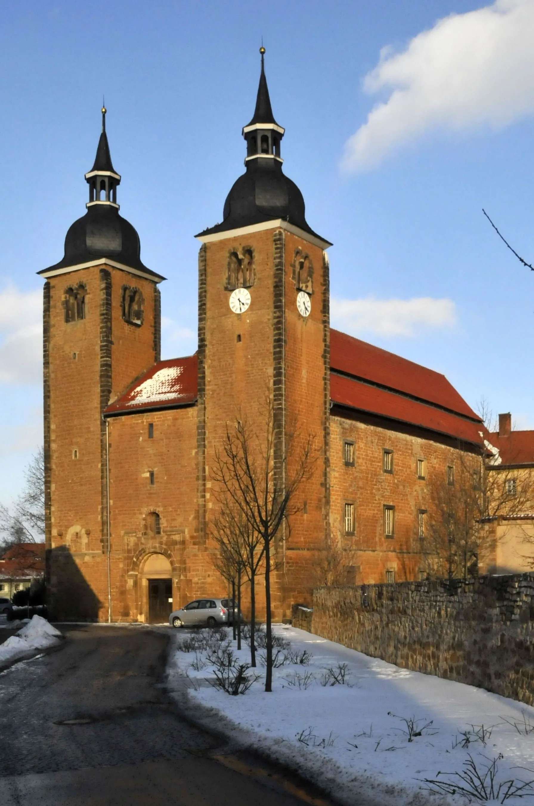
KatzhütteVillageCycle to Katzhütte, a charming village known for its traditional Thüringer cuisine and friendly locals
69 km
69 km
Kieslerstein656 mPeakThe Kieslerstein is a rock formation with limited points of interest for cyclists
81 km
81 km
MöhrenbachVillageMöhrenbach is a small village with limited amenities, not worth stopping unless necessary
81 km
81 km
Schieferrand744 mShelterSchieferrand is a residential area with no notable attractions for cyclists
95 km
95 km
CottendorfVillageCottendorf is a rural village with limited points of interest, not worth stopping unless necessary
101 km
101 km
Buchberg458 mPeakDiscover the Buchberg, a hill with stunning views over the Thuringian countryside
101 km
101 km
Finish: Stadtilm City centerStadtilm: Explore scenic routes and rich history in Stadtilm.
Cycling routes from Stadtilm:
Thüringer Bergland Loop The Medieval Trail Weinberg and Telegraph Scenic Road Ride Gravel Adventure - Steep Hills and Hidden Tracks Weinberg and Tannroda Road Cycling Adventure Adventurous Road Loop through Bad Blankenburg Sperlingsberg and Riechheimer Berg Gravel Ride Peak Challenge Off-road Scenic Adventure Exploring Paulinzella Ruins and Herschdorf by Road Tour through the Thuringian Forest Weinberg Roundtrip Elleben Roundtrip
Cycling routes nearby: