The Mountain Challenge
A gravel cycling route starting from Veilsdorf
Experience a thrilling mountain ride with breathtaking views
Map
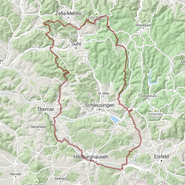
This challenging route takes you through picturesque landscapes with continuous climbs and descents. It offers an adrenaline rush for experienced riders looking for a mountain challenge. With a distance of 102 km and an elevation gain of 1803 m, this gravel route promises stunning views of landmarks like Birkenfeld, Bismarckturm Hildburghausen, and the Schmücke mountaintop.
gravel
102 km
1803 m
Tough
Route profile
Highlights on the route
0 km
0 km
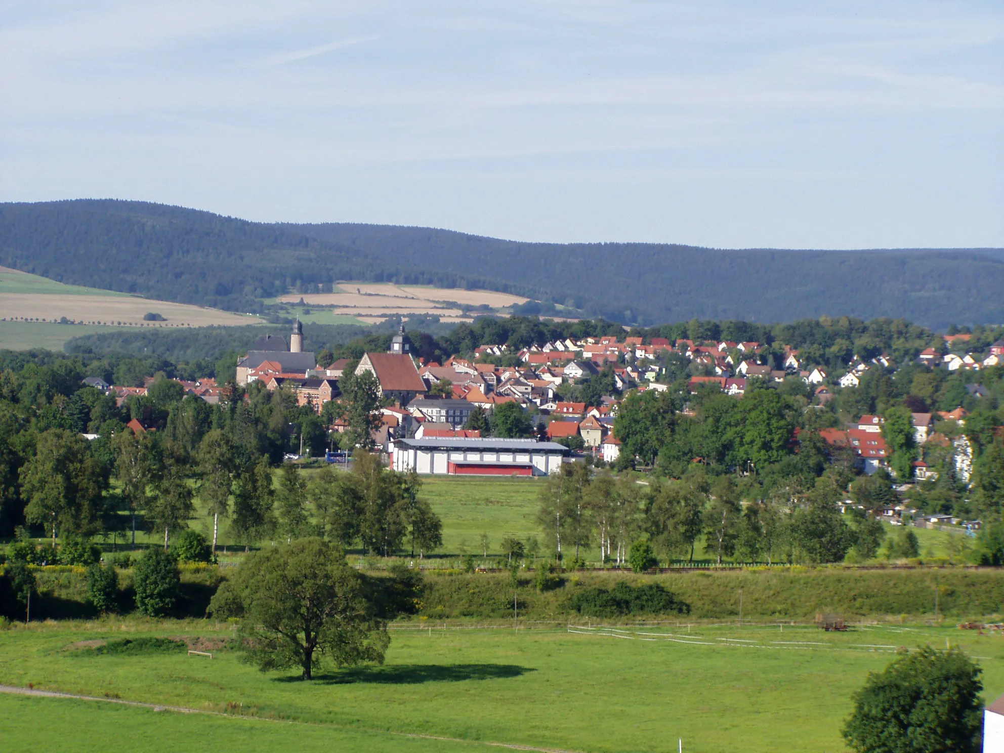
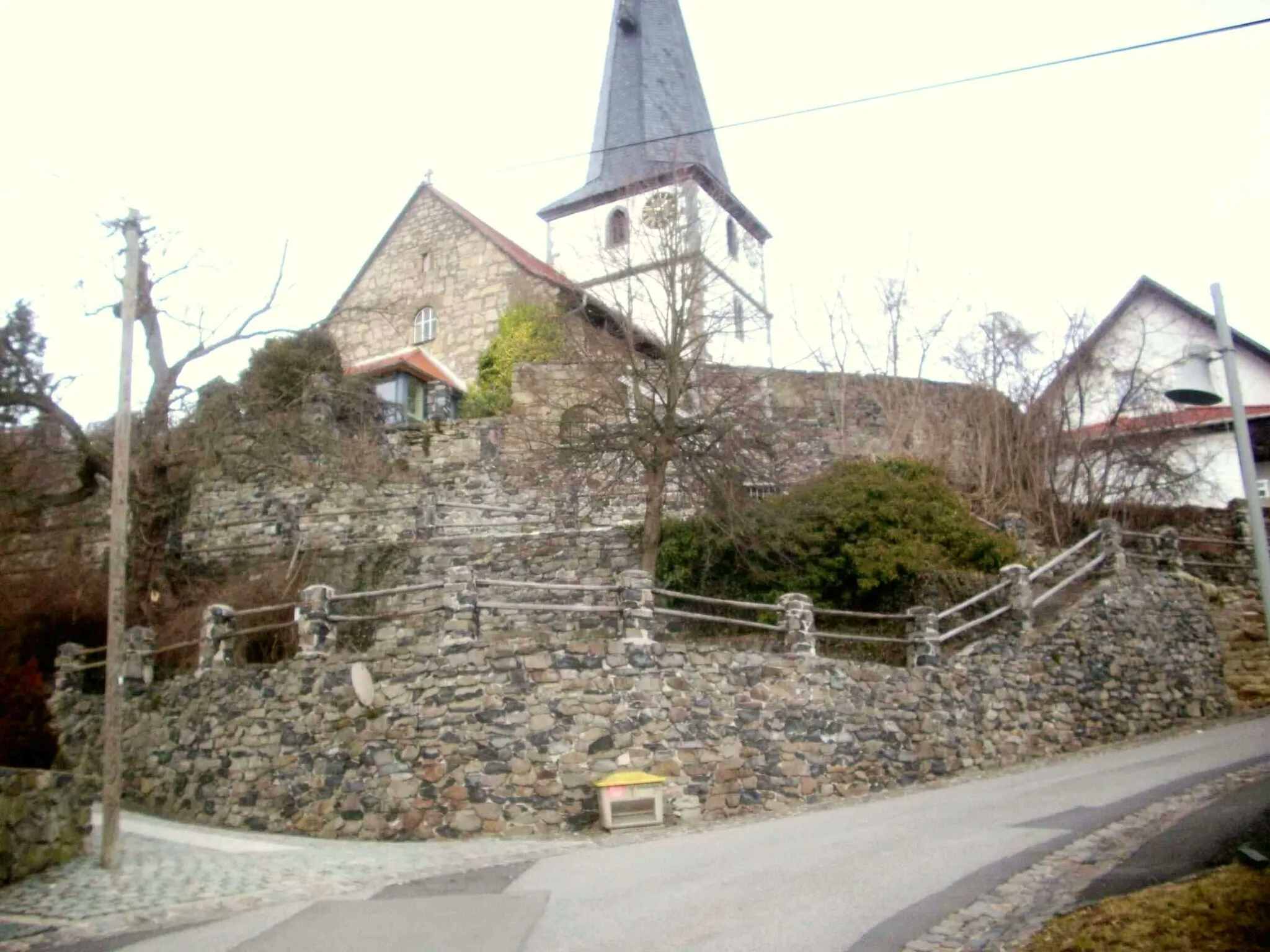
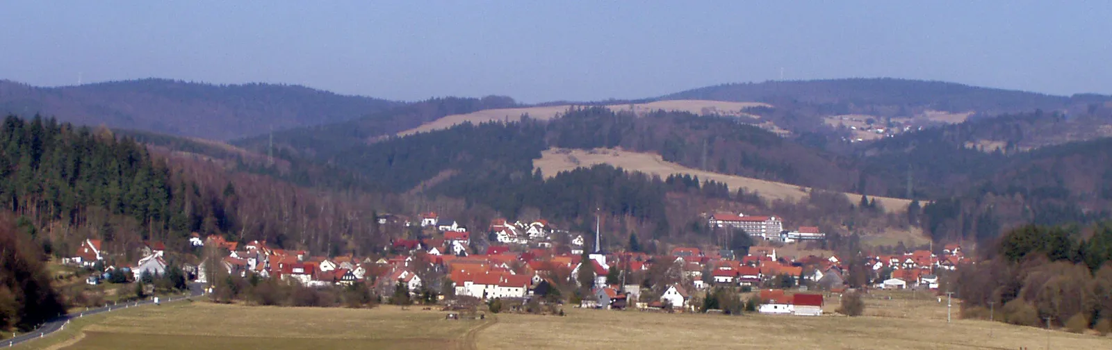
Start: Veilsdorf Village centerVeilsdorf: Cycling paradise in Thüringen
Veilsdorf, located in Thüringen, Germany, offers a great cycling experience for both road and gravel cyclists. The area is blessed with picturesque countryside and scenic routes that cater to all skill levels. Cyclists can enjoy peaceful rides through charming villages and undulating terrain, taking in the beautiful landscapes along the way. One notable cycling route in the vicinity is the Rennsteig, a ridge walk known for its challenging climbs and breathtaking views, making Veilsdorf a must-visit destination for cycling enthusiasts. 5 km
5 km
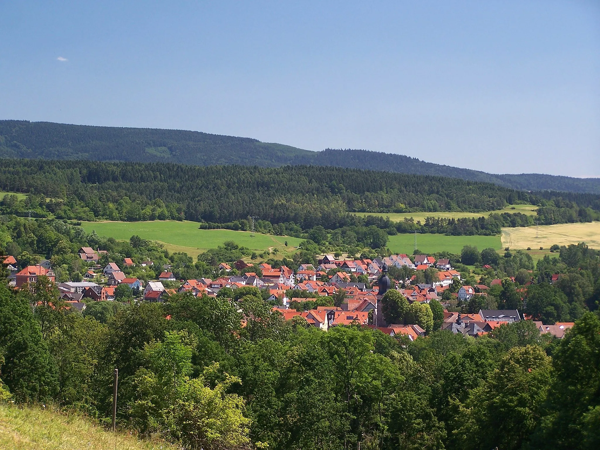
BirkenfeldVillageBirkenfeld offers stunning views of the surrounding countryside and is a perfect spot to take a break and enjoy the scenery.
7 km
7 km
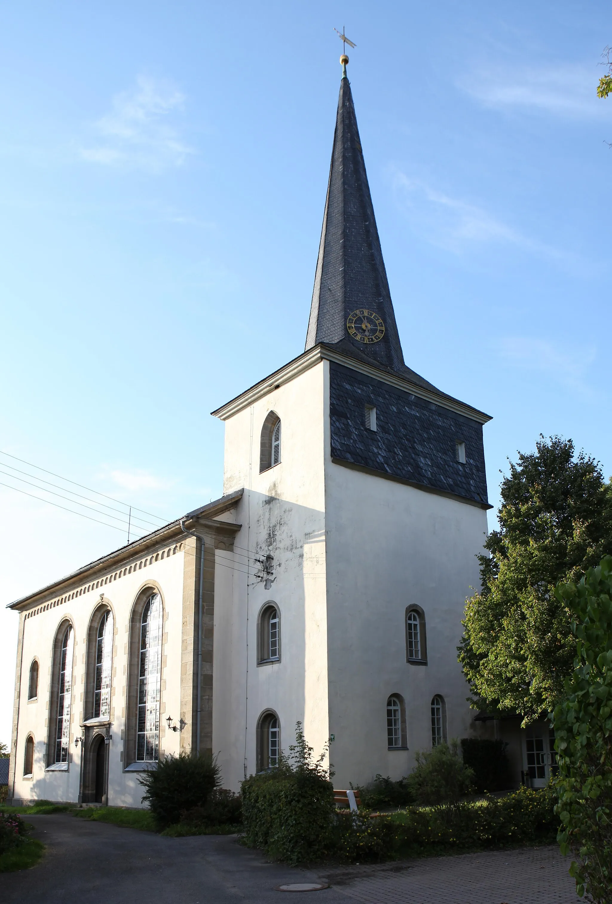
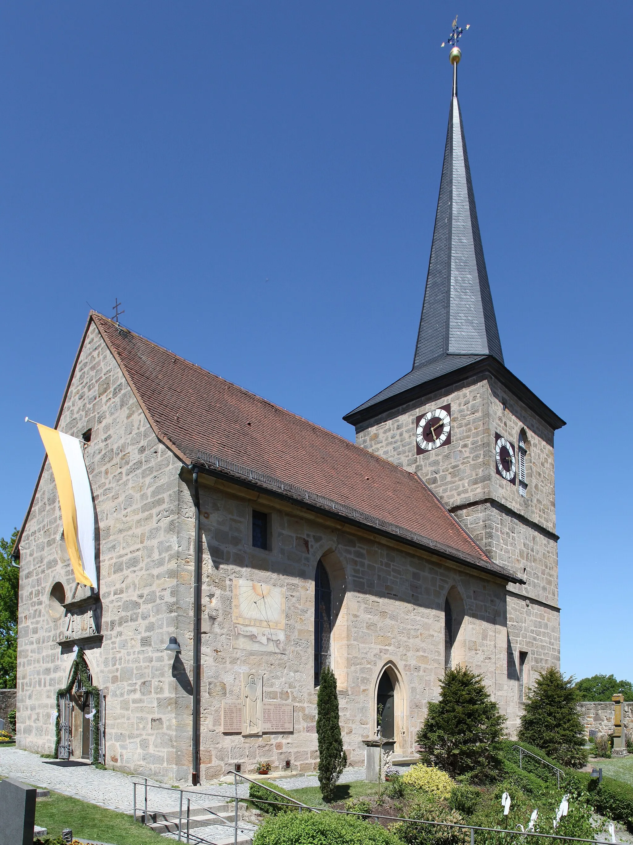
Bismarckturm HildburghausenViewpointBismarckturm Hildburghausen is a historic monument with panoramic views, providing a great opportunity to learn about local history.
22 km
22 km
Apfelberg469 mPeakApfelberg is a charming village known for its apple orchards, offering a peaceful and refreshing atmosphere.
27 km
27 km
Eichenberg614 mVillageEichenberg is located on a high plateau and provides panoramic views of the Thuringian Forest.
39 km
39 km
MäbendorfVillageMäbendorf is a quaint village surrounded by beautiful countryside, making it a serene spot to rest and recharge.
46 km
46 km
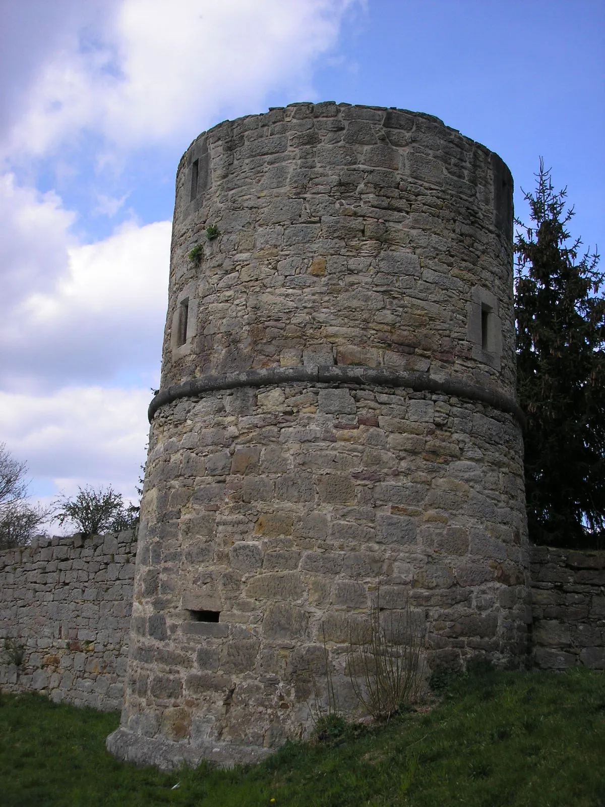
Regenberg640 mPeakRegenberg is a small hilltop village featuring a medieval castle and stunning views of the surrounding valleys.
62 km
62 km
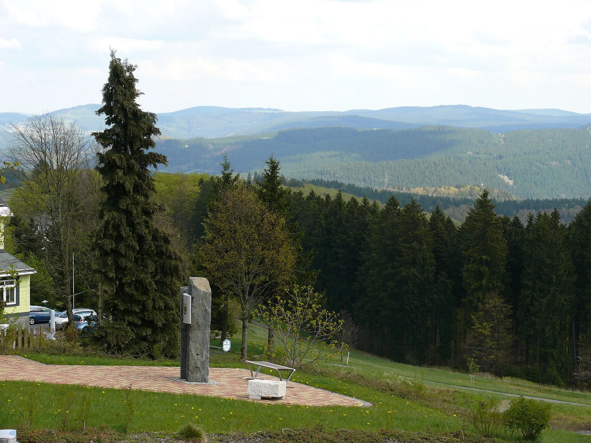
SchmückeHamletSchmücke is a popular tourist spot located at the highest point on the route, offering breathtaking panoramic views.
78 km
78 km
Brunnenhügel704 mPeakBrunnenhügel is a scenic hill with a historic fountain, providing a tranquil stop to enjoy the natural surroundings.
86 km
86 km
WaldauVillageWaldau is a charming village surrounded by lush forests, providing a serene atmosphere for a rest and picnic.
94 km
94 km
Brünner Berg487 mPeakBrünner Berg is a peaceful hilltop offering beautiful views of the countryside and a chance to soak in nature's tranquility.
94 km
94 km
BrünnVillageBrünn is a picturesque village known for its historical charm and idyllic landscapes, making it a perfect spot to take a break.
102 km
102 km
Finish: Veilsdorf Village centerVeilsdorf: Cycling paradise in Thüringen
Cycling routes nearby: