Alacier Heights Roadway
A road cycling route starting from Walschleben
Conquer the Alacher Höhe on this challenging road cycling route with breathtaking ascents.
Map
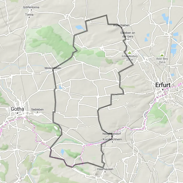
Take on the ultimate challenge of the Alacher Höhe in this demanding road cycling route. Explore the scenic beauty of Alach, Neudietendorf, Blumenberg, Unter dem Molkenborn, Molschleben, Dachwig, and Walschberg.
road
77 km
485 m
Savage
Route profile
Highlights on the route
0 km
0 km
Start: Walschleben Village centerWalschleben: Tranquil cycling paradise with scenic routes through rural Thüringen.
Walschleben, nestled in Thüringen, Germany, offers a variety of cycling opportunities for both road and gravel enthusiasts. The region features well-paved roads and countryside views, making it an enjoyable destination for leisurely rides. While there are no famous climbs in the immediate vicinity, there are plenty of scenic routes through rural landscapes. With its peaceful ambiance and pleasant cycling routes, Walschleben is a suitable locality for cyclists looking for a relaxed biking experience.10 km
10 km
Alacher Höhe329 mPeakConquer the brutal ascent of Alacher Höhe, known for its challenging gradients and scenic views.
11 km
11 km
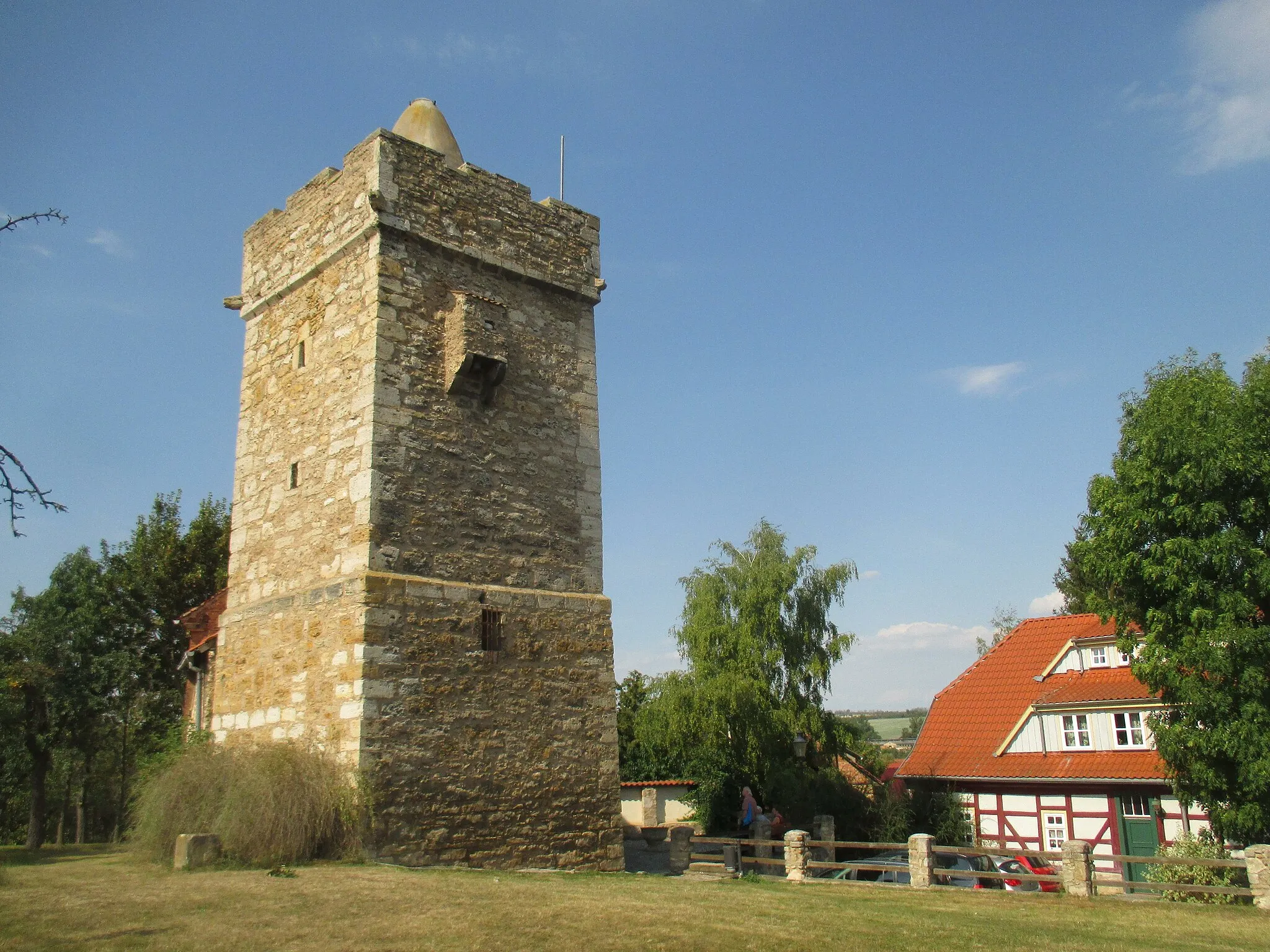
AlachVillageExplore the charming town of Alach and take in its beautiful landscapes and historic architecture.
25 km
25 km
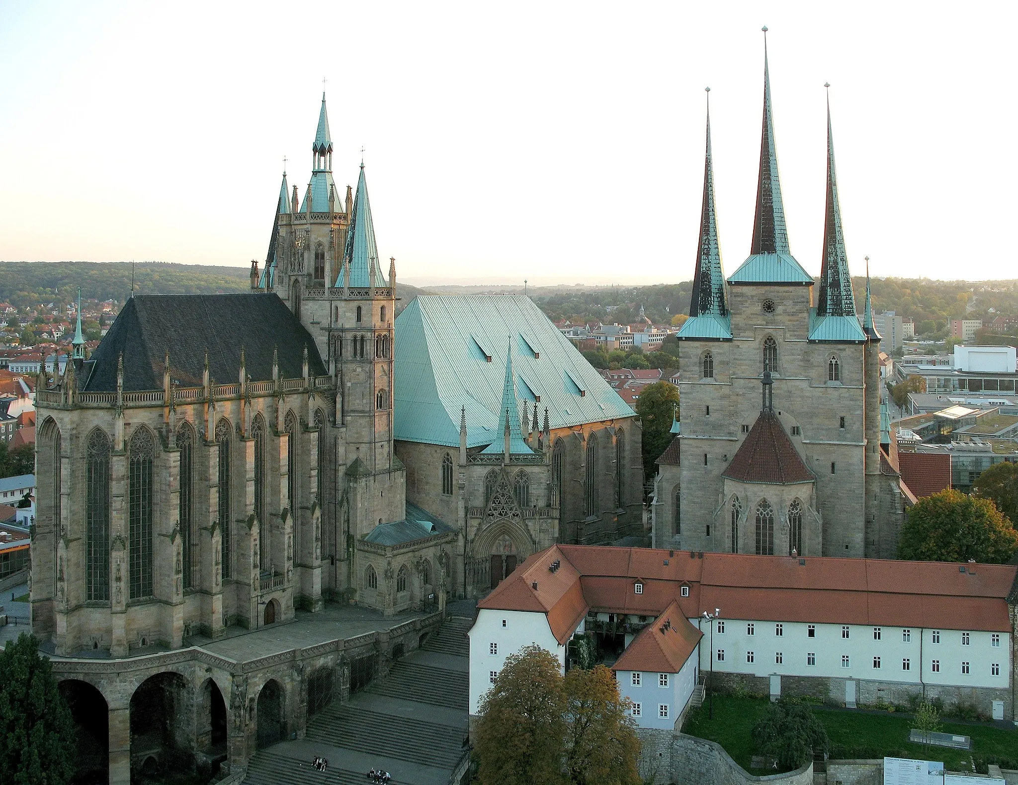
NeudietendorfVillageDiscover Neudietendorf and its unique blend of modernity and tradition.
34 km
34 km
Blumenberg290 mPeakMarvel at the picturesque landscapes of Blumenberg and enjoy a relaxing ride through its countryside.
48 km
48 km
Unter dem MolkenbornViewpointPass beneath the impressive Unter dem Molkenborn bridge, an architectural masterpiece.
58 km
58 km
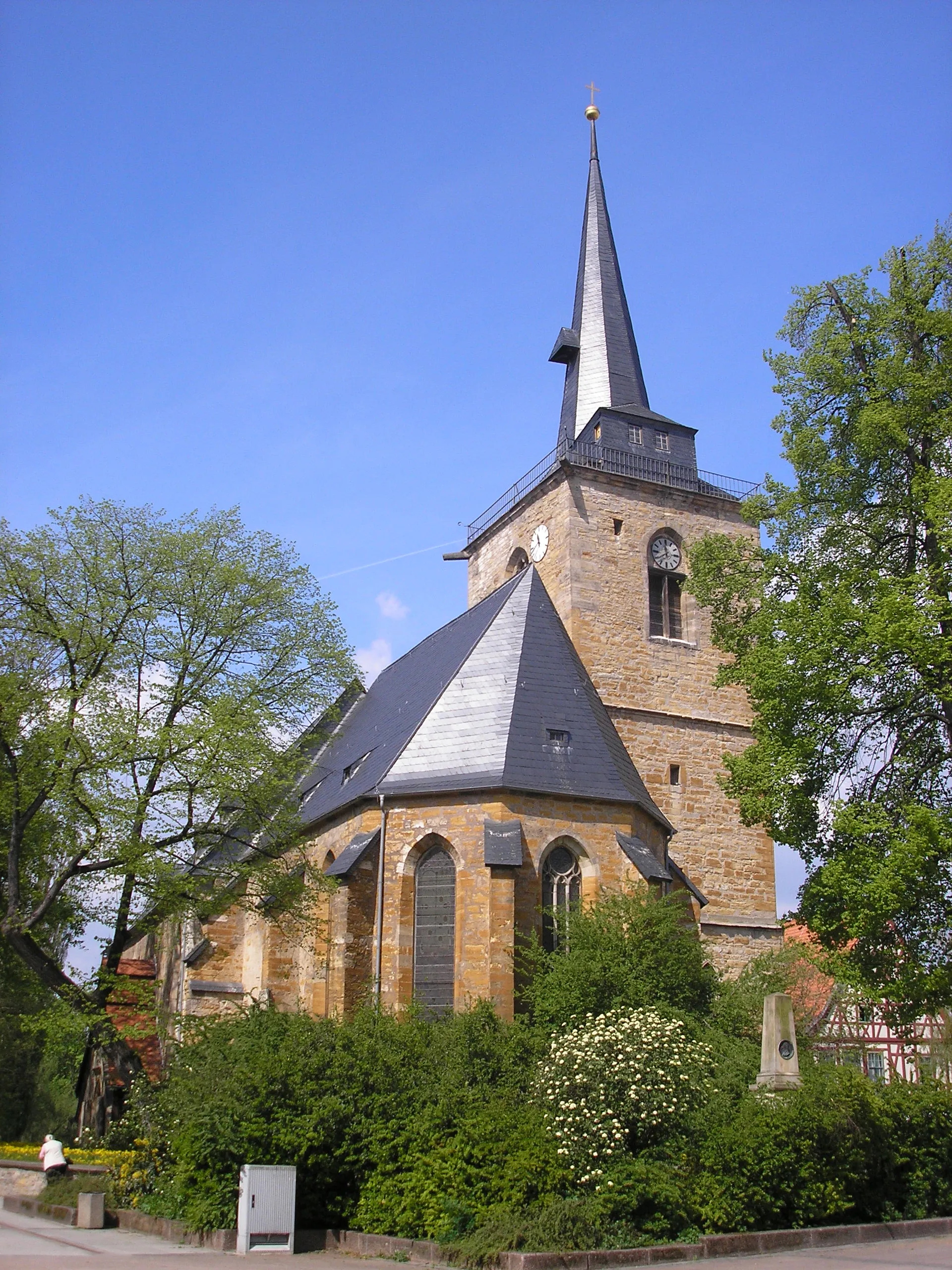
MolschlebenVillageChallenge yourself with the Molschleben climb, known for its stunning views and steep gradients.
69 km
69 km
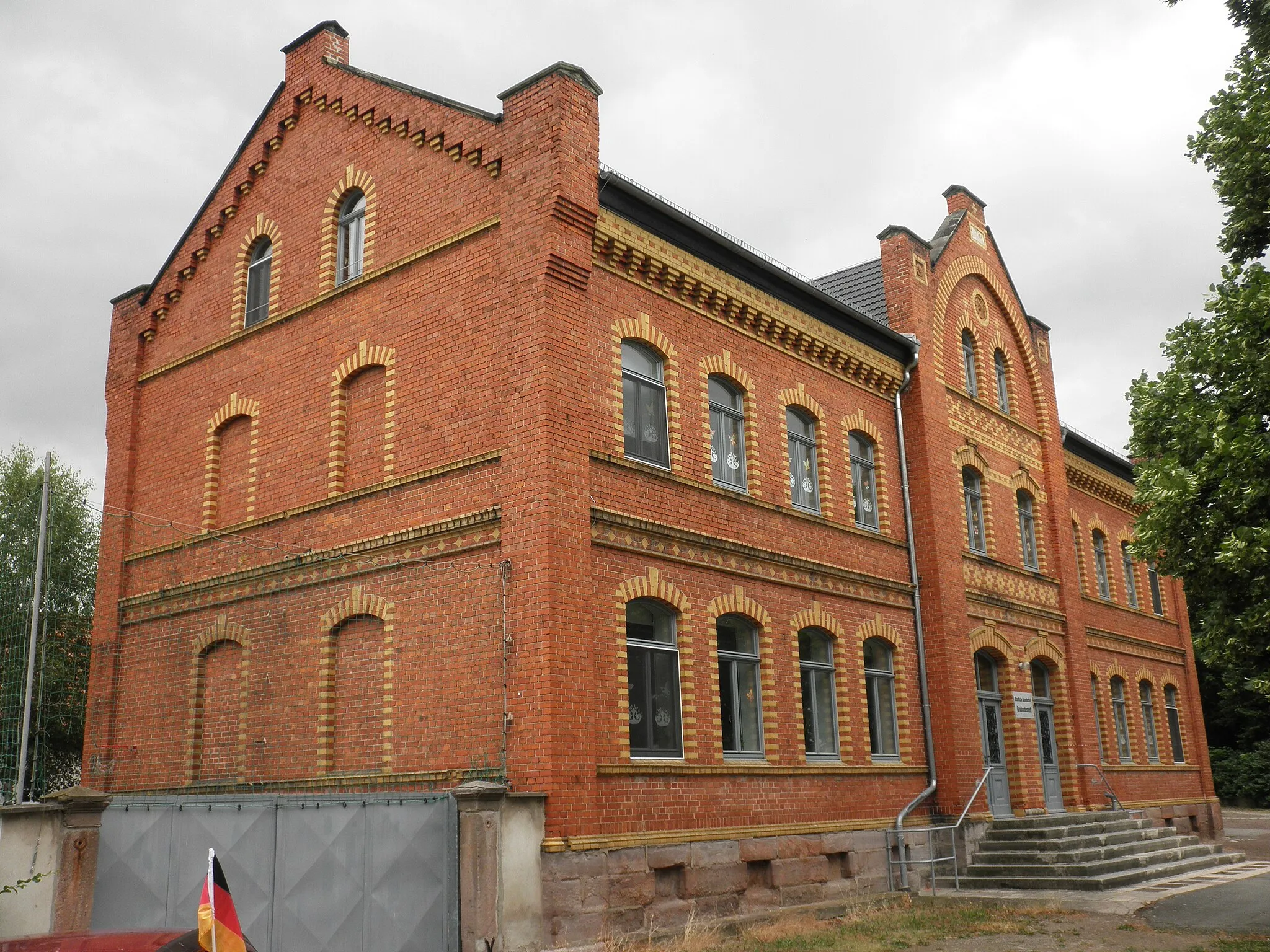
DachwigVillageVisit the historical village of Dachwig and learn about its fascinating past.
75 km
75 km
Walschberg208 mPeakTake on the epic Walschberg climb and revel in the sense of accomplishment at its summit.
77 km
77 km
Finish: Walschleben Village centerWalschleben: Tranquil cycling paradise with scenic routes through rural Thüringen.
Cycling routes from Walschleben:
Sommerberg Loop Henschleber Berg Gravel Ride Walschberg Adventure Steinberg Loop Alacier Heights Roadway Walschleben to Gotha Gravel Loop Walschleben to Erfurt Road Loop Rote Wand Gravel Loop Walschleben to Mittelhausen Road Loop Walschleben to Thüringen's Hidden Gems Road Loop Walschleben to Gebesee Route
Cycling routes nearby: