Bollendorf Loop
A road cycling route starting from Bollendorf
Discover the picturesque scenery of Bollendorf and its surroundings
Map
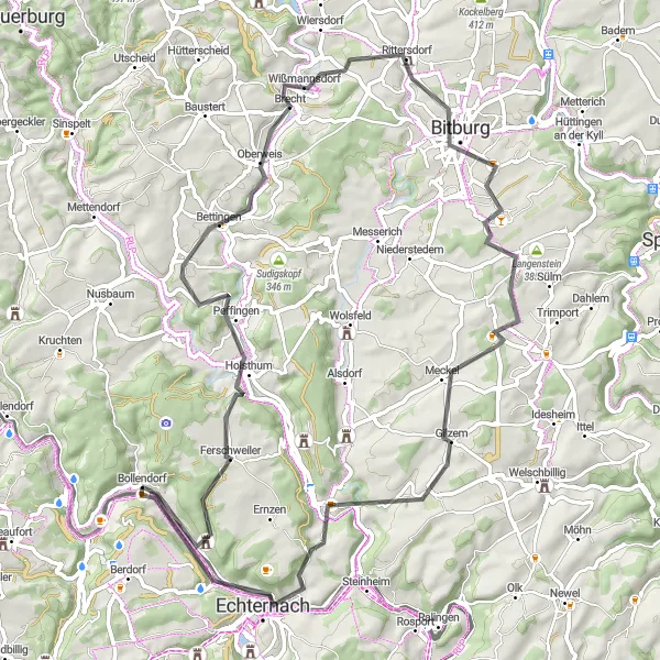
The Bollendorf Loop takes you through stunning landscapes, quaint villages, and beautiful riverside paths. With a total distance of 73 kilometers and an ascent of 1090 meters, this road cycling route offers a challenging yet rewarding experience. The route starts and ends in Bollendorf, a charming town known for its natural beauty. Along the way, you will encounter highlights such as Teufelsloch, a fascinating rock formation, Holsthum, a historical village, and Geierslay, a scenic wine region. Overall, the Bollendorf Loop is a great choice for cyclists looking to explore the Trier area.
road
73 km
1090 m
Tough
Route profile
Highlights on the route
0 km
0 km
Start: Bollendorf Village centerBollendorf: A cyclist's dream in the heart of Trier
Bollendorf is a locality in the Trier region of Germany. Road cyclists will enjoy the hilly terrain and picturesque landscapes in this area. There are several well-known climbs nearby, including the challenging Bollendorf Pass and Schloss Berg. Gravel cyclists can explore the numerous gravel paths that wind through the beautiful forests and countryside. Bollendorf is a great destination for cyclists looking for both challenging climbs and scenic gravel routes.0 km
0 km
BollendorfVillageBollendorf - a picturesque town known for its natural beauty and charming atmosphere
1 km
1 km
TeufelslochViewpointTeufelsloch - a fascinating rock formation along the route
11 km
11 km
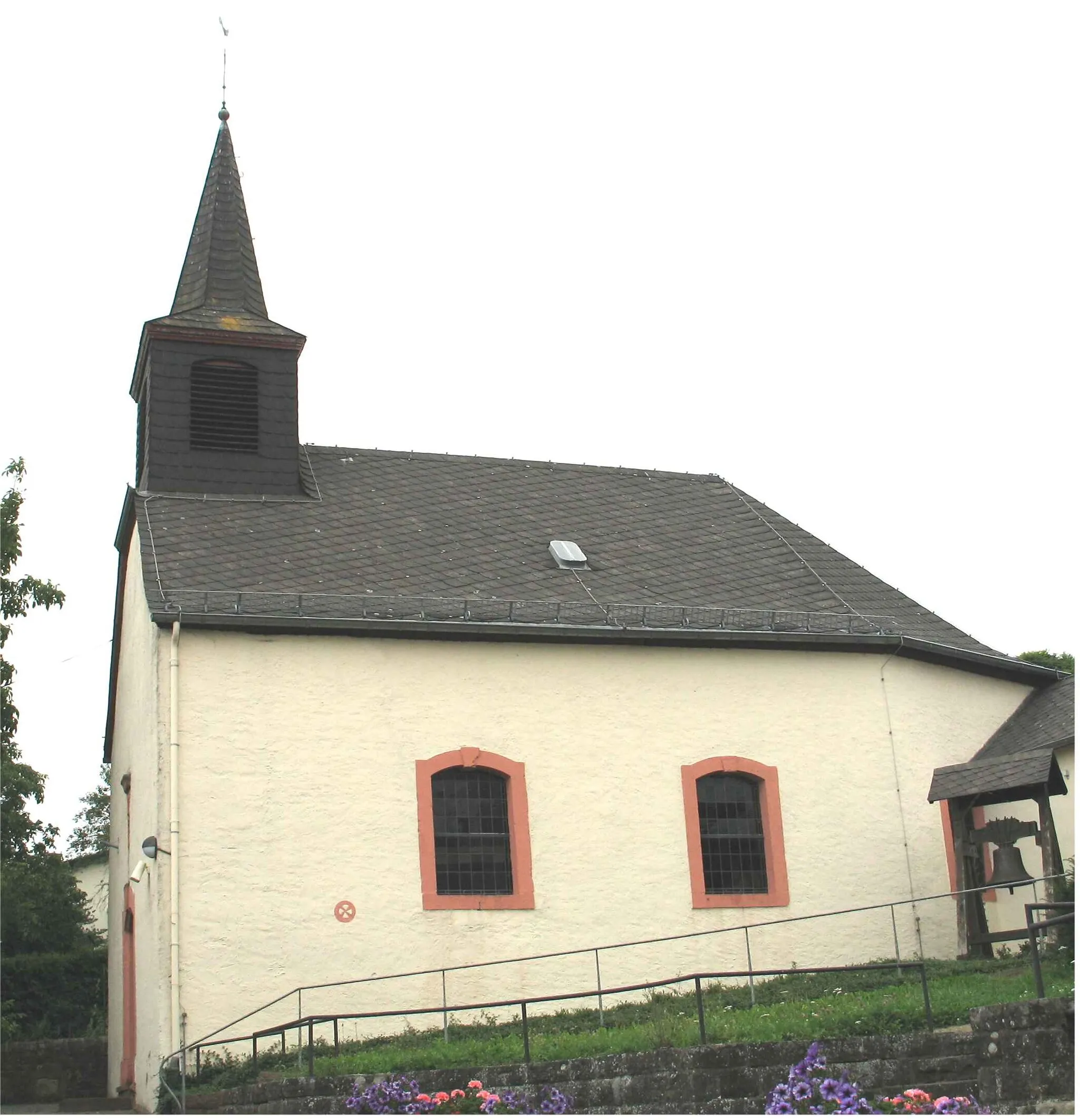
HolsthumVillageHolsthum - a historical village with beautiful architecture
31 km
31 km
Nußberg358 mPeakNußberg - a small hill offering scenic views of the surrounding countryside
35 km
35 km
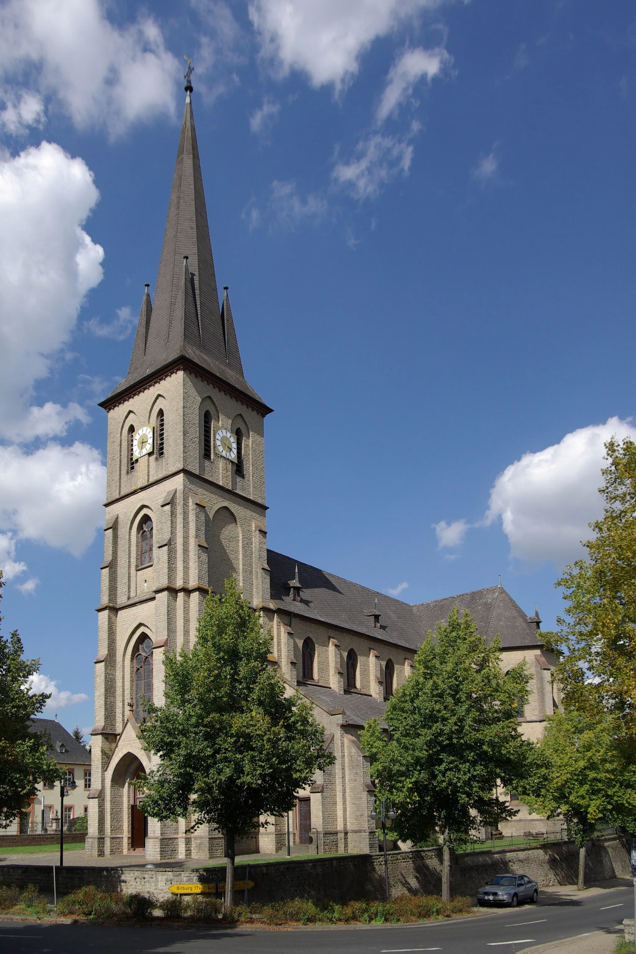
BitburgTownBitburg - a popular town known for its breweries and historic sites
58 km
58 km
Apelberg269 mPeakApelberg - a challenging climb with rewarding panoramic views
60 km
60 km
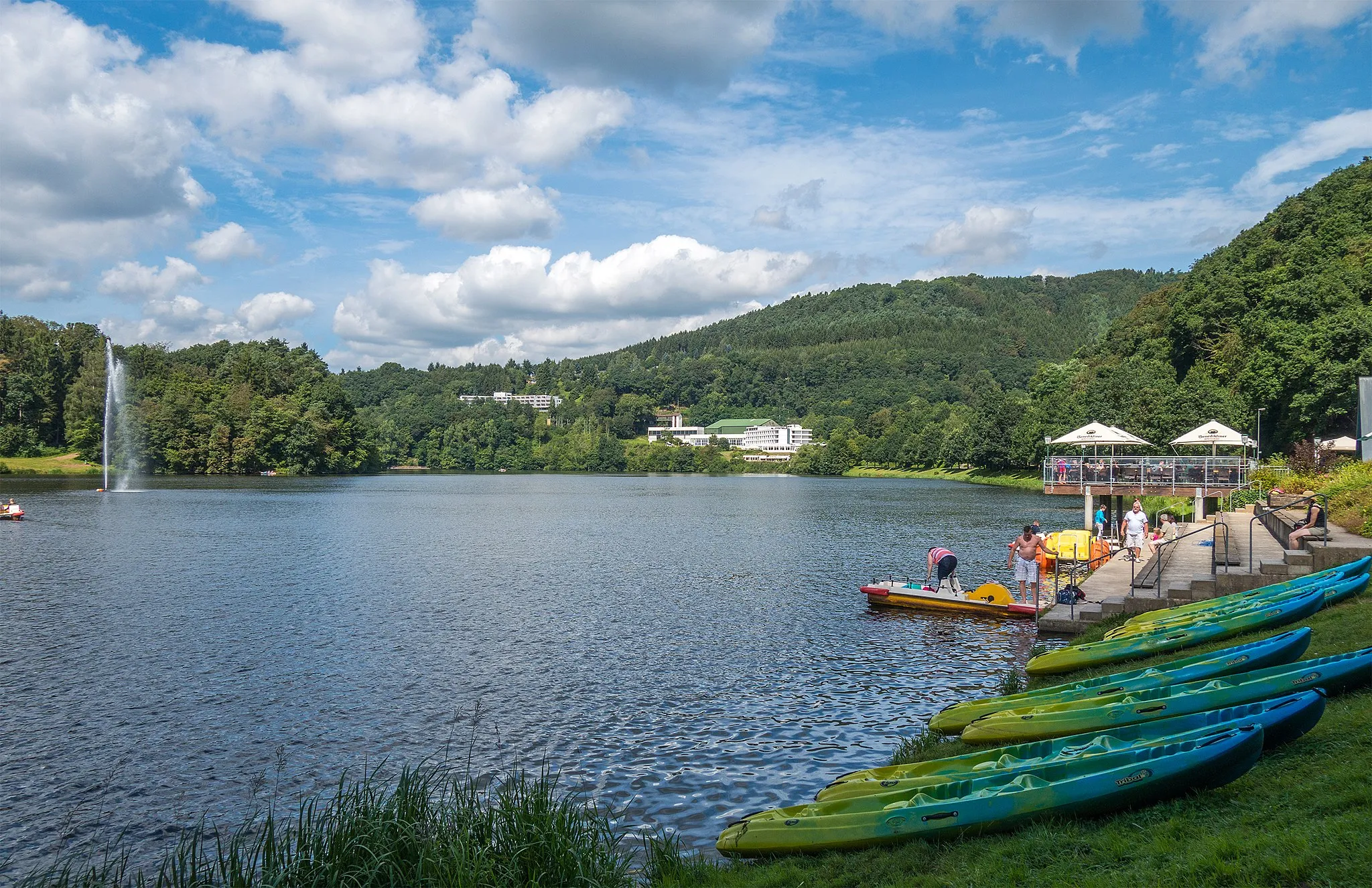
IrrelVillageIrrel - a charming village on the banks of the Sauer River
68 km
68 km
GeierslayViewpointGeierslay - a scenic wine region with vineyards and wine cellars
72 km
72 km
Bollendorf-PontHamletBollendorf-Pont - a charming village with a picturesque bridge
73 km
73 km
Finish: Bollendorf Village centerBollendorf: A cyclist's dream in the heart of Trier
Cycling routes from Bollendorf:
Cycling routes nearby: