Mountain Adventure on the Road
A road cycling route starting from Gusterath
Embark on a thrilling mountain adventure on this road cycling route.
Map

This cycling route near Gusterath offers a thrilling mountain adventure for road cyclists. With a total distance of 53 kilometers and an elevation gain of 1025 meters, it promises a challenging and rewarding ride. The route takes you through picturesque villages, breathtaking landscapes, and iconic landmarks, providing a truly immersive and memorable cycling experience. Whether you're a seasoned cyclist or a beginner looking for a challenge, this route offers a perfect blend of scenic beauty and physical exertion.
road
53 km
1025 m
Tough
Route profile
Highlights on the route
0 km
0 km
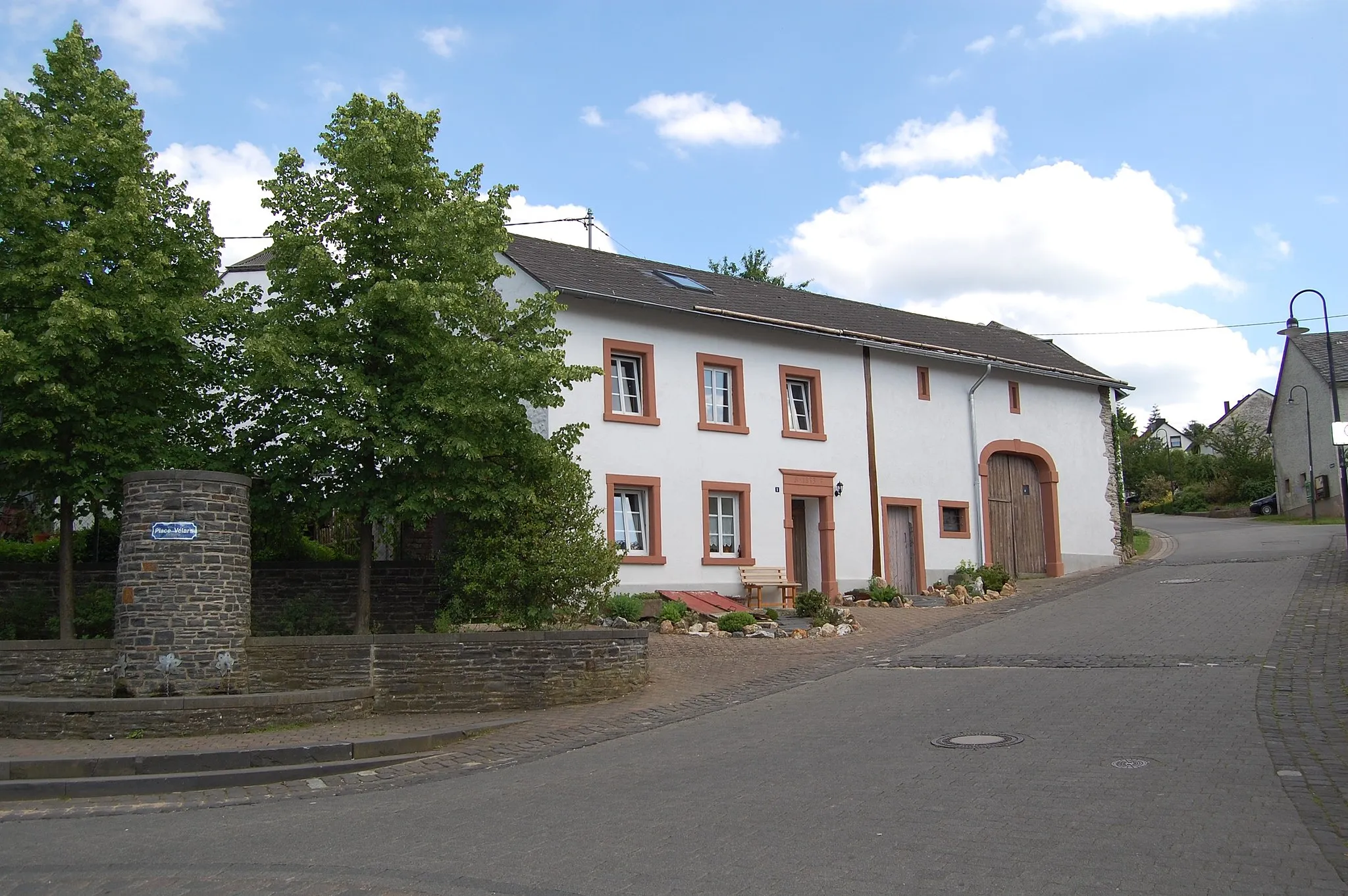
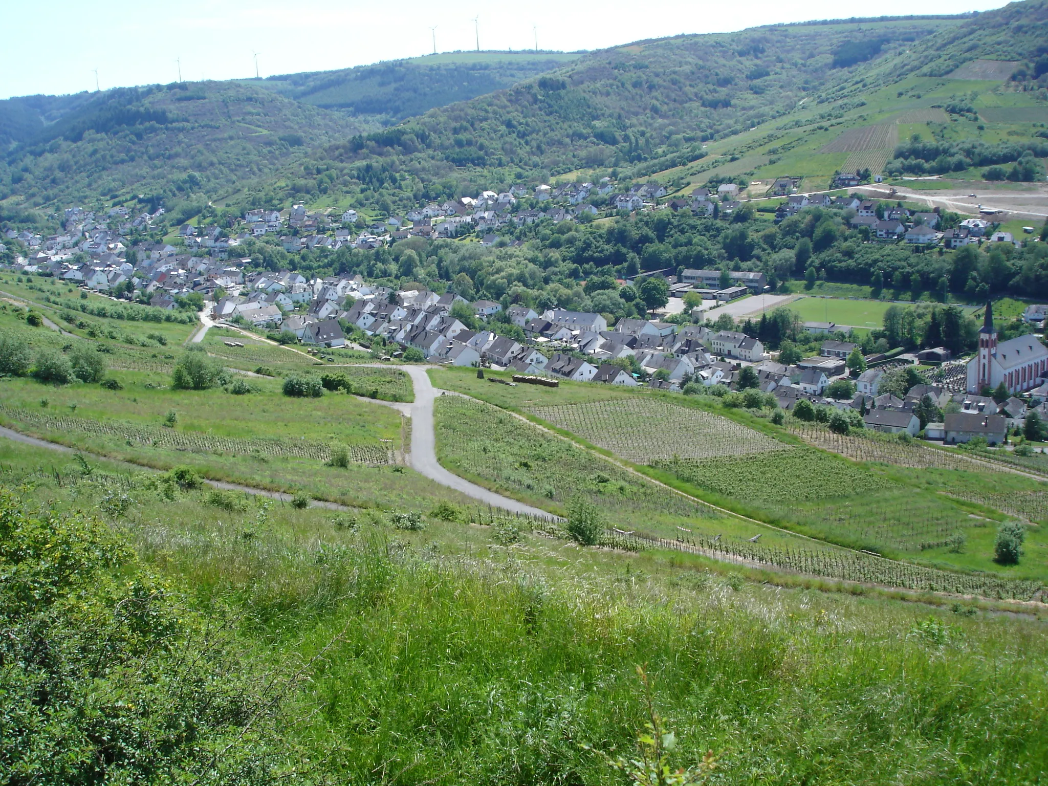
Start: Gusterath Village centerGusterath: Rural Charm and Diverse Cycling Terrain in Trier
Gusterath is a town located in the Trier region of Germany. For road and gravel cyclists, the area offers a mix of challenging climbs and rolling hills. The town itself has a rural charm, with traditional architecture and idyllic scenery. Notable cycling spots include the Saarland Loop, a well-known cycling route that passes through Gusterath and offers scenic views of the surrounding landscape. With its varied terrain and cycling infrastructure, Gusterath is a great destination for both recreational and competitive cyclists.2 km
2 km
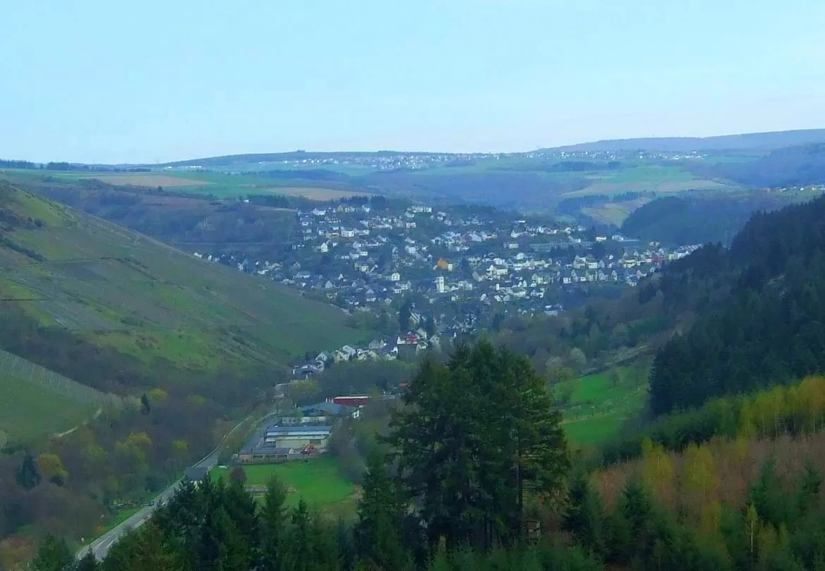
HockweilerVillageLocated at the 2-kilometer mark, Hockweiler offers stunning panoramic views of the surrounding countryside.
10 km
10 km
Dreikopf501 mPeakAt the 10-kilometer mark, you'll reach Dreikopf, a famous cycling spot known for its challenging slopes and breathtaking vistas.
23 km
23 km
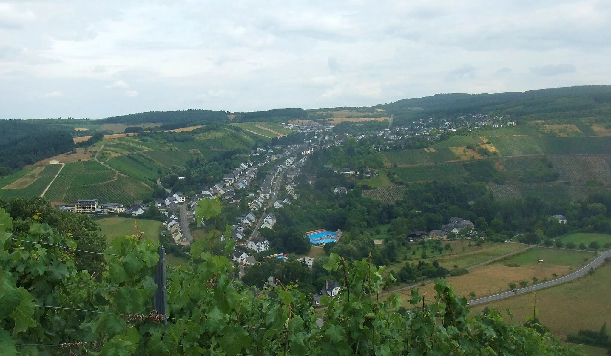
IrschVillagePass through Irsch at the 23-kilometer mark, where you'll encounter charming wineries and lush vineyards.
29 km
29 km
Bismarckturm SchodenViewpointBismarckturm Schoden, located at the 29-kilometer mark, offers a historical landmark and a vantage point for panoramic views of the Moselle River.
36 km
36 km
GalgenbergViewpointAt the 36-kilometer mark, Galgenberg features a serene natural environment and peaceful surroundings.
45 km
45 km
PellingenVillagePellingen, located at the 45-kilometer mark, is a picturesque village surrounded by idyllic landscapes and charming traditional architecture.
51 km
51 km
Galgenwild435 mPeakGalgenwild, situated at the 51-kilometer mark, offers a peaceful escape into nature with its scenic trails and forested surroundings.
53 km
53 km
GusterathVillageGusterath, the starting and ending point of the route, is a quaint village nestled amidst hills and surrounded by unspoiled natural beauty.
53 km
53 km
Finish: Gusterath Village centerGusterath: Rural Charm and Diverse Cycling Terrain in Trier
Cycling routes from Gusterath:
Mountain Adventure on the Road Gusterath Loop Gravel Adventure near Gusterath Gusterath Gravel Loop Scenic Gravel Ride Forests and Hills Gravel Loop Pristine Road Cycling Experience Kruterberg Loop Panoramic Road Cycling Tour Saarland Grand Tour Ollmuth and Sehrer Kupp Gravel Loop Romika-Weg Road Challenge
Cycling routes nearby: