Mountains and Valleys
A road cycling route starting from Mehring
A challenging road bike route with stunning views and beautiful landscapes
Map
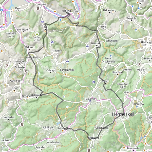
This route takes you through the scenic countryside of Mehring, with its rolling hills and picturesque valleys. Along the way, you will encounter several challenging climbs and thrilling descents, which are sure to test your cycling skills. The route offers breathtaking views of the Buedlicher Berg, an iconic landmark in the region, as well as the tranquil Riveris. With a total ascent of 1635 meters and a distance of 69 kilometers, this route is suitable for experienced cyclists looking for a tough but rewarding adventure.
road
69 km
1635 m
Tough
Route profile
Highlights on the route
0 km
0 km
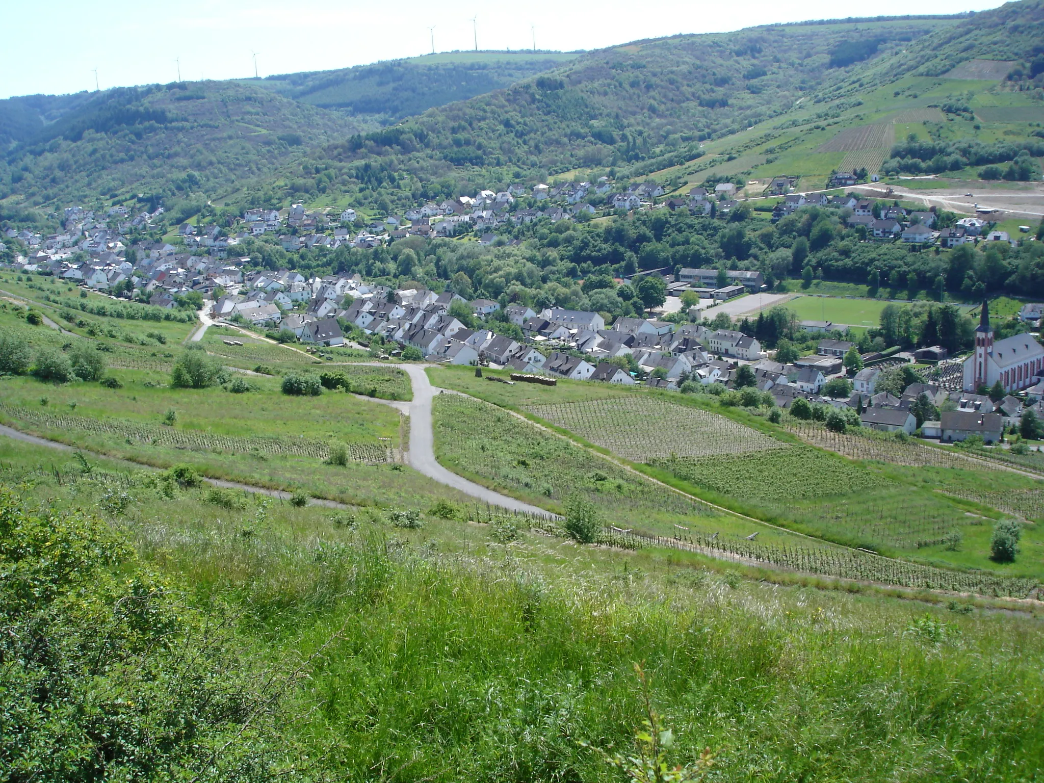
Start: Mehring Village centerMehring: Conquer the Trierscheberg climb and admire the scenic vineyard landscapes in Mehring.
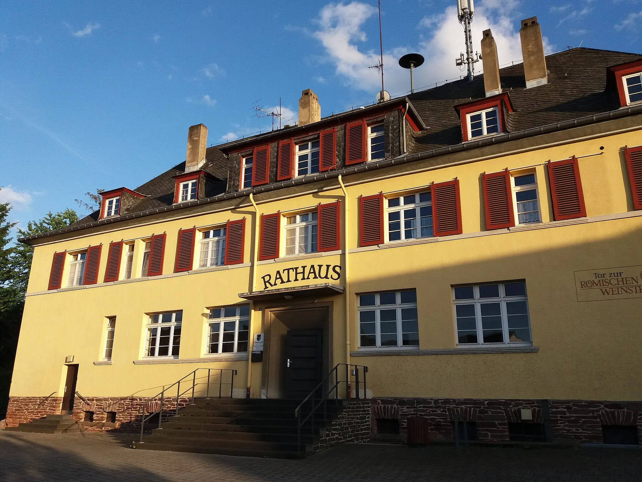
Mehring is a charming town located in the Trier region of Germany. With its rolling hills and vineyard-covered landscapes, Mehring provides a scenic backdrop for road and gravel cycling. The notable climb in the area is the Trierscheberg, known for its challenging incline and panoramic views at the summit. Cyclists can also explore the Moselle River Valley and its well-marked cycling routes. Mehring is a well-regarded destination for cyclists, receiving a rank of 4 in terms of cycling-friendly areas.7 km
7 km
Buedlicher Berg419 mPeakLocated at the top of Buedlicher Berg, this highlight offers panoramic views of the surrounding valleys and vineyards.
11 km
11 km
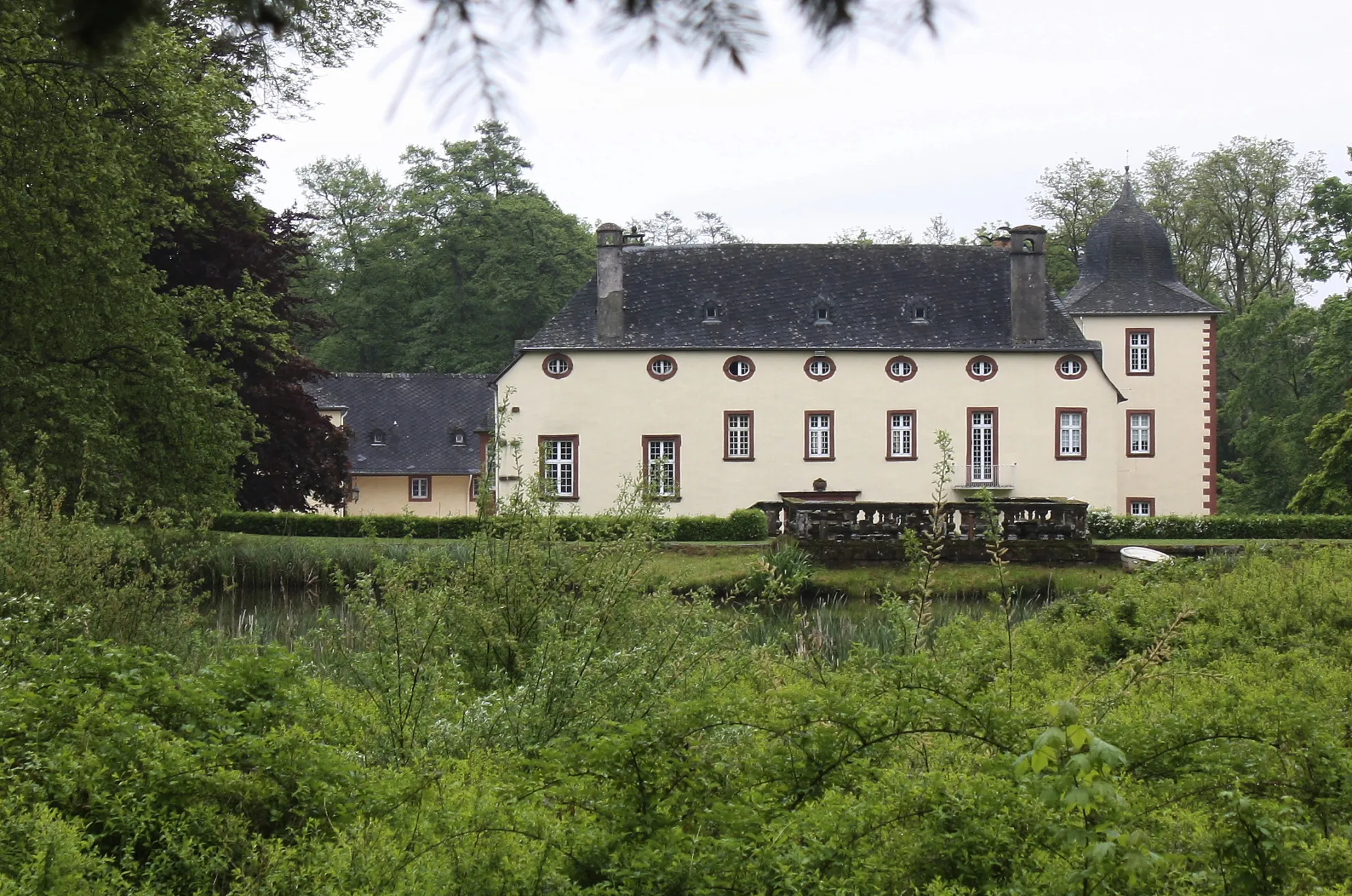
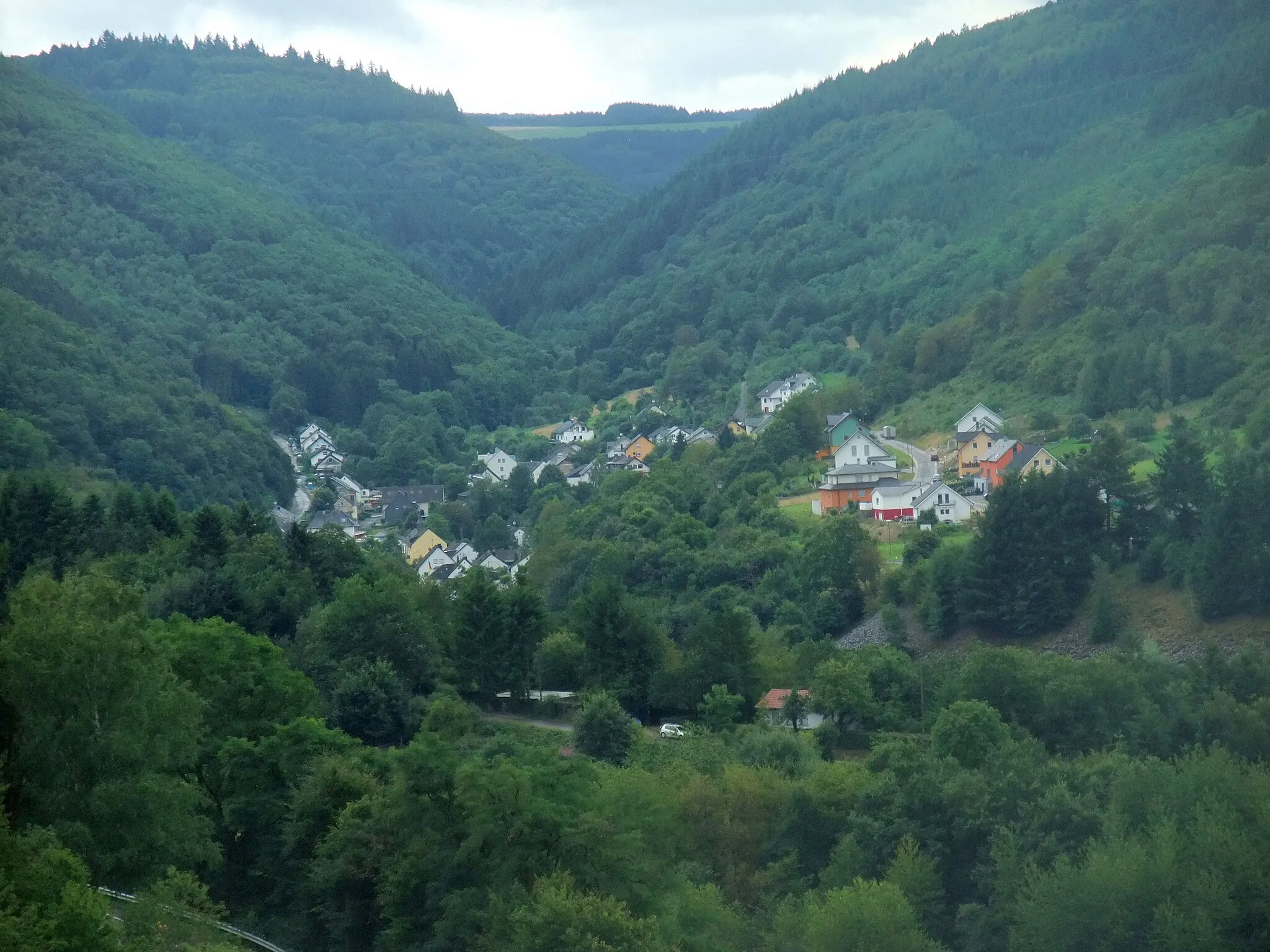
BescheidVillageThe village of Bescheid is known for its charming medieval architecture and rich history.
25 km
25 km
HermeskeilTownHermeskeil is home to a fascinating aviation museum, where you can explore a wide collection of aircraft and learn about the history of flight.
32 km
32 km
Hasenknopf497 mPeakThe Hasenknopf is a natural rock formation that provides a stunning viewpoint over the Mosel River.
38 km
38 km
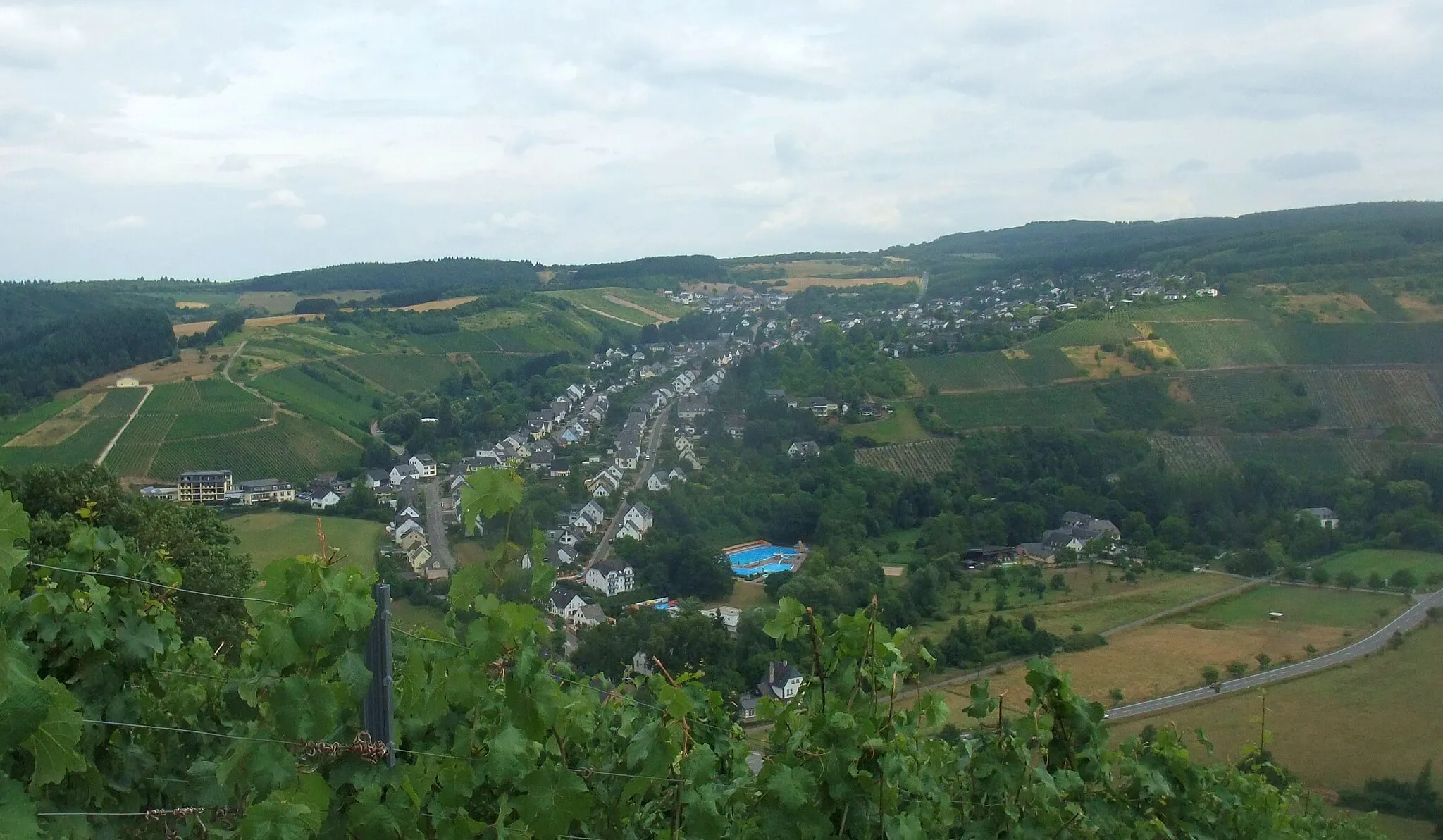
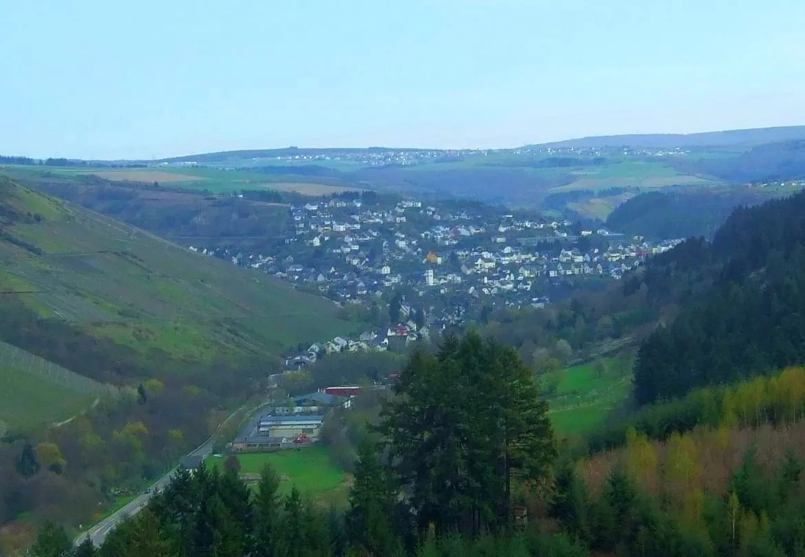
Kell am SeeVillageKell am See is a serene lakeside town, offering opportunities for relaxation and water activities.
53 km
53 km
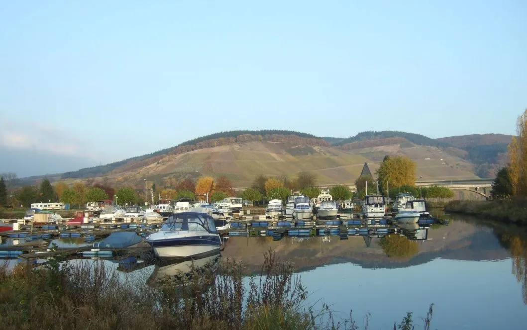
RiverisVillageThe Riveris is a beautiful river, surrounded by forests and cliffs. Take a moment to enjoy its tranquil beauty.
56 km
56 km
Naumeter KuppViewpointNaumeter Kupp is a peaceful hilltop with expansive views of the surrounding countryside. It's a great spot for a picnic or for capturing memorable photos.
63 km
63 km
Vogtel296 mPeakVogtel is a charming village with traditional half-timbered houses and scenic landscapes.
65 km
65 km
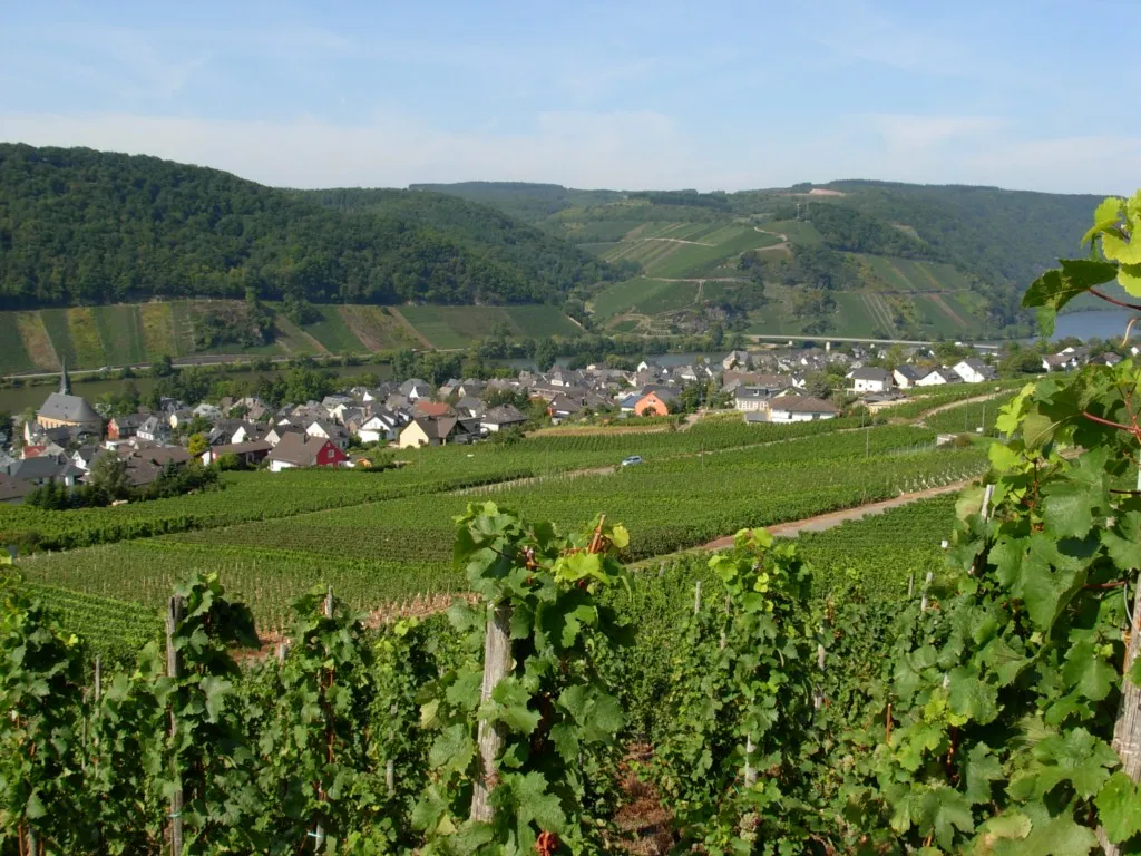
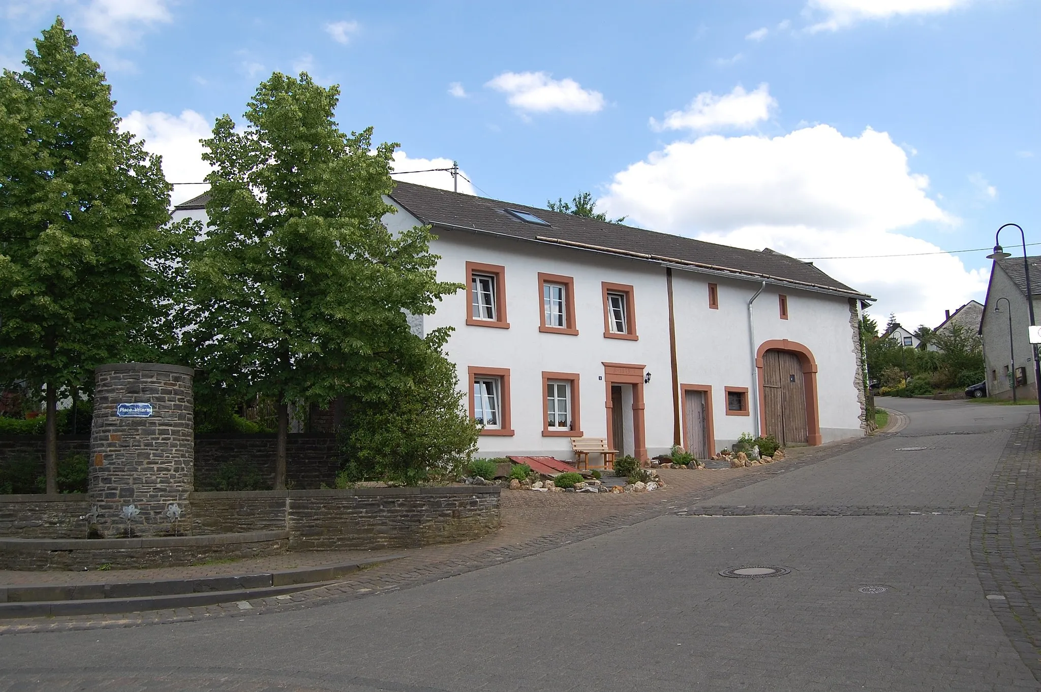
RiolVillageRiol is a small town known for its idyllic vineyards and wine culture. Take a break and savor the local wines in one of the charming wineries.
69 km
69 km
Finish: Mehring Village centerMehring: Conquer the Trierscheberg climb and admire the scenic vineyard landscapes in Mehring.
Cycling routes nearby: