Challenging Gravel Tour through Pellingen and Ockfen
A gravel cycling route starting from Ralingen
Embark on a challenging gravel tour through rugged terrains, discovering hidden gems of Pellingen and Ockfen
Map
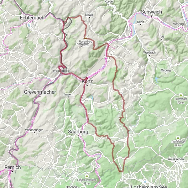
This gravel cycling route starting near Ralingen takes you on a thrilling adventure through the rugged terrains of Pellingen and Ockfen. With challenging uphill sections and breathtaking views, this tour is suitable for experienced bikers seeking an adrenaline rush. The overall difficulty level of the route is high, but the captivating landscapes and unique attractions make it a memorable experience.
gravel
97 km
1515 m
Tough
Route profile
Highlights on the route
0 km
0 km
Start: Ralingen Village centerRalingen: Cycling Amidst Beautiful Vineyards and Rivers
Ralingen, located in Trier, Germany, is a charming locality that offers wonderful cycling opportunities. The region features well-maintained roads and scenic landscapes, making it ideal for both road and gravel cyclists. Ralingen is situated near the Moselle River, which offers stunning views and the chance to cycle through picturesque vineyards. The area is also home to the legendary Moselle Wine Cycle Path, a popular route that takes cyclists on a journey through idyllic wine-growing villages. Cyclists looking for a blend of outdoor adventure and cultural exploration will find Ralingen to be the perfect destination.9 km
9 km
Hungerberg405 mPeakHungerberg is the starting point of this challenging gravel tour, situated at a distance of 9 km. Its steep ascent will test your biking skills while rewarding you with stunning panoramic views.
12 km
12 km
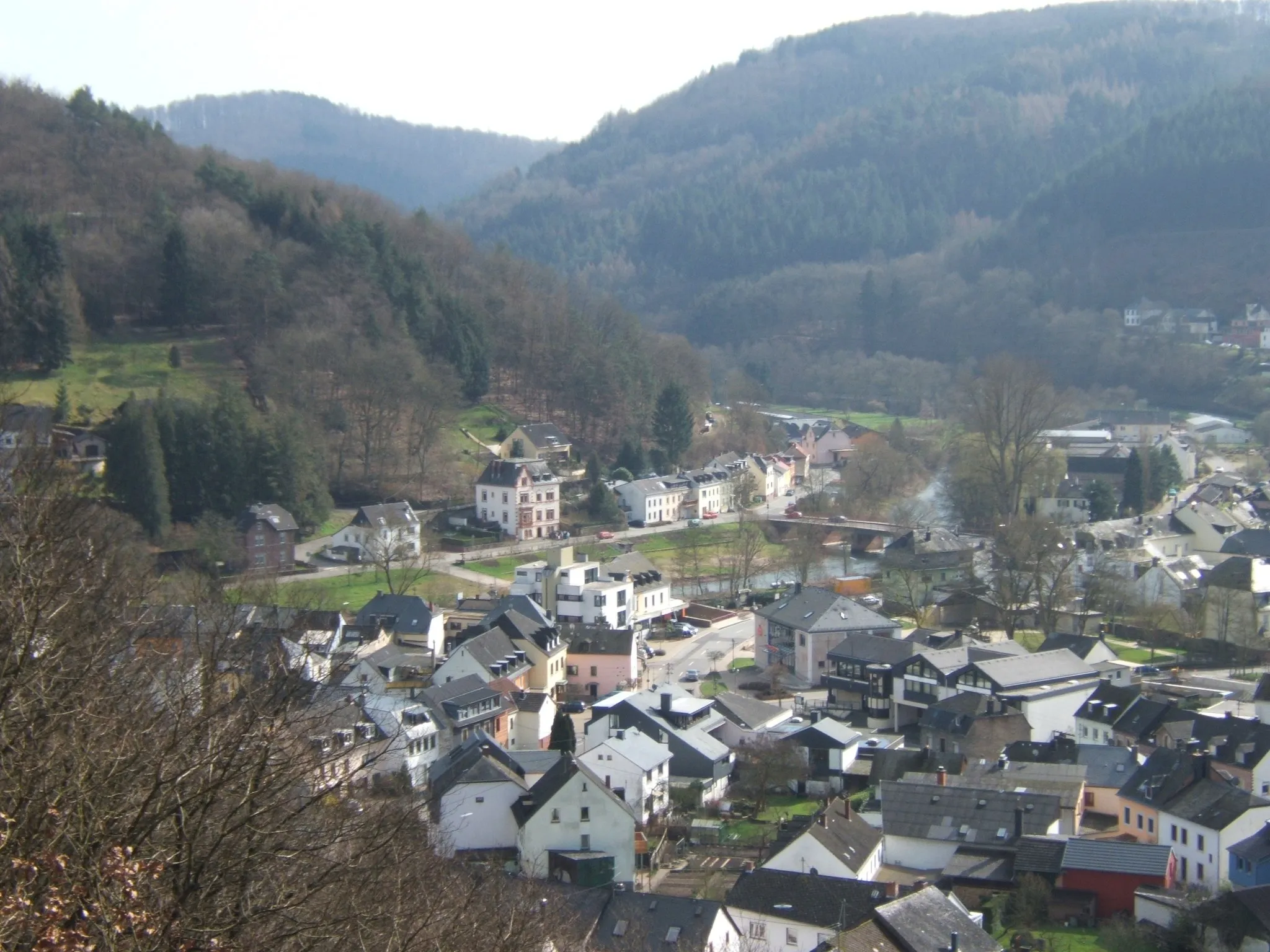
SirzenichVillageSirzenich, located 12 km on the route, is a small village known for its tranquility and idyllic landscapes. Explore its charming streets and immerse yourself in the local ambiance.
30 km
30 km
PellingenVillagePellingen, situated 30 km away from Ralingen, is a hidden gem in the region. Its lush green valleys and vineyards offer a serene escape from the bustling city life.
33 km
33 km
Dreikopf501 mPeakDreikopf, located at a distance of 33 km, is a natural rock formation that offers breathtaking views of the surrounding landscape. Take a moment to appreciate the unique beauty of this geological wonder.
46 km
46 km
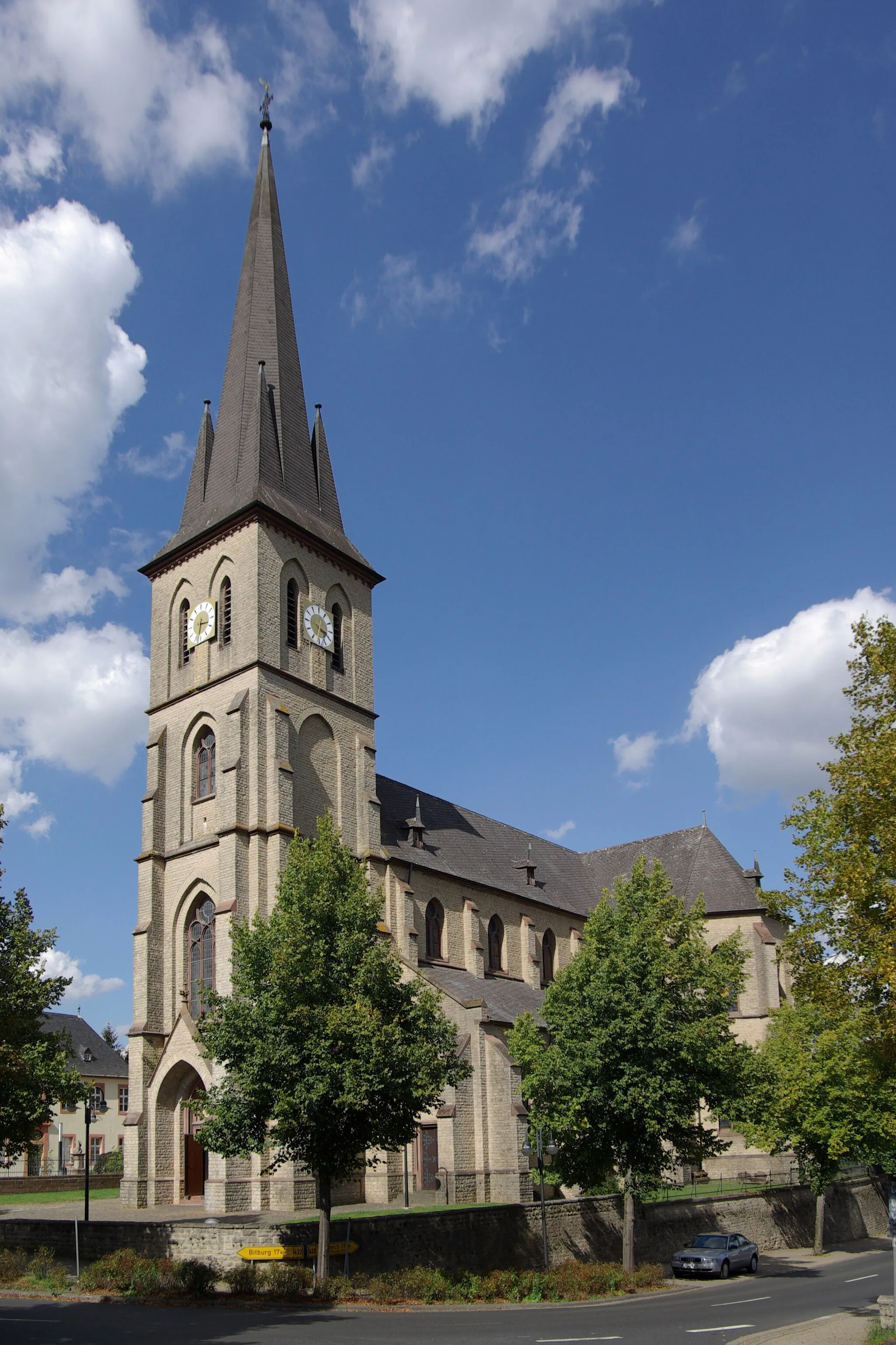
GreimerathVillageGreimerath, situated 46 km away from Ralingen, is a charming village known for its vineyards and wine production. Visit a local winery and indulge in exquisite wine tastings.
51 km
51 km
Judenkopf517 mPeakJudenkopf, located at a distance of 51 km, offers stunning views of the Moselle River and its picturesque surroundings. Take a break here and capture some memorable photos.
65 km
65 km
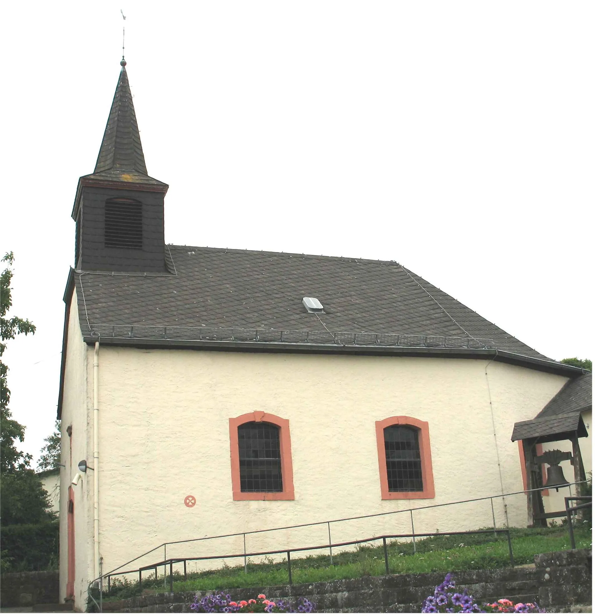
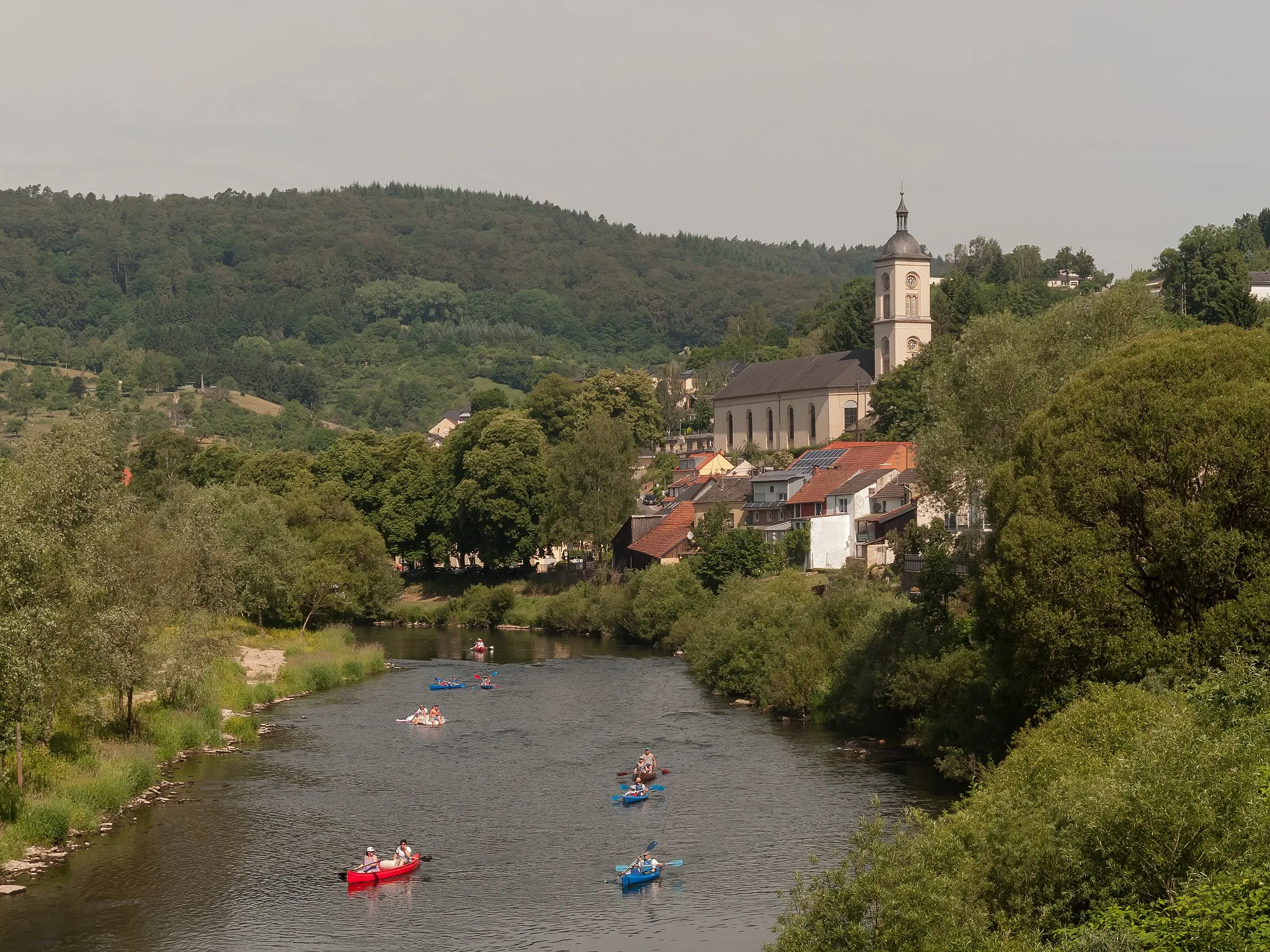
OckfenVillageOckfen is a small village present at a distance of 65 km on the route. While it doesn't offer any specific attractions, it serves as a tranquil rest stop for bikers.
66 km
66 km
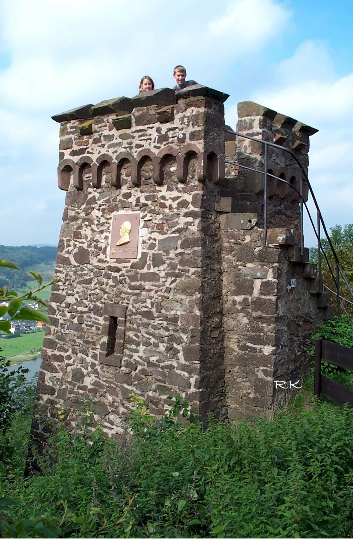
Bismarckturm SchodenViewpointBismarckturm Schoden is a historical landmark located at a distance of 66 km. While it doesn't offer any notable attractions, it adds a touch of historical significance to your gravel tour.
80 km
80 km
RömerstraßeViewpointRömerstraße, situated 80 km away from Ralingen, is an ancient Roman road that takes you back in time. Discover the remnants of the Roman civilization as you bike along this historic path.
82 km
82 km
WasserbilligerbrückSub-urbWasserbilligerbrück is a historic bridge present 82 km on the route. It offers stunning views of the Sauer River and its surroundings, making it a great spot for a short break.
90 km
90 km
BornVillageBorn, situated 90 km away from Ralingen, is a small village known for its quaint charm and traditional architecture. Take a moment to explore its narrow streets and immerse yourself in the local ambiance.
91 km
91 km
Galgenberg351 mPeak ViewpointGalgenberg is the final highlight of this gravel tour, located at a distance of 91 km. While it doesn't offer any specific attractions, it marks the completion of a challenging biking journey.
97 km
97 km
Finish: Ralingen Village centerRalingen: Cycling Amidst Beautiful Vineyards and Rivers
Cycling routes from Ralingen:
Exploring the Natural Beauty of Mettendorf Rosport and Beyond Challenging Ride through Luxembourg's Countryside Gravel Adventure: Exploring Rural Landscapes Scenic Gravel Cycling Route to Kordel and Sommersdorf Discovering Hidden Gem Routes near Ralingen Jockesbierg and Rosport Road Cycling Route Mullerthal Road Cycling Route to Ierelchen and Hüttingen bei Lahr From Ralingen to Trier and Rosport Challenging Gravel Tour through Pellingen and Ockfen
Cycling routes nearby: