The Road Challenge
A road cycling route starting from Schonecken
Embark on this road cycling adventure and conquer challenging climbs near Schönecken.
Map

This road cycling route near Schönecken offers a mix of scenic landscape and challenging climbs. Road cyclists with good fitness levels and skill will enjoy the variety of ascents and descents. With picturesque villages and panoramic views along the way, this route promises an adventure for experienced road cyclists.
road
71 km
1266 m
Tough
Route profile
Highlights on the route
0 km
0 km
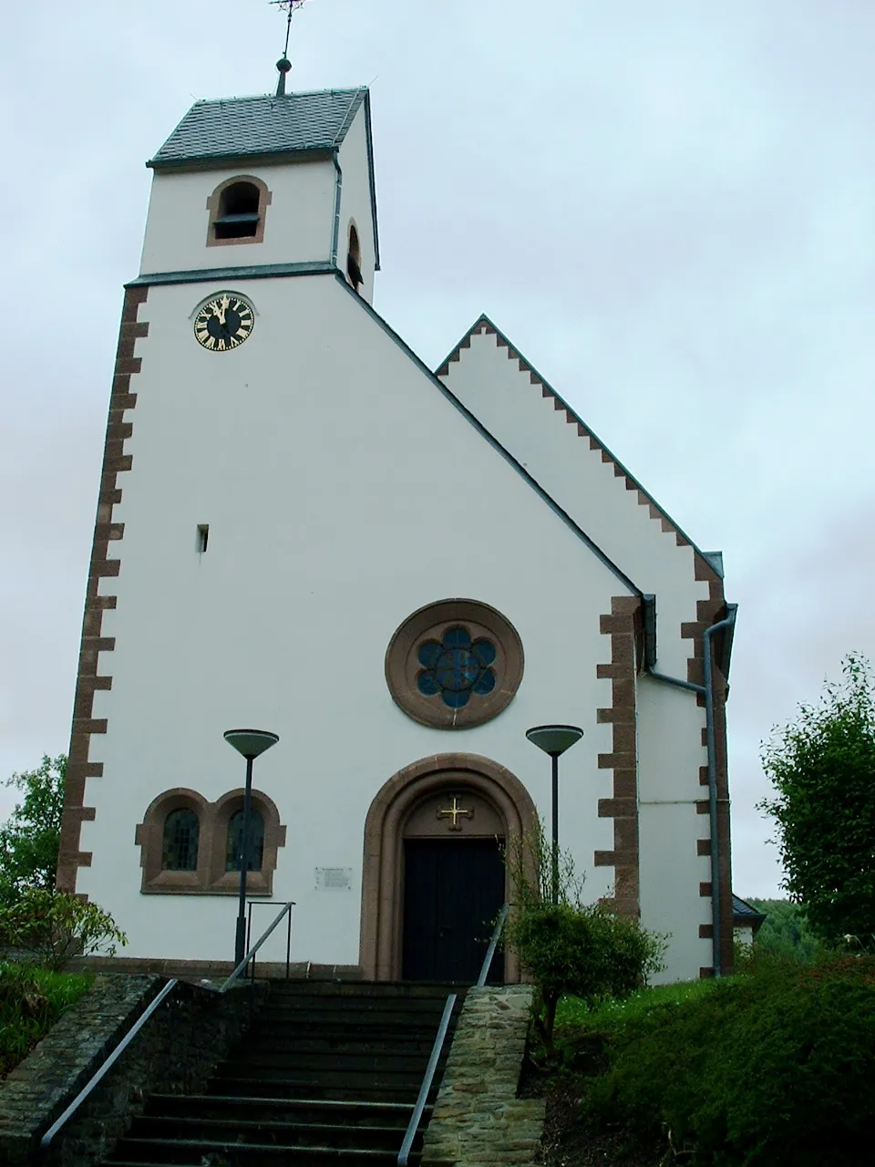
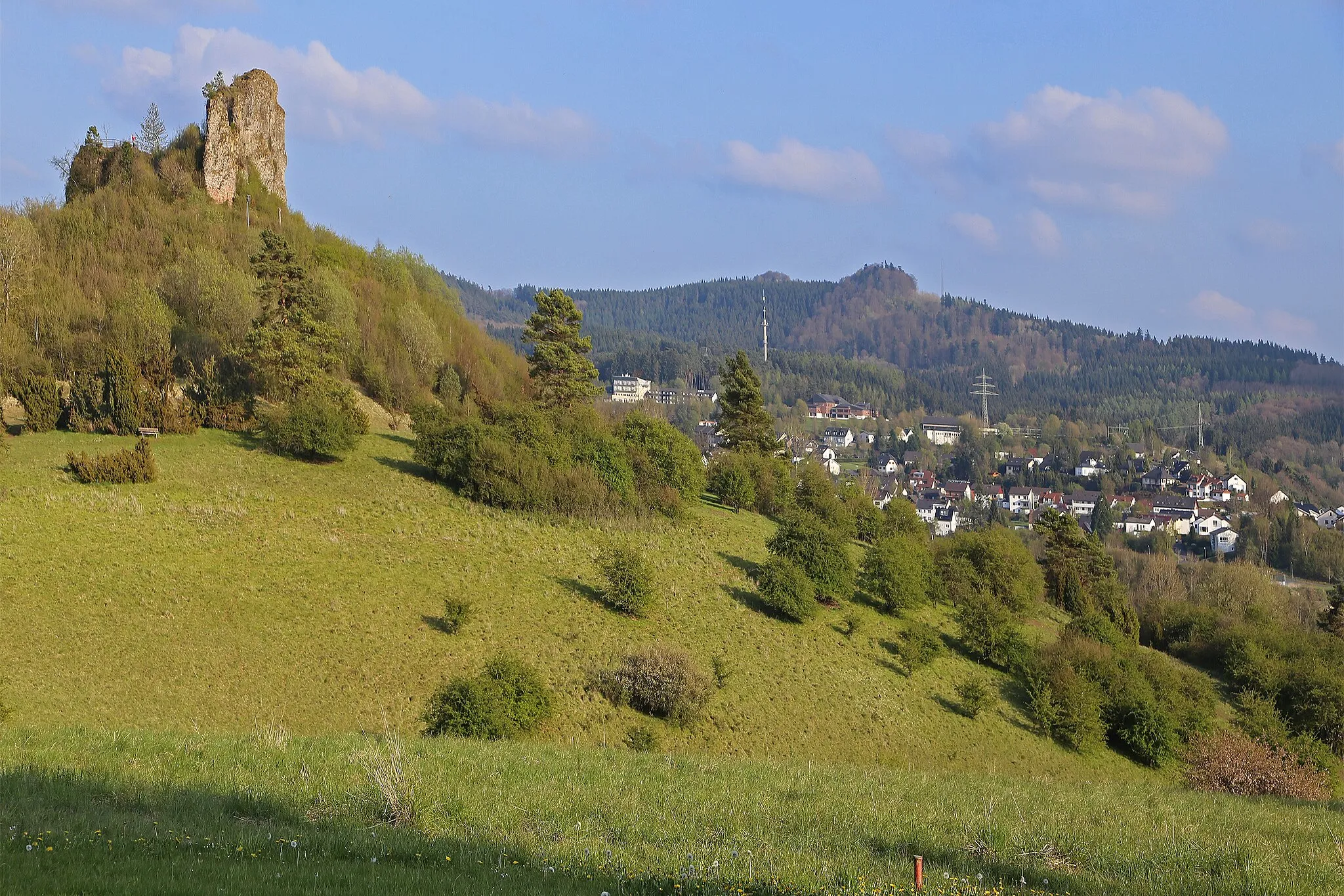
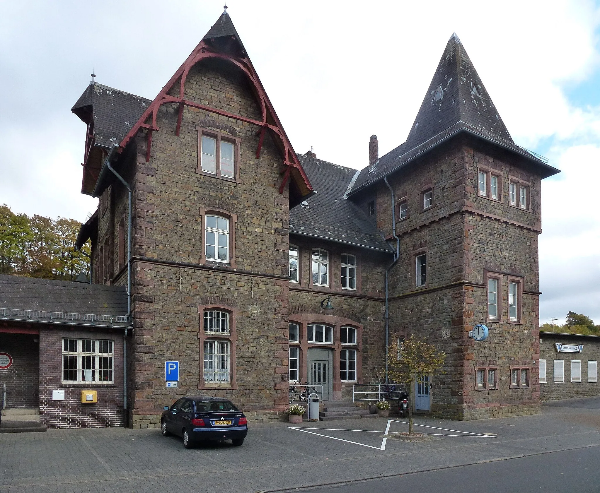
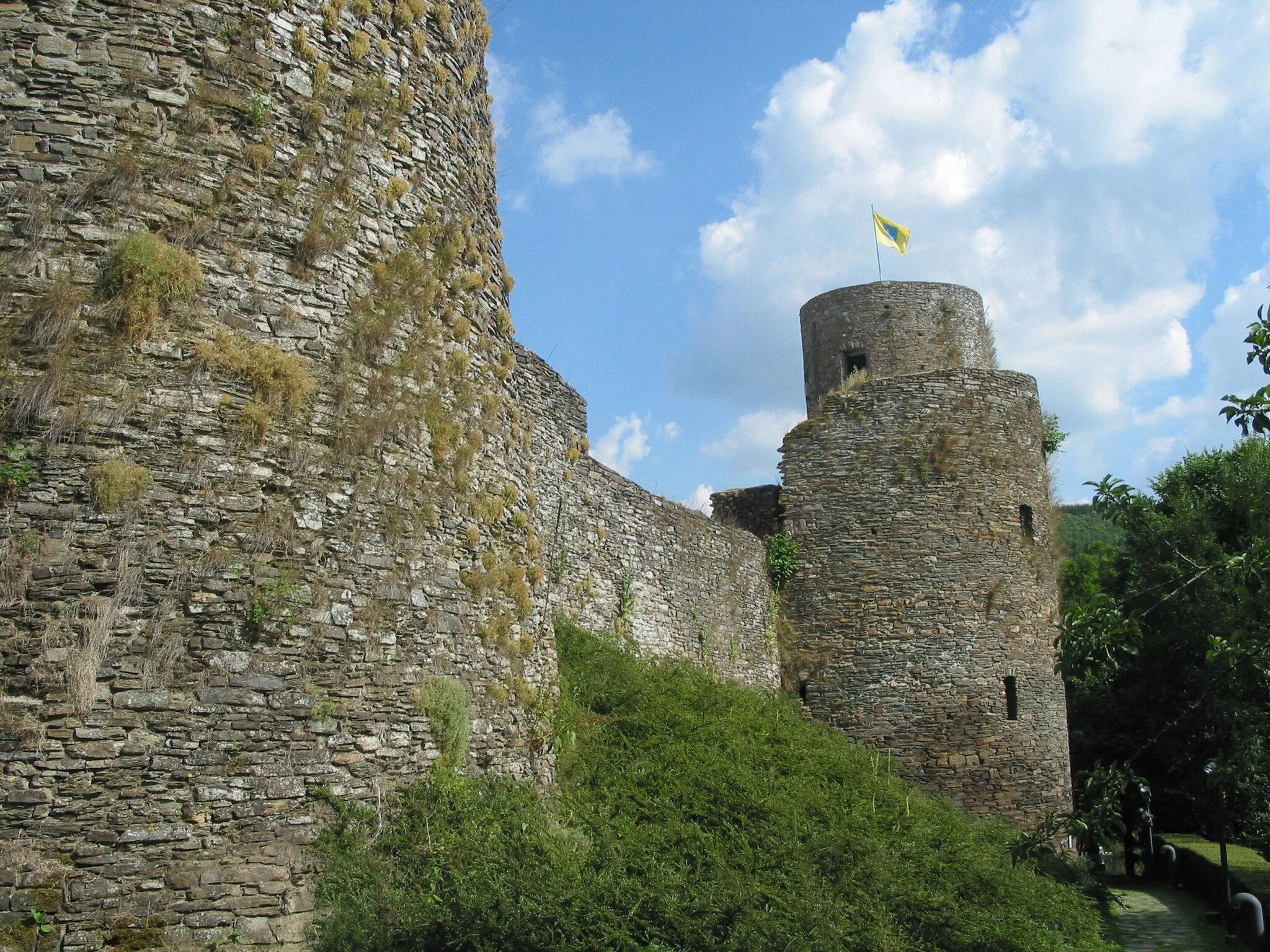
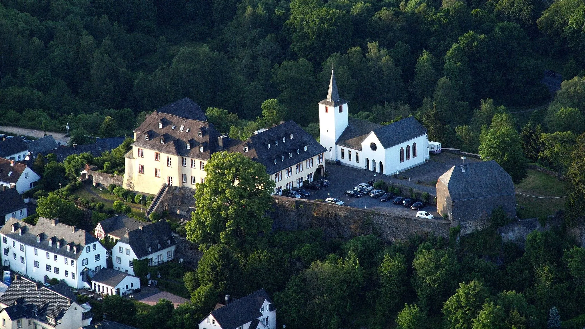
Start: Schönecken Village centerSchönecken: Exploring the stunning Eifel landscape and conquering the famous climb of Mäuseberg in Schönecken
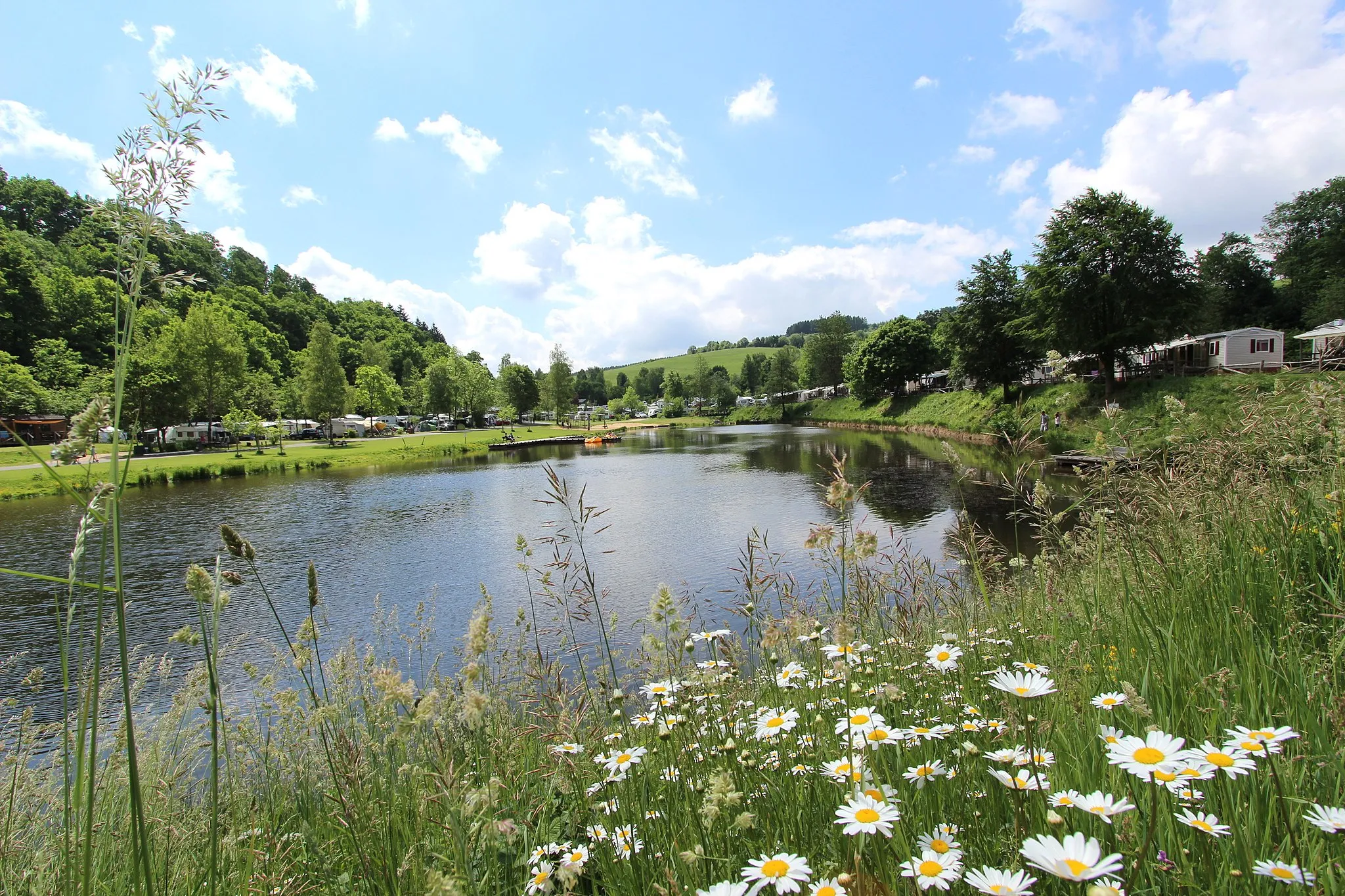
Schönecken is a town in Trier, Germany, situated in the picturesque Eifel region. As a road and gravel cyclist, you can explore the stunning landscape of the Eifel, characterized by its rolling hills, dense forests, and picturesque villages. The roads in the area offer great cycling conditions, with minimal traffic and well-maintained surfaces. Nearby, you can find the famous climb of Mäuseberg, a challenging ascent that rewards you with breathtaking panoramic views of the surrounding countryside. Schönecken is a paradise for cyclists who seek both natural beauty and challenging routes.7 km
7 km
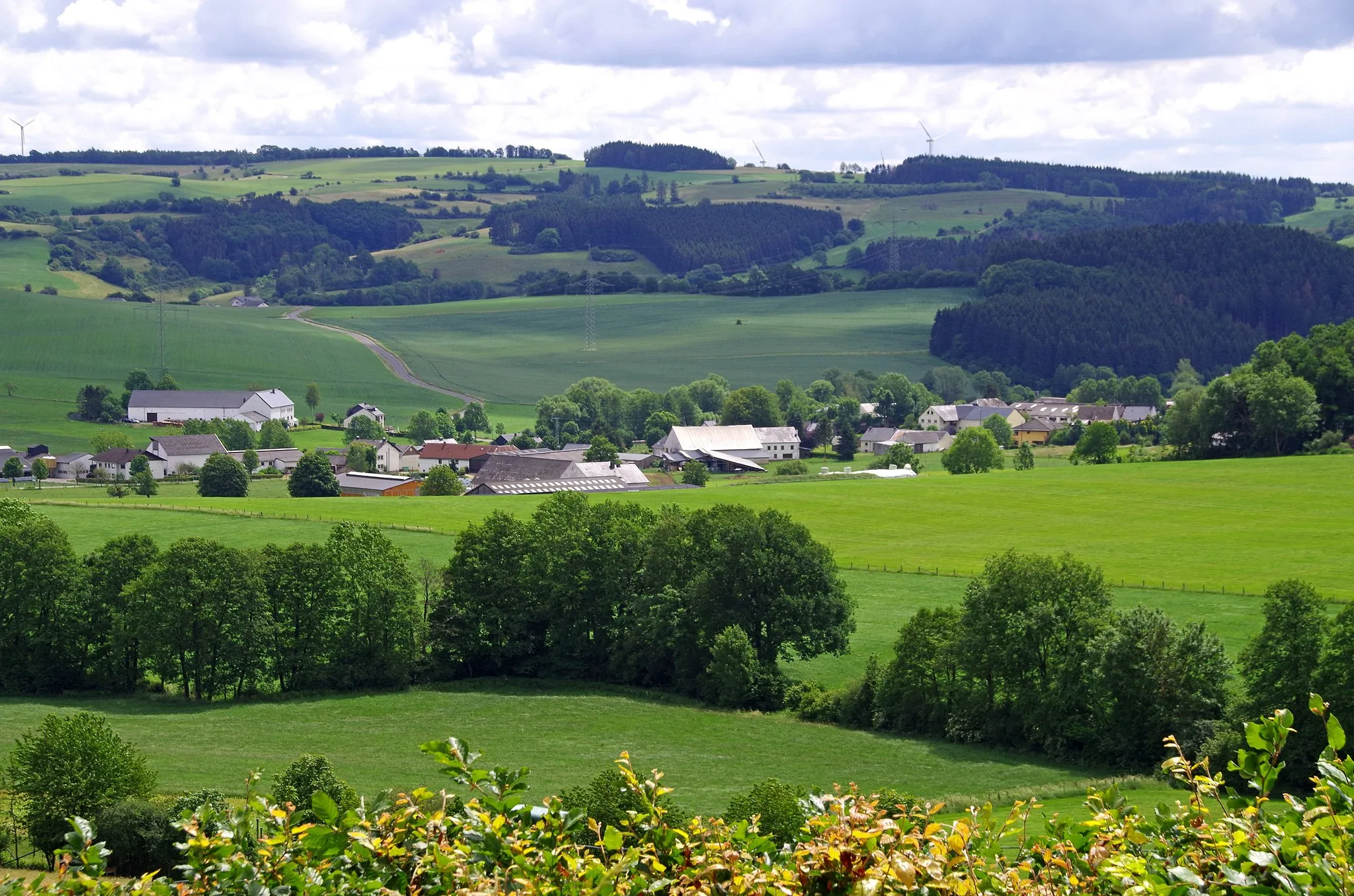
Faulenberg432 mPeakFaulenberg, located 7 km into the route, rewards cyclists with stunning aerial views of the expansive valleys nearby.
15 km
15 km
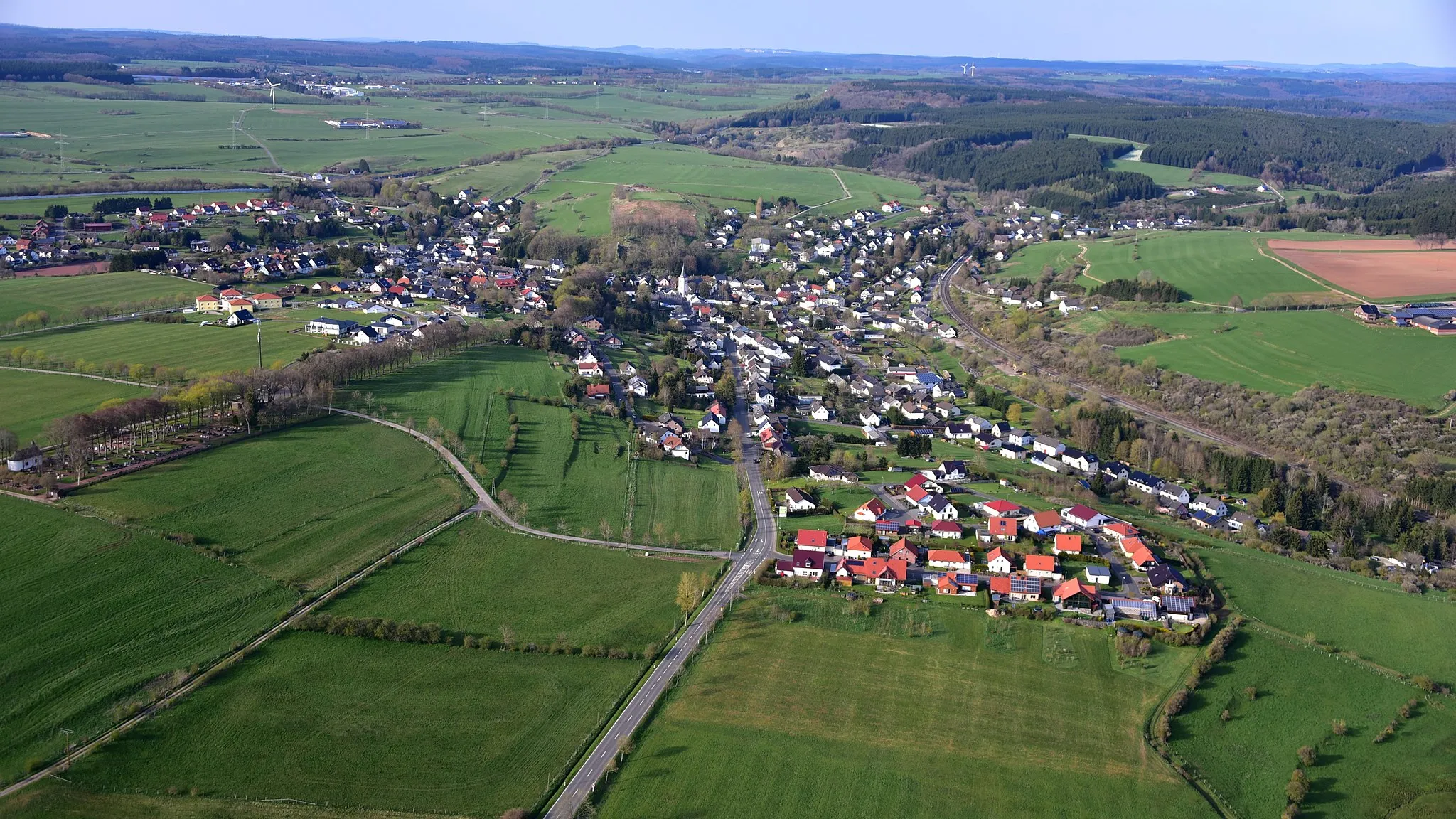
HeilenbachVillageHeilenbach, situated 15 km on the route, offers a fine opportunity to replenish your energy at a local pub with traditional cuisine.
31 km
31 km
BaustertVillageBaustert, at a distance of 31 km, is known for its charming stone houses and a family-owned winery that offers tastings.
49 km
49 km
KrautscheidVillageKrautscheid, situated 49 km into the route, is a small village with a remarkable stone bridge and a famous local bakery.
69 km
69 km
DingdorfVillageDingdorf, which you will pass after 69 km on the route, stands out with its quaint chapel and well-preserved half-timbered houses.
71 km
71 km
Finish: Schönecken Village centerSchönecken: Exploring the stunning Eifel landscape and conquering the famous climb of Mäuseberg in Schönecken
Cycling routes from Schonecken:
Cycling routes nearby: