The Saarburg Loop
A road cycling route starting from Serrig
Explore the beauty of Saar River and its surroundings in this scenic cycling loop.
Map
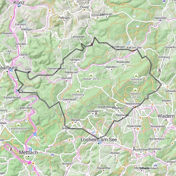
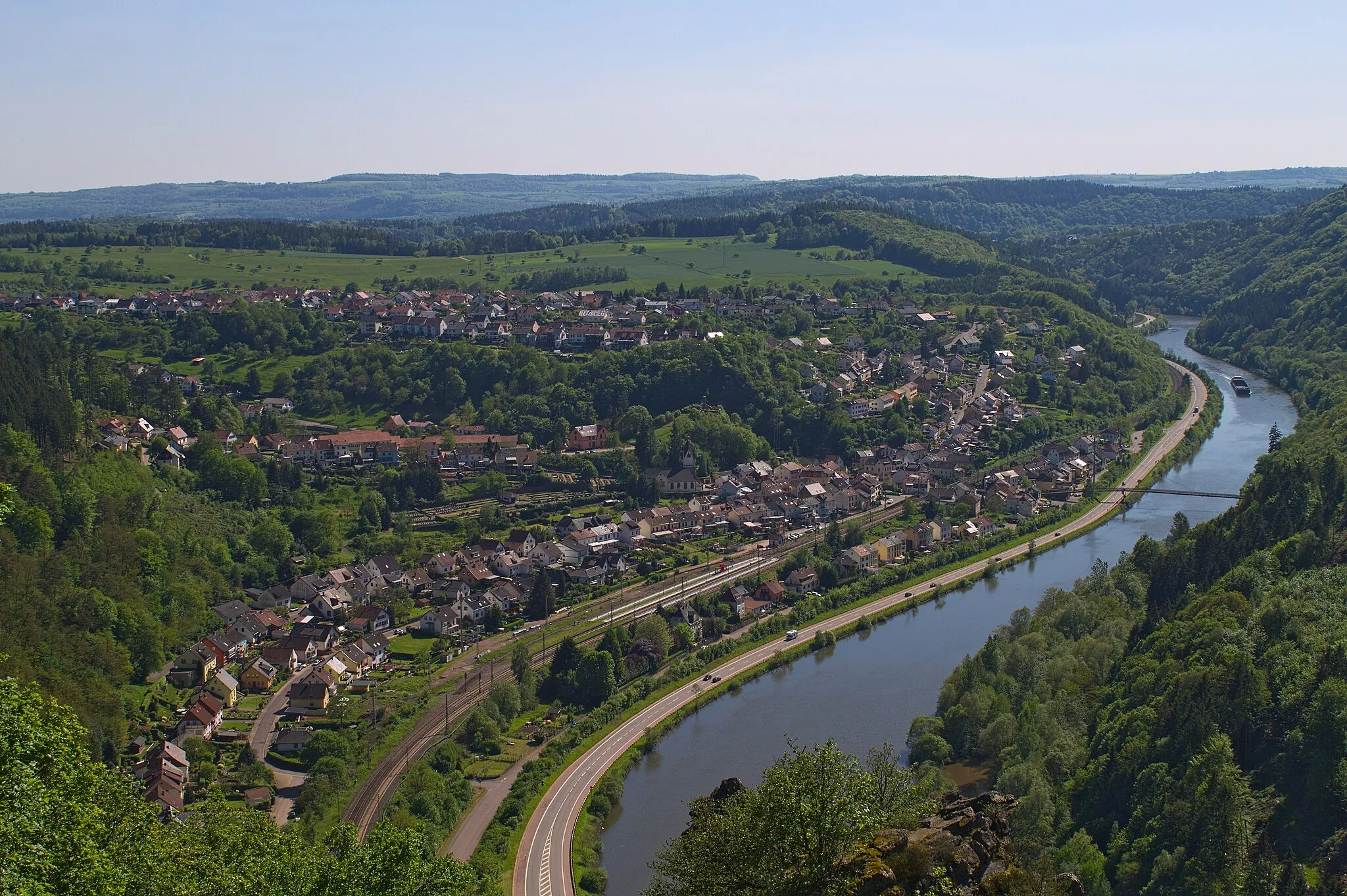
The Saarburg Loop takes you on a 73 km journey through the picturesque landscapes near Serrig. With a total ascent of 1428 m, this road cycling route offers a moderate challenge for well-trained amateurs. The route showcases the stunning natural beauty of the region along with some historical landmarks. Enjoy breathtaking views, charming villages, and serene riverside roads along the way.
road
73 km
1428 m
Tough
Route profile
Highlights on the route
0 km
0 km
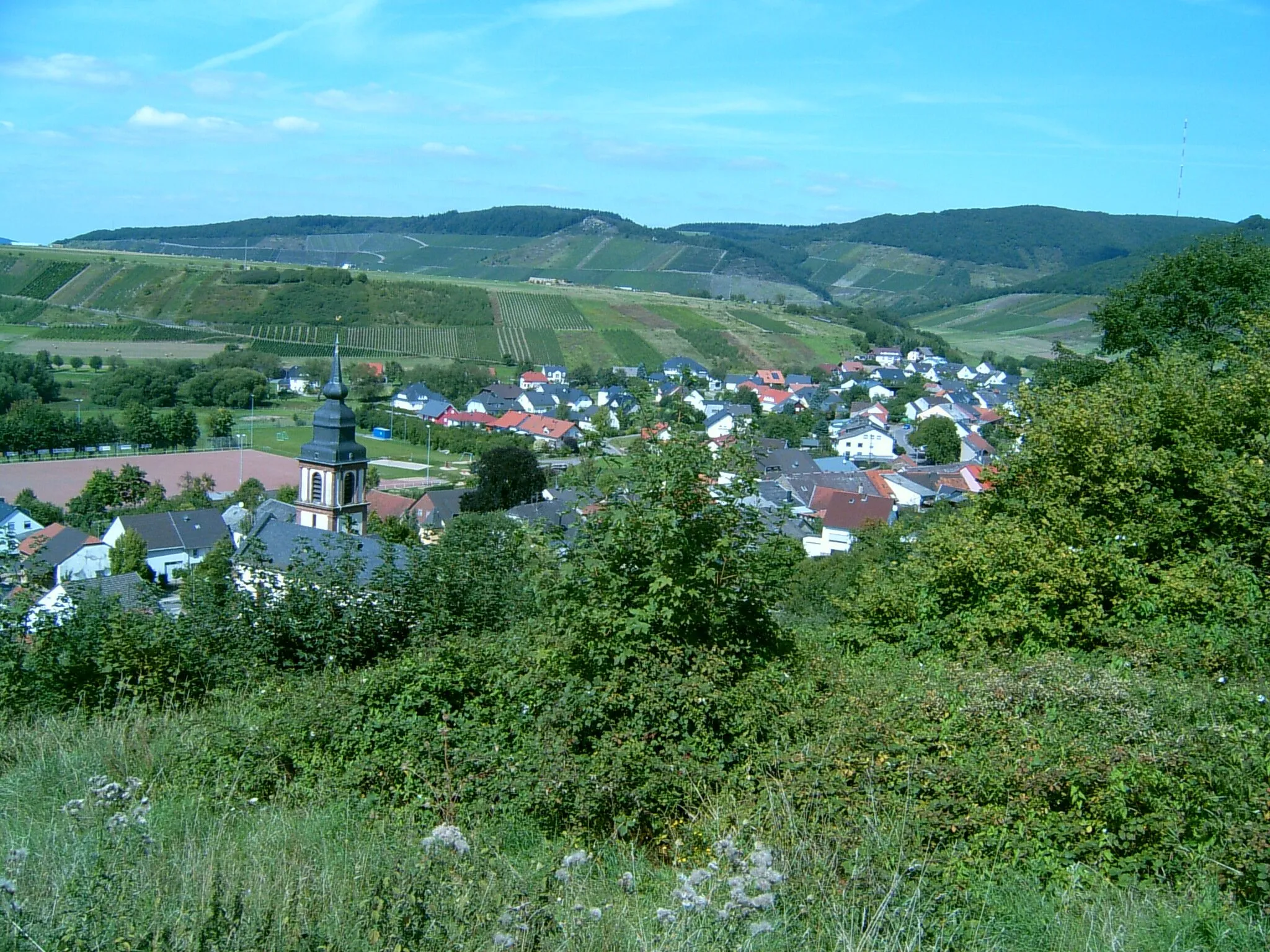
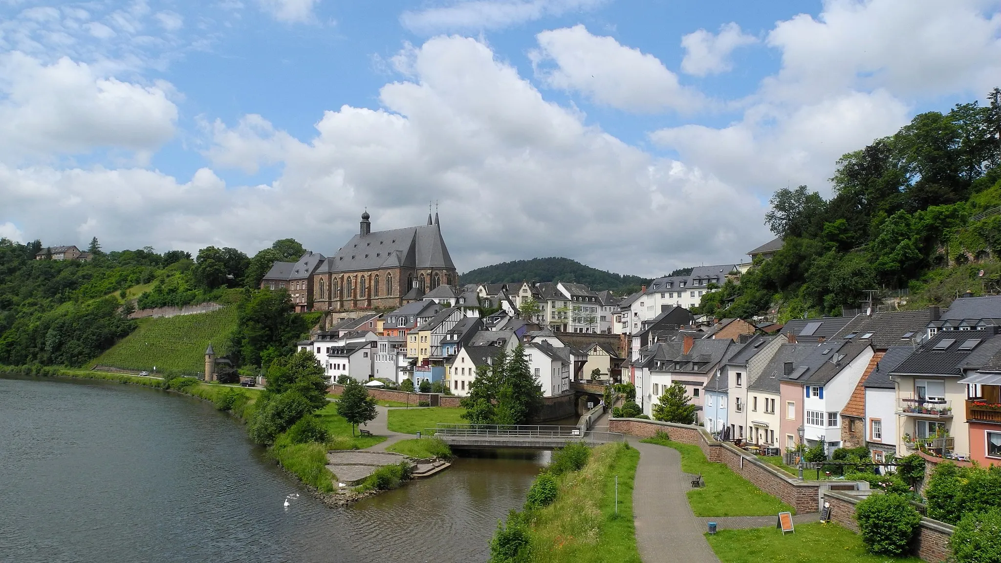
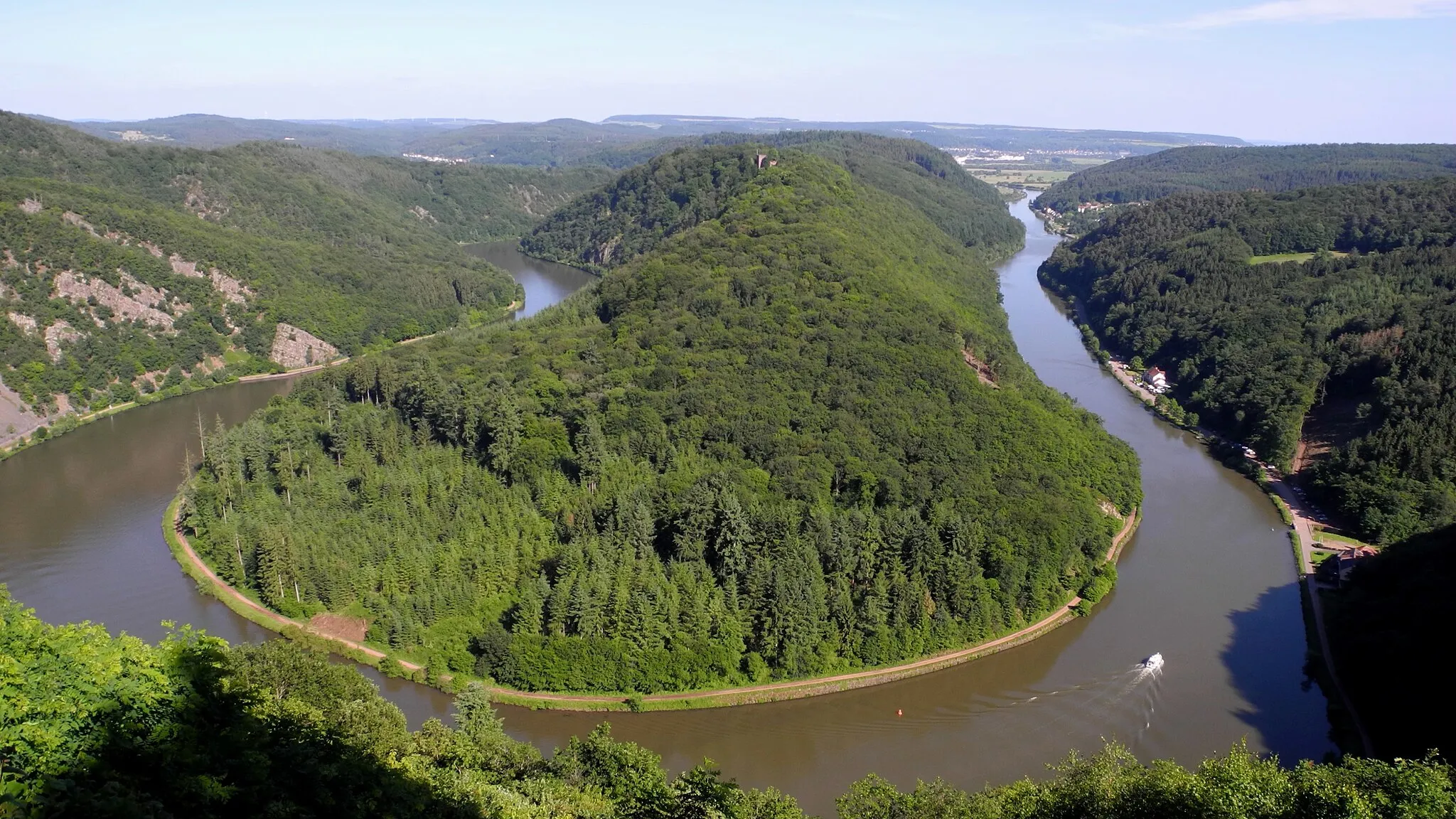
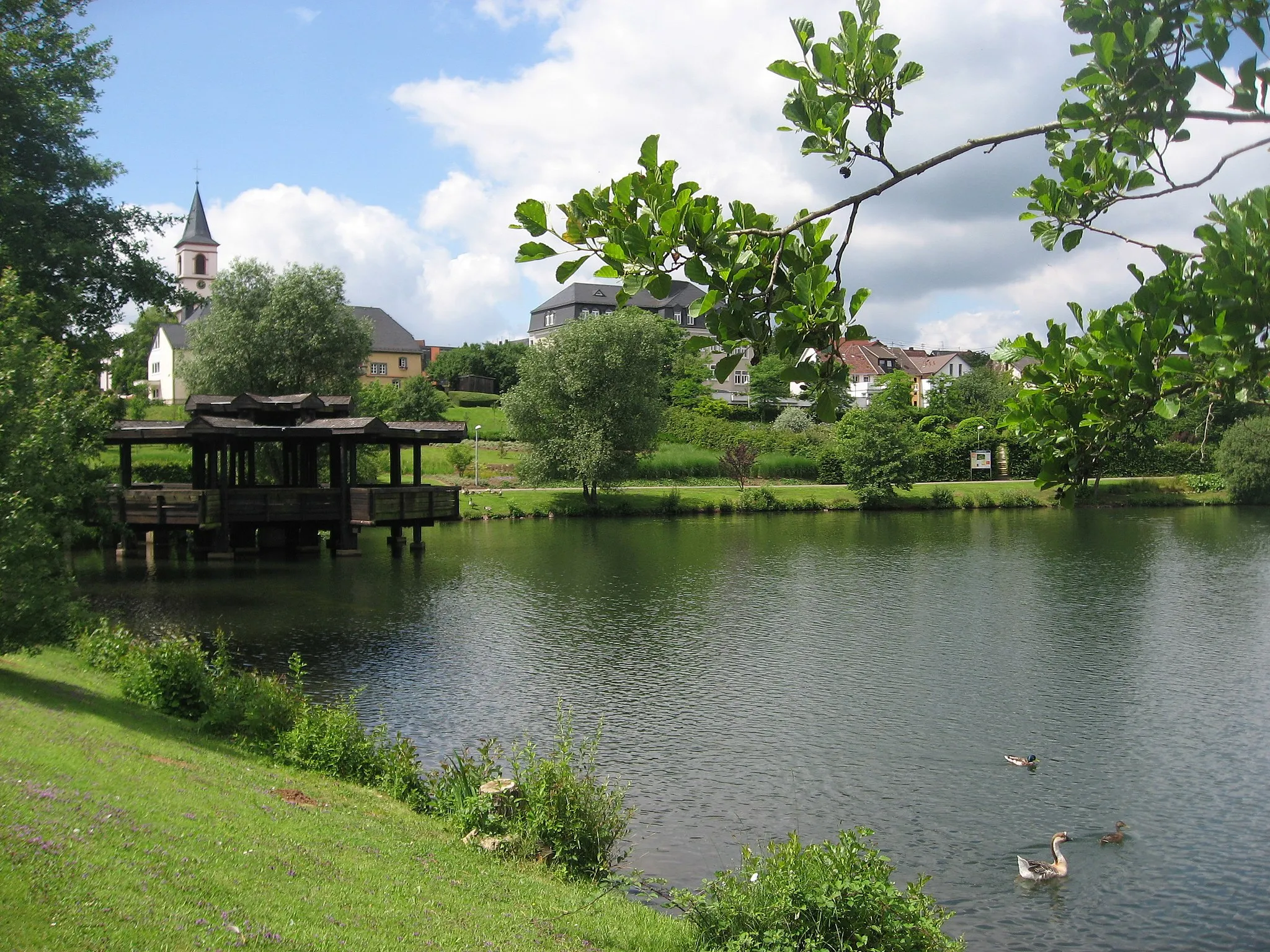
Start: Serrig Village centerSerrig: Scenic cycling along the Mosel River
Serrig is a charming locality in the Trier region of Germany. As a cyclist, Serrig offers a mix of flat and hilly terrain, making it suitable for riders of all levels. The Mosel River flows through the town, providing picturesque views and scenic cycling routes. One notable cycling spot nearby is the Saar-Hunsrück-Steig, a long-distance hiking trail that also caters to cyclists. Overall, Serrig is a great cycling destination with its beautiful landscapes and variety of routes to explore.13 km
13 km
VierherrenbornVillageStop at Vierherrenborn, a small village with a rich history. Explore its pretty churches and historic sites.
17 km
17 km
Gipfelkopp460 mPeakAdmire the panoramic view from Gipfelkopp, a viewpoint offering stunning vistas of the surrounding landscapes.
32 km
32 km
Kell am SeeVillageVisit Kell am See, a charming town known for its picturesque lake and beautiful hiking trails.
38 km
38 km
Springkopf523 mPeakHead to Springkopf, a hilltop viewpoint that offers breathtaking views of the rolling hills and valleys below.
47 km
47 km
WeiskirchenVillageDiscover Weiskirchen, a quaint town famous for its healing mineral springs and picturesque parks.
63 km
63 km
Judenkopf517 mPeakClimb to the summit of Judenkopf, a mountain offering panoramic views of the Saar Valley and the surrounding forests.
73 km
73 km
Klause KastelAttractionVisit Klause Kastel, a medieval castle ruin perched high above the landscape, offering an enchanting atmosphere and stunning views.
73 km
73 km
ElisensitzViewpointStop by Elisensitz, a picturesque spot where you can enjoy a serene break surrounded by nature.
73 km
73 km
Finish: Serrig Village centerSerrig: Scenic cycling along the Mosel River
Cycling routes nearby: