The Moselle Loop
A road cycling route starting from Tawern
A scenic journey along the Moselle River
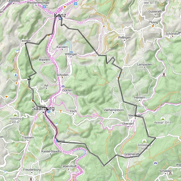
Map
Embark on a picturesque ride along the Moselle River, passing through charming towns and vineyards. This route offers stunning views of the river and surrounding hillsides. Stop by Konz, Scharnagel, Dreikopf, Baldringen, Greimerath, Schöne Aussicht, Kruterberg, and Tawern to experience the rich cultural and natural heritage of the region. With a moderate difficulty level and an epicness score of 3, this route is perfect for intermediate cyclists looking for a leisurely ride through Germany's wine country.
road
57 km
1122 m
Tough
Route profile
Highlights on the route
0 km
0 km
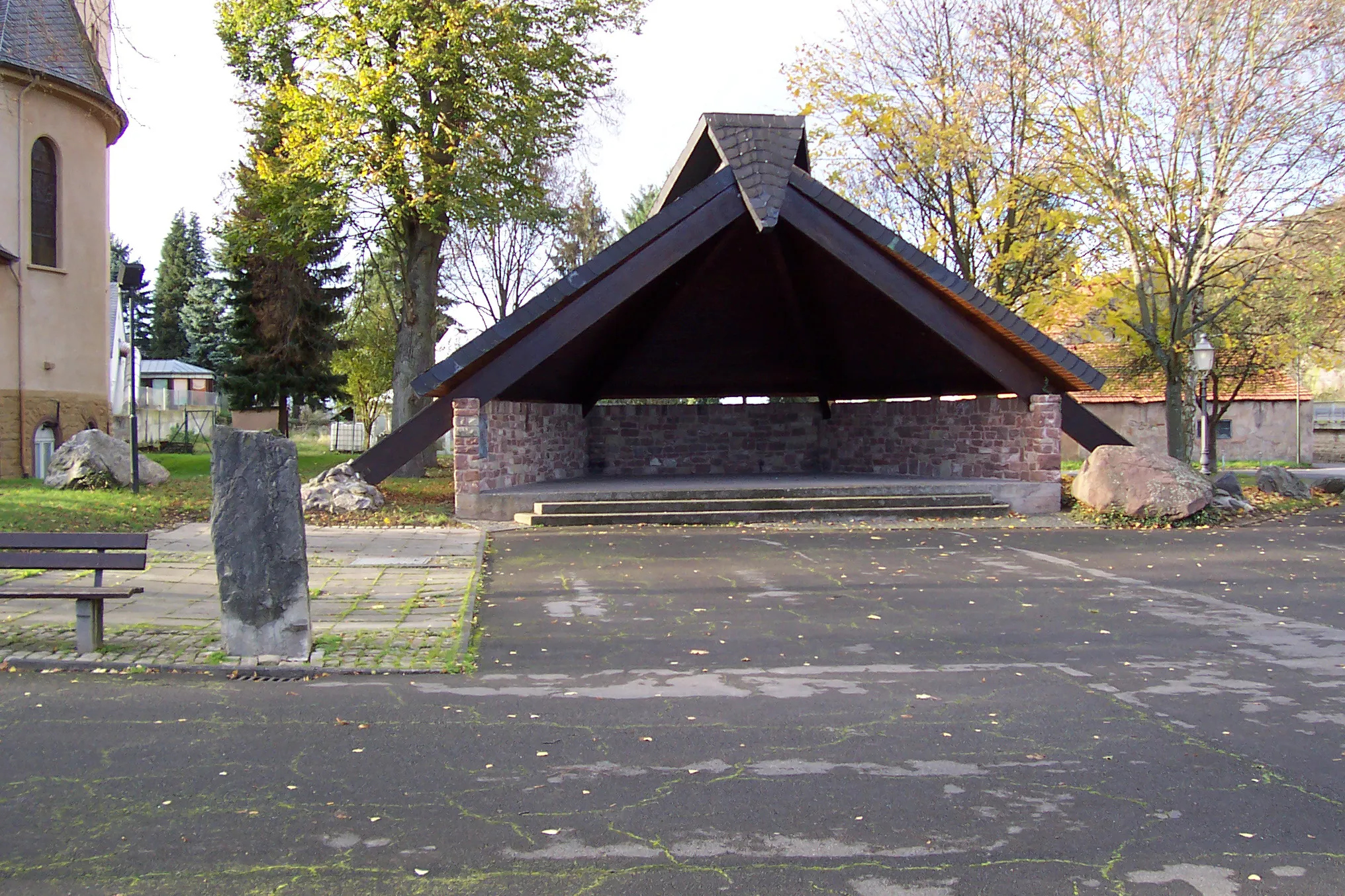
Start: Tawern Village centerTawern: Cycling Paradise in Trier
Tawern is a small locality located in the Trier region of Germany. From a cyclist's standpoint, Tawern offers great cycling opportunities with stunning landscapes and well-maintained roads. The area is known for its vineyards, making it a picturesque destination for cycling through scenic wine-growing regions. One notable cycling climb near Tawern is the Moselhöhenweg, a road that takes cyclists along the Moselle River and offers breathtaking views. With its beautiful scenery and cycling-friendly atmosphere, Tawern is a perfect destination for both road and gravel cyclists.6 km
6 km
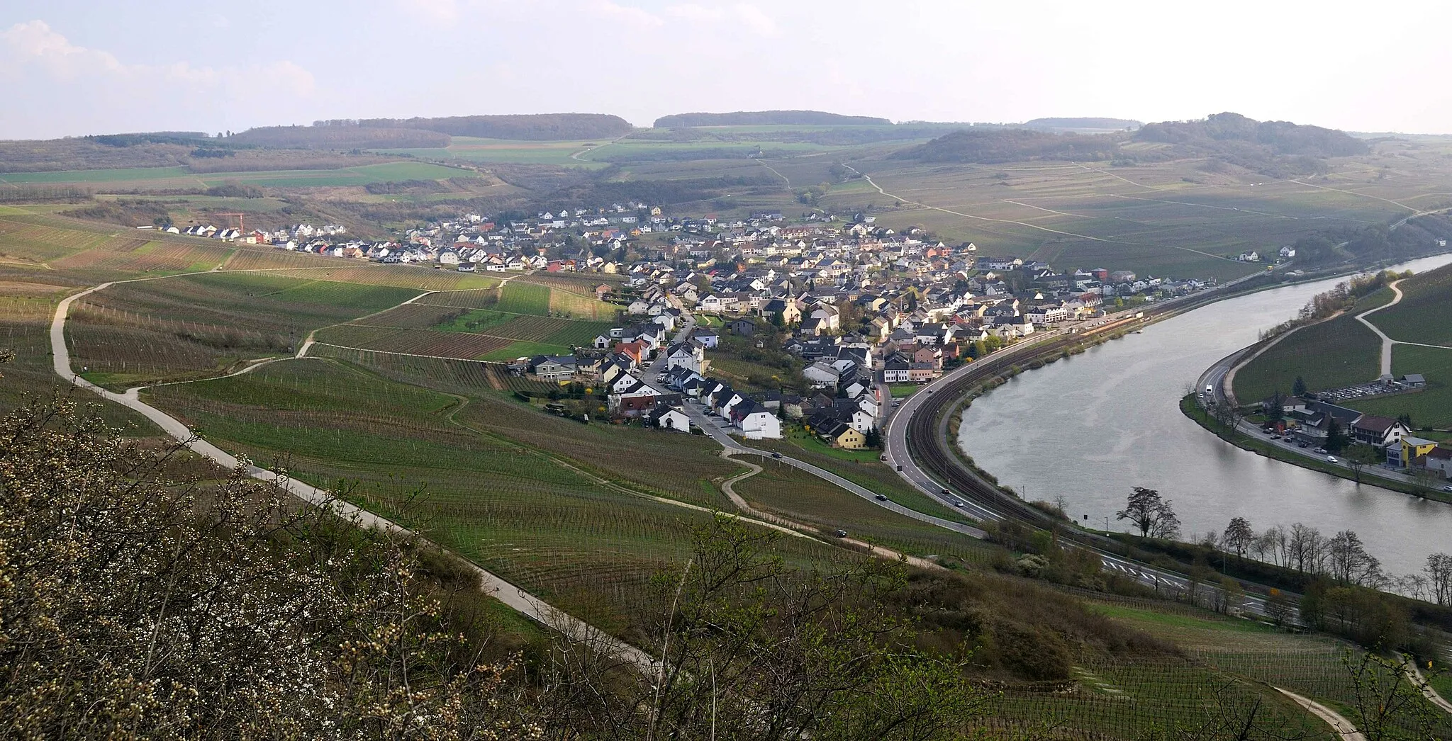
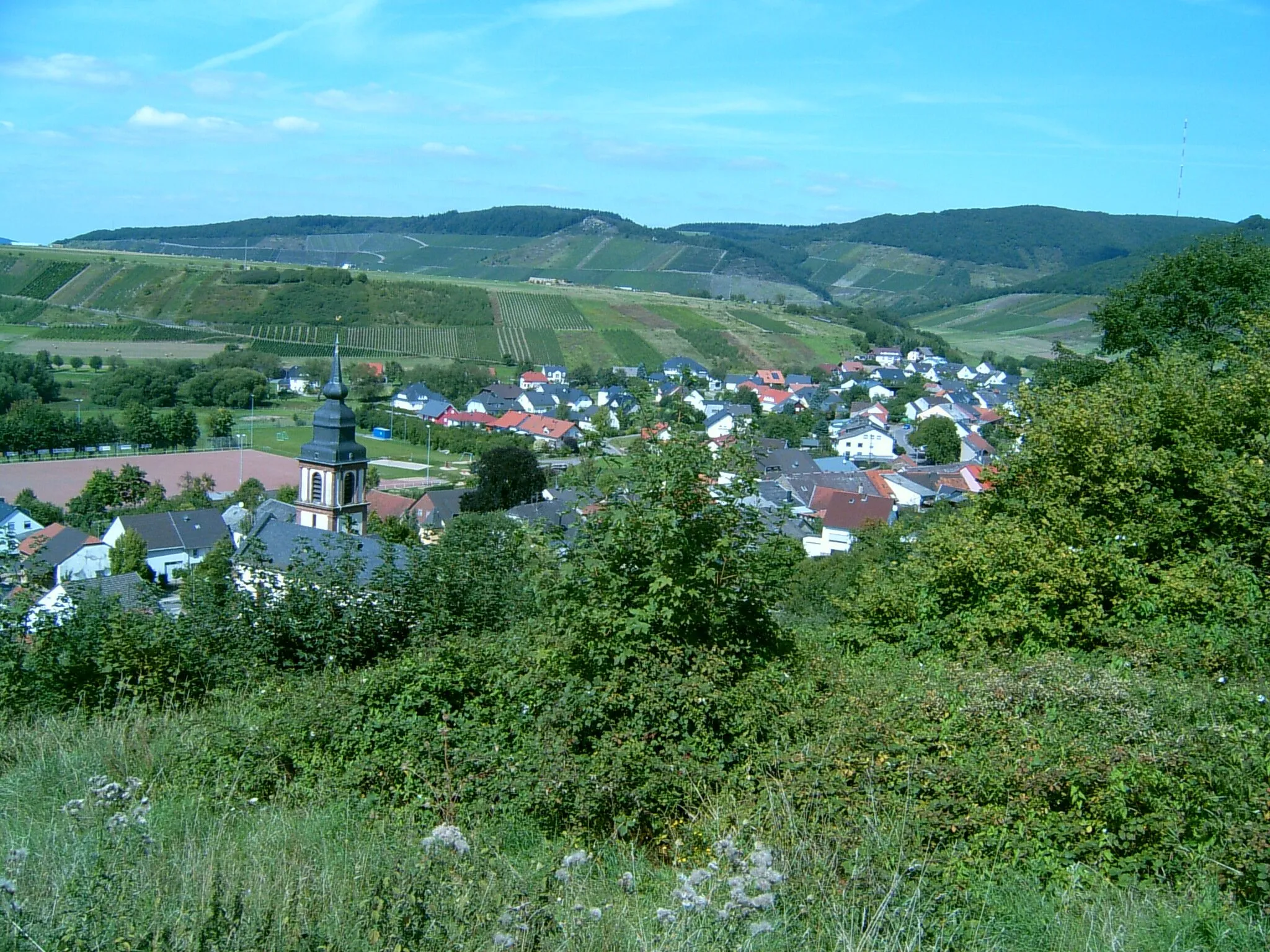
KonzTownLocated in Konz, this highlight offers a delightful view of the Moselle River and the city of Trier in the distance.
8 km
8 km
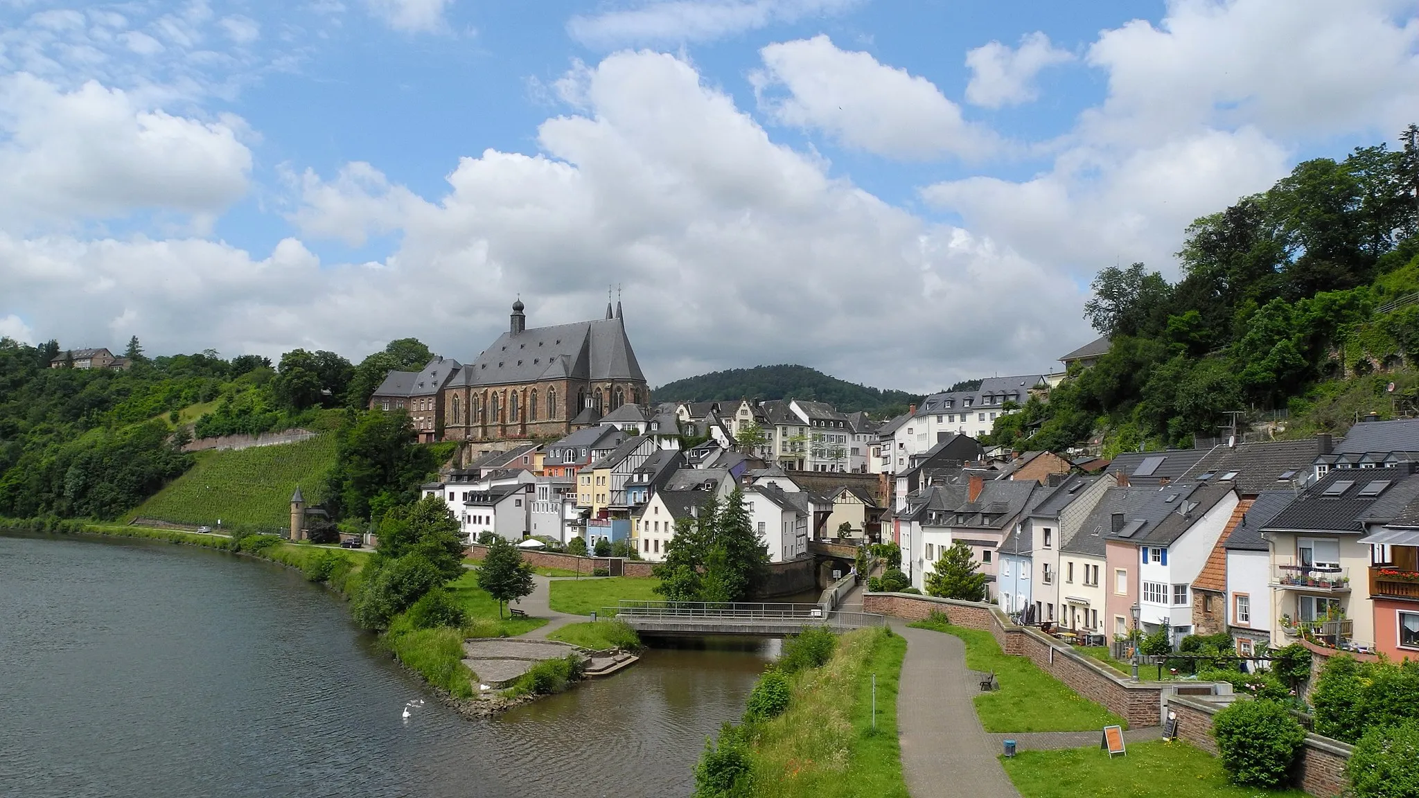
Scharnagel287 mPeakScharnagel is a small village known for its half-timbered houses, narrow streets, and idyllic atmosphere.
18 km
18 km
Dreikopf501 mPeakDreikopf is a hill overlooking the Moselle Valley, providing panoramic views of the surrounding vineyards and villages.
23 km
23 km
BaldringenVillageBaldringen, a charming village, is the perfect spot to take a break and explore its historical buildings.
32 km
32 km
GreimerathVillageGreimerath is home to a medieval castle ruin, offering great photo opportunities and a sense of history.
39 km
39 km
Schöne AussichtViewpointSchöne Aussicht, meaning 'beautiful view' in German, lives up to its name with breathtaking vistas of the Moselle River landscape.
46 km
46 km
Kruterberg285 mPeak ViewpointKruterberg is a quaint village with a mix of traditional architecture and modern amenities, perfect for a relaxing stop.
57 km
57 km
TawernVillageTawern, the starting point of this route, is a charming town situated on the banks of the Moselle River, known for its wine production and natural beauty.
57 km
57 km
Finish: Tawern Village centerTawern: Cycling Paradise in Trier
Cycling routes nearby: