Waldrach Explorer
A road cycling route starting from Waldrach
Through the picturesque countryside near Waldrach
Map

Discover the idyllic landscapes and charming villages around Waldrach as you cycle through this route. With its diverse highlights and scenic beauty, this cycling route offers a perfect combination of adventure and relaxation.
road
99 km
1880 m
Tough
Route profile
Highlights on the route
0 km
0 km
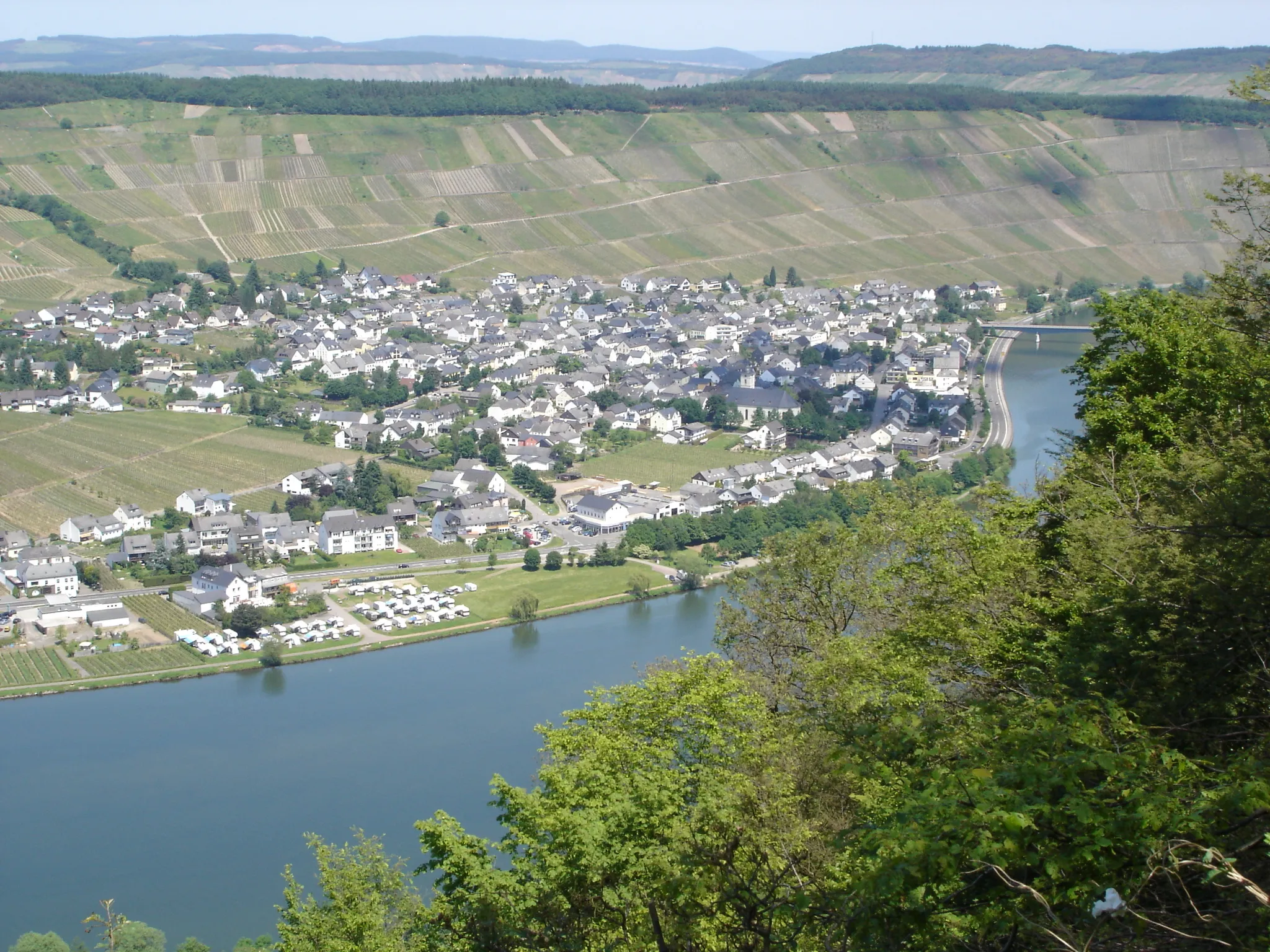
Start: Waldrach Village centerWaldrach: Cycling amidst vineyards in Waldrach, Germany
Waldrach, situated in the Trier region of Germany, offers a unique cycling experience. The locality is surrounded by vineyards and lush green landscapes, providing a scenic backdrop for cyclists. Road cyclists can enjoy the winding and challenging routes, while gravel cyclists can explore the nearby forest trails. Waldrach is close to the famous Ruwer-Hochwald-Radweg, a cycling route known for its picturesque views. With its charming atmosphere and diverse cycling options, Waldrach is a great destination for both road and gravel cyclists.5 km
5 km
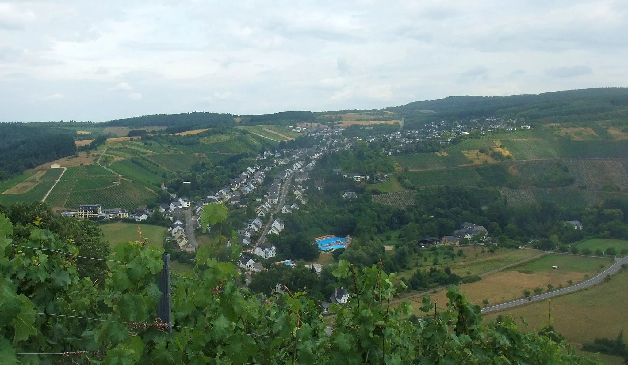
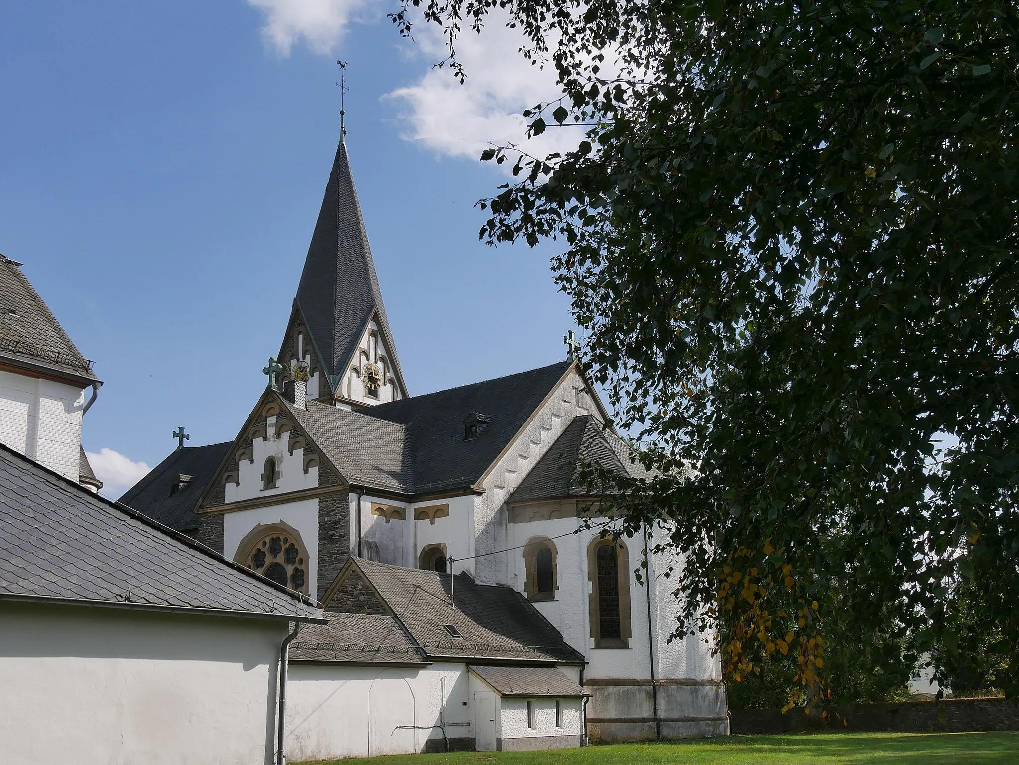
FellVillageFell is a beautiful village situated at the foot of the Eifel mountains. Explore the historic center and enjoy the stunning views of the surrounding landscape.
6 km
6 km
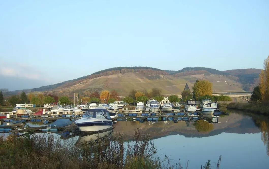
Hahnenberg408 mPeakHahnenberg is a popular vantage point offering panoramic views of the Moselle River and the rolling hills. Take a moment to soak in the breathtaking vistas.
17 km
17 km
Naturdenkmal KugelbaumViewpointThe Naturdenkmal Kugelbaum is a unique natural monument, featuring a perfectly round tree. Marvel at this curious sight and learn about its significance in the local ecosystem.
28 km
28 km
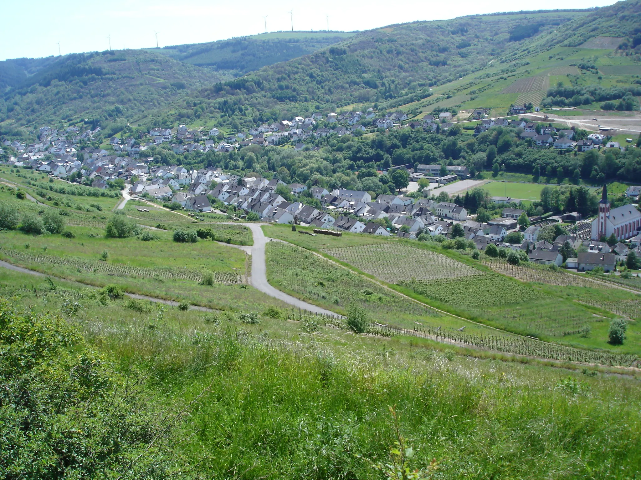
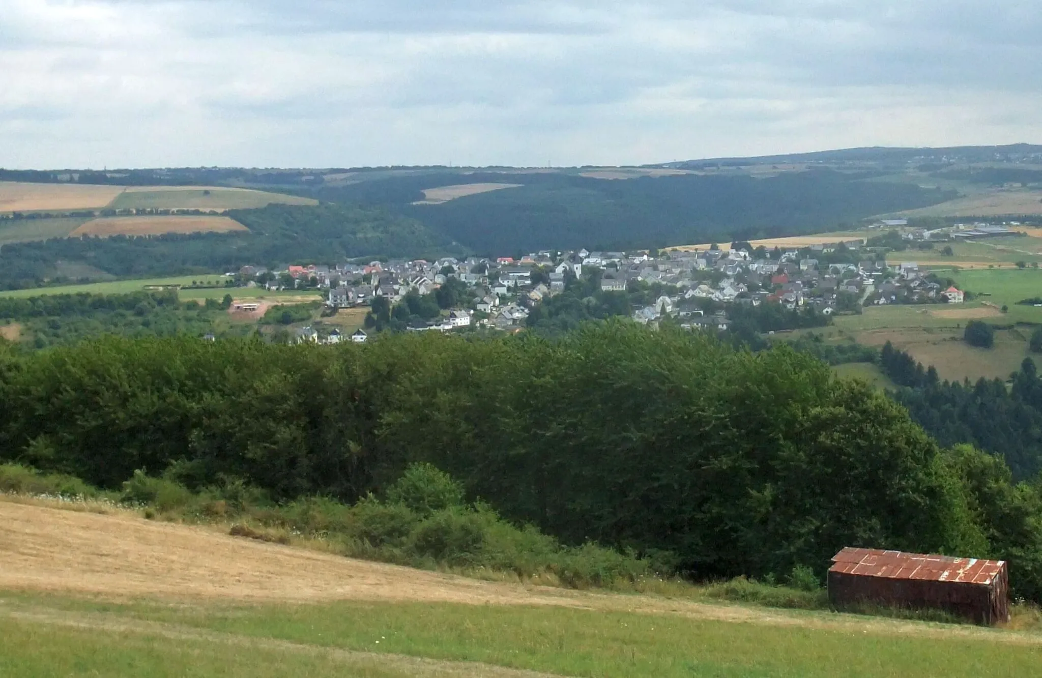
HilscheidVillageHilscheid is a charming village known for its traditional half-timbered houses and quaint atmosphere. Take a break and explore the historic streets lined with colorful facades.
37 km
37 km
Ruppelstein762 mPeakRuppelstein is a picturesque castle ruin surrounded by lush greenery. Admire the medieval architecture and imagine the storied past of this enchanting monument.
52 km
52 km
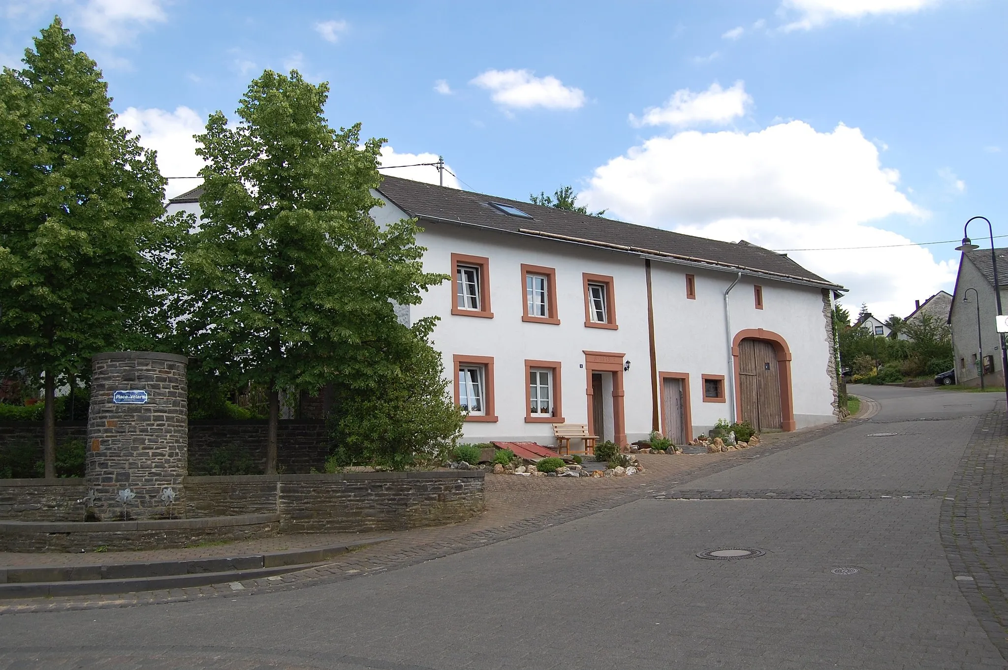
EllweilerVillageEllweiler is a small village nestled in the hills, offering peaceful surroundings and a relaxing atmosphere. Pause your journey and enjoy the tranquility of this hidden gem.
63 km
63 km
Mannenberg466 mPeakMannenberg is a hilltop village with panoramic views of the surrounding valley. Enjoy the scenic beauty and capture memorable photos from this elevated vantage point.
72 km
72 km
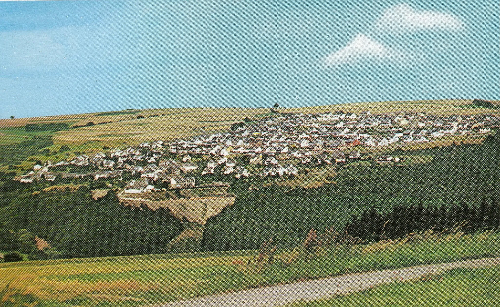
NonnweilerVillageNonnweiler is a quaint village with historic charm. Explore the cobbled streets, visit the local church, and experience the authentic atmosphere of this hidden treasure.
88 km
88 km
Hohe Wurzel669 mPeakHohe Wurzel is a hill offering panoramic views of the surrounding landscape. While the ascent may be challenging, the breathtaking vistas make it worthwhile for nature enthusiasts.
90 km
90 km
FarschweilerVillageFarschweiler is a small village known for its vineyards and winemaking tradition. Sample the local wines and appreciate the hard work that goes into producing this regional specialty.
97 km
97 km
MorscheidVillageMorscheid is a quiet village with charming houses and a tranquil atmosphere. While not particularly notable, it offers a peaceful stop for those seeking relaxation.
99 km
99 km
Naumeter KuppViewpointNaumeter Kupp is an unremarkable hill with no significant features or attractions. It serves as a brief segment along the route without much interest.
99 km
99 km
Finish: Waldrach Village centerWaldrach: Cycling amidst vineyards in Waldrach, Germany
Cycling routes nearby: