Gravel Loop through Lindele and Ringschnait
A gravel cycling route starting from Ingoldingen
Get off the beaten path and explore the charming villages of Lindele and Ringschnait on this scenic gravel loop near Ingoldingen.
Map
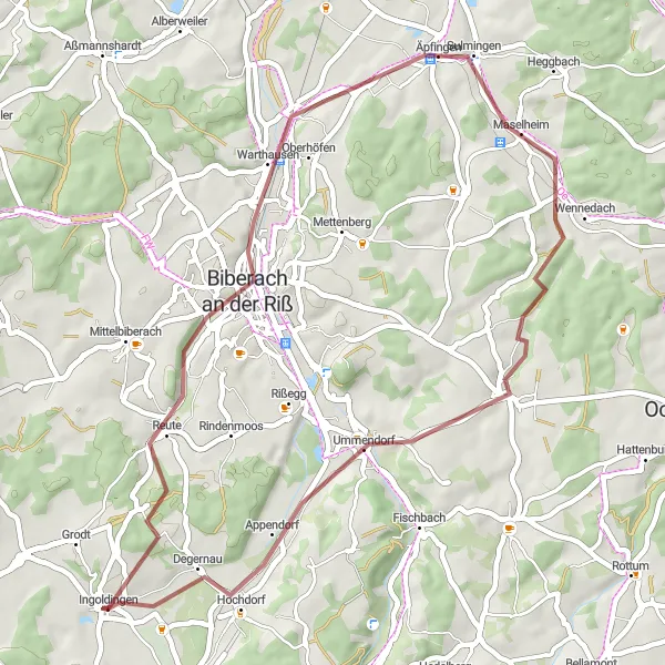
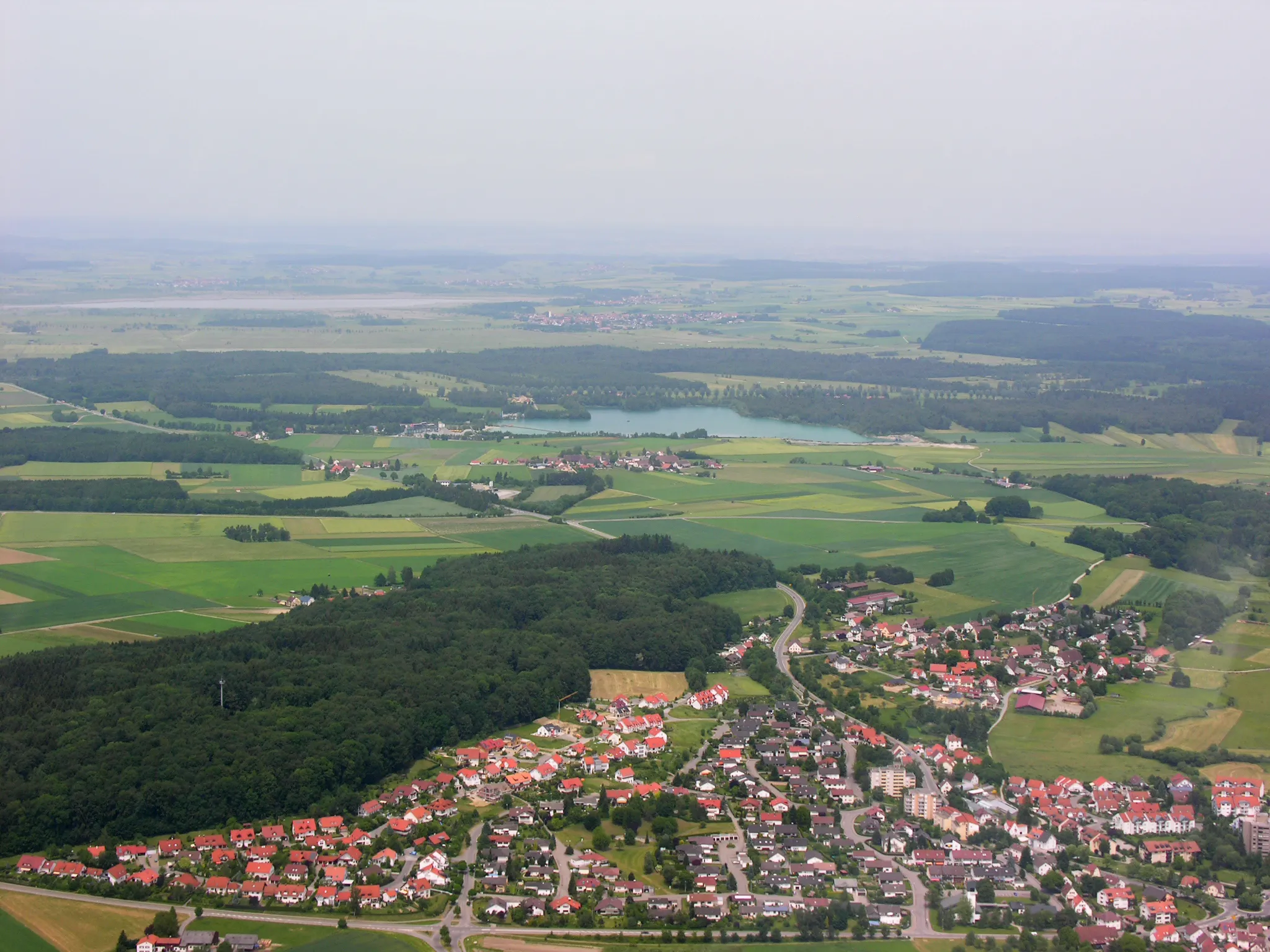
This gravel route offers a perfect blend of scenic beauty and cultural exploration. You'll have the opportunity to ride through quaint villages like Lindele, known for its half-timbered houses and traditional charm. Ringschnait, another highlight of the route, boasts breathtaking views of the surrounding countryside. With a total ascent of 392 meters and a distance of 46 kilometers, this route is suitable for intermediate gravel cyclists looking for an enjoyable and engaging ride.
gravel
46 km
392 m
Chill
Route profile
Highlights on the route
0 km
0 km
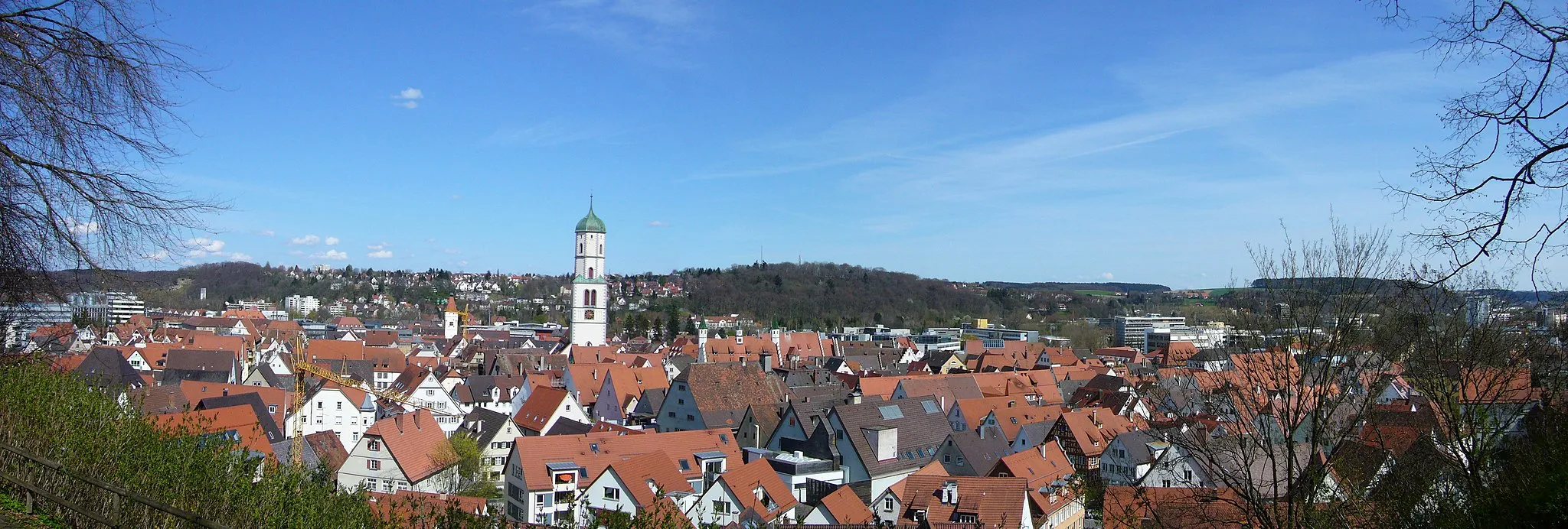
Start: Ingoldingen Village centerIngoldingen: Ingoldingen - Cycling Bliss in Tübingen
Ingoldingen, located in Tübingen, Germany, provides an excellent environment for road and gravel cyclists. The locality boasts quiet roads surrounded by unspoiled nature, creating an ideal cycling atmosphere. Additionally, Ingoldingen is in close proximity to the Danube river, offering scenic rides along its banks. With its peaceful cycling routes and natural beauty, Ingoldingen receives a rank of 4 from a cyclist's perspective.0 km
0 km
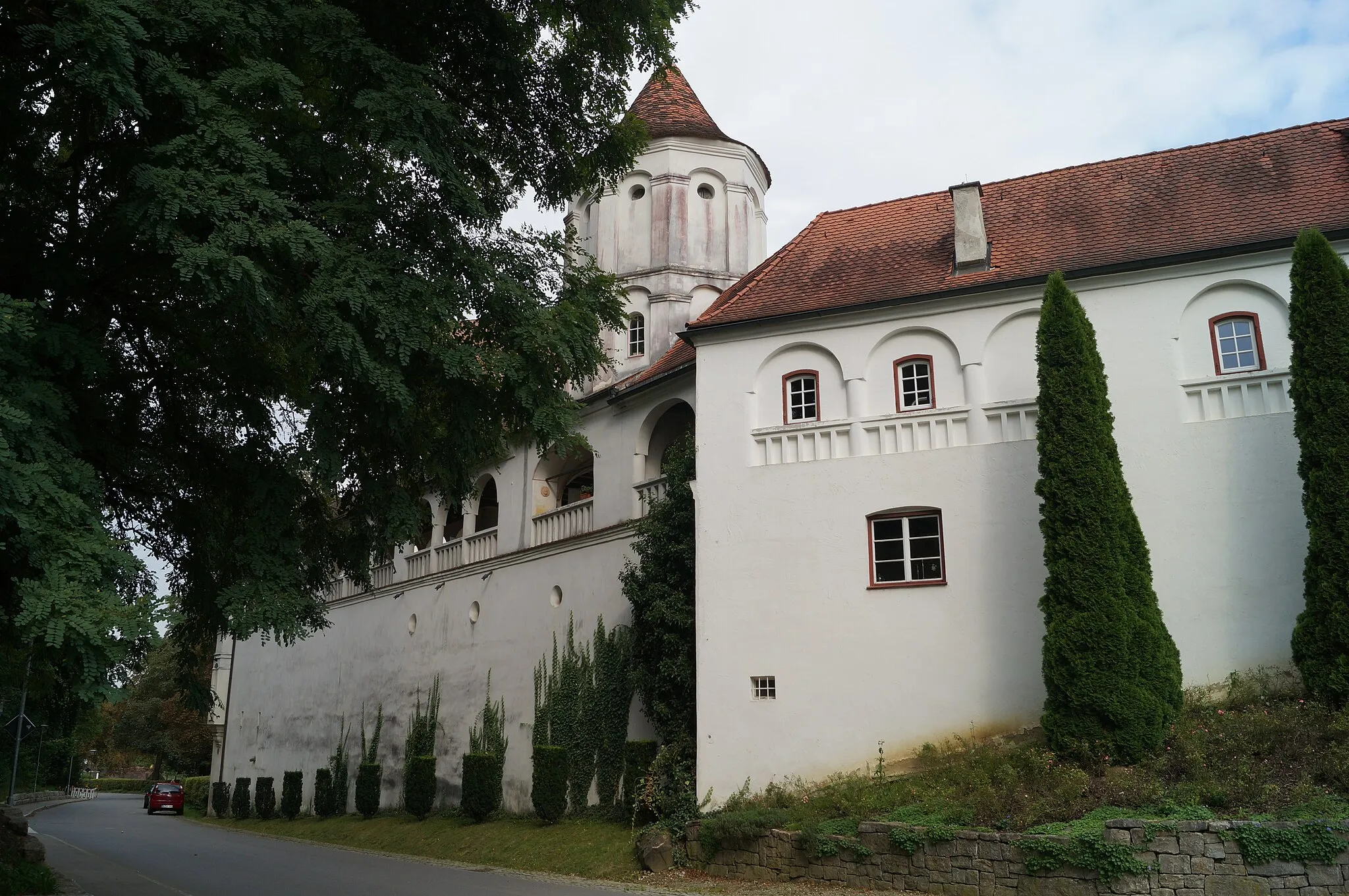
IngoldingenVillageIngoldingen, the starting point of this route, is a picturesque village with a rich history and beautiful architecture.
11 km
11 km
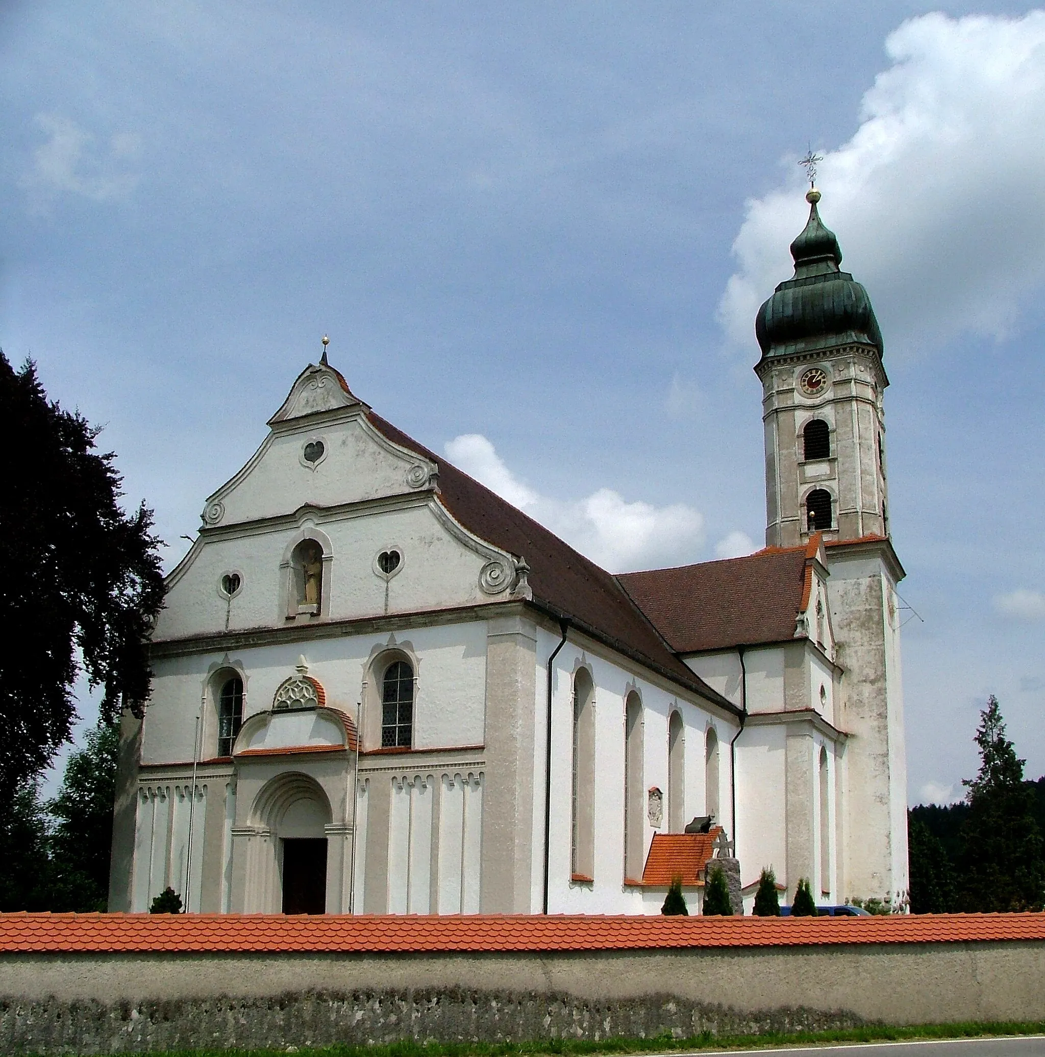
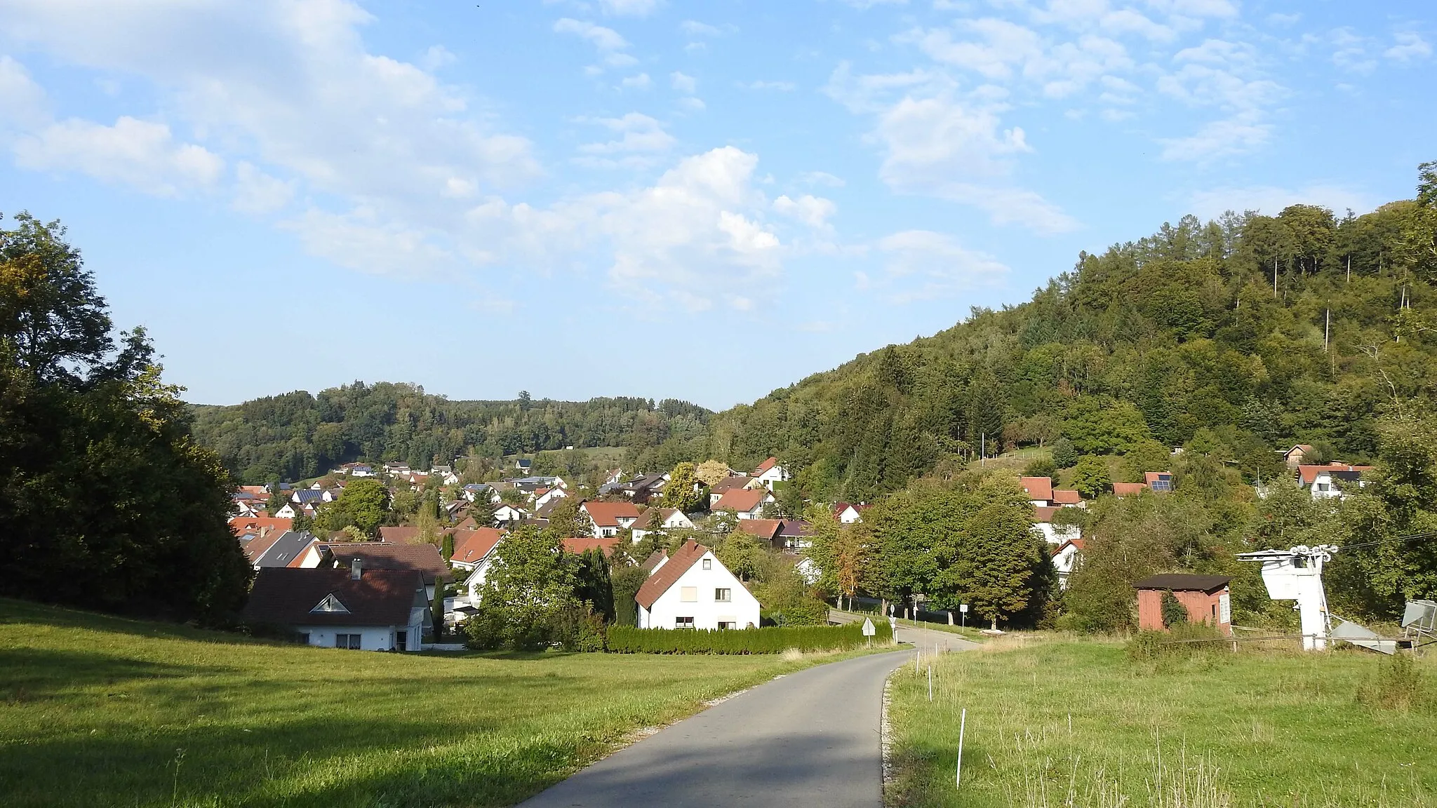
Lindele614 mPeak ViewpointLindele is a charming village with well-preserved half-timbered houses, providing a glimpse into the region's cultural heritage.
23 km
23 km
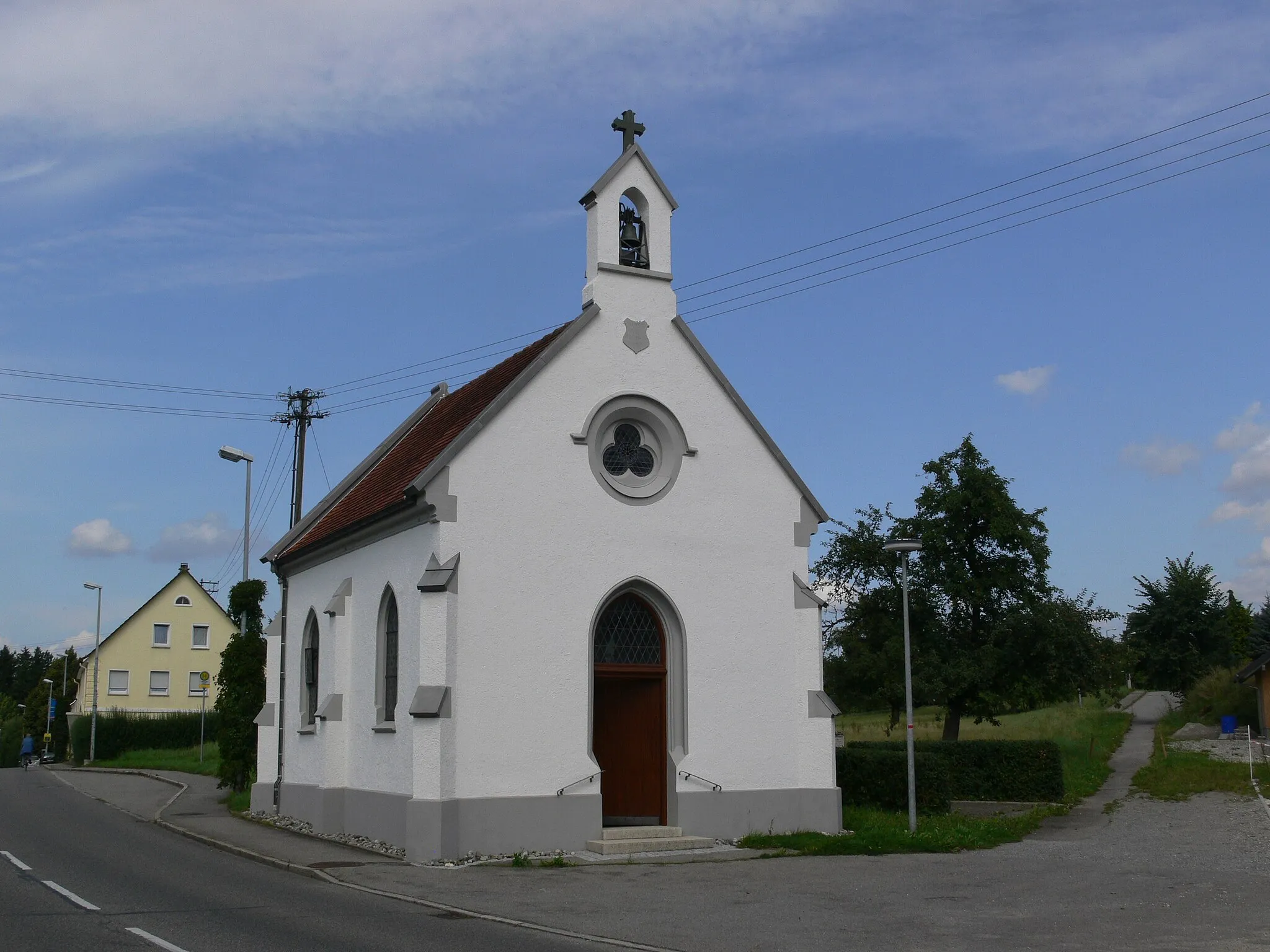
MaselheimVillageMaselheim is a small village surrounded by idyllic landscapes, making it a perfect spot for a peaceful break.
32 km
32 km
Aspen653 mPeakAspen offers scenic views of rolling hills and picturesque farmland, creating a serene atmosphere for cyclists.
32 km
32 km
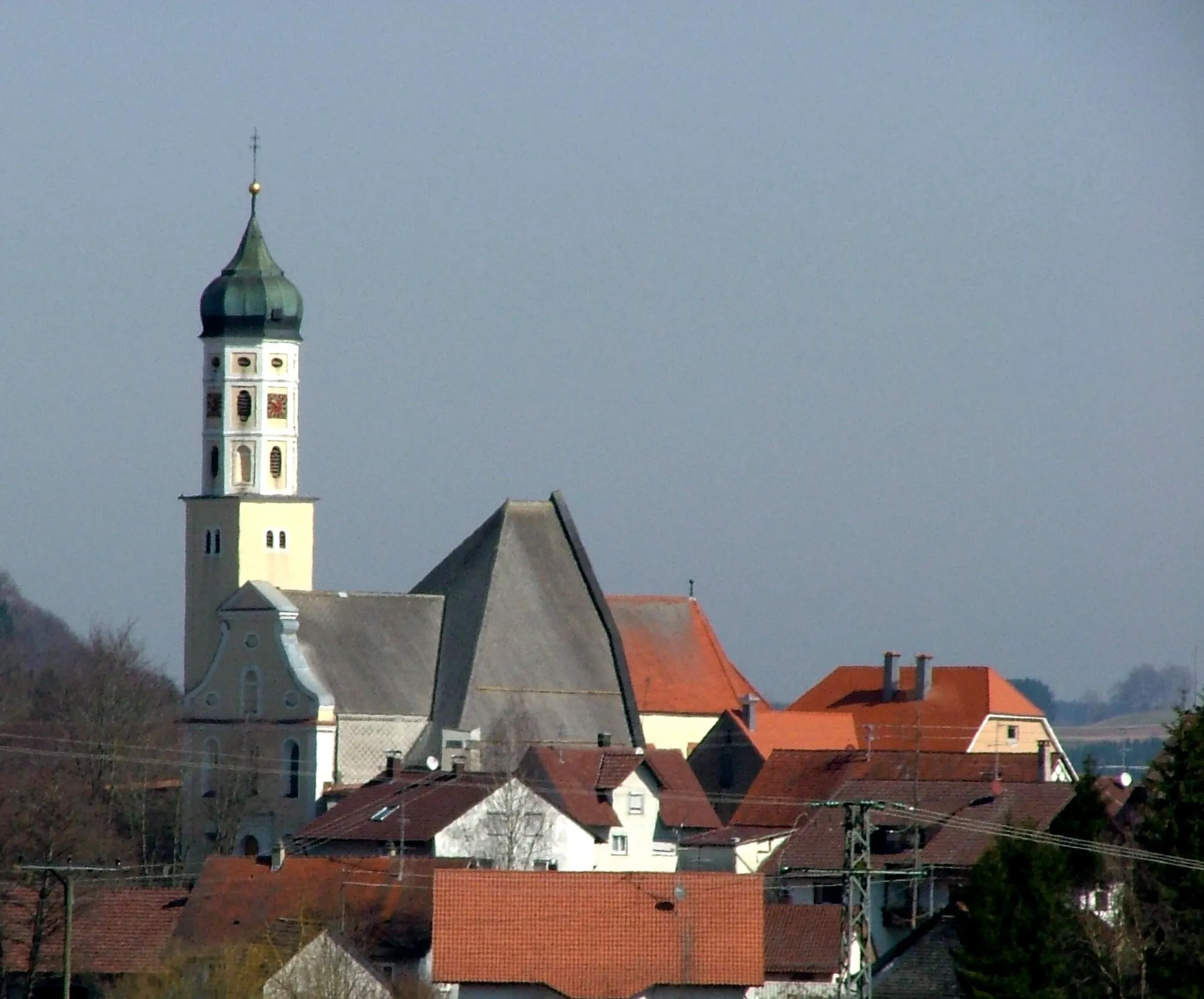
RingschnaitVillageRingschnait is known for its panoramic viewpoints, offering stunning vistas of the surrounding countryside.
40 km
40 km
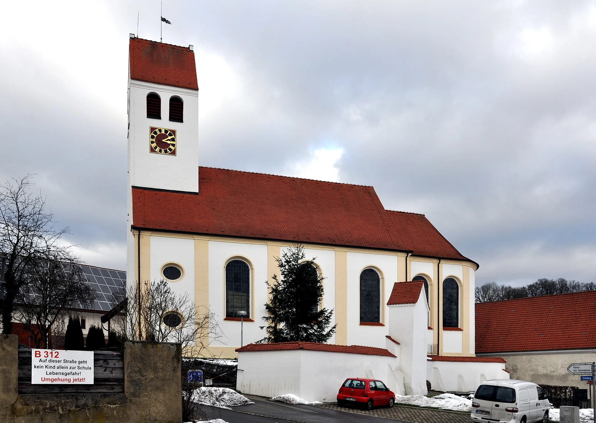
SchweinhausenVillageSchweinhausen is a quaint village with beautiful traditional architecture and a tranquil ambiance.
46 km
46 km
Finish: Ingoldingen Village centerIngoldingen: Ingoldingen - Cycling Bliss in Tübingen
Cycling routes from Ingoldingen:
Road Cycling Adventure Scenic Road Tour The Ultimate Road Challenge Gravel Loop through Lindele and Ringschnait The Ingoldingen Adventure Gravel Exploration to Bad Buchau Scenic Road Cycling Route to Bad Waldsee and Ebersbach-Musbach Gravel Adventure to Aulendorf and Buchbühl Epic Road Cycling Adventure to Kislegg and Winterstettenstadt Gravel Route to Winterstettendorf and Glasius-Erler Bank-AP
Cycling routes nearby: