Stein Challenge
A road cycling route starting from Mossingen
Challenging road cycling route with remarkable highlights
Map

The Stein Challenge is a road cycling route starting near Mössingen that will challenge even the most experienced cyclists. With a total ascent of 694 meters and a distance of 67 kilometers, it offers a demanding ride through scenic terrain. The highlights along the route include Stein, a hill with panoramic views, Bodelshauser Kopf, a challenging climb, and Kapf mit Kreuz, a viewpoint with breathtaking vistas. This route showcases the diversity of landscapes in the region and rewards riders with stunning natural beauty.
road
67 km
694 m
Tough
Route profile
Highlights on the route
0 km
0 km
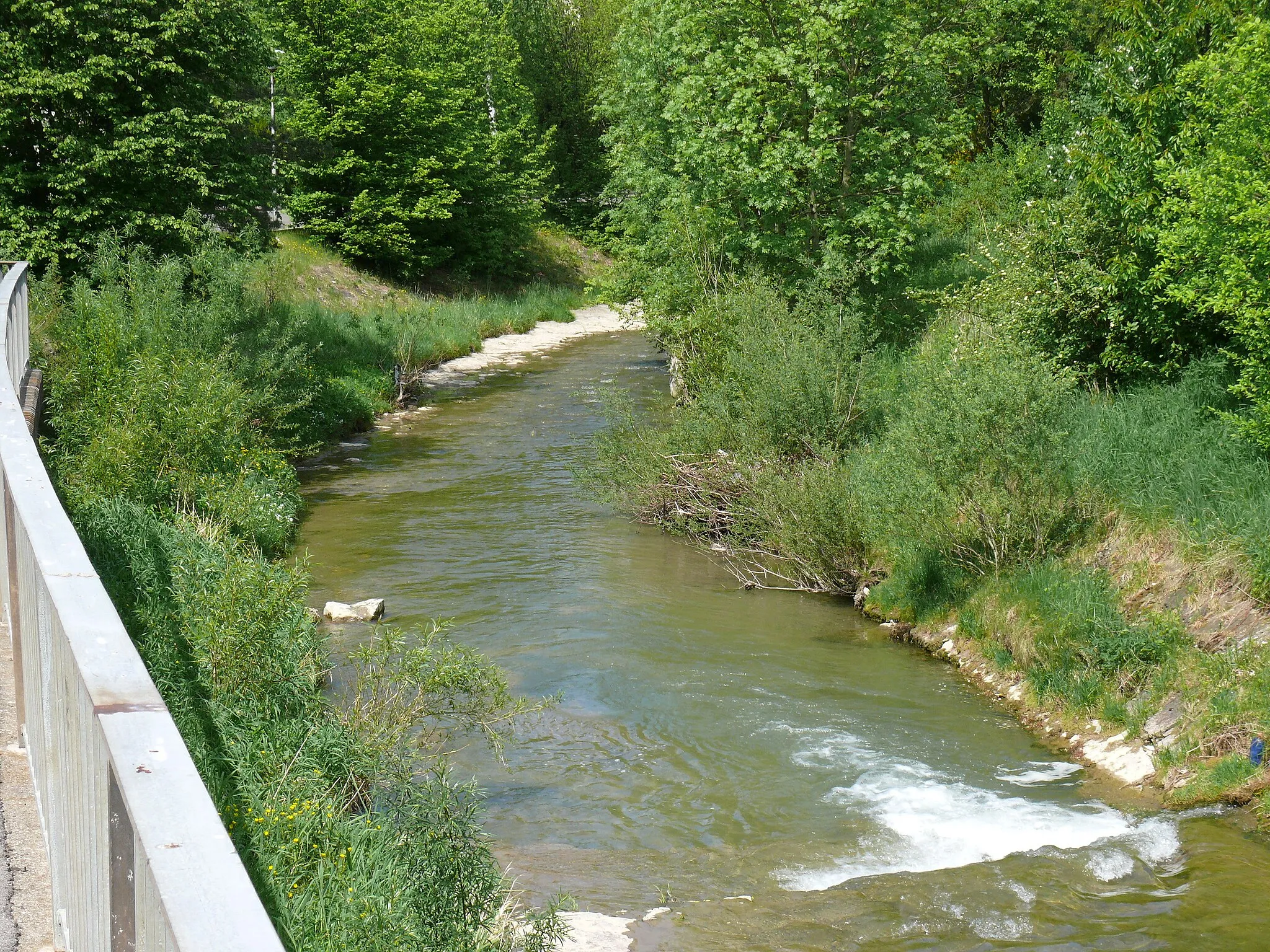
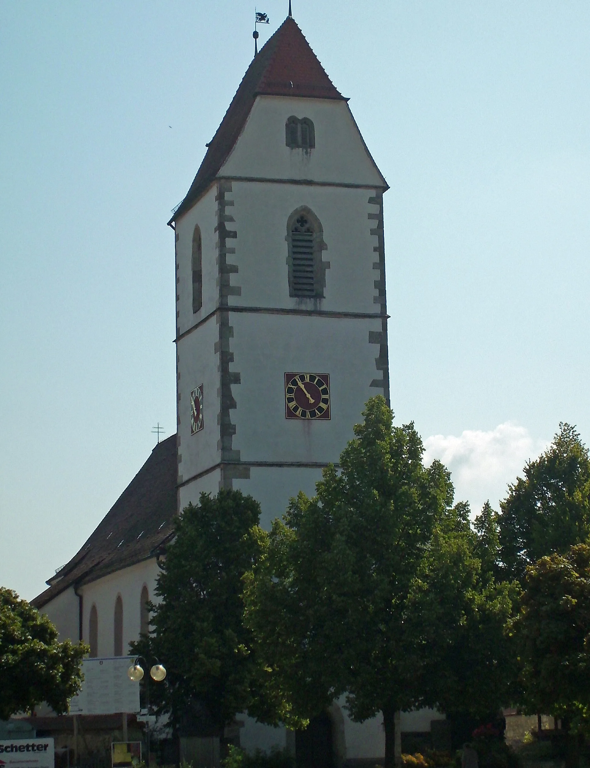
Start: Bästenhardt Village centerMössingen: Home Base for Legendary Climb and Mix of Terrains in Swabian Alps
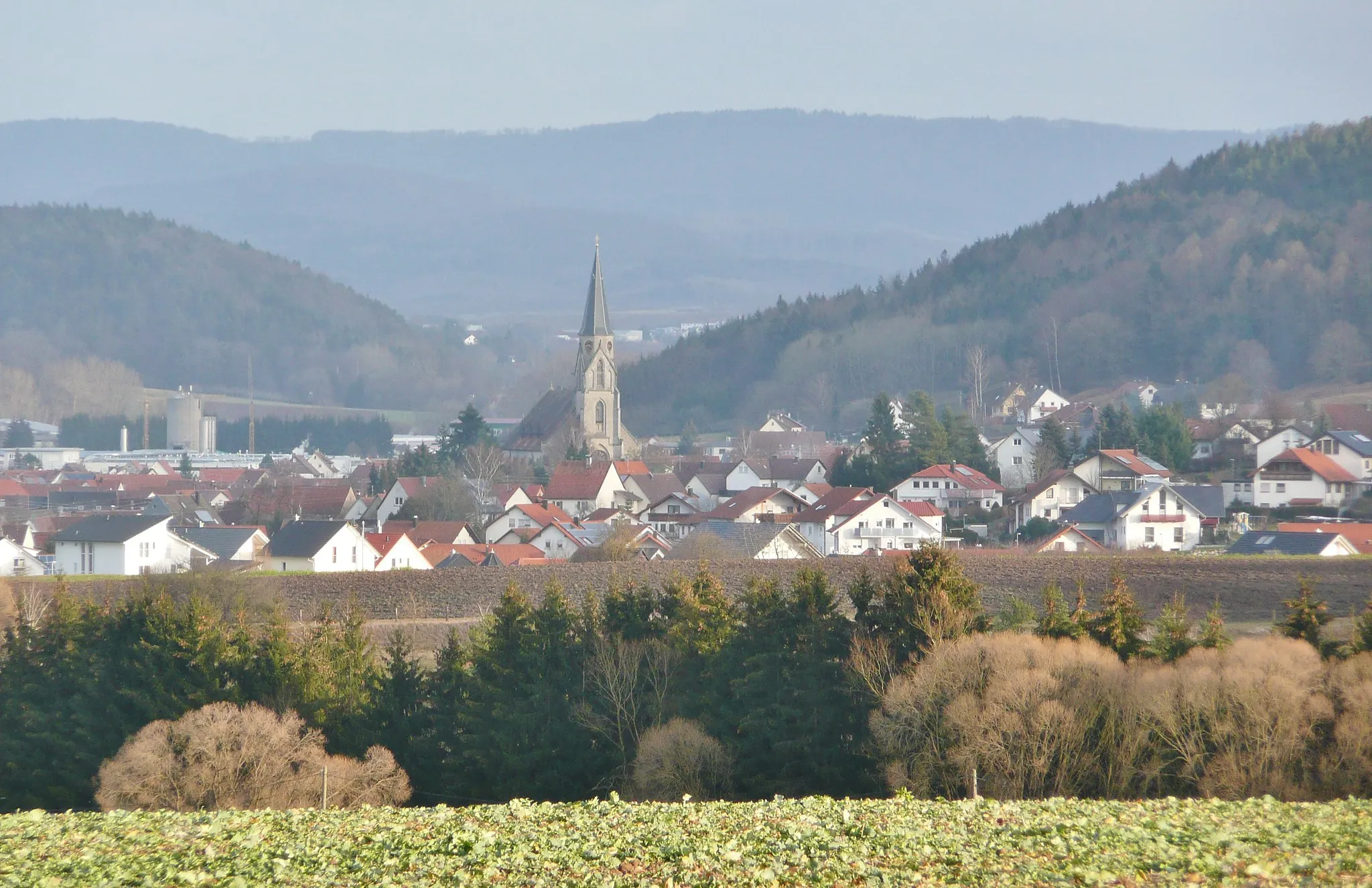
Mössingen, located in the Tübingen region of Germany, is a popular area for road and gravel cycling. The region offers a varied mix of terrain, including flat sections along the Neckar River and challenging climbs in the Swabian Alps nearby. Mössingen is well-known among cyclists for its direct access to the famous challenging climb, Katzenstrick. This legendary climb attracts cycling enthusiasts from all over the world and provides an intense uphill challenge. Apart from the iconic climb, cyclists can enjoy picturesque landscapes filled with vineyards, forests, and historic castles. Mössingen also provides cyclist-friendly amenities and infrastructure, making it an ideal base for exploring the wider cycling opportunities in the region.9 km
9 km
SteinVillageStein is a scenic hill that offers panoramic views of the surrounding countryside. Take a moment to enjoy the stunning vistas and appreciate the natural beauty of the area.
12 km
12 km
Bodelshauser Kopf538 mPeakBodelshauser Kopf is a challenging climb that tests your climbing skills. Conquer this ascent and be rewarded with expansive views of the region.
20 km
20 km
Kapf mit KreuzViewpointKapf mit Kreuz is a viewpoint with picturesque vistas. Take a moment to soak in the beauty of the rolling hills and forests.
21 km
21 km
Schloss HaigerlochCastleSchloss Haigerloch is a historic castle perched on a hilltop. Appreciate the medieval architecture and learn about its fascinating history.
30 km
30 km
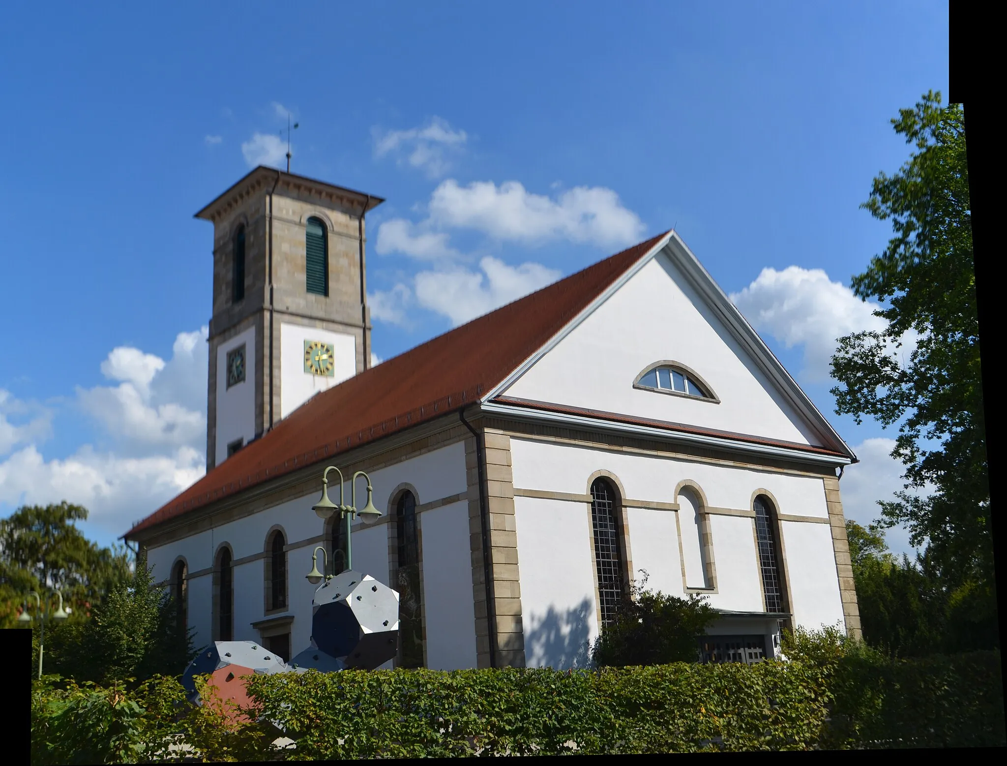
EmpfingenVillageEmpfingen is a charming village with traditional houses and a peaceful atmosphere. Take a break and explore its streets.
36 km
36 km
MühringenSub-urbMühringen is a small village with traditional half-timbered houses. Experience its rural charm and enjoy the tranquility of the area.
51 km
51 km
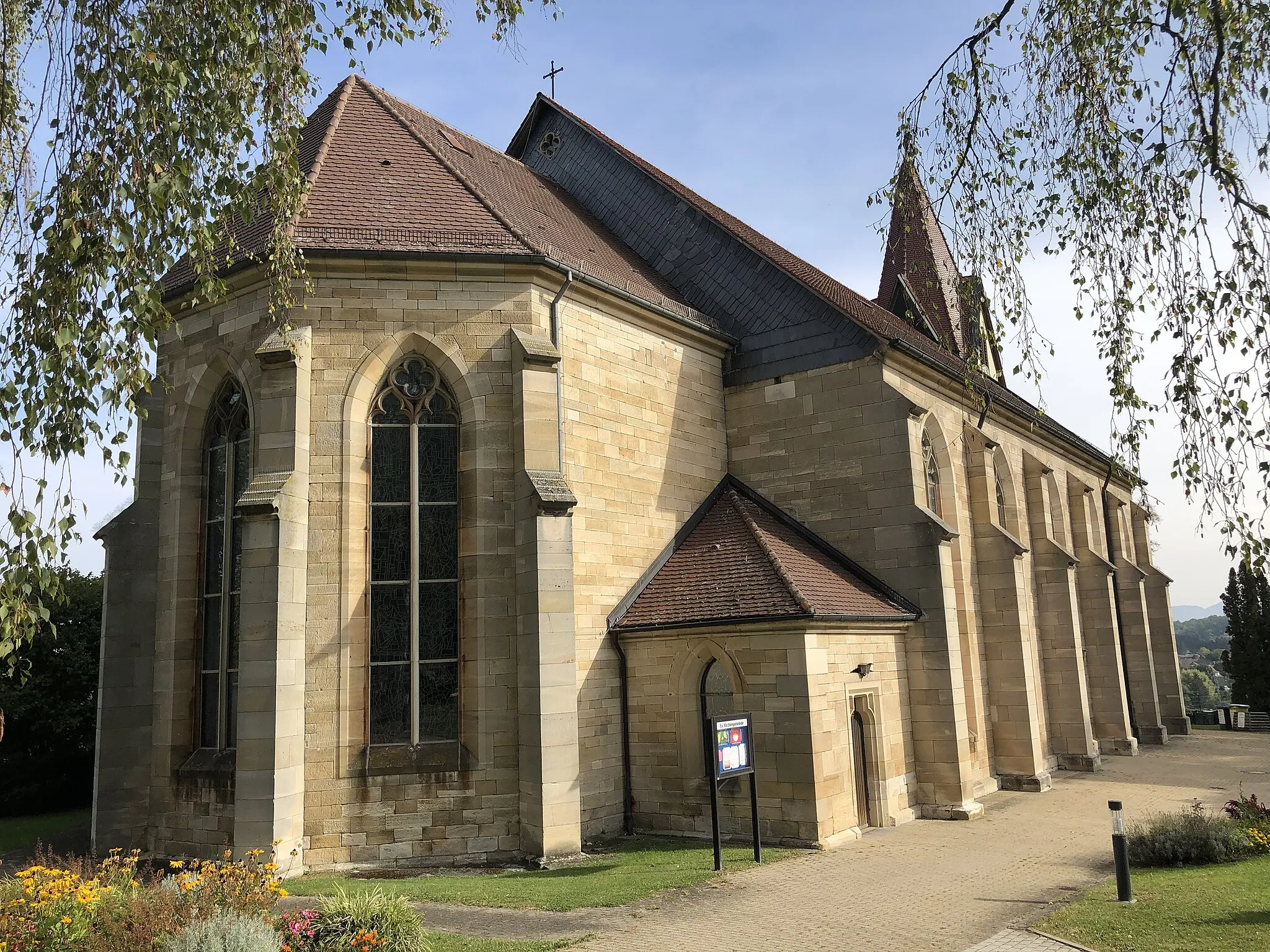
Bad NiedernauSub-urbBad Niedernau is a spa town known for its therapeutic mineral springs. After the challenging ride, indulge in relaxation at one of the local spas.
53 km
53 km
Schlösslesberg448 mPeakSchlösslesberg is a hill with a historical fortress ruins. Discover the remnants of the ancient castle and enjoy the surrounding nature.
67 km
67 km
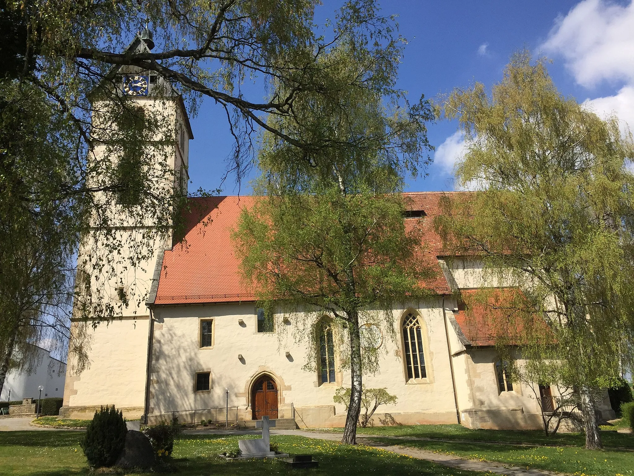
BästenhardtVillageBästenhardt is a picturesque village with traditional half-timbered houses. Take a moment to explore its narrow streets and old church.
67 km
67 km
Finish: Bästenhardt Village centerMössingen: Home Base for Legendary Climb and Mix of Terrains in Swabian Alps
Cycling routes from Mossingen:
Challenging Cycling Adventure from Mössingen Scenic Road Adventure near Mössingen Flourishing Gravel Fun in Mössingen's Vicinity Bästenhardt Loop Picturesque Gravel Route Exploring Mössingen Epic Road Cycling Expedition near Mössingen Huge Climb Adventure Gravel Adventure Mössingen Loop Stein Challenge
Cycling routes nearby: