The Historic Route
A road cycling route starting from Oberteuringen
Cycle through the picturesque towns and villages near Oberteuringen
Map
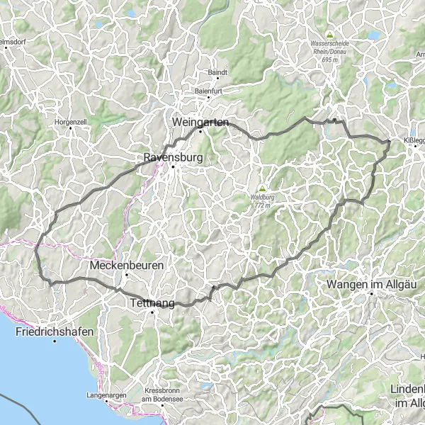
Embark on a historic journey on this road cycling route near Oberteuringen. With a distance of 83 kilometers and an ascent of 904 meters, this route will take you through charming towns such as Blaserturm, Wolfegg, and Amtzell. Discover the rich local history and architectural gems along the way, including the beautiful Oberteuringen.
road
83 km
904 m
Tough
Route profile
Highlights on the route
0 km
0 km
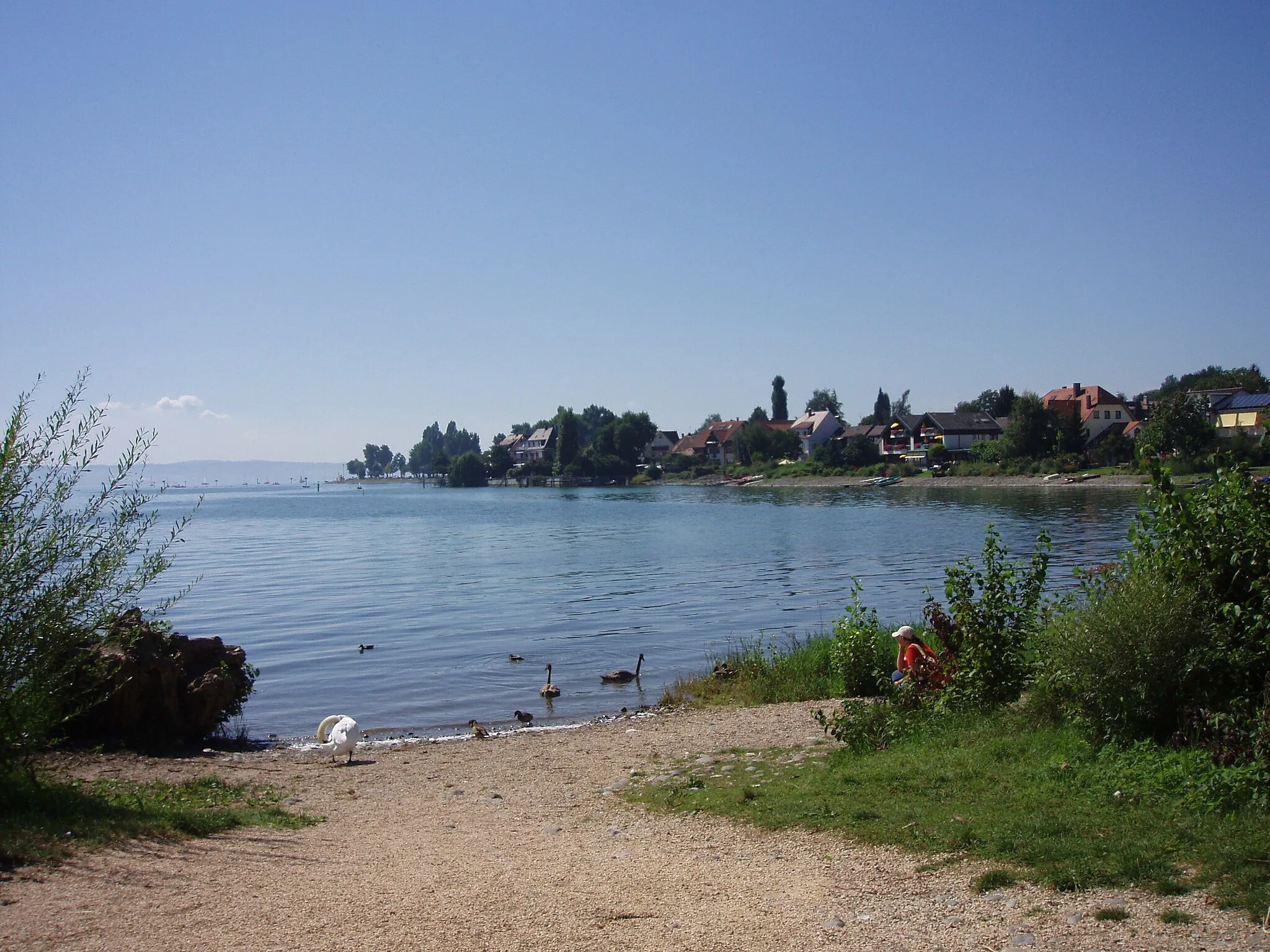
Start: Unterteuringen Village centerOberteuringen: Cycling routes through scenic landscapes and near Lake Constance
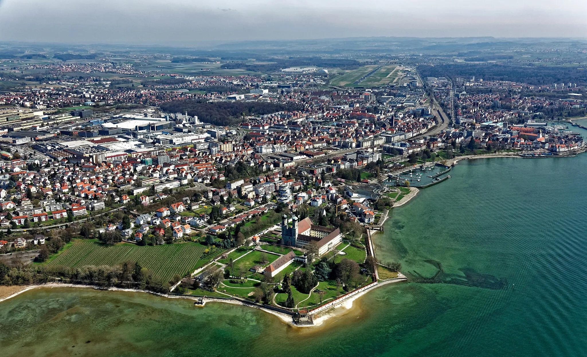
Oberteuringen is a charming locality situated in the Tübingen region of Germany. From a road and gravel cyclist's perspective, Oberteuringen offers a range of cycling routes suitable for different skill levels. Cyclists can enjoy riding through rolling hills, vineyards, and picturesque countryside. The town is located near Lake Constance, offering cyclists the opportunity to combine their rides with beautiful lake views. Additionally, there are several well-known climbs in the surrounding area, such as the Hohenbodman climb, which attracts cycling enthusiasts. Oberteuringen is a wonderful destination for both recreational rides and challenging climbs.1 km
1 km
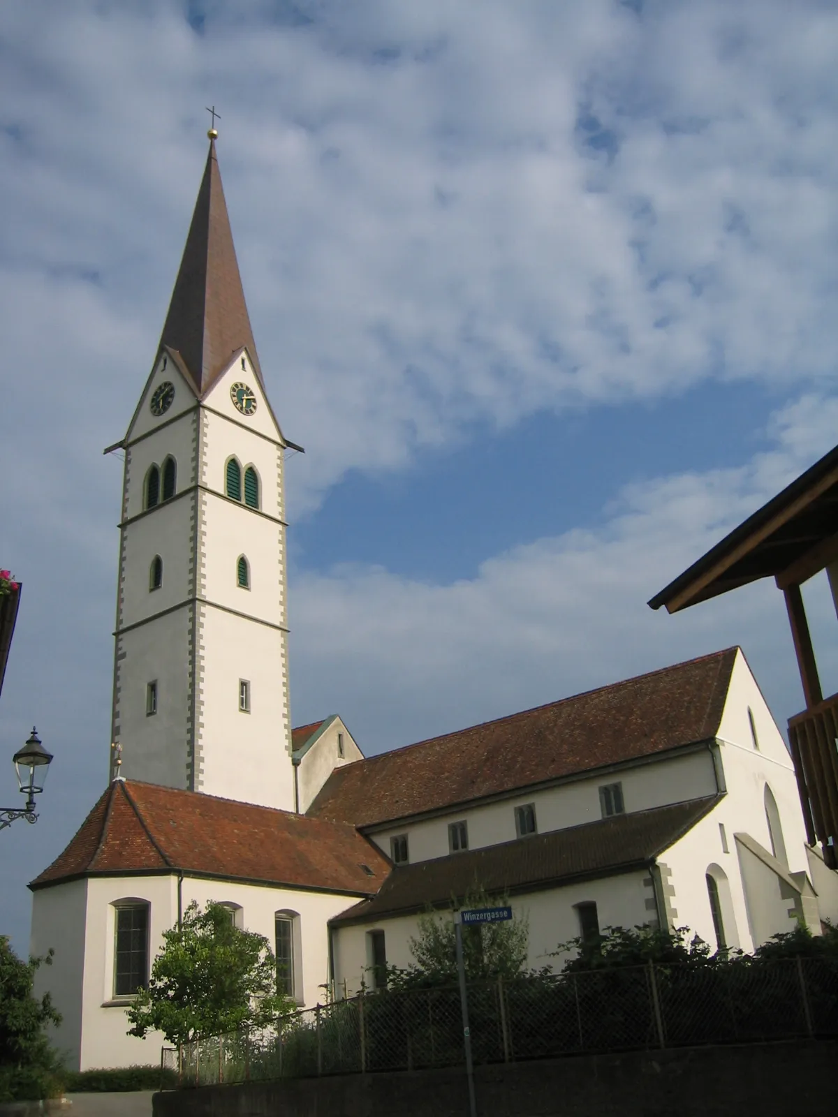
OberteuringenVillageOberteuringen, a small village with traditional half-timbered houses.
15 km
15 km
BlaserturmViewpointBlaserturm, a medieval tower offering panoramic views of the surrounding countryside.
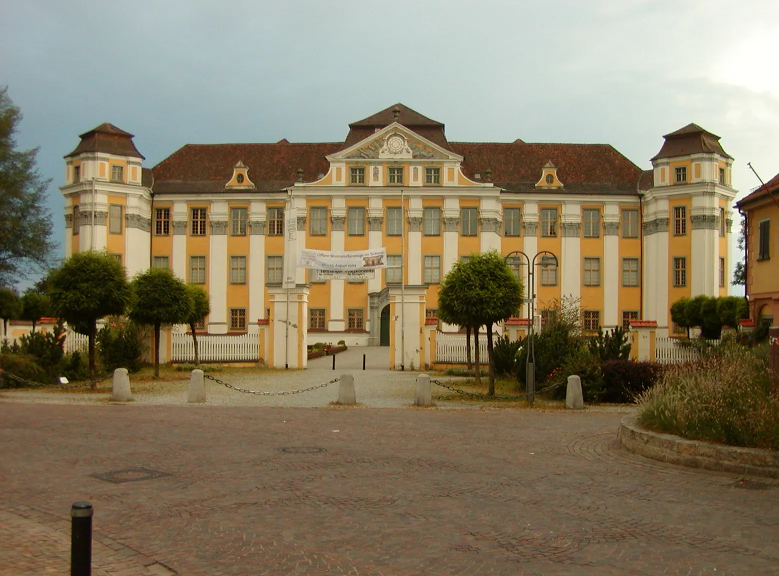
32 km
32 km
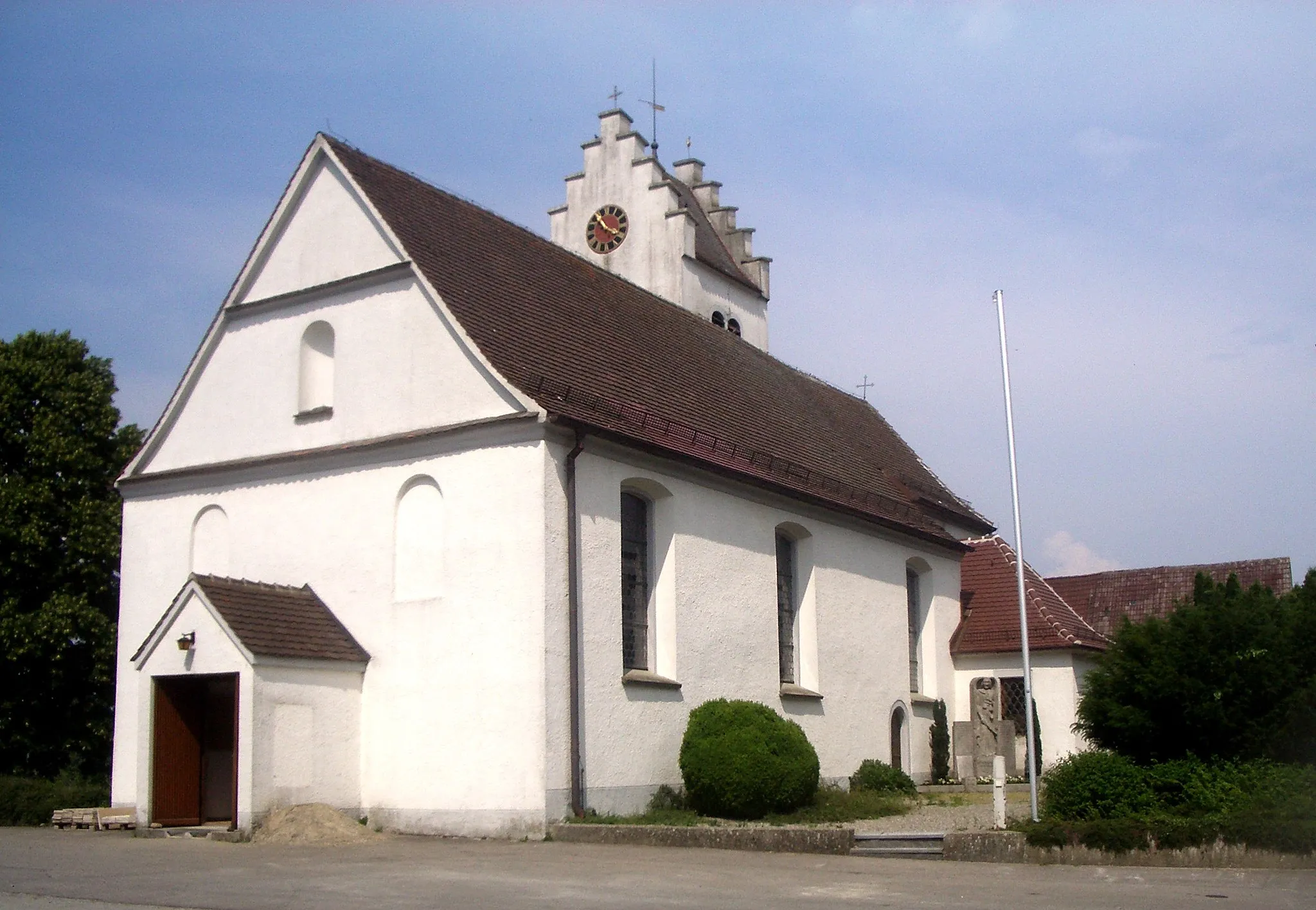
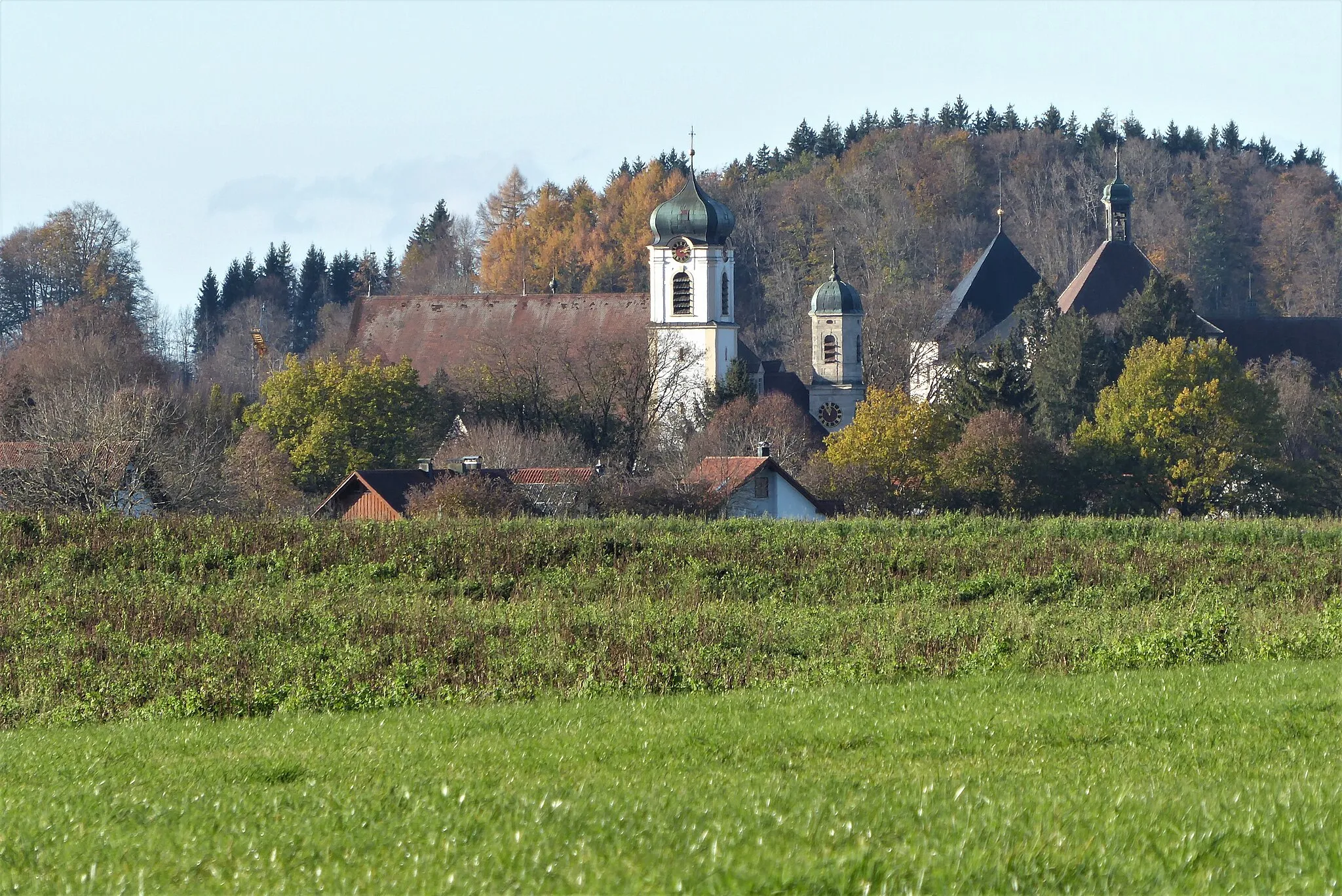
WolfeggVillageWolfegg, home to Wolfegg Castle with its impressive Renaissance architecture.
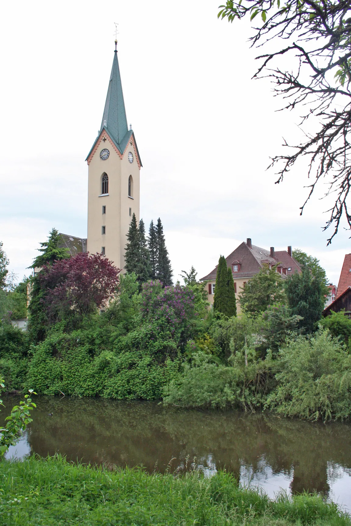
54 km
54 km
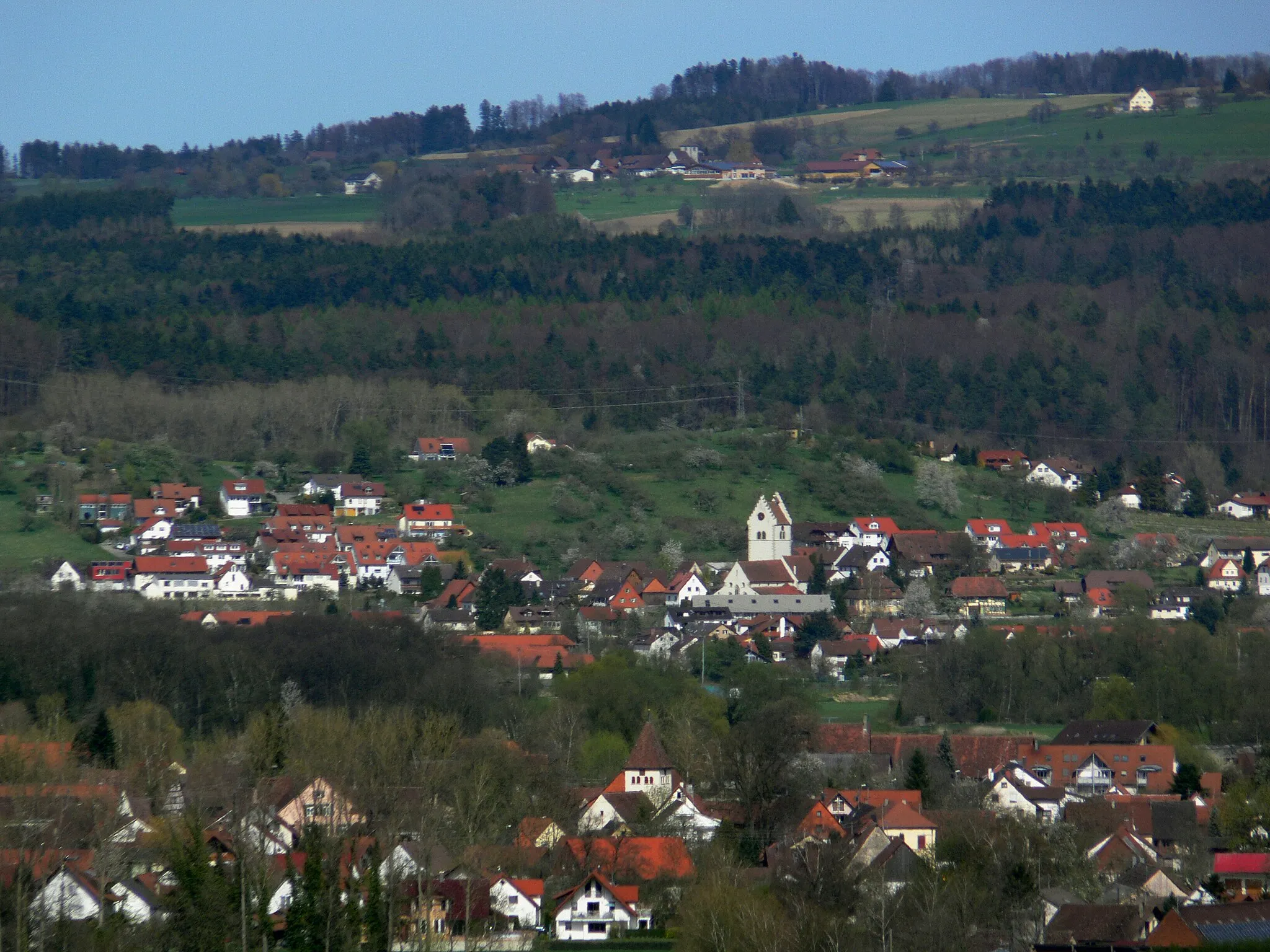
AmtzellVillageAmtzell, a charming town known for its baroque church and picturesque town center.
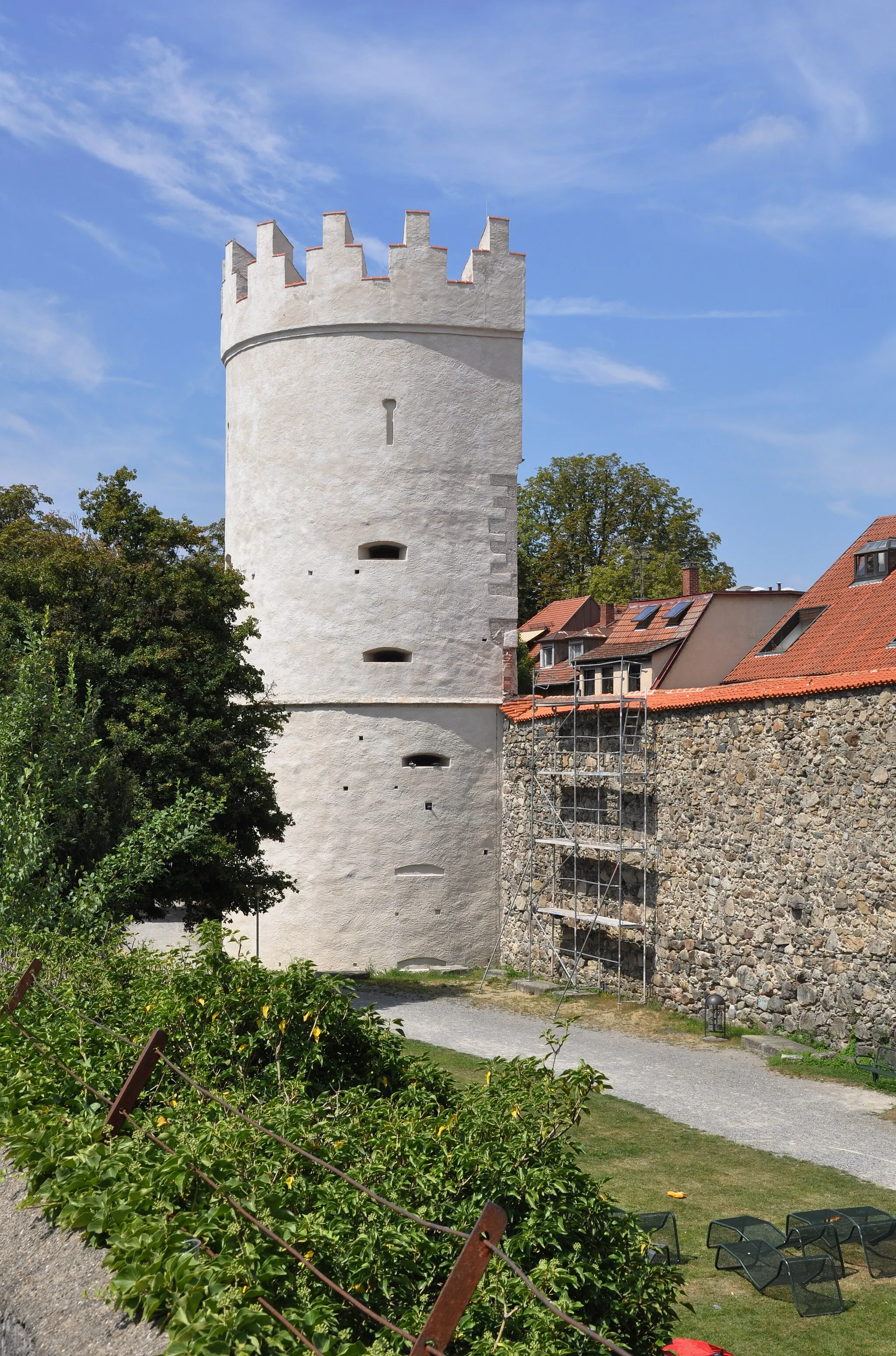
69 km
69 km
TettnangTownTettnang, famous for its historic castle and well-preserved medieval town walls.
78 km
78 km
AilingenSub-urbAilingen, a quaint village surrounded by rolling hills and scenic landscapes.
83 km
83 km
Finish: Unterteuringen Village centerOberteuringen: Cycling routes through scenic landscapes and near Lake Constance
Cycling routes from Oberteuringen:
Mesmerizing Road Tour: Oberteuringen Explorer Scenic Gravel Route from Tübingen to Oberteuringen Picturesque Road Trip: Oberteuringen Loop Schloss Salem Explorer Ultimate Gravel Adventure: Oberteuringen Challenge Tübingen to Oberteuringen Road Cycling Route Oberteuringen - Stunning Gravel Adventure Challenging Gravel Escape: Oberteuringen Circuit Gravel Adventure The Lake Constance Loop The Historic Route The Off-Road Adventure The Scenic Loop The Gravel Escape
Cycling routes nearby: