The Excursion to Stein am Rhein
A road cycling route starting from Staad
Embark on a scenic road cycling adventure to the picturesque village of Stein am Rhein.
Map

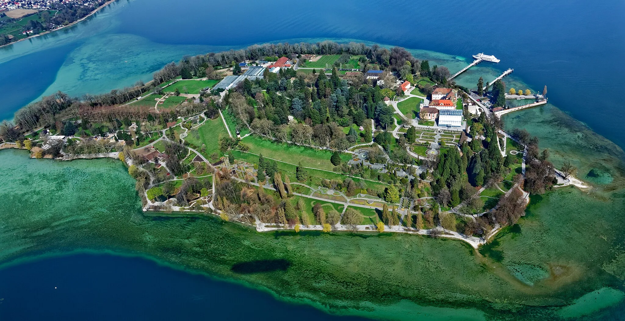
Discover the beauty of the Lake of Constance region on this road cycling route to the charming village of Stein am Rhein. With a demanding ascent of 685m over a distance of 82km, this ride offers stunning vistas and cultural highlights. The difficulty level is rated at 3 out of 5, making it suitable for well-trained amateurs. The epicness score is 3 out of 5, as there are several attractions of historical and natural significance along the way.
road
82 km
685 m
Tough
Route profile
Highlights on the route
0 km
0 km
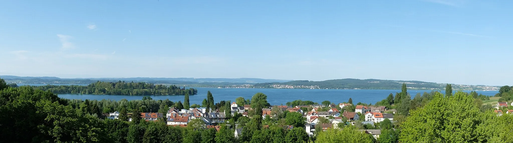
Start: Locality centerStaad: Journey through the rolling hills and vineyards of Staad.
Staad, situated in Tübingen, Germany, is a cyclist-friendly locality that offers picturesque routes for road and gravel cycling. The region boasts beautiful landscapes, including rolling hills and vineyards, creating a charming backdrop for cycling adventures. Cyclists will appreciate the well-maintained roads and convenient cycling infrastructure in the area. Staad is also known for the Swabian Jura, a mountain range that provides challenging climbs and rewards cyclists with breathtaking views. With its delightful scenery and cycling-friendly environment, Staad is a hidden gem for cyclists in Tübingen.4 km
4 km
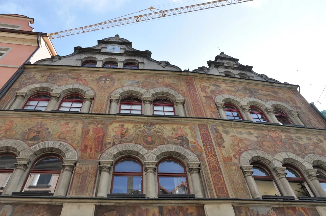
ConstanceTownExperience the vibrant atmosphere of Constance and its lively waterfront promenade.
12 km
12 km
NapoleonturmViewpointClimb up to the Napoleonturm for panoramic views of Lake of Constance and the Swiss Alps.
34 km
34 km
Stein am RheinAttractionExplore the enchanting village of Stein am Rhein with its beautifully preserved medieval architecture.
37 km
37 km
Wolkensteinerberg608 mPeak ViewpointRide up to the Wolkensteinerberg for stunning vistas of the surrounding countryside.
58 km
58 km
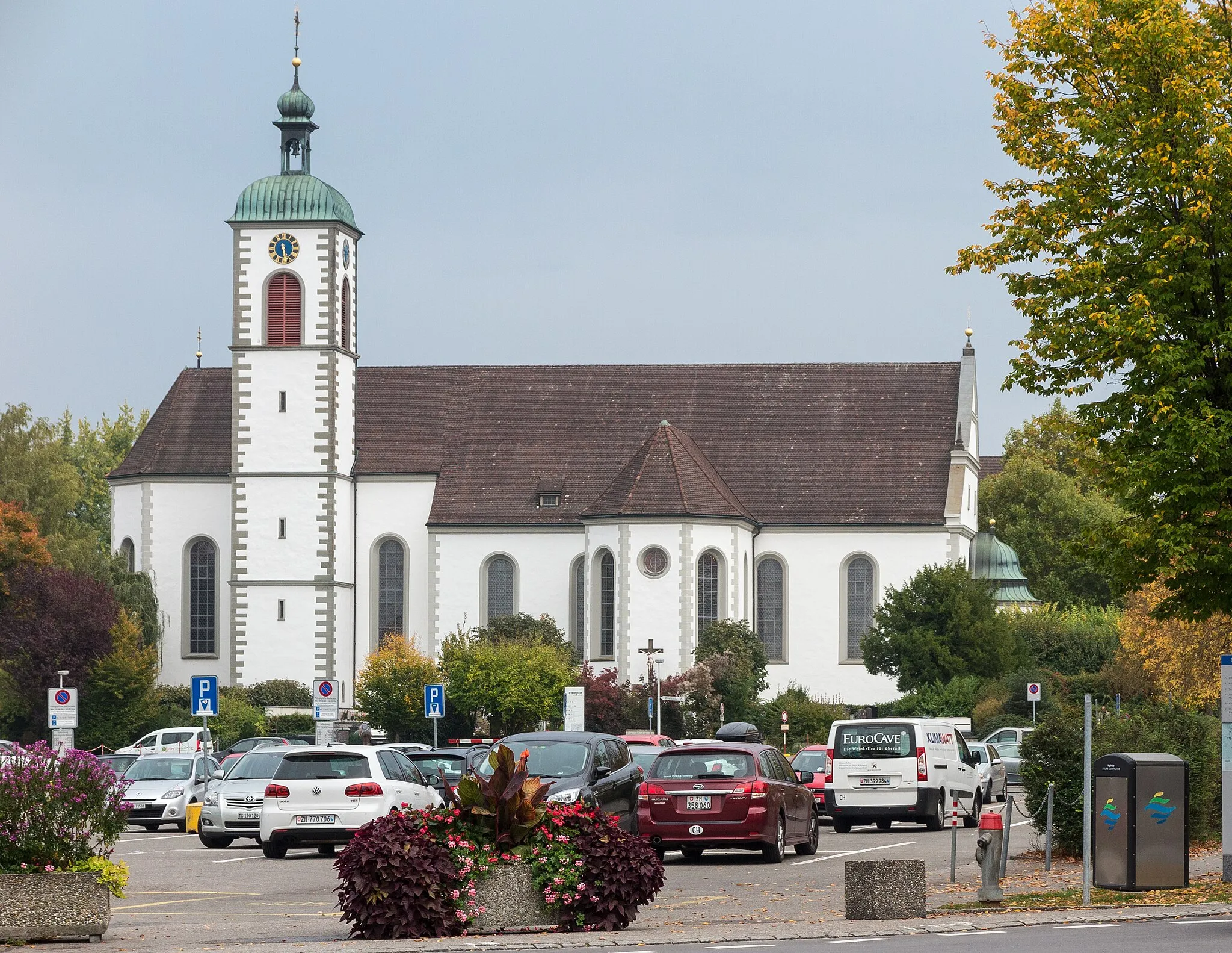
Radolfzell am BodenseeTownStop in Radolfzell am Bodensee and take a walk along the charming lakeside promenade.
74 km
74 km
Heckenberg508 mPeakMarvel at the beauty of the Heckenberg, a natural reserve famous for its rich flora and fauna.
78 km
78 km
LitzelstettenSub-urbPass through Litzelstetten and admire the idyllic landscapes of the Lake of Constance.
82 km
82 km
Finish: Locality centerStaad: Journey through the rolling hills and vineyards of Staad.
Cycling routes from Staad:
Lake Constance Loop Coastal Exploration Lake Constance Scenic Route Hidden Gems of Eastern Lake Constance Gravel Adventure The Lake of Constance Gravel Adventure The Gravel Hills of Tübingen The Excursion to Stein am Rhein The Serene Gravel Loop The Ultimate Lake of Constance Gravel Challenge The Hilly Lake Tour
Cycling routes nearby: