Allgäu Scenic Loop
A road cycling route starting from Wangen
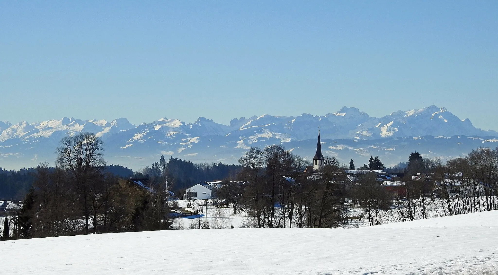
Discover the scenic beauty of Allgäu on this epic road cycling adventure
Map
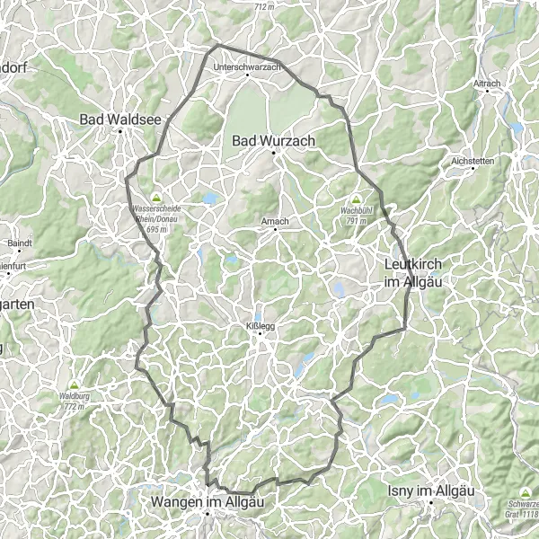
Embark on a challenging 93-kilometer road cycling journey starting from Wangen im Allgäu. Immerse yourself in the breathtaking landscapes of the Allgäu region while conquering a total elevation gain of 1214 meters. This route takes you through picturesque villages, rolling hills, and stunning viewpoints, offering an unforgettable cycling experience.
road
93 km
1214 m
Tough
Route profile
Highlights on the route
0 km
0 km
Start: Deuchelried Village centerWangen: Cycling through nature in Tübingen
Wangen in Tübingen, Germany is a cyclist-friendly locality with several enjoyable routes. The area features rolling hills and scenic landscapes, making it ideal for road and gravel cyclists. Cyclists can explore the lush countryside and picturesque towns while enjoying well-paved roads. Although there are no famous climbs in close proximity, Wangen provides a pleasant cycling experience with its idyllic scenery and cycling infrastructure.11 km
11 km
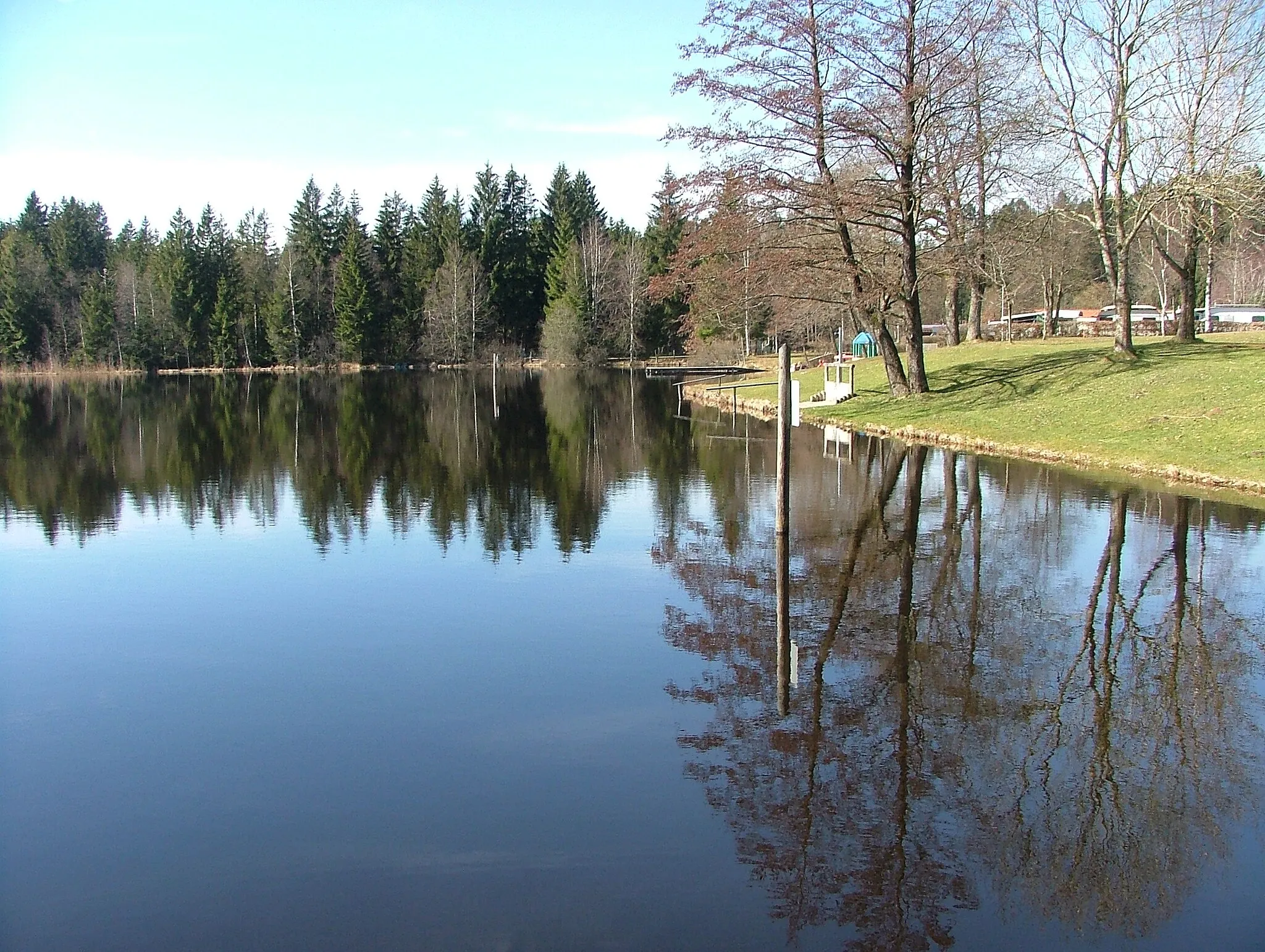
KarseeVillageKarsee is a small lake surrounded by lush greenery, providing a refreshing spot for a break.
22 km
22 km
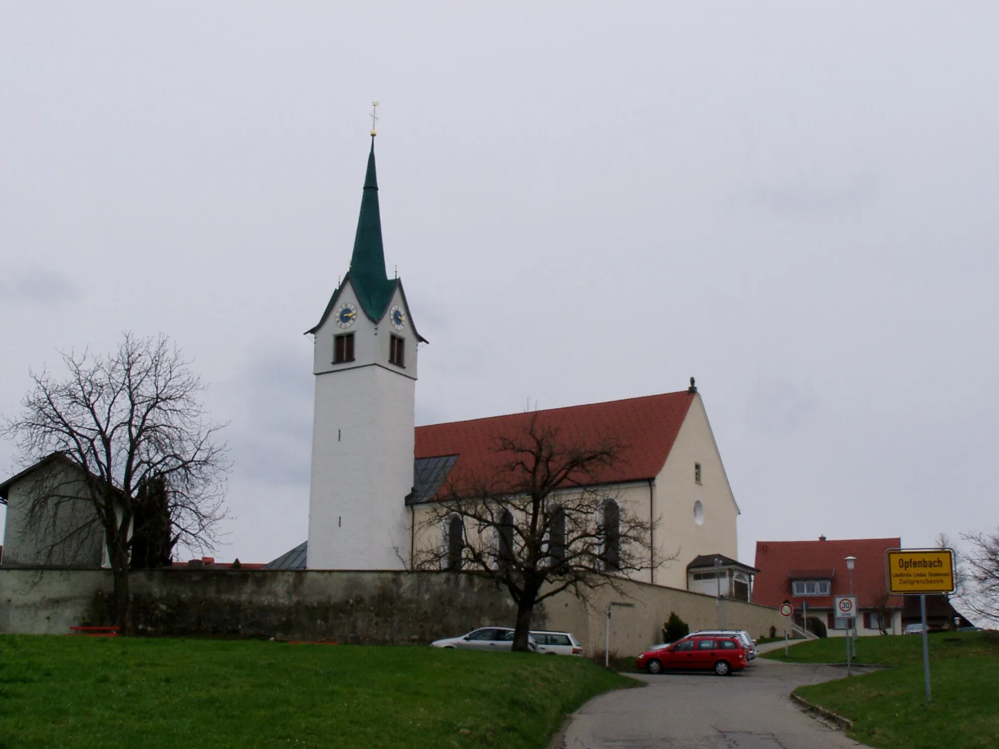
WolfeggVillageWolfegg is a charming village known for its historic castle and beautiful surroundings.
24 km
24 km
LindeleViewpointLindele is a serene spot surrounded by lush meadows and scenic landscapes.
36 km
36 km
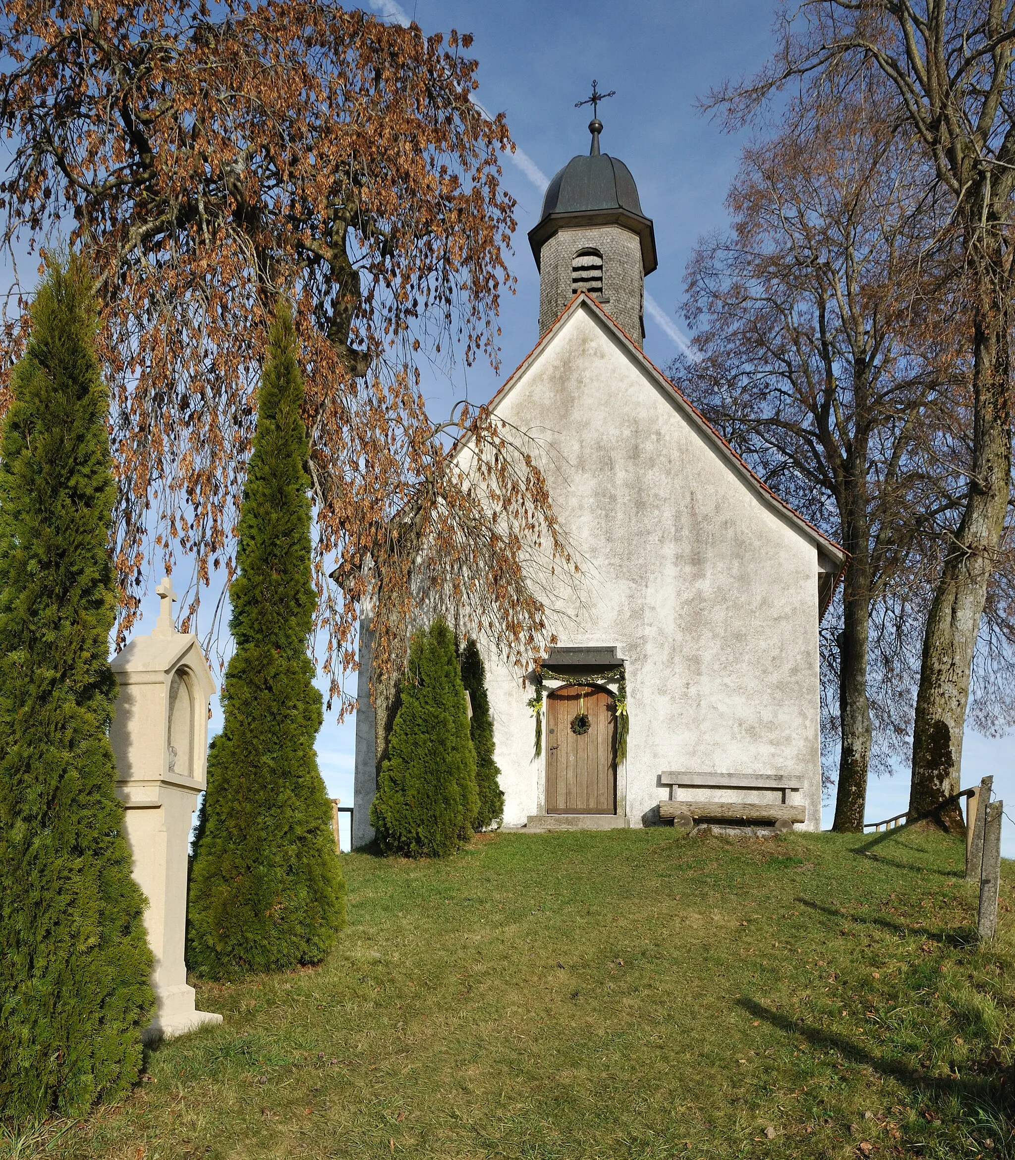
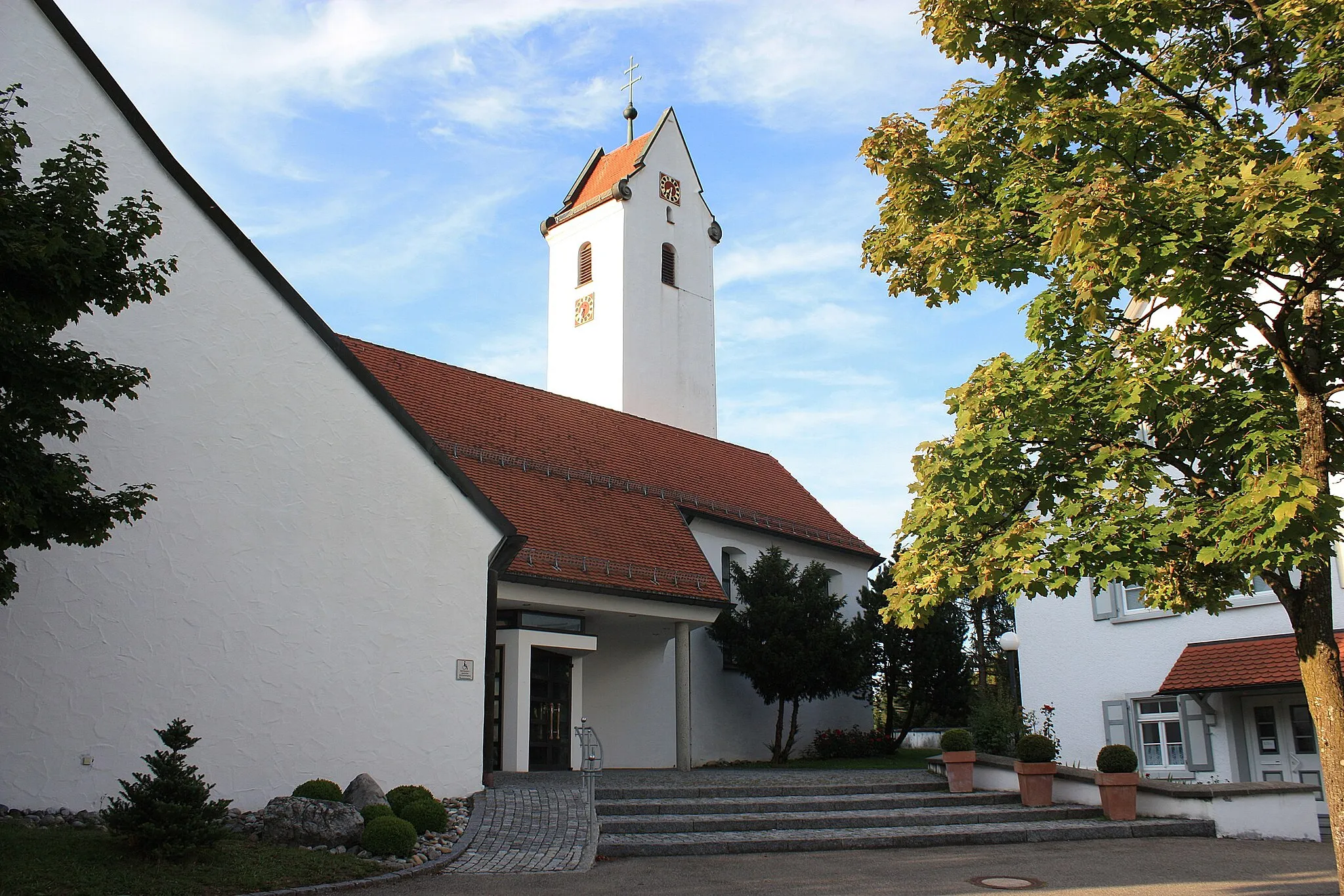
HaisterkirchVillageHaisterkirch is a picturesque village with a well-preserved church and offers beautiful views.
61 km
61 km
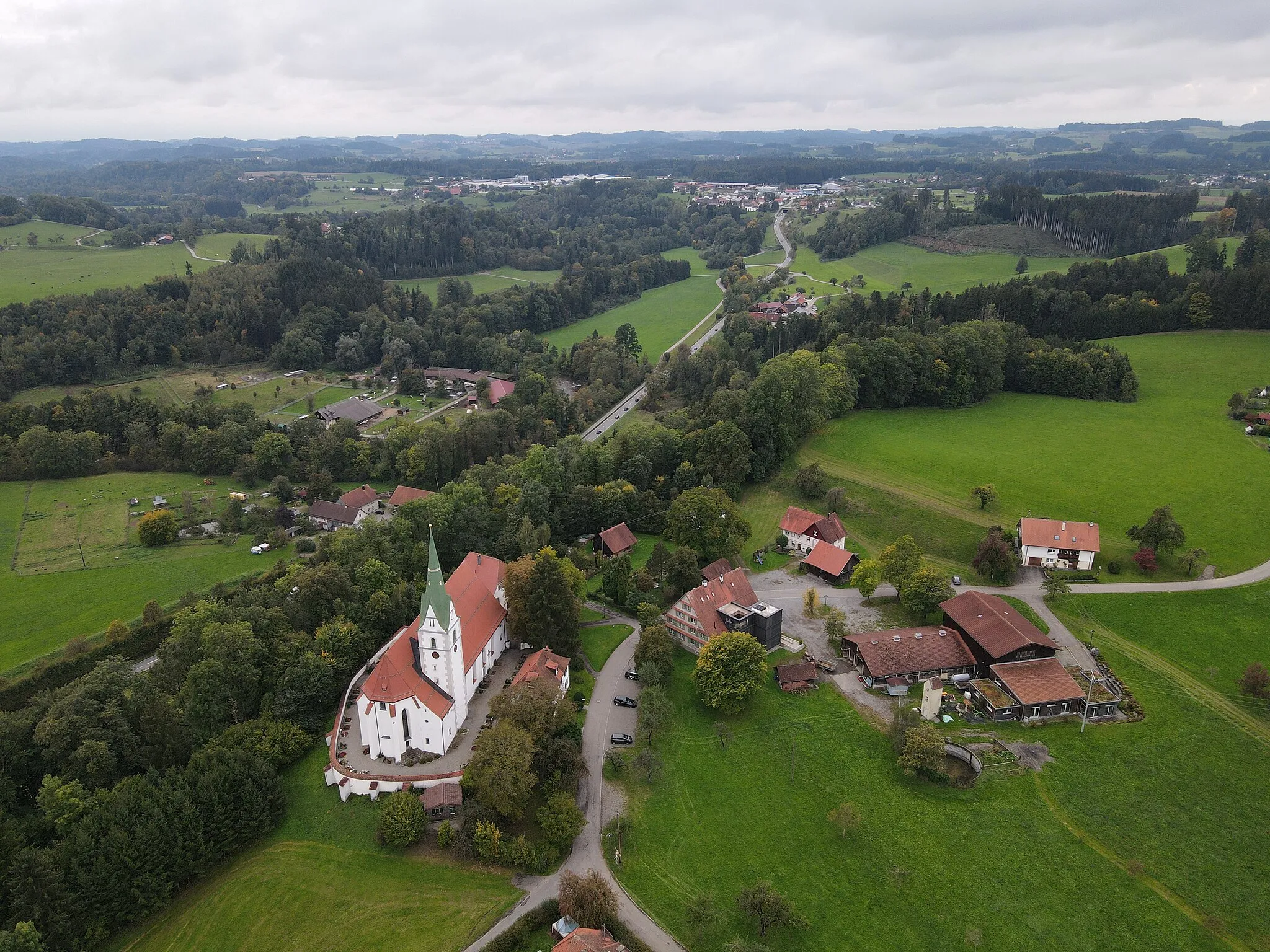
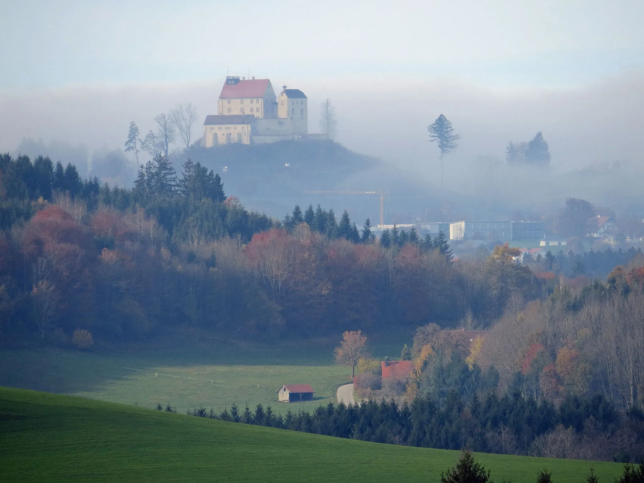
Schloss ZeilCastleSchloss Zeil is an impressive castle perched on a hill with commanding views of the region.
70 km
70 km
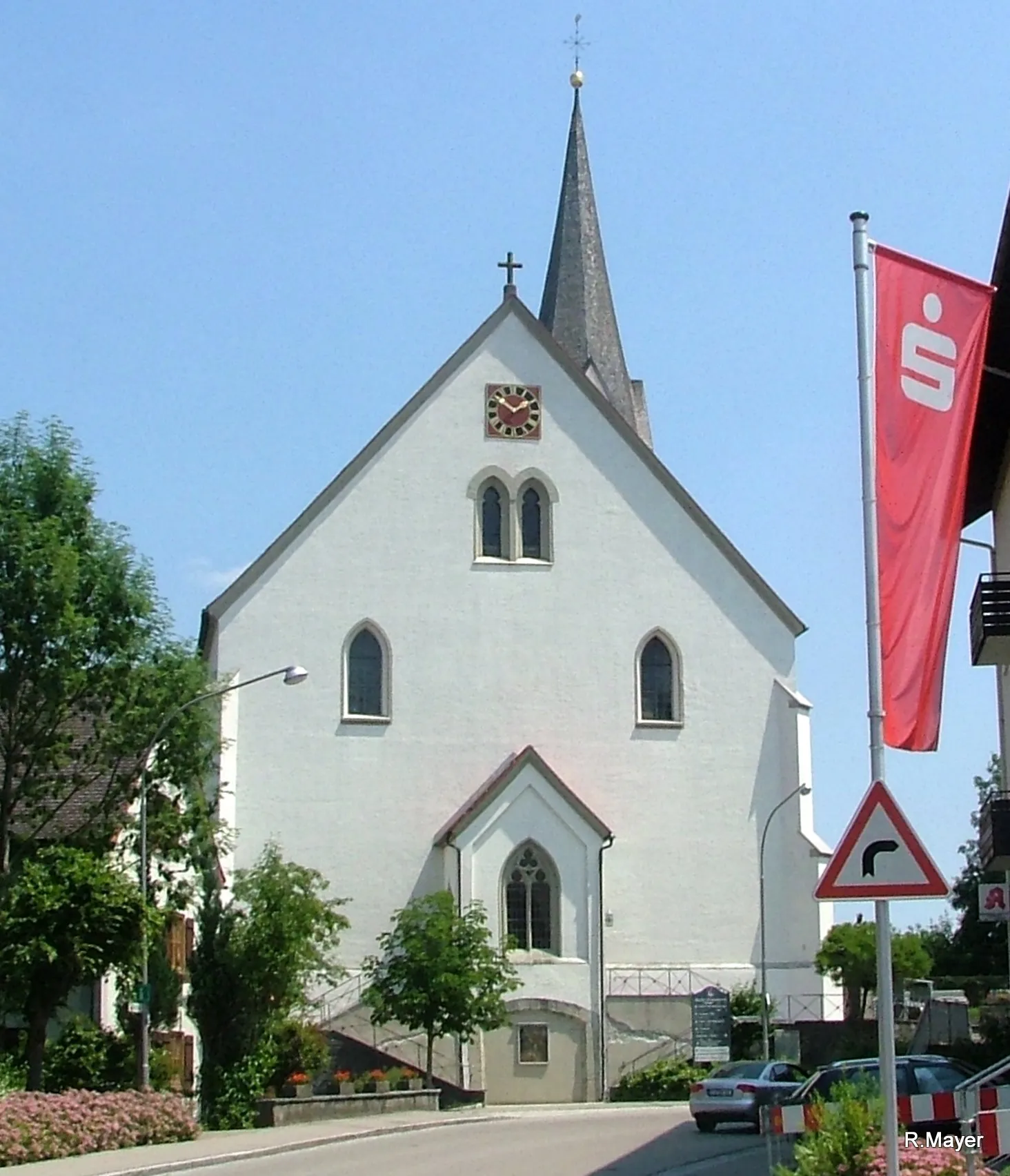
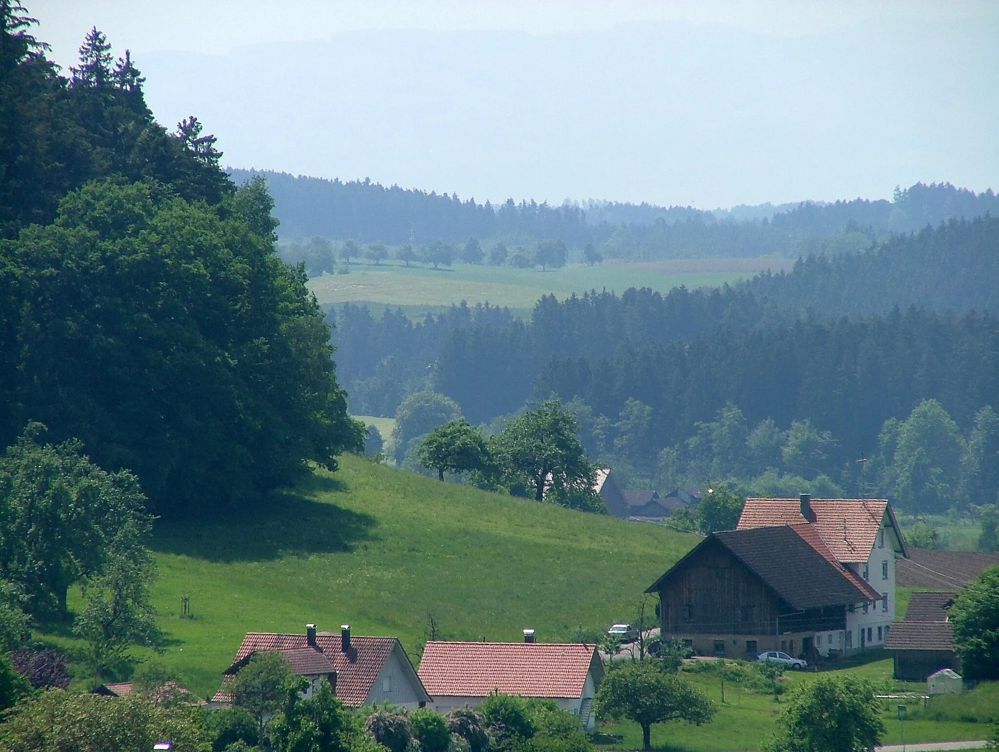
HerlazhofenVillageHerlazhofen is a picturesque village showcasing traditional Allgäu architecture and tranquil atmosphere.
85 km
85 km
Siggener HöheViewpointSiggener Höhe is the highest point of this route, offering stunning panoramic vistas of the Allgäu landscape.
93 km
93 km
Finish: Deuchelried Village centerWangen: Cycling through nature in Tübingen
Cycling routes from Wangen:
Cycling routes nearby: