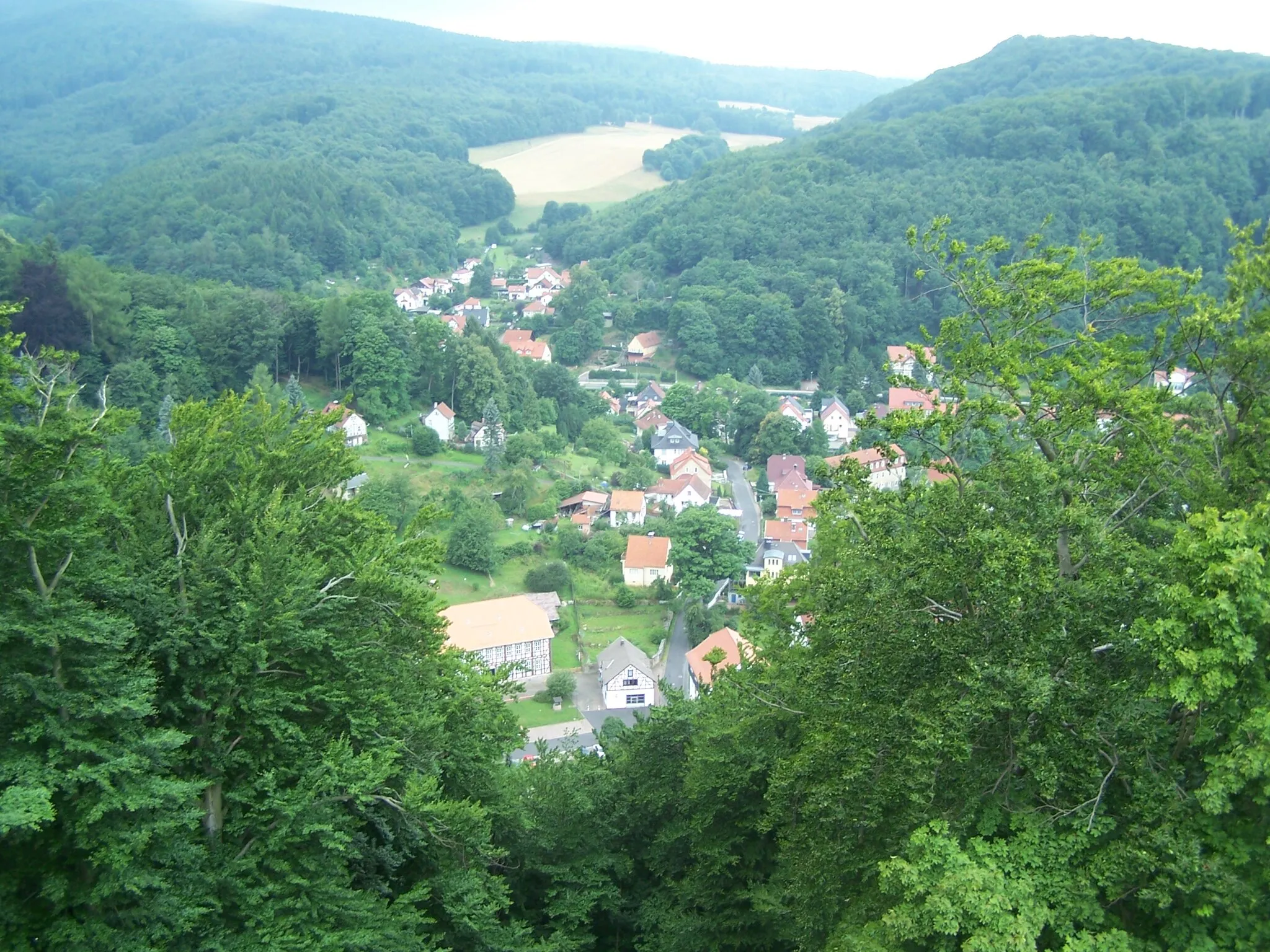
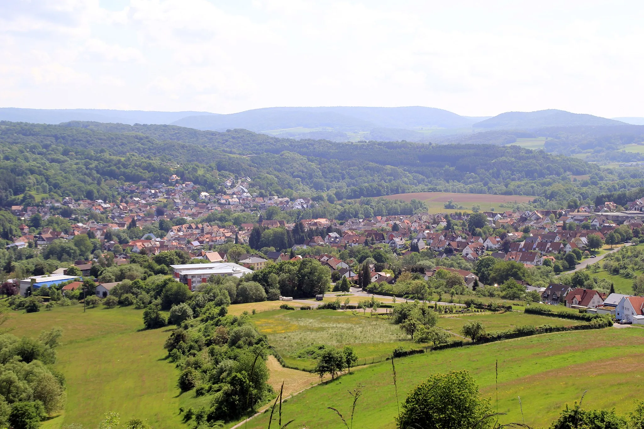
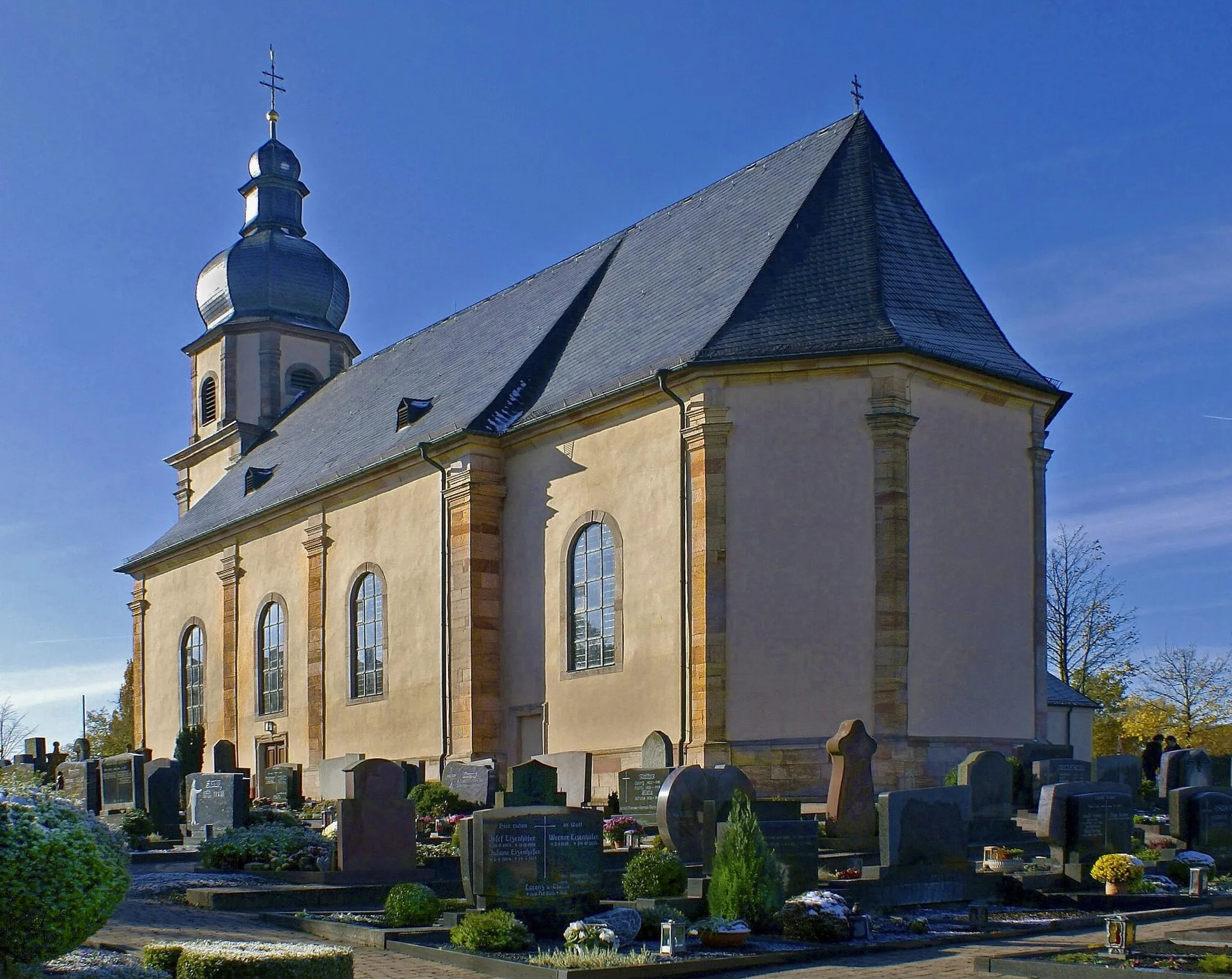
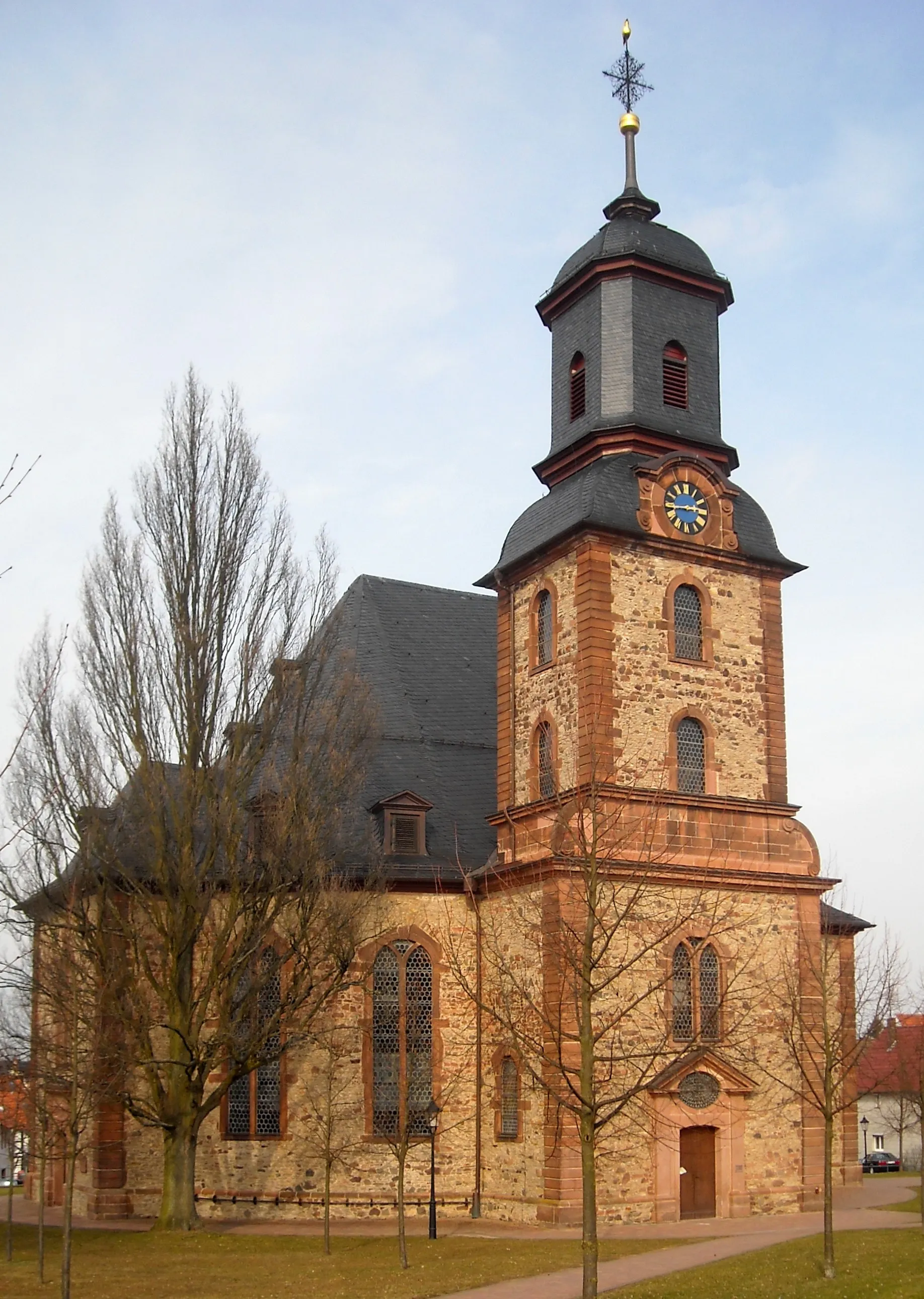
Charming town with access to the Spessart mountain range and surrounding regions.
Cycling routes from Alzenau in Unterfranken
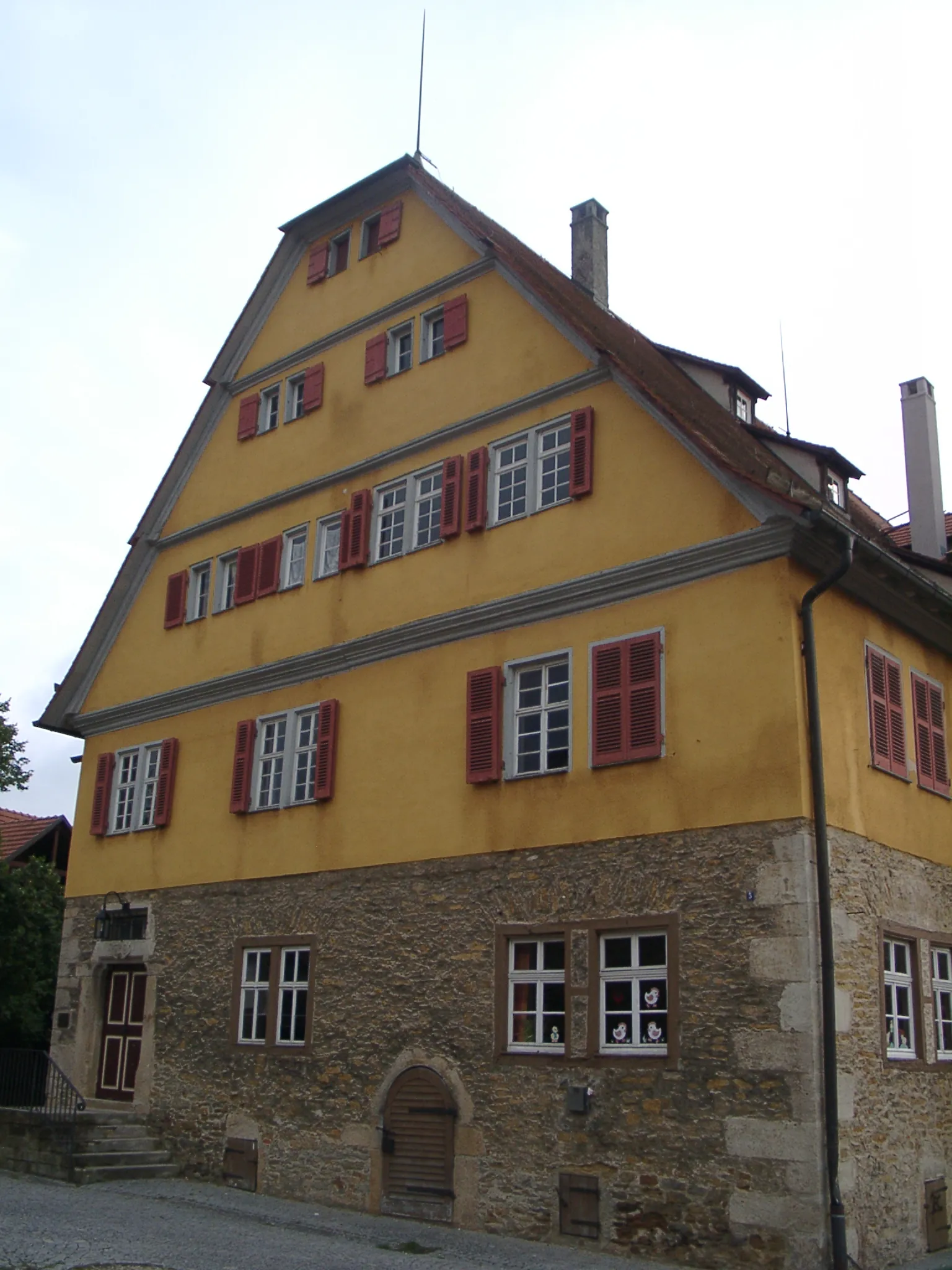
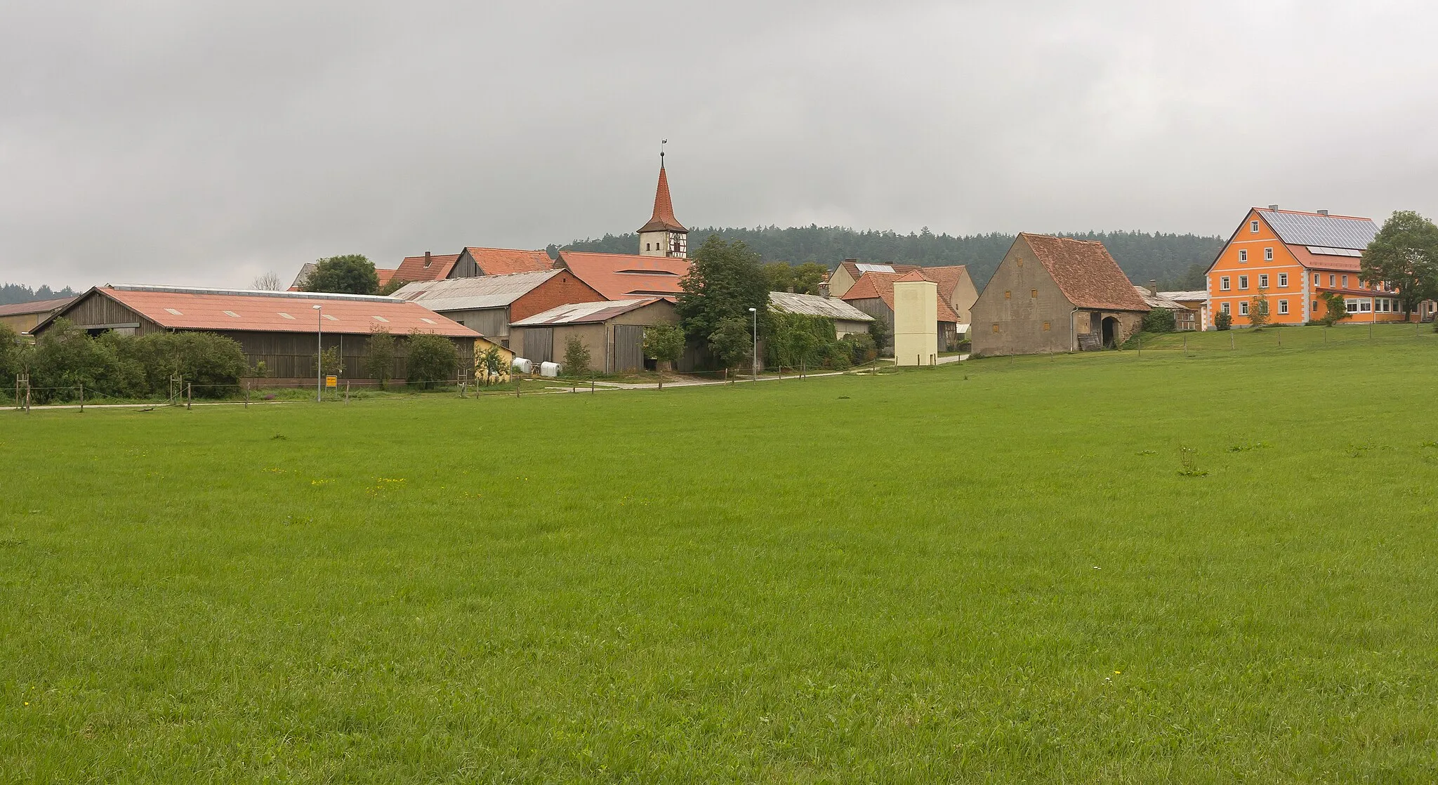
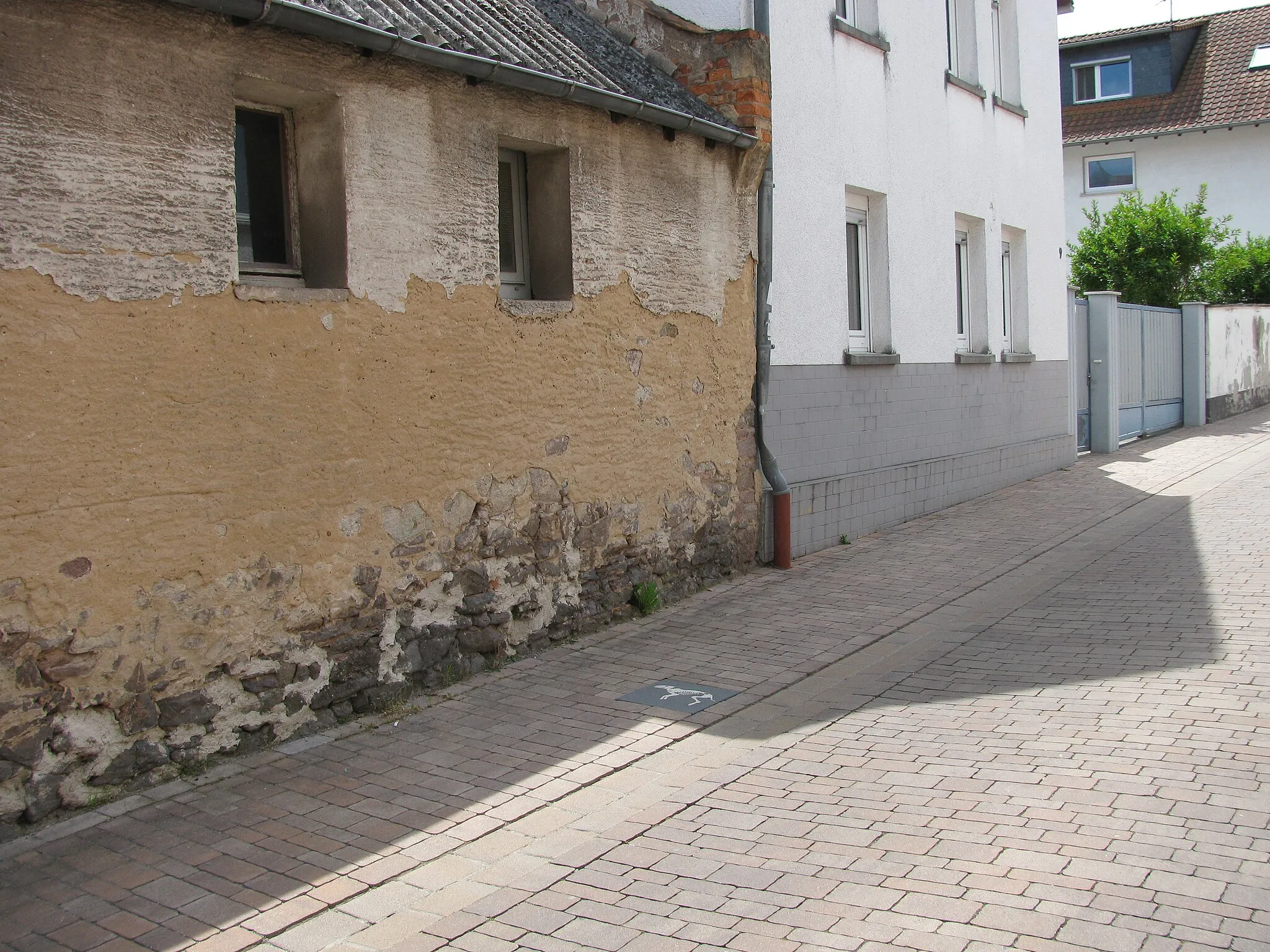
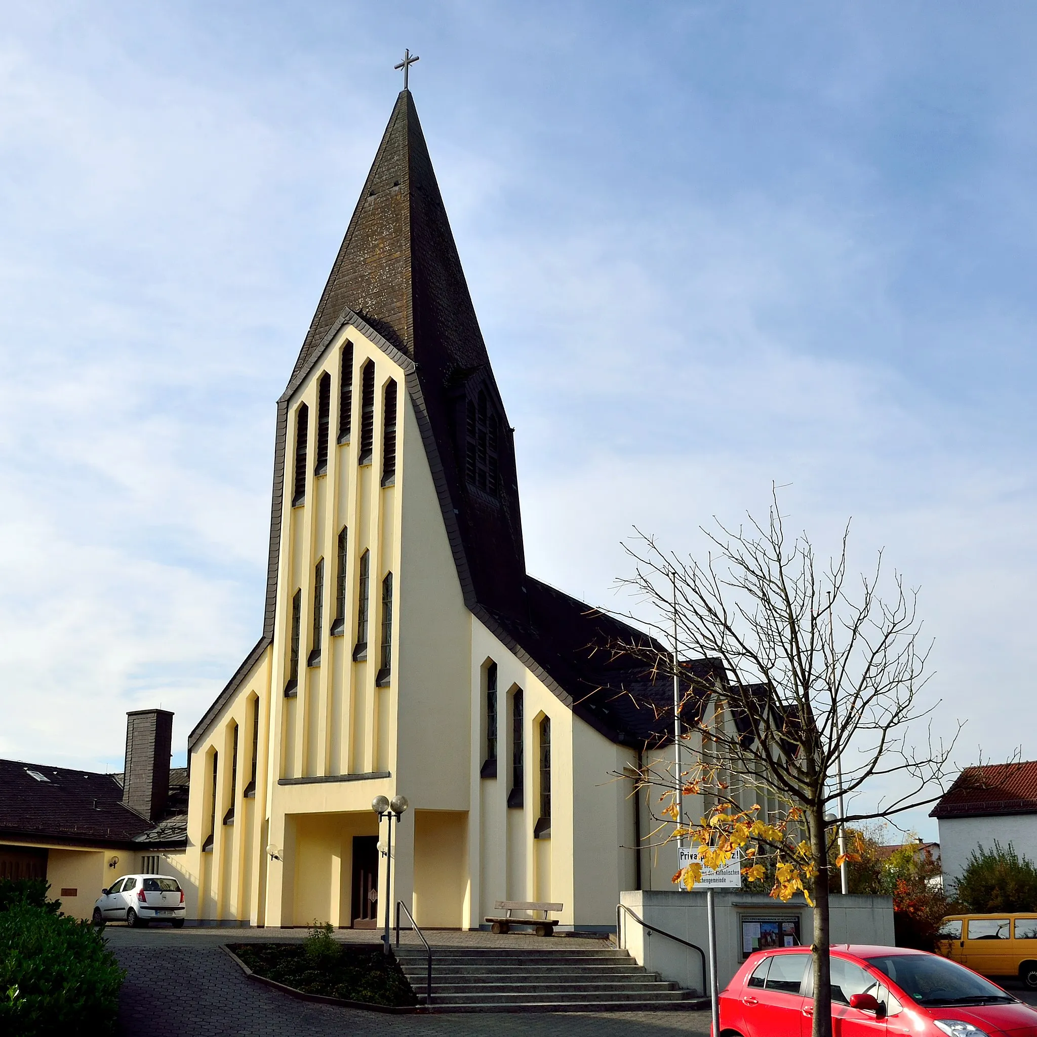
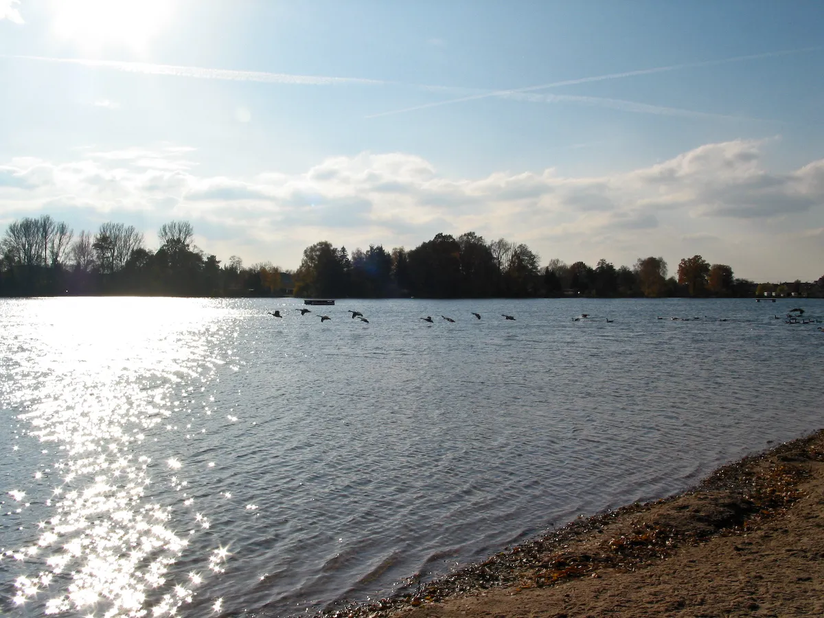
Alzenau in Unterfranken is a small town located in the Unterfranken region of Germany. As a cyclist, you will find Alzenau in Unterfranken to be a charming locality to explore. The roads are decently maintained, and there are several cycling routes that take you through the picturesque countryside. One notable cycling spot nearby is the Spessart mountain range, which offers challenging climbs and beautiful forested landscapes. Alzenau in Unterfranken also serves as a great base for exploring the wider region, including the Main Valley and the historic city of Aschaffenburg. Overall, Alzenau in Unterfranken is a cyclist-friendly locality, with a rating of 3.5.
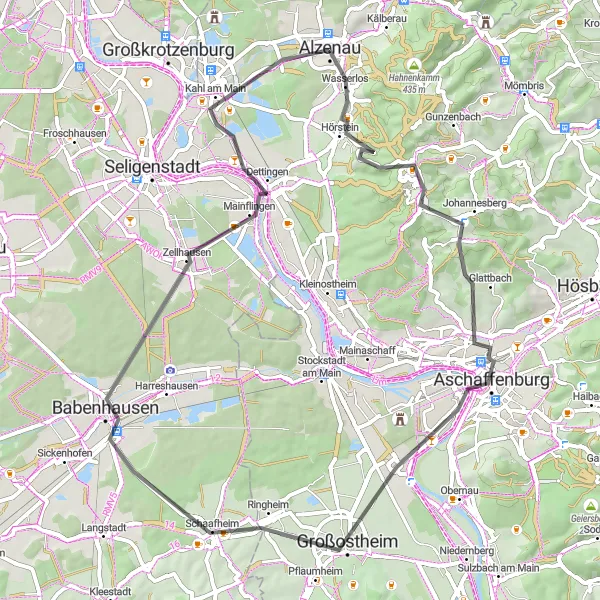
Embark on a scenic gravel route and discover the beauty of Kahl am Main and Aussichtspunkt Wasserbüffel
This picturesque gravel route near Alzenau in Unterfranken covers a distance of 59 kilometers with a total ascent of 354 meters. Enjoy the peaceful surroundings and explore the charming highlights along the way.
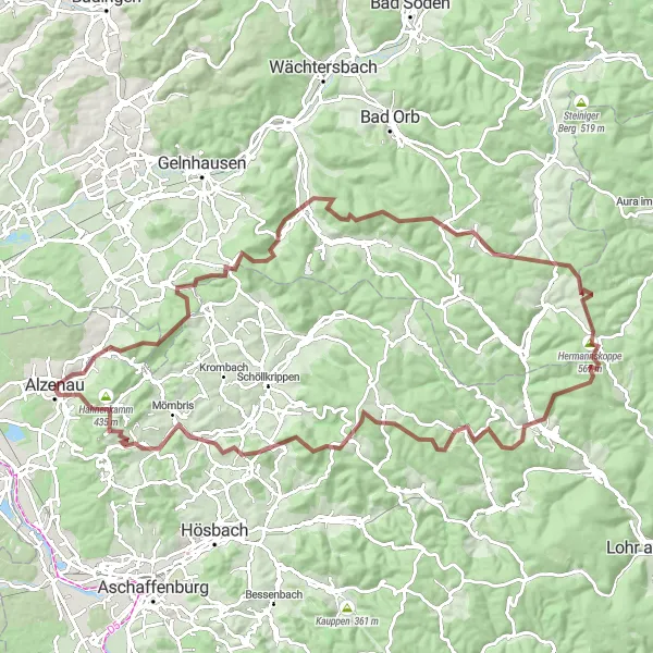
Embark on an adventurous gravel ride and discover hidden gems like Heidkopf and Heinrichsthal
This challenging gravel route near Alzenau in Unterfranken covers a total distance of 85 kilometers with an ascent of 1626 meters. Explore remote trails and picturesque landscapes while enjoying stunning highlights along the way.
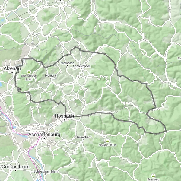
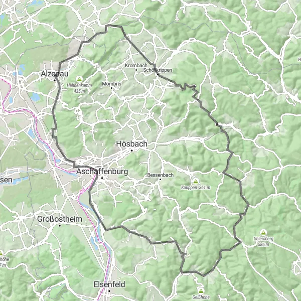
Embark on a thrilling road cycling adventure and explore highlights like Steinrücken and Haag
This challenging road route near Alzenau in Unterfranken covers a total distance of 88 kilometers with a total ascent of 1482 meters. Get ready for an exhilarating ride through scenic landscapes and discover the captivating highlights along the way.
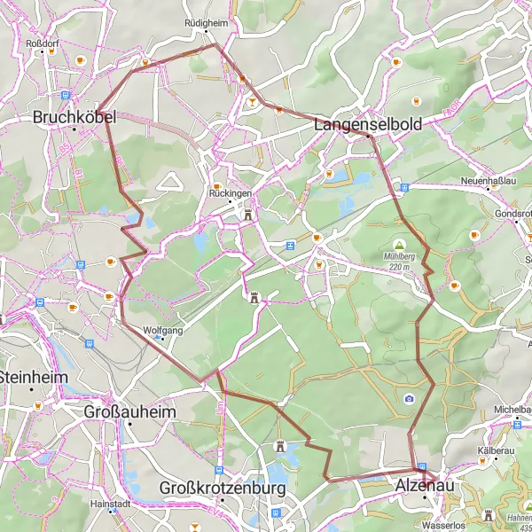
Enjoy a gravel ride with stunning highlights like the Birkenkopf and Schloss Emmerichshofen
This gravel route near Alzenau in Unterfranken offers a challenging ride with a total ascent of 330 meters over a distance of 45 kilometers. Explore beautiful landscapes and enjoy the highlights along the way.
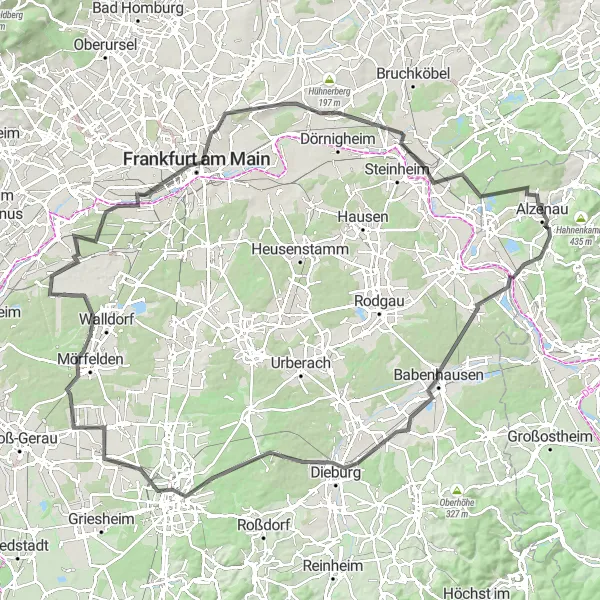
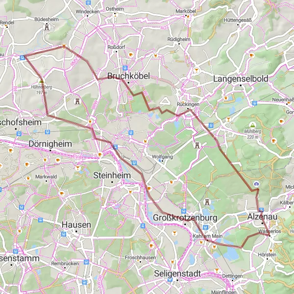
Embark on a road cycling adventure with highlights such as Adamsruh Wasserlos and the iconic Frankfurt skyline
For road cycling enthusiasts, this route near Alzenau in Unterfranken offers a thrilling experience. With a total ascent of 568 meters over a distance of 129 kilometers, you'll pass through beautiful landscapes and iconic landmarks.
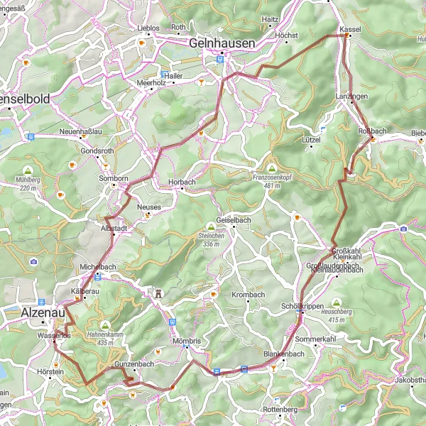
Experience the challenge of Schanzenkopf and enjoy the beauty of Roßbach on this gravel route.
Embark on an invigorating 64 km gravel route starting near Alzenau in Unterfranken. This thrilling ride takes you through diverse landscapes, with the ascent to Schanzenkopf offering adventurous off-road sections and memorable views from the top. Explore the beauty of the Roßbach area, known for its peaceful atmosphere and charming countryside. With 935 meters of ascent, this route provides an exhilarating challenge for gravel enthusiasts seeking stunning natural scenery and exhilarating riding.
Cycle through picturesque villages and breathtaking landscapes near Alzenau in Unterfranken
This round-trip cycling route near Alzenau in Unterfranken takes you through the stunning Steinrücken, Hofstädten, Jakobsthal, Schwarzkopf, Eichhöhe, Weibersbrunn, Kropfschnabel, Eschau, Platte, Bischberg, Mainaschaff, Adamsruh Wasserlos, and then back to Alzenau. The route covers a total distance of 126 km with an ascent of 1687 m. It offers a mix of challenging climbs, beautiful scenery, and interesting highlights.
Embark on a scenic road route featuring the beauty of Alzenau and the challenge of Schwarzkopf.
Set off on a captivating 106 km road route starting near Alzenau in Unterfranken. This scenic ride takes you through beautiful landscapes as you cycle toward Riesenküppel, a stunning hill that dominates the skyline. Explore the natural beauty of Spindelberg and Schwarzkopf, where challenging climbs and panoramic viewpoints await. With 1,445 meters of ascent and a mix of countryside roads, this route offers a thrilling adventure for avid cyclists searching for imposing landmarks and rewarding challenges.
Haag and Kahlauensteg Road Route
An exciting road route featuring the picturesque village of Haag and a scenic bridge, Kahlauensteg.
Embark on a thrilling 58 km road route starting near Alzenau in Unterfranken. This route offers a delightful mix of rural landscapes and cultural highlights, with the charming village of Haag as one of its highlights. Pedal through scenic roads and arrive at the picturesque Kahlauensteg bridge, offering panoramic views of the surrounding natural beauty. With 450 meters of ascent, this scenic route is perfect for cycling enthusiasts seeking noteworthy landmarks and tranquil rural landscapes.
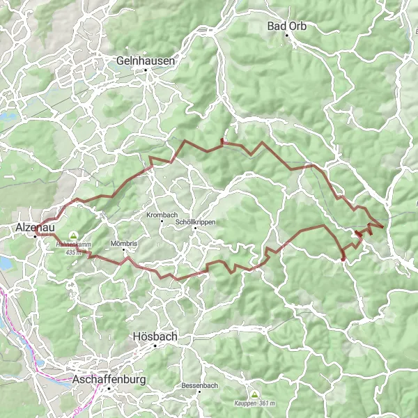
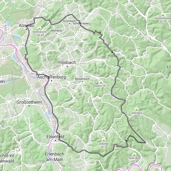
A thrilling gravel route featuring the picturesque village of Michelbach and the challenging climb to Franzosenkopf.
Embark on an exhilarating 103 km gravel route starting near Alzenau in Unterfranken. This route promises stunning views, with highlights including Michelbach, a charming village known for its traditional half-timbered houses, and Franzosenkopf, a challenging climb with breathtaking panoramic views at the top. The route spans 2,293 meters of ascent and offers a unique mix of scenic roads and off-road sections. Prepare to be invigorated by the diverse terrain as you pedal through villages and forests, enjoying the peacefulness of the Unterfranken countryside.
Cycling routes nearby:


Nearby regions: