Kahl am Main and Aussichtspunkt Wasserbüffel Gravel Route
A gravel cycling route starting from Alzenau in Unterfranken
Embark on a scenic gravel route and discover the beauty of Kahl am Main and Aussichtspunkt Wasserbüffel
Map
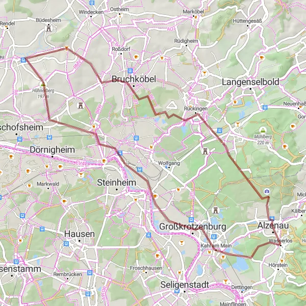
This picturesque gravel route near Alzenau in Unterfranken covers a distance of 59 kilometers with a total ascent of 354 meters. Enjoy the peaceful surroundings and explore the charming highlights along the way.
gravel
59 km
354 m
Tough
Route profile
Highlights on the route
0 km
0 km
Start: Wasserlos Village centerAlzenau in Unterfranken: Charming town with access to the Spessart mountain range and surrounding regions.
Alzenau in Unterfranken is a small town located in the Unterfranken region of Germany. As a cyclist, you will find Alzenau in Unterfranken to be a charming locality to explore. The roads are decently maintained, and there are several cycling routes that take you through the picturesque countryside. One notable cycling spot nearby is the Spessart mountain range, which offers challenging climbs and beautiful forested landscapes. Alzenau in Unterfranken also serves as a great base for exploring the wider region, including the Main Valley and the historic city of Aschaffenburg. Overall, Alzenau in Unterfranken is a cyclist-friendly locality, with a rating of 3.5.5 km
5 km
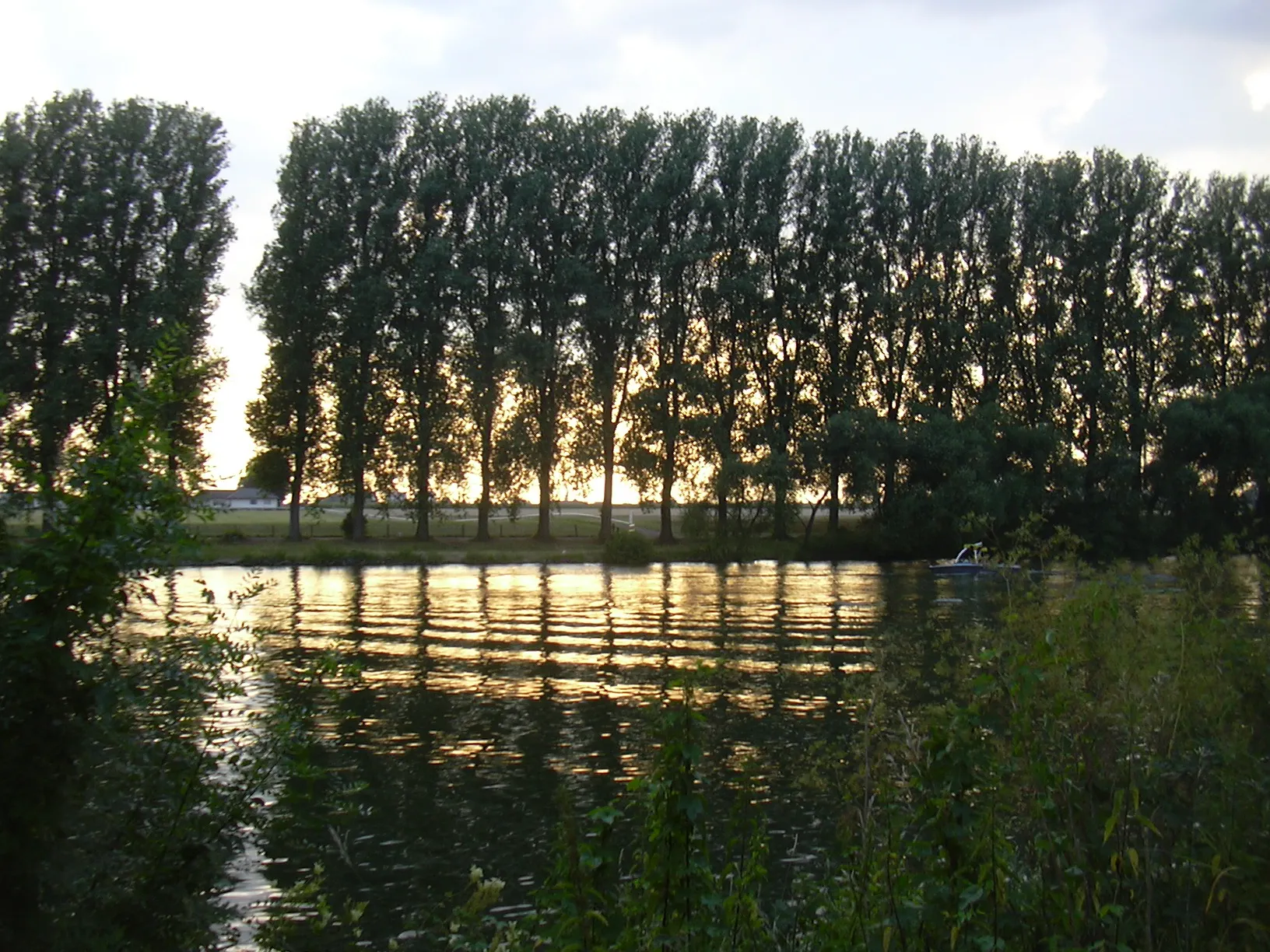
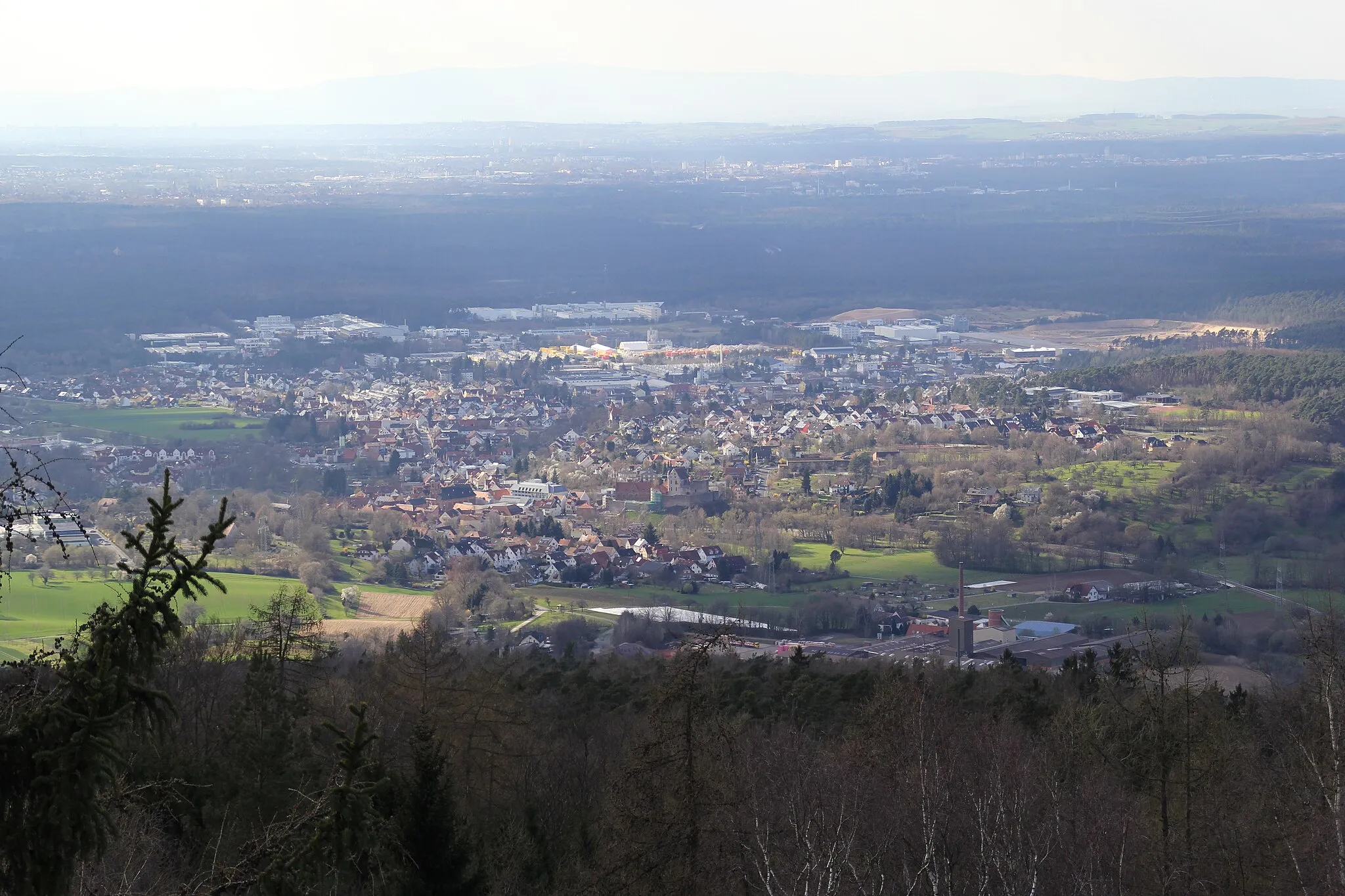
Kahl am MainVillageDiscover the peaceful town of Kahl am Main and its charming riverside promenade
12 km
12 km
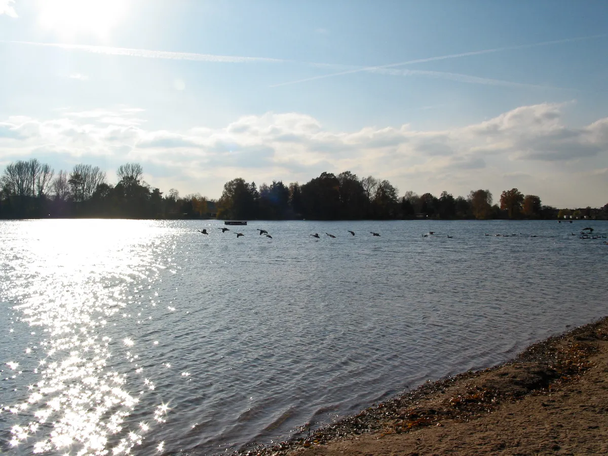
Uferpromenade "Leinpfad"ViewpointTake a relaxing break at the Uferpromenade "Leinpfad" and enjoy the scenic views of the Main River
18 km
18 km
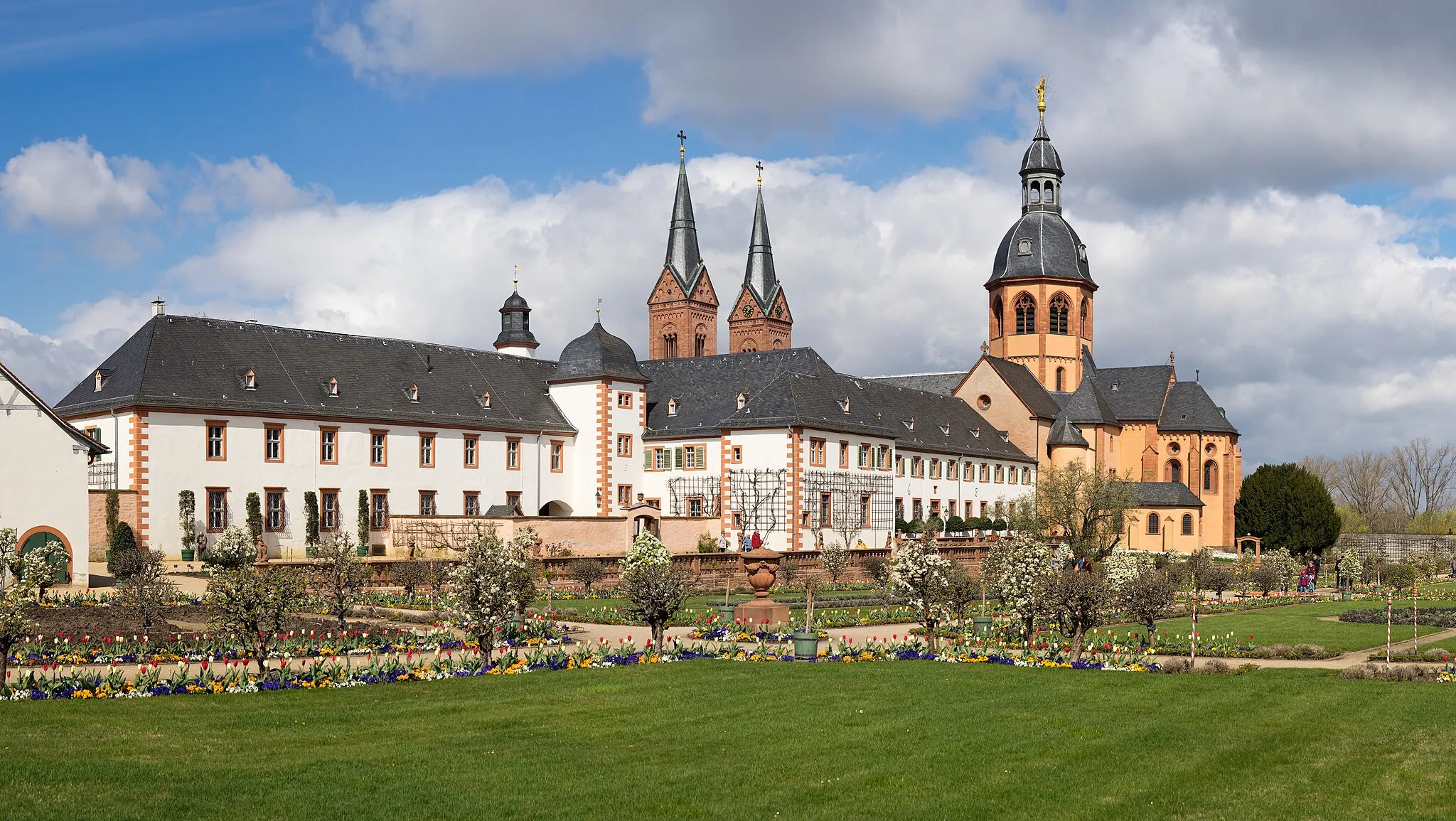
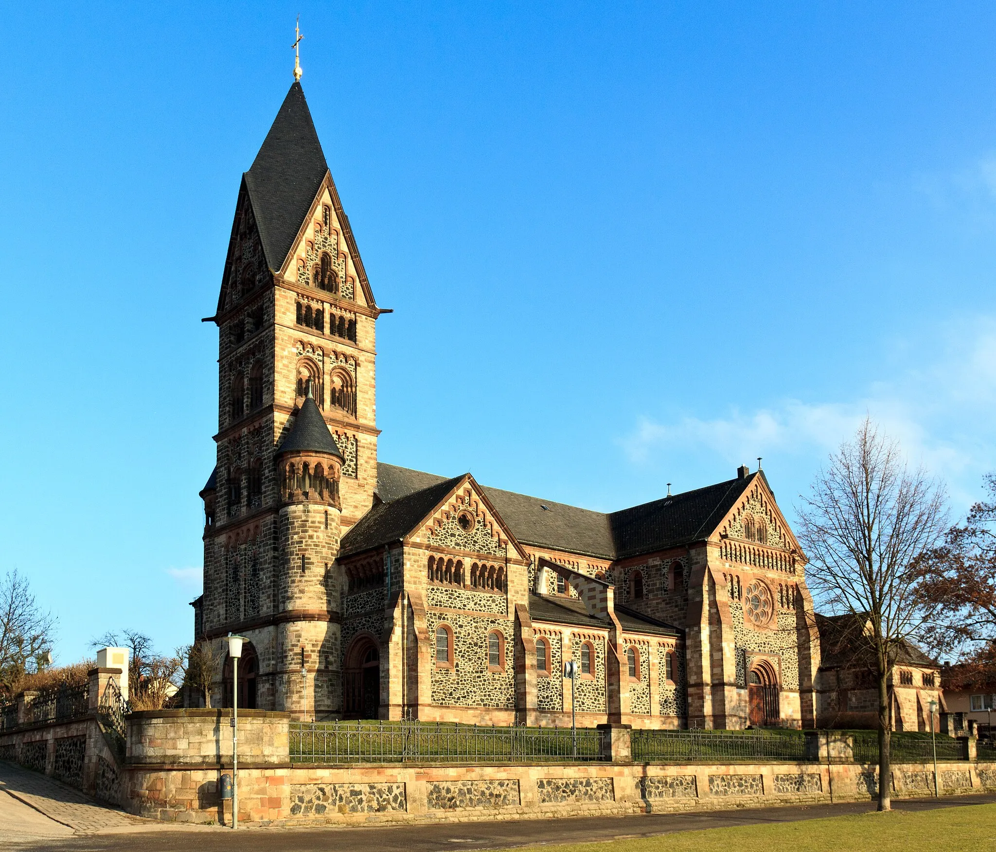
Schloss PhilippsruheCastleVisit Schloss Philippsruhe, a stunning castle overlooking the Main River, and learn about its fascinating history
27 km
27 km
Hühnerberg197 mPeakExperience the beautiful nature of Hühnerberg and enjoy a peaceful hike through the forests
39 km
39 km
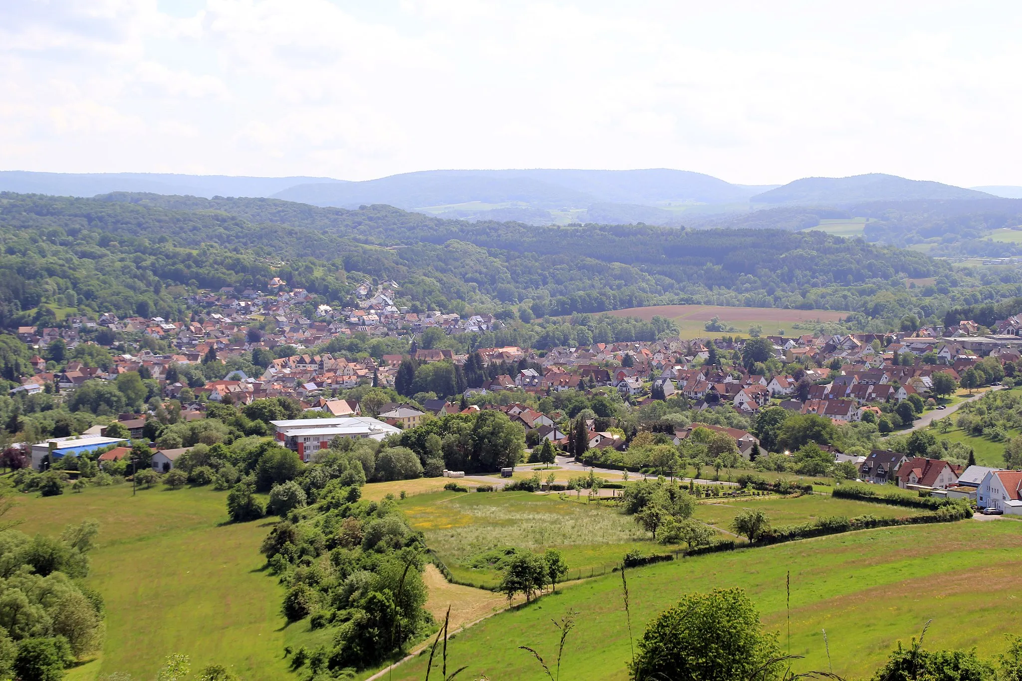
BruchköbelTownMarvel at the historical sites in Bruchköbel, a town with a rich cultural heritage
46 km
46 km
Aussichtspunkt WasserbüffelViewpointDiscover the Aussichtspunkt Wasserbüffel and watch these majestic creatures in their natural habitat
57 km
57 km
KahlauenstegViewpointCross the scenic Kahlauensteg bridge and enjoy the view of the river and surrounding nature
57 km
57 km
AlzenauTownExplore the town of Alzenau and learn about its fascinating history
59 km
59 km
Finish: Wasserlos Village centerAlzenau in Unterfranken: Charming town with access to the Spessart mountain range and surrounding regions.
Cycling routes from Alzenau in Unterfranken:
Birkenkopf and Schloss Emmerichshofen Gravel Route Adamsruh Wasserlos and Frankfurt Road Route Heidkopf and Heinrichsthal Gravel Route Kahl am Main and Aussichtspunkt Wasserbüffel Gravel Route Steinrücken and Haag Road Route Michelbach and Franzosenkopf Gravel Route Haag and Kahlauensteg Road Route Alzenau and Schwarzkopf Road Route Schanzenkopf and Roßbach Gravel Route Alzenau - Steinrücken - Hofstädten - Jakobsthal - Schwarzkopf - Eichhöhe - Weibersbrunn - Kropfschnabel - Eschau - Platte - Bischberg - Mainaschaff - Adamsruh Wasserlos - Alzenau
Cycling routes nearby: