Scenic rides and tranquility in Großwallstadt
Cycling routes from Grosswallstadt
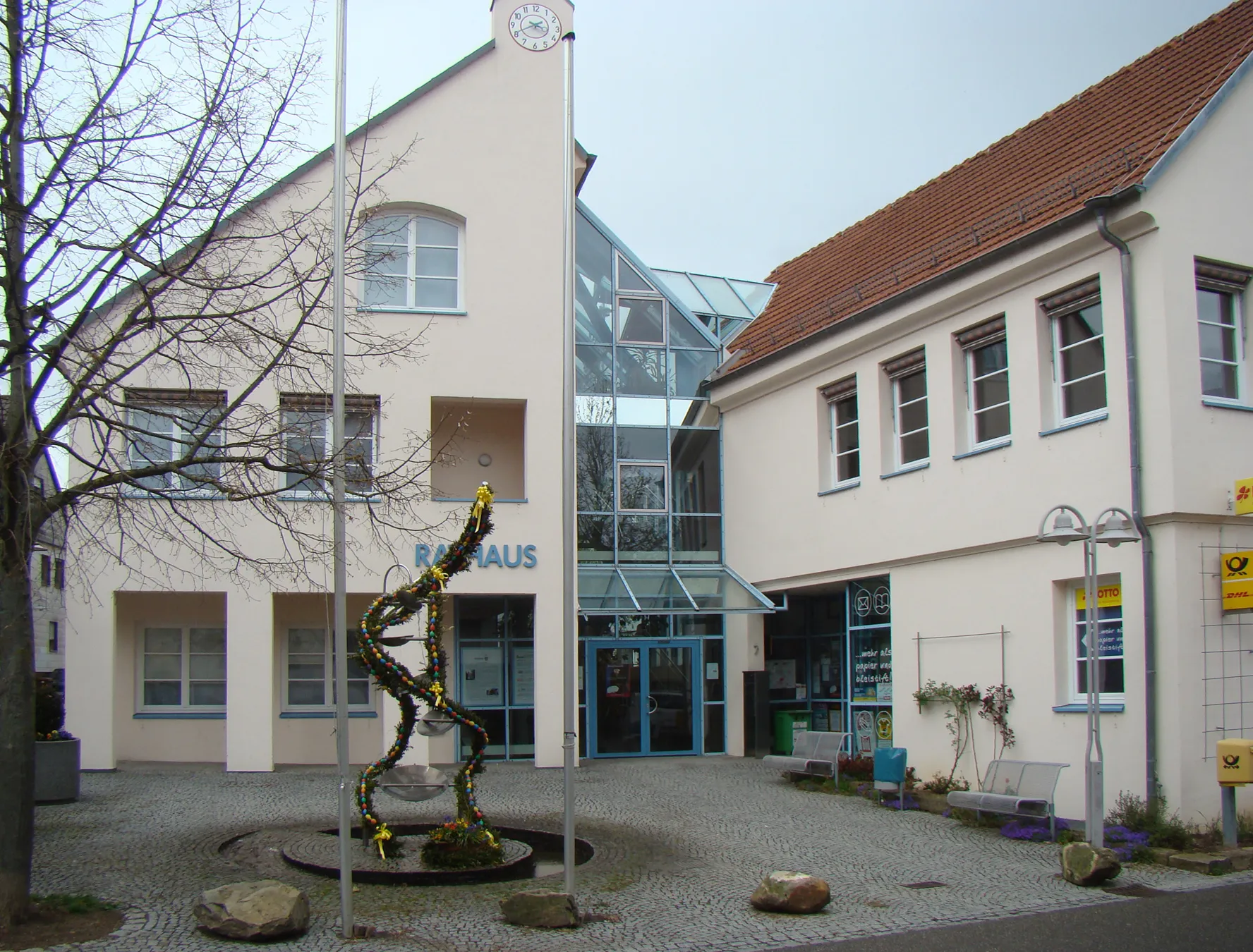
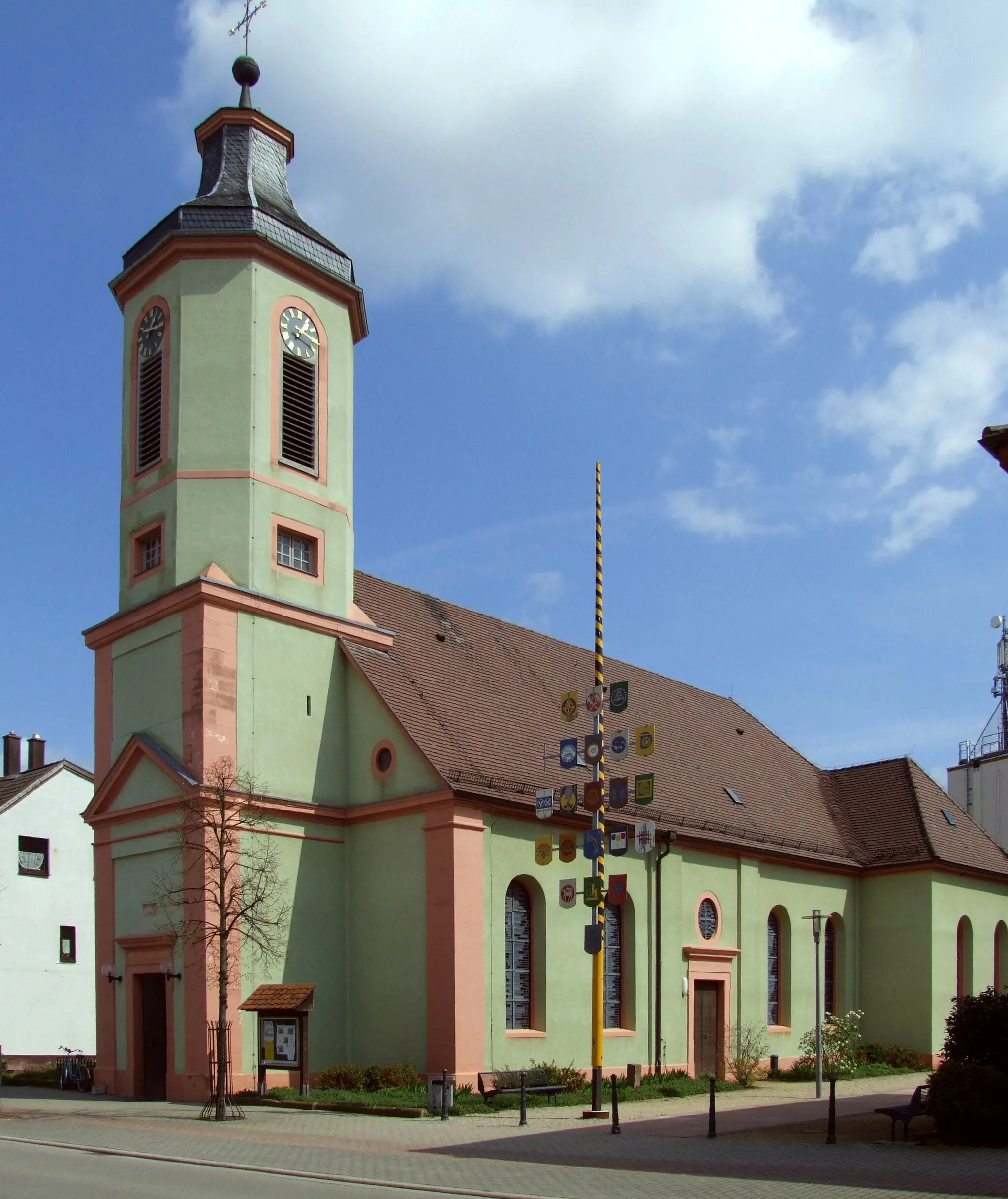
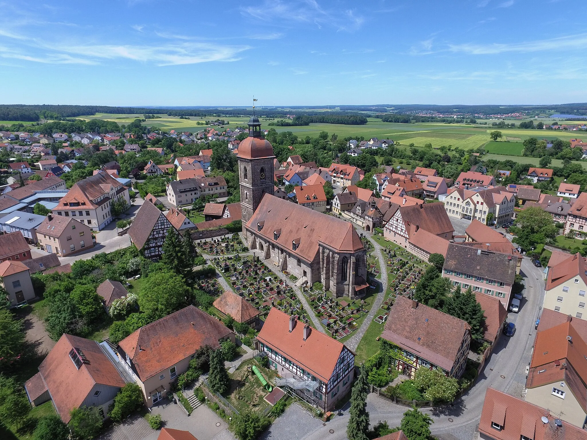
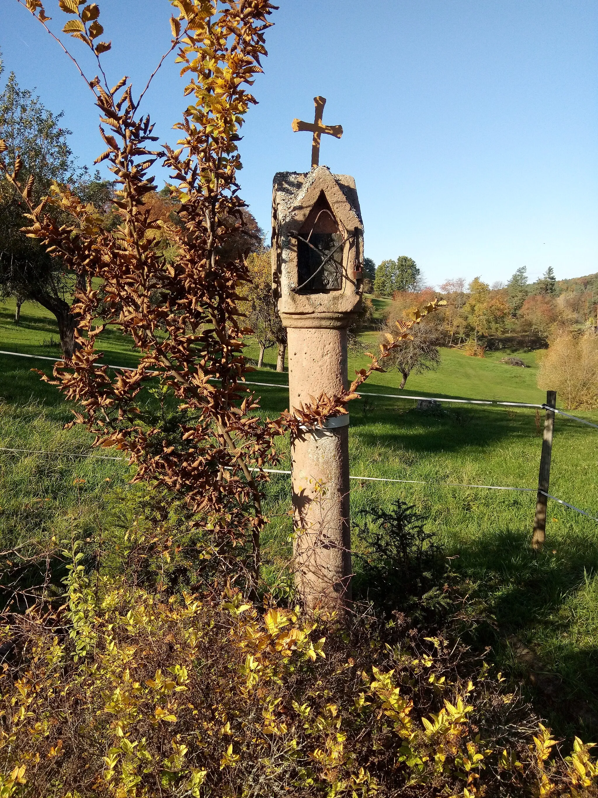
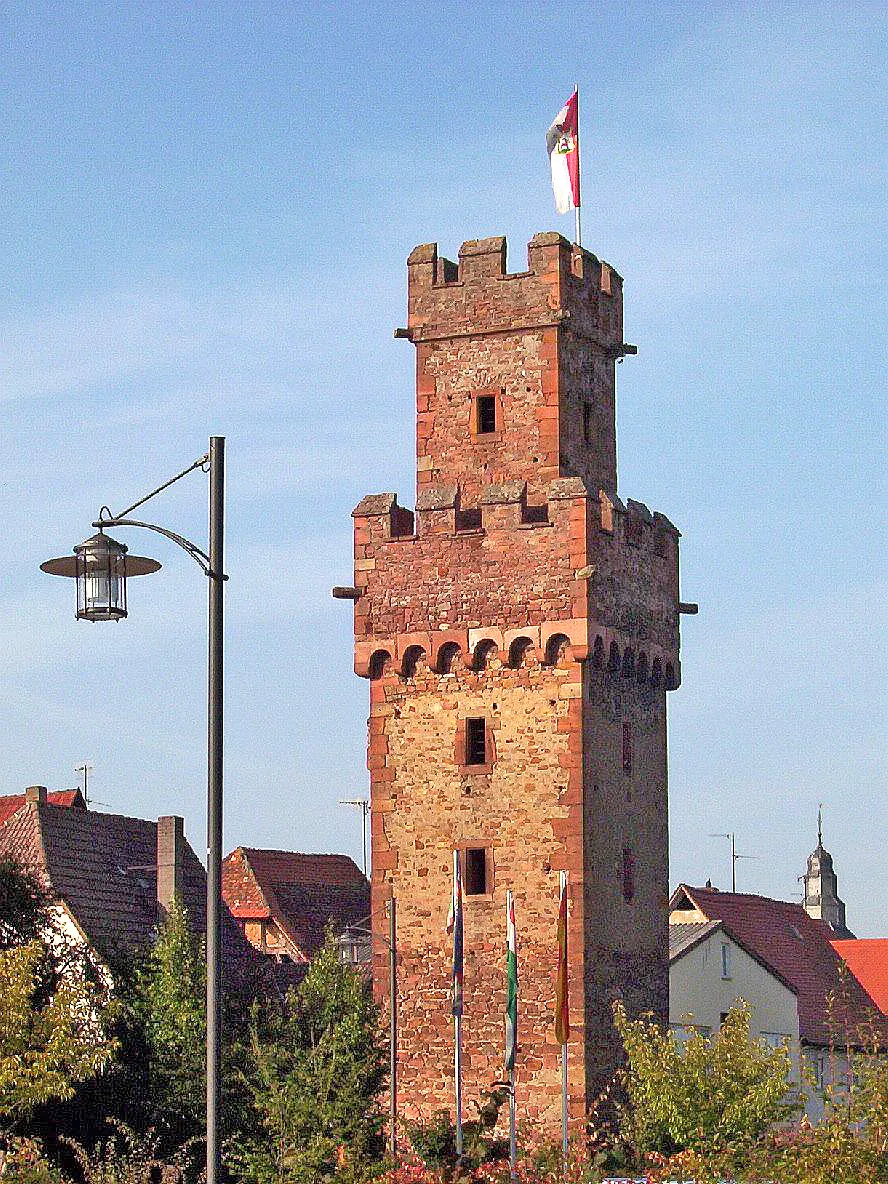
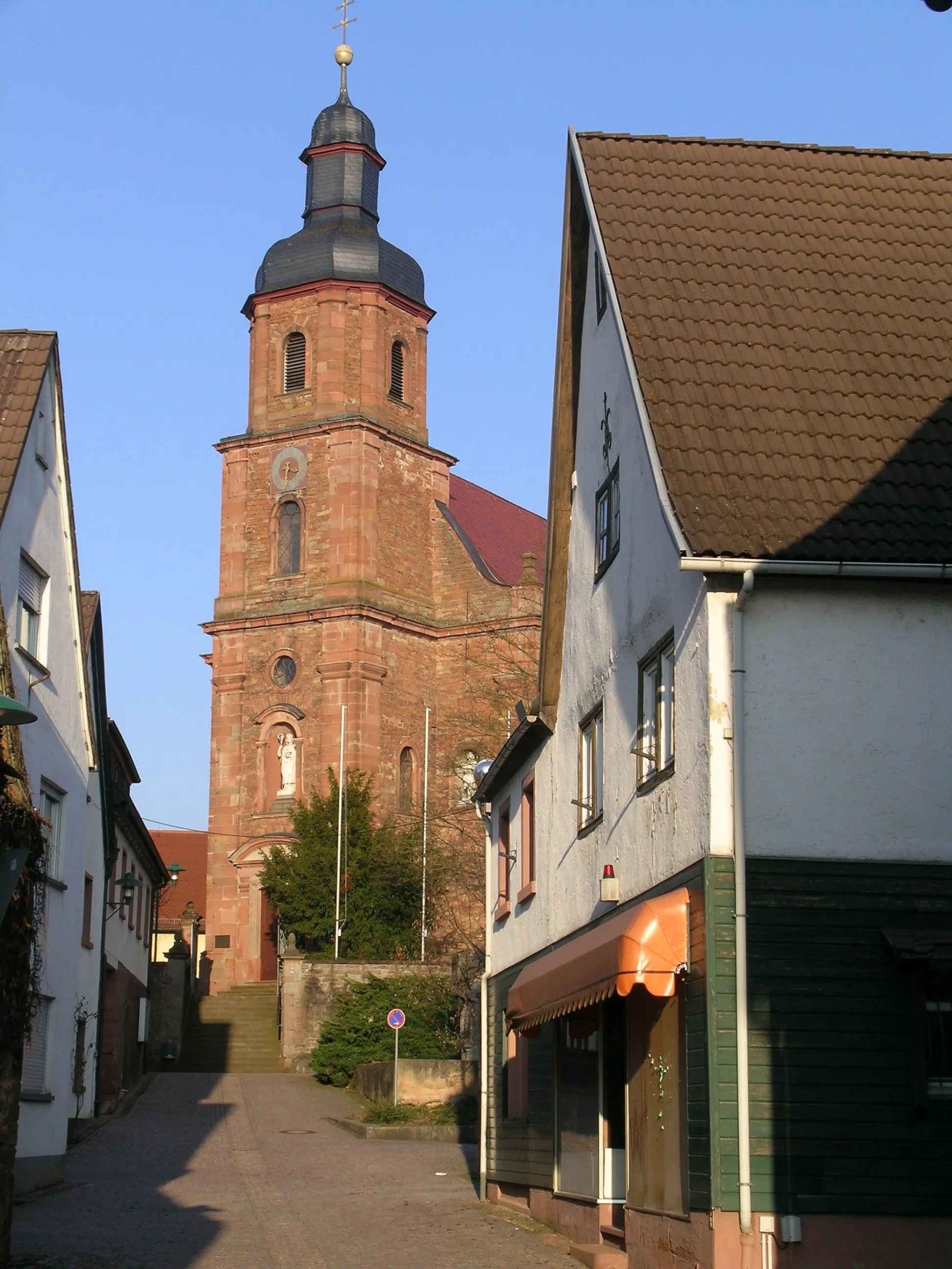
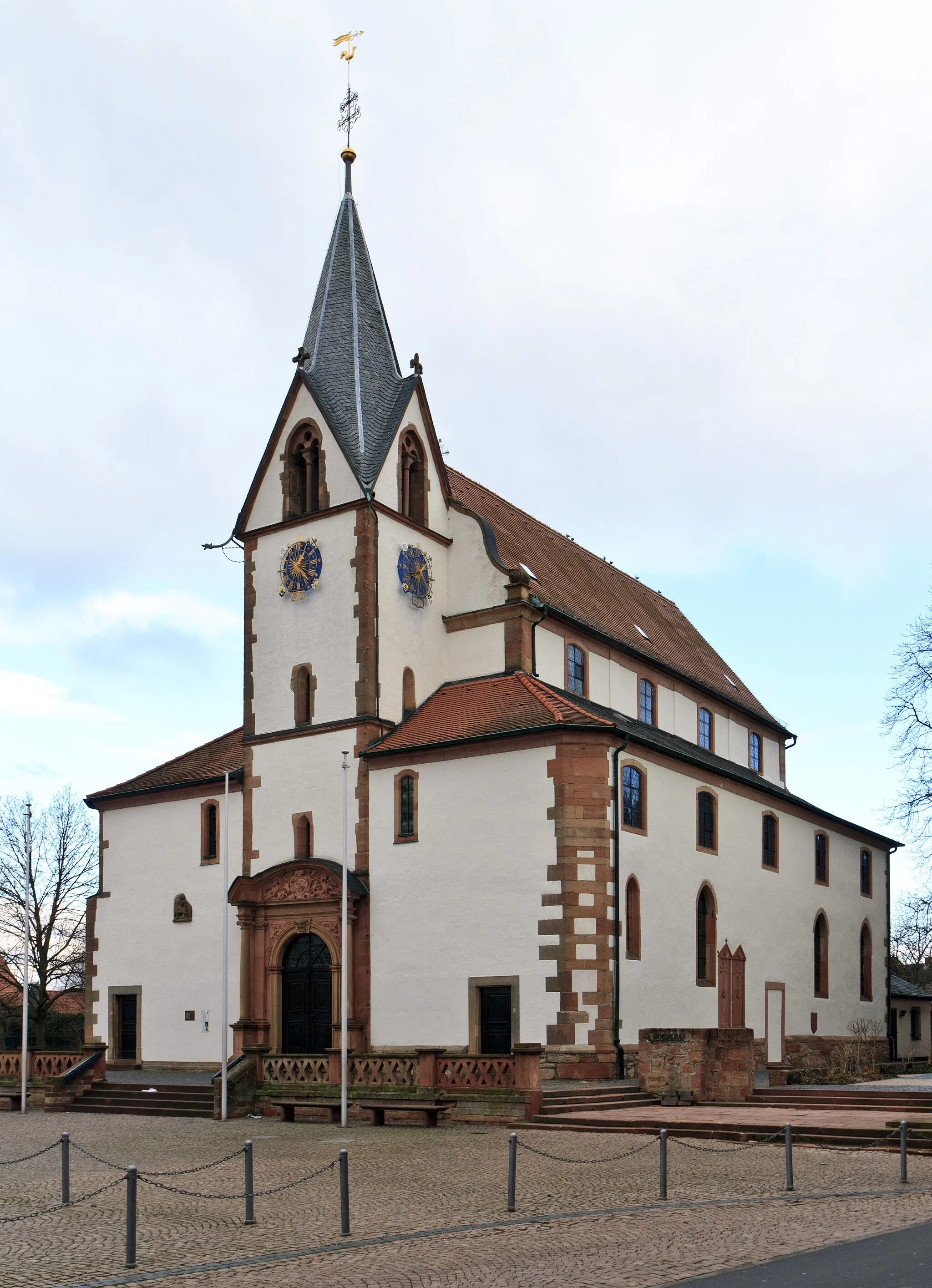
Großwallstadt is a small town located in the Unterfranken region of Germany. From a cyclist's perspective, it offers a mix of scenic routes and quieter roads that are suitable for road and gravel cycling. Cyclists can explore the beautiful landscapes surrounding Großwallstadt, ride along the Main river, or tackle challenging climbs such as Bayerischer Bocksbeutel. Großwallstadt is a great location for cyclists looking to experience the tranquility of the Unterfranken region.
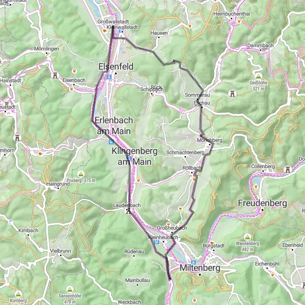
Mömlingen Circuit
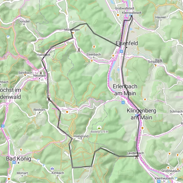
Scenic tour through Mömlingen and surrounds
Enjoy a scenic cycling tour through the charming town of Mömlingen and its surrounding area. This 53-kilometer road route showcases the natural beauty of the region, offering breathtaking views at every turn. With an ascent of 646 meters, this moderate-level ride promises both challenges and rewards. Take in the sights of Erlenbach am Main, a picturesque town famous for its wine production and vineyards. Climb up to Aussichtsturm Klingenberg, a stunning lookout point that provides panoramic views of the surrounding countryside. Discover the historic town of Obernburg am Main, with its well-preserved architecture and unique atmosphere. Mömlingen Circuit guarantees a delightful cycling experience for both nature enthusiasts and history lovers.
Großwallstadt Gravel Adventure
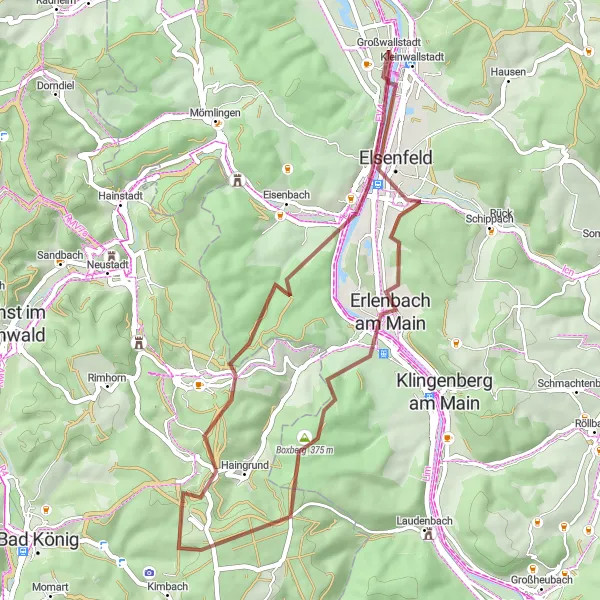
Experience the countryside on an exciting gravel adventure
Embark on an exhilarating gravel adventure through the scenic countryside surrounding Großwallstadt. This 44-kilometer route takes you off the beaten path, immersing you in untouched nature and tranquil landscapes. With a moderate ascent of 550 meters, this gravel ride is suitable for intermediate cyclists looking for a thrilling and scenic adventure. Enjoy breathtaking views from Karlshöhe, a magnificent lookout point offering sweeping vistas of the rolling hills and distant towns. Discover the serene beauty of Boxberg, a peaceful village surrounded by lush green fields and picturesque countryside. Großwallstadt Gravel Adventure promises an unforgettable day of cycling through the idyllic German countryside.
Indulge in scenic splendor while discovering the cultural highlights along the route.
Immerse yourself in the scenic splendor of the Unterfranken region in Lower Franconia with this 61-kilometer gravel round-trip route. With an ascent of 883 meters, this route combines natural beauty with cultural highlights. Explore picturesque villages and historical sites such as Niedernberg, Bischberg, and Sailauf along the way.
Embark on an adventurous gravel ride and discover the beauty of the mountains.
Experience the thrill of an adventurous gravel ride through the mountainous landscapes surrounding Großwallstadt in Unterfranken, Lower Franconia. This 100-kilometer route with an ascent of 1,904 meters offers a challenging yet rewarding journey. Highlights along the way include Niedernberg, Bischberg, and Schloss Mespelbrunn, showcasing the historical and natural beauty of the region.
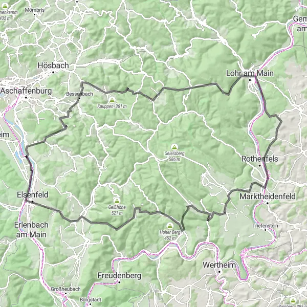
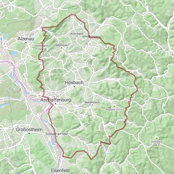
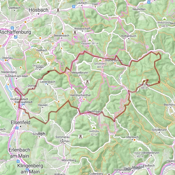
A challenging road cycling route through the Main-Spessart region
The Main-Spessart Hills Challenge is a challenging road cycling route starting near Großwallstadt, Unterfranken, Germany. This 121 km route traverses the scenic hills of the Main-Spessart region, offering a thrilling and demanding cycling experience. The route includes several highlights and offers breathtaking views of the surrounding countryside. It is suitable for well-trained amateur cyclists seeking a difficult and rewarding ride. With an epicness rating of 4, it promises an unforgettable cycling adventure.
Ride through picturesque Unterfranken region
Embark on a scenic cycling journey through the beautiful Unterfranken region of Germany. This loop route takes you along breathtaking roads and offers stunning views of the surrounding countryside. With a total distance of 123 kilometers and an ascent of 1445 meters, this challenging road ride is perfect for experienced cyclists looking for a picturesque adventure. Explore charming villages along the way and indulge in delicious local cuisine. Unterfranken Loop promises an engaging and visually stunning cycling experience.
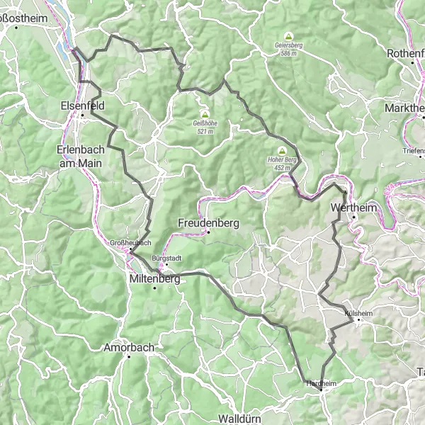
Explore the charming villages and majestic landscapes of Lower Franconia.
This round-trip cycling route takes you through the charming villages and stunning landscapes of Unterfranken in Lower Franconia. With a total distance of 81 kilometers and an ascent of 1,294 meters, this gravel route showcases the historical and natural beauty of the region. The route begins near Großwallstadt, near the banks of the River Main, and takes you through highlights such as Niedernberg and Münchberg.
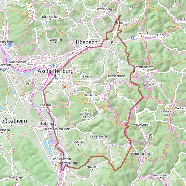
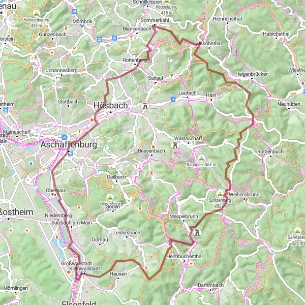
Rural Beauty and Historical Gems
Cycle through the picturesque rural landscapes and discover historical gems along the way.
Embark on a scenic road cycling route through the picturesque rural landscapes of Unterfranken in Lower Franconia. With a total distance of 67 kilometers and an ascent of 1,124 meters, this route offers an immersive countryside experience. Starting near Großwallstadt, the route takes you through highlights such as Benzberg and Laufach, offering a combination of natural beauty and historical gems.
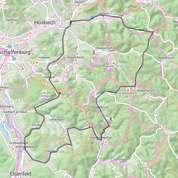
Experience the tranquility of nature and admire the serene heights along this gravel route.
Discover the tranquil beauty of Unterfranken in Lower Franconia with this 81-kilometer gravel cycling route. With an ascent of 1,563 meters, you'll venture through picturesque landscapes and captivating heights. Highlights along the way include Salzleckenhöhe, Weibersbrunn, and Lärchhöhe, allowing you to immerse yourself in serene nature and admire breathtaking panoramic views.
A scenic road cycling route with stunning views
The Heinchsthöhe Loop is a scenic road cycling route starting near Großwallstadt, Unterfranken, Germany. This 55 km route offers stunning views and includes several highlights along the way. The overall difficulty level of this route is moderate, suitable for well-trained amateur cyclists. It offers a great mix of challenging climbs and beautiful countryside scenery. With an epicness rating of 4, it promises a memorable cycling experience.
Cycling routes nearby:


Nearby regions: