Discovering tranquil countryside routes and challenging climbs in Elsenfeld, Germany.
Cycling routes from Elsenfeld
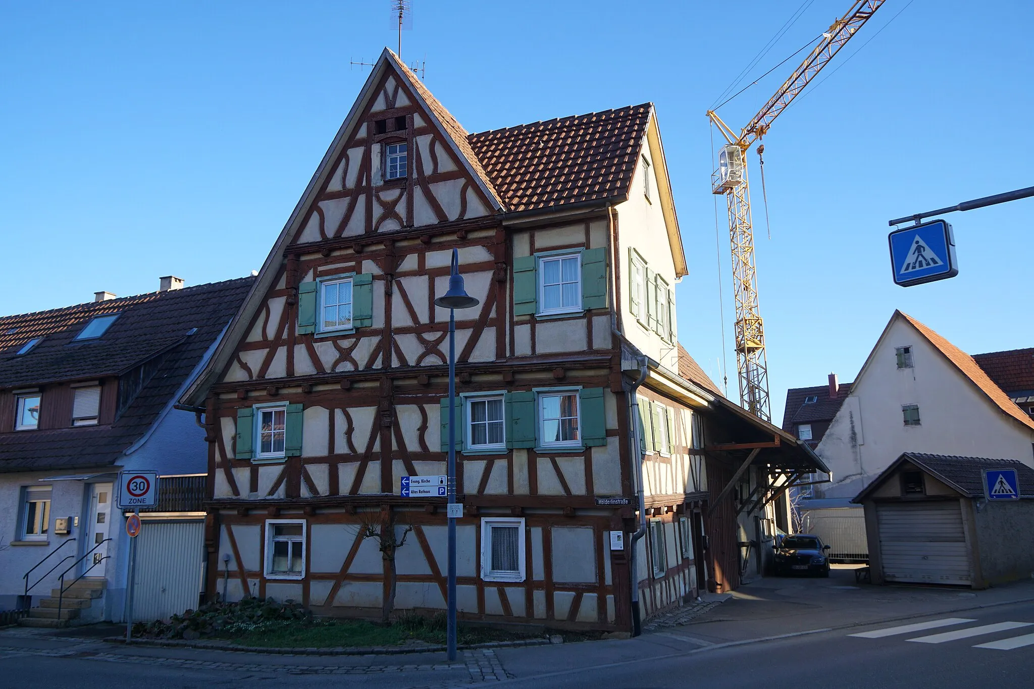
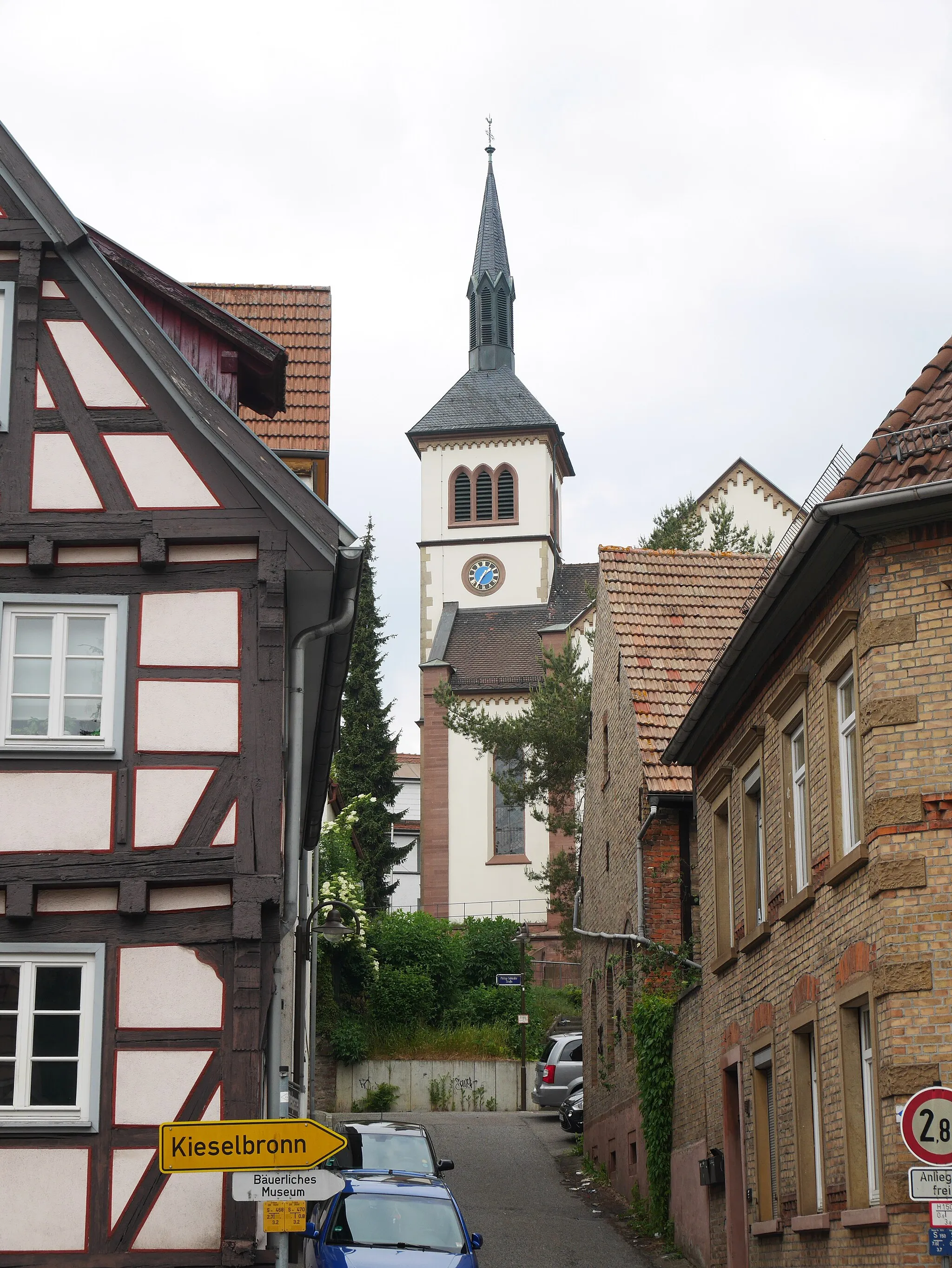
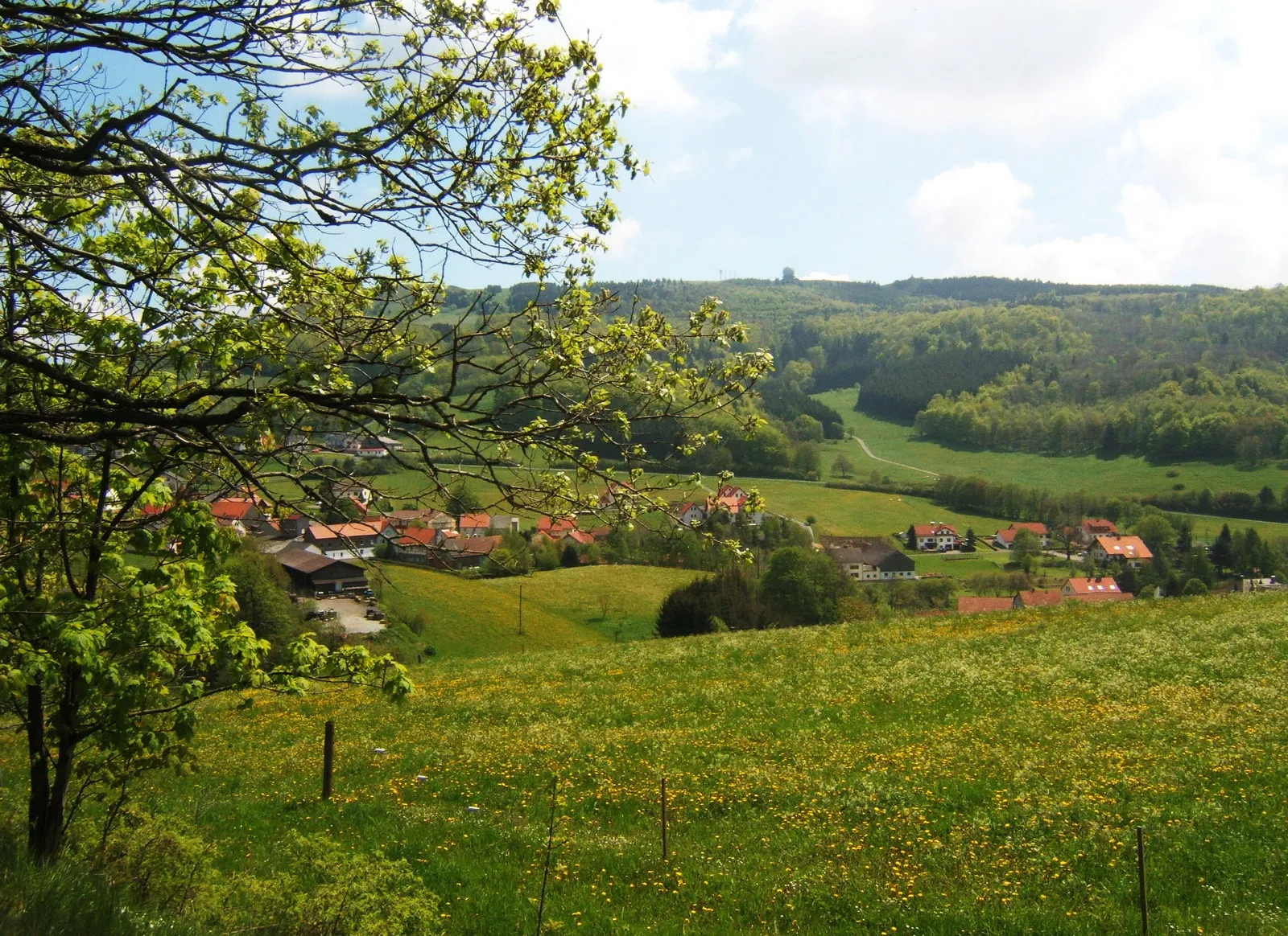
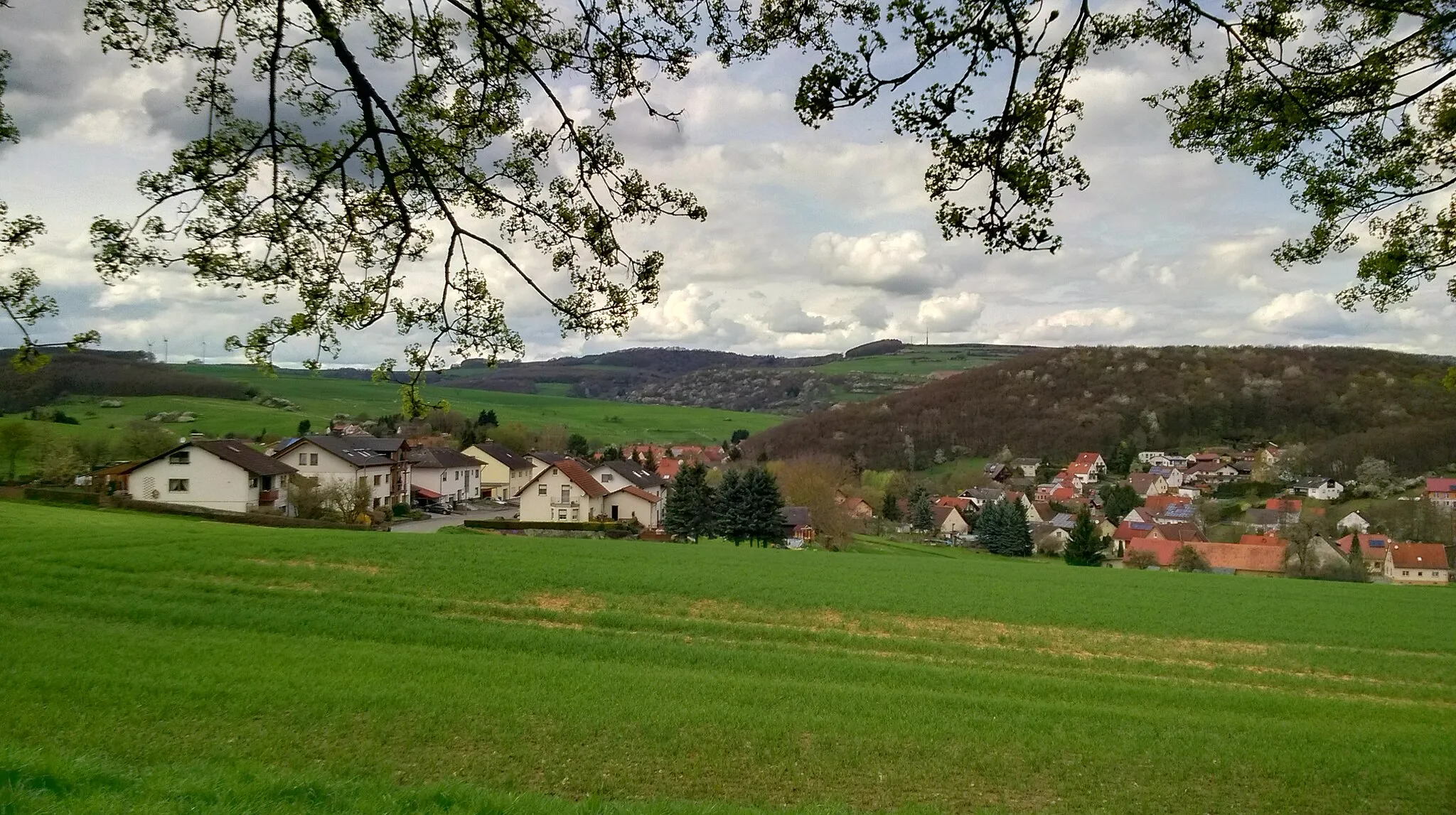
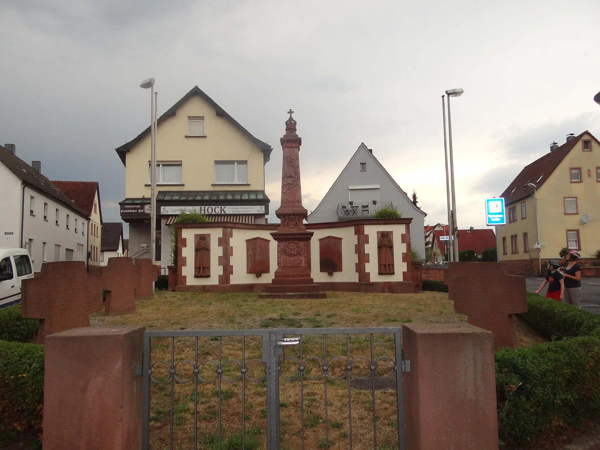
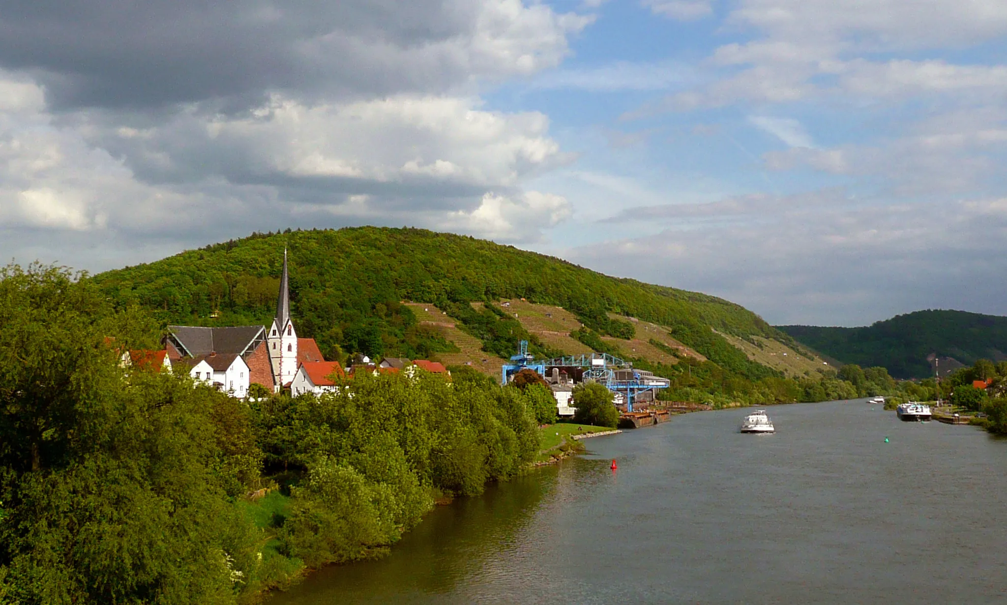
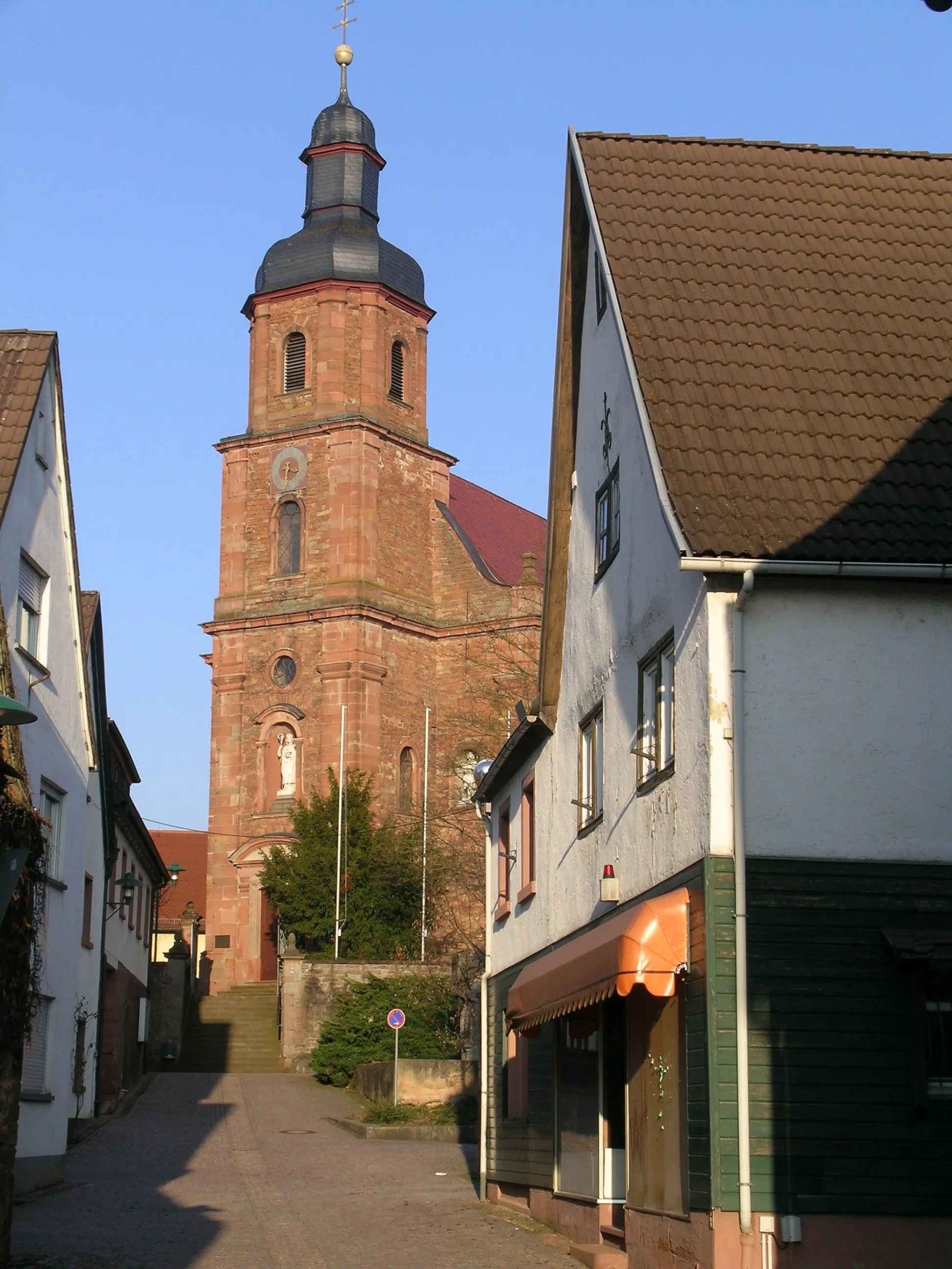
Elsenfeld, located in Unterfranken, Germany, offers diverse cycling opportunities for both road and gravel cyclists. The locality boasts well-maintained roads and gravel paths that wind through scenic landscapes. Elsenfeld provides access to tranquil countryside routes, ideal for those seeking a peaceful cycling experience. Moreover, the nearby Spessart Mountains offer challenging climbs, such as the famous Steinbach Pass, attracting seasoned cyclists and adventurers. With its blend of scenic beauty and challenging terrain, Elsenfeld is a cycling enthusiast's haven.
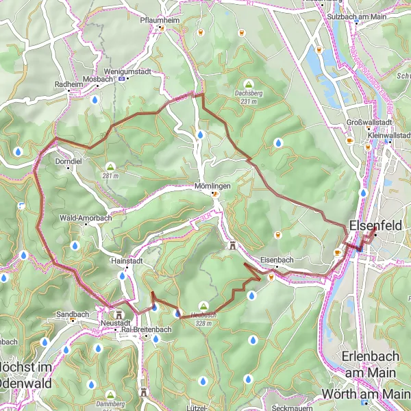
Embark on a scenic gravel exploration with this cycling route
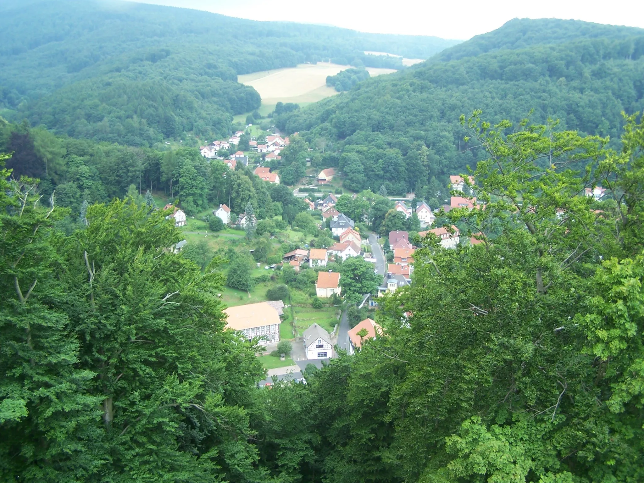
Immerse yourself in the beauty of the region with this scenic gravel cycling route. Starting from Elsenfeld, the route covers a distance of 71 kilometers with an elevation gain of 1066 meters. The terrain is varied, ranging from gravel paths to forest trails, providing a thrilling adventure for gravel enthusiasts. Along the way, you'll pass highlights such as Altes Rathaus and Karlstein am Main, offering a blend of history and natural beauty. Conquer challenging climbs like Schöne Aussicht and Grauer Stein, and be rewarded with breathtaking panoramic views. Make sure to explore Stengerts, a quaint village with traditional half-timbered houses, before finishing your cycling journey in Elsenfeld.
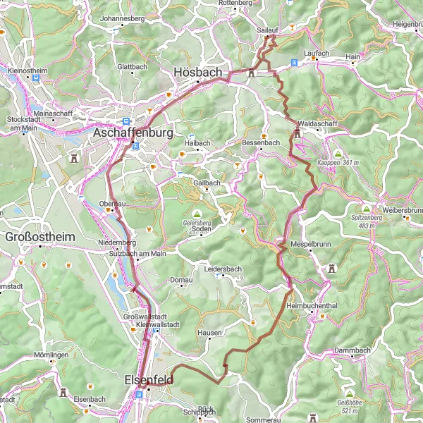
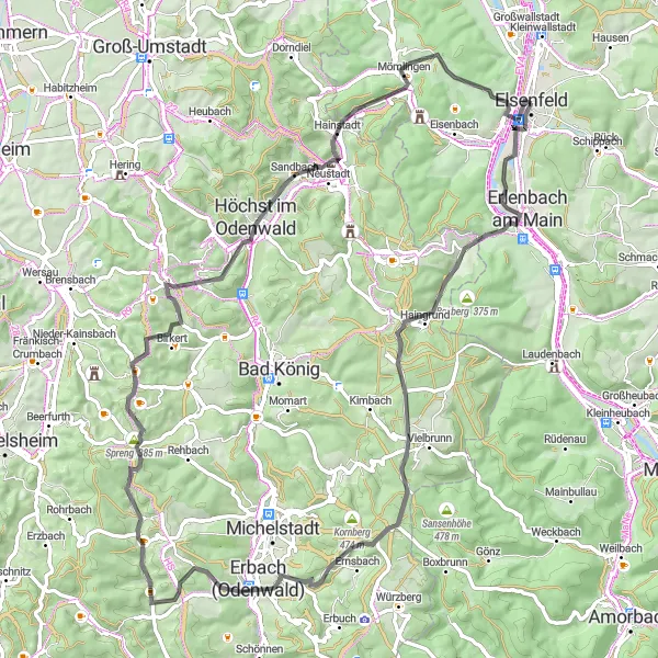
Elsenfeld to Klingenberg Loop
A scenic road cycling route through picturesque towns and beautiful countryside in Unterfranken, Germany.
This 140 km round-trip cycling route starting near Elsenfeld takes you on a scenic journey through the idyllic landscapes of Unterfranken. With a total ascent of 1850 meters, it offers a moderate challenge for well-trained amateur cyclists. The route is predominantly on well-maintained roads, providing a smooth riding experience.
Embark on the ultimate road cycling challenge through Unterfranken's scenic landscapes.
Get ready for the ultimate road cycling challenge in Unterfranken. This 121 km route with an elevation gain of 1435m will push your limits and reward you with stunning vistas, charming villages, and remarkable highlights. From the picturesque village of Heidenberg to the mystical beauty of Vockenrot, this route is a dream come true for avid cyclists seeking an epic adventure. With a difficulty level of 5, this route is only suitable for the most experienced cyclists looking to test their endurance and skills. Get on your road bike and conquer this ultimate challenge in Unterfranken.
Explore the beauty of Obernburg with this gravel cycling route
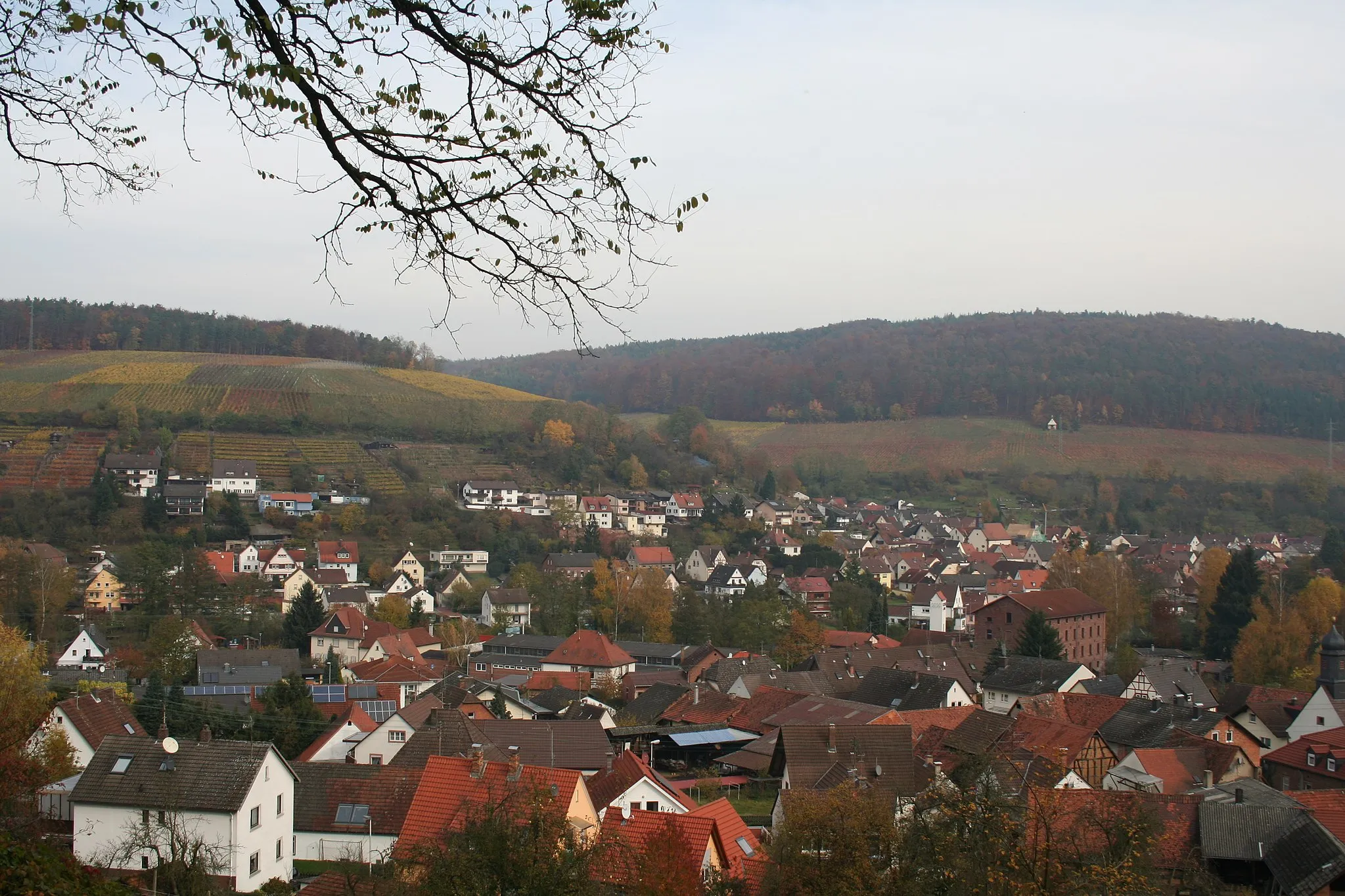
This gravel cycling route takes you on an adventure to Obernburg am Main. With a distance of 40 kilometers and an elevation gain of 598 meters, this route is suitable for intermediate cyclists. Along the way, you'll pass highlights such as Grenzberg and Altes Rathaus, offering a glimpse into the rich history and culture of the region. The terrain is varied, ranging from gravel paths to forest trails, providing an exciting challenge for gravel enthusiasts. Don't forget to take a break and explore Obernburg am Main's charming streets and historical landmarks before hitting the road again.
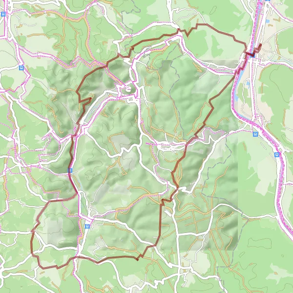
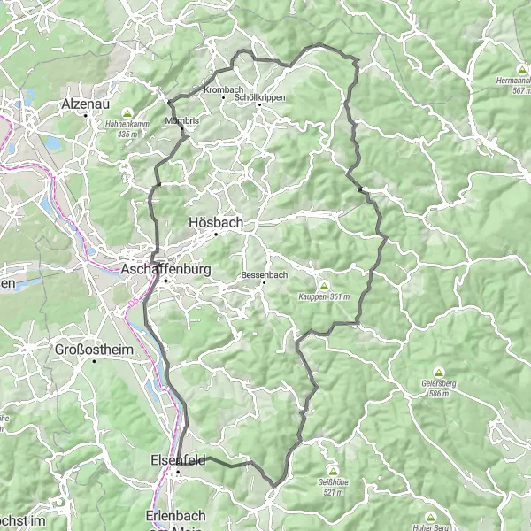
A thrilling gravel cycling route starting from Elsenfeld
This gravel cycling route provides a thrilling adventure for gravel enthusiasts. Starting from Elsenfeld, the route covers a distance of 38 kilometers with an elevation gain of 675 meters. The terrain is varied, ranging from gravel paths to forest trails, providing an exciting challenge for well-equipped cyclists. Along the way, you'll encounter highlights such as Heubusch and Burg Breuberg, showcasing the region's natural beauty and rich history.
Gravel Adventure in Unterfranken
Explore the diverse landscapes of Unterfranken on this challenging gravel route.
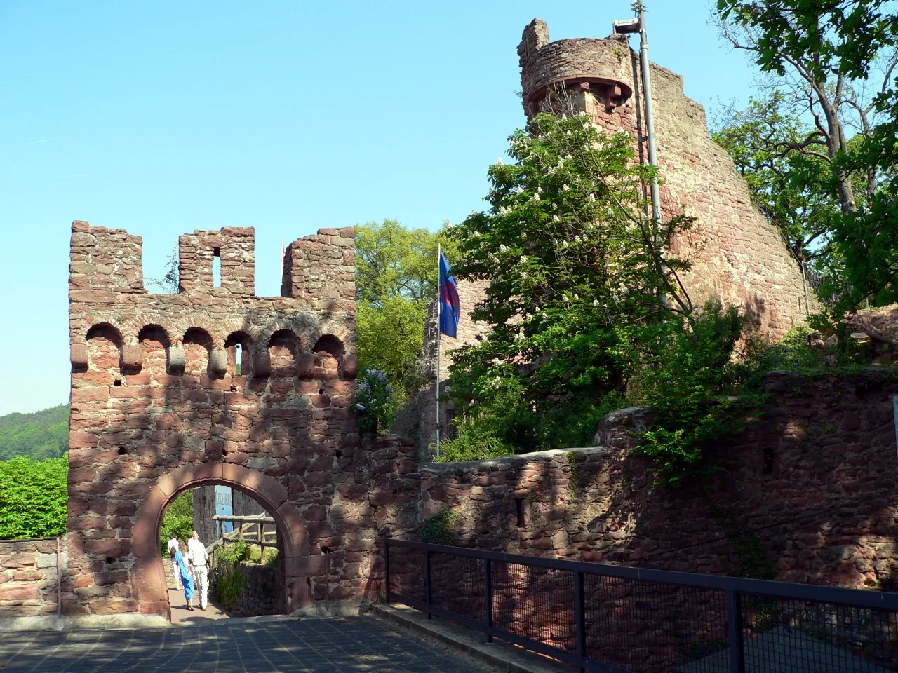
This gravel route in Unterfranken offers a challenging adventure as you explore the diverse landscapes of the region. With a distance of 63 km and an ascent of 883m, you'll be amazed by the scenic beauty along the way. From the historical Großwallstadt to the ruins of the Church of the Holy Sepulchre, this route is packed with highlights that showcase the rich history and natural wonders of Unterfranken. The difficulty level is rated at 4, making it suitable for well-trained amateurs looking for a moderate challenge.
Unterfranken Gravel Odyssey
Embark on an unforgettable gravel odyssey through the stunning landscapes of Unterfranken.
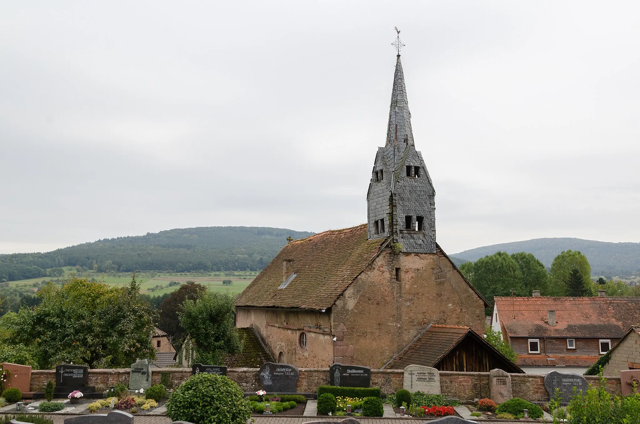
Prepare yourself for an unforgettable gravel adventure through the stunning landscapes of Unterfranken. This challenging route covers 62 km with an ascent of 1200m, taking you through picturesque villages, rolling hills, and captivating natural wonders. From the hidden gem of Sandrain to the fascinating ruins of Zell im Odenwald, this journey is filled with highlights that showcase the diverse beauty of Unterfranken. With a difficulty level of 4, this route is suitable for experienced cyclists who enjoy a challenging but rewarding ride. Grab your gravel bike, embark on this odyssey, and let Unterfranken's natural wonders mesmerize you.
Embark on a thrilling road cycling adventure through Unterfranken's stunning landscapes.
Experience the thrill of road cycling through Unterfranken with this epic route. Stretching for 84 km and featuring an elevation gain of 719m, this route offers a challenging yet rewarding experience. From the enchanting town of Wörth am Main to the awe-inspiring Gotthardsturm, this route is filled with exciting highlights that showcase the best of Unterfranken's natural and cultural attractions. With a difficulty level of 3, this route is suitable for experienced cyclists looking for a moderate challenge. So hop on your road bike, soak in the breathtaking views, and embrace the adventure of cycling in Unterfranken.
Main River Road Ride
Discover the scenic beauty along the Main River with this road cycling route
Embark on a road cycling adventure along the Main River with this scenic route. Starting from Elsenbach am Main, the route covers a distance of 80 kilometers with an elevation gain of 1234 meters. Pass through charming towns like Erlenbach am Main and Mömlingen, experiencing the local culture and architecture. Don't miss the opportunity to spot Mufflons, a type of wild sheep, along the route. Explore the historic town of Breuberg with its impressive castle and picturesque surroundings. Finish your journey with a ride along the Main River, enjoying the tranquil landscapes before returning to Elsenfeld.
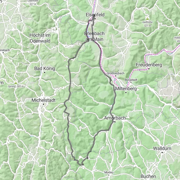
Elsenfeld to Bischberg Loop
A scenic road cycling route from Elsenfeld to Bischberg
This road cycling route takes you from Elsenfeld to Bischberg, offering beautiful scenery and challenging climbs. With a total distance of 100 kilometers and an elevation gain of 1468 meters, this route is suitable for well-trained amateur cyclists. Along the way, you'll pass highlights such as Schloss Johannisburg and Mespelbrunn, offering a glimpse into Bavaria's rich history and architecture.
Cycling routes nearby:
Nearby regions: