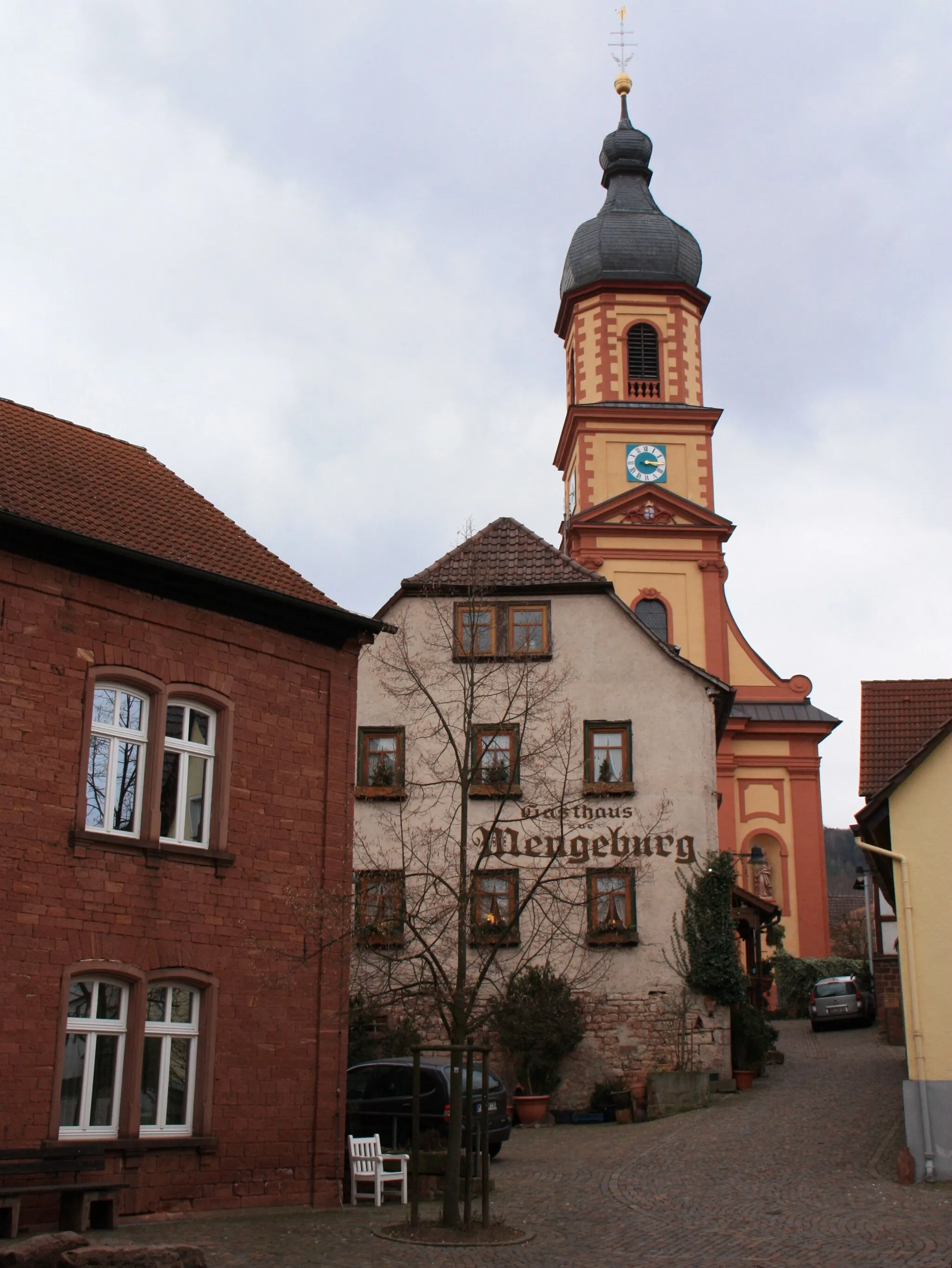
Cycling in Picturesque Eschau, Germany
Cycling routes from Eschau
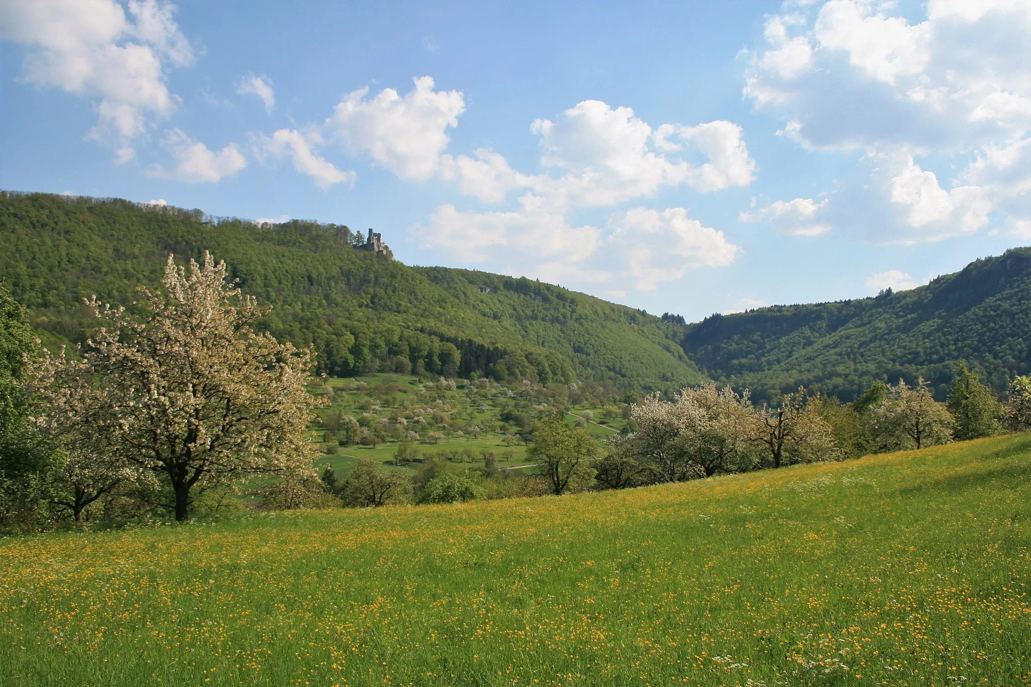
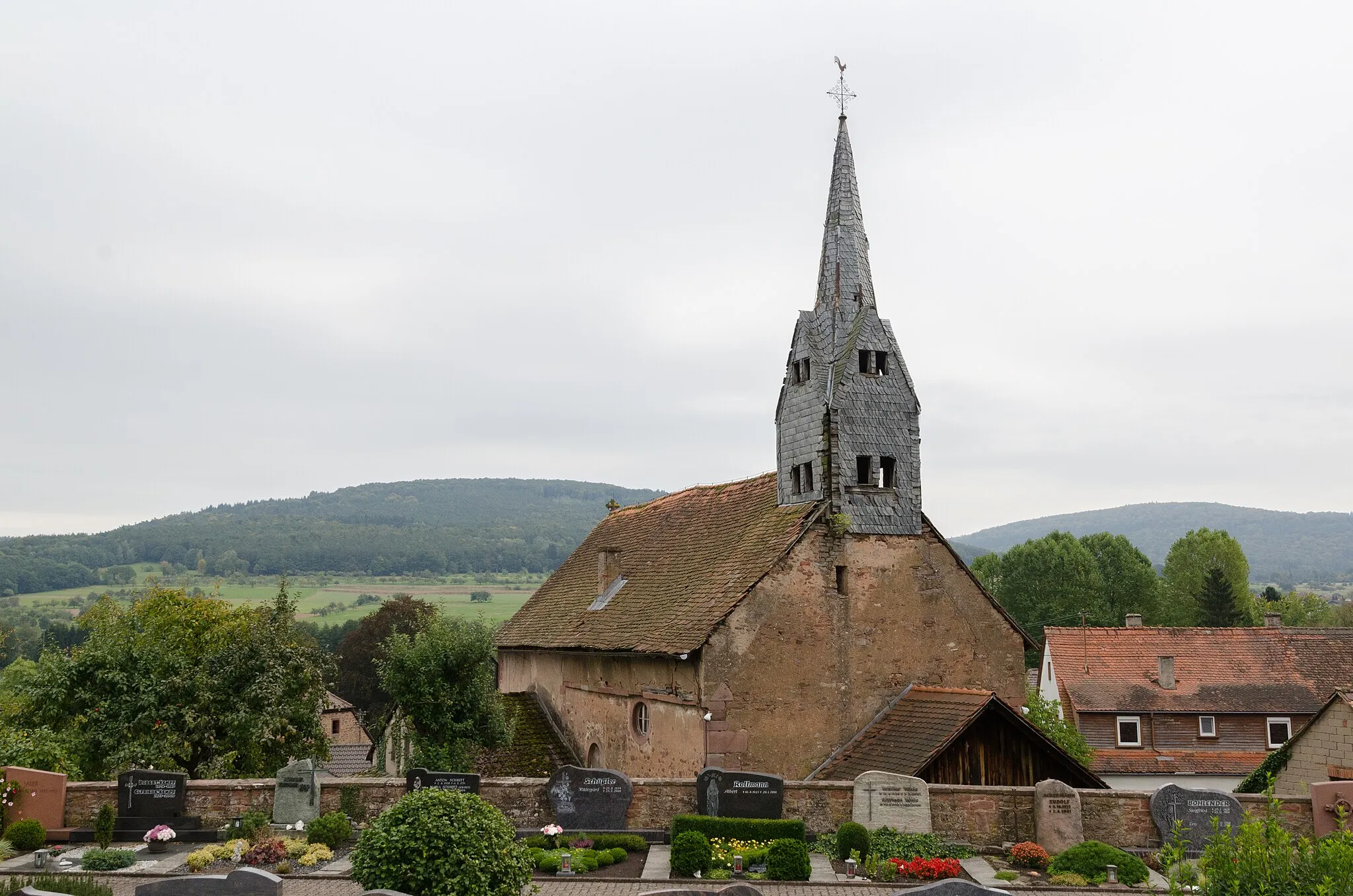
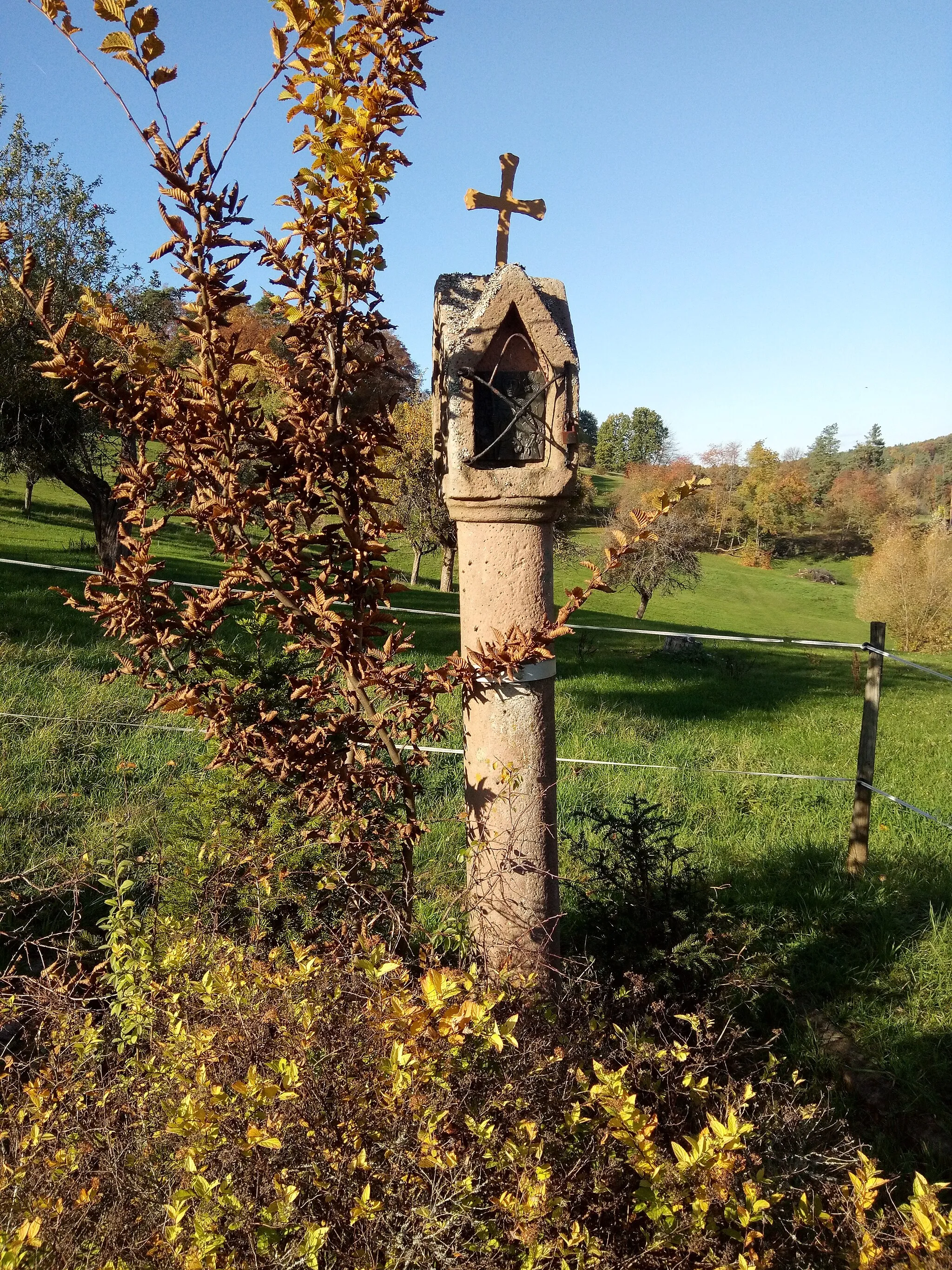
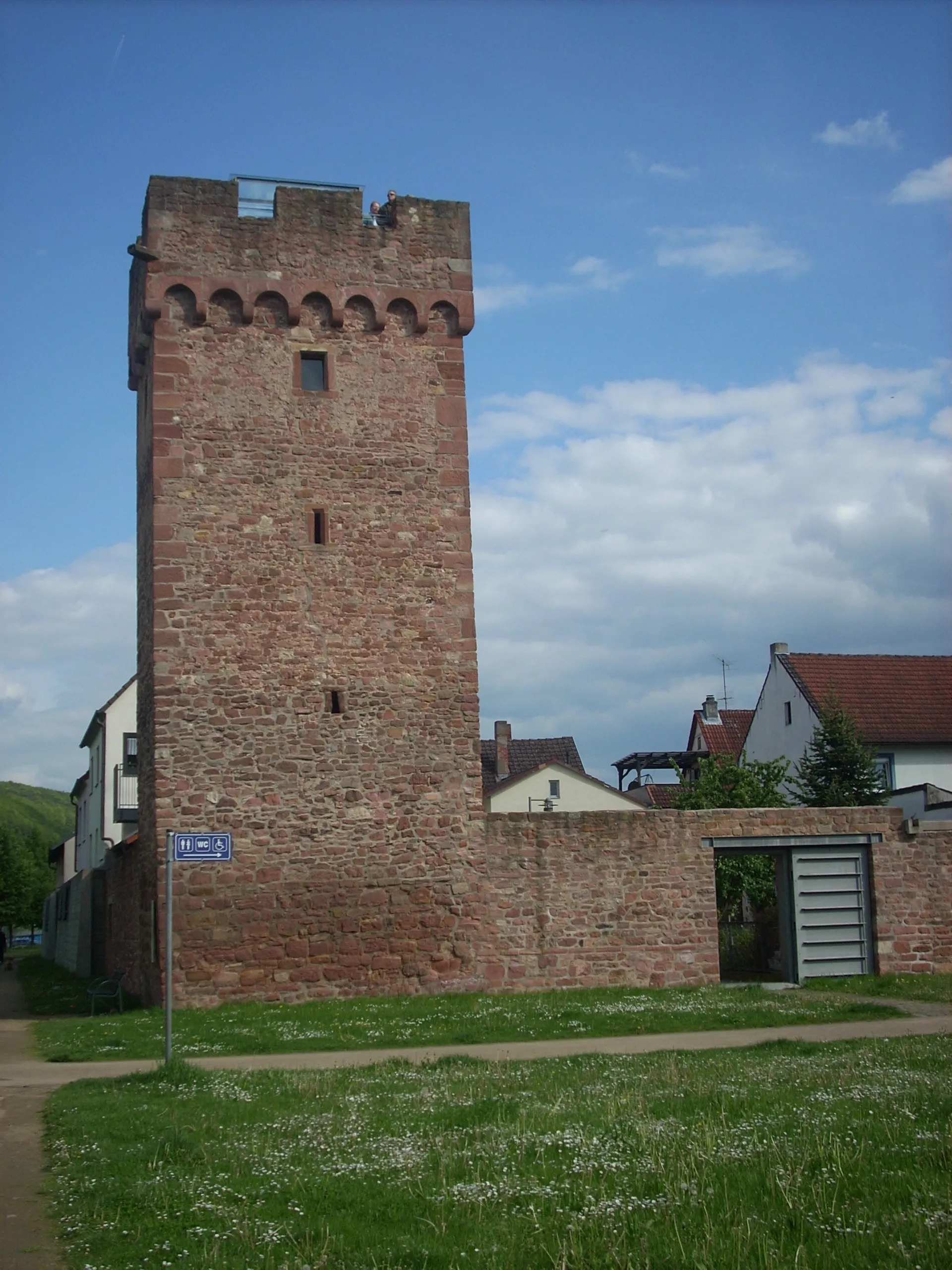
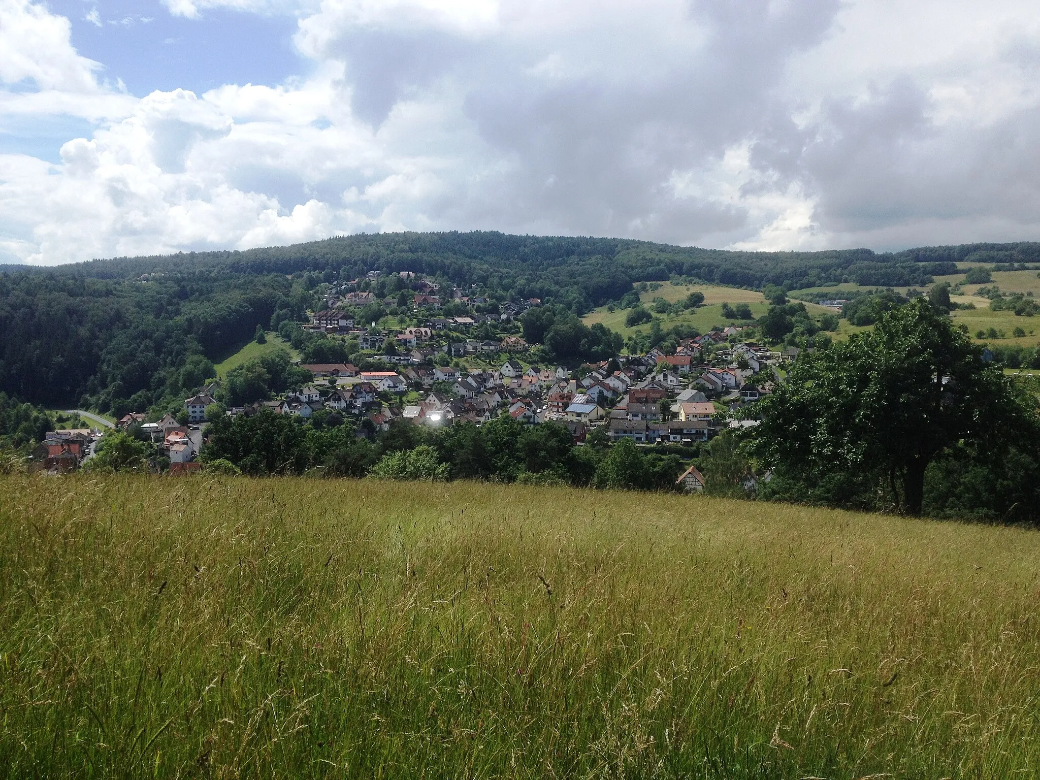
Eschau in Unterfranken, Germany, is a suitable locality for road and gravel cyclists. The region offers a mix of flat and hilly terrain with picturesque rural landscapes. Cyclists can discover the beauty of the surrounding countryside while enjoying well-paved roads. While not home to famous cycling spots, Eschau provides peaceful and enjoyable rides for cyclists of all levels.
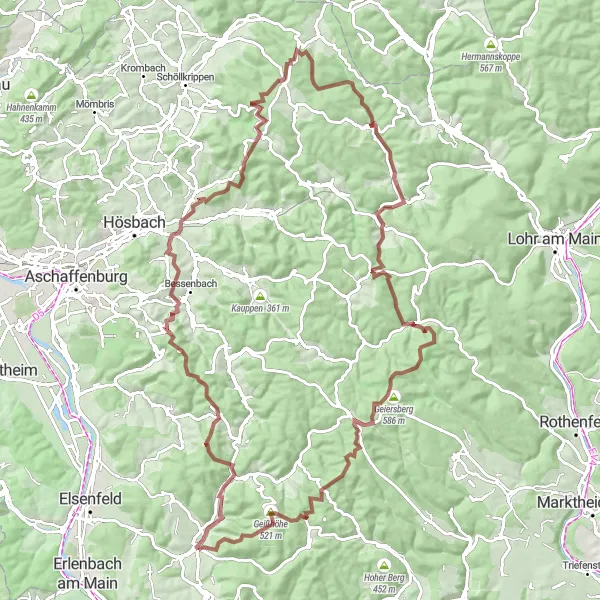
The Route of Legends
Challenging road cycling route featuring iconic landmarks of Unterfranken
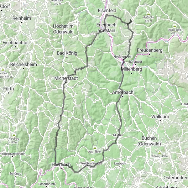
Embark on a legendary road cycling journey through Unterfranken, featuring iconic landmarks and challenging climbs. With a total ascent of 1635 meters over a distance of 131 kilometers, this route is recommended for experienced cyclists. Highlights include Röllbach, a village known for its centuries-old half-timbered houses, and Mudau, a historic town with impressive castle ruins. Don't miss the famous Michelstadt, home to the beautifully preserved timber-framed buildings of the historic old town. This route promises an unforgettable cycling experience through the heart of Unterfranken.
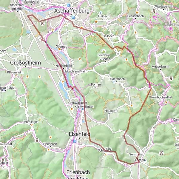
Embark on a scenic road cycling adventure through the beautiful Odenwald region.
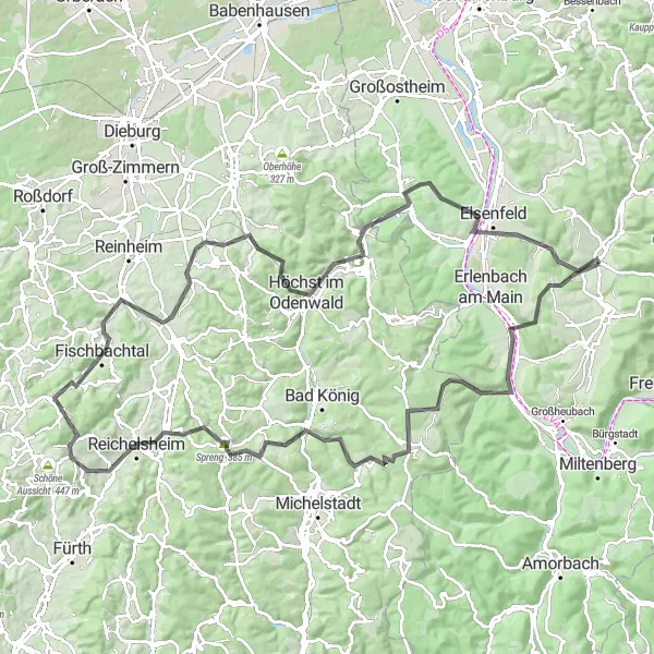
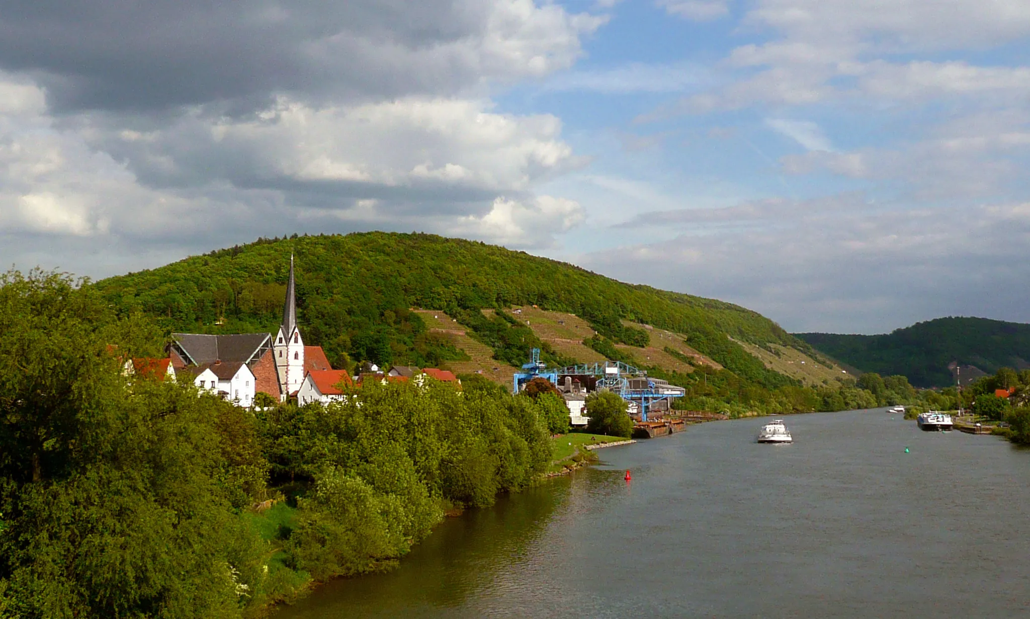
This challenging road cycling adventure takes you through the breathtaking Odenwald region. Covering a distance of 116 kilometers and featuring an ascent of 1889 meters, it offers a rewarding challenge for experienced cyclists. Highlights along the route include Aussichtsturm Klingenberg, Klingenberg am Main, Weiten-Gesäß, Heuberg, Spreng, Beerfurth, Raupenstein, Groß-Bieberau, Höchst im Odenwald, Breuberg, Platte, and Eschau. With stunning vistas and diverse landscapes, this route is perfect for cyclists seeking unforgettable experiences.
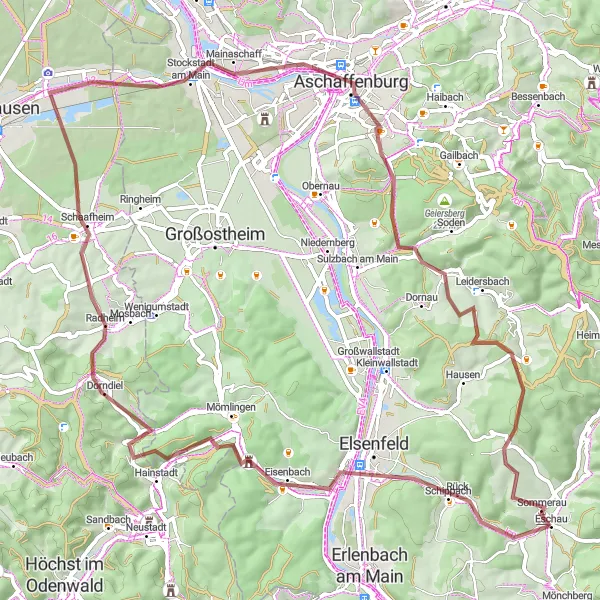
Embark on an adventurous gravel route, exploring Erlenbach am Main and Breuberg.
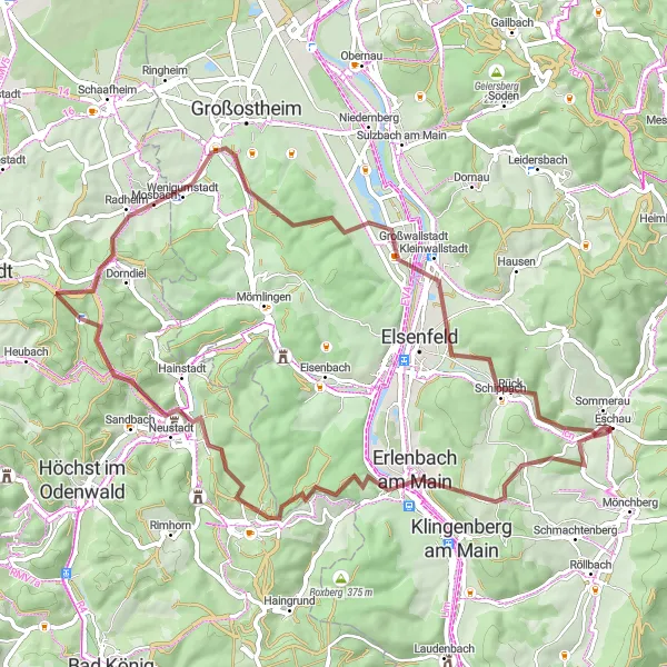
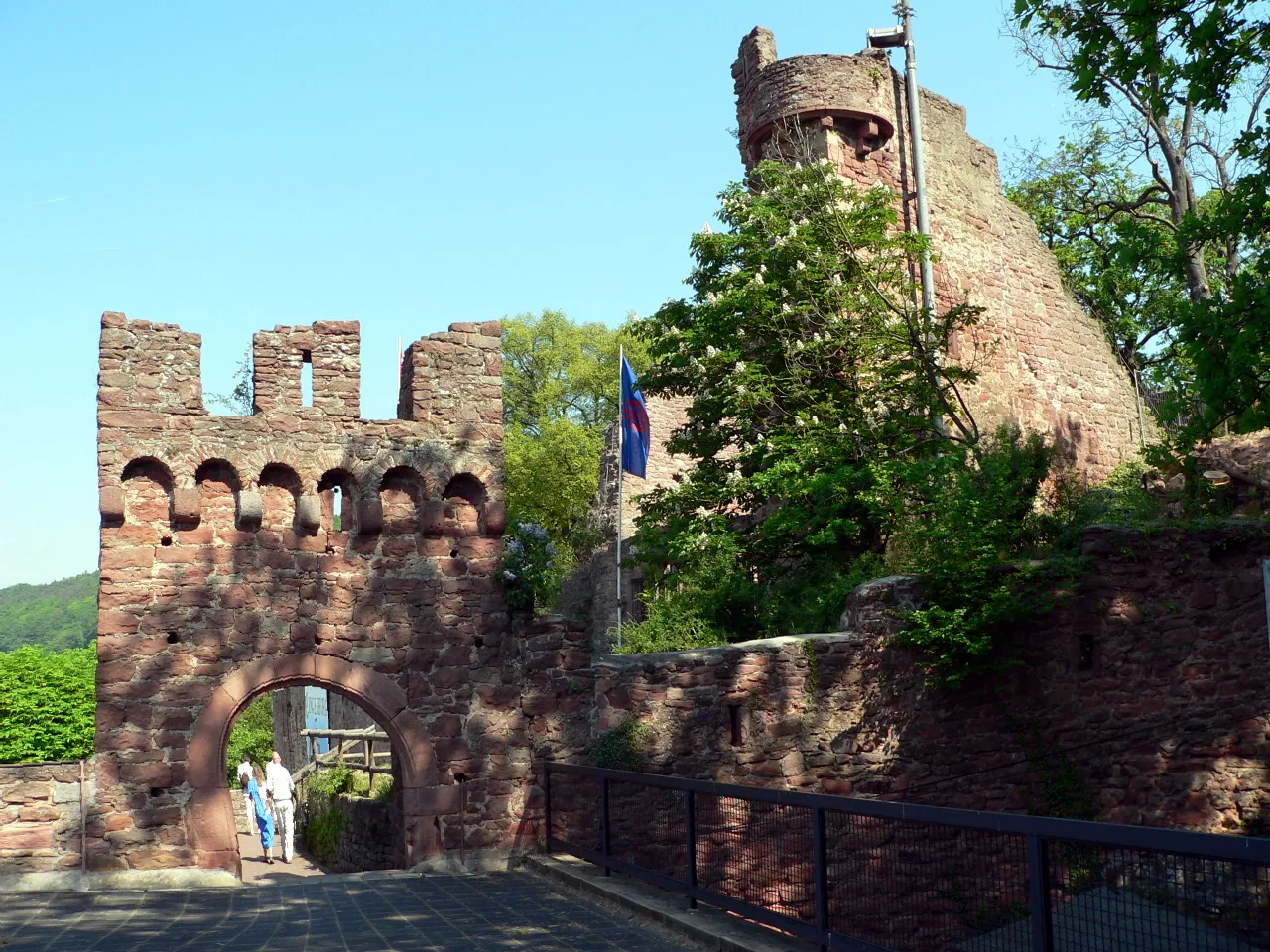
This challenging gravel route is ideal for cycling enthusiasts looking for adventure. Spanning a distance of 63 kilometers and featuring an ascent of 992 meters, it will test the skills of even well-trained amateurs. Highlights along the route include Galgenberg, Erlenbach am Main, Breuberg, Burg Breuberg, Pflaumheim, Kleinwallstadt, and Rück. Cyclists will enjoy a variety of terrains and breathtaking scenery throughout the journey.
Embark on an exciting gravel adventure near Eschau.
This leisurely yet thrilling gravel route near Eschau is perfect for cyclists of all levels. With a total ascent of 2,030 meters and a distance of 105 kilometers, you'll experience a picturesque journey through rolling hills and charming villages.
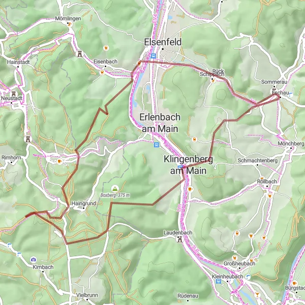
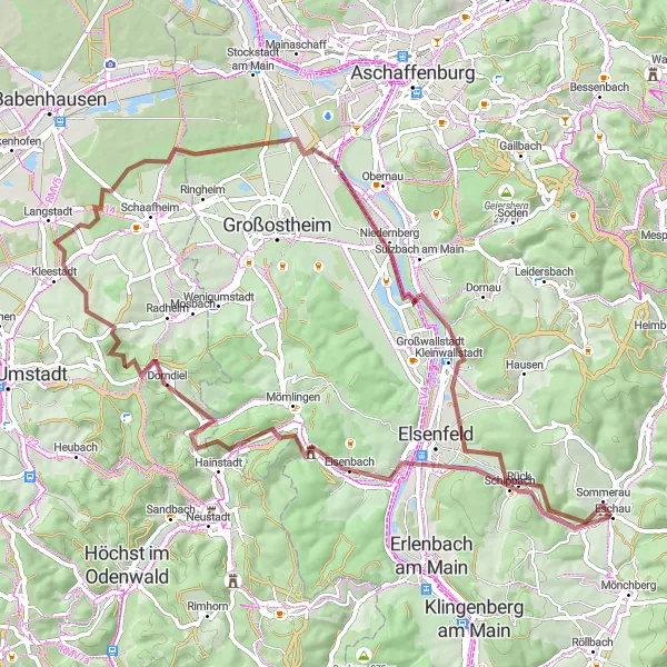
Embark on a gravel tour from Obernburg am Main to Leidersbach, exploring stunning landscapes.
This gravel tour spans 74 kilometers and features a challenging ascent of 955 meters. It takes cyclists through picturesque towns and villages, including Obernburg am Main, Grenzberg, Dorndiel, Stockstadt am Main, Leidersbach, Dörnetshöhe, and Eschau. With varying terrains and breathtaking views, this route is perfect for gravel lovers who enjoy diverse cycling experiences.
Immerse yourself in the natural beauty of Unterfranken in this exciting gravel adventure.
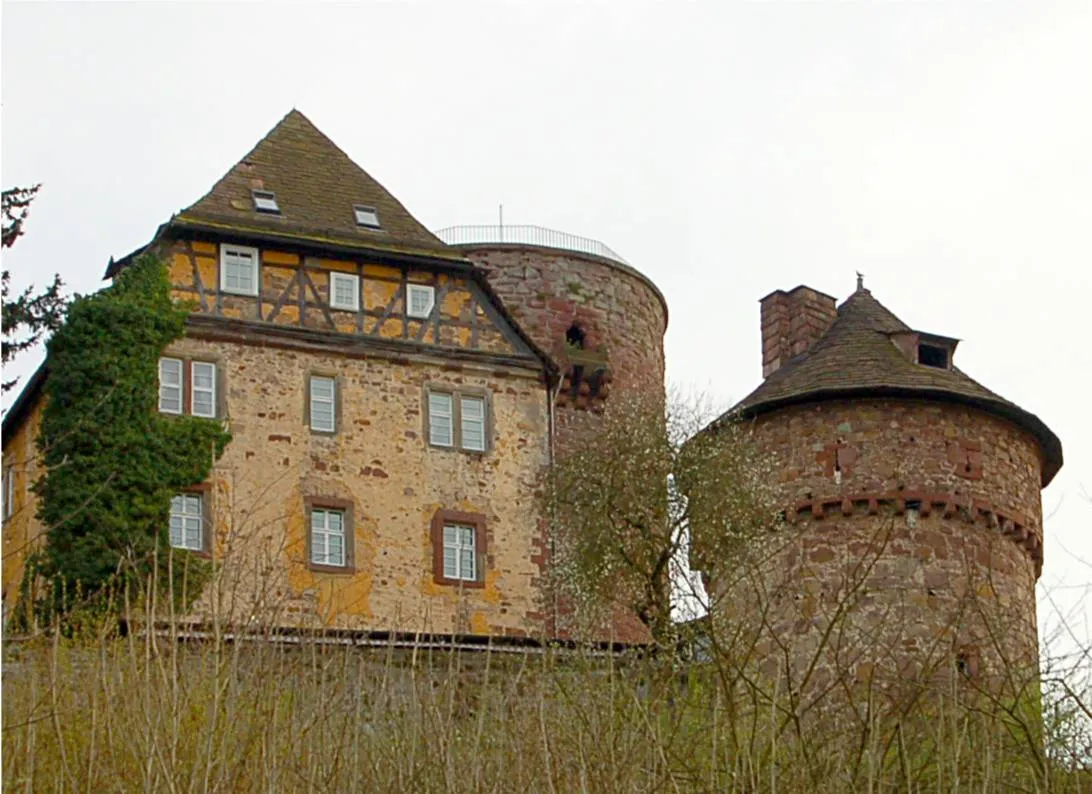
This gravel route takes you through picturesque Unterfranken, offering stunning views and charming villages. With moderate difficulty and a touch of epicness, it is perfect for well-trained amateur cyclists looking for an adventure. Explore highlights including Galgenberg, with its panoramic vistas, Klingenberg am Main, a quaint town known for its vineyards, and the medieval Wasserschloss Sommerau.
Off the Beaten Path
Gravel cycling adventure through hidden gems of Unterfranken
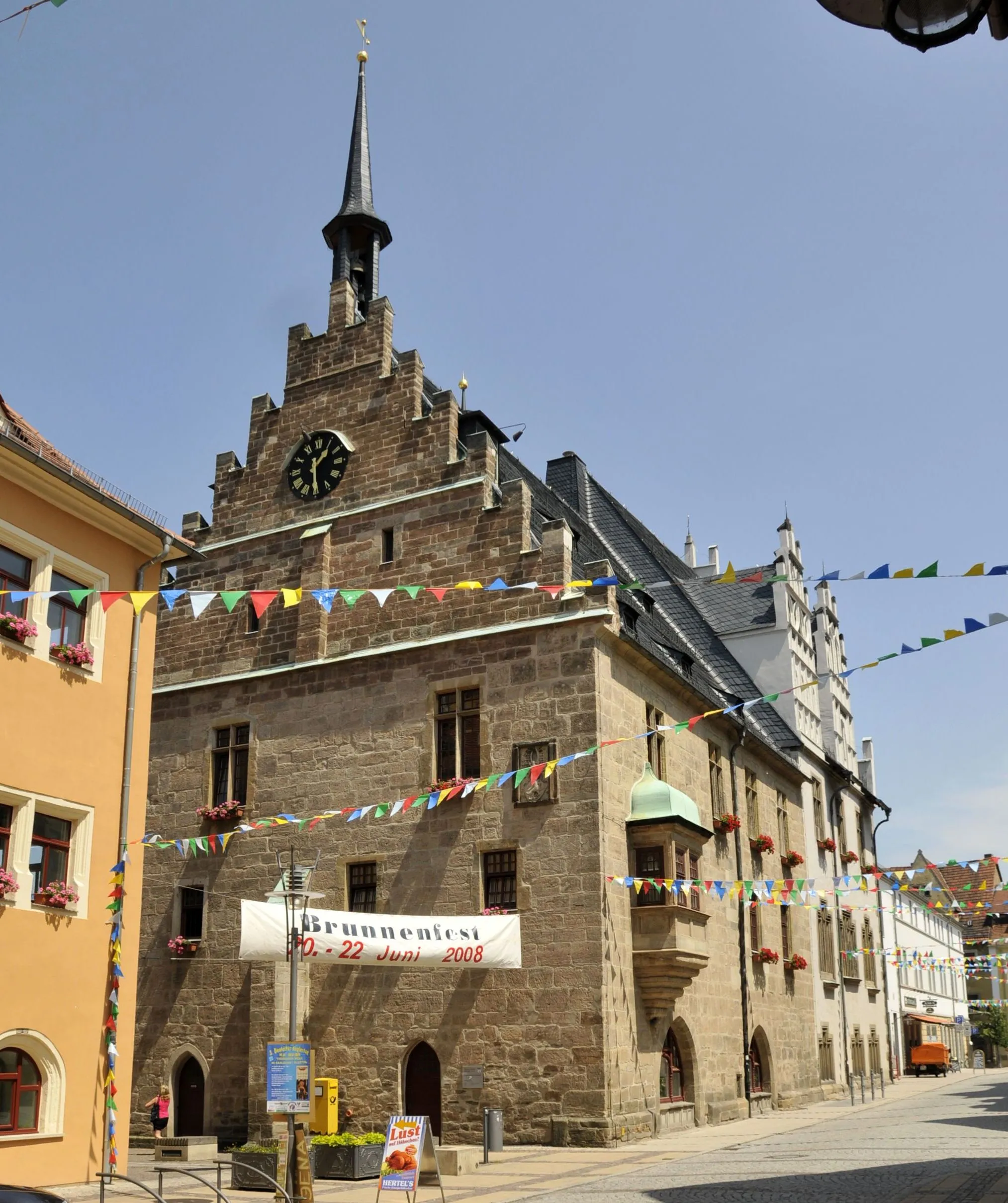
This gravel cycling route takes you off the beaten path, exploring the hidden gems of the Unterfranken region. With a total ascent of 609 meters over a distance of 57 kilometers, this route is suitable for intermediate gravel cyclists. Highlights include Platte, a scenic hill with sweeping views of the surrounding countryside, and Landschaftsfenster, a unique architectural structure blending modern design with nature. Don't miss the vibrant town of Aschaffenburg, known for its historic buildings and lively cultural scene. This route offers a perfect balance between adventure and discovery.
Exploring the Wilderness
Scenic gravel cycling route through the untamed wilderness of Unterfranken
Escape from civilization and immerse yourself in the untamed wilderness of Unterfranken with this scenic gravel cycling route. With a total ascent of 768 meters over a distance of 72 kilometers, this route is suitable for intermediate gravel cyclists. Highlights include Obernburg am Main, a picturesque town known for its medieval castle, and Wasserschloss Sommerau, a stunning water castle situated in a peaceful natural setting. Don't miss the unique architectural marvel of Landschaftsfenster, blending art and nature harmoniously. Breathing in the fresh air and experiencing the solitude of nature, this route offers a truly invigorating adventure.
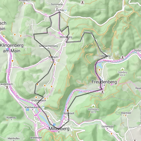
Discover the picturesque towns of Bürgstadt and Collenberg on this scenic road route.
This road route offers a delightful journey through the picturesque towns of Bürgstadt and Collenberg. With a total distance of 46 kilometers and an ascent of 697 meters, it is suitable for cyclists of varying skill levels. Highlights along the route include Geiersberg, Collenberg, Bürgstadt, Plattform, Röllbach, Bischberg, and Wasserschloss Sommerau. The route features charming villages, scenic river views, and historic landmarks, providing a memorable cycling experience.
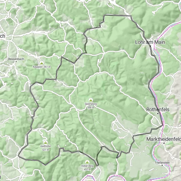
Epic road cycling route showcasing the scenic beauty of Bayern
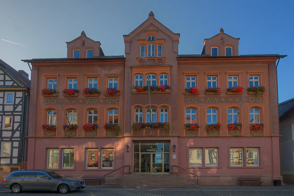
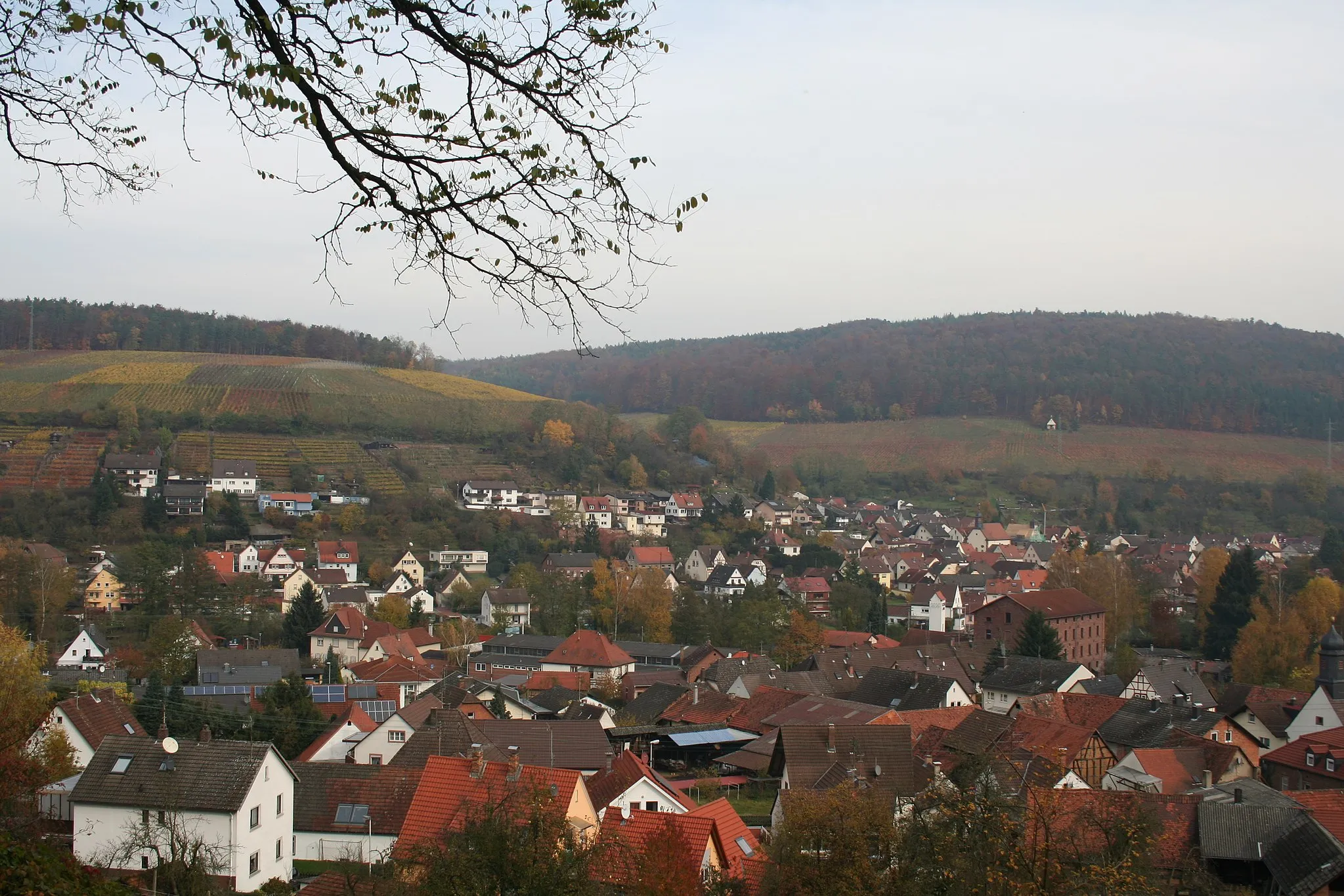
This challenging road cycling route takes you through the picturesque landscape of Unterfranken, offering stunning views of valleys, forests, and charming Bavarian villages. With a total ascent of 1581 meters over a distance of 107 kilometers, this route is recommended for well-trained cyclists. Highlights include Heimbuchenthal, a quaint village known for its traditional timber-framed houses, and Hirschkopf, a scenic lookout point offering panoramic views. Don't miss the charming town of Lohr am Main, famous for its fairytale castle and annual Snow White festival. This route provides a truly immersive experience in the heart of Bayern.
Cycling routes nearby:


Nearby regions: