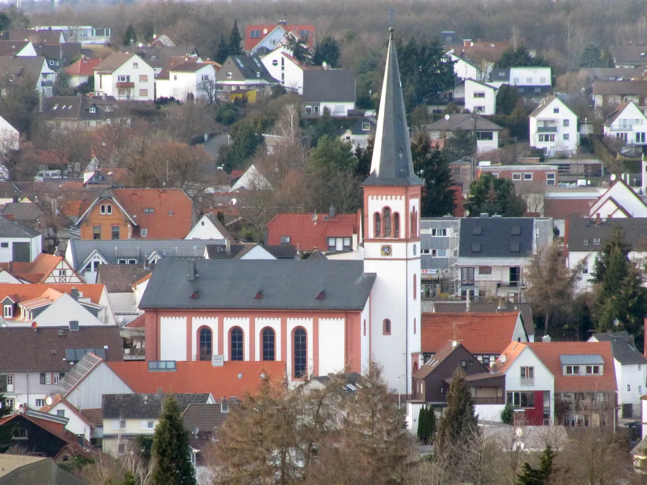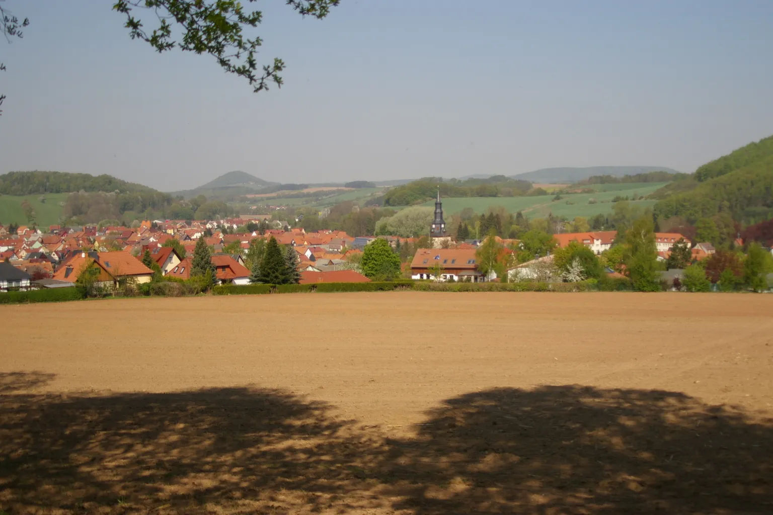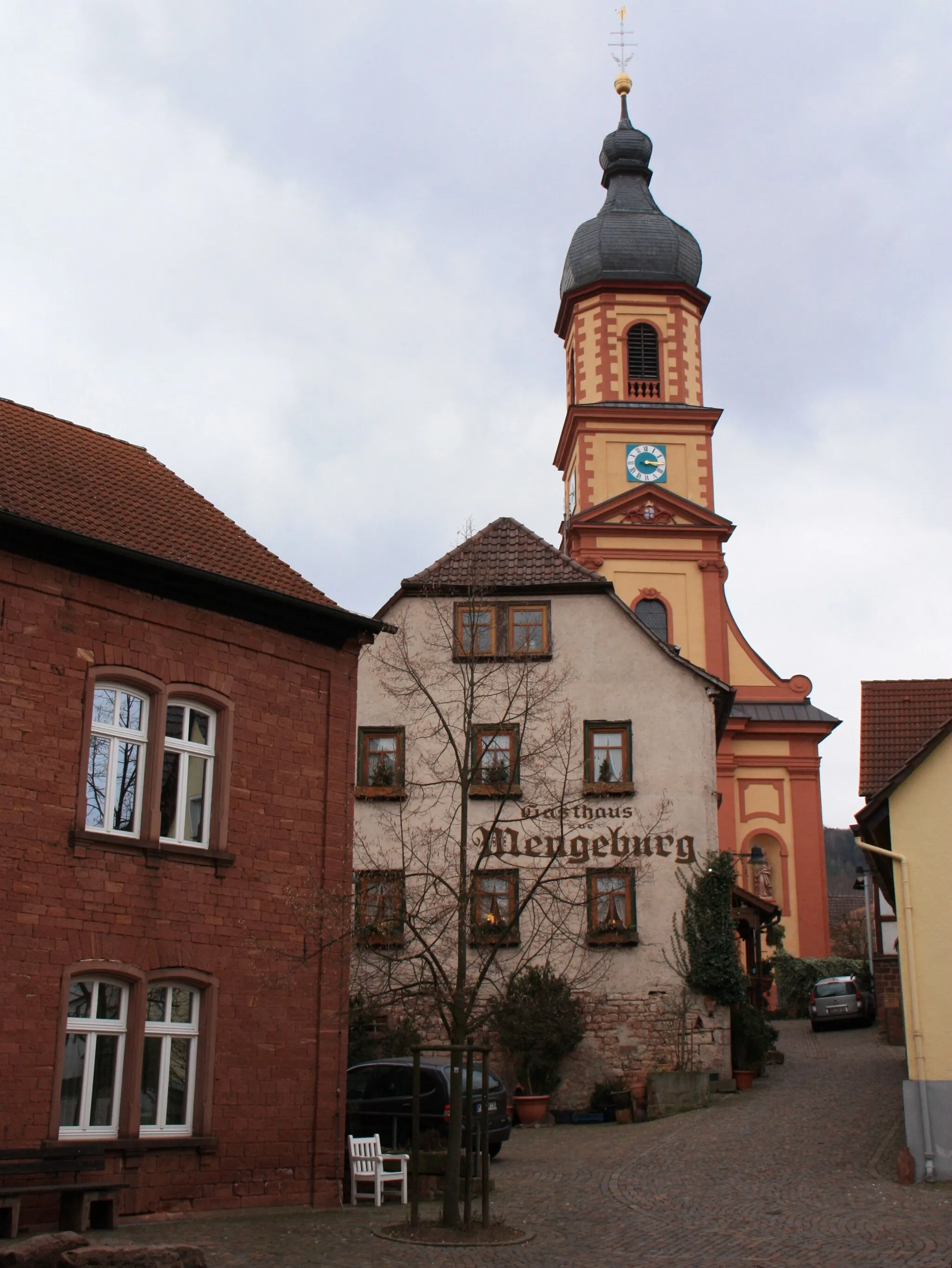
A charming locality for road and gravel cyclists in Unterfranken, Germany.
Cycling routes from Monchberg
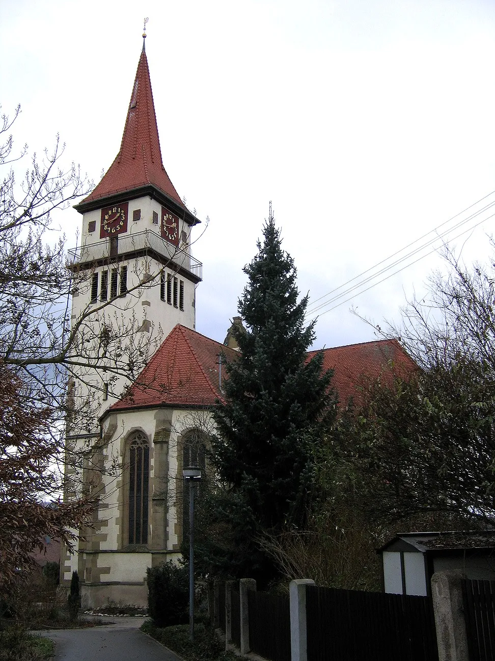
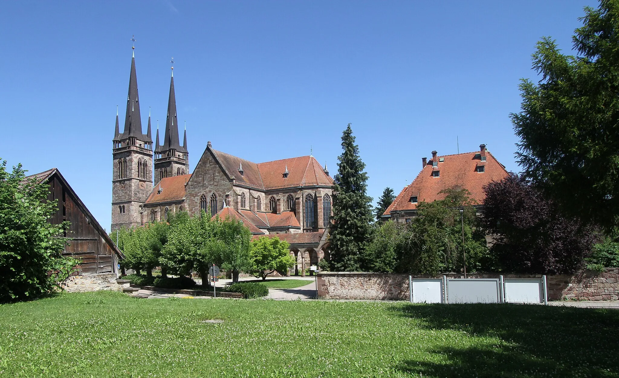
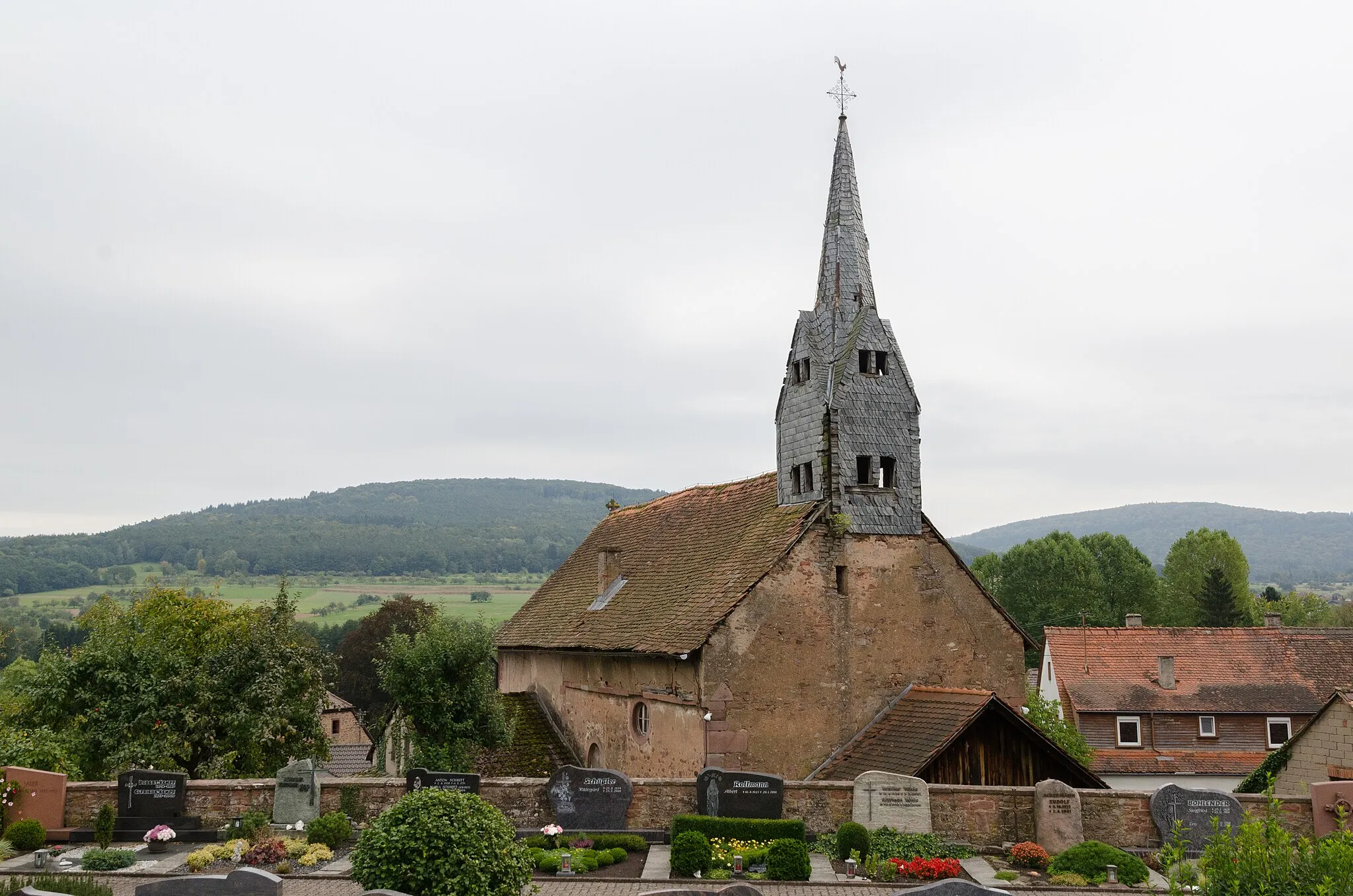
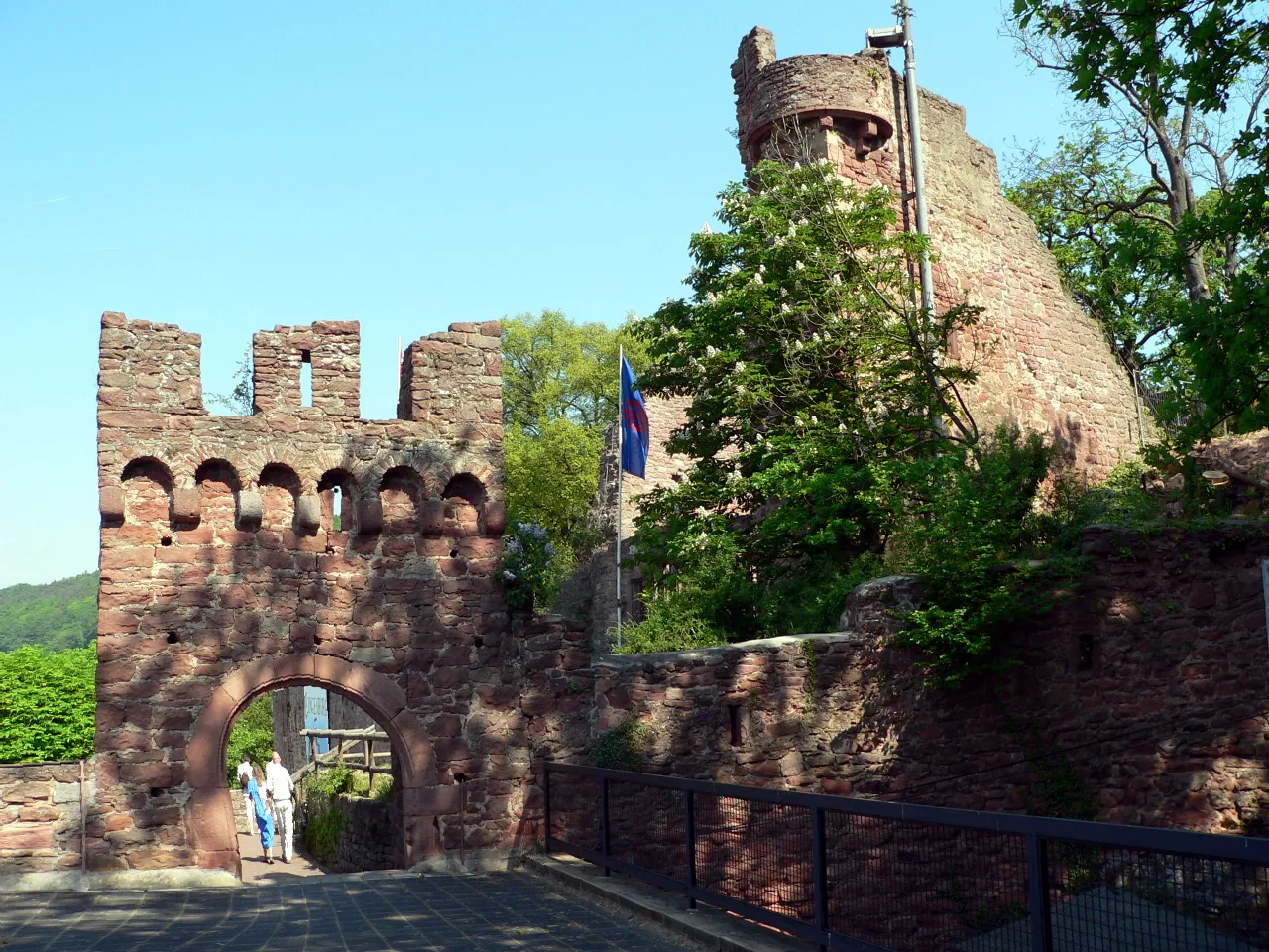
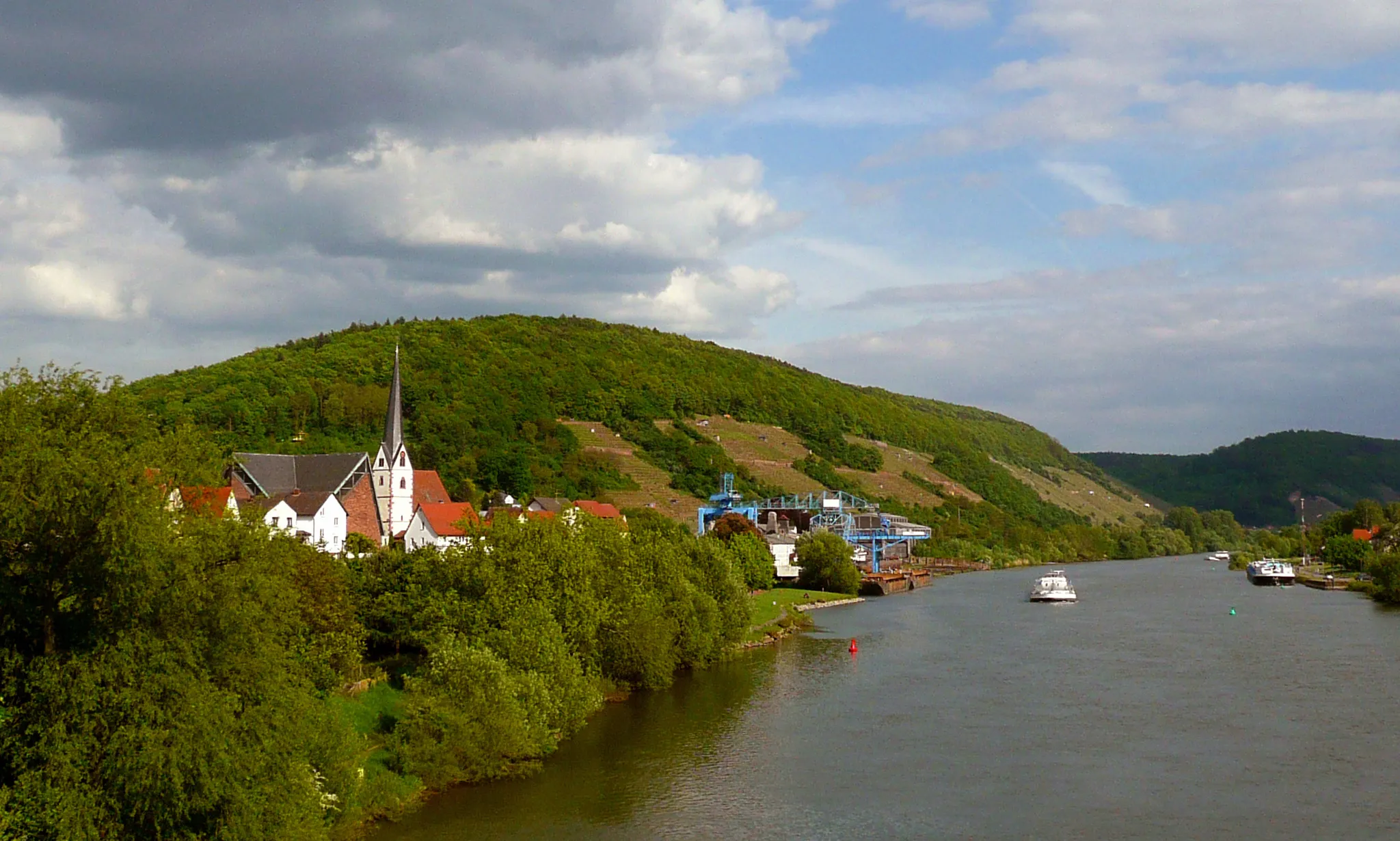
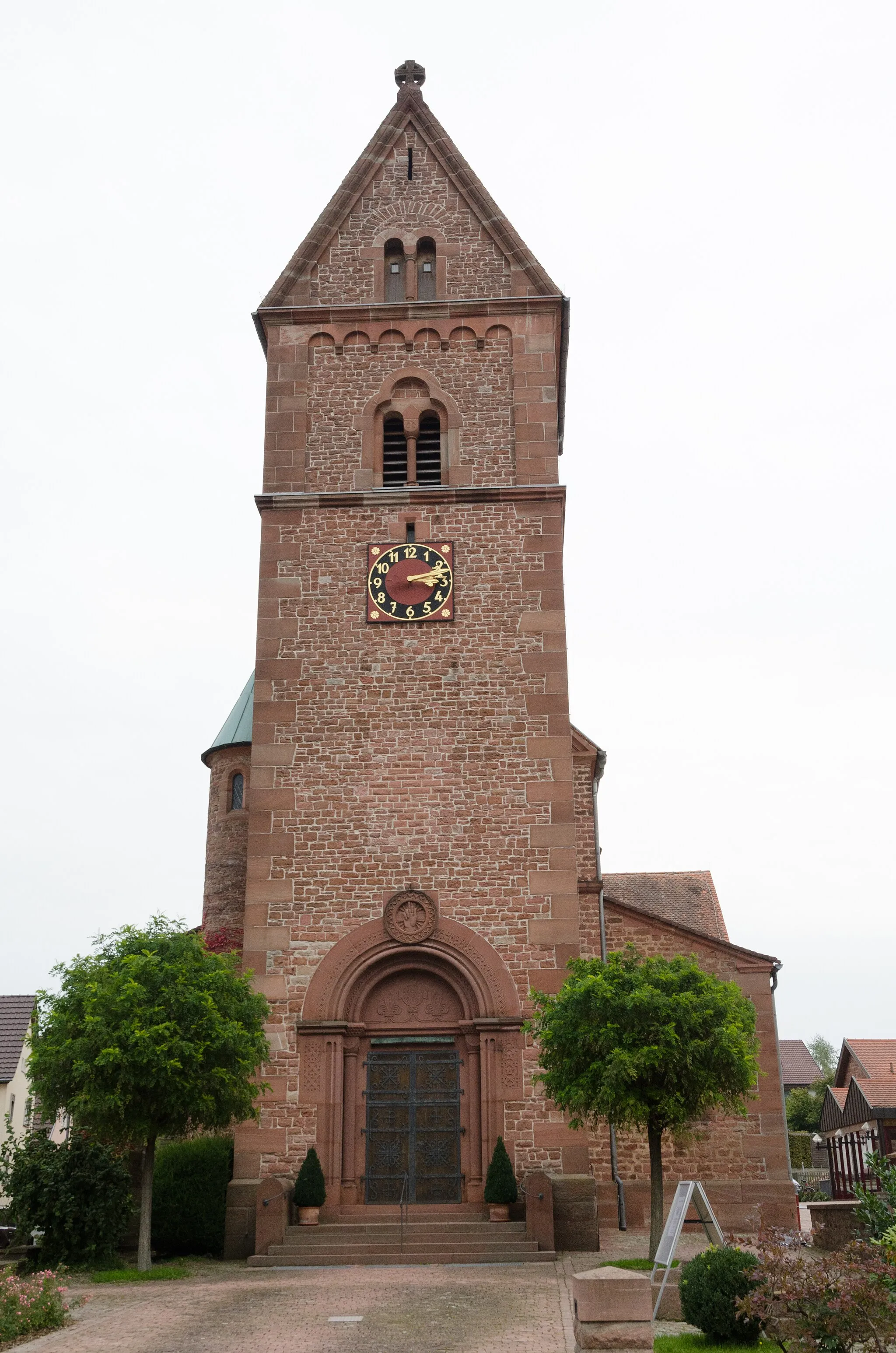
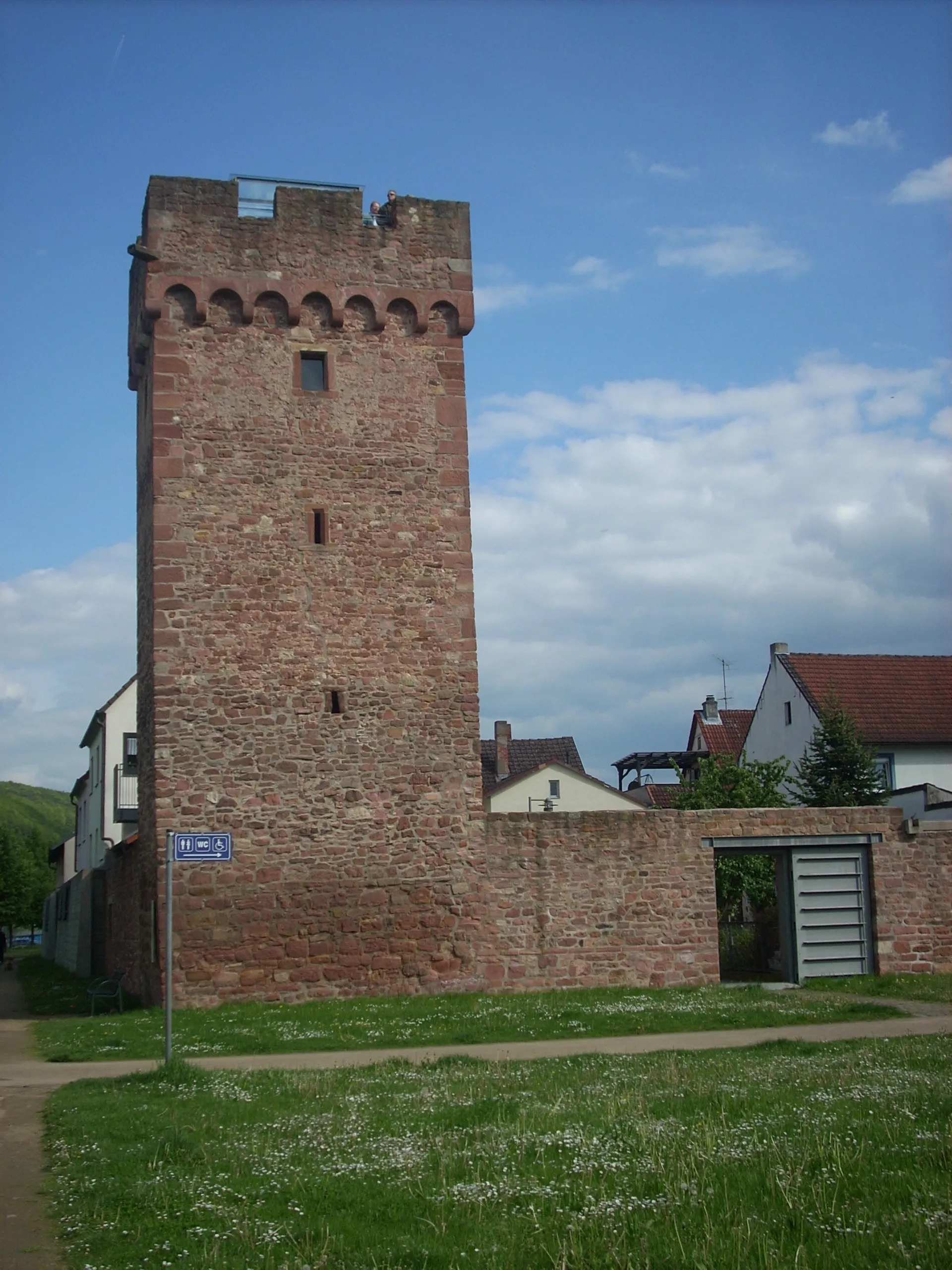
Mönchberg in Unterfranken, Germany is a charming locality for road and gravel cyclists. The region is characterized by beautiful vineyards and picturesque countryside views. One of the well-known climbs nearby is the Geiersthal, which provides a thrilling challenge for cyclists. Mönchberg is an excellent choice for cyclists looking for a relaxed and scenic ride.
The Gravel Adventure
Explore the hidden gems of Mönchberg on this challenging gravel route.
This route takes you through beautiful gravel trails in the scenic countryside near Mönchberg. With a total ascent of 907m, it offers a challenging adventure for gravel enthusiasts. The 47km distance is ideal for a day trip, allowing you to enjoy the stunning landscapes and unique highlights along the way.
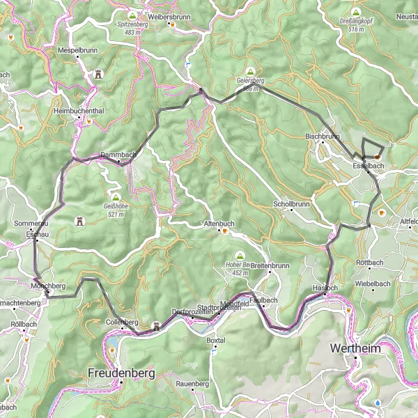
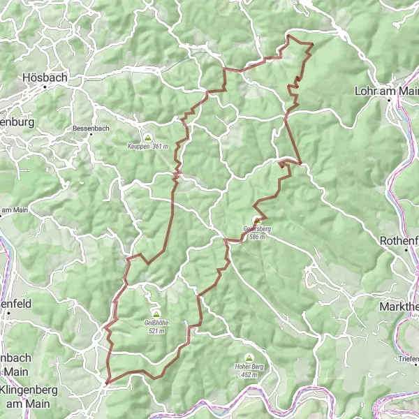
Embark on an epic road cycling journey through Dammberg, Schollbrunn, Auf der Schneide, Geiersberg, and Waldschlösschen
Get ready for a challenging 113 km road cycling adventure with an ascent of 1871 meters. This route offers stunning scenery, exhilarating climbs, and beautiful viewpoints along the way.
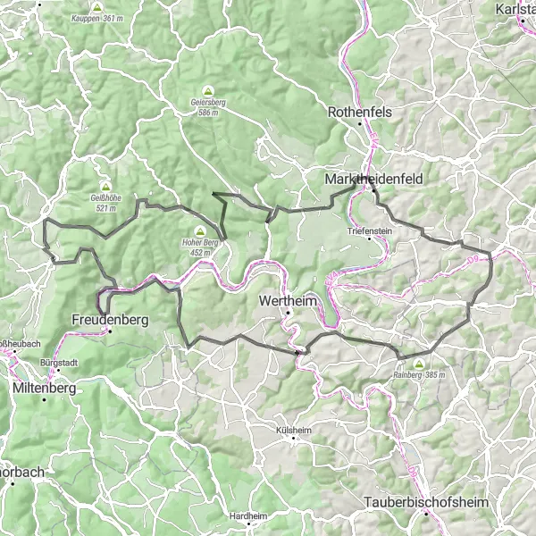
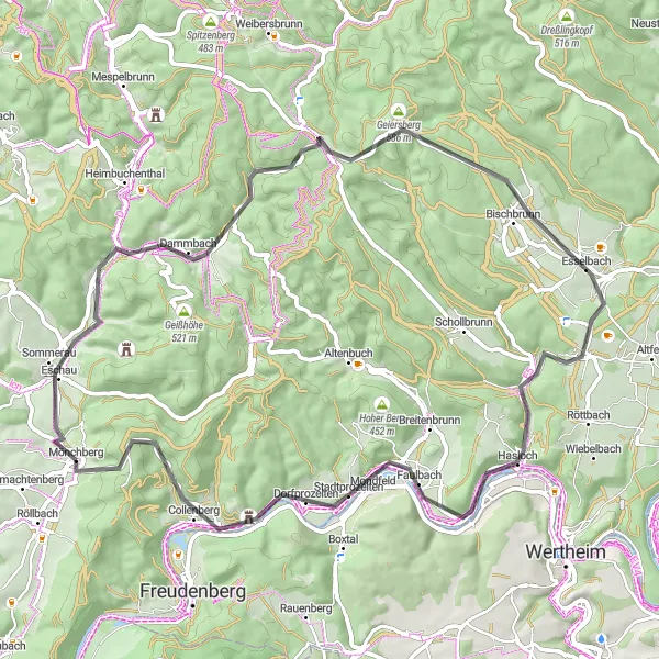
Main Valley Ride
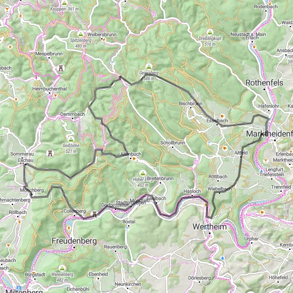
Embark on a scenic road cycling adventure through the Main Valley, starting near Mönchberg.
The Main Valley Ride is an exhilarating road cycling route that spans a distance of 71 kilometers and includes an ascent of 1116 meters. As you pedal through the picturesque Main Valley, you will encounter various highlights such as Eschau, Kirchhöhe, Lärchhöhe, Bischbrunn, Hasloch, Oberer Berg, Collenberg, and Geiersberg. These attractions offer opportunities to explore charming villages, visit historic sites, and enjoy the beautiful landscapes of Unterfranken. Overall, the Main Valley Ride is a moderately challenging route that provides cyclists with a mix of cultural immersion and natural beauty.
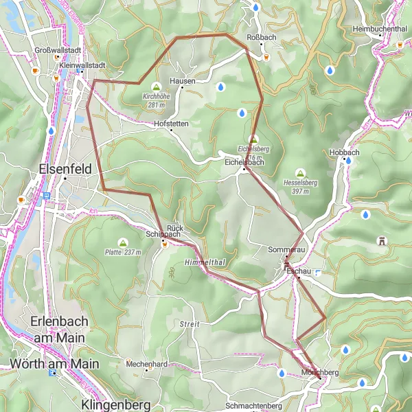
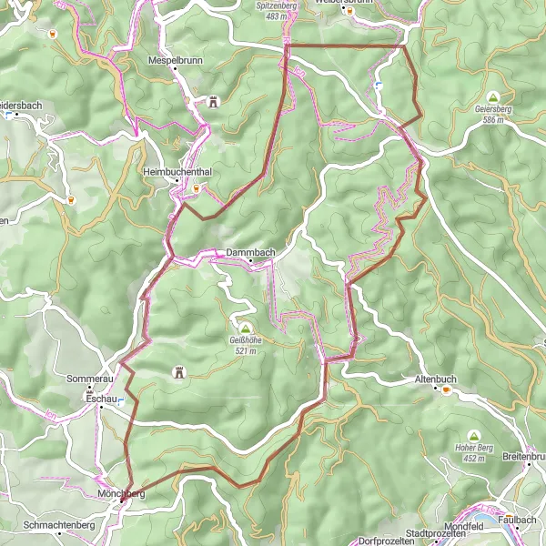
Discover the beautiful forest landscapes of Kleinwallstadt and Plattenberg on the way to Eschau
Embark on this 31 km gravel route that takes you through scenic forests and picturesque villages. With a moderate ascent of 488 meters, this route provides a great mix of natural beauty and cultural highlights.
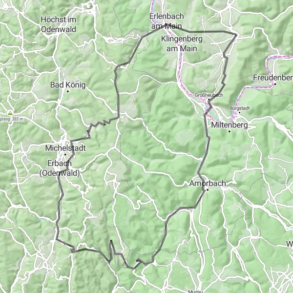
Odenwald Explorer
Embark on a memorable road cycling journey through the enchanting Odenwald region.
The Odenwald Explorer is an unforgettable road cycling route that covers a distance of 89 kilometers and includes an ascent of 1522 meters. This challenging route takes you through diverse landscapes and charming villages, showcasing the beauty of the Odenwald region. The scenic highlights along the way include Steckenberg, Lärchhöhe, Bischbrunn, Hafenlohr, Mainberg, Hasloch, Oberer Berg, Collenberg, and Geiersberg. These attractions provide opportunities to explore historic sites, enjoy panoramic views, and immerse yourself in the cultural heritage of the region. With its combination of natural beauty and cultural richness, the Odenwald Explorer promises an extraordinary cycling experience for enthusiasts.
Embark on an epic gravel adventure through the scenic countryside of Unterfranken.
The Unterfranken Gravel Adventure is a thrilling cycling route that spans a distance of 94 kilometers and includes an ascent of 1967 meters. This challenging route takes you through picturesque landscapes, charming villages, and scenic viewpoints. The highlights along the way include Volkersbrunn, Große Solhöhe, Burgstall Wahlmich, Brandberg, Wiesthal, Küppel, Lärchhöhe, Rohrbrunn, and Spitzenstein. These attractions offer opportunities to explore remote areas, tackle gravel paths, and immerse yourself in the tranquility of nature. With its diverse terrain and stunning vistas, the Unterfranken Gravel Adventure is a must for experienced gravel cyclists seeking an unforgettable ride.
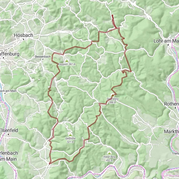
Embark on an epic adventure through the stunning landscapes of Heimbuchenthal, Dürrenberg, Rohrbrunn, and Spitzenstein
Prepare yourself for a challenging 93 km gravel route with an ascent of 1860 meters. This epic journey takes you through diverse terrain, including dense forests, rolling hills, and rocky trails.
Experience the breathtaking beauty of the Odenwald Mountains on this challenging road cycling route.
The Odenwald region in Unterfranken, Germany offers stunning landscapes and exhilarating cycling opportunities. This road cycling route takes you through picturesque villages, dense forests, and challenging climbs. The 97-kilometer route with 1478 meters of ascent will test your endurance and reward you with breathtaking views at every turn. Whether you're a novice cyclist looking for a challenge or a seasoned rider seeking an epic adventure, this route has something for everyone.
A scenic road cycling route with challenging ascents near Monchberg
This road cycling route near Monchberg offers scenic views and challenging ascents, making it suitable for experienced cyclists. With a total ascent of 1040 meters and a distance of 65 kilometers, this route provides a good workout. The highlights along the route include Eschau, Kirchhöhe, Lärchhöhe, Bischbrunn, Klosterberg, Hasloch, Stadtprozelten, and Spitzenstein.
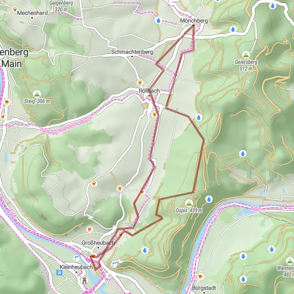
Embark on a short but scenic cycling route from Ospis to Kleinheubach and Röllbach
Enjoy this 22 km gravel route with a moderate ascent of 421 meters. Take in the beauty of the surrounding nature, picturesque villages, and historical landmarks along the way.
Cycling routes nearby:


Nearby regions: