Monchberg Road Cycling Route
A road cycling route starting from Monchberg
A scenic road cycling route with challenging ascents near Monchberg
Map
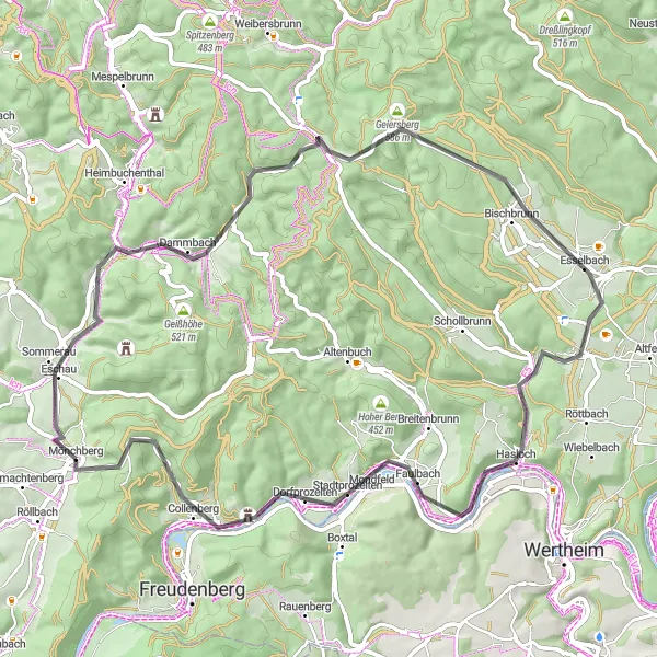
This road cycling route near Monchberg offers scenic views and challenging ascents, making it suitable for experienced cyclists. With a total ascent of 1040 meters and a distance of 65 kilometers, this route provides a good workout. The highlights along the route include Eschau, Kirchhöhe, Lärchhöhe, Bischbrunn, Klosterberg, Hasloch, Stadtprozelten, and Spitzenstein.
road
65 km
1040 m
Tough
Route profile
Highlights on the route
0 km
0 km
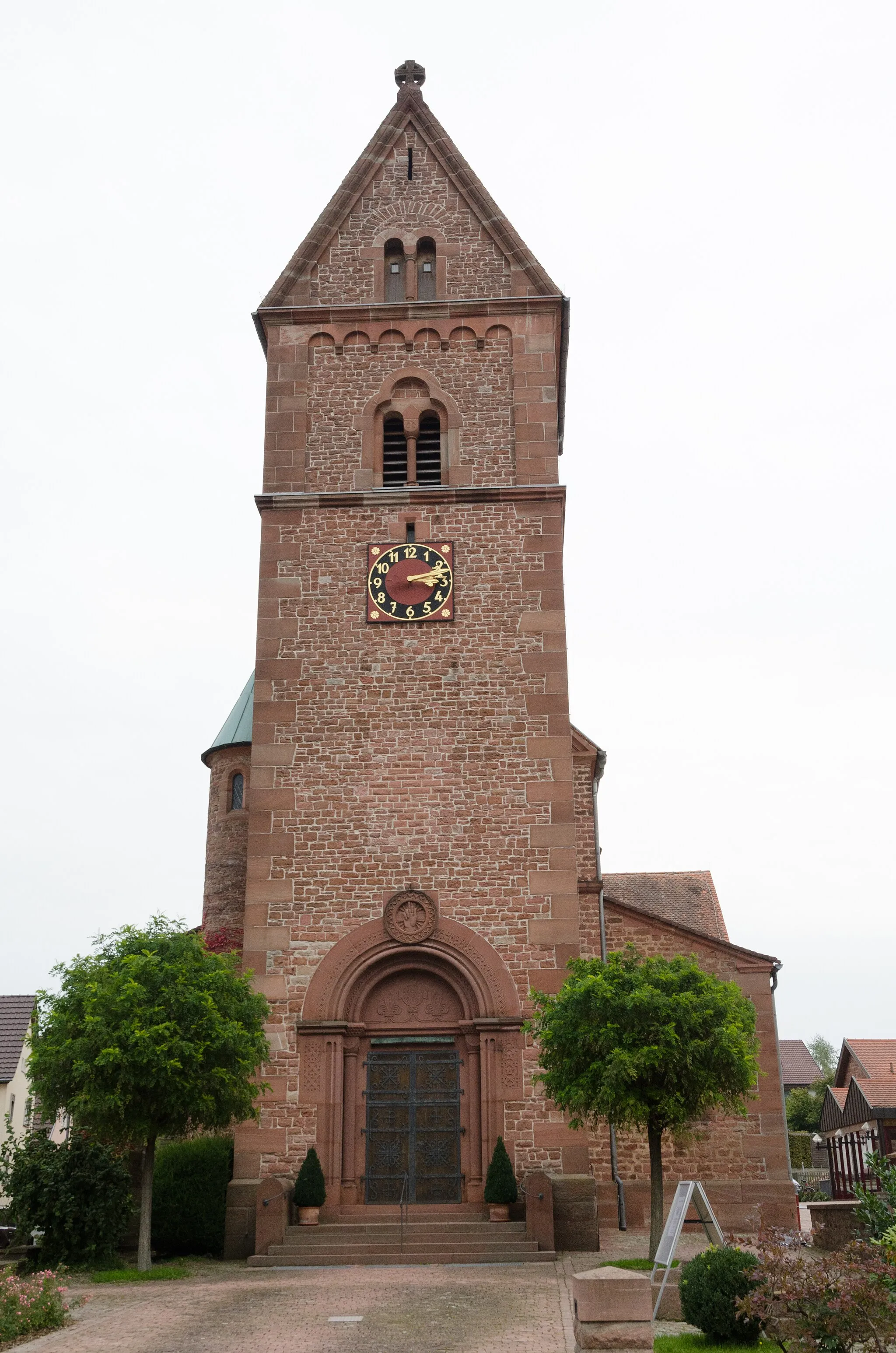
Start: Mönchberg Village centerMönchberg: A charming locality for road and gravel cyclists in Unterfranken, Germany.
Mönchberg in Unterfranken, Germany is a charming locality for road and gravel cyclists. The region is characterized by beautiful vineyards and picturesque countryside views. One of the well-known climbs nearby is the Geiersthal, which provides a thrilling challenge for cyclists. Mönchberg is an excellent choice for cyclists looking for a relaxed and scenic ride.3 km
3 km
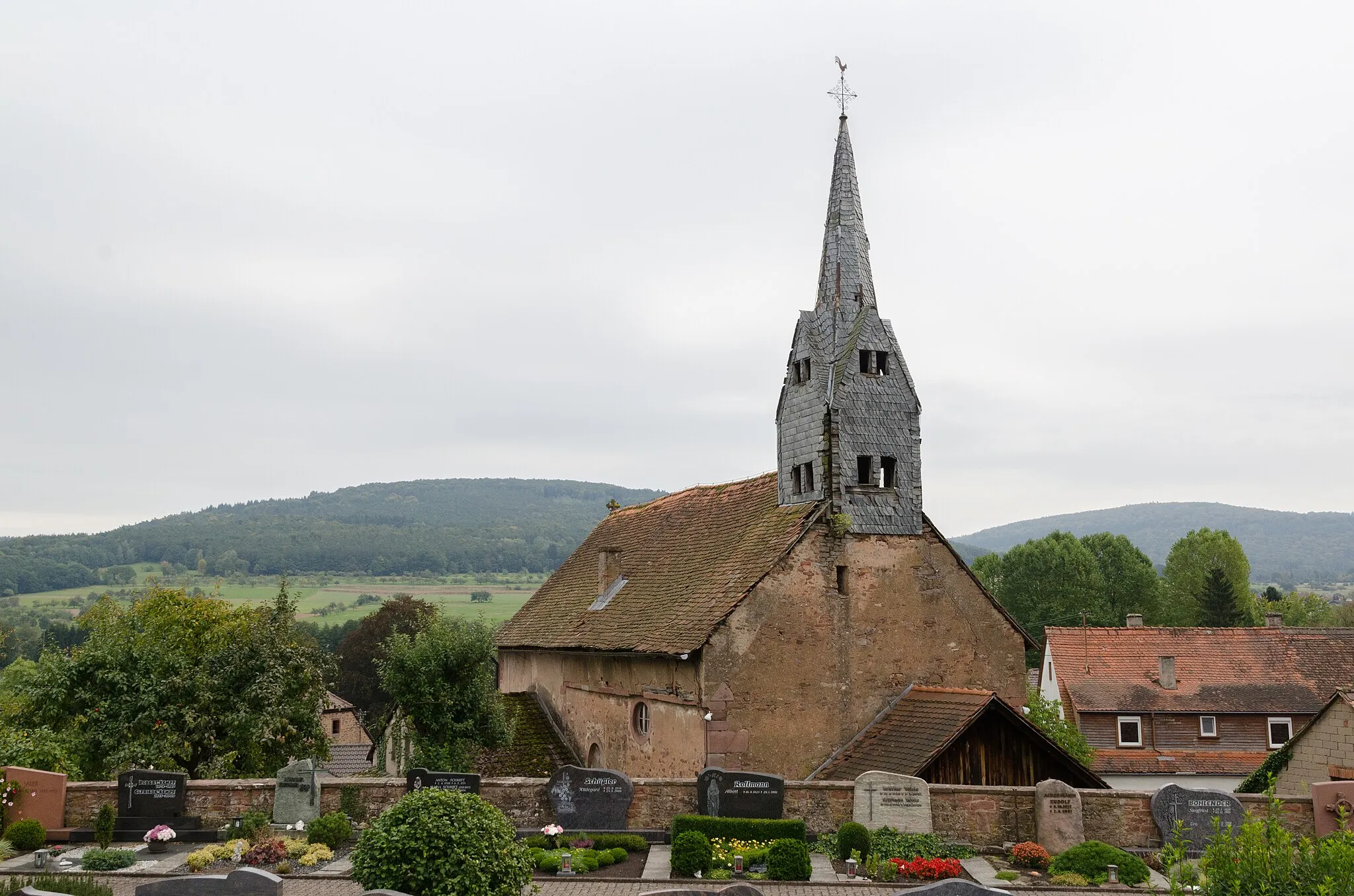
EschauVillageEschau is a charming village with beautiful architecture and a long history. Take a break in one of the local cafes and enjoy the views.
11 km
11 km
Kirchhöhe355 mPeakKirchhöhe offers stunning panoramic views of the surrounding countryside. Take a moment to admire the scenery and catch your breath.
23 km
23 km
Lärchhöhe573 mPeakLärchhöhe is known for its picturesque hiking trails and dense forests. Enjoy a peaceful walk surrounded by nature.
30 km
30 km
BischbrunnVillageBischbrunn is a charming village with traditional half-timbered houses. Explore the cobblestone streets and visit the local shops.
40 km
40 km
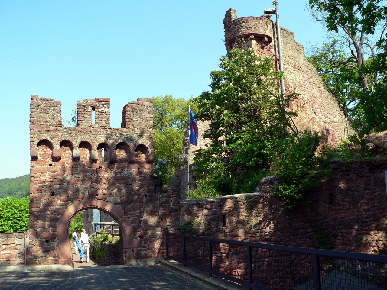
Klosterberg322 mPeakKlosterberg is home to an ancient monastery with stunning architecture. Take a guided tour to learn more about its history.
42 km
42 km
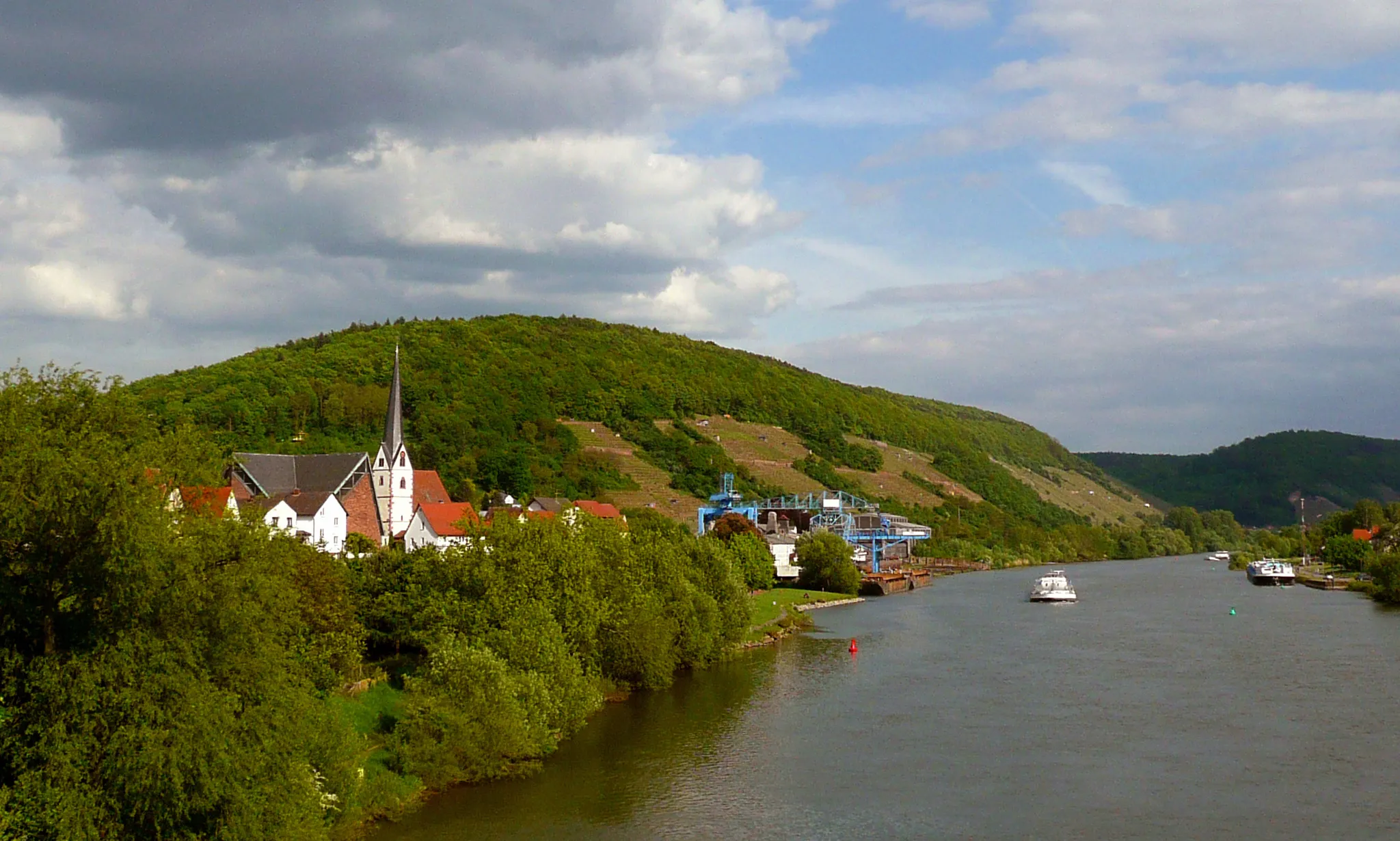
HaslochVillageHasloch is a quaint town located on the banks of the Main River. Take a stroll along the riverfront and enjoy the peaceful atmosphere.
51 km
51 km
StadtprozeltenVillageStadtprozelten is a charming medieval town with narrow streets and historic buildings. Explore the old town and visit the local museums.
62 km
62 km
Spitzenstein484 mPeakSpitzenstein is a popular lookout point with panoramic views of the surrounding landscape. It's a great spot to take photos and admire the scenery.
65 km
65 km
Finish: Mönchberg Village centerMönchberg: A charming locality for road and gravel cyclists in Unterfranken, Germany.
Cycling routes from Monchberg:
Kleinwallstadt - Plattenberg - Eschau Route Nebelkappe - Roter Buckel - Adlerstein - Bad König Route Heimbuchenthal - Dürrenberg - Rohrbrunn - Spitzenstein Route Ospis - Kleinheubach - Röllbach Route Dammberg - Schollbrunn - Auf der Schneide - Geiersberg - Waldschlösschen Route Mönchberg Loop Main Valley Ride Unterfranken Gravel Adventure Odenwald Explorer Odenwald Road Cycling Adventure The Gravel Adventure Monchberg Road Cycling Route
Cycling routes nearby: