Heimbuchenthal - Dürrenberg - Rohrbrunn - Spitzenstein Route
A gravel cycling route starting from Monchberg
Embark on an epic adventure through the stunning landscapes of Heimbuchenthal, Dürrenberg, Rohrbrunn, and Spitzenstein
Map
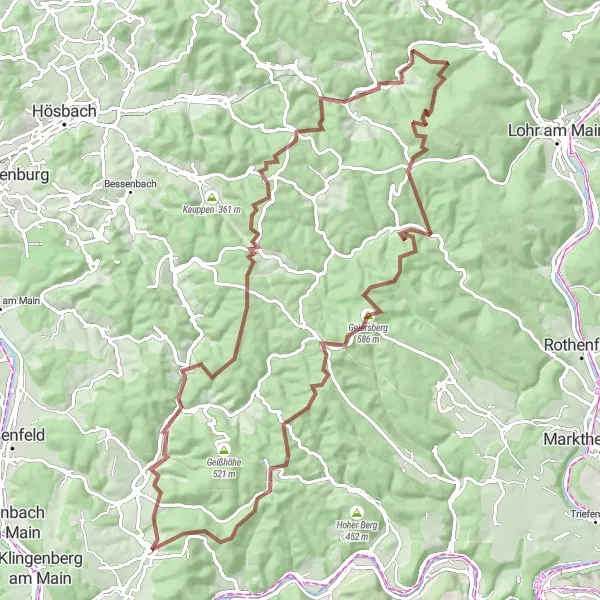
Prepare yourself for a challenging 93 km gravel route with an ascent of 1860 meters. This epic journey takes you through diverse terrain, including dense forests, rolling hills, and rocky trails.
gravel
93 km
1860 m
Savage
Route profile
Highlights on the route
0 km
0 km
Start: Mönchberg Village centerMönchberg: A charming locality for road and gravel cyclists in Unterfranken, Germany.
Mönchberg in Unterfranken, Germany is a charming locality for road and gravel cyclists. The region is characterized by beautiful vineyards and picturesque countryside views. One of the well-known climbs nearby is the Geiersthal, which provides a thrilling challenge for cyclists. Mönchberg is an excellent choice for cyclists looking for a relaxed and scenic ride.12 km
12 km
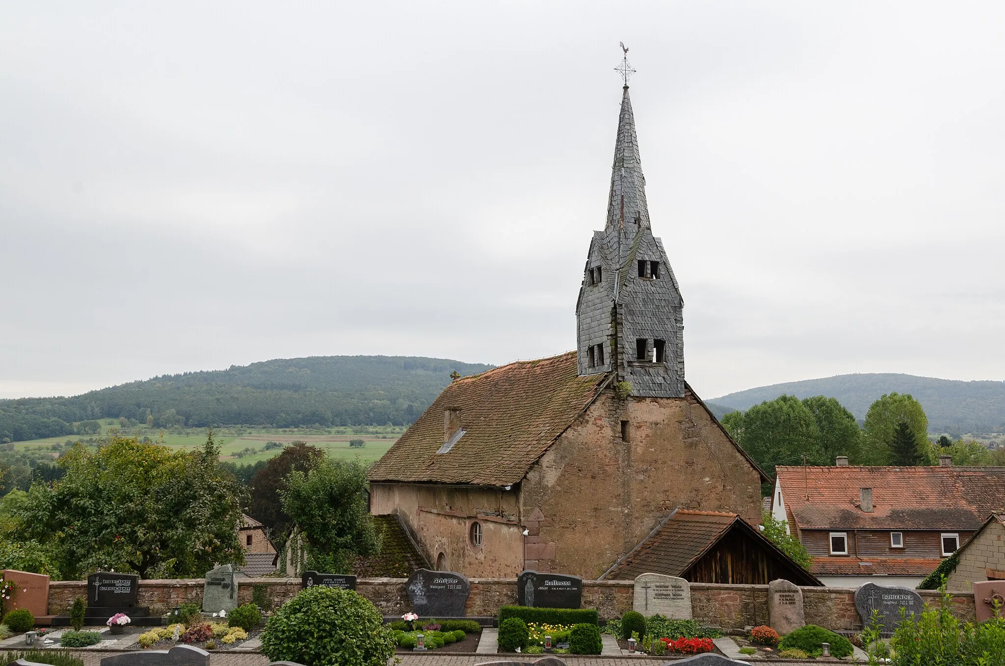
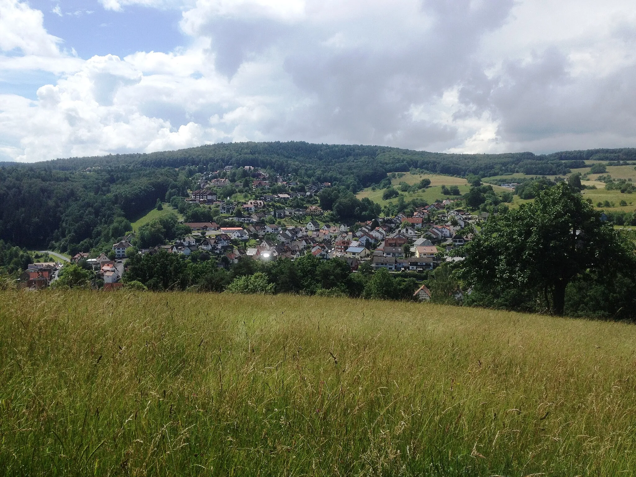
HeimbuchenthalVillageExplore the charming village of Heimbuchenthal, nestled amidst scenic forests.
15 km
15 km
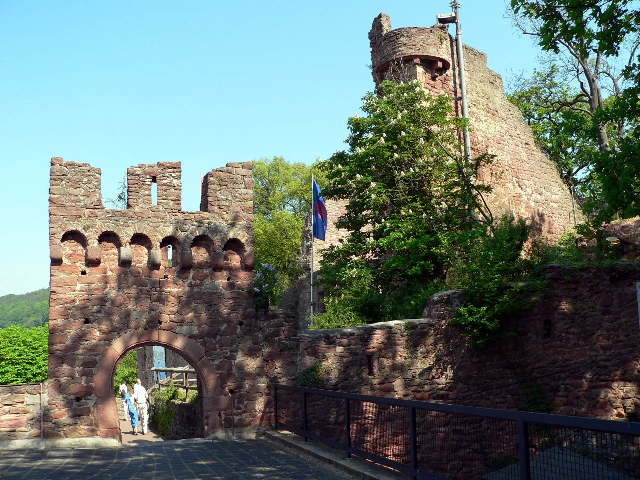
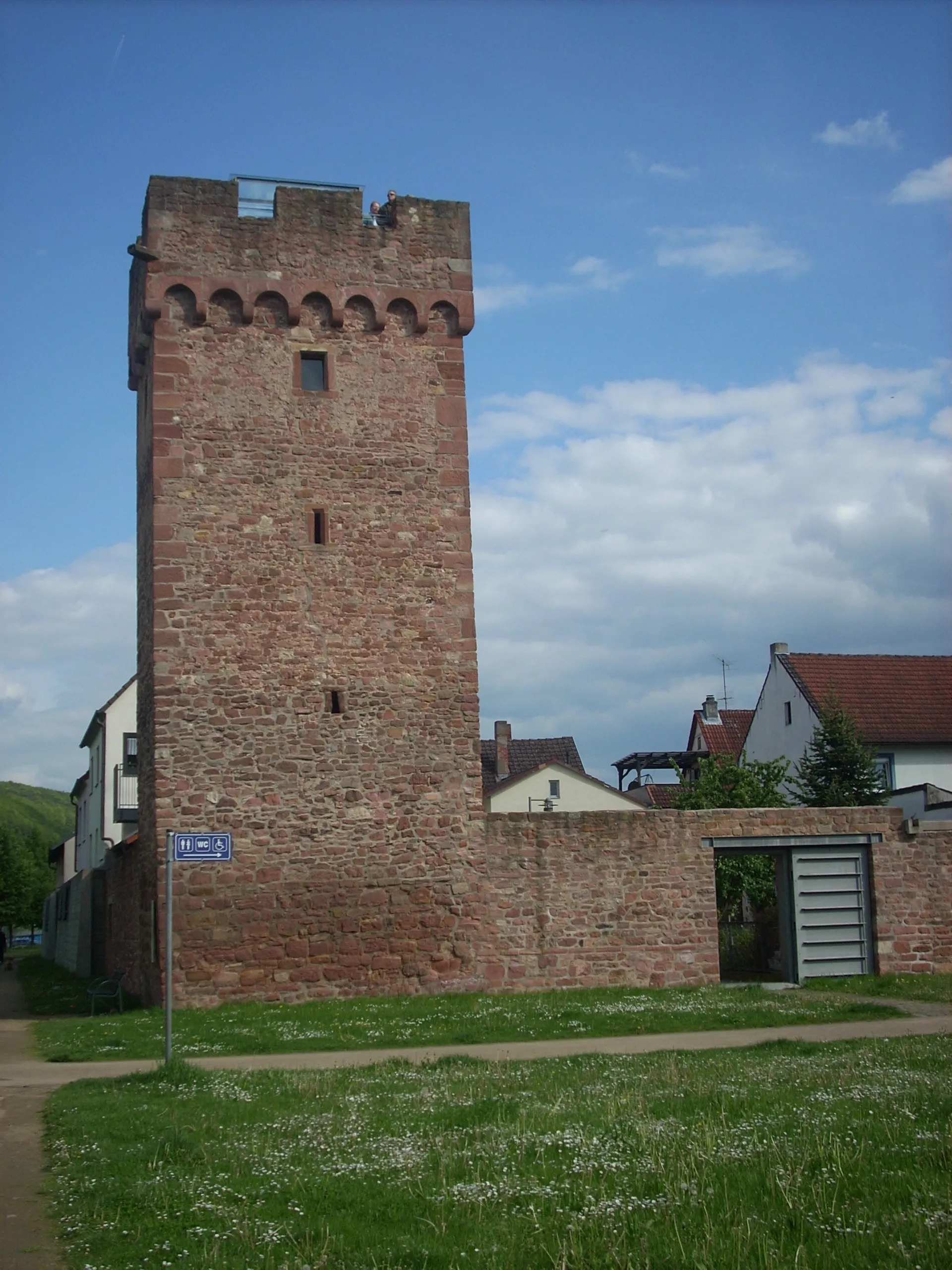
Dürrenberg422 mPeakDiscover the ruins of Dürrenberg Castle and enjoy panoramic views of the surrounding landscape.
25 km
25 km
Eichhöhe472 mPeakTake in the breathtaking views from Eichhöhe, a hill known for its stunning vistas.
41 km
41 km
KrommenthalVillageExperience the thrilling descent down Krommenthal, a challenging trail popular among mountain bikers.
54 km
54 km
Küppel515 mPeakClimb the iconic Küppel, a prominent peak offering panoramic views and a sense of achievement.
71 km
71 km
Lärchhöhe573 mPeakReach the summit of Lärchhöhe and reward yourself with enchanting views of the surrounding landscape.
74 km
74 km
RohrbrunnHamletVisit the picturesque village of Rohrbrunn and discover its historical buildings and traditional charm.
91 km
91 km
Spitzenstein484 mPeakMarvel at Spitzenstein, a rock formation that stands as a natural monument in the region.
93 km
93 km
Finish: Mönchberg Village centerMönchberg: A charming locality for road and gravel cyclists in Unterfranken, Germany.
Cycling routes from Monchberg:
Kleinwallstadt - Plattenberg - Eschau Route Nebelkappe - Roter Buckel - Adlerstein - Bad König Route Heimbuchenthal - Dürrenberg - Rohrbrunn - Spitzenstein Route Ospis - Kleinheubach - Röllbach Route Dammberg - Schollbrunn - Auf der Schneide - Geiersberg - Waldschlösschen Route Mönchberg Loop Main Valley Ride Unterfranken Gravel Adventure Odenwald Explorer Odenwald Road Cycling Adventure The Gravel Adventure Monchberg Road Cycling Route
Cycling routes nearby: