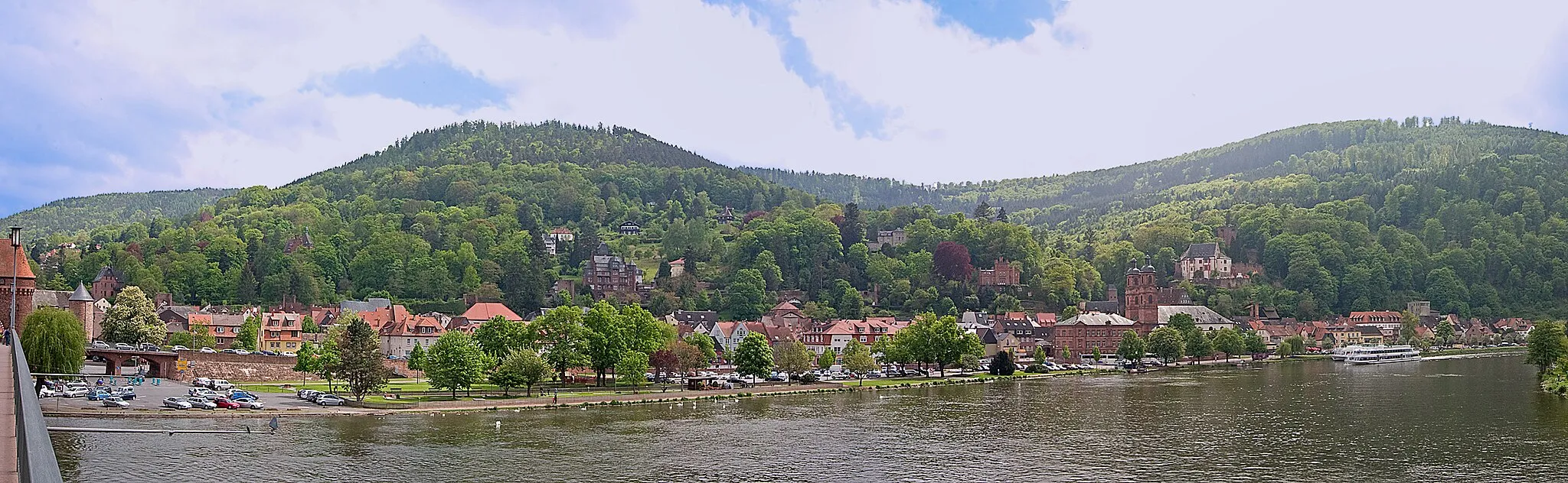
Charming cycling destination in Unterfranken, Germany.
Cycling routes from Burgstadt
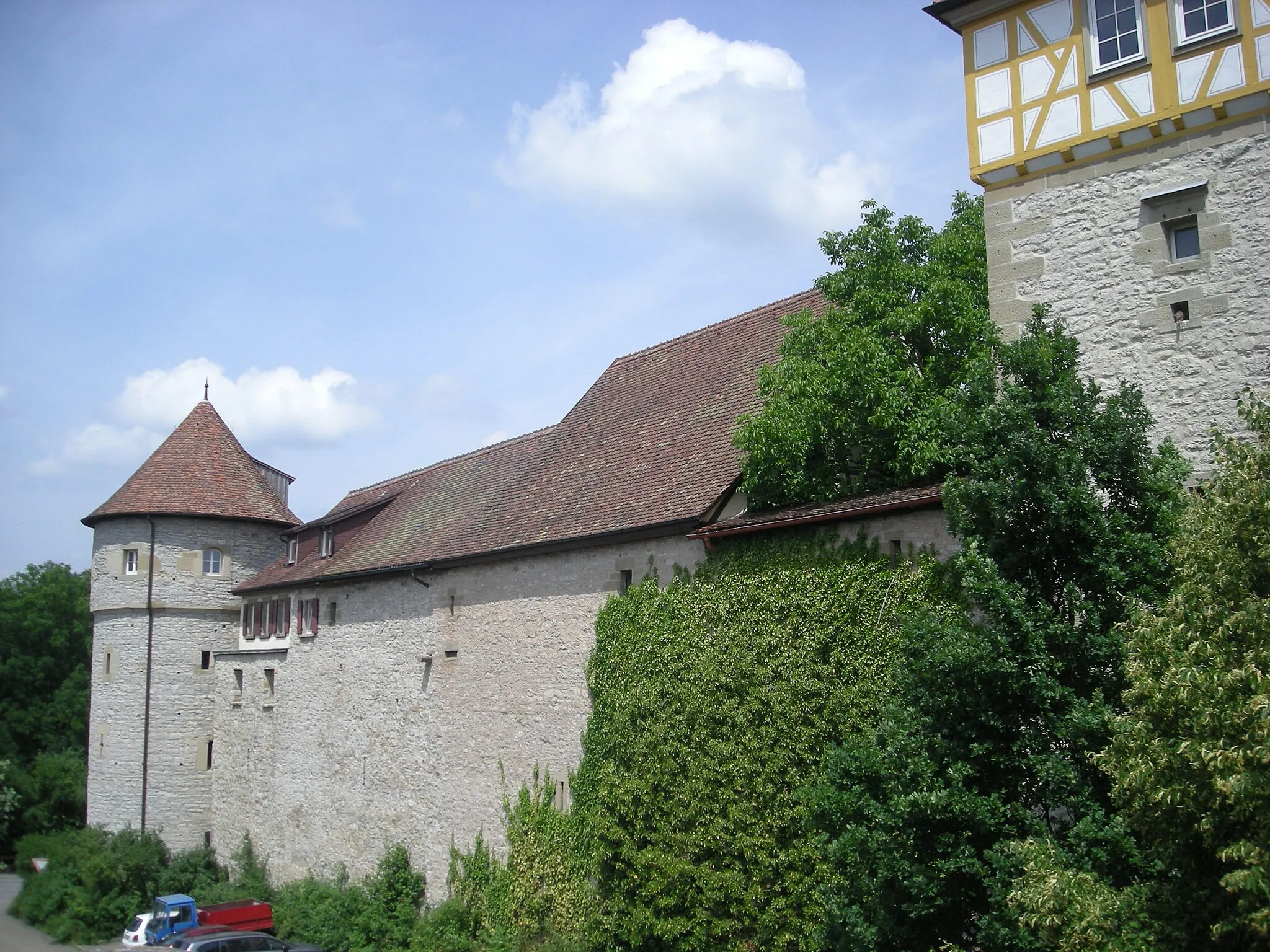
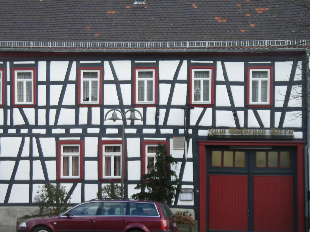
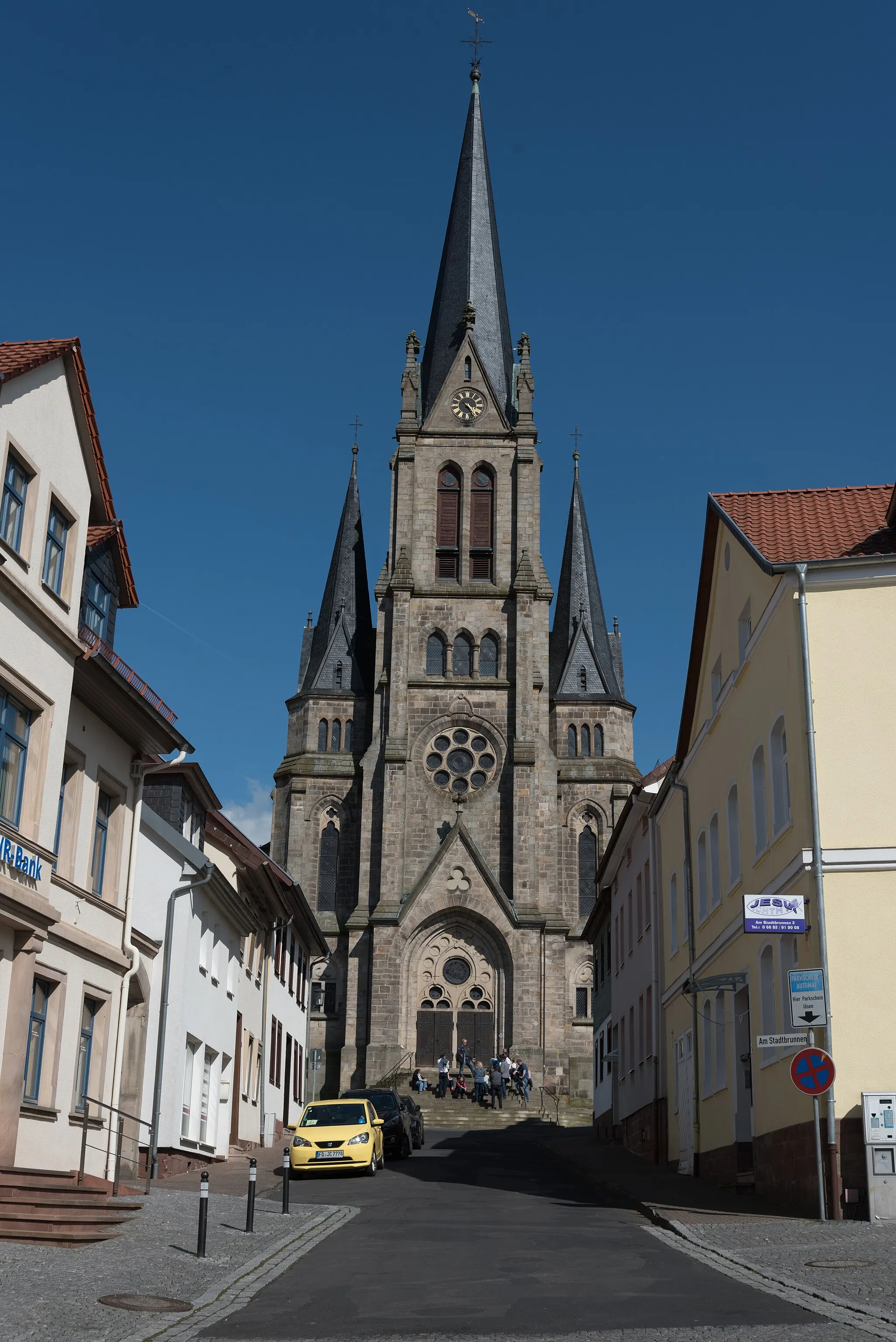
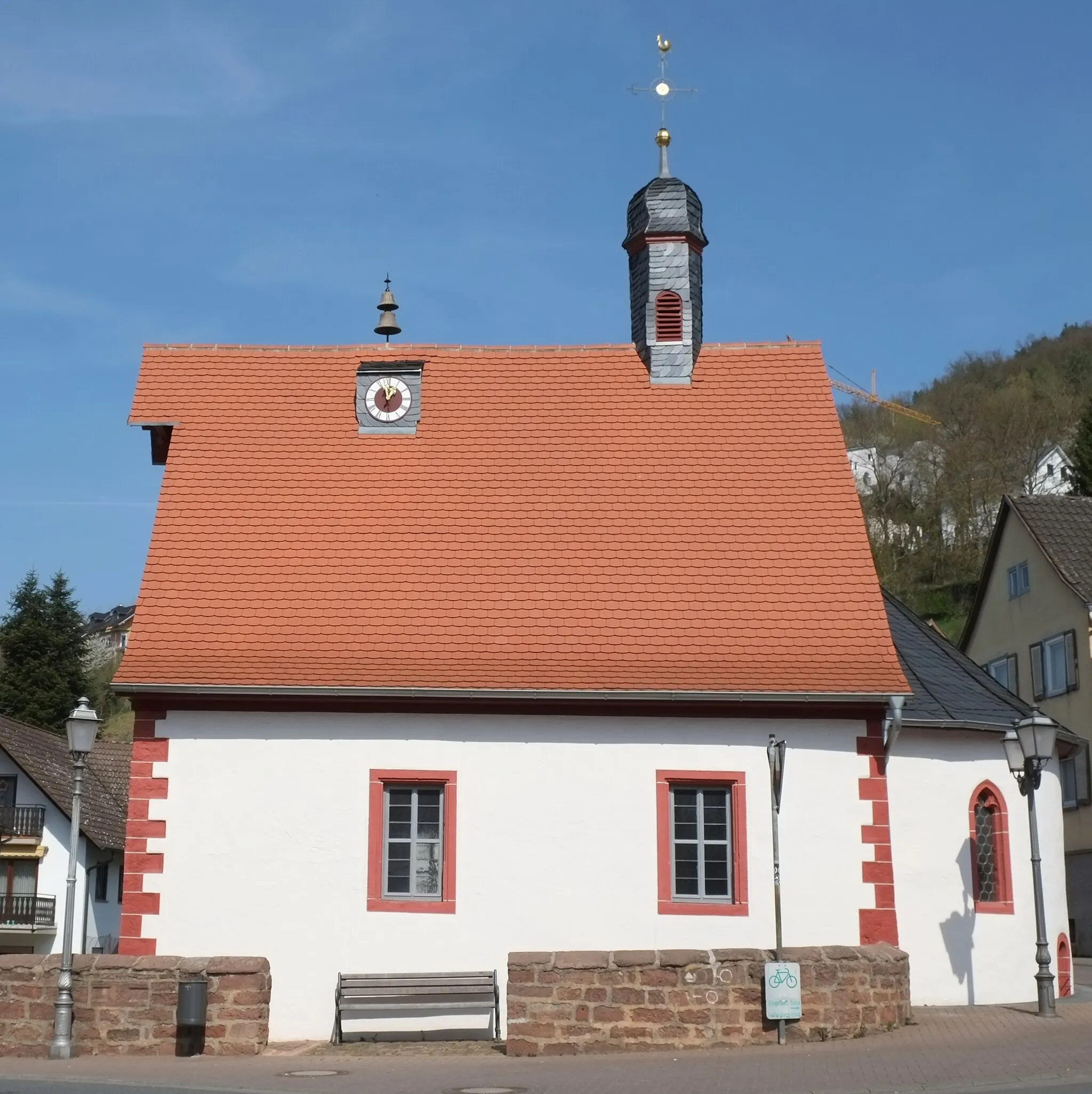
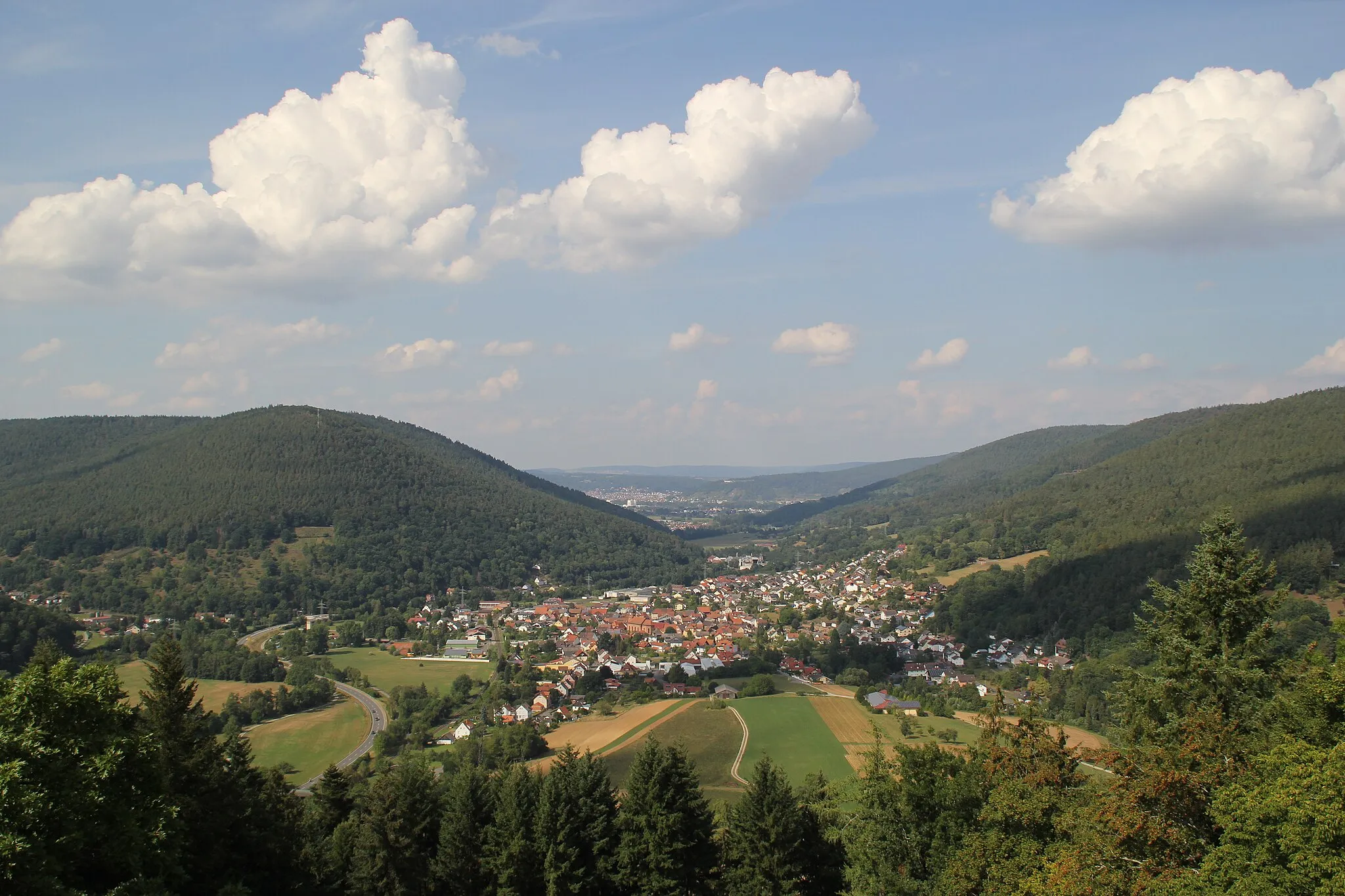
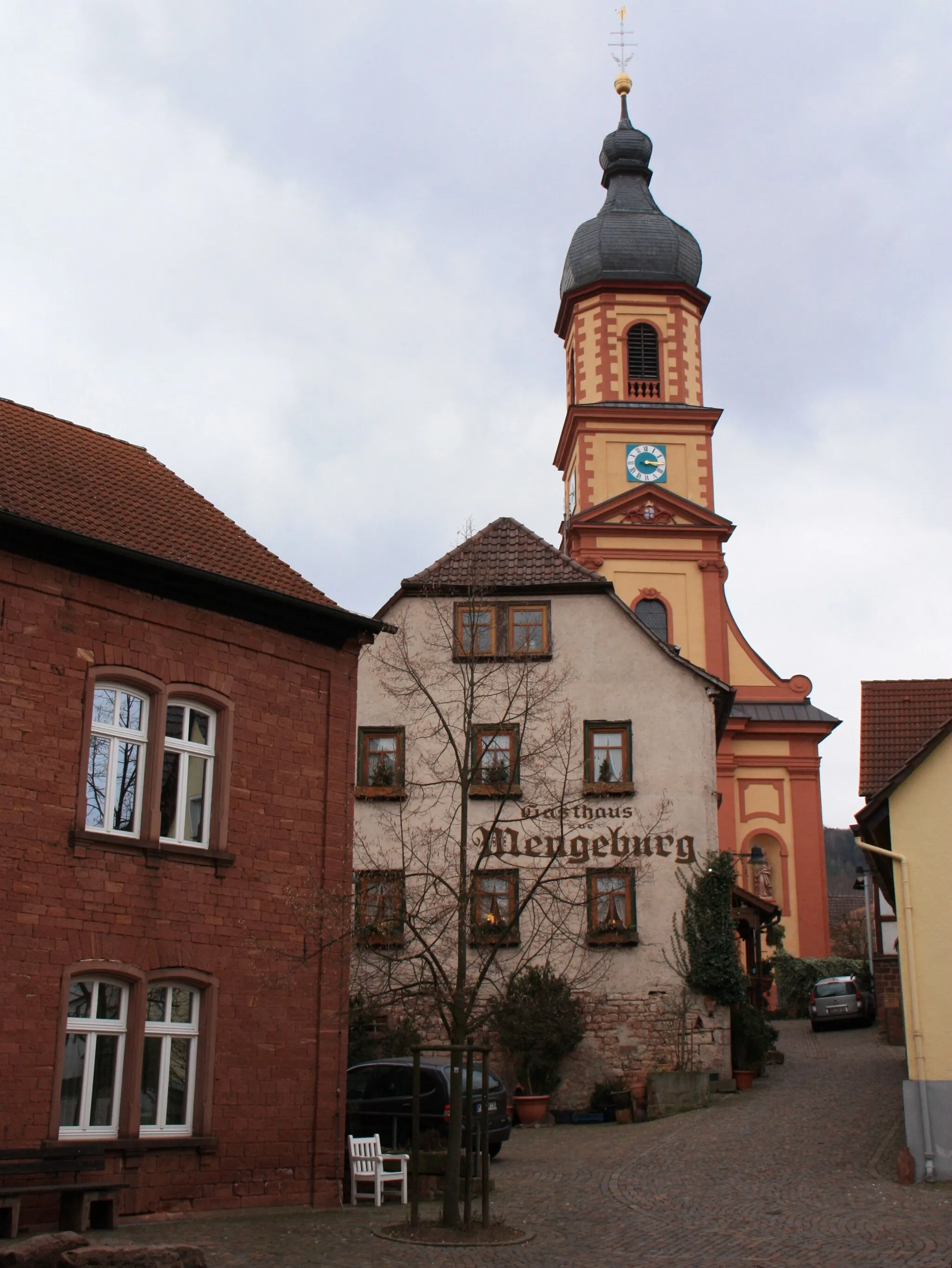
Bürgstadt is a small town located in Unterfranken, Germany. It offers a variety of scenic routes that are suitable for both road and gravel cycling. The surrounding countryside is characterized by rolling hills and picturesque landscapes, providing a pleasant riding experience. One notable cycling-related spot nearby is the Bürgstädter Trailpark, which offers mountain biking trails for all skill levels. Overall, Bürgstadt is a charming locality for cyclists to explore and enjoy the beauty of the region.
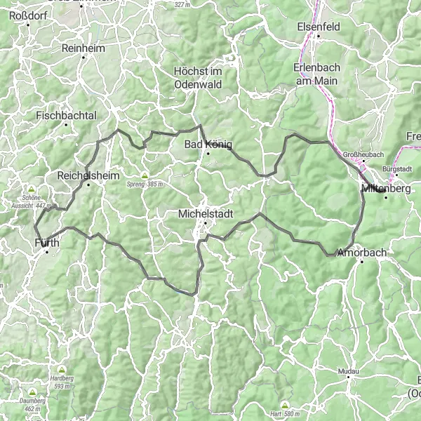
Main Valley Adventure
Cycle through the scenic Main Valley
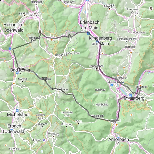
The Main Valley Adventure takes you on a scenic journey through the picturesque Main Valley in Unterfranken. With a distance of 66 km and an elevation gain of 895 m, this road cycling route is suitable for well-trained amateurs. Along the way, you can enjoy breathtaking views from the Plattform lookout point and conquer the climbs of Geißberg and Vielbrunn. Don't miss the opportunity to explore the charming towns of Bad König and Klingenberg am Main. The route also offers highlights such as the Aussichtsturm Klingenberg and the Busigberg with stunning panoramic views.
Höhenflug tour around Bürgstadt
Explore the heights and enjoy the views along this gravel route
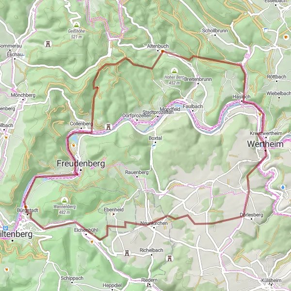
This 64 km gravel route takes you on a journey through scenic landscapes and picturesque villages. With an ascent of 1007 meters, you will experience challenging climbs and rewarding descents. Discover the stunning view of Steinbruch, Collenberg's historical charm, the serene Klosterhöhe, Kreuzwertheim's beautiful scenery, Flöhberg's nature reserve, the charming Sonderriet, Eichenbühlhöhe's panoramic overlook, and end the tour with fun questions at Abschlussfragen Waldquiz.
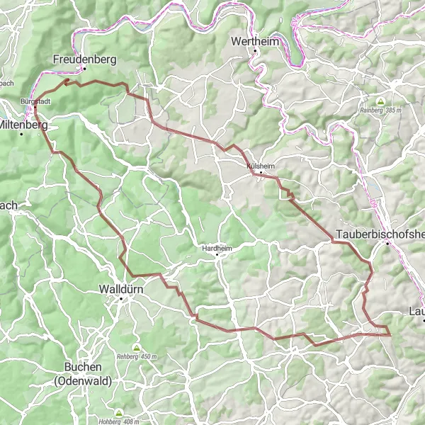
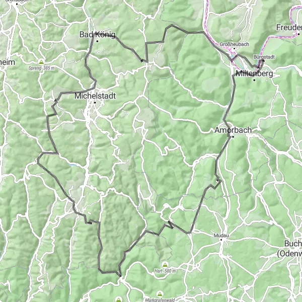
Embark on a challenging gravel adventure through beautiful landscapes near Bürgstadt.
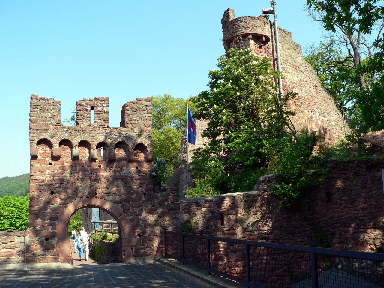
This 91 km gravel route is perfect for experienced gravel riders seeking a challenge. With an ascent of 1501 meters, it offers a mix of scenic beauty and exhilarating climbs. Highlights include the panoramic views from Bürgstädter Berg, the historical fortress of Freudenburg, the charming town of Külsheim, the demanding climb of Großer Heidberg, the serene Königheim, the picturesque Hussenbacher Höhe, the scenic Heckfeld, the challenging ascent of Eselsberg, the peaceful village of Erfeld, the stunning views from Buschberg, the impressive Leutschenberg, and the magnificent Reinhardsachsen.
Odenwald Climb Challenge
Conquer the Odenwald's toughest climbs
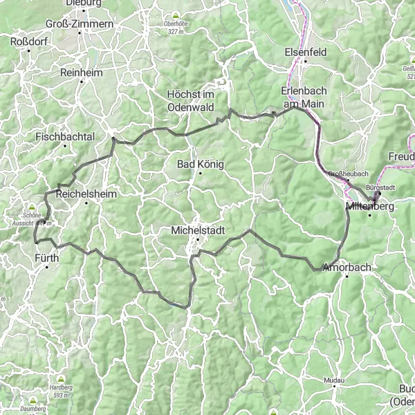
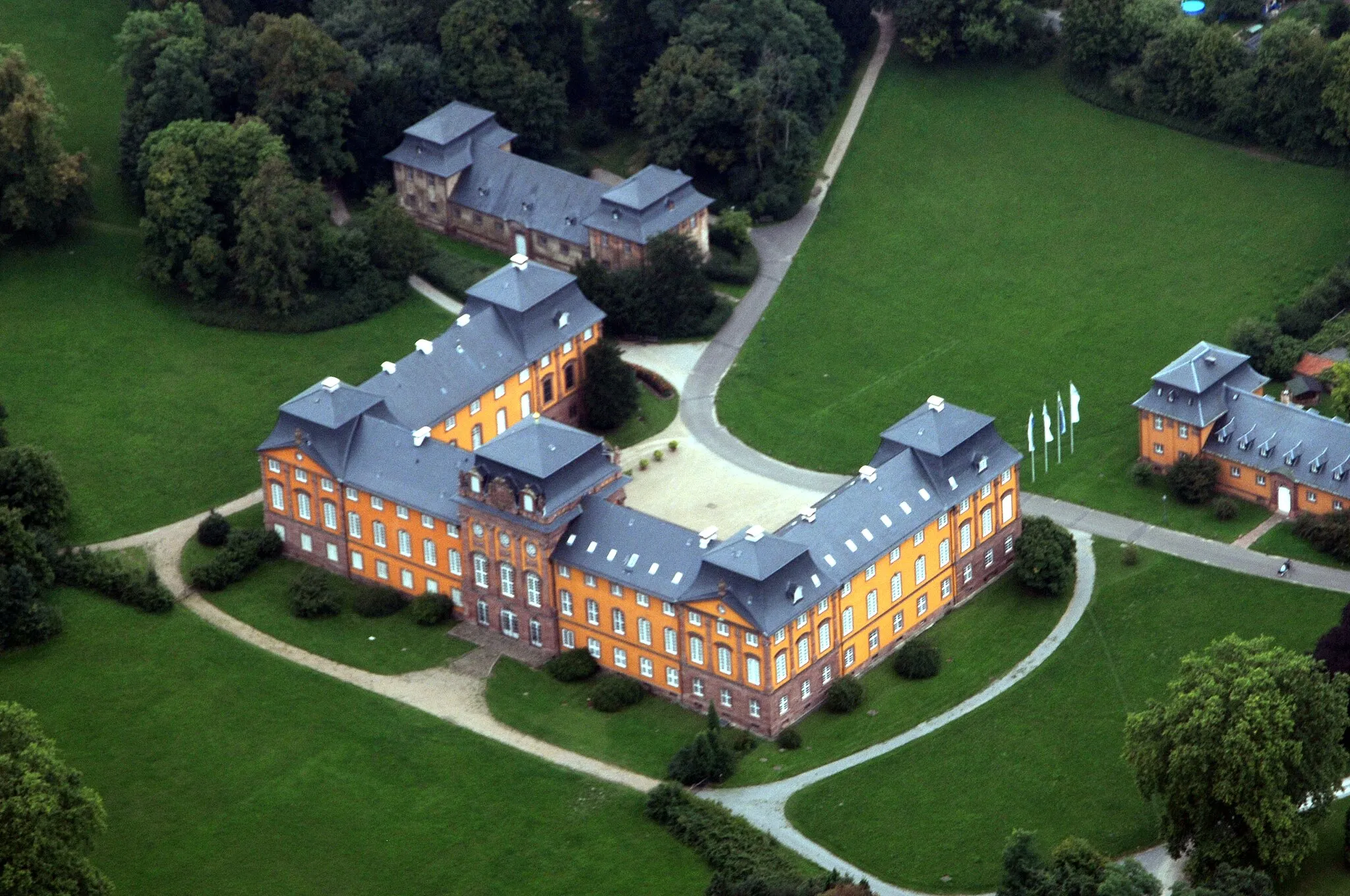
Are you ready for a challenge? The Odenwald Climb Challenge route is designed for experienced cyclists who seek an adrenaline-pumping adventure. Covering a distance of 119 km and featuring an elevation gain of 1840 m, this road cycling route will push your limits. Start in Miltenberg, a charming town with medieval roots, and enjoy the panoramic views from the Plattform lookout point along the way. Conquer challenging climbs such as Eulbach and Wisente, and explore the historic town of Erbach (Odenwald). Don't miss the stunning views from the Lengertsberg and Lindenfels peaks. End your ride at Willibald's Ruh before heading back to Bürgstadt.
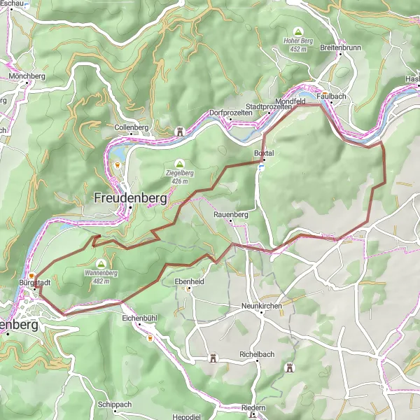
Experience the picturesque landscapes and historical charm on this gravel route near Bürgstadt.
This 42 km gravel loop offers a mix of scenic beauty and historical points of interest. With an ascent of 836 meters, it is suitable for riders of all levels. Highlights include the Bürgstädter Berg with its panoramic views, the historical fortress of Freudenburg, the idyllic town of Stadtprozelten, the tranquil Oberer Berg, the charming village of Nassig, the serene Rauenberg, and the engaging questions at Abschlussfragen Waldquiz.
Odenwald Exploration
Discover the natural beauty of the Odenwald region
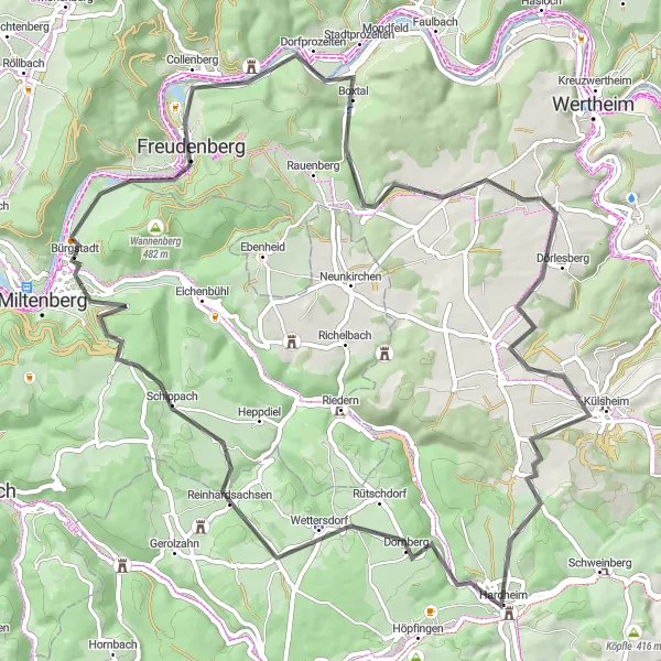
Embark on an adventurous journey through the scenic Odenwald region with the Odenwald Exploration route. This road cycling route covers a distance of 73 km and features an elevation gain of 971 m. Suitable for well-trained amateurs, this route takes you through charming villages such as Dorfprozelten and Holzturm. Enjoy the breathtaking views from the Galgenberg and Külsheim climbs and explore the historic town of Hardheim. The Glashofen village offers a peaceful setting amidst nature, and you can test your knowledge with the Abschlussfragen Waldquiz at the end of the route.
Experience the enchanting beauty of the Odenwald region
The Enchanted Odenwald route takes you on a captivating journey through the beautiful Odenwald region. With a distance of 112 km and an elevation gain of 1591 m, this road cycling route is suitable for experienced cyclists. Start your adventure in the charming town of Miltenberg and enjoy the panoramic views from the Plattform lookout point. Conquer the challenging climbs of Boxbrunn and Wisente and explore the historic town of Erbach (Odenwald). The route also passes through picturesque landscapes and highlights such as Lengertsberg and Lindenfels. End your journey at the majestic Schloss Löwenstein.
Embark on a challenging road cycling adventure in the beautiful scenery near Bürgstadt.
This 116 km road cycling route will push your limits as it takes you through charming villages and provides stunning views. With an ascent of 1579 meters, this route is perfect for the well-trained amateur cyclist looking for a challenge. Enjoy breathtaking views from the Plattform lookout point, discover the historical architecture in Amorbach, conquer the demanding climb at Sensbacher Höhe, and take a moment to relax at Willibald's Ruh. Other highlights include Kinzert, Kailbach, Lengertsberg, Hüttenthal, Heuberg, Bad König, Kleinheubach, and Sensbachtal.
Gravel Adventure
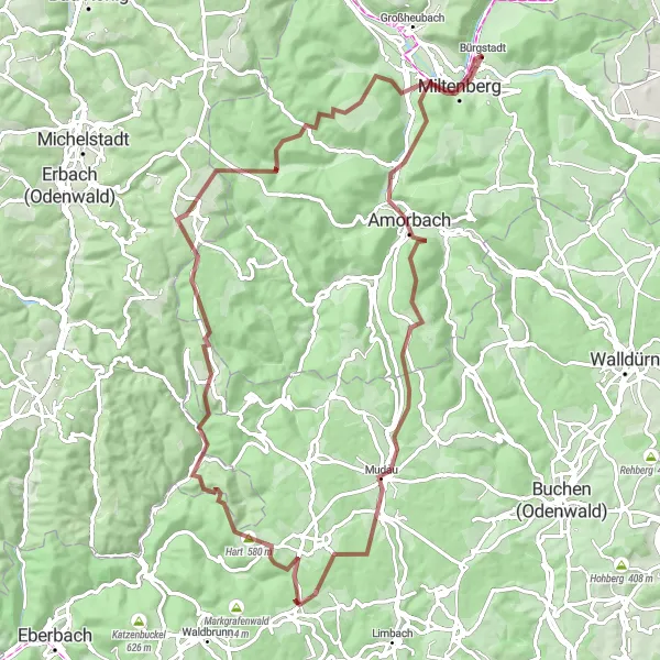
Embark on an off-road gravel adventure
The Gravel Adventure route offers a thrilling off-road cycling experience through the diverse landscapes of Unterfranken. With a distance of 86 km and an elevation gain of 1743 m, this gravel cycling route is suitable for experienced cyclists seeking an adrenaline rush. Kickstart your adventure in Miltenberg, a historic town with charming streets. Along the way, you can spot the iconic Fliegenpilz mushrooms and immerse yourself in nature in Mudau and Reisenbach. Don't miss the Roter Buckel climb and the enchanting views from the top of Würzberg. The route also takes you to the Plattform lookout point for breathtaking vistas, and ends with a visit to the Mildenburg castle.
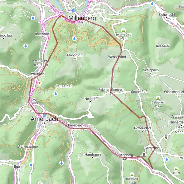
Cycle through the historical town of Miltenberg and enjoy scenic stops along the way.
This 32 km gravel route provides a shorter but rewarding cycling experience near Bürgstadt. With an ascent of 626 meters, it is suitable for riders of all levels. Explore the historical town of Miltenberg, admire the Gerolzahn castle ruins, stop by the Fliegenpilz for some refreshments, take in the panoramic views from the Plattform lookout point, and drop by the Mildenburg before finishing your ride.
Cycling routes nearby:


Nearby regions: