Odenwald Climb Challenge
A road cycling route starting from Burgstadt
Conquer the Odenwald's toughest climbs
Map
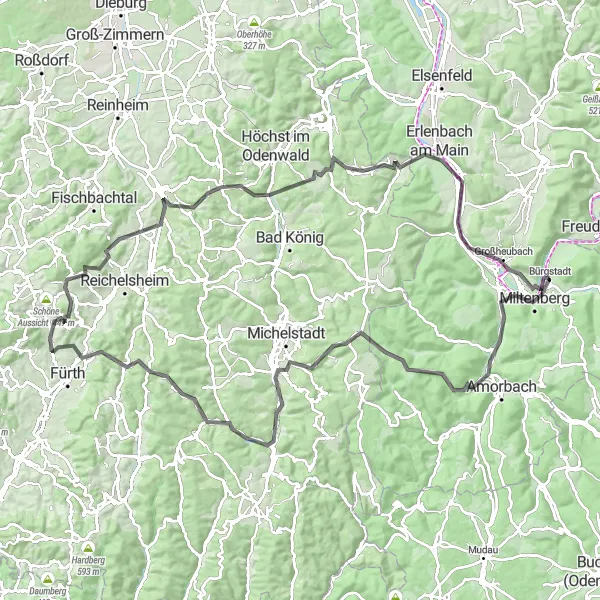
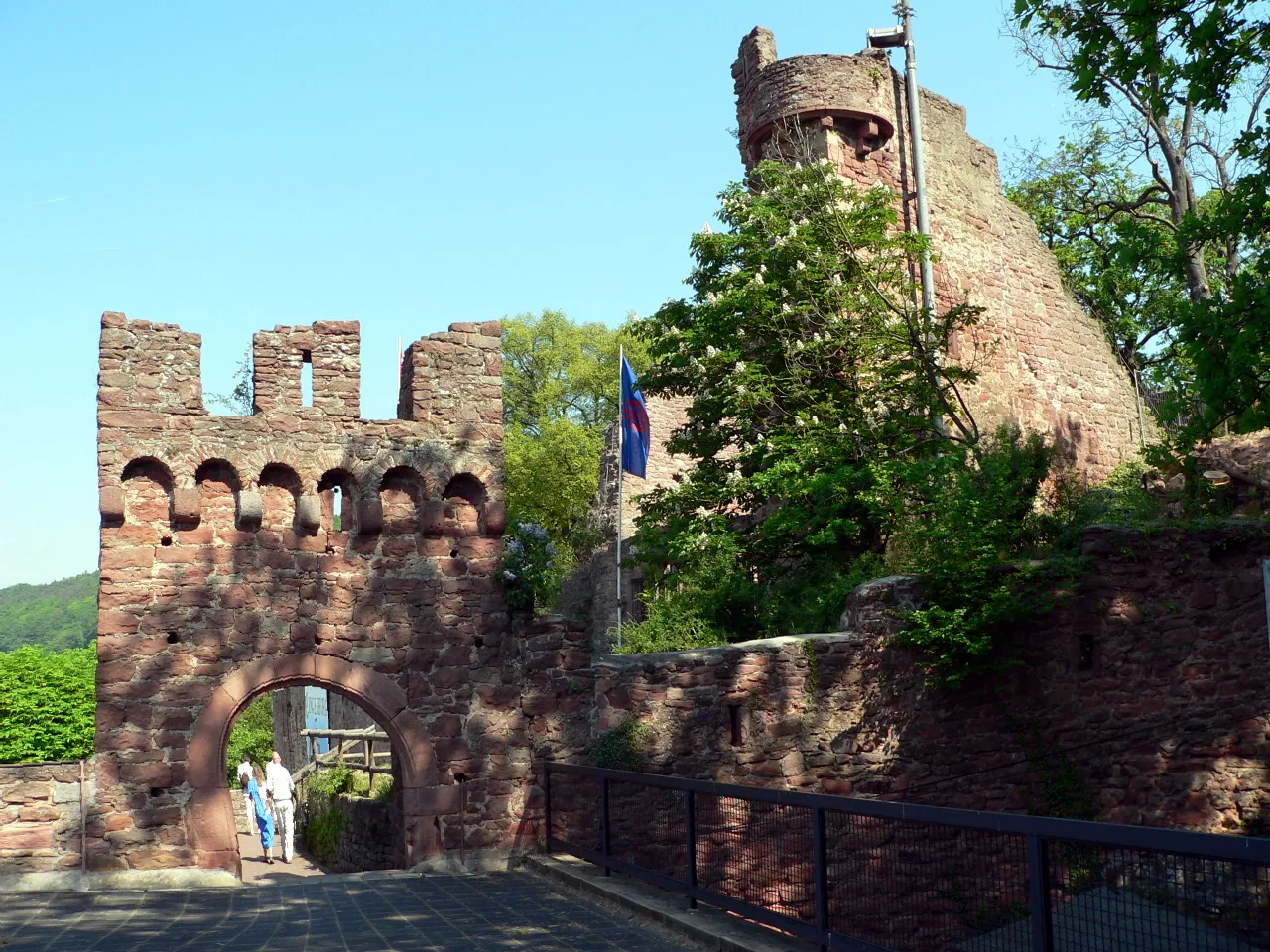
Are you ready for a challenge? The Odenwald Climb Challenge route is designed for experienced cyclists who seek an adrenaline-pumping adventure. Covering a distance of 119 km and featuring an elevation gain of 1840 m, this road cycling route will push your limits. Start in Miltenberg, a charming town with medieval roots, and enjoy the panoramic views from the Plattform lookout point along the way. Conquer challenging climbs such as Eulbach and Wisente, and explore the historic town of Erbach (Odenwald). Don't miss the stunning views from the Lengertsberg and Lindenfels peaks. End your ride at Willibald's Ruh before heading back to Bürgstadt.
road
119 km
1840 m
Savage
Route profile
Highlights on the route
0 km
0 km
Start: Bürgstadt Village centerBürgstadt: Charming cycling destination in Unterfranken, Germany.
Bürgstadt is a small town located in Unterfranken, Germany. It offers a variety of scenic routes that are suitable for both road and gravel cycling. The surrounding countryside is characterized by rolling hills and picturesque landscapes, providing a pleasant riding experience. One notable cycling-related spot nearby is the Bürgstädter Trailpark, which offers mountain biking trails for all skill levels. Overall, Bürgstadt is a charming locality for cyclists to explore and enjoy the beauty of the region.2 km
2 km
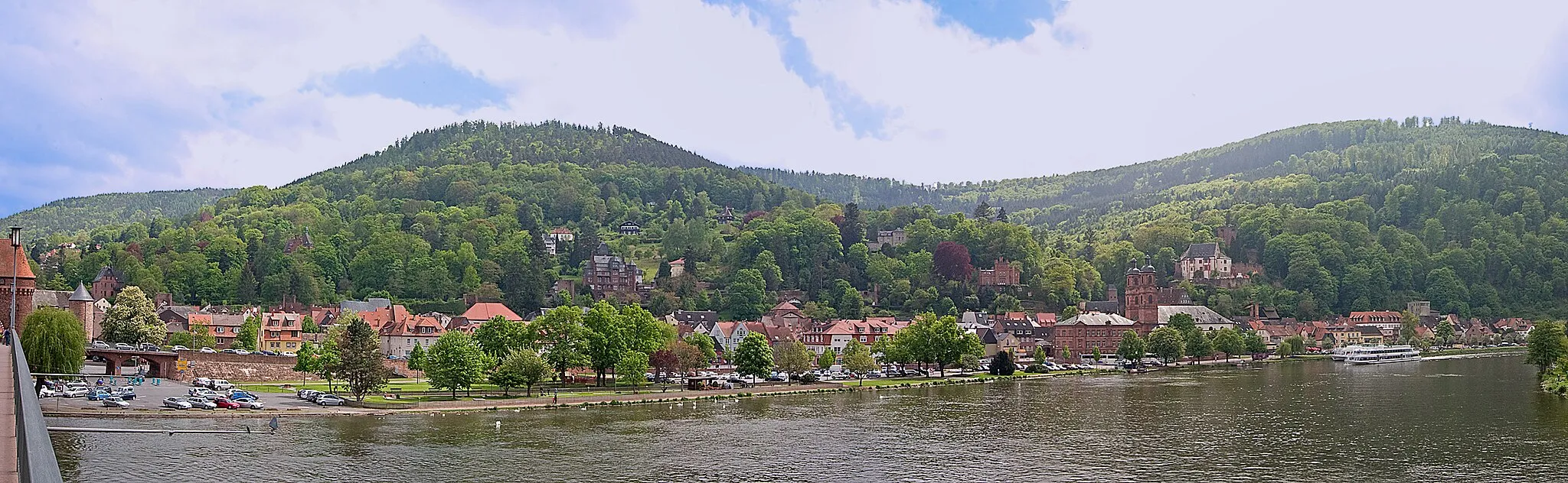
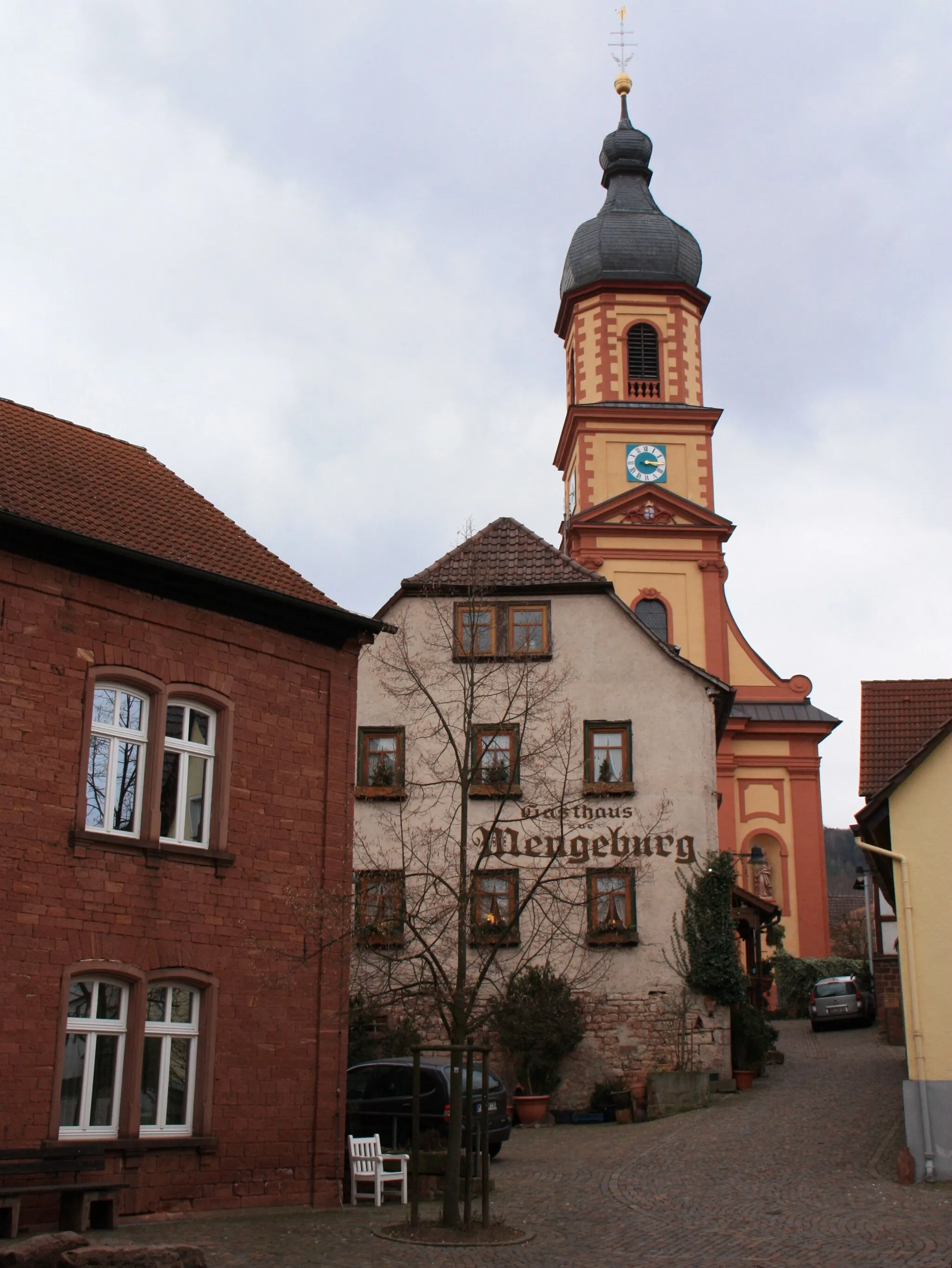
MiltenbergTownMiltenberg is a historic town with well-preserved half-timbered houses.
3 km
3 km
PlattformViewpointThe Plattform lookout point offers breathtaking views over the Odenwald region.
23 km
23 km
EulbachHamletEulbach is a challenging climb that rewards you with stunning views.
23 km
23 km
WisenteViewpointWisente is a legendary climb known for its tough gradients and rewarding views.
31 km
31 km
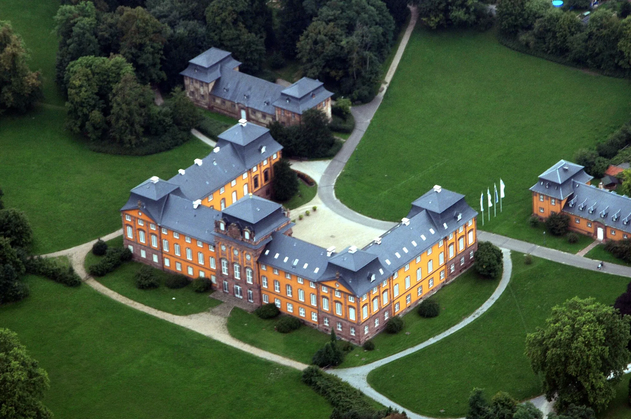
Erbach (Odenwald)TownErbach (Odenwald) is a historic town with a charming old town area.
43 km
43 km
Lengertsberg387 mPeakLengertsberg is a peak where you can enjoy panoramic views of the surrounding landscapes.
59 km
59 km
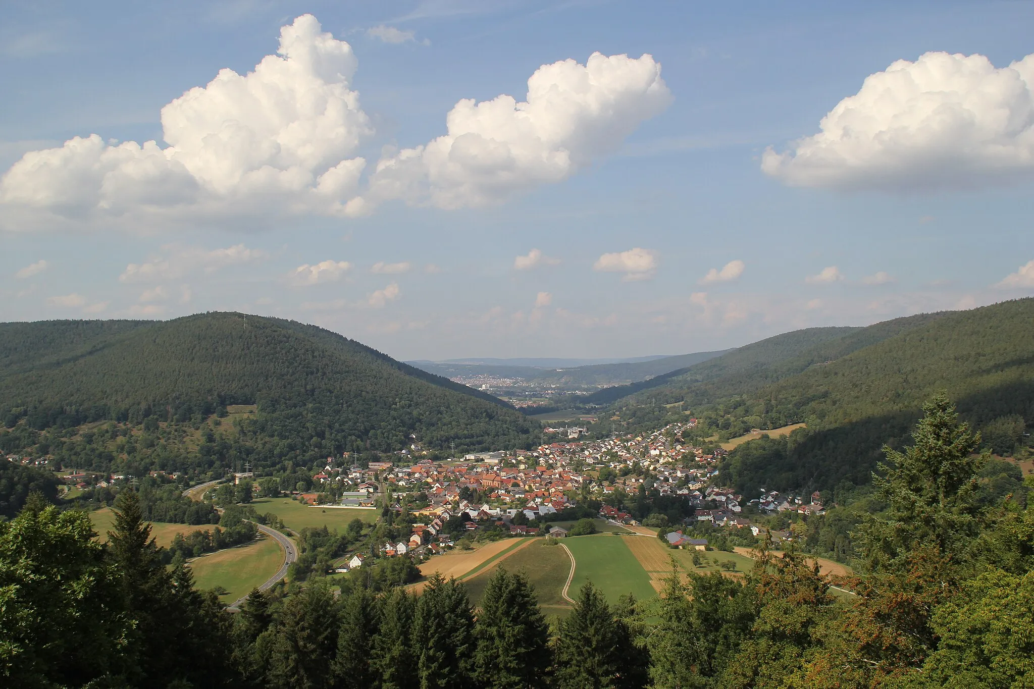
EulsbachHamletEulsbach is a challenging climb that tests your climbing skills.
62 km
62 km
Lindenfels274 mMountain PassLindenfels is a picturesque town known for its medieval castle and stunning views.
77 km
77 km
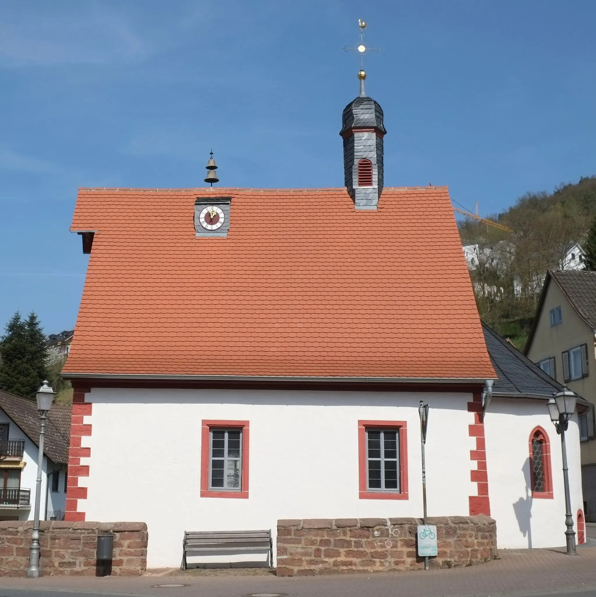
BrensbachVillageBrensbach offers scenic landscapes and quiet roads for cycling enthusiasts.
80 km
80 km
Steinberg362 mPeakSteinberg is a peak with spectacular views of the Odenwald region.
97 km
97 km
Kirschberg317 mPeakKirschberg is a peaceful village surrounded by beautiful nature.
105 km
105 km
Klingenberg am MainTownKlingenberg am Main is known for its historic town center and charming streets.
114 km
114 km
Willibald's RuhViewpointWillibald's Ruh is a popular viewpoint where you can take a rest and enjoy the scenic landscapes.
119 km
119 km
BürgstadtVillageBürgstadt, the starting point of the route, is a charming town with a rich history.
119 km
119 km
Finish: Bürgstadt Village centerBürgstadt: Charming cycling destination in Unterfranken, Germany.
Cycling routes from Burgstadt:
Höhenflug tour around Bürgstadt Challenging Road Cycling Tour from Bürgstadt Scenic Gravel Loop around Bürgstadt Challenging Gravel Adventure from Bürgstadt Miltenberg Discoveries Main Valley Adventure Odenwald Exploration Enchanted Odenwald Odenwald Climb Challenge Gravel Adventure The Bürgstadt Bike Adventure
Cycling routes nearby: