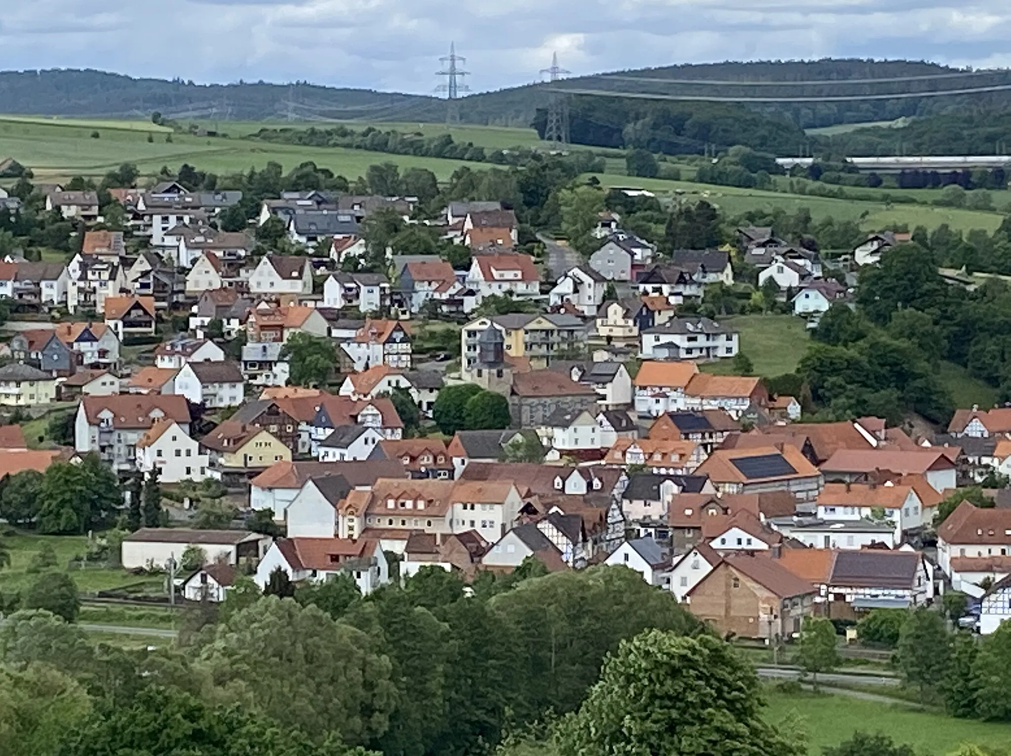
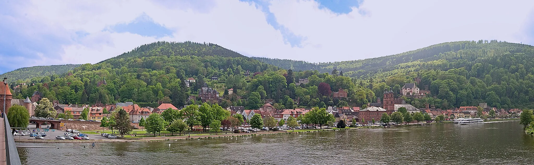
Idyllic Cycling Retreat in Unterfranken
Cycling routes from Eichenbuhl
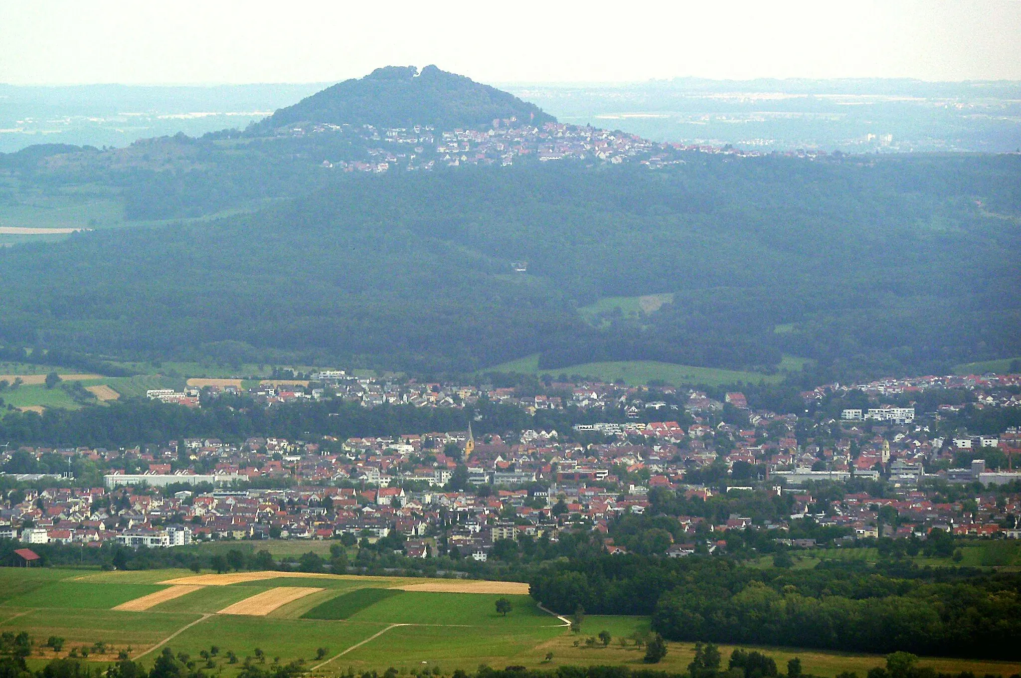
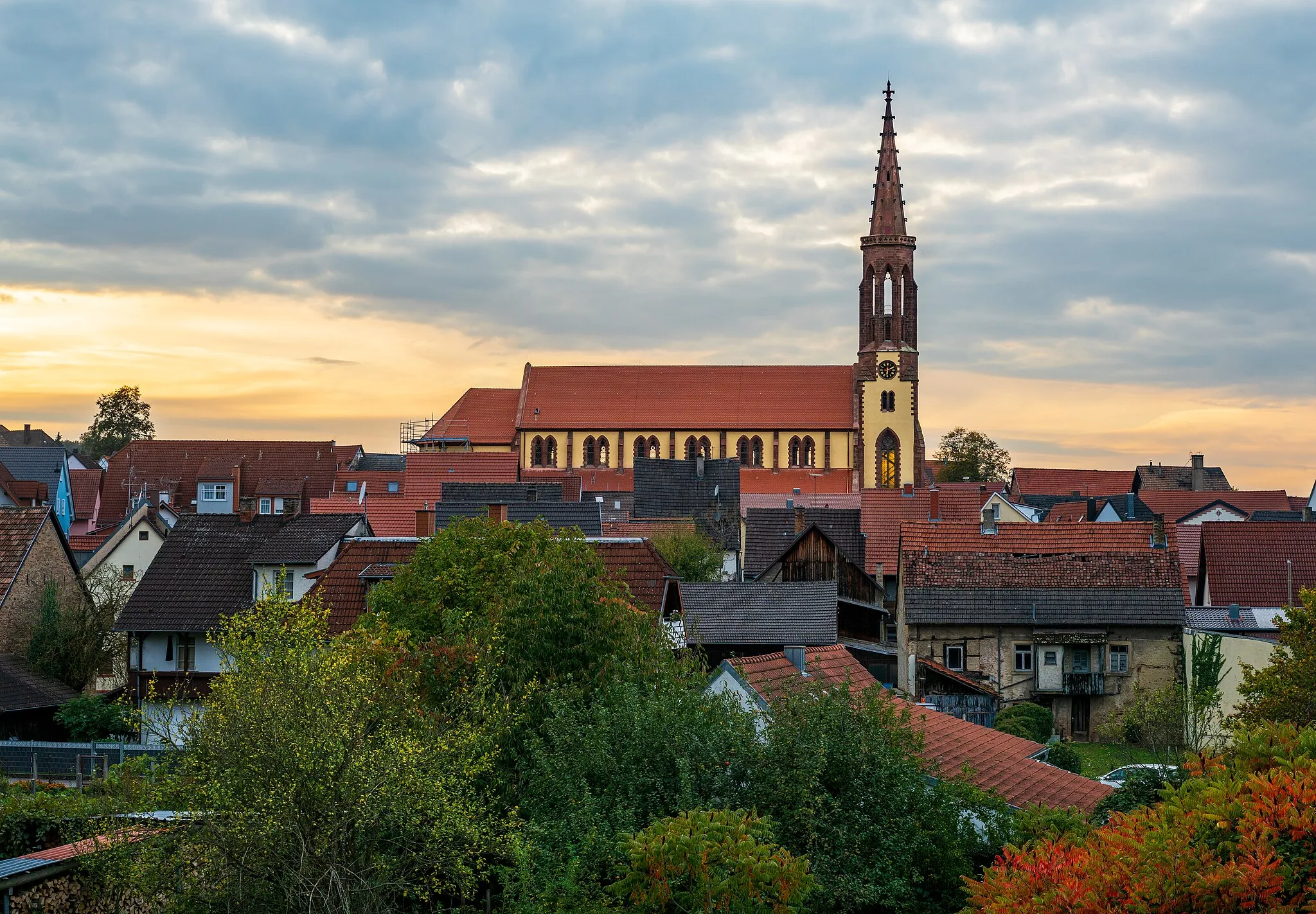
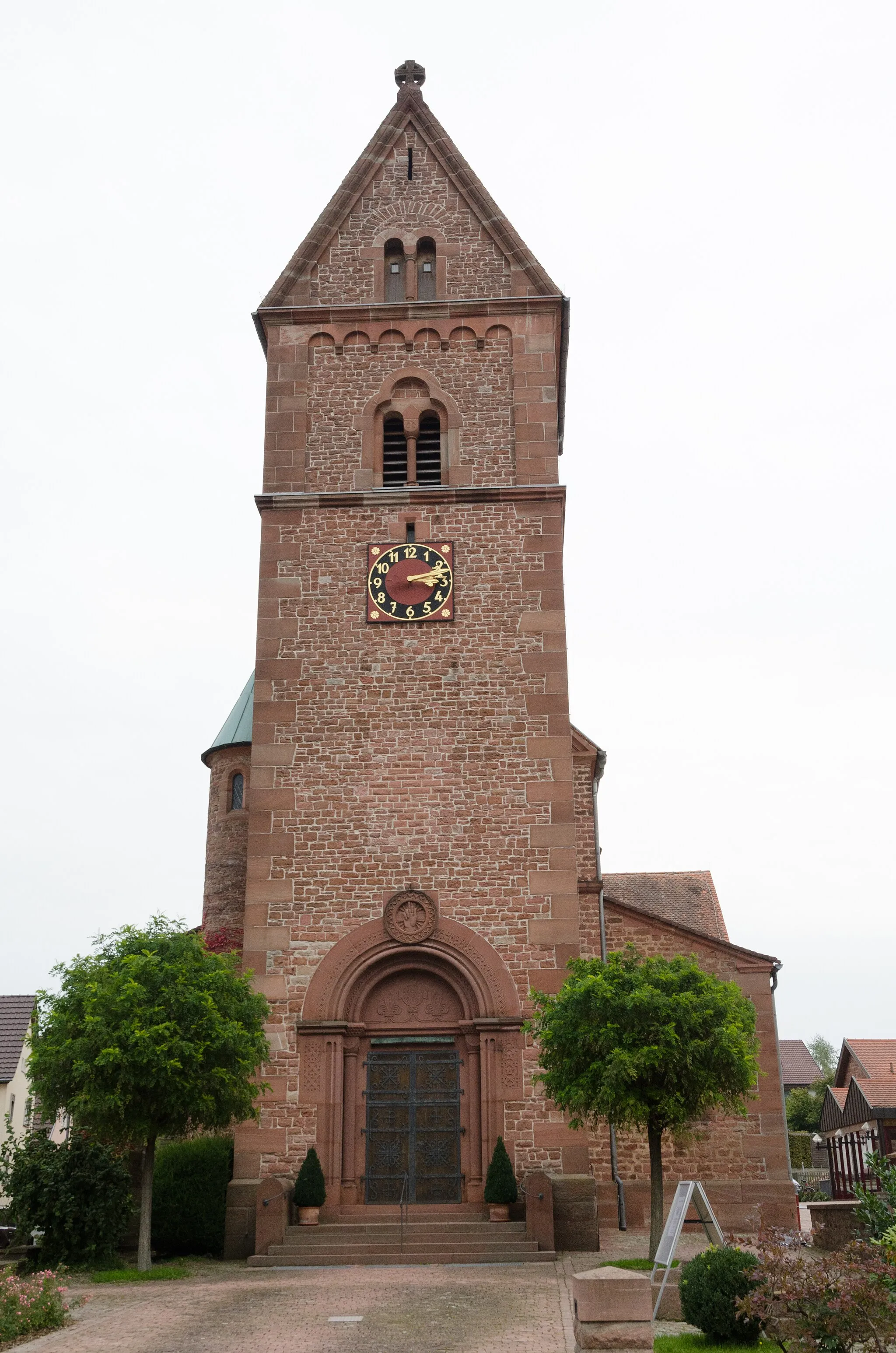
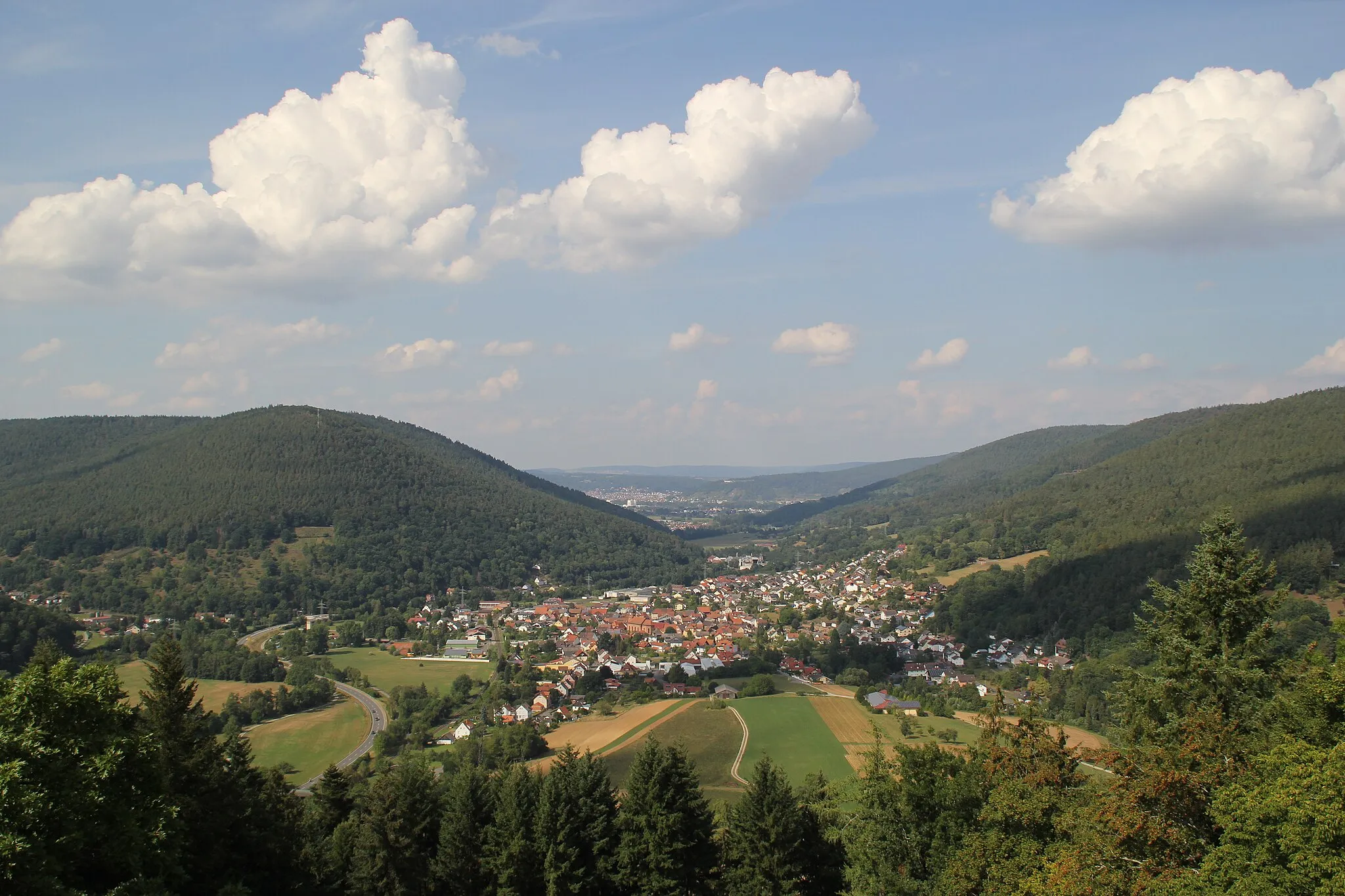
Eichenbühl in Unterfranken, Germany provides a delightful cycling experience for road and gravel cyclists. Located in a region known for its picturesque landscapes, Eichenbühl offers scenic routes through vineyards, forests, and quaint towns. Cyclists can explore the beautiful Spessart Mountains and challenging ascents such as the nearby Mespelbrunn Castle climb. The locality also features well-maintained cycling paths, ensuring safe and enjoyable riding experiences. Overall, with its idyllic surroundings and cycling-friendly infrastructure, Eichenbühl receives a rank of 3.
Explore scenic gravel paths and conquer the heights of Sonderriet
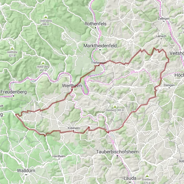
This gravel cycling route takes you through the scenic landscapes of Unterfranken to the summit of Sonderriet. Spanning 111 kilometers with an ascent of 1614 meters, it is a challenging ride for gravel enthusiasts. Along the way, you will encounter diverse highlights such as the village of Sonderriet with its breathtaking views and the historic town of Külsheim with its well-preserved city walls. With a difficulty rating of 4 and an epicness score of 3, this route offers both stunning scenery and a demanding terrain.
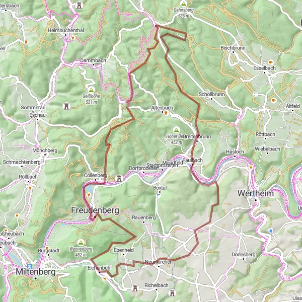
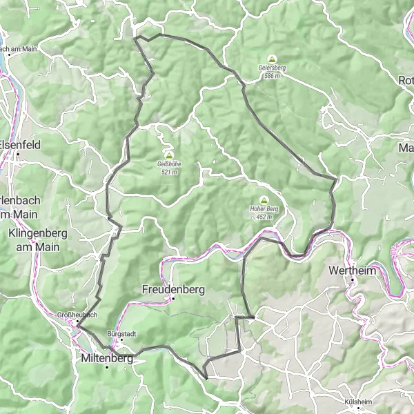
Discover the beauty of Eichenbühl and surrounding areas on this thrilling gravel adventure
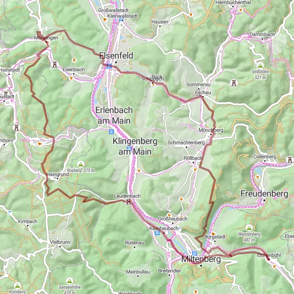
Embark on a gravel adventure through Eichenbühl and experience the breathtaking landscapes of Unterfranken. With a total ascent of 1231 meters and a distance of 79 kilometers, this route offers a challenging yet rewarding ride. Explore highlights such as Miltenberg, Plattform, Schloss Laudenbach, Arnheiter Berg, Obernburg am Main, Eschau, Ospis, and enjoy the excitement of completing the Abschlussfragen Waldquiz.
Ride through vineyards and historic towns to reach the summit of Nassig
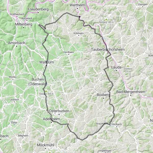
This road cycling route takes you through the picturesque landscapes of Unterfranken to the scenic summit of Nassig. With a distance of 144 kilometers and an ascent of 2037 meters, it is a challenging ride for experienced cyclists. Along the way, you will encounter diverse highlights such as the town of Tauberbischofsheim with its rich history and the charming village of Unterschüpf with its idyllic atmosphere. With a difficulty rating of 5 and an epicness score of 4, this route is a true adventure.
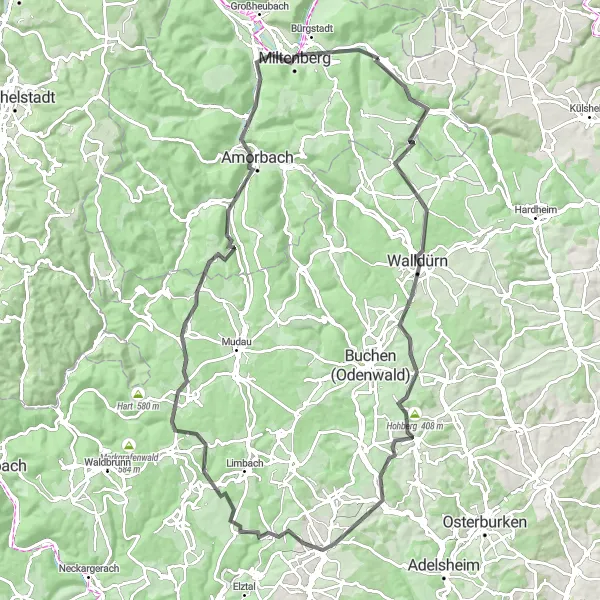
Cycle through Odenwald's picturesque gravel trails with highlights including Kaltenbrunn, Buchen (Odenwald), and Mudau.
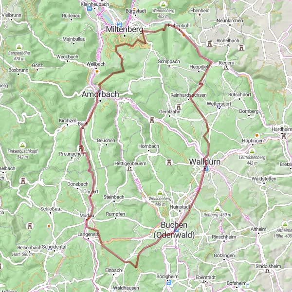
This route takes you through the scenic Odenwald region in Unterfranken, Germany. The gravel trails offer a mix of challenging climbs and beautiful landscapes. With a total distance of 71 km and an ascent of 1193 m, this route is suitable for experienced cyclists. The highlights along the route include Kaltenbrunn, a charming village known for its traditional architecture, and Buchen (Odenwald), a historic town with a medieval atmosphere. Mudau, another highlight, is an idyllic village surrounded by lush green meadows and forests. Overall, this route provides a unique opportunity to explore the natural beauty and cultural heritage of Odenwald.
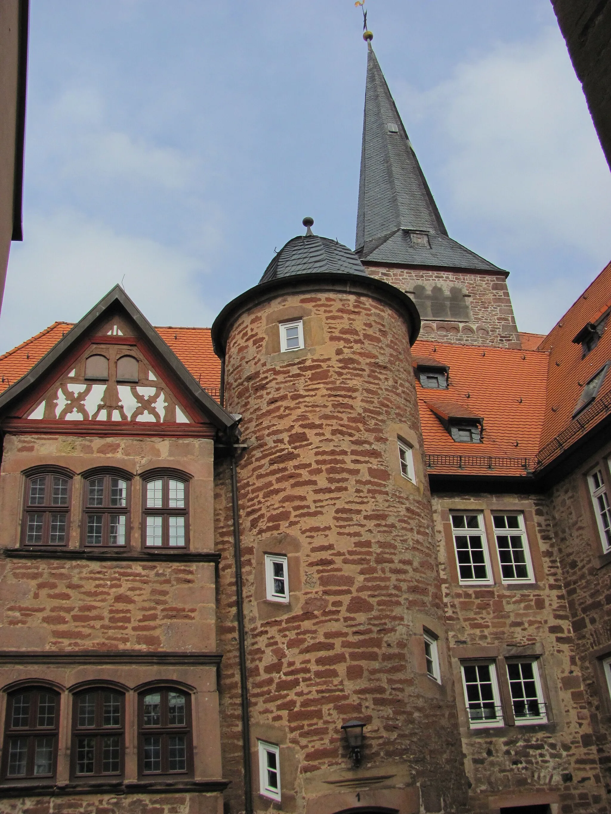
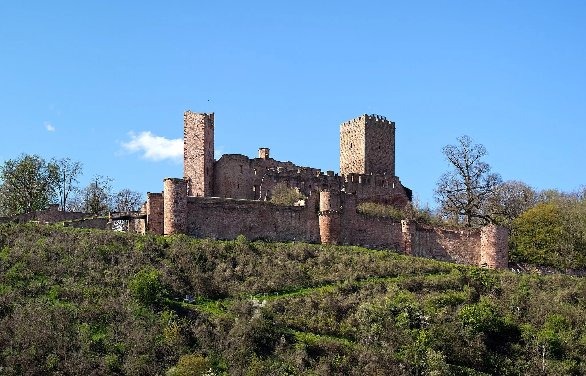
Experience the beauty of Holzturm and enjoy a ride through the historic town of Külsheim
This road route takes you on a scenic journey through picturesque villages and offers stunning views throughout. One highlight along the way is Holzturm, a wooden tower situated 13 km into the route. Climb up the tower to enjoy panoramic views of the Main River and surrounding landscapes. Another notable highlight is Külsheim, known for its charming old town and impressive architecture. With a difficulty level of 4, this route is challenging but rewarding for experienced cyclists.
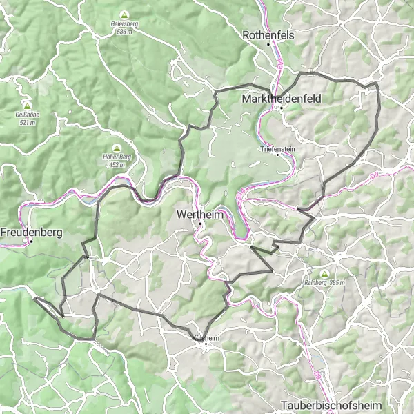
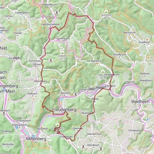
Embark on an adventurous journey through the enchanting trails of Spessart region, with highlights including Collenberg, Schwarzkopf, and Faulbach.
This thrilling gravel cycling route explores the Spessart region, renowned for its idyllic forests and rolling hills. With a distance of 75 km and an ascent of 1479 m, this route is suitable for seasoned cyclists seeking a challenging adventure. Collenberg, a highlight along the way, invites you to explore its medieval castle and picturesque old town. Schwarzkopf, a scenic hill with panoramic views, offers a rewarding climb. Faulbach, another highlight, is a charming village with timber-frame houses and a tranquil atmosphere. This route guarantees an unforgettable experience in the beautiful Spessart region.
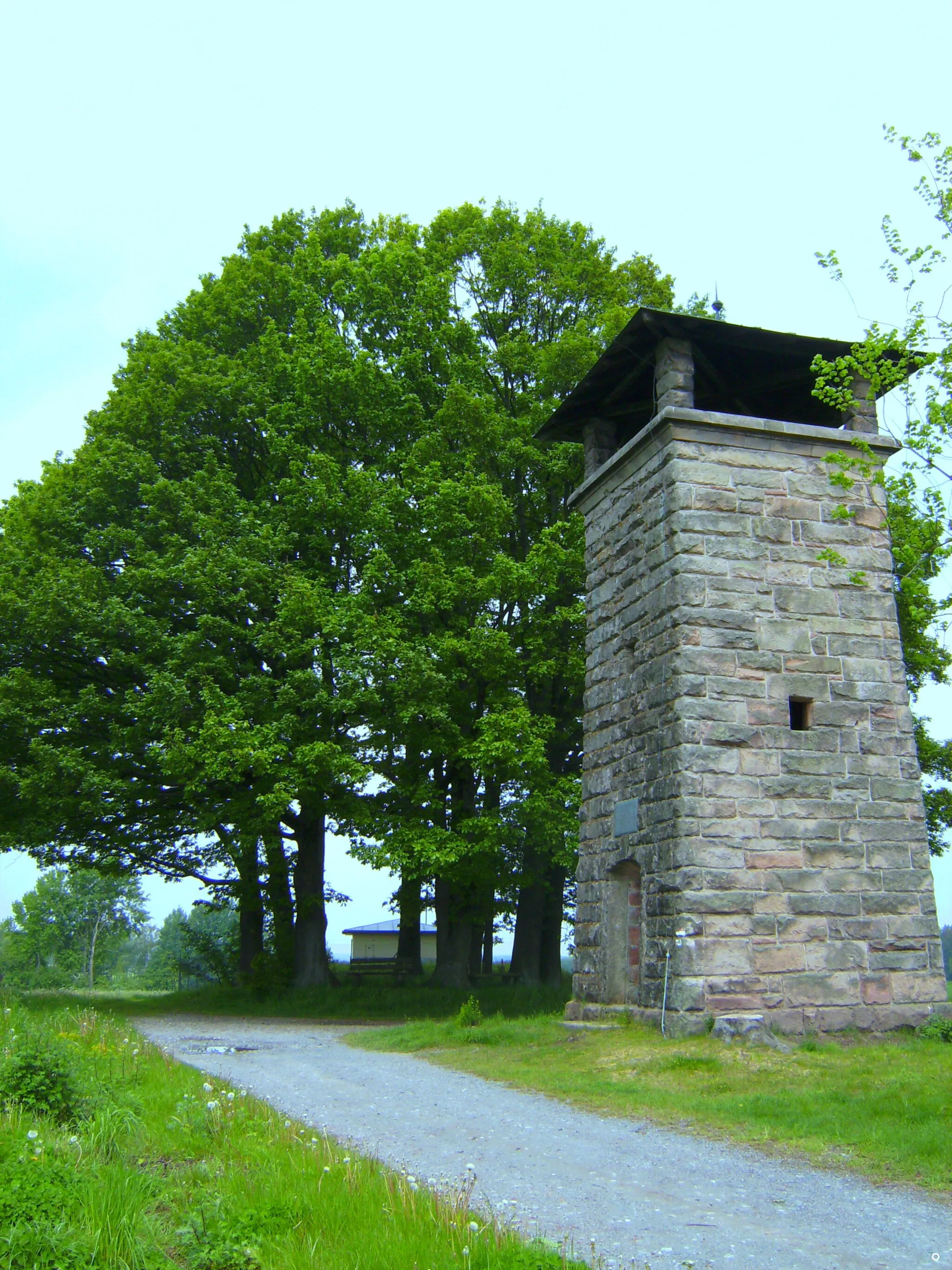
Mautturm Loop
Explore the beautiful Eichenbühl region and visit the iconic Mautturm tower.
Embark on this scenic route through Unterfranken, cycling past charming towns and beautiful landscapes. The highlight of the tour is the Mautturm tower, where you can enjoy panoramic views of the surrounding countryside.
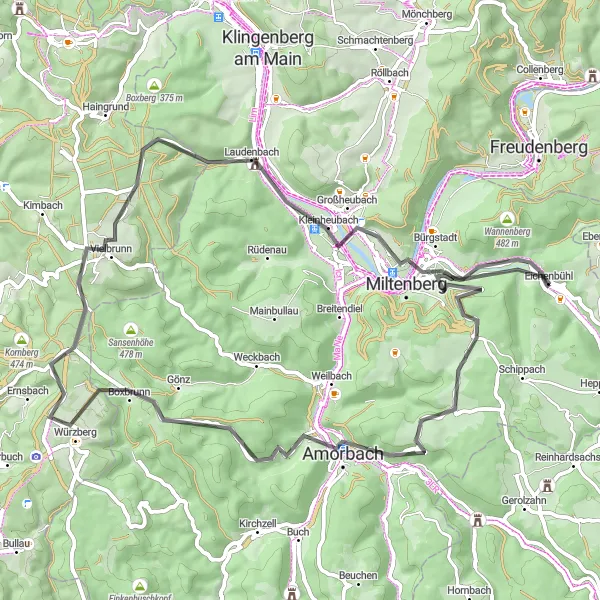
Ride through forests, vineyards and historic towns
This road cycling route takes you through the beautiful landscapes of Unterfranken. With a distance of 97 kilometers and an ascent of 1325 meters, it is suited for experienced cyclists. Along the way, you will encounter several highlights such as the town of Walldürn with its picturesque streets and the historic Amorbach with its impressive abbey. An epicness score of 3 showcases the scenic beauty of the region.
Embark on an adventurous gravel ride to Bürgstädter Berg and Schwarzkopf
This gravel adventure takes you through varied terrain, including rolling hills and forested areas. One of the highlights along the route is Bürgstädter Berg, situated 6 km into the ride. Enjoy the splendid views from the top and appreciate the natural beauty of the surrounding landscapes. Another noteworthy highlight is Schwarzkopf, located 52 km into the route. Explore the dense forests and experience the tranquility of this secluded spot. With a difficulty rating of 3, this route offers a challenging yet enjoyable experience for intermediate cyclists.
Embark on a challenging cycling adventure and conquer the Nebelkappe climb.
This exhilarating route takes you through the scenic landscapes of Unterfranken, offering a mix of challenging climbs and rewarding descents. The highlight of the tour is the Nebelkappe climb, known for its steep gradient and panoramic vistas at the summit.
Cycling routes nearby:


Nearby regions: