Gravel Adventure in Unterfranken
A gravel cycling route starting from Eichenbuhl
Discover the beauty of Eichenbühl and surrounding areas on this thrilling gravel adventure
Map
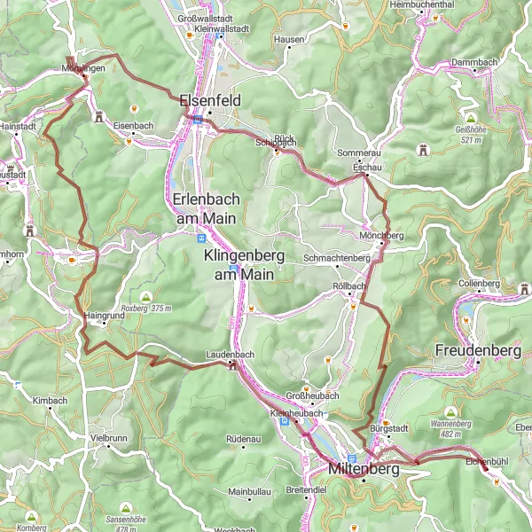
Embark on a gravel adventure through Eichenbühl and experience the breathtaking landscapes of Unterfranken. With a total ascent of 1231 meters and a distance of 79 kilometers, this route offers a challenging yet rewarding ride. Explore highlights such as Miltenberg, Plattform, Schloss Laudenbach, Arnheiter Berg, Obernburg am Main, Eschau, Ospis, and enjoy the excitement of completing the Abschlussfragen Waldquiz.
gravel
79 km
1231 m
Tough
Route profile
Highlights on the route
0 km
0 km
Start: Eichenbühl Village centerEichenbühl: Idyllic Cycling Retreat in Unterfranken
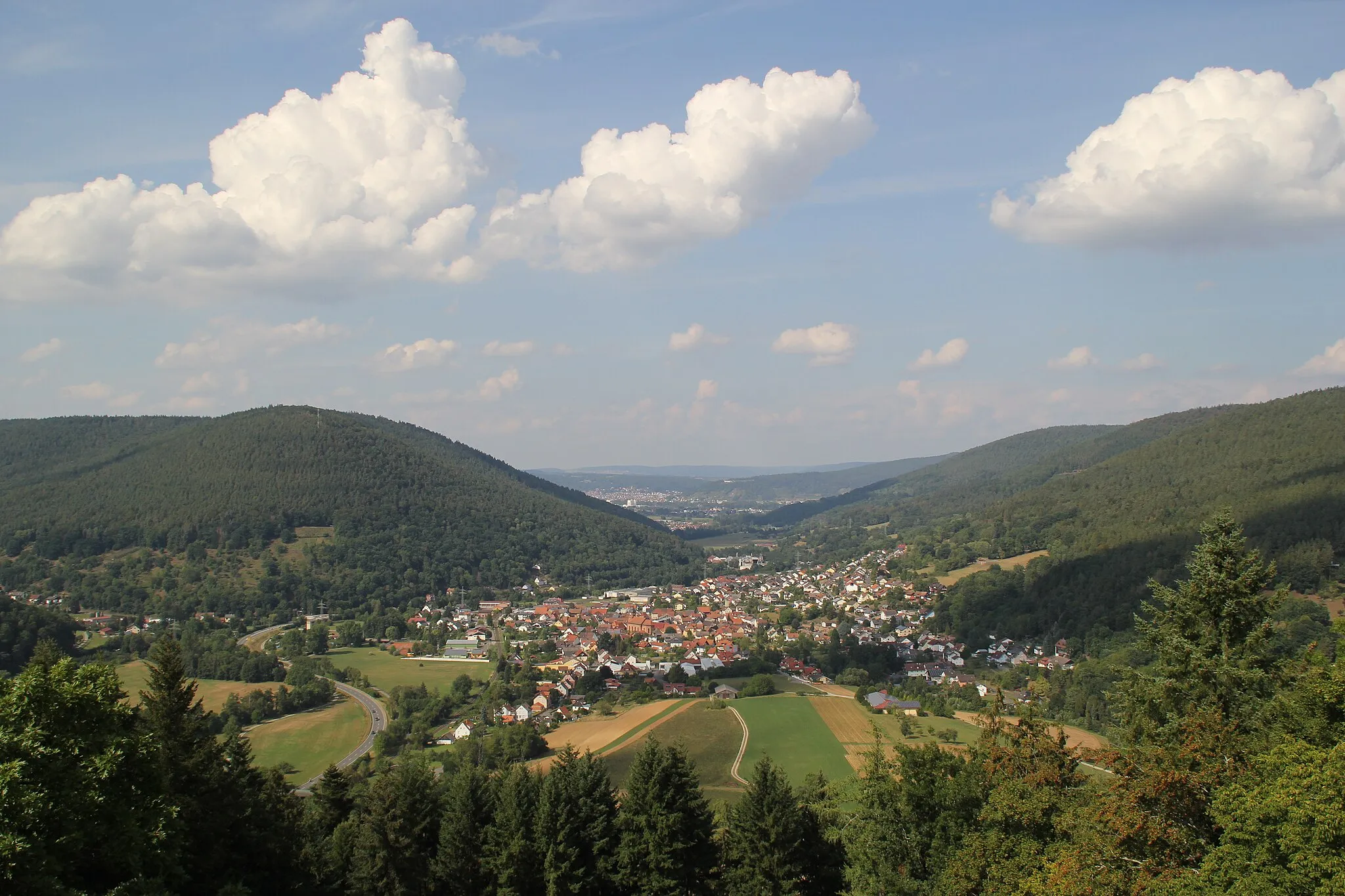
Eichenbühl in Unterfranken, Germany provides a delightful cycling experience for road and gravel cyclists. Located in a region known for its picturesque landscapes, Eichenbühl offers scenic routes through vineyards, forests, and quaint towns. Cyclists can explore the beautiful Spessart Mountains and challenging ascents such as the nearby Mespelbrunn Castle climb. The locality also features well-maintained cycling paths, ensuring safe and enjoyable riding experiences. Overall, with its idyllic surroundings and cycling-friendly infrastructure, Eichenbühl receives a rank of 3.6 km
6 km
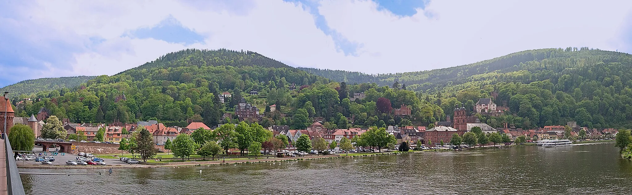
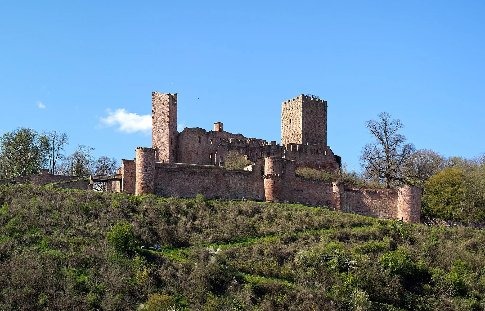
MiltenbergTownMiltenberg is a picturesque town known for its well-preserved half-timbered houses and stunning views of the Main River.
7 km
7 km
PlattformViewpointPlattform offers panoramic views of the surrounding countryside, providing a perfect spot to take a break and admire the scenery.
14 km
14 km
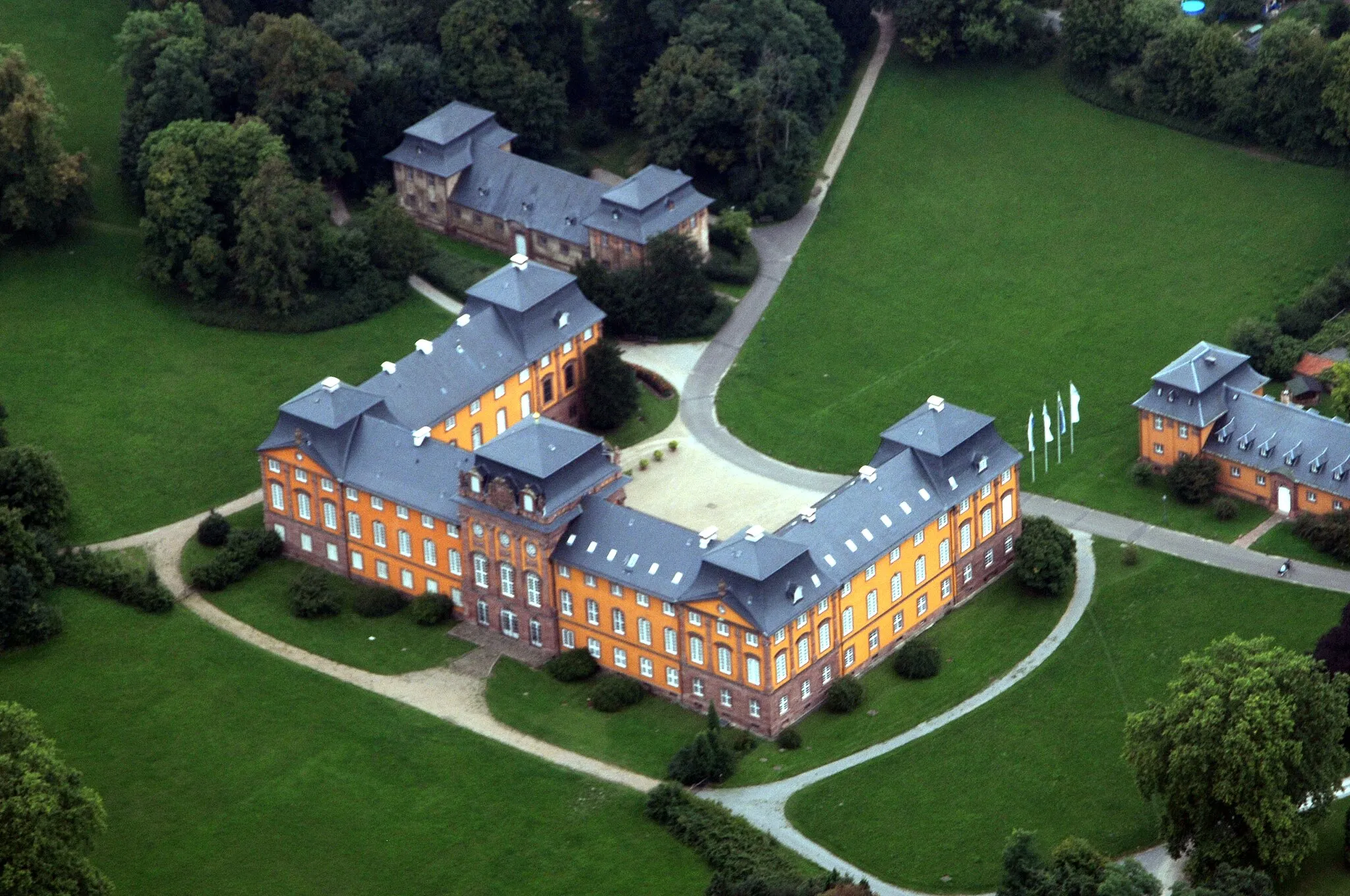
Schloss LaudenbachCastleSchloss Laudenbach, a charming castle located amidst rolling hills, offers a glimpse into the region's rich history.
34 km
34 km
Arnheiter Berg316 mPeakArnheiter Berg is a challenging climb that rewards cyclists with breathtaking views at the top.
47 km
47 km
Obernburg am MainTownObernburg am Main is a historic town with a charming old town center, featuring colorful buildings and narrow streets.
57 km
57 km
EschauVillageEschau features beautiful vineyards and a tranquil atmosphere, providing a peaceful setting for a cycling break.
67 km
67 km
Ospis439 mPeakOspis showcases the region's natural beauty with its lush forests and peaceful surroundings.
74 km
74 km
Abschlussfragen WaldquizPicnic SiteComplete the Abschlussfragen Waldquiz and test your knowledge of the local flora and fauna while enjoying the scenic countryside.
79 km
79 km
Finish: Eichenbühl Village centerEichenbühl: Idyllic Cycling Retreat in Unterfranken
Cycling routes from Eichenbuhl:
Road Cycling Route from Eichenbühl Gravel Cycling Route to Sonderriet Gravel Route to Nassig and Burg Wertheim Scenic Road Ride through Holzturm and Külsheim Mautturm Loop Nebelkappe Adventure Adventurous Route through Spessart Road Cycling Route to Nassig Exploring Odenwald's Gravel Trails Gravel Adventure to Bürgstädter Berg and Schwarzkopf Gravel Adventure in Unterfranken
Cycling routes nearby: