Road Cycling Route to Nassig
A road cycling route starting from Eichenbuhl
Ride through vineyards and historic towns to reach the summit of Nassig
Map
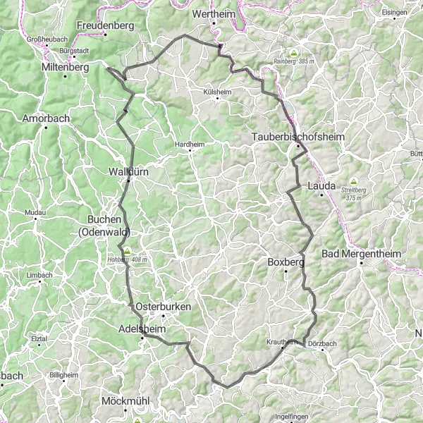
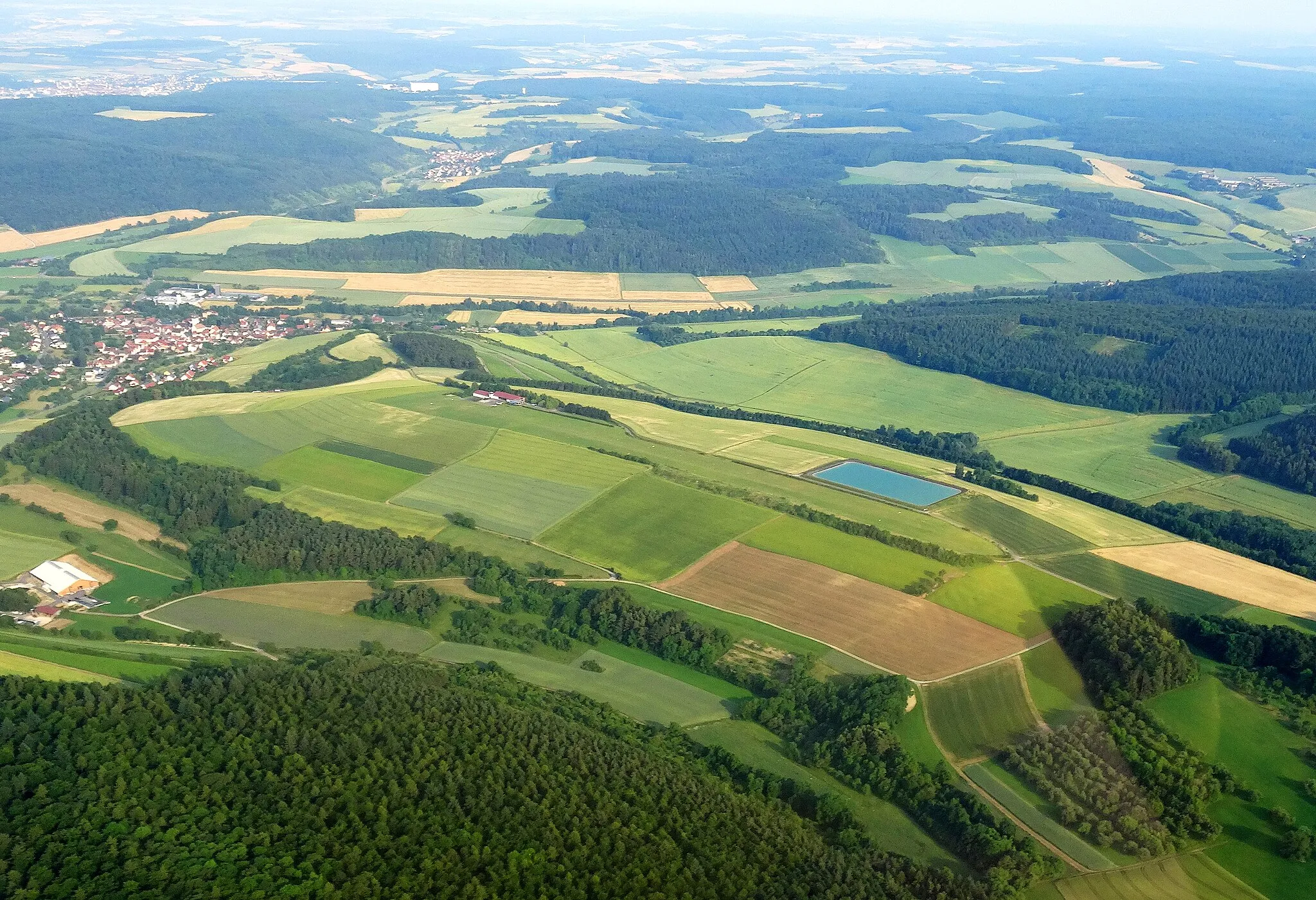
This road cycling route takes you through the picturesque landscapes of Unterfranken to the scenic summit of Nassig. With a distance of 144 kilometers and an ascent of 2037 meters, it is a challenging ride for experienced cyclists. Along the way, you will encounter diverse highlights such as the town of Tauberbischofsheim with its rich history and the charming village of Unterschüpf with its idyllic atmosphere. With a difficulty rating of 5 and an epicness score of 4, this route is a true adventure.
road
144 km
2037 m
Savage
Route profile
Highlights on the route
0 km
0 km
Start: Eichenbühl Village centerEichenbühl: Idyllic Cycling Retreat in Unterfranken
Eichenbühl in Unterfranken, Germany provides a delightful cycling experience for road and gravel cyclists. Located in a region known for its picturesque landscapes, Eichenbühl offers scenic routes through vineyards, forests, and quaint towns. Cyclists can explore the beautiful Spessart Mountains and challenging ascents such as the nearby Mespelbrunn Castle climb. The locality also features well-maintained cycling paths, ensuring safe and enjoyable riding experiences. Overall, with its idyllic surroundings and cycling-friendly infrastructure, Eichenbühl receives a rank of 3.13 km
13 km
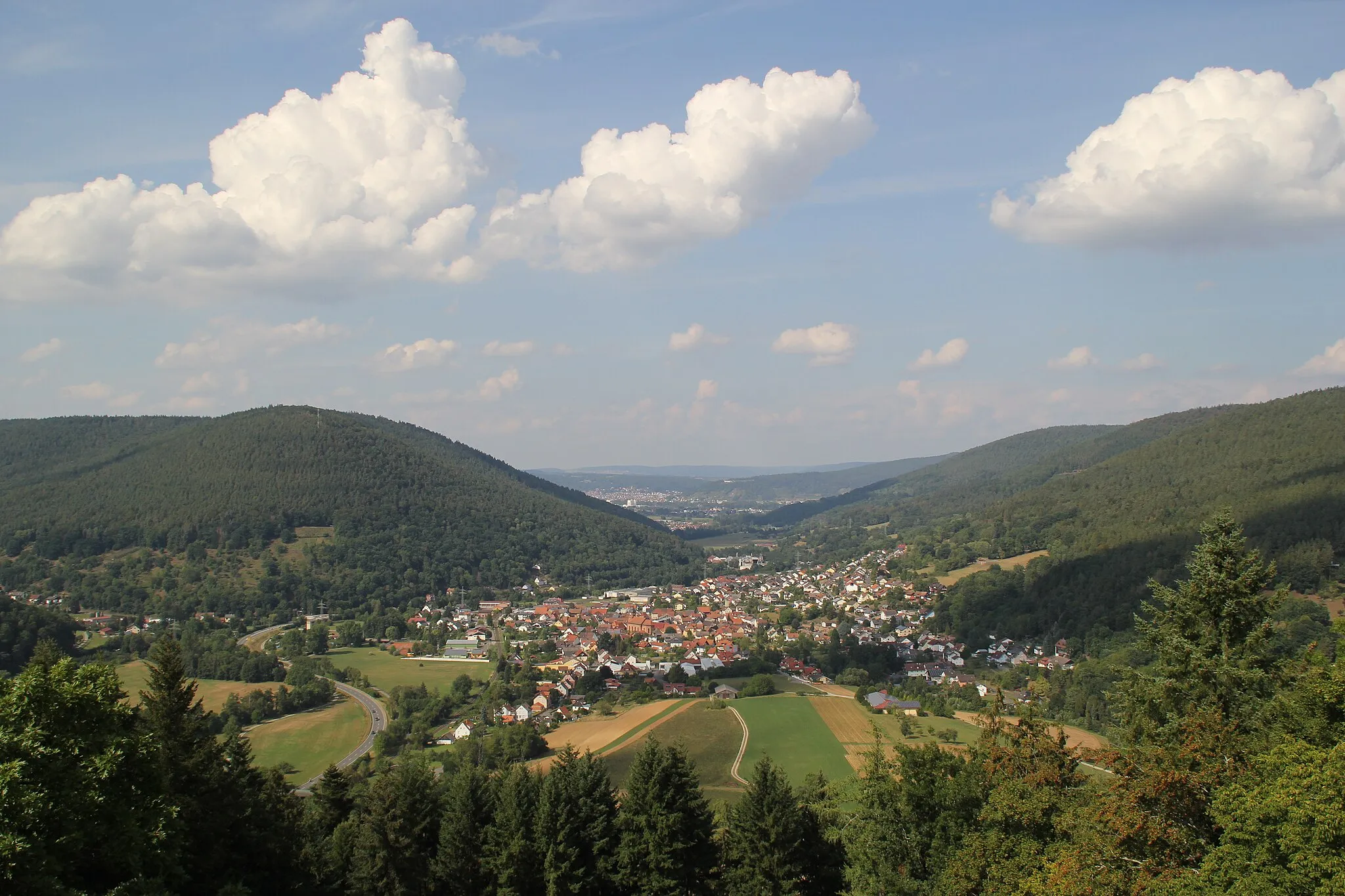
NassigVillageExperience the charm of Nassig, a village known for its panoramic views from the top of the hill.
20 km
20 km
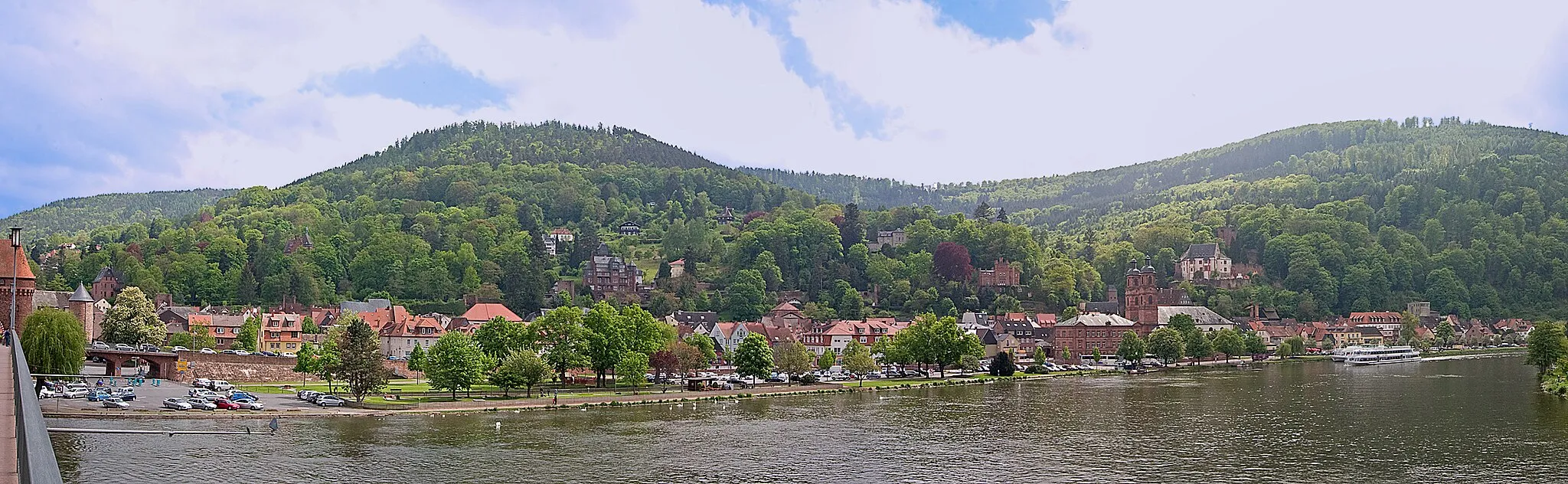
ReicholzheimVillagePass through the scenic village of Reicholzheim with its beautiful half-timbered houses.
22 km
22 km
Satzenberg228 mPeakEnjoy the ride through forests and meadows on your way to Satzenberg.
33 km
33 km
Apfelberg380 mPeakClimb up to Apfelberg and admire the rolling hills of the surrounding landscape.
40 km
40 km
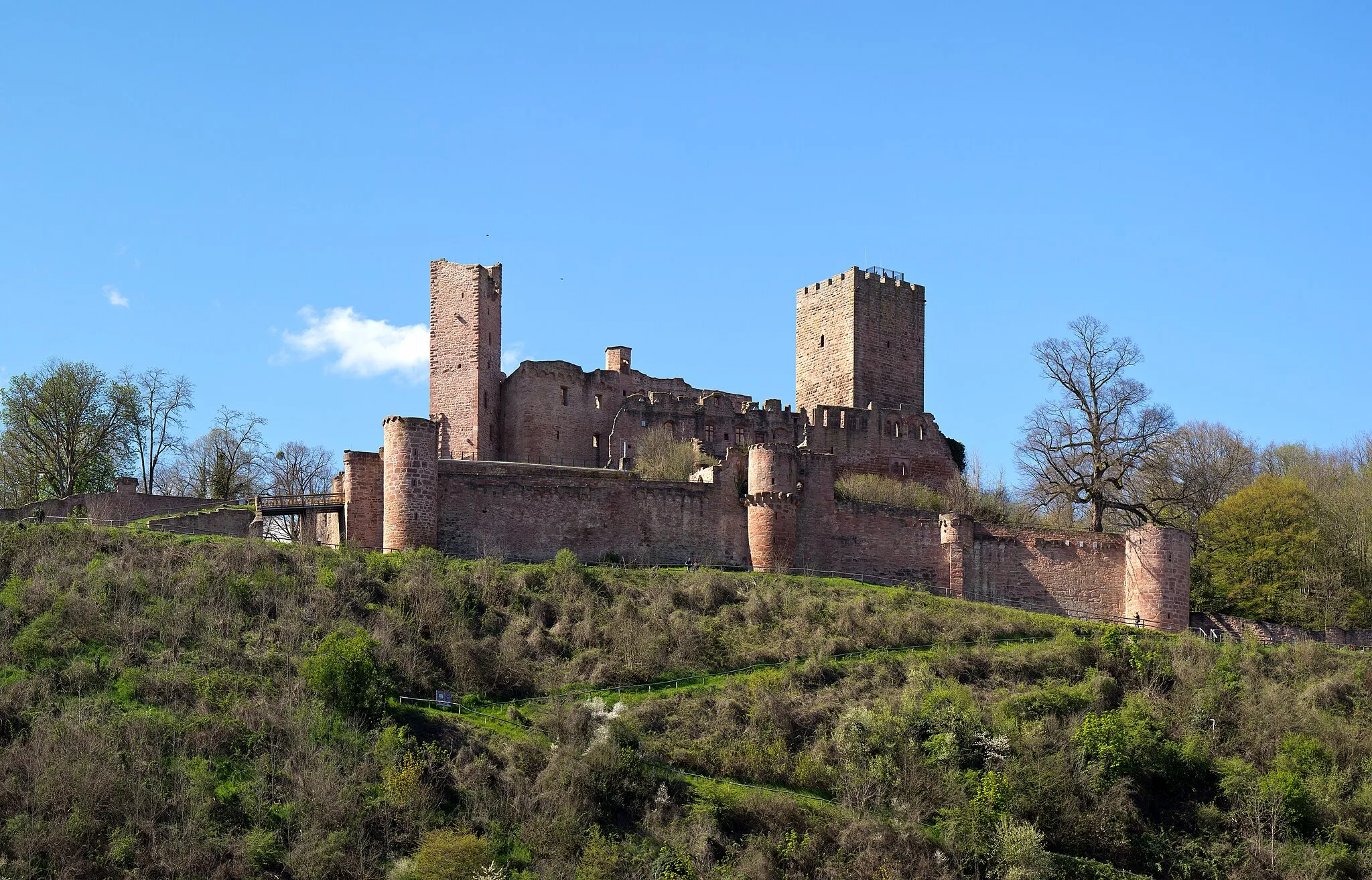
TauberbischofsheimTownExplore Tauberbischofsheim, a town with a rich history and charming old town.
57 km
57 km
UnterschüpfVillageCycle through the picturesque village of Unterschüpf, surrounded by vineyards.
59 km
59 km
PavillionViewpointTake a break at the picturesque pavilion on your way to Nassig.
68 km
68 km
AssamstadtVillageVisit Assamstadt, a historic town with charming alleys and well-preserved half-timbered houses.
69 km
69 km
SchlackohrenpilzViewpointDiscover the unique Schlackohrenpilz sculpture, located in the beautiful landscape of Holfenheim.
77 km
77 km
KrautheimVillageExplore the charming village of Krautheim, known for its historical center and beautiful views.
86 km
86 km
Blankenberg330 mPeakPass through the idyllic village of Blankenberg, surrounded by fields and forests.
103 km
103 km
AdelsheimTownMake a stop in Adelsheim and stroll through its picturesque old town.
104 km
104 km
Eckenberg317 mPeakClimb up to Eckenberg and enjoy panoramic views of the surrounding countryside.
119 km
119 km
Eulsberg450 mPeakConquer the ascent to Eulsberg, a challenging climb with stunning views at the top.
126 km
126 km
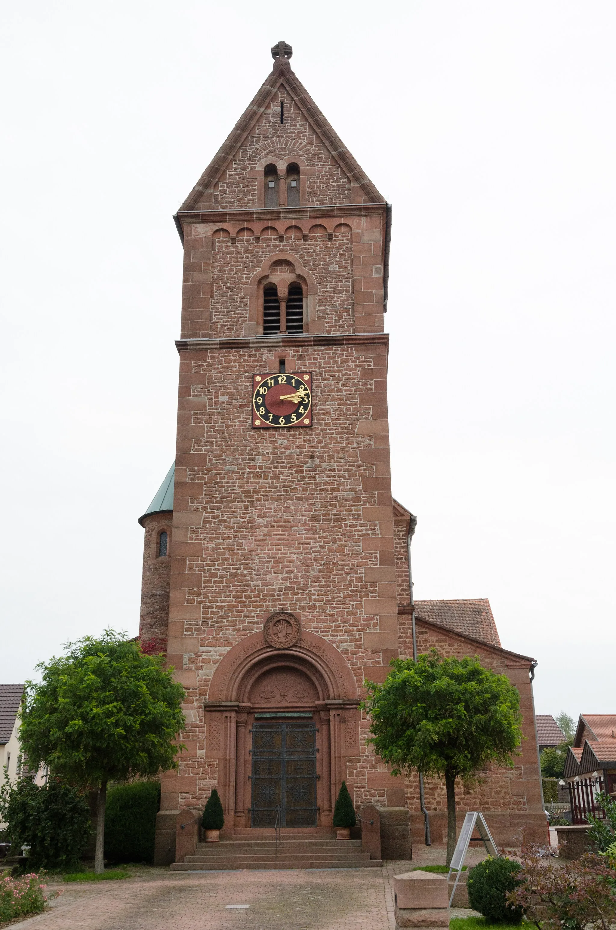
WalldürnTownExplore the historic town of Walldürn, known for its impressive pilgrimage church and historic market square.
135 km
135 km
KaltenbrunnHamletRide through the beautiful scenery around Kaltenbrunn and enjoy the peaceful atmosphere.
144 km
144 km
Finish: Eichenbühl Village centerEichenbühl: Idyllic Cycling Retreat in Unterfranken
Cycling routes from Eichenbuhl:
Road Cycling Route from Eichenbühl Gravel Cycling Route to Sonderriet Gravel Route to Nassig and Burg Wertheim Scenic Road Ride through Holzturm and Külsheim Mautturm Loop Nebelkappe Adventure Adventurous Route through Spessart Road Cycling Route to Nassig Exploring Odenwald's Gravel Trails Gravel Adventure to Bürgstädter Berg and Schwarzkopf Gravel Adventure in Unterfranken
Cycling routes nearby: