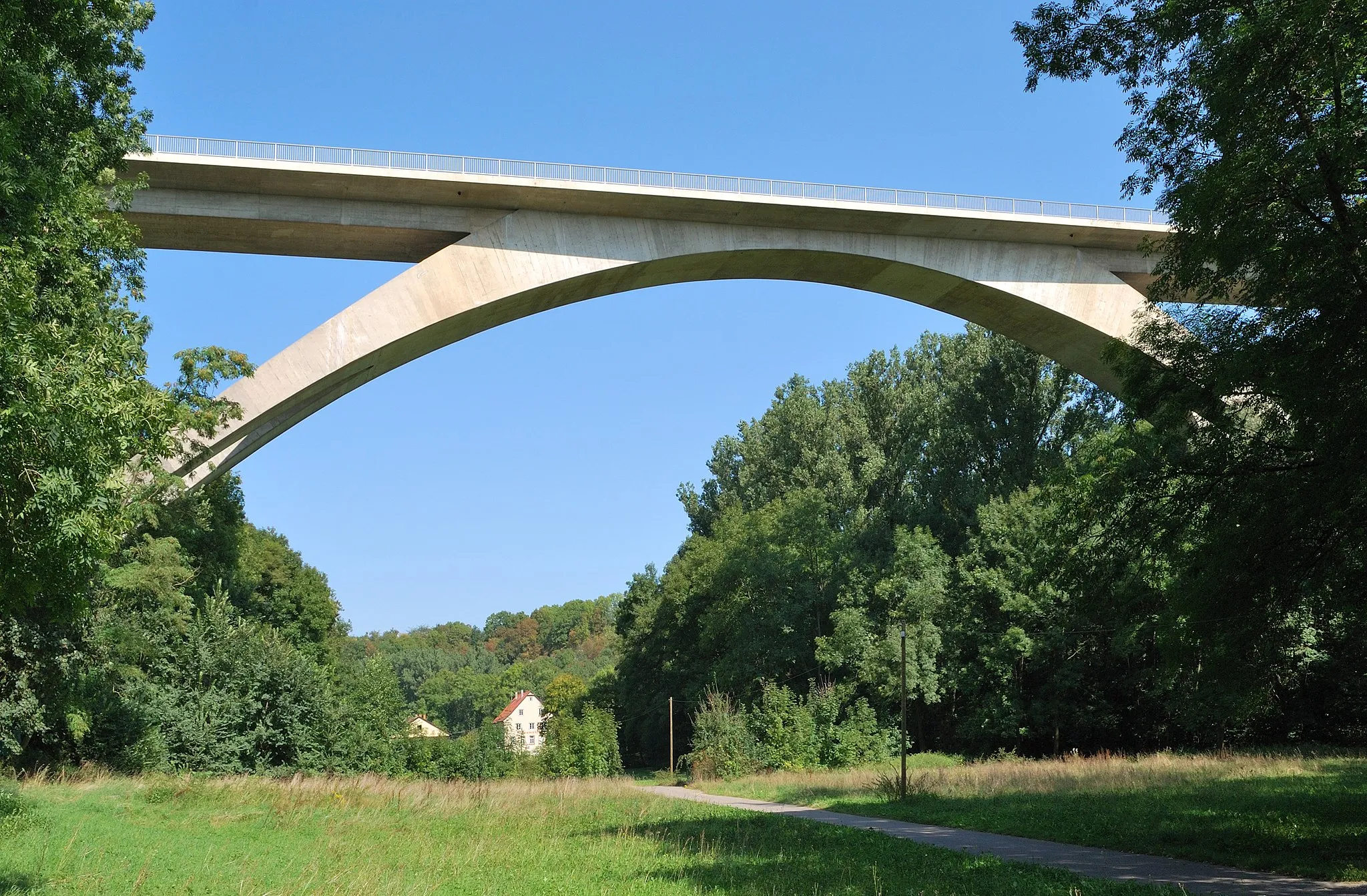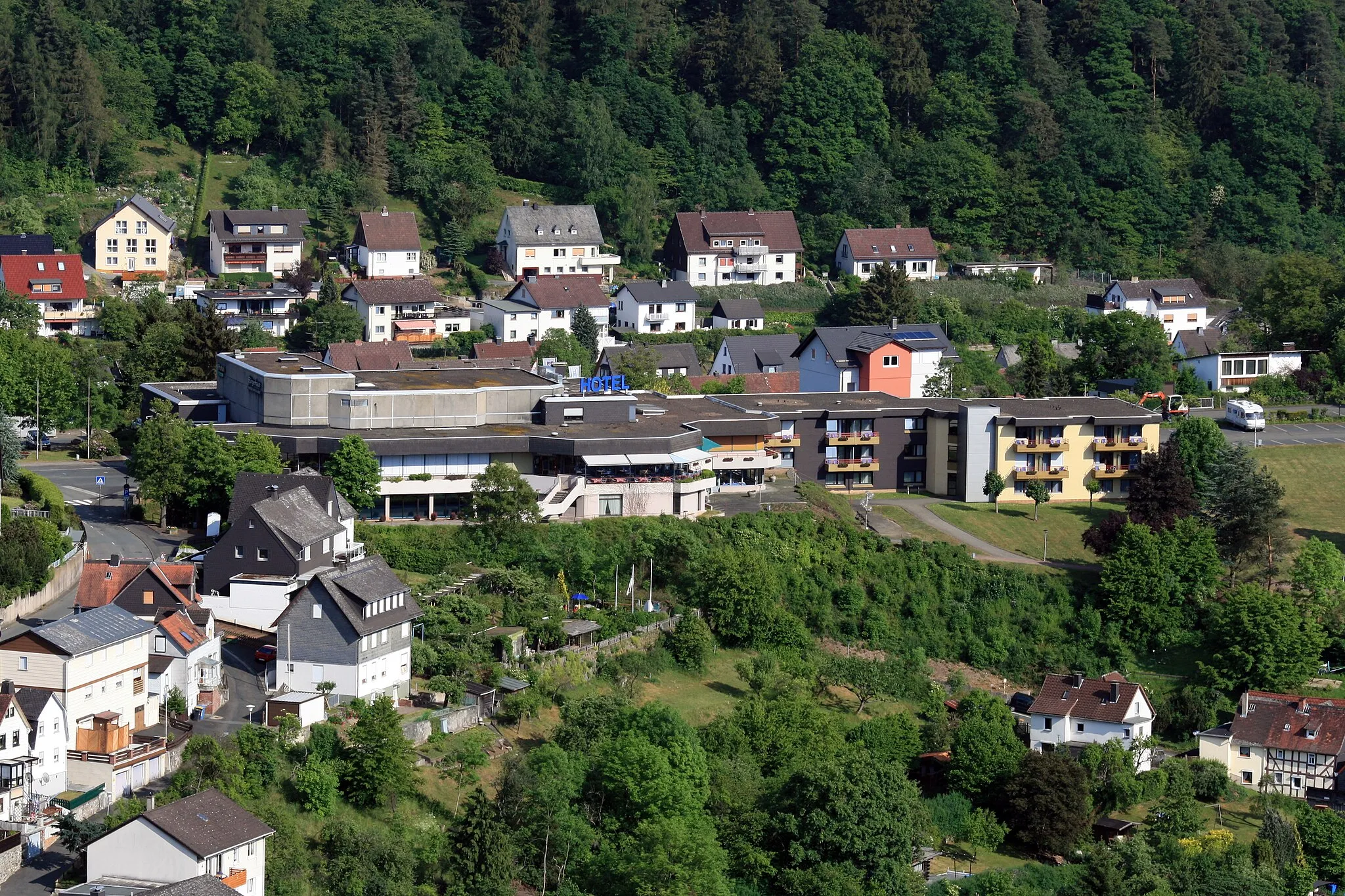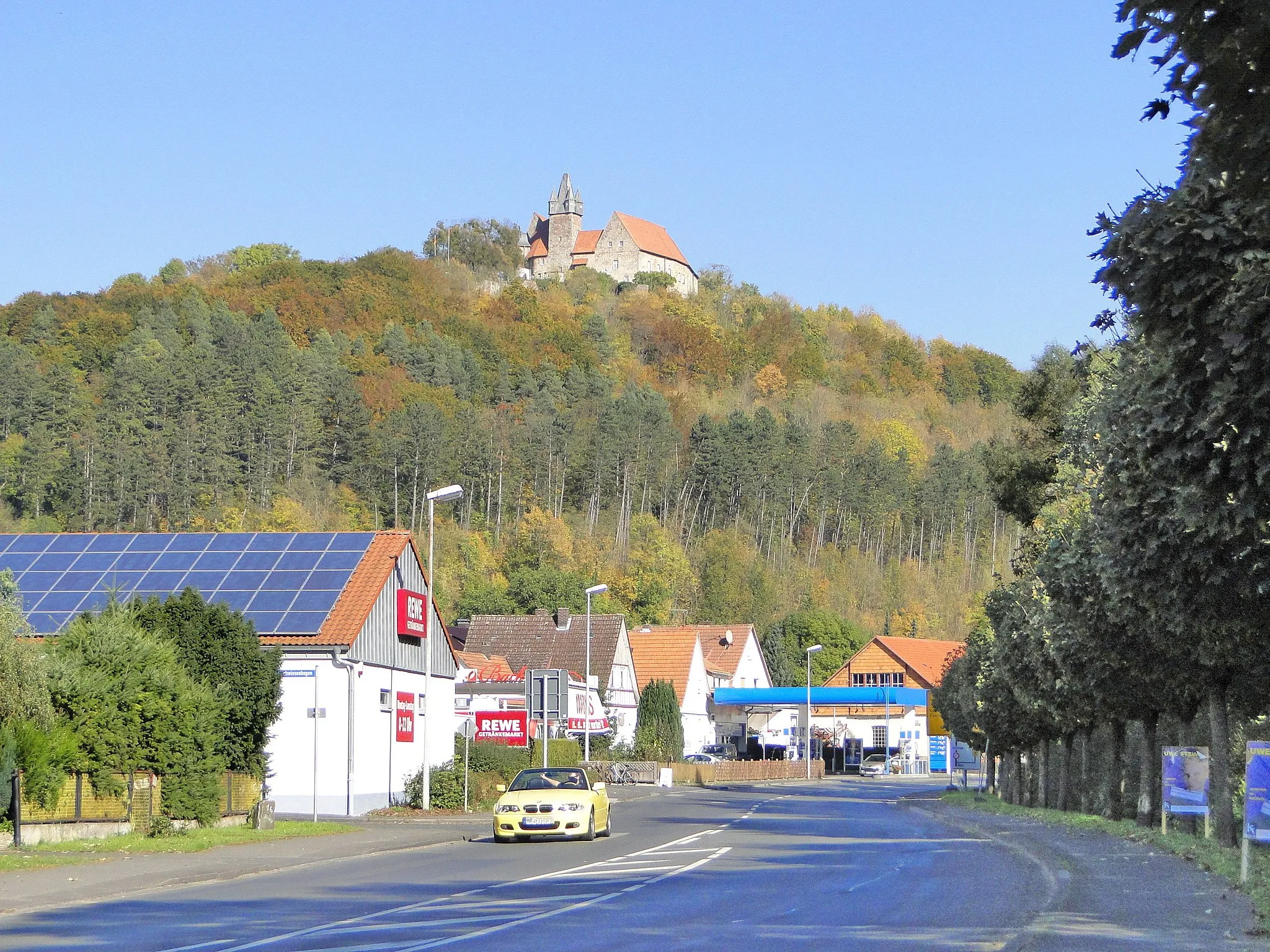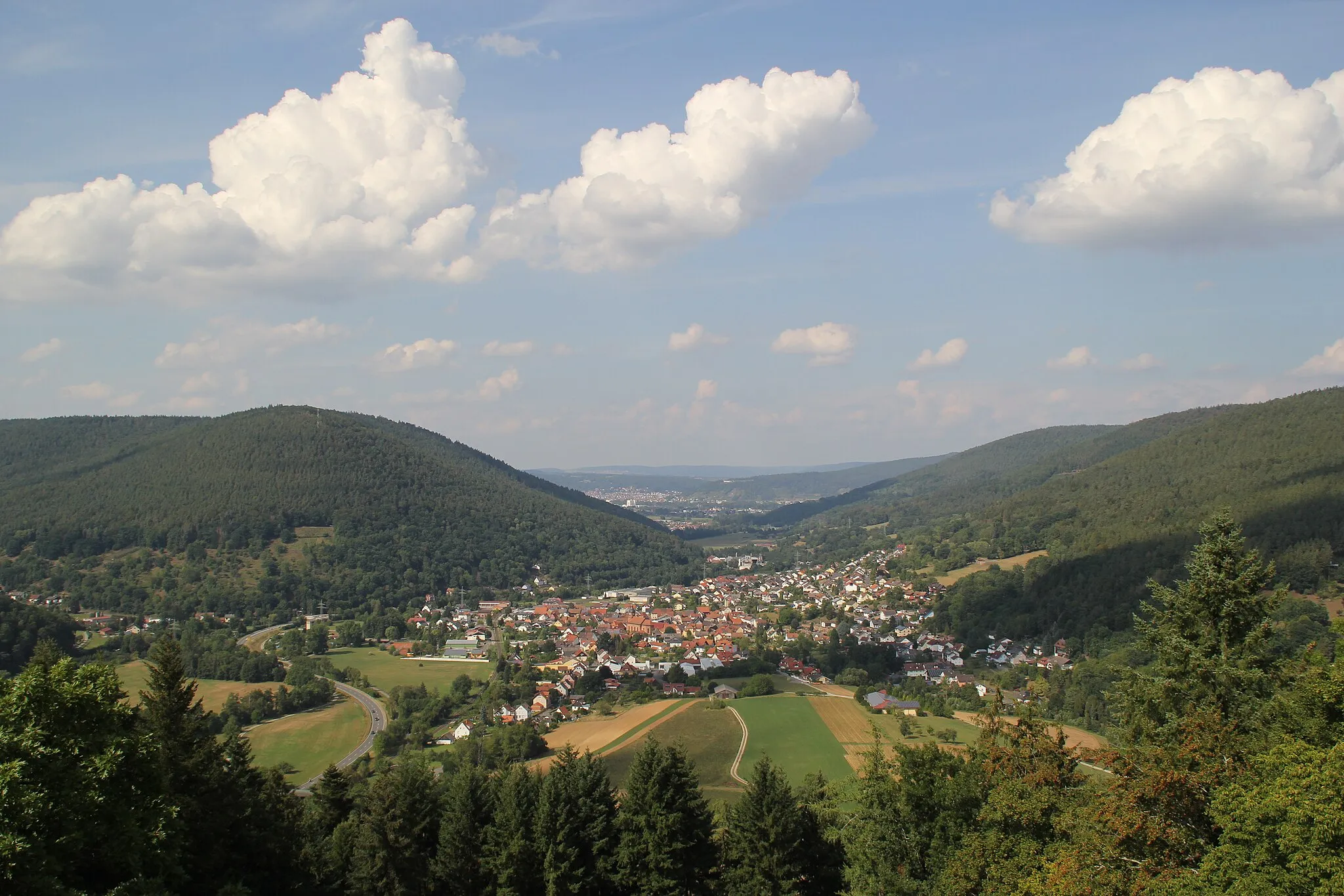
Tranquil environment with beautiful countryside and quiet roads.
Cycling routes from Weilbach
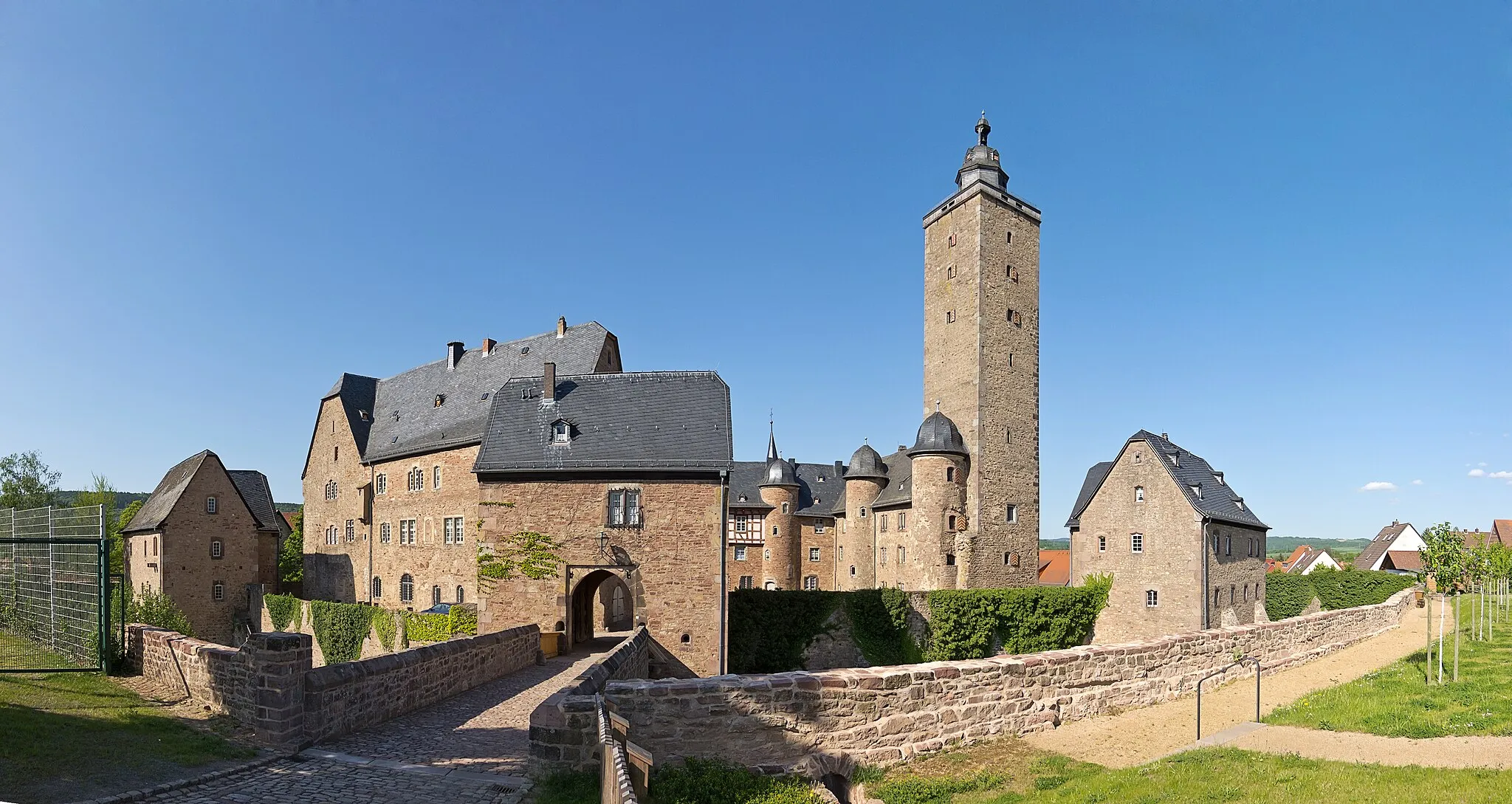
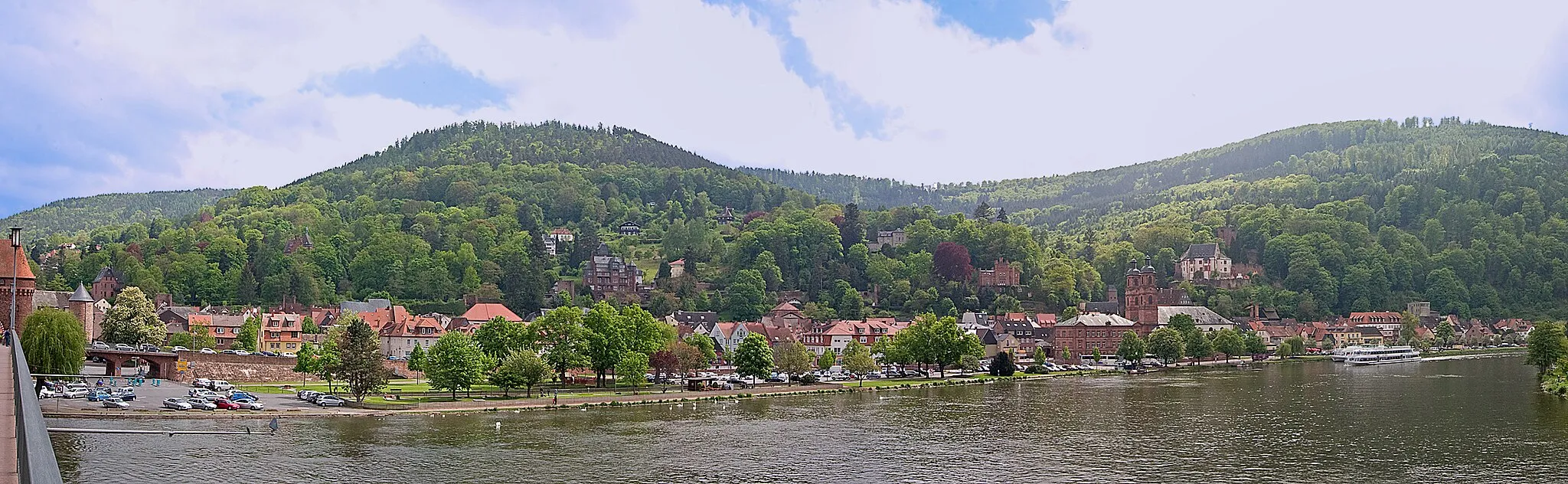
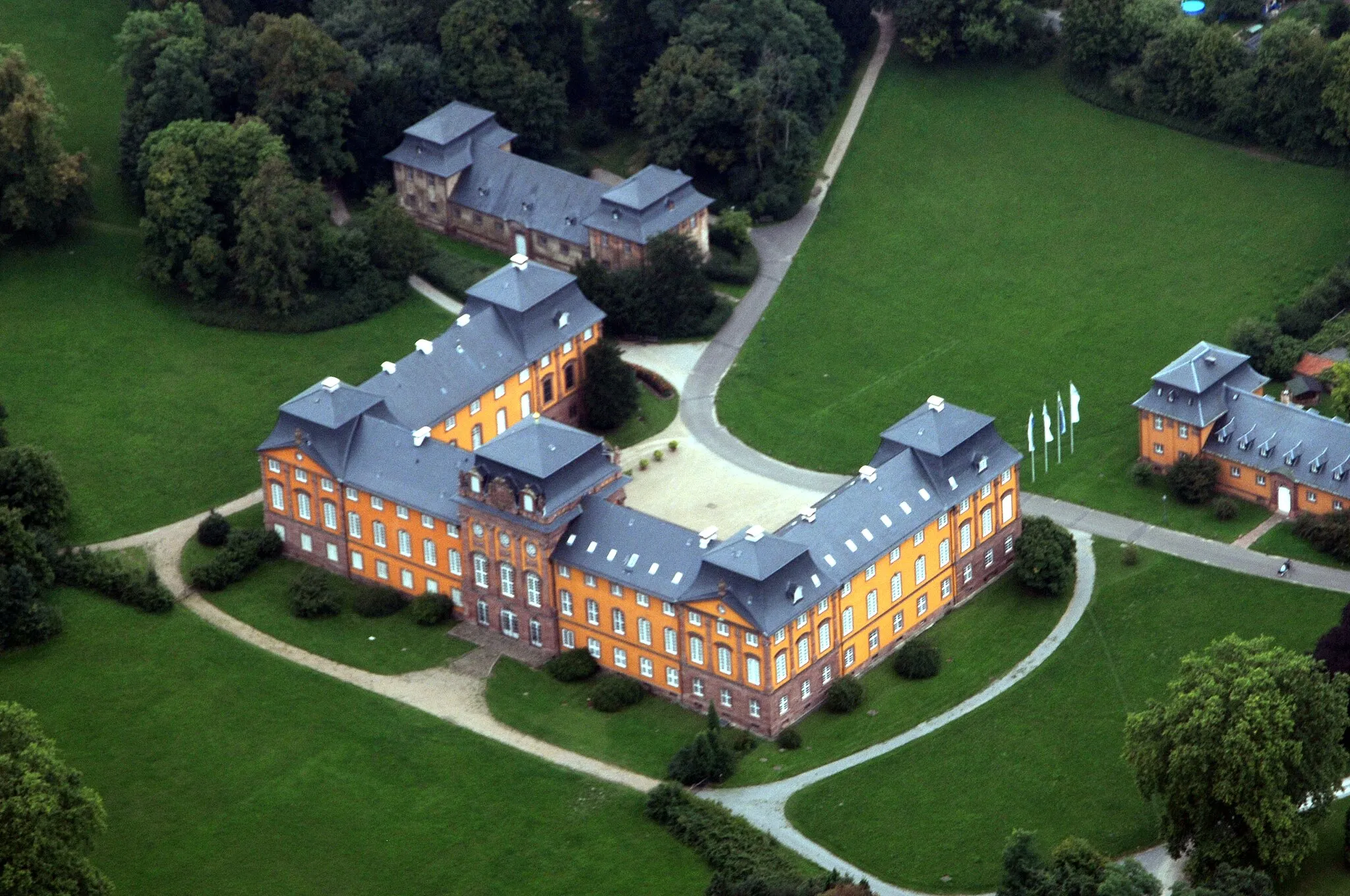
Weilbach in Unterfranken, Germany, provides an enjoyable cycling experience with its gentle terrain and beautiful countryside. The locality offers well-maintained roads and peaceful routes that cater to road and gravel cyclists alike. While Weilbach might not have any famous cycling spots or well-known climbs, it attracts cyclists seeking scenic rides and a tranquil environment. Riders can explore the quiet roads, admire the picturesque landscapes, and visit local attractions such as the Homburg Castle. Overall, Weilbach is a recommended destination for cyclists looking for peaceful rides and natural beauty.
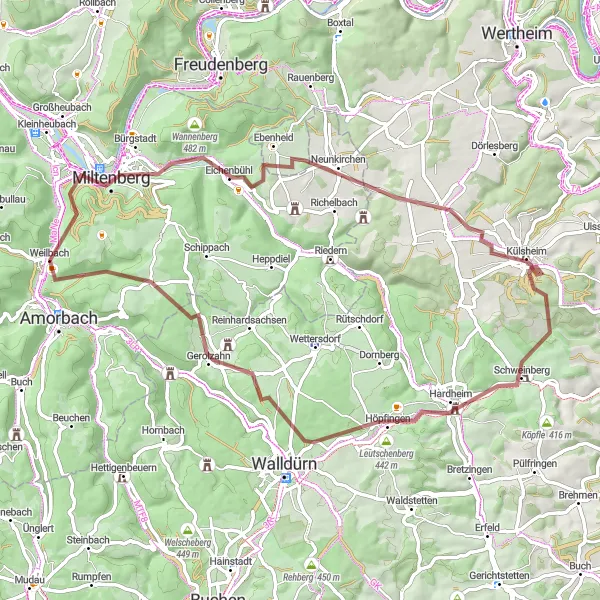
Embark on a gravel challenge through diverse terrain and historic landmarks.
This 67-kilometer gravel cycling route offers a challenging adventure for experienced gravel cyclists. Starting near Weilbach, the route features a total ascent of 1,084 meters and provides an exciting mix of terrain. Highlights along the route include Plattform, Eichenbühlhöhe, and Kleinkastell Haselburg. The difficulty level is rated at 5 out of 5, while the epicness level is 4 out of 5. Get ready for a thrilling ride as you tackle demanding climbs and experience the diverse landscapes of the region.
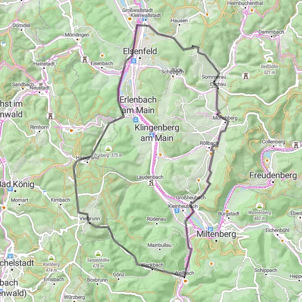
Weilbach to Mudau Loop
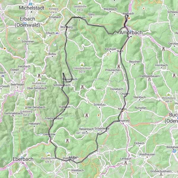
Cycle through picturesque villages and scenic landscapes on this road cycling route.
This road cycling route takes you through the beautiful countryside near Weilbach, Unterfranken. With a total distance of 78 kilometers and a challenging ascent of 1,076 meters, it is suitable for well-trained amateurs. The route passes by several highlights including the Gotthardsberg, Strümpfelbrunn, and Roter Buckel. The overall difficulty of the route is rated at 4 out of 5, while the epicness level is 3 out of 5. Highlights such as the Gotthardsberg, with its panoramic views, and the historic village of Mudau make this route an exciting adventure for cyclists.
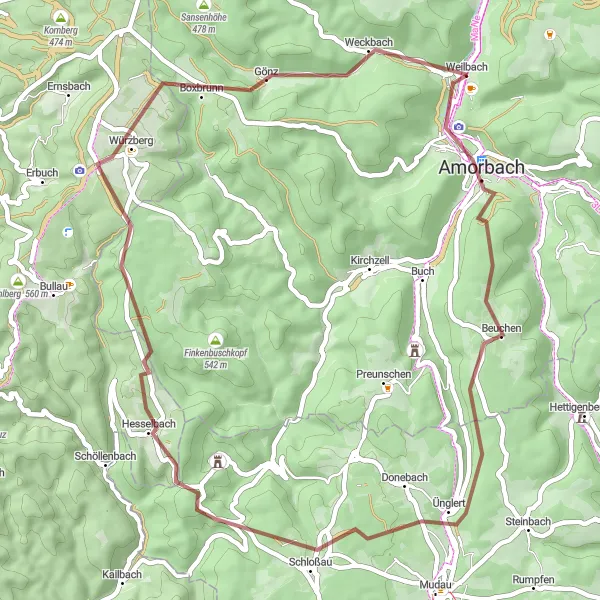
Challenge yourself on this exhilarating gravel loop with stunning hilltop views.
This 51-kilometer gravel cycling route starts near Weilbach and offers a thrilling adventure for gravel enthusiasts. With a total ascent of 927 meters, it presents a moderate challenge. Highlights of the route include Gotthardsberg, Ünglert, and Roter Buckel. The difficulty level is rated at 3 out of 5, while the epicness level is 3 out of 5. Immerse yourself in the natural beauty of the region as you tackle demanding climbs and enjoy breathtaking views.
Embark on a gravel adventure through scenic countryside and historic towns.
This 48-kilometer gravel cycling route near Weilbach offers a thrilling off-road experience. With a total ascent of 1,011 meters, it is suitable for experienced gravel cyclists. Highlights of the route include Weckbach, Rauschen, and Wörth am Main. The difficulty level is rated at 4 out of 5, while the epicness level is 2 out of 5. This route allows you to explore lesser-known paths and enjoy the tranquility of nature.
Embark on an epic road cycling adventure through the captivating landscapes of Odenwald
This 113-kilometer road cycling route takes you through the picturesque Odenwald region in Germany. With over 1900 meters of ascent, this challenging route is perfect for seasoned cyclists seeking a thrilling adventure. Immerse yourself in the beauty of the Odenwald, passing through charming towns, dense forests, and historic sites. From the architectural splendor of Buchen to the majestic Wisente nature reserve, this route showcases the diverse attractions of the region.
Embark on a challenging 147 km road route taking you to the famous Katzenbuckel.
Get ready for an epic road cycling adventure on this 147 km route from Weilbach to the iconic Katzenbuckel. With a challenging ascent of 2607 meters, this route is suitable for well-trained amateurs seeking a tough yet rewarding ride. Highlights along the way include the Gotthardsberg offering panoramic views, the historic town of Amorbach, the scenic Kinzert, and the charming village of Kailbach. As you conquer the Ohrsberg climb, you will be greeted with stunning vistas of the surrounding countryside. The route also takes you through Schönbrunn, Neckargemünd, Köpfel, Hardberg, Siedelsbrunn, and Unter-Mossau, offering diverse landscapes and attractions. With a difficulty rating of 4 and an epicness rating of 5, this route guarantees a memorable and challenging cycling experience.
Experience the diverse terrain of Lower Franconia on this thrilling gravel adventure
Embark on a gravel cycling adventure through the enchanting landscapes of Lower Franconia in Germany. This 67-kilometer route offers a perfect balance of challenging ascents and scenic beauty. Traverse through charming towns, dense forests, and vineyards, making it a truly memorable experience for gravel enthusiasts. With over 880 meters of ascent, this route provides a good challenge for both experienced and amateur cyclists.
Geißberg and Eschau Loop
Explore the rolling hills and charming villages on this road cycling route.
Discover the beauty of the Unterfranken region on this road cycling route starting near Weilbach. The 66-kilometer loop features a total ascent of 905 meters, making it suitable for experienced amateur cyclists. Highlights along the route include Geißberg, Vielbrunn, and Nebelkappe. The difficulty level is rated at 3 out of 5, while the epicness level is 3 out of 5. This route is a great choice for those looking for a scenic and moderately challenging ride.
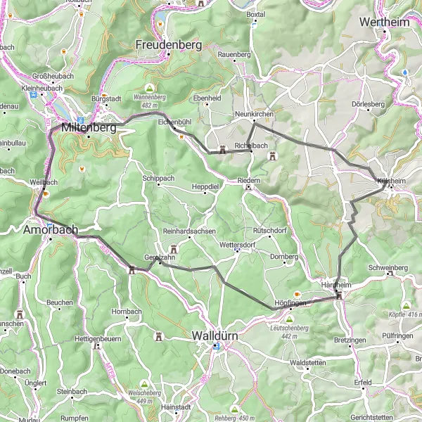
Immerse yourself in the historical landscapes near Weilbach on this scenic road cycling route.
Embark on a charming road cycling route near Weilbach, traversing through historic landscapes and picturesque towns. Covering a distance of 67 kilometers, this route is ideal for leisurely rides and explorations. With an ascent of 809 meters, it offers a good mix of gentle climbs and rewarding descents. Discover the rich history and architectural delights of Amorbach, explore the lush forests of Külsheim, and relish the tranquility of Tiefental. This route combines cultural attractions with natural beauty, making it a delightful journey for all cycling enthusiasts.
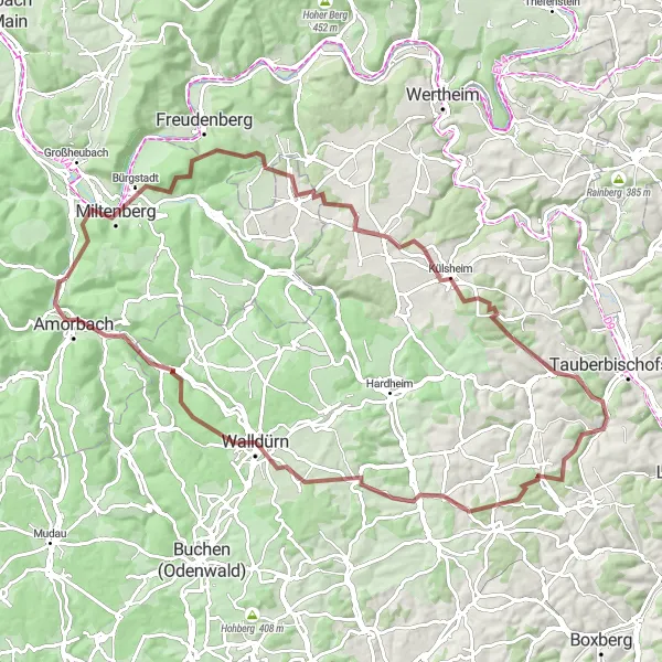
Uncover the hidden gems of Miltenberg on this adventurous gravel route through Unterfranken.
Venture into Unterfranken with this captivating 96-kilometer gravel route that takes you through the hidden gems of Miltenberg. With an elevation gain of 1404 meters, this challenging route provides a thrilling adventure for gravel enthusiasts. Explore the charming town of Miltenberg, immerse yourself in lush vineyards, and conquer tough climbs. From the historical Schlossberg to the panoramic views at Großer Heidberg, this route offers a mix of culture, history, and natural beauty that will leave you longing for more.
Cycling routes nearby:


Nearby regions: