Road Cycling Expedition: A Journey through the Odenwald
A road cycling route starting from Weilbach
Embark on an epic road cycling adventure through the captivating landscapes of Odenwald
Map
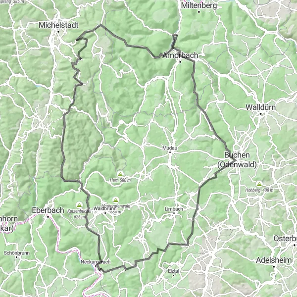
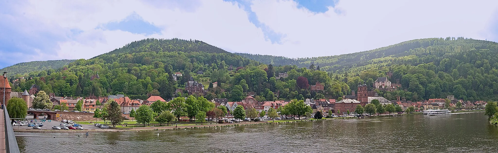
This 113-kilometer road cycling route takes you through the picturesque Odenwald region in Germany. With over 1900 meters of ascent, this challenging route is perfect for seasoned cyclists seeking a thrilling adventure. Immerse yourself in the beauty of the Odenwald, passing through charming towns, dense forests, and historic sites. From the architectural splendor of Buchen to the majestic Wisente nature reserve, this route showcases the diverse attractions of the region.
road
113 km
1903 m
Savage
Route profile
Highlights on the route
0 km
0 km
Start: Weilbach Village centerWeilbach: Tranquil environment with beautiful countryside and quiet roads.
Weilbach in Unterfranken, Germany, provides an enjoyable cycling experience with its gentle terrain and beautiful countryside. The locality offers well-maintained roads and peaceful routes that cater to road and gravel cyclists alike. While Weilbach might not have any famous cycling spots or well-known climbs, it attracts cyclists seeking scenic rides and a tranquil environment. Riders can explore the quiet roads, admire the picturesque landscapes, and visit local attractions such as the Homburg Castle. Overall, Weilbach is a recommended destination for cyclists looking for peaceful rides and natural beauty.3 km
3 km
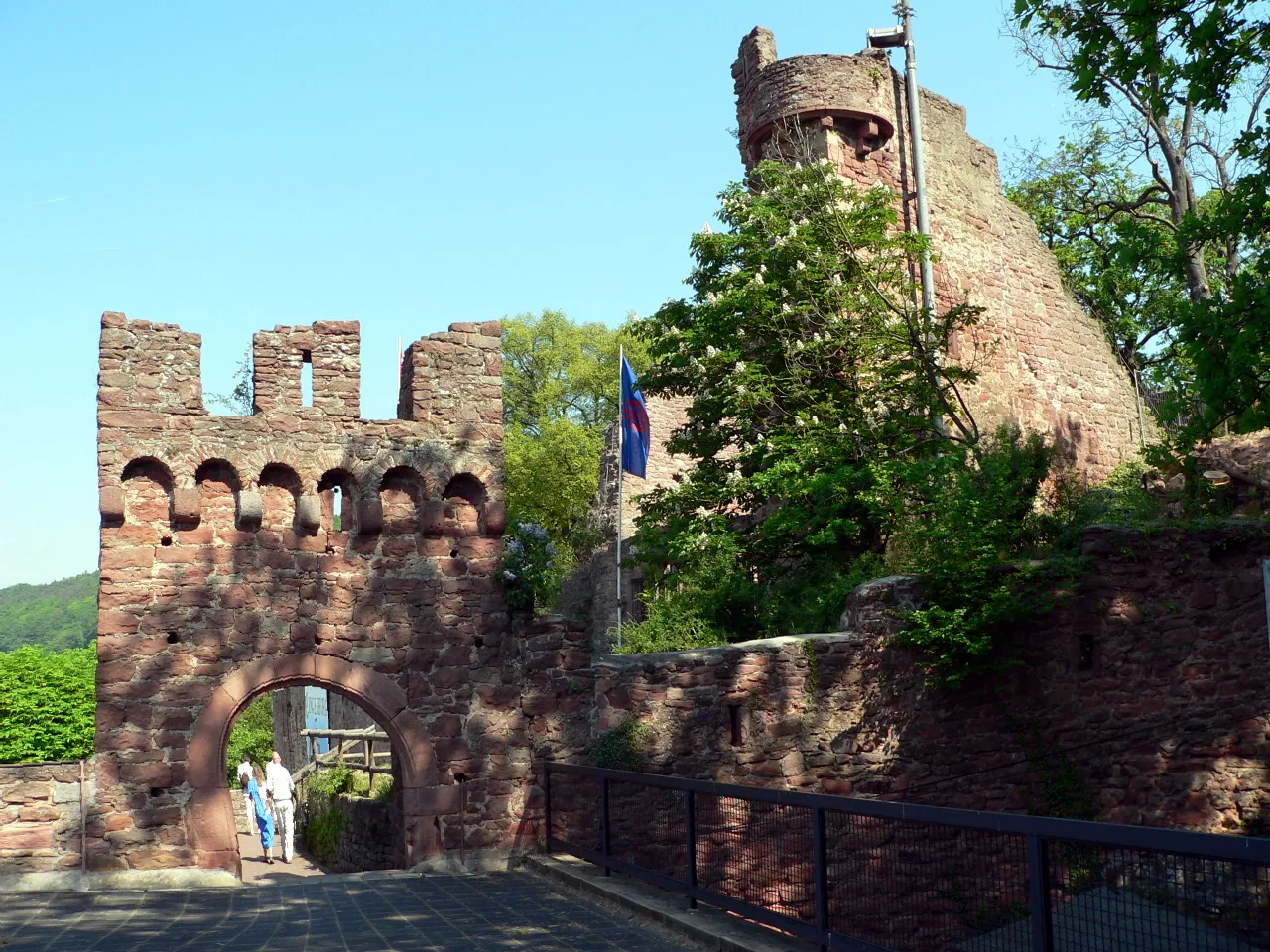
AmorbachTownExplore the historic town of Amorbach and marvel at its magnificent baroque abbey.
4 km
4 km
FliegenpilzViewpointDiscover the unique Fliegenpilz (fly agaric) mushroom sculpture along the route, known for its vibrant colors.
21 km
21 km
Buchen (Odenwald)TownVisit the enchanting town of Buchen (Odenwald) and admire its half-timbered houses and charming old town.
22 km
22 km
Buchener GalgenViewpointExperience the eerie atmosphere of the Buchener Galgen, a historic gallows site once used for public executions.
34 km
34 km
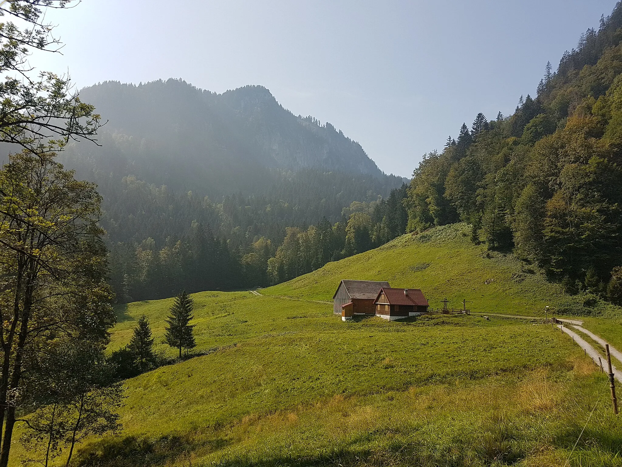
Bocksberg344 mPeakClimb the Bocksberg and relish in the breathtaking views of the Odenwald forest canopy.
45 km
45 km
LohrbachVillagePass through the idyllic village of Lohrbach and enjoy its peaceful rural surroundings.
57 km
57 km
SchollbrunnVillageDiscover the quaint village of Schollbrunn and take a moment to relax by its charming fountain.
68 km
68 km
Imberg395 mPeakAscend the Imberg, a challenging climb known for its winding hairpin bends and panoramic views.
78 km
78 km
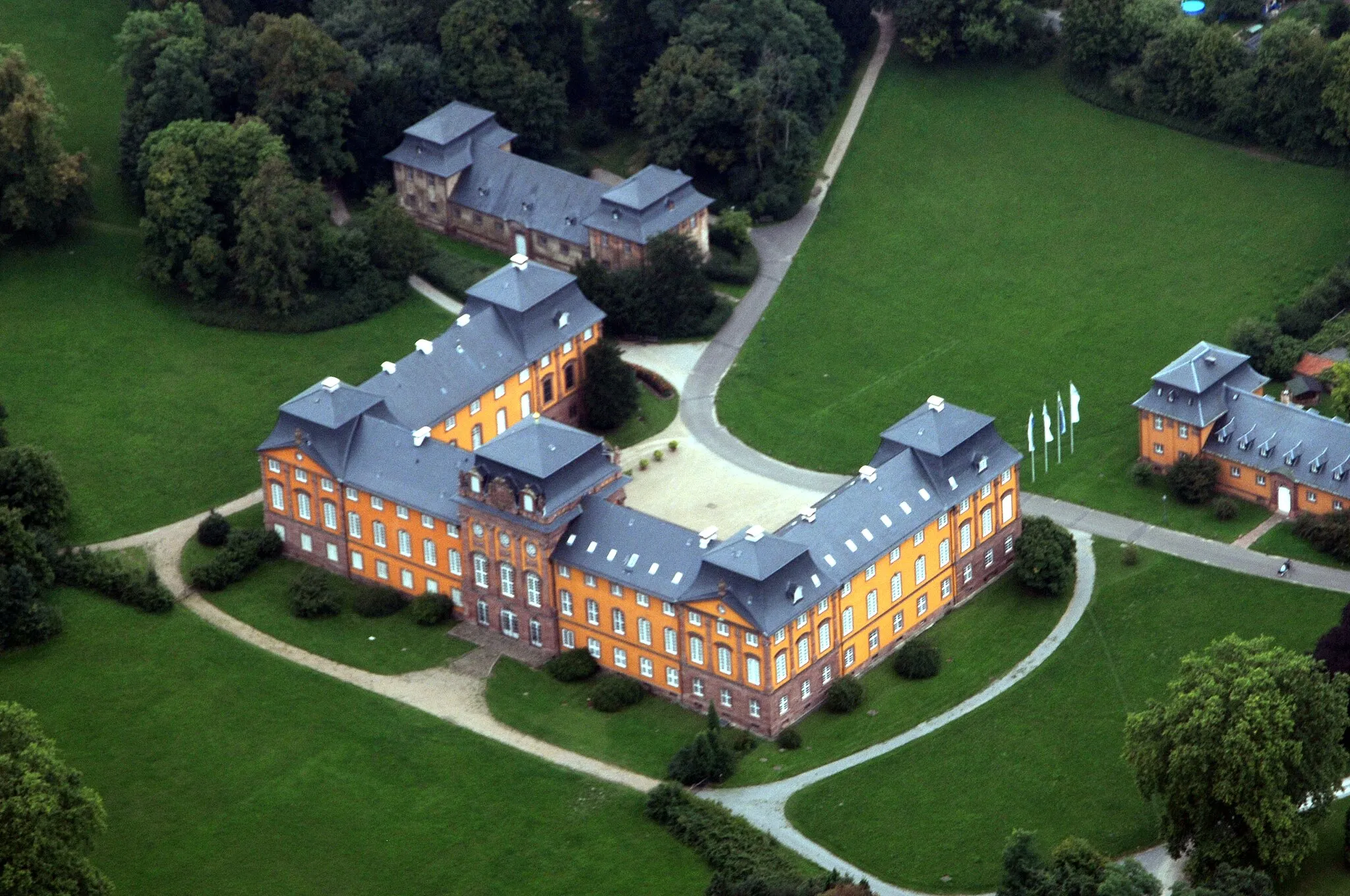
Jagdschloß KrähbergCastleVisit the stunning Jagdschloss Krähberg, a hunting lodge surrounded by beautiful gardens and forests.
78 km
78 km
Krähberg554 mPeakImmerse yourself in the natural beauty of Krähberg and enjoy scenic viewpoints along the route.
98 km
98 km
WisenteViewpointWitness the majestic Wisente (European bison) in their natural habitat at the Wisente nature reserve.
101 km
101 km
BoxbrunnVillageMarvel at the Boxbrunn viewpoint and admire the vast landscapes of the Odenwald region.
113 km
113 km
Finish: Weilbach Village centerWeilbach: Tranquil environment with beautiful countryside and quiet roads.
Cycling routes from Weilbach:
Weilbach to Mudau Loop Geißberg and Eschau Loop Weckbach and Miltenberg Gravel Adventure Gotthardsberg and Amorbach Gravel Loop Miltenberg and Hardheim Gravel Challenge Discover the Hidden Gem: Gravel Route through Miltenberg Weilbach to Katzenbuckel Road Route Ride through Historic Landscapes: Road Cycling Route near Weilbach Gravel Cycling Adventure through Lower Franconia Road Cycling Expedition: A Journey through the Odenwald
Cycling routes nearby: