Gravel Adventure
A gravel cycling route starting from Burgstadt
Embark on an off-road gravel adventure
Map
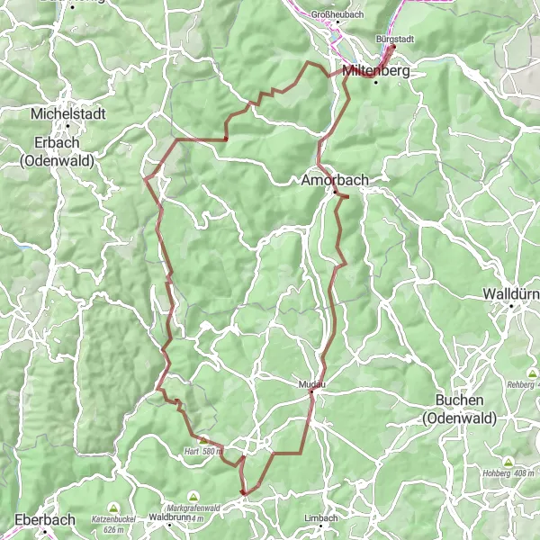
The Gravel Adventure route offers a thrilling off-road cycling experience through the diverse landscapes of Unterfranken. With a distance of 86 km and an elevation gain of 1743 m, this gravel cycling route is suitable for experienced cyclists seeking an adrenaline rush. Kickstart your adventure in Miltenberg, a historic town with charming streets. Along the way, you can spot the iconic Fliegenpilz mushrooms and immerse yourself in nature in Mudau and Reisenbach. Don't miss the Roter Buckel climb and the enchanting views from the top of Würzberg. The route also takes you to the Plattform lookout point for breathtaking vistas, and ends with a visit to the Mildenburg castle.
gravel
86 km
1743 m
Tough
Route profile
Highlights on the route
0 km
0 km
Start: Bürgstadt Village centerBürgstadt: Charming cycling destination in Unterfranken, Germany.
Bürgstadt is a small town located in Unterfranken, Germany. It offers a variety of scenic routes that are suitable for both road and gravel cycling. The surrounding countryside is characterized by rolling hills and picturesque landscapes, providing a pleasant riding experience. One notable cycling-related spot nearby is the Bürgstädter Trailpark, which offers mountain biking trails for all skill levels. Overall, Bürgstadt is a charming locality for cyclists to explore and enjoy the beauty of the region.2 km
2 km
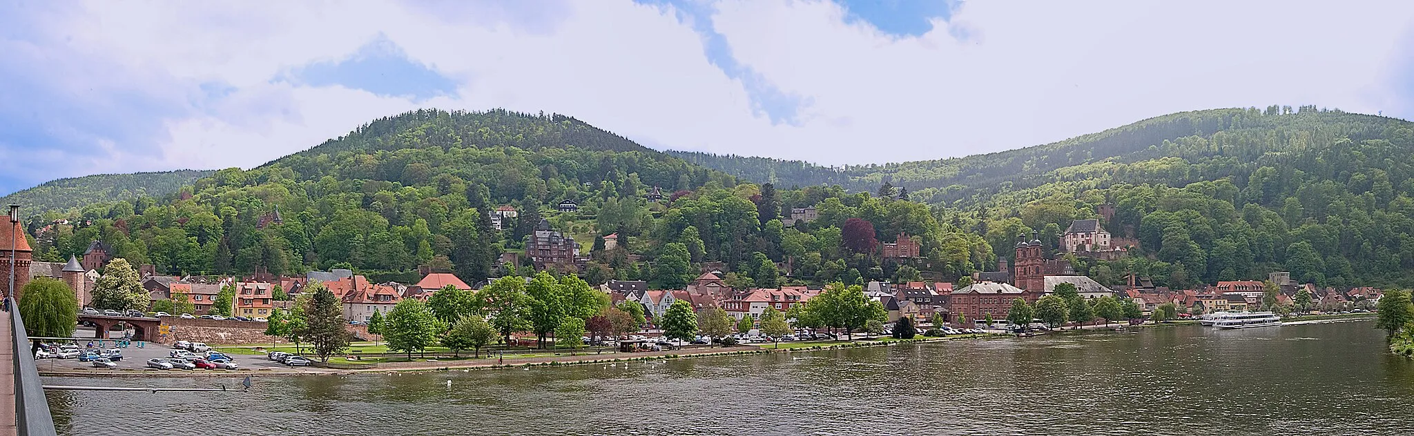
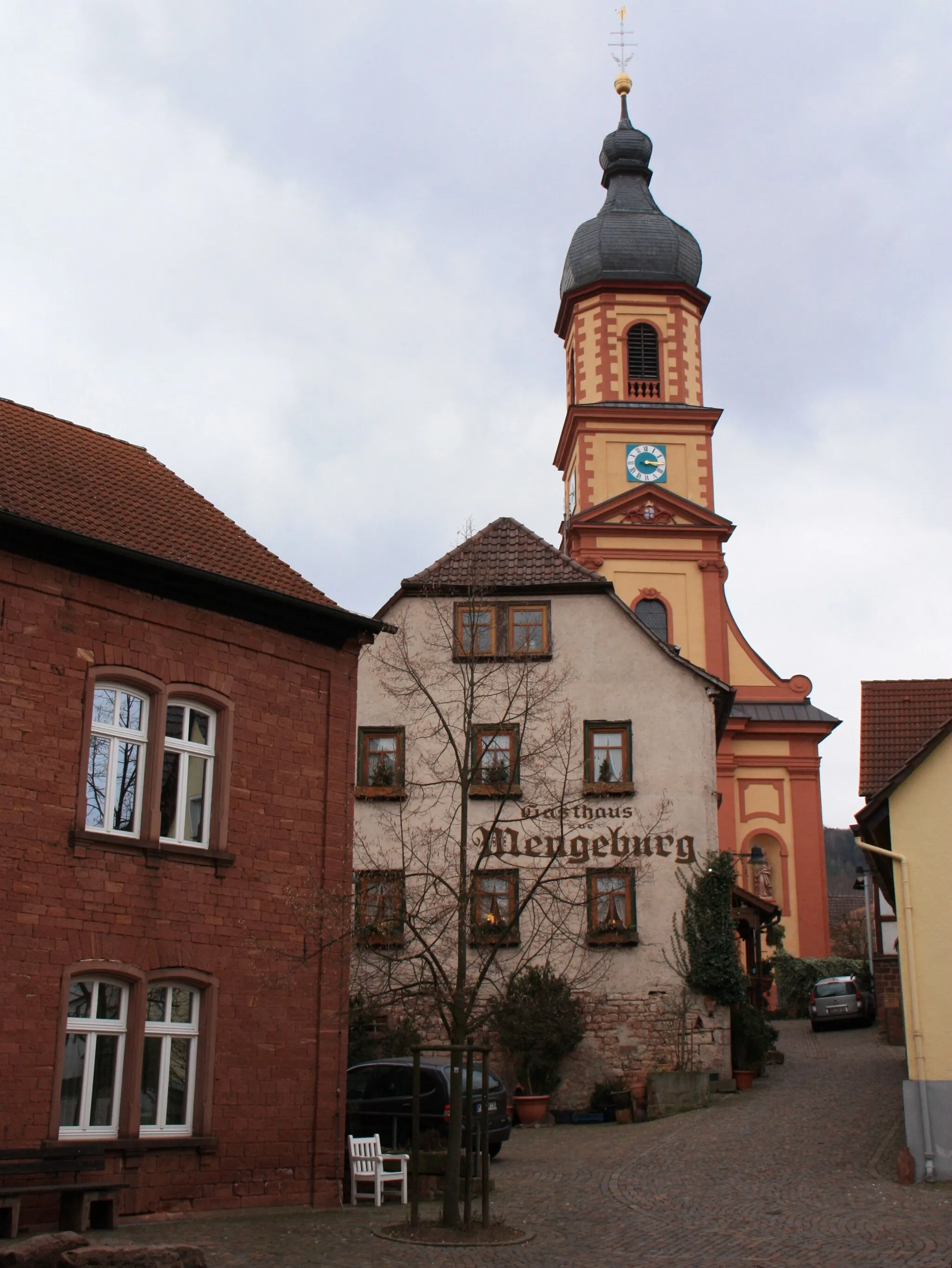
MiltenbergTownMiltenberg is a historic town with well-preserved half-timbered houses.
12 km
12 km
FliegenpilzViewpointLook out for the iconic Fliegenpilz mushrooms along the route.
27 km
27 km
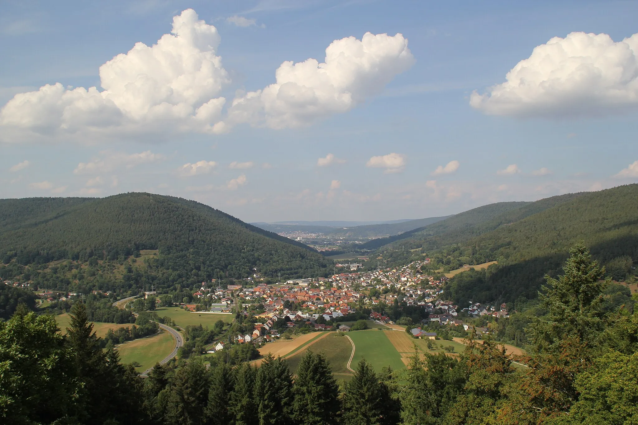
MudauVillageMudau is a charming village surrounded by beautiful nature.
42 km
42 km
ReisenbachVillageReisenbach offers peaceful landscapes and scenic gravel paths.
43 km
43 km
Hart580 mPeakHart is a small village known for its tranquil atmosphere.
63 km
63 km
Roter Buckel540 mPeakRoter Buckel is a challenging climb that takes you through dense forests.
64 km
64 km
WürzbergVillageWürzberg offers enchanting panoramic views over the surrounding countryside.
83 km
83 km
PlattformViewpointThe Plattform lookout point offers breathtaking vistas of the Unterfranken region.
83 km
83 km
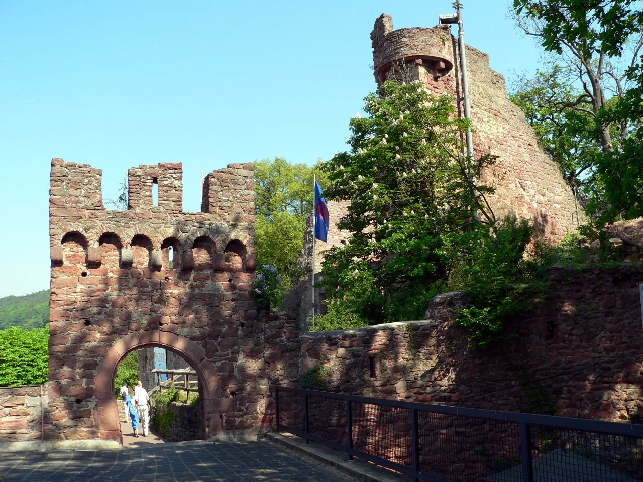
MildenburgCastleMildenburg castle is a historic landmark and the perfect ending spot for your gravel adventure.
86 km
86 km
Finish: Bürgstadt Village centerBürgstadt: Charming cycling destination in Unterfranken, Germany.
Cycling routes from Burgstadt:
Höhenflug tour around Bürgstadt Challenging Road Cycling Tour from Bürgstadt Scenic Gravel Loop around Bürgstadt Challenging Gravel Adventure from Bürgstadt Miltenberg Discoveries Main Valley Adventure Odenwald Exploration Enchanted Odenwald Odenwald Climb Challenge Gravel Adventure The Bürgstadt Bike Adventure
Cycling routes nearby: