Main Valley Ride
A road cycling route starting from Monchberg
Embark on a scenic road cycling adventure through the Main Valley, starting near Mönchberg.
Map
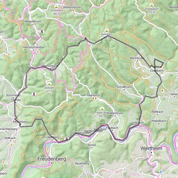
The Main Valley Ride is an exhilarating road cycling route that spans a distance of 71 kilometers and includes an ascent of 1116 meters. As you pedal through the picturesque Main Valley, you will encounter various highlights such as Eschau, Kirchhöhe, Lärchhöhe, Bischbrunn, Hasloch, Oberer Berg, Collenberg, and Geiersberg. These attractions offer opportunities to explore charming villages, visit historic sites, and enjoy the beautiful landscapes of Unterfranken. Overall, the Main Valley Ride is a moderately challenging route that provides cyclists with a mix of cultural immersion and natural beauty.
road
71 km
1116 m
Tough
Route profile
Highlights on the route
0 km
0 km
Start: Mönchberg Village centerMönchberg: A charming locality for road and gravel cyclists in Unterfranken, Germany.
Mönchberg in Unterfranken, Germany is a charming locality for road and gravel cyclists. The region is characterized by beautiful vineyards and picturesque countryside views. One of the well-known climbs nearby is the Geiersthal, which provides a thrilling challenge for cyclists. Mönchberg is an excellent choice for cyclists looking for a relaxed and scenic ride.3 km
3 km
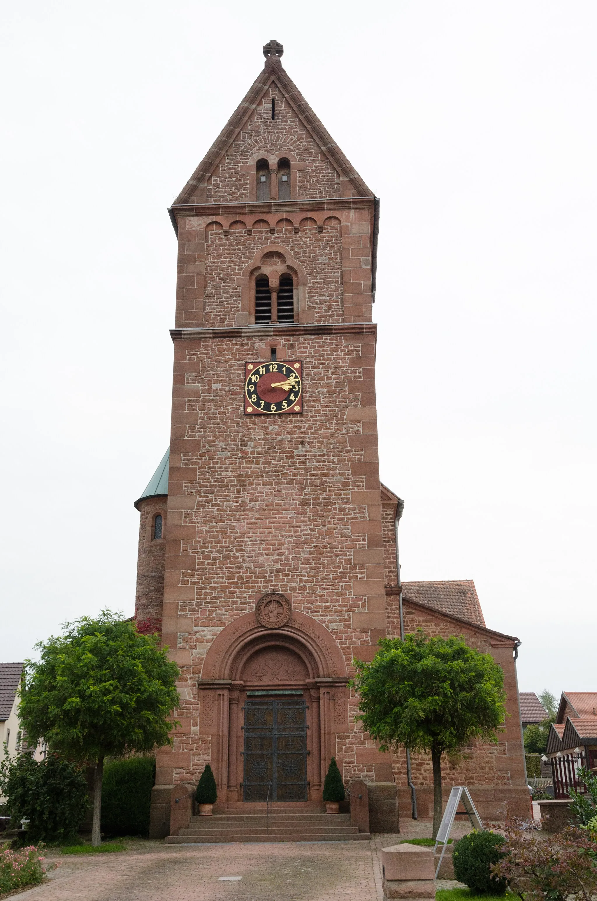
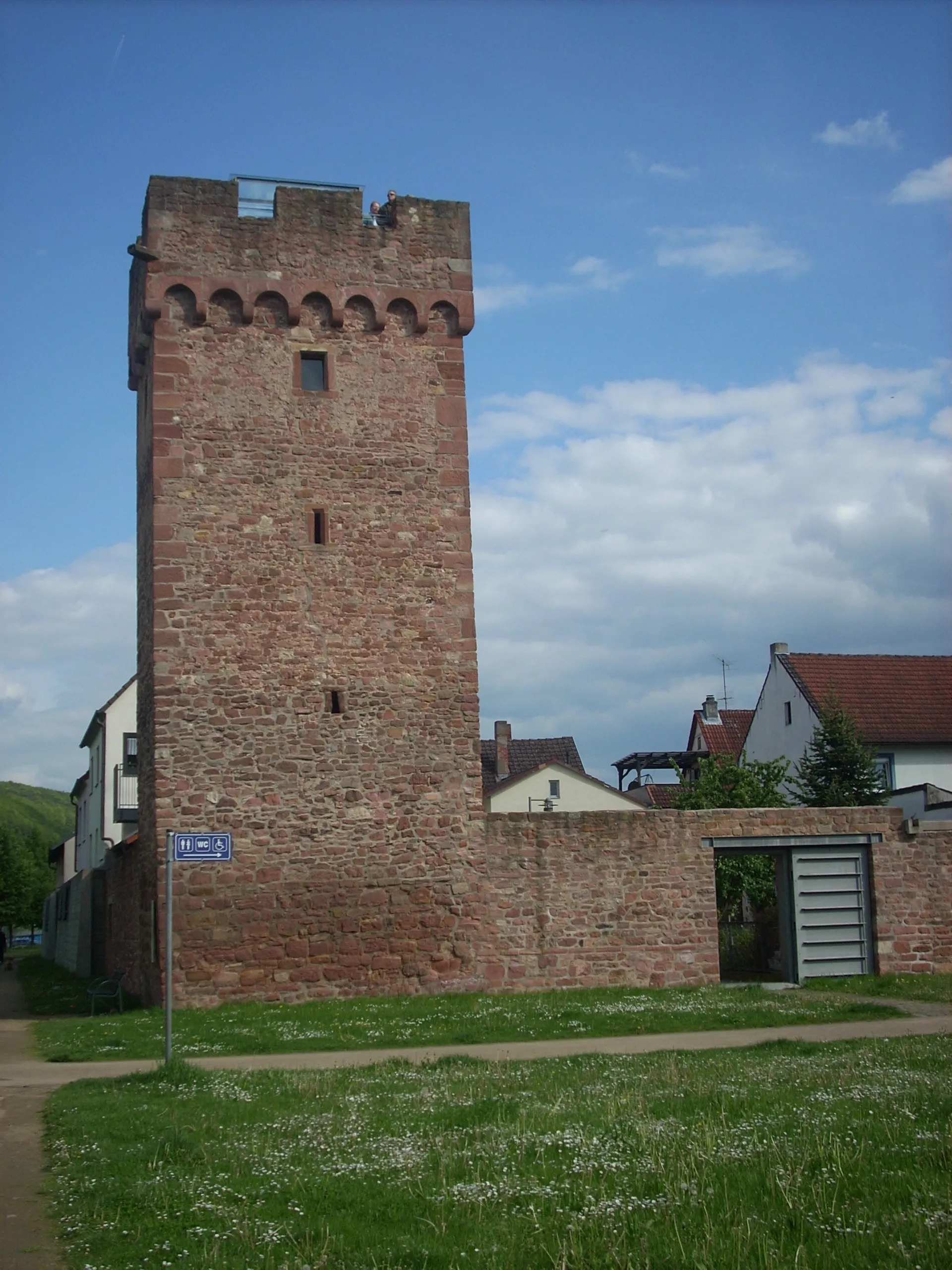
EschauVillageEschau is a quaint village known for its half-timbered houses and historic buildings. Take a short detour to discover the local architecture and traditional charm.
11 km
11 km
Kirchhöhe355 mPeakKirchhöhe is a small hill where you can enjoy panoramic views of the surrounding Main Valley. Pause here to appreciate the scenic beauty and capture memorable photos.
23 km
23 km
Lärchhöhe573 mPeakLärchhöhe is a popular viewpoint offering breathtaking vistas of the Main Valley. Stop here to rest and admire the stunning natural landscapes.
30 km
30 km
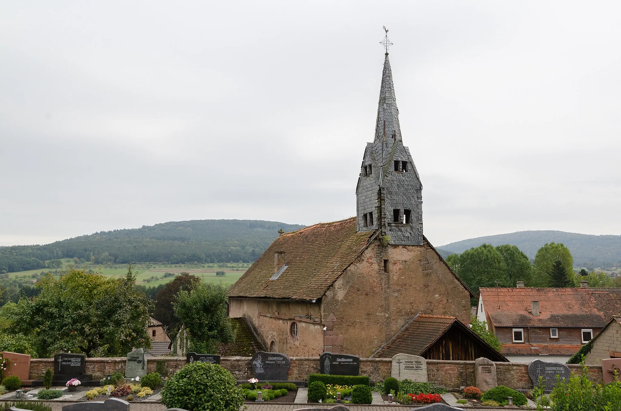
BischbrunnVillageBischbrunn is a charming village situated in the Spessart Forest. Explore its narrow streets and visit the local church to learn more about the region's history.
47 km
47 km
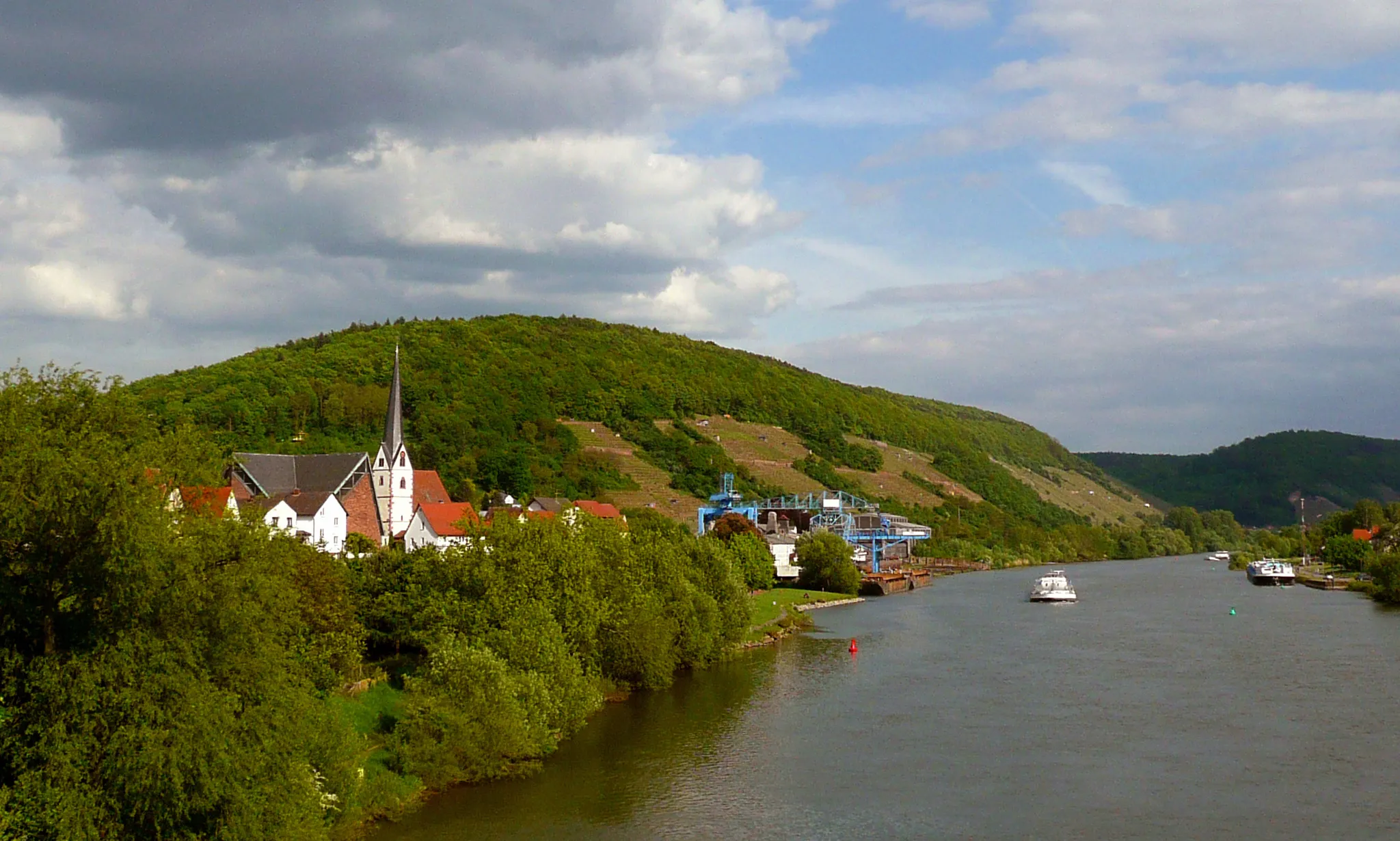
HaslochVillageHasloch is a scenic town located on the banks of the Main River. Take a break here to enjoy the peaceful atmosphere and take a stroll along the riverfront.
51 km
51 km
Oberer Berg361 mPeakOberer Berg offers mesmerizing views of the Main Valley and the surrounding forests. Pause here to marvel at the natural landscapes and recharge for the remaining journey.
63 km
63 km
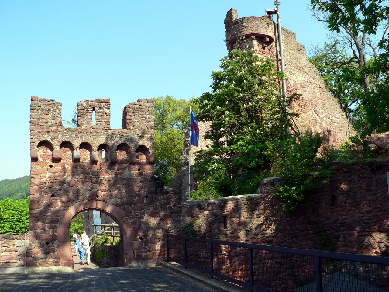
CollenbergVillageCollenberg is a picturesque village with a rich history dating back to the Middle Ages. Explore its well-preserved architecture and visit the imposing Collenburg Castle.
69 km
69 km
Geiersberg512 mPeakGeiersberg is a scenic viewpoint providing panoramic views of the Main Valley. Take a moment to appreciate the grandeur of the landscapes and enjoy the fresh air.
71 km
71 km
Finish: Mönchberg Village centerMönchberg: A charming locality for road and gravel cyclists in Unterfranken, Germany.
Cycling routes from Monchberg:
Kleinwallstadt - Plattenberg - Eschau Route Nebelkappe - Roter Buckel - Adlerstein - Bad König Route Heimbuchenthal - Dürrenberg - Rohrbrunn - Spitzenstein Route Ospis - Kleinheubach - Röllbach Route Dammberg - Schollbrunn - Auf der Schneide - Geiersberg - Waldschlösschen Route Mönchberg Loop Main Valley Ride Unterfranken Gravel Adventure Odenwald Explorer Odenwald Road Cycling Adventure The Gravel Adventure Monchberg Road Cycling Route
Cycling routes nearby: