Unterfranken Gravel Adventure
A gravel cycling route starting from Monchberg
Embark on an epic gravel adventure through the scenic countryside of Unterfranken.
Map
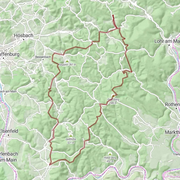
The Unterfranken Gravel Adventure is a thrilling cycling route that spans a distance of 94 kilometers and includes an ascent of 1967 meters. This challenging route takes you through picturesque landscapes, charming villages, and scenic viewpoints. The highlights along the way include Volkersbrunn, Große Solhöhe, Burgstall Wahlmich, Brandberg, Wiesthal, Küppel, Lärchhöhe, Rohrbrunn, and Spitzenstein. These attractions offer opportunities to explore remote areas, tackle gravel paths, and immerse yourself in the tranquility of nature. With its diverse terrain and stunning vistas, the Unterfranken Gravel Adventure is a must for experienced gravel cyclists seeking an unforgettable ride.
gravel
94 km
1967 m
Tough
Route profile
Highlights on the route
0 km
0 km
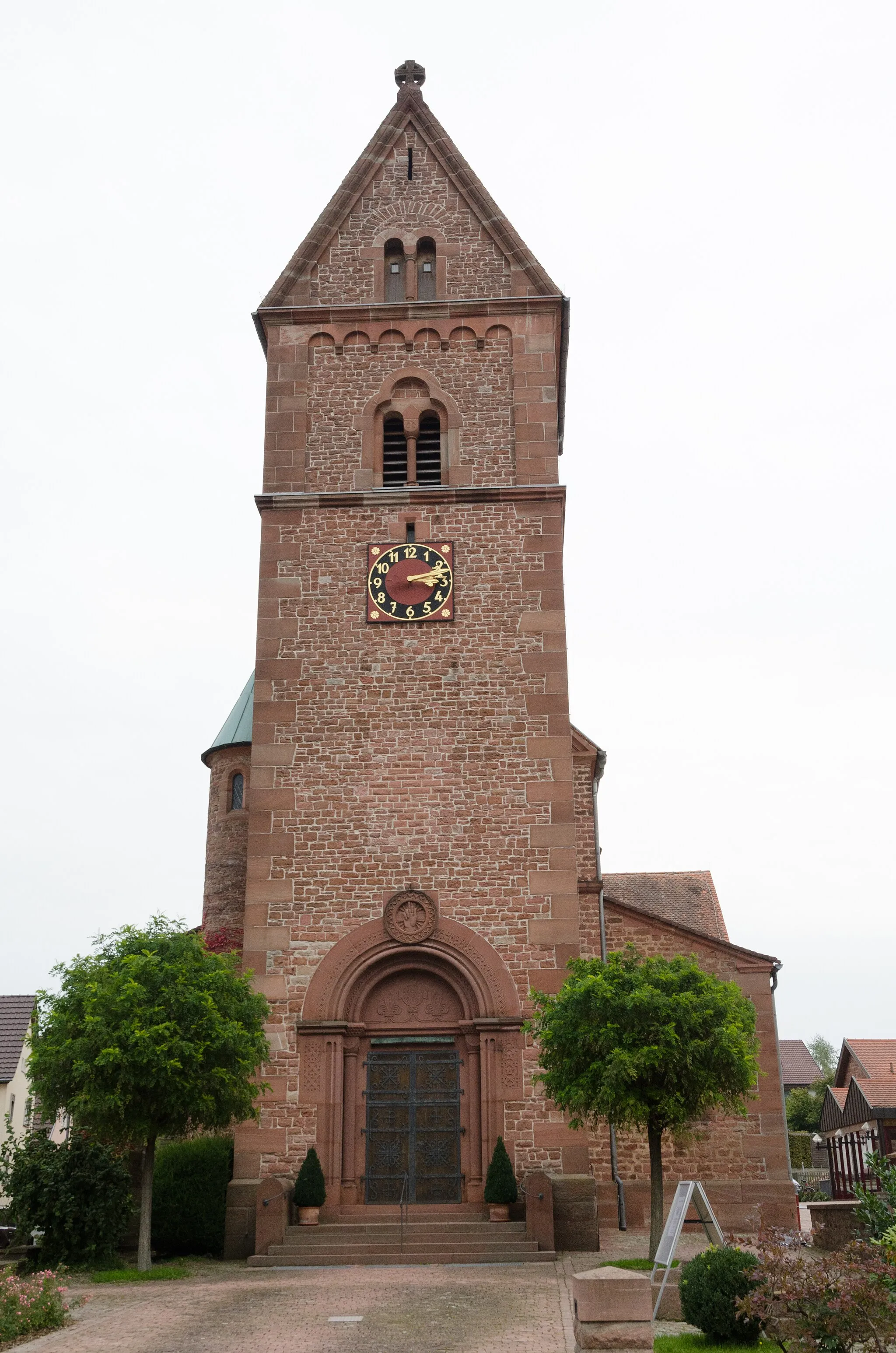
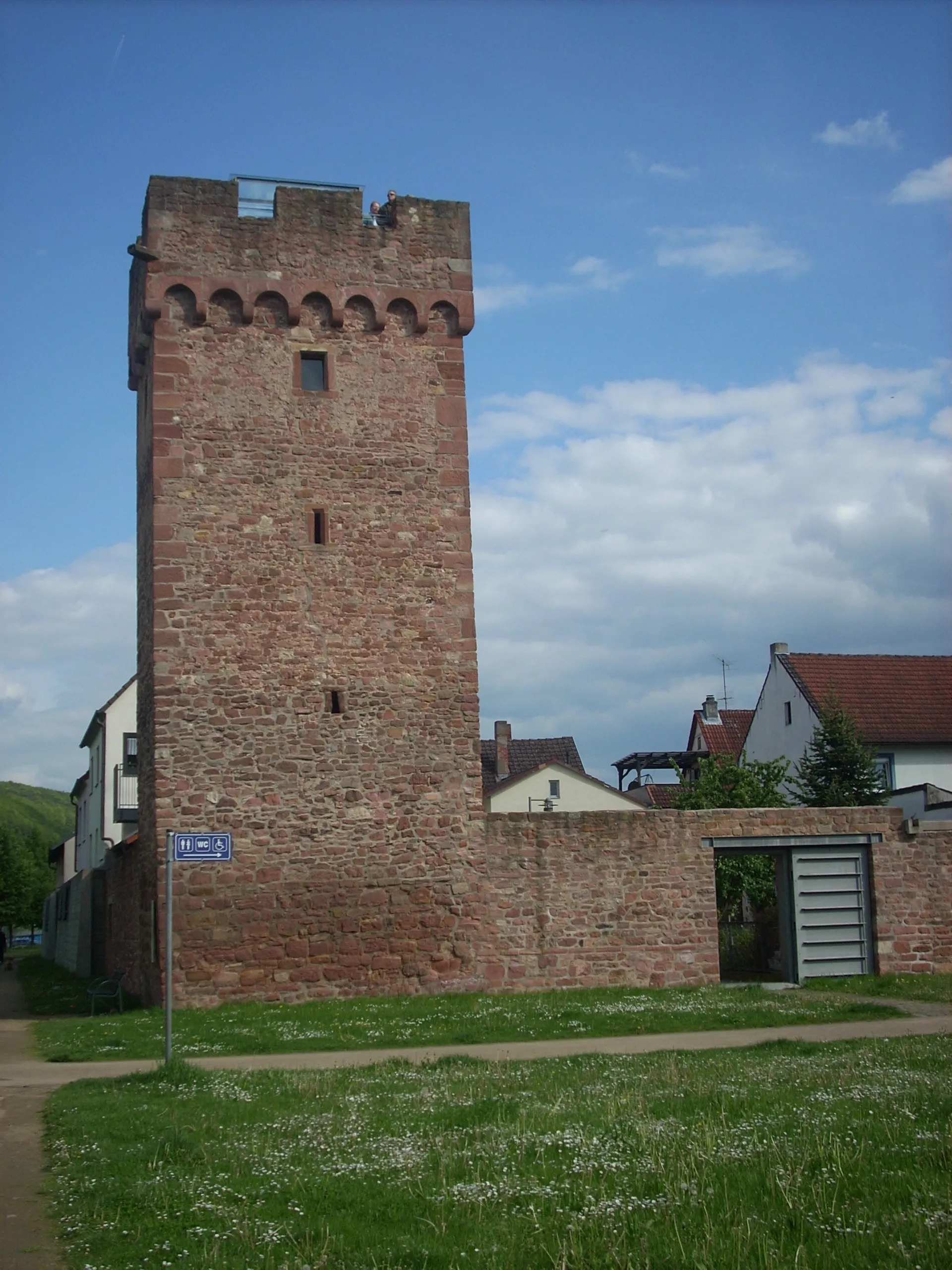
Start: Mönchberg Village centerMönchberg: A charming locality for road and gravel cyclists in Unterfranken, Germany.
Mönchberg in Unterfranken, Germany is a charming locality for road and gravel cyclists. The region is characterized by beautiful vineyards and picturesque countryside views. One of the well-known climbs nearby is the Geiersthal, which provides a thrilling challenge for cyclists. Mönchberg is an excellent choice for cyclists looking for a relaxed and scenic ride.15 km
15 km
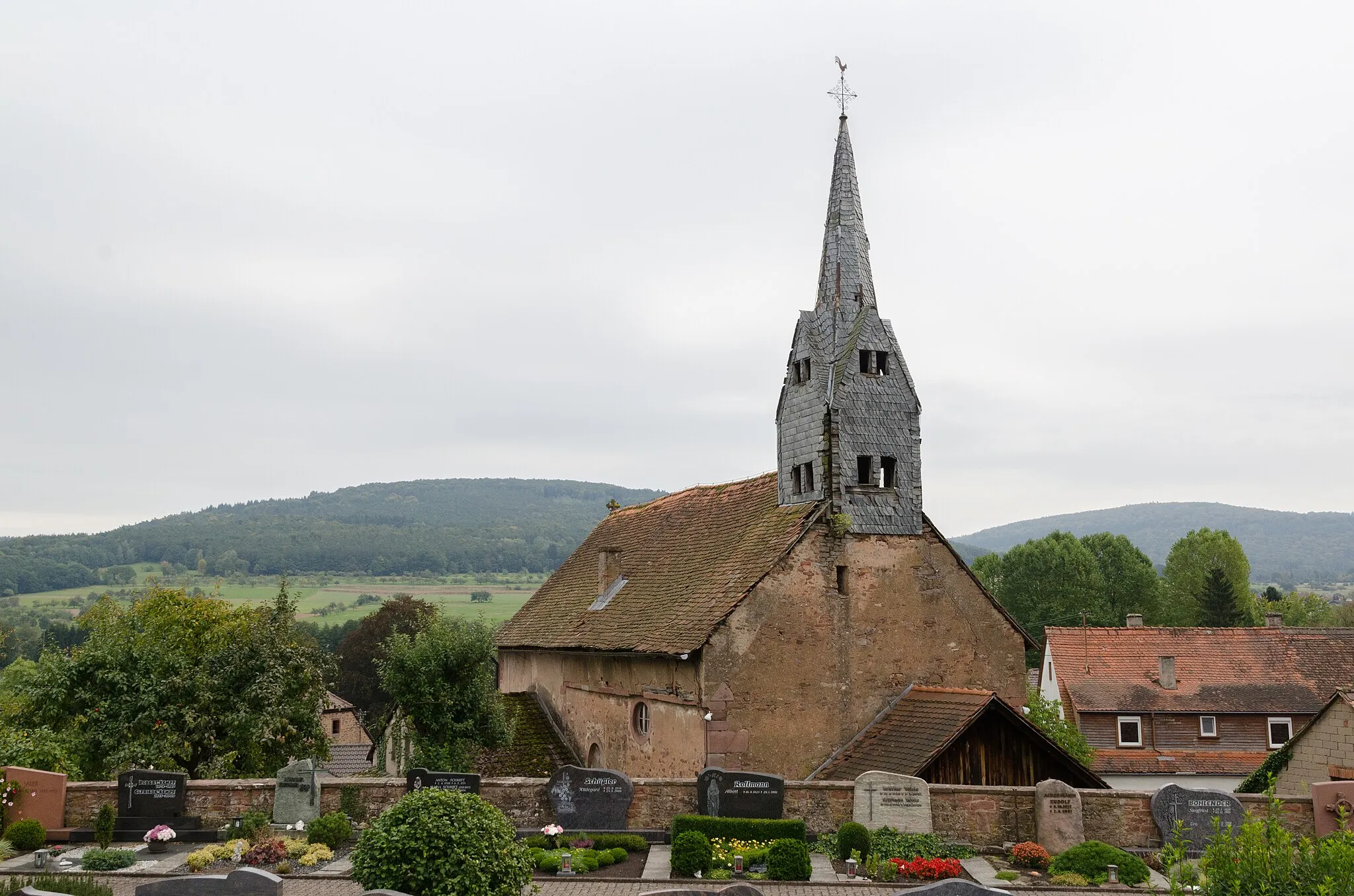
VolkersbrunnVillageVolkersbrunn is a tranquil village surrounded by vineyards, fields, and forests. Take a short break here to enjoy the peaceful atmosphere and soak in the rural charm.
16 km
16 km
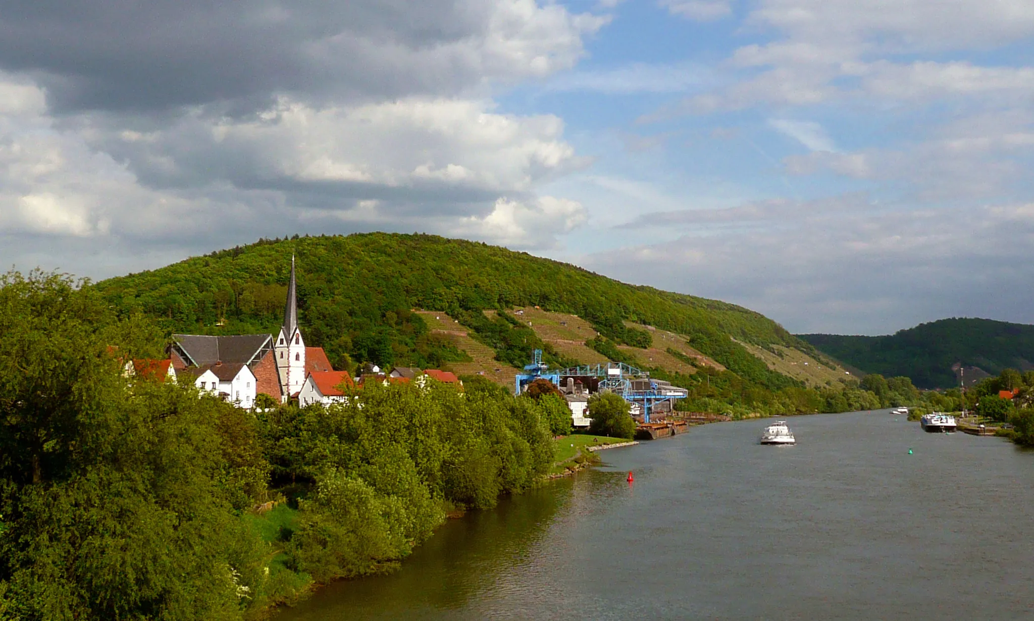
Große Solhöhe417 mPeakGroße Solhöhe is a scenic viewpoint offering panoramic vistas of the surrounding landscapes. Pause here to capture the breathtaking beauty and admire the quietude of nature.
27 km
27 km
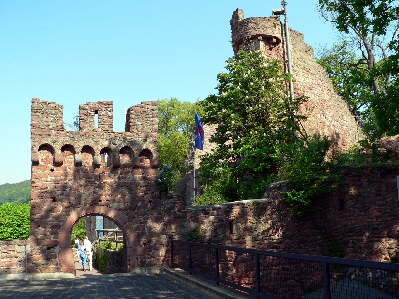
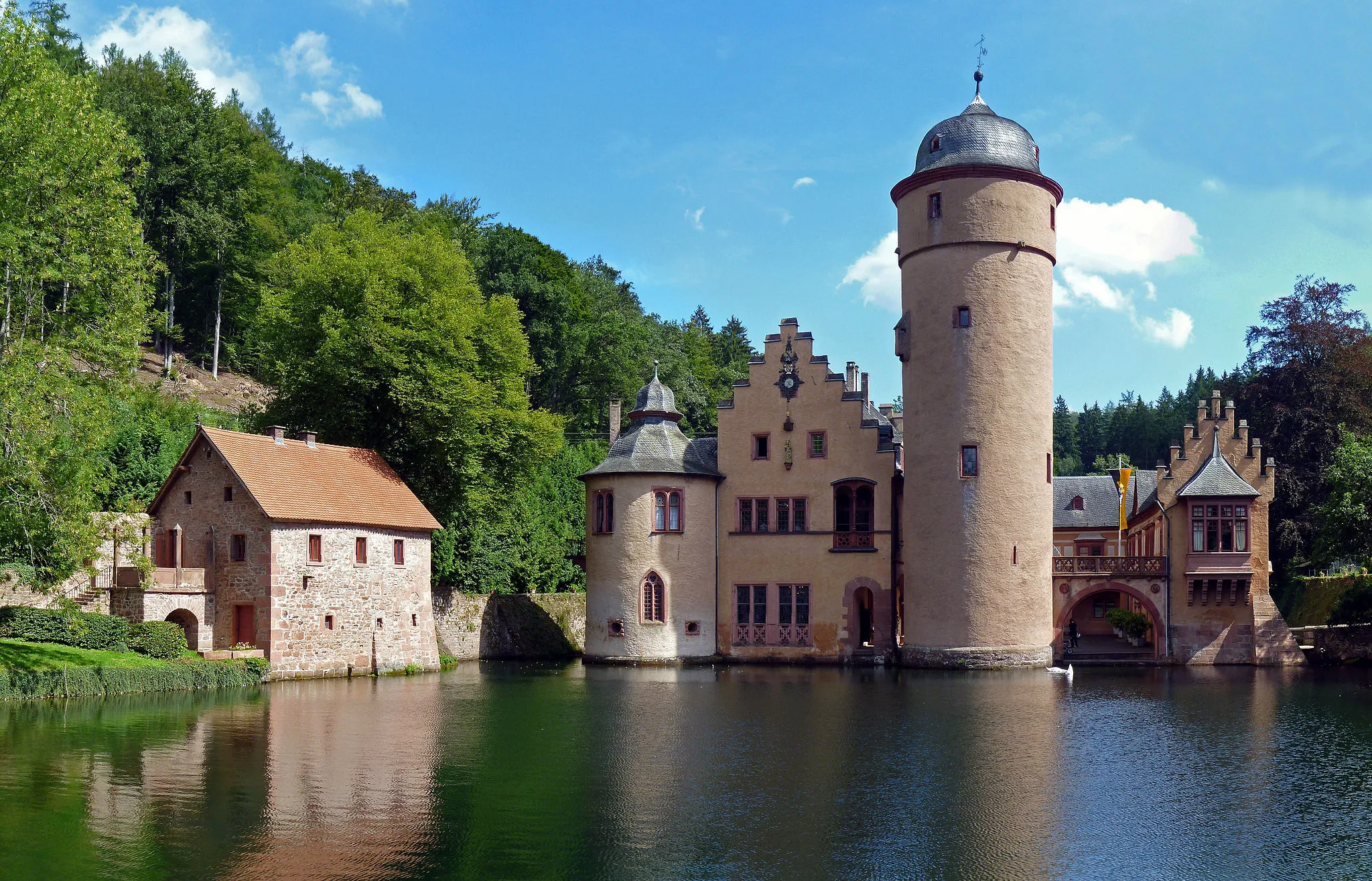
Burgstall WahlmichCastleBurgstall Wahlmich is a historic site with traces of an ancient settlement. Take a moment to explore the area and imagine the lives of people who once inhabited this place.
30 km
30 km
Brandberg410 mPeakBrandberg is a remote village nestled amidst forests and meadows. Explore its tranquil surroundings and enjoy the sense of solitude in the heart of nature.
48 km
48 km
WiesthalVillageWiesthal is a small village with a rich heritage of traditional craftsmanship. Visit the local artisans to learn about woodworking traditions and pick up unique souvenirs.
55 km
55 km
Küppel515 mPeakKüppel is a hill with stunning views of the rolling hills and valleys of Unterfranken. Pause here to appreciate the natural beauty and recharge for the remaining ride.
72 km
72 km
Lärchhöhe573 mPeakLärchhöhe is a picturesque viewpoint overlooking the scenic landscapes of Unterfranken. Stop here to take in the beauty of the region and enjoy a well-deserved rest.
75 km
75 km
RohrbrunnHamletRohrbrunn is a charming village located amidst dense forests. Take a moment to serenade the silence and enjoy the peacefulness of nature before continuing your adventure.
92 km
92 km
Spitzenstein484 mPeakSpitzenstein is a rocky outcrop offering panoramic views of the surrounding landscape. Take a detour to reach this elevated point and take in the sweeping vistas.
94 km
94 km
Finish: Mönchberg Village centerMönchberg: A charming locality for road and gravel cyclists in Unterfranken, Germany.
Cycling routes from Monchberg:
Kleinwallstadt - Plattenberg - Eschau Route Nebelkappe - Roter Buckel - Adlerstein - Bad König Route Heimbuchenthal - Dürrenberg - Rohrbrunn - Spitzenstein Route Ospis - Kleinheubach - Röllbach Route Dammberg - Schollbrunn - Auf der Schneide - Geiersberg - Waldschlösschen Route Mönchberg Loop Main Valley Ride Unterfranken Gravel Adventure Odenwald Explorer Odenwald Road Cycling Adventure The Gravel Adventure Monchberg Road Cycling Route
Cycling routes nearby: