Dammberg - Schollbrunn - Auf der Schneide - Geiersberg - Waldschlösschen Route
A road cycling route starting from Monchberg
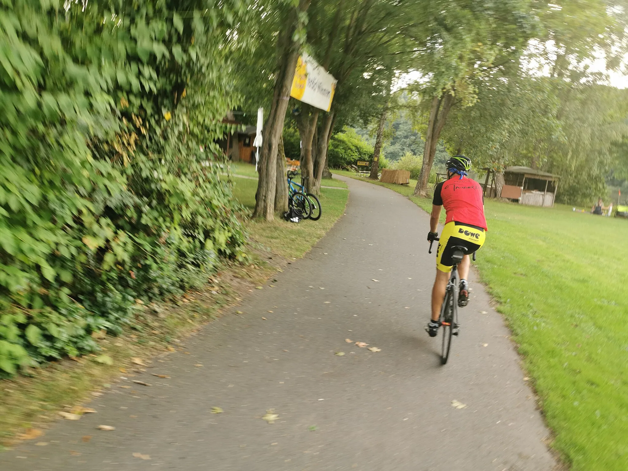
Embark on an epic road cycling journey through Dammberg, Schollbrunn, Auf der Schneide, Geiersberg, and Waldschlösschen
Map
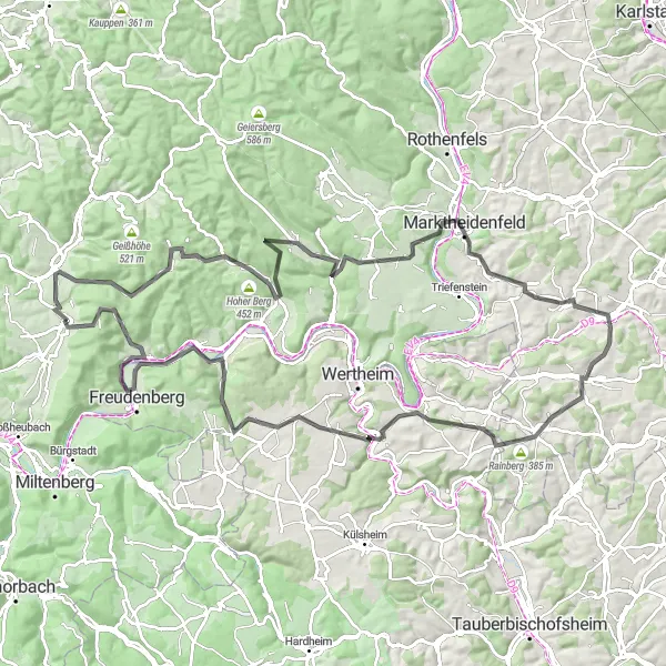
Get ready for a challenging 113 km road cycling adventure with an ascent of 1871 meters. This route offers stunning scenery, exhilarating climbs, and beautiful viewpoints along the way.
road
113 km
1871 m
Savage
Route profile
Highlights on the route
0 km
0 km
Start: Mönchberg Village centerMönchberg: A charming locality for road and gravel cyclists in Unterfranken, Germany.
Mönchberg in Unterfranken, Germany is a charming locality for road and gravel cyclists. The region is characterized by beautiful vineyards and picturesque countryside views. One of the well-known climbs nearby is the Geiersthal, which provides a thrilling challenge for cyclists. Mönchberg is an excellent choice for cyclists looking for a relaxed and scenic ride.14 km
14 km
Dammberg455 mPeakClimb the Dammberg and enjoy panoramic views of Mönchberg and the surrounding countryside.
28 km
28 km
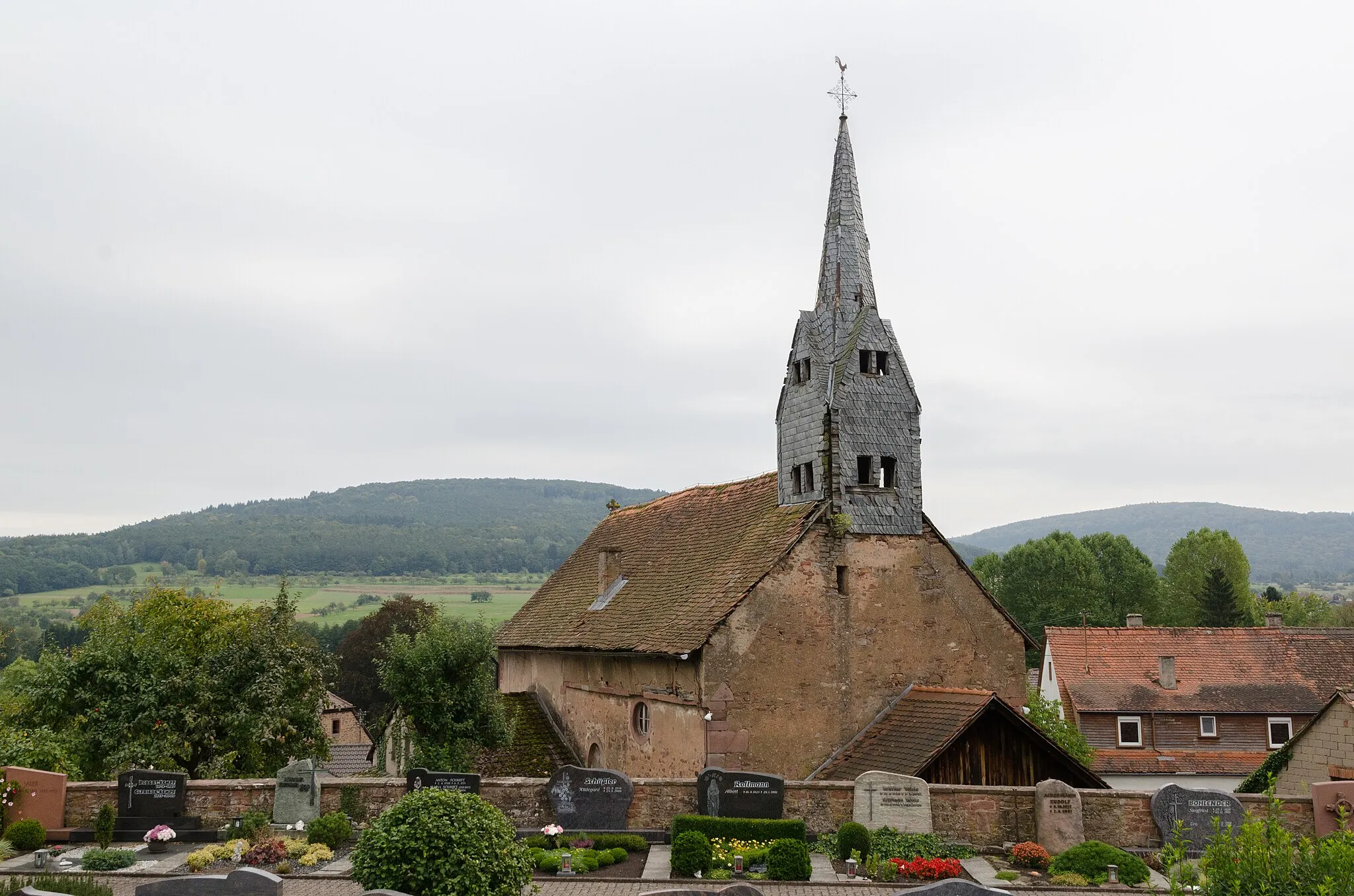
SchollbrunnVillageExperience the beauty of Schollbrunn's natural surroundings including its lush forests and rolling hills.
41 km
41 km
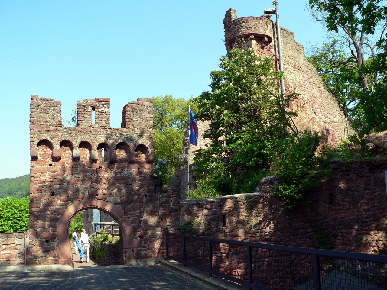
Mainberg248 mPeakAdmire the impressive Mainberg Castle, perched on a hilltop overlooking the Main River valley.
51 km
51 km
Auf der Schneide304 mPeakRide along Auf der Schneide, a stunning mountain ridge offering breathtaking views of the region.
61 km
61 km
HelmstadtVillageCycle through Helmstadt and enjoy its charming atmosphere and quaint historic buildings.
74 km
74 km
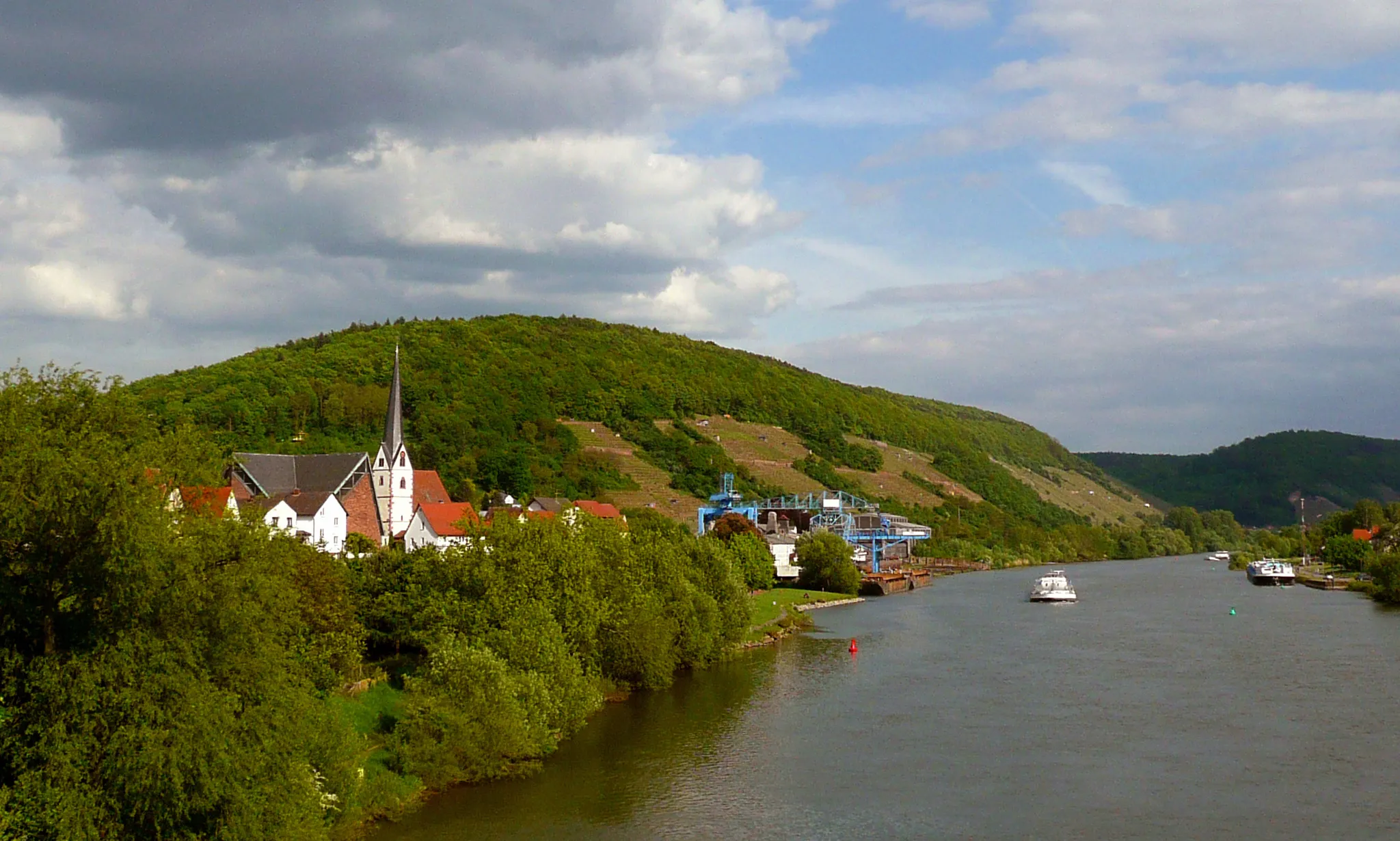
UrpharVillageVisit Urphar, a picturesque village known for its medieval architecture and scenic location along the Main River.
78 km
78 km
Satzenberg228 mPeakReach the summit of Satzenberg and witness unparalleled views of the Spessart mountains.
91 km
91 km
HolzturmViewpointMarvel at the Holzturm, a wooden tower dominating the landscape with its unique architectural design.
101 km
101 km
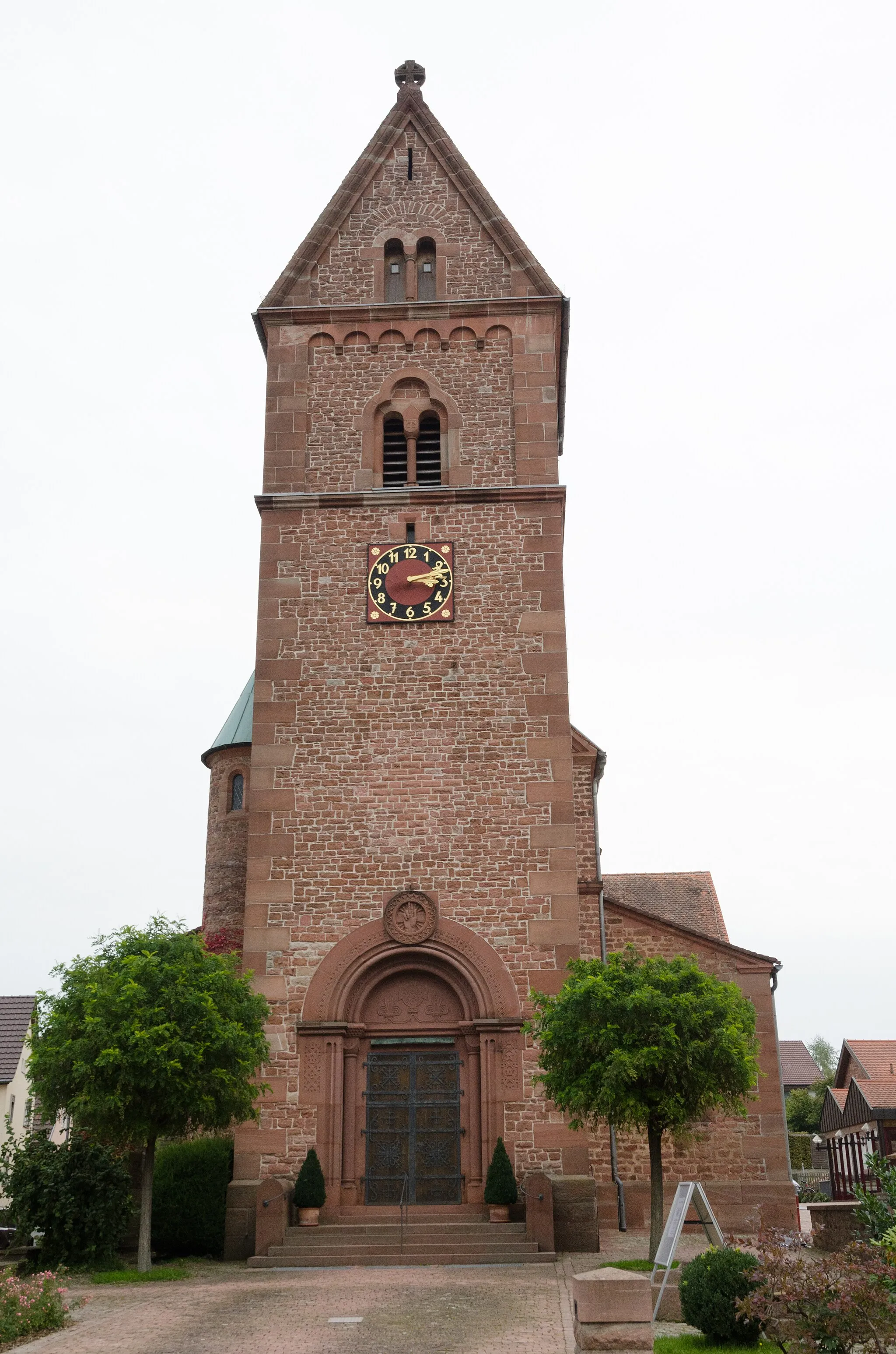
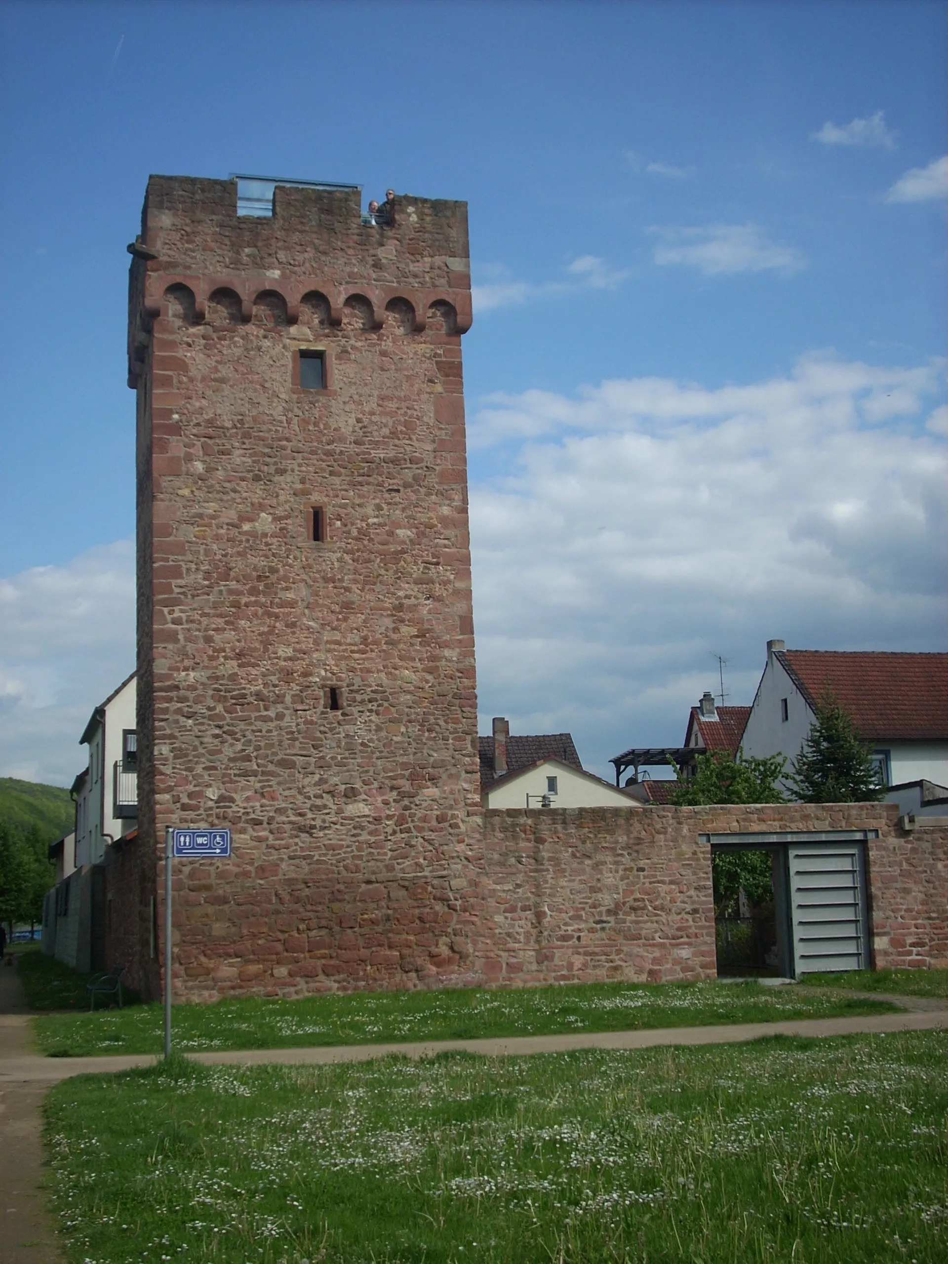
FreudenbergTownEnjoy the idyllic beauty of Freudenberg, known for its charming narrow alleys and historic half-timbered houses.
111 km
111 km
Geiersberg512 mPeakAdmire the stunning vistas from Geiersberg, a popular viewpoint offering expansive views of the surroundign countryside.
112 km
112 km
WaldschlösschenShelterConclude your journey at the Waldschlösschen, a historic inn with a beautiful outdoor seating area, nestled amidst nature.
113 km
113 km
Finish: Mönchberg Village centerMönchberg: A charming locality for road and gravel cyclists in Unterfranken, Germany.
Cycling routes from Monchberg:
Kleinwallstadt - Plattenberg - Eschau Route Nebelkappe - Roter Buckel - Adlerstein - Bad König Route Heimbuchenthal - Dürrenberg - Rohrbrunn - Spitzenstein Route Ospis - Kleinheubach - Röllbach Route Dammberg - Schollbrunn - Auf der Schneide - Geiersberg - Waldschlösschen Route Mönchberg Loop Main Valley Ride Unterfranken Gravel Adventure Odenwald Explorer Odenwald Road Cycling Adventure The Gravel Adventure Monchberg Road Cycling Route
Cycling routes nearby: