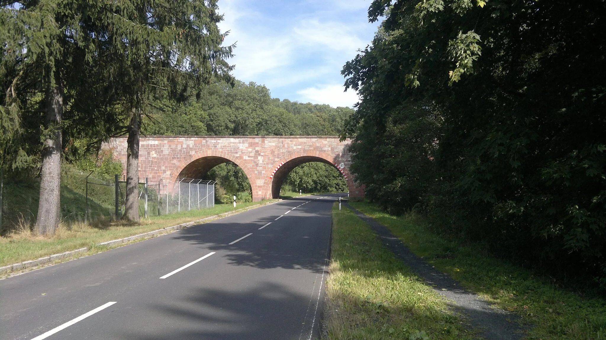
Picturesque countryside for peaceful cycling
Cycling routes from Motten
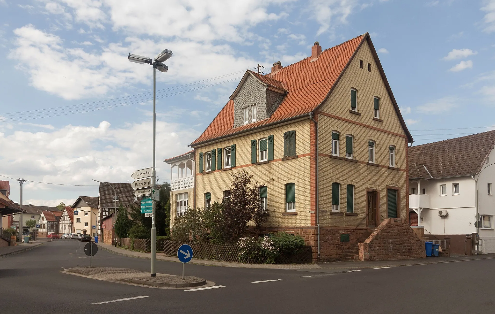
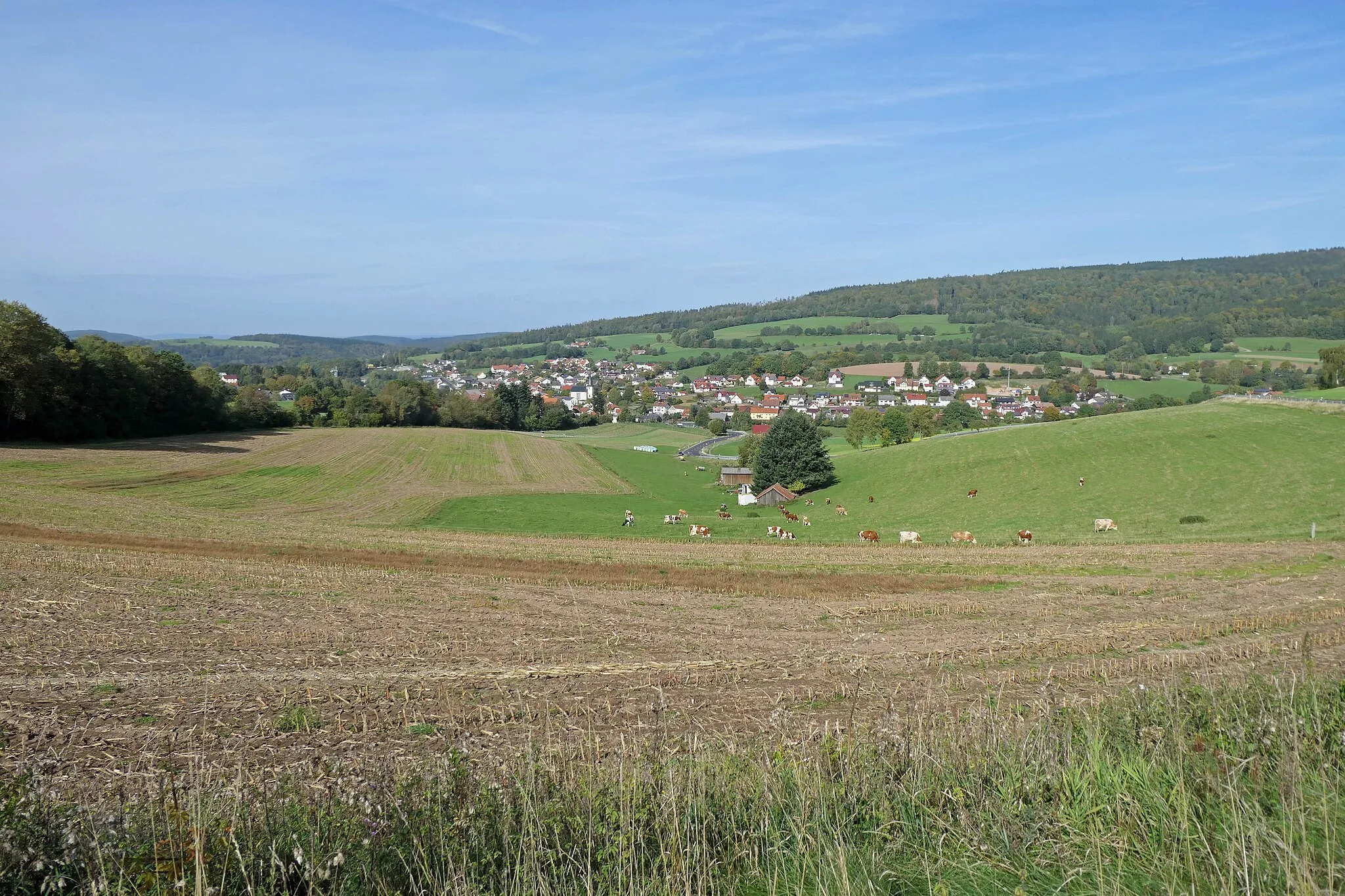
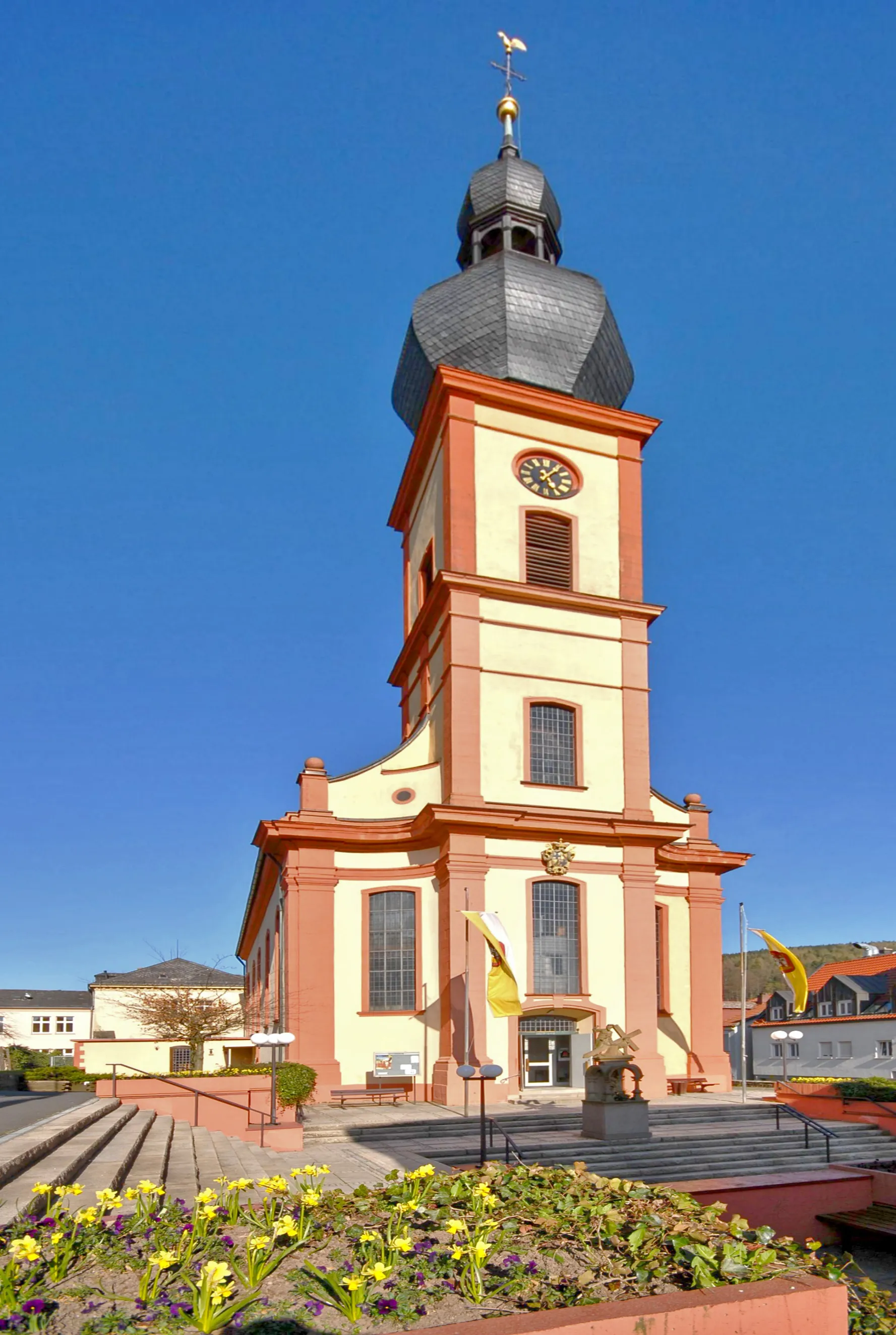
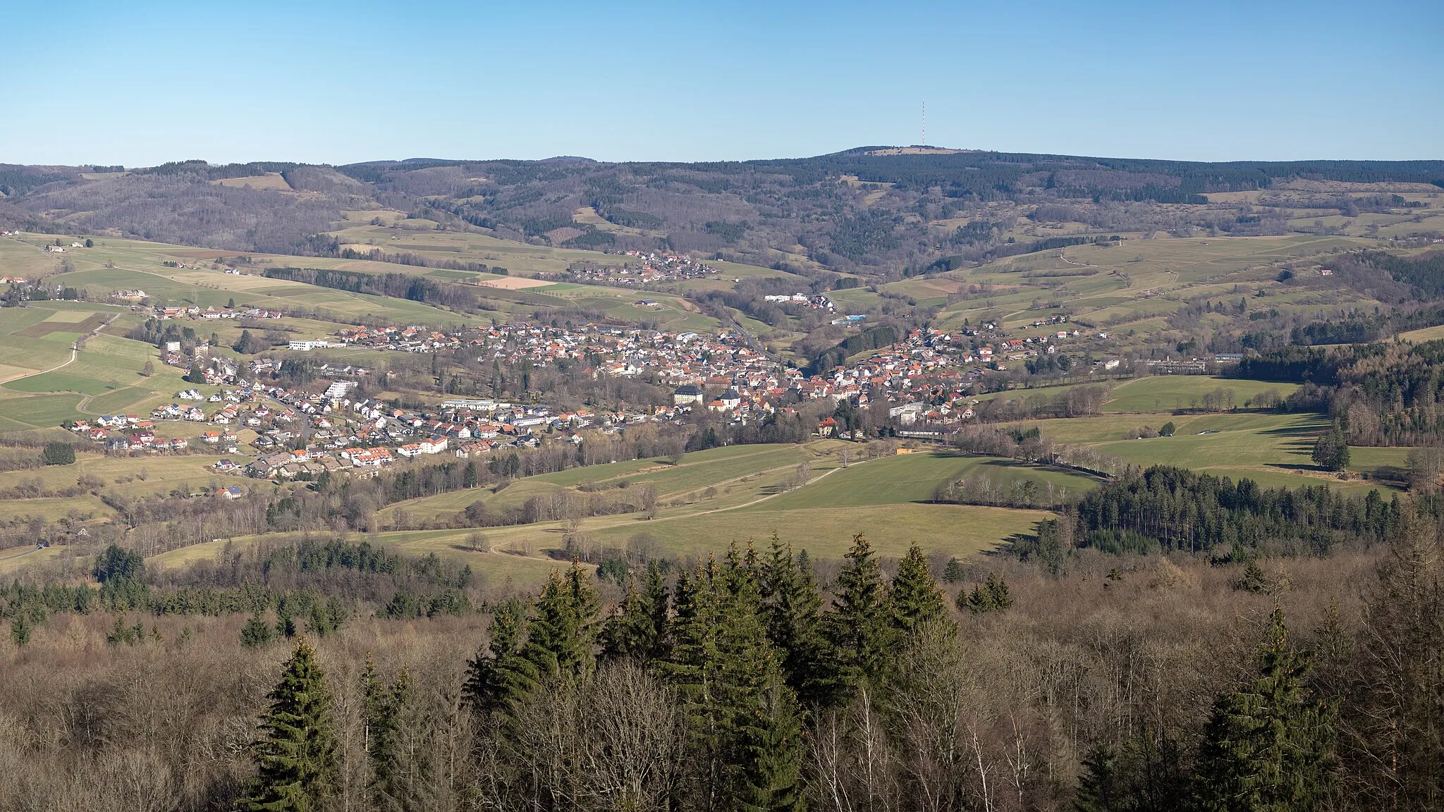
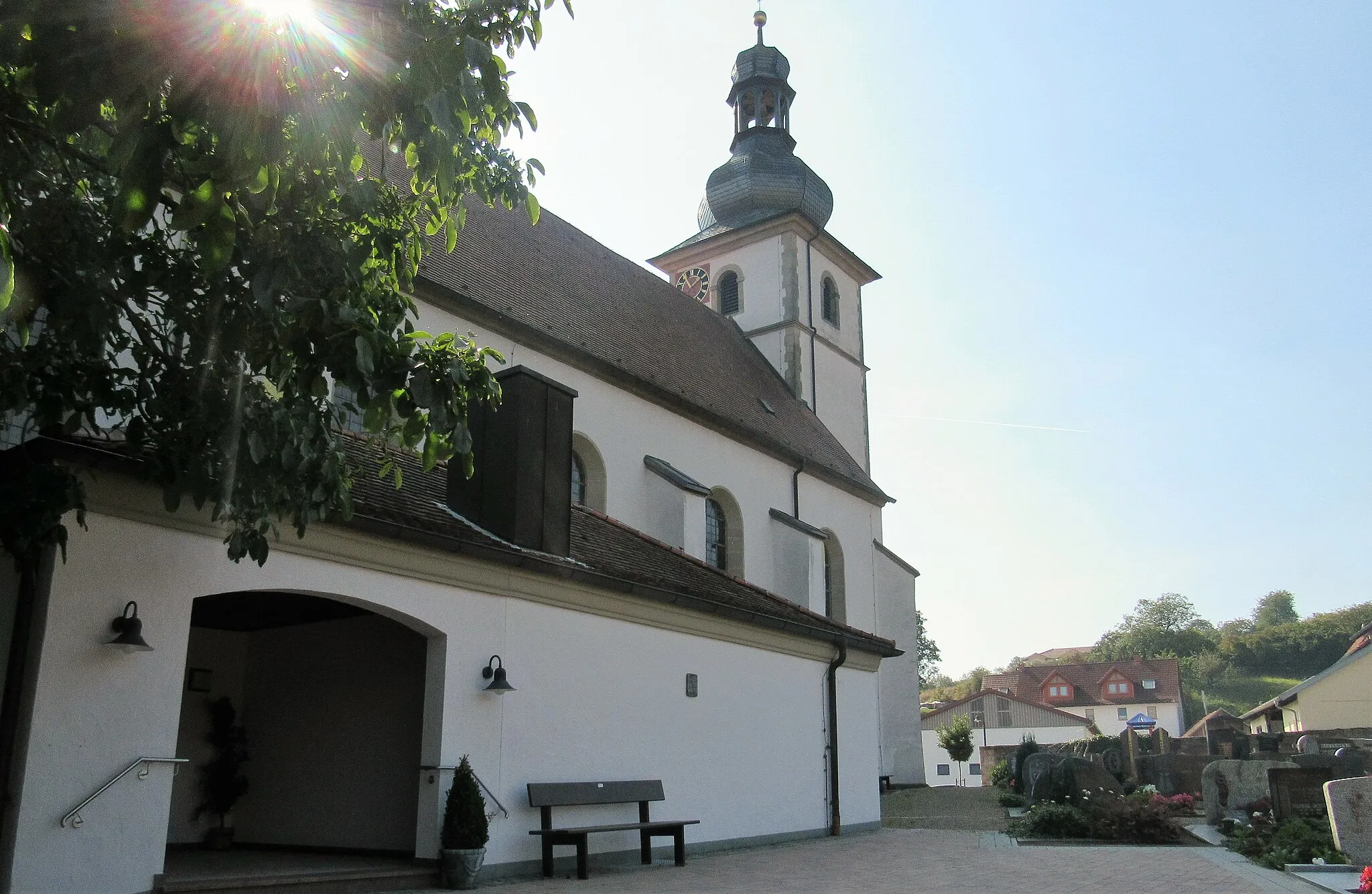
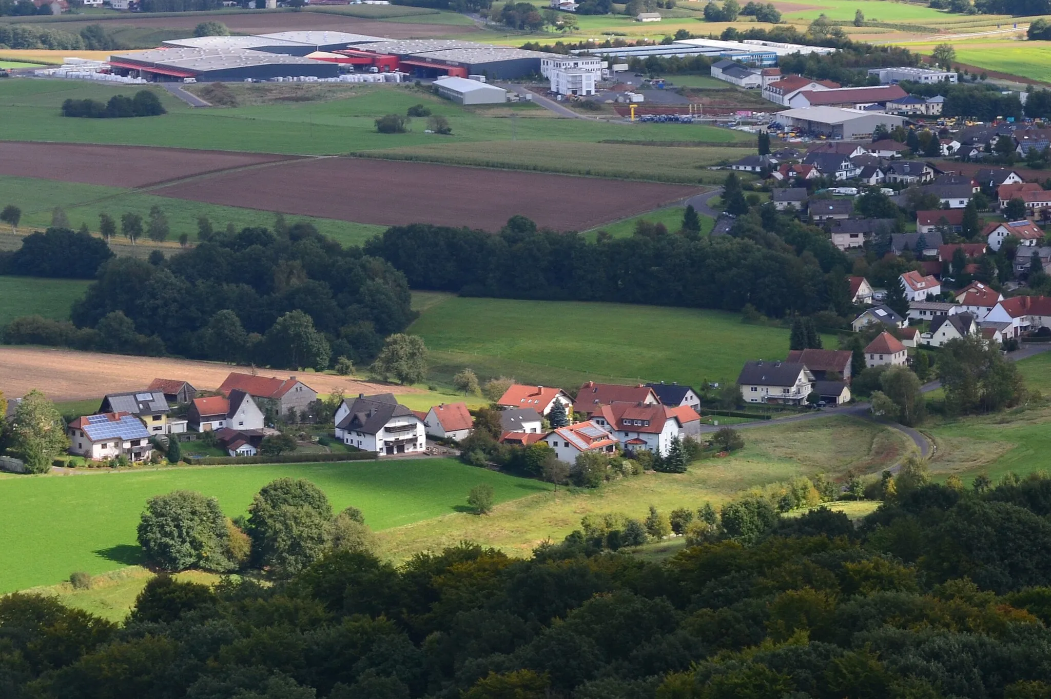
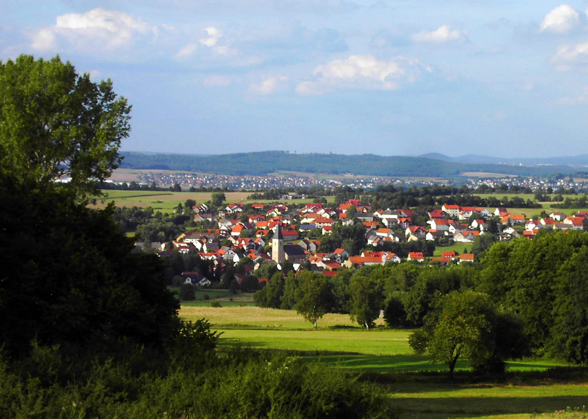
Motten is a locality in the Unterfranken region of Germany. It offers decent cycling opportunities, particularly for road and gravel cyclists. The surrounding countryside provides picturesque views and peaceful riding experiences. While Motten doesn't have any famous cycling spots nearby, it is still a suitable destination for cyclists who prefer less crowded areas. The roads are well-maintained, making it a pleasant place to ride and explore.
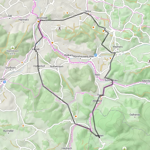
Burg Brandenstein Loop

Discover the charm of Burg Brandenstein and the surrounding picturesque landscapes on this road cycling route.
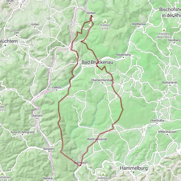
The Burg Brandenstein Loop is a 71 km road cycling route that offers a perfect mix of scenic beauty and cultural highlights. With a total ascent of 1036 m, it's a moderately challenging route suitable for intermediate-level cyclists. Highlights along the route include Sparhöfer Küppel, a popular hill with stunning views, Hauberg, a historical landmark with unique architectural features, and Burg Brandenstein, a beautifully preserved castle with a rich history. In addition to these highlights, you'll also pass through the picturesque villages of Hintersteinau, Rommerz, and Uttrichshausen, each offering its own charm and enchanting landscapes. Overall, the Burg Brandenstein Loop is a delightful cycling journey through the heart of Unterfranken, showcasing the region's natural and cultural treasures.
Mountainous Adventure

Discover the rugged beauty of the Dalherdakuppe
Embark on a challenging gravel ride through Unterfranken, covering a distance of 102 km and ascending 2488 meters. This mountainous adventure takes you through breathtaking landscapes, with highlights including the historic Ruine Ebersburg and the picturesque Hilders. The difficulty level is rated at 4, suitable for well-trained amateurs. With an epicness rating of 3, this route provides a thrilling and rewarding experience. The highlights along the way offer scenic viewpoints and historical landmarks. The Dalherdakuppe, standing at 7 kilometers from the start, is a must-visit spot providing a panoramic view of the surrounding area.
Explore the scenic landscapes of Uttrichshausen
Immerse yourself in the picturesque countryside of Unterfranken with this 43 km road tour. While the ascent is relatively moderate at 556 meters, the diverse scenery makes up for it. Uttrichshausen serves as the perfect starting point, inviting you to explore its charming village atmosphere. Rated as a level 2 difficulty route, it welcomes both beginners and experienced riders. With an epicness rating of 2, this route offers picturesque views and cultural highlights. Highlights along the way include the historic Hertelberg and the serene Motzküppel. These spots provide excellent photo opportunities and showcase the region's cultural heritage.
Rhön Delight
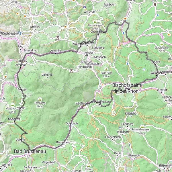
Flourish through the scenic landscapes of Rhön mountains and encounter beautiful towns and landmarks
This route takes you on a captivating journey through the picturesque landscapes of Rhön mountains. With a total distance of 86 kilometers and an elevation gain of 1560 meters, this route offers a challenging yet rewarding experience for well-trained amateur cyclists. Discover the enchanting Horstberg, Maiersbach, and Wüstensachsen along the way. Pedal your way to Heidelstein Schwabenhimmel, a popular viewpoint offering breathtaking panoramic views. Behold the stunning beauty of Bischofsheim in der Rhön and make a stop at Kreuzbergschanze, a historic wooden ski jump. Explore Bad Brückenau and conclude your journey at the cultural landmark, Motten.
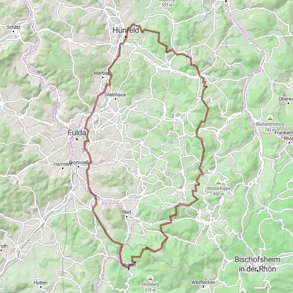
A demanding gravel challenge for hardcore cyclists
Embark on the ultimate gravel challenge starting near Motten! This 100km journey will test your endurance and reward you with spectacular views along the way. Get ready to conquer steep ascents, witness untouched natural beauty, and enjoy the thrill of an epic gravel adventure.
Discovering the Countryside
Embark on a scenic route through the captivating countryside
Take on the challenge of this gravel route starting near Motten and immerse yourself in the beauty of the countryside. Along this route, you'll encounter charming villages, rolling hills, and enchanting forest trails. This adventure is perfect for explorers seeking a delightful escape from the hustle and bustle of everyday life.
Exploring Nature's Wonders

An unforgettable journey through nature's wonders
Embark on a thrilling gravel adventure starting near Motten and immerse yourself in the beauty of nature. This route takes you through breathtaking landscapes, allowing you to witness the wonders of the region's diverse flora and fauna. Explore hidden gems and soak in the tranquility of the surroundings on this extraordinary cycling expedition.
Rhön Adventure
Embark on a challenging cycling adventure through the scenic Rhön mountains and embrace the thrill of epic landscapes
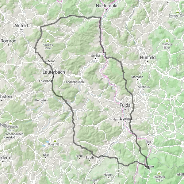
Prepare for an epic cycling adventure through the stunning landscapes of Rhön mountains. With a total distance of 138 kilometers and an elevation gain of 1916 meters, this route is suitable for well-trained amateur cyclists seeking a challenging endeavor. Marvel at the stunning vistas from Kälberberg and Flieden. Ascend Rehberg and enjoy panoramic views of the picturesque Hosenfeld. Discover the hidden gem of Hohwald and be inspired by Lauterbach's cultural offerings. Reach the Geldkopf summit and take in the breathtaking scenery. Conclude your journey at Breitenbach am Herzberg, a town rich in history and charm.
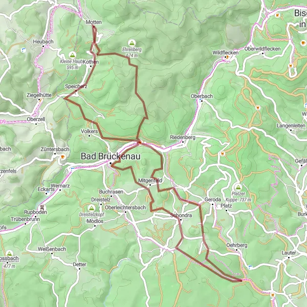
Gravel Adventure
An exciting off-road journey through beautiful landscapes
Enjoy a thrilling gravel adventure starting near Motten in Unterfranken, Germany. This route offers stunning views, challenging terrains, and opportunities to explore historical landmarks. Whether you're a seasoned cyclist or an adrenaline seeker, this gravel adventure will satisfy your thirst for exploration.
Experience the beauty of the Fulda Valley on this challenging road cycling route.
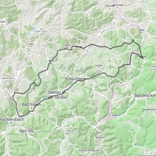
The Fulda Valley Ride is a 104 km road cycling route that takes you through the scenic Fulda Valley. With a total ascent of 1461 m, it offers both challenging climbs and breathtaking descents. Highlights along the route include Uttrichshausen, a charming village with historic buildings, Sparhöfer Küppel, a famous hill with panoramic views, and Udenhain, a picturesque village surrounded by lush greenery. Overall, the Fulda Valley Ride provides a great opportunity to explore the natural beauty of the region while enjoying a challenging cycling adventure.
Cycling routes nearby:
Nearby regions: