Cycle through the picturesque landscapes of Oberleichtersbach.
Cycling routes from Oberleichtersbach
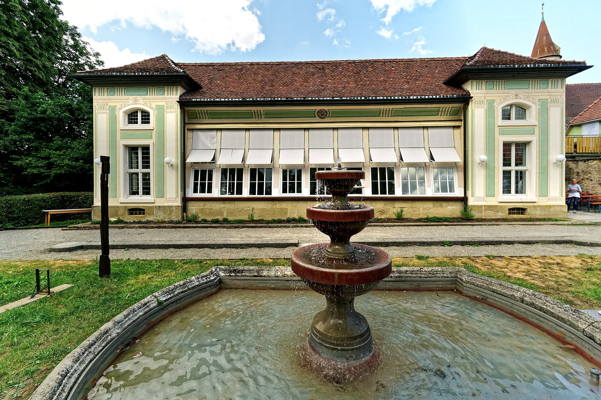
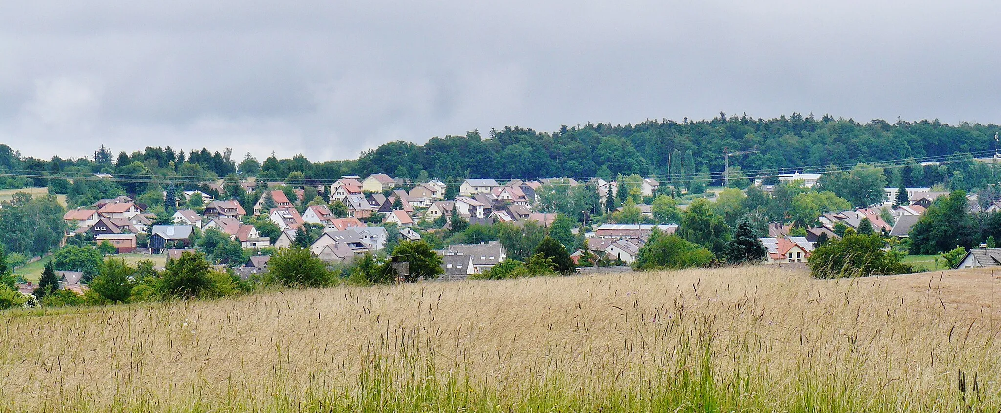
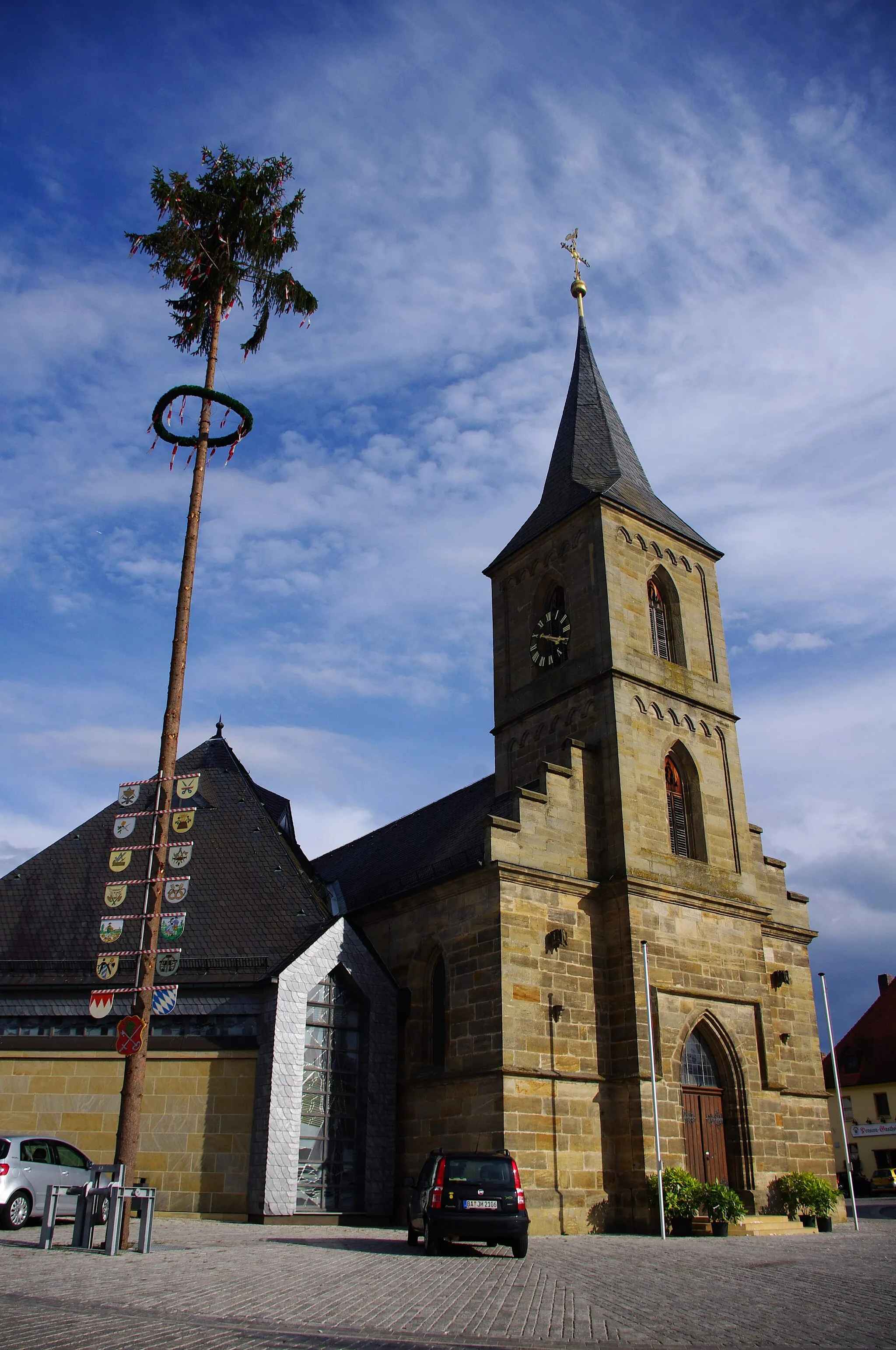
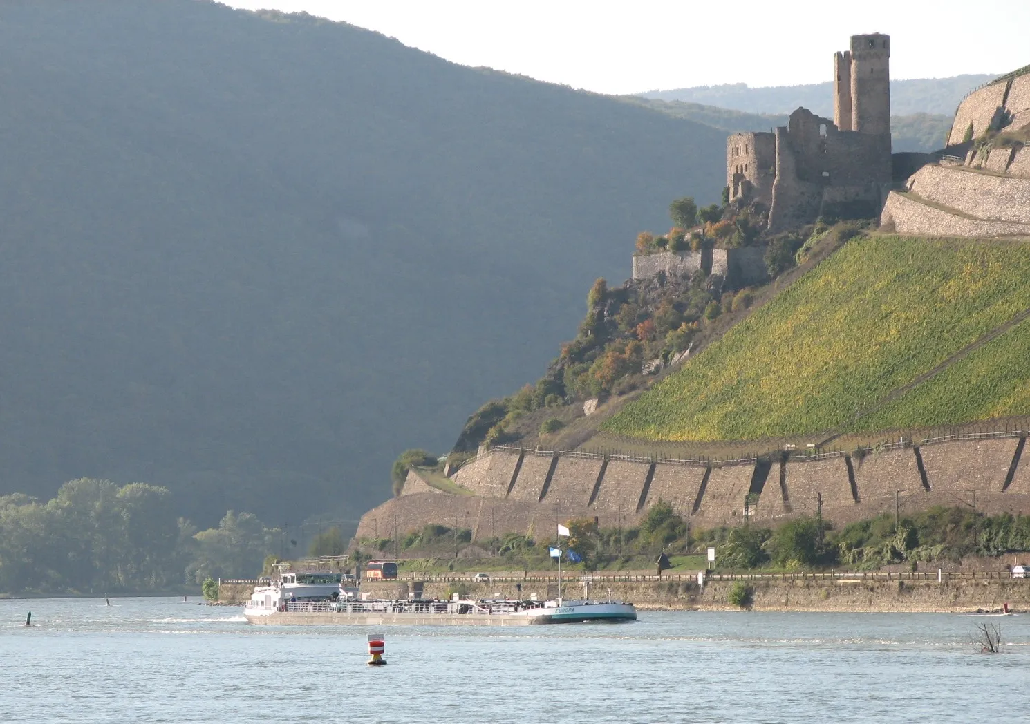
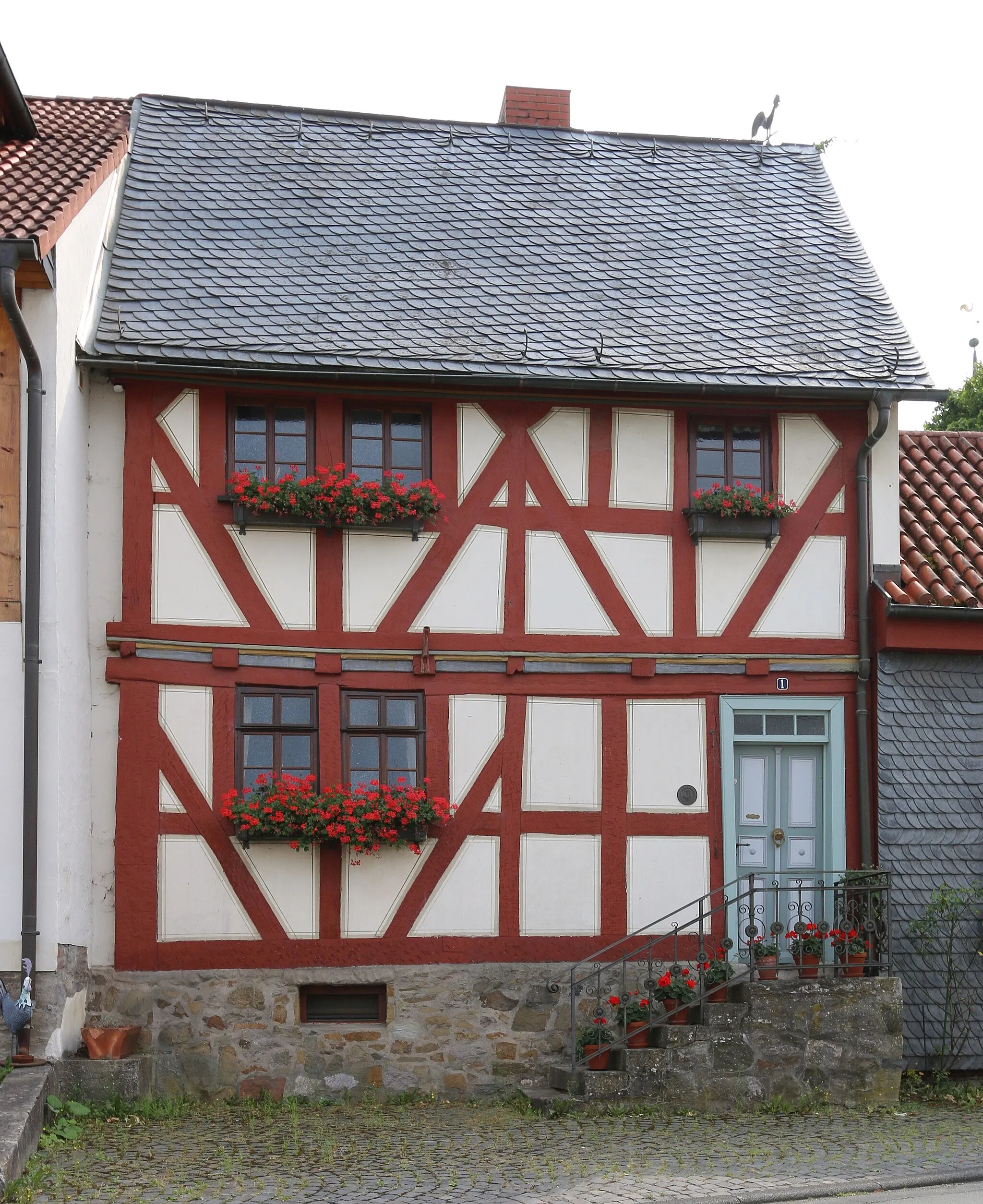
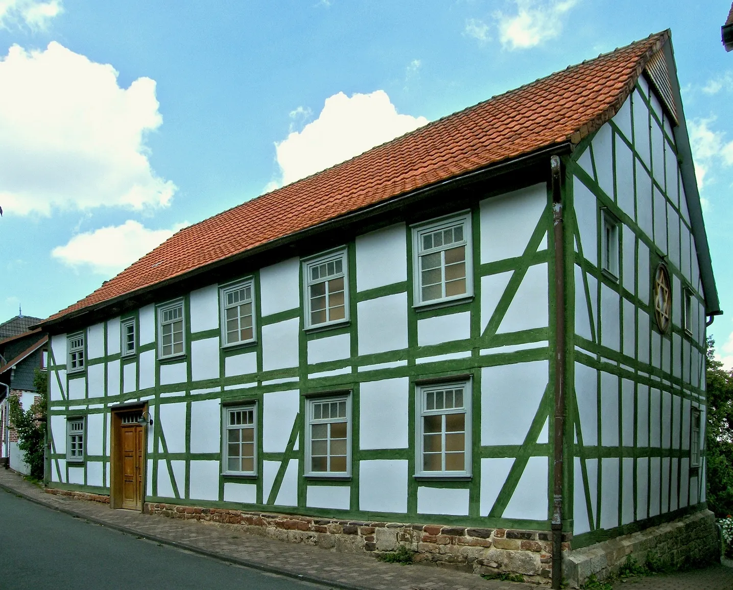
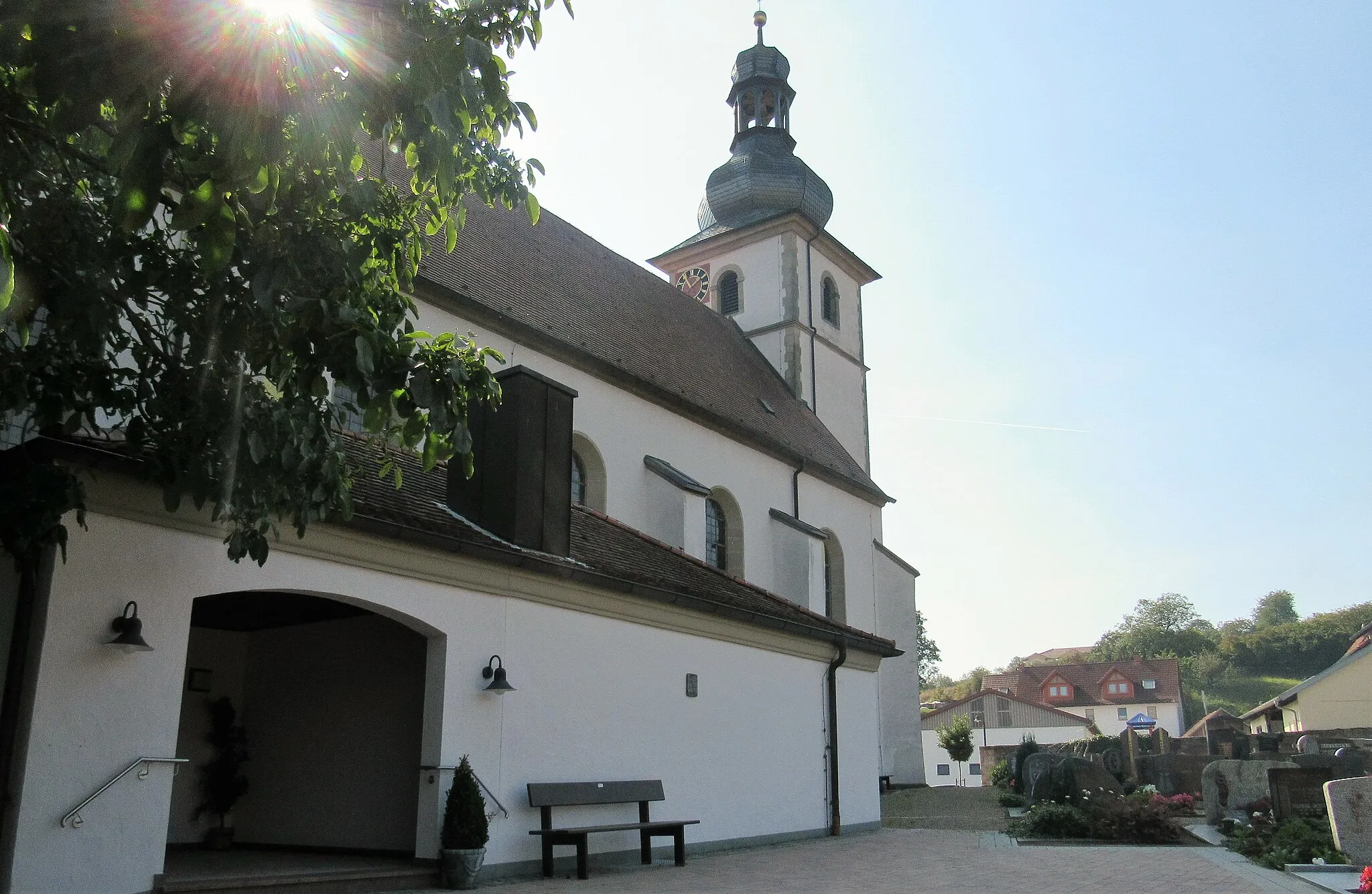
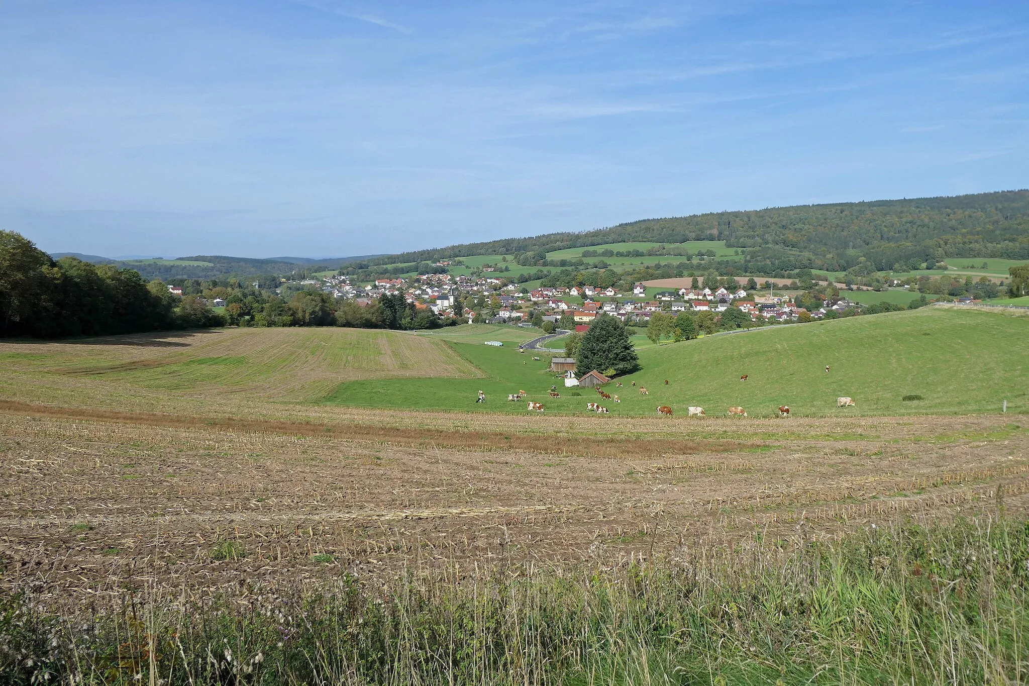
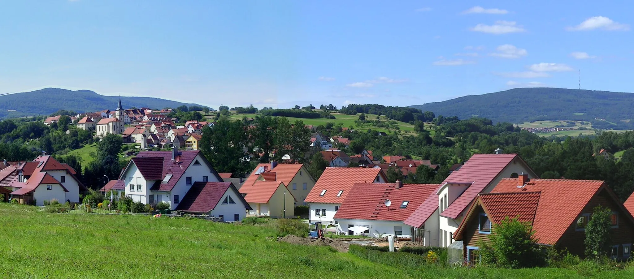
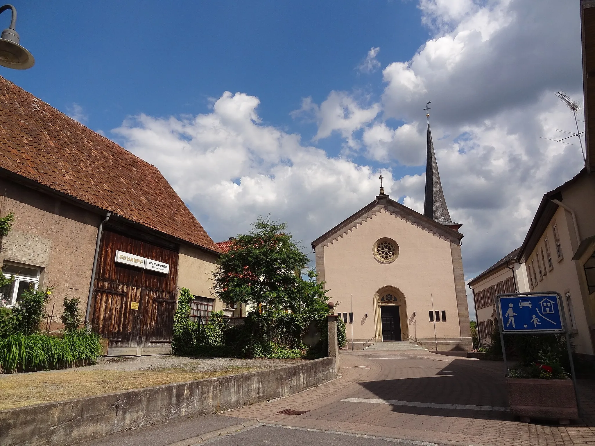
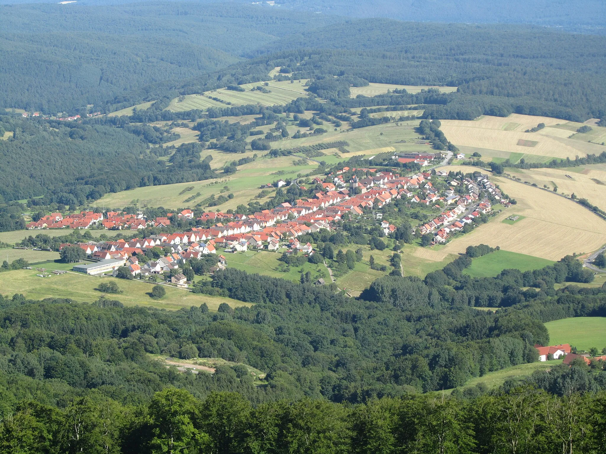
Oberleichtersbach is a locality in Unterfranken, Germany. It offers a mix of road and gravel cycling routes, making it suitable for cyclists of all levels. The area is characterized by its rolling countryside and idyllic villages, providing cyclists with a scenic and peaceful riding experience. Oberleichtersbach is situated near the Bayerischen Rhön, a popular cycling destination known for its stunning landscapes. Cyclists can also visit the historic town of Bad Kissingen located nearby. With its peaceful surroundings and pleasant cycling routes, Oberleichtersbach is a great destination for cyclists.
Escape the hustle and bustle and immerse yourself in the idyllic rural landscapes on this gravel ride near Oberleichtersbach.
Enjoy a 66-kilometer gravel ride showcasing the beauty of Unterfranken. With an ascent of 1336 meters, this route offers panoramic countryside views and showcases charming rural villages. Suitable for intermediate cyclists seeking an immersive nature experience.
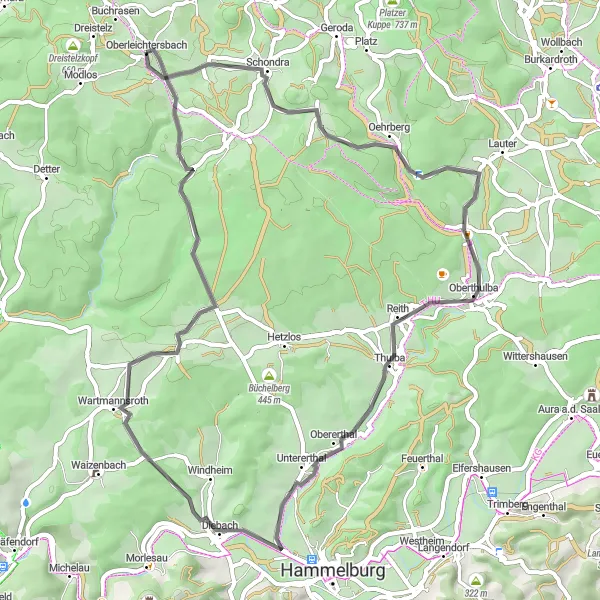
Embark on a road cycling adventure to discover the hidden gems of Unterfranken
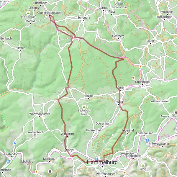
Uncover the hidden treasures of Unterfranken on this exhilarating road cycling route. Covering 56 kilometers of stunning landscapes and featuring an ascent of 739 meters, this route is ideal for riders seeking a mixture of adrenaline-pumping challenges and serene natural beauty. Highlights of the route include Lindenstumpf, Oberthulba, and Untererthal, where cyclists can immerse themselves in the local culture and admire unique architectural marvels. Whether you are a history buff, a nature lover, or simply searching for an exciting cycling journey, this route promises to exceed expectations.
Embark on a road cycling expedition through picturesque Unterfranken, taking in the region's stunning highlights.
Discover the beauty of Unterfranken on this 87-kilometer road cycling expedition. With a challenging ascent of 1354 meters, this route offers breathtaking views and iconic landmarks. Suitable for experienced road cyclists looking for a challenging ride.
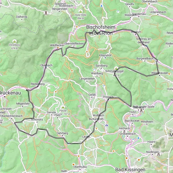
Embark on a scenic road cycling adventure through the stunning landscapes of Unterfranken
Discover the beauty of Unterfranken on this picturesque road cycling route. With a distance of 71 kilometers and an ascent of 1358 meters, this route guarantees breathtaking scenery and a memorable journey. Highlights along the way include Hagküppel, Zeitlofs, and Sandberg, where cyclists can enjoy panoramic views and immerse themselves in the tranquility of nature. The route also passes through historical landmarks such as Burg Brandenstein and Bad Brückenau, adding a touch of culture to the experience. Whether you're a seasoned road cyclist or a nature lover seeking a scenic adventure, this route has something for everyone.
Embark on an adventurous road cycling journey through the captivating landscapes of Unterfranken
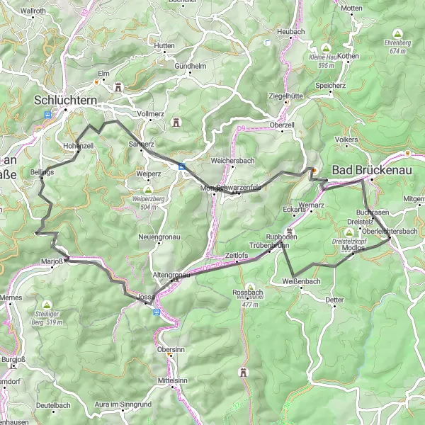
Experience the thrill of road cycling through Unterfranken's mesmerizing landscapes on this adventurous route. With an ascent of 1169 meters and a distance of 66 kilometers, this route promises to challenge even the most seasoned cyclists while providing mesmerizing views along the way. Highlights of the route include Hagküppel, Zeitlofs, and Bad Brückenau, where riders can pause to indulge in the local beauty and immerse themselves in the picturesque surroundings. The route also offers glimpses of historical landmarks such as Grauberg and Burg Schwarzenfels, adding cultural richness to the journey. Get ready for an unforgettable road cycling adventure in Unterfranken.
Gravel Adventure in Unterfranken
Experience the beauty of Unterfranken while cycling on gravel roads
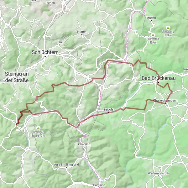
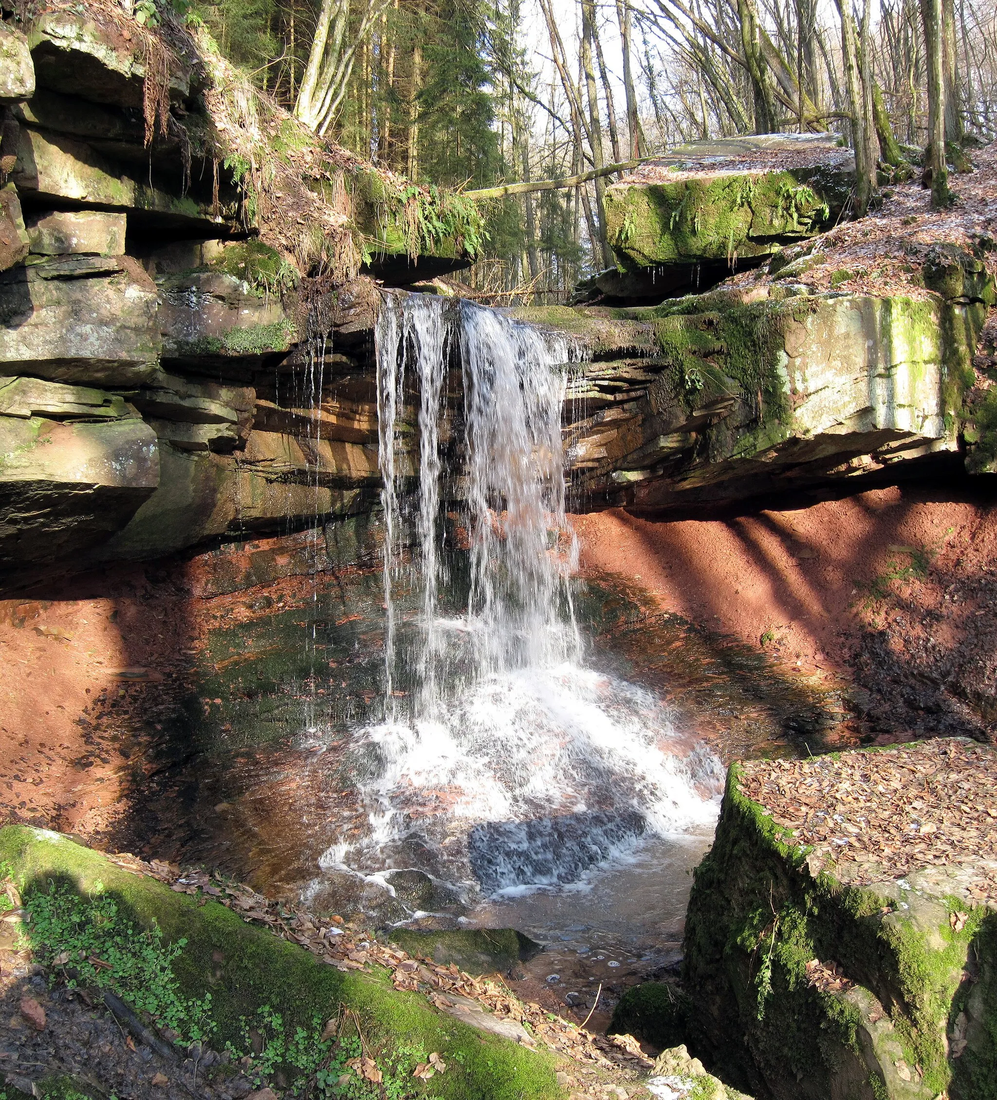
Embark on a gravel adventure in Unterfranken and explore the picturesque landscapes, charming villages, and historic sites of the region. The route offers a mix of challenging terrain and scenic beauty, making it an ideal choice for cyclists seeking an off-the-beaten-path experience. With a total ascent of 946 meters and a distance of 53 kilometers, this route will test your endurance and reward you with breathtaking views along the way. Whether you're a gravel enthusiast or simply looking for a new cycling challenge, this route promises an unforgettable experience.
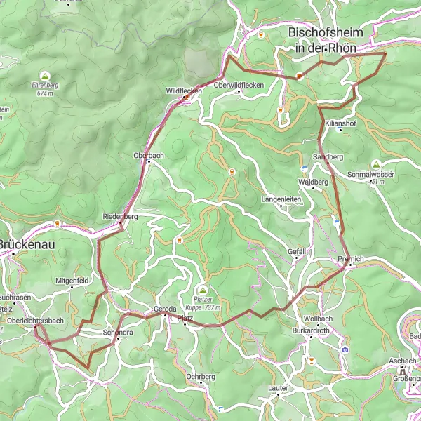
Embark on an epic grand tour through Unterfranken, taking on challenging climbs and discovering famous landmarks.
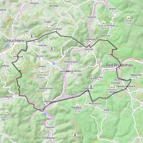
Embark on a 143-kilometer road cycling epic starting from Oberleichtersbach in Unterfranken, Germany. With a demanding ascent of 1608 meters, this route offers breathtaking views and takes you past iconic landmarks and scenic spots. Suitable for experienced cyclists seeking a legendary adventure.
Leichtersbach Gravel Adventure
Discover the beautiful gravel paths near Leichtersbach and enjoy stunning views along the way.
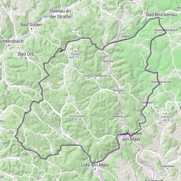
Embark on an 82-kilometer gravel adventure starting from Oberleichtersbach in Unterfranken, Germany. This route offers a challenging ascent of 1583 meters and showcases the scenic countryside of the region. Suitable for experienced cyclists looking for a thrilling off-road experience.
Discover the rugged beauty of Unterfranken on this challenging gravel adventure
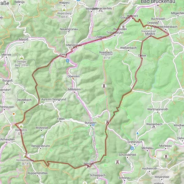
Embark on a thrilling gravel adventure through the picturesque region of Unterfranken in Germany. This route promises breathtaking views, challenging terrain, and a sense of being off the beaten path. Cyclists will traverse 79 kilometers and overcome 1441 meters of ascent, making it a worthwhile challenge for experienced riders. The route showcases highlights such as Dreistelzkopf, Schlotteküppel, and Totenkopf, known for their unique landscapes and stunning vistas. Be prepared to test your skills and experience the untamed beauty of Unterfranken.
Unterfranken Gravel Loop
Enjoy the natural beauty of Unterfranken on this adventurous gravel loop
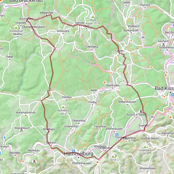
Experience the scenic wonders of Unterfranken on this exciting gravel loop. Covering a distance of 73 kilometers with an ascent of 1027 meters, this route is perfect for nature enthusiasts and experienced gravel riders. The route showcases highlights such as Mettermich, Geroda, and Oberleichtersbach, where you can immerse yourself in the tranquility of the countryside and discover hidden gems along the way. With its diverse terrain and picturesque landscapes, this gravel loop promises an unforgettable journey through the heart of Unterfranken.
Cycling routes nearby:

Nearby regions: