Gravel Adventure in Unterfranken
A gravel cycling route starting from Oberleichtersbach
Experience the beauty of Unterfranken while cycling on gravel roads
Map
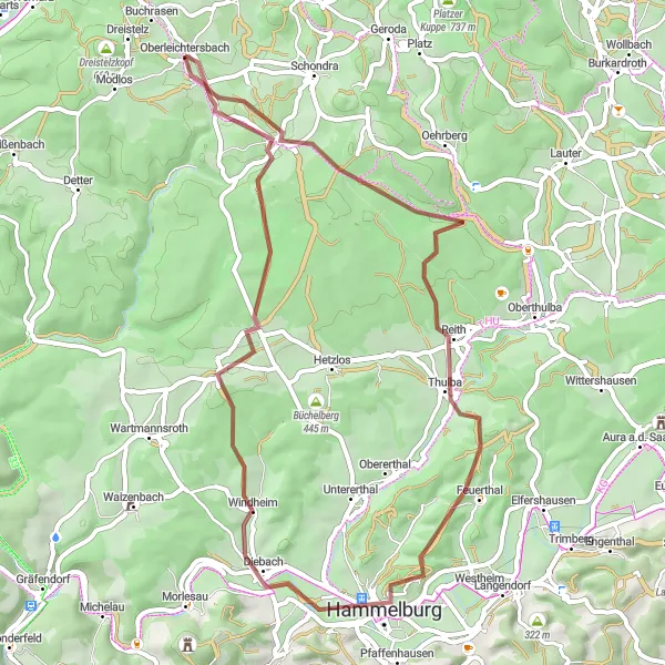
Embark on a gravel adventure in Unterfranken and explore the picturesque landscapes, charming villages, and historic sites of the region. The route offers a mix of challenging terrain and scenic beauty, making it an ideal choice for cyclists seeking an off-the-beaten-path experience. With a total ascent of 946 meters and a distance of 53 kilometers, this route will test your endurance and reward you with breathtaking views along the way. Whether you're a gravel enthusiast or simply looking for a new cycling challenge, this route promises an unforgettable experience.
gravel
53 km
946 m
Tough
Route profile
Highlights on the route
0 km
0 km
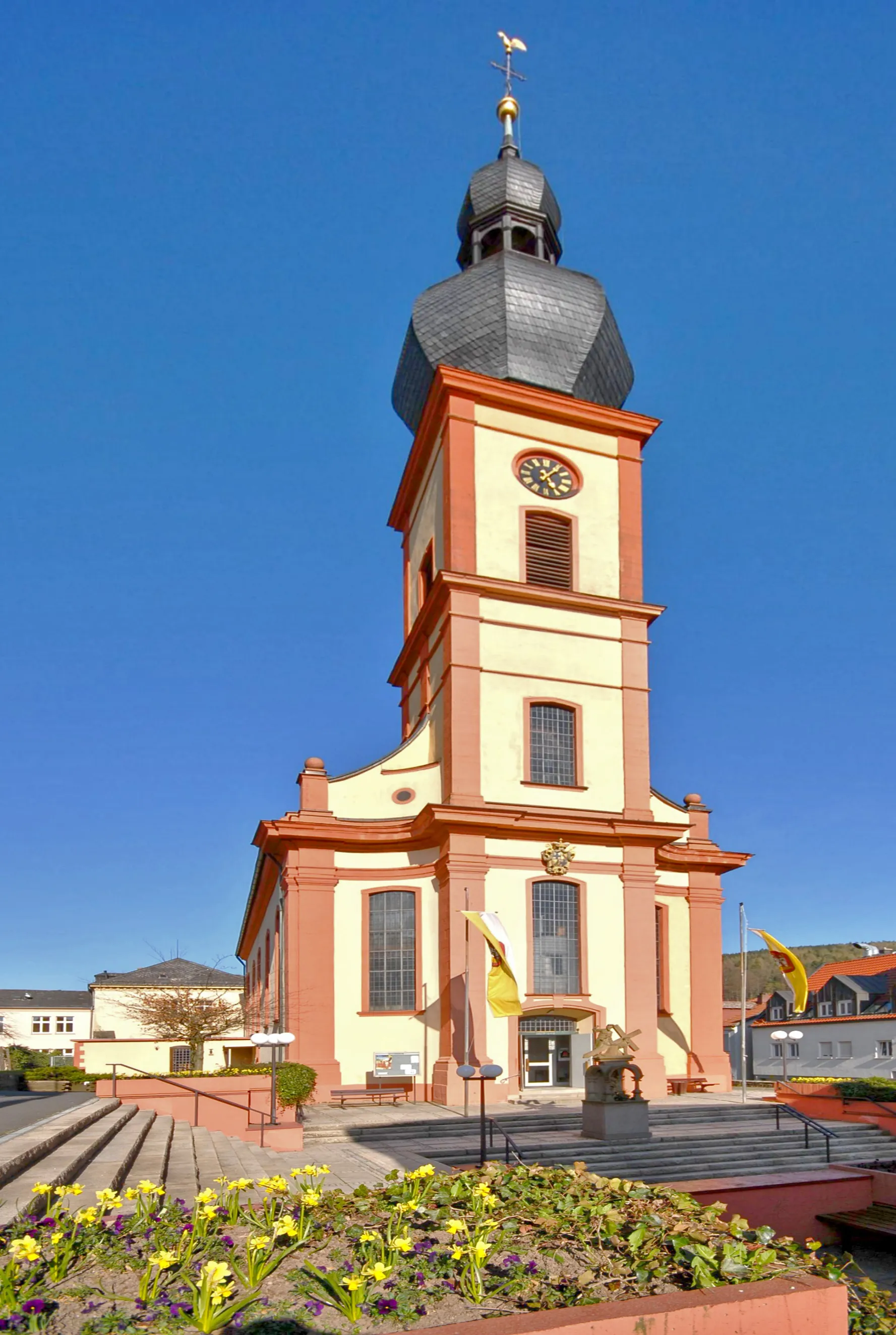
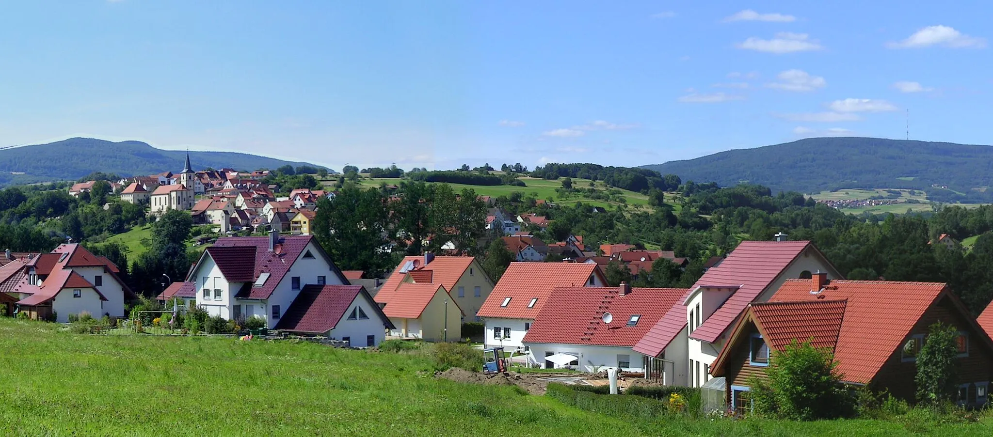
Start: Oberleichtersbach Village centerOberleichtersbach: Cycle through the picturesque landscapes of Oberleichtersbach.
Oberleichtersbach is a locality in Unterfranken, Germany. It offers a mix of road and gravel cycling routes, making it suitable for cyclists of all levels. The area is characterized by its rolling countryside and idyllic villages, providing cyclists with a scenic and peaceful riding experience. Oberleichtersbach is situated near the Bayerischen Rhön, a popular cycling destination known for its stunning landscapes. Cyclists can also visit the historic town of Bad Kissingen located nearby. With its peaceful surroundings and pleasant cycling routes, Oberleichtersbach is a great destination for cyclists.0 km
0 km
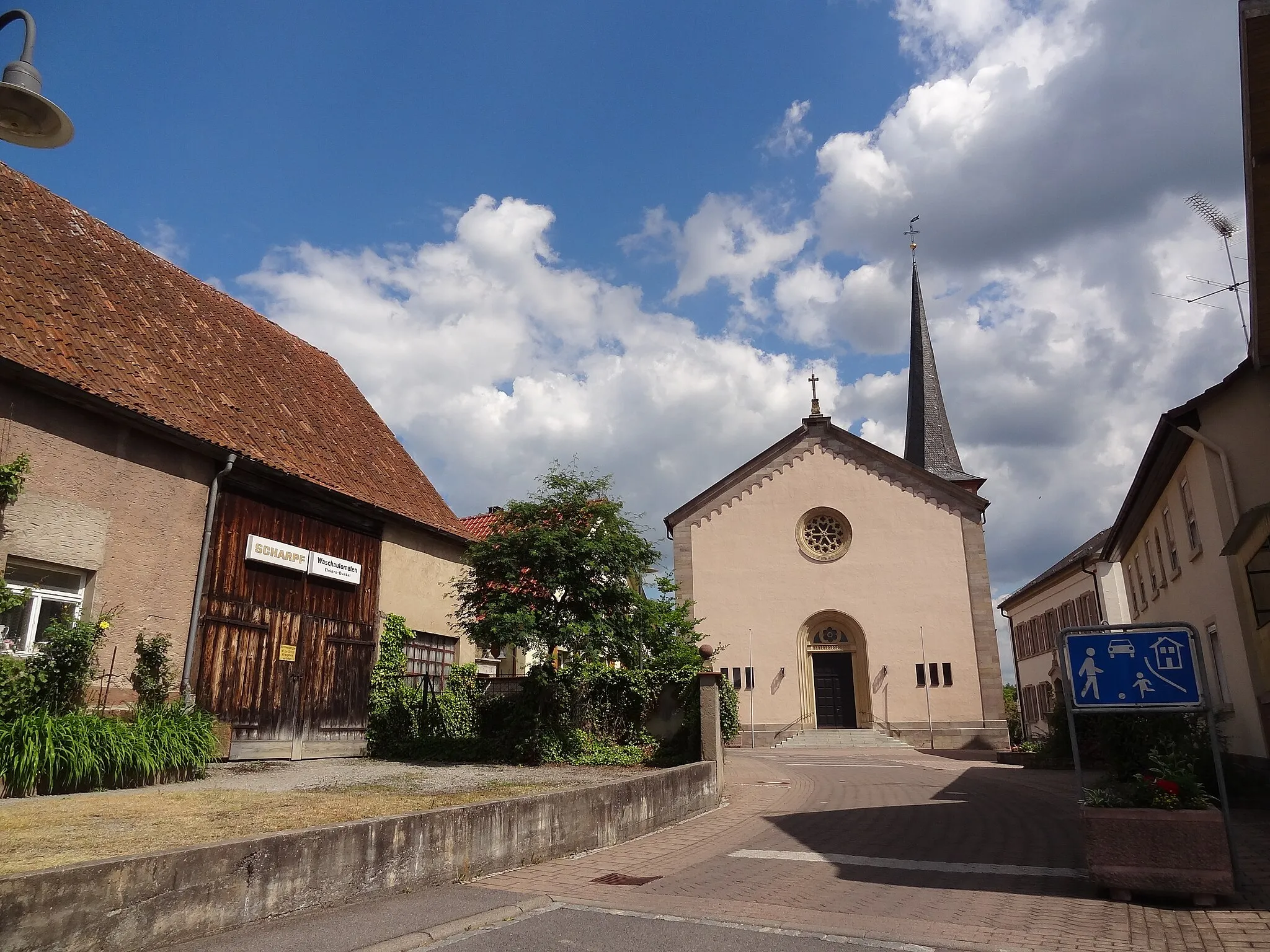
OberleichtersbachVillageVisit Oberleichtersbach, a charming village known for its traditional half-timbered houses and rich history.
16 km
16 km
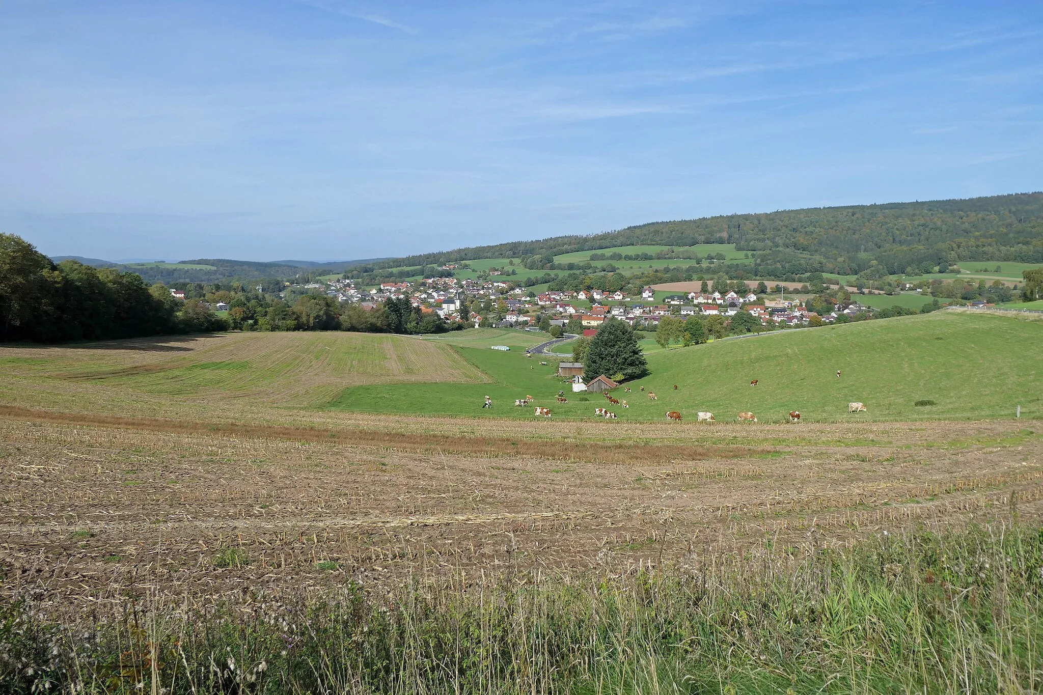
ReithVillagePass through Reith, a small village surrounded by forests and meadows, offering a peaceful and scenic atmosphere.
24 km
24 km
Wiedenberg341 mPeakDiscover Wiedenberg, a hidden gem in the region with its historic castle and panoramic views of the surrounding countryside.
28 km
28 km
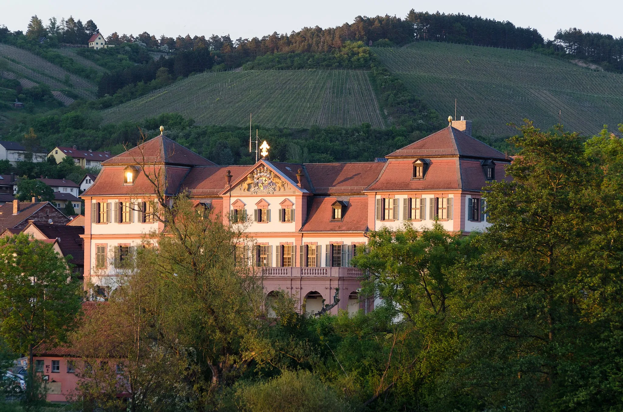
HammelburgTownMake a stop in Hammelburg, a historic town renowned for its vineyards and the oldest wine cooperative in Franconia.
40 km
40 km
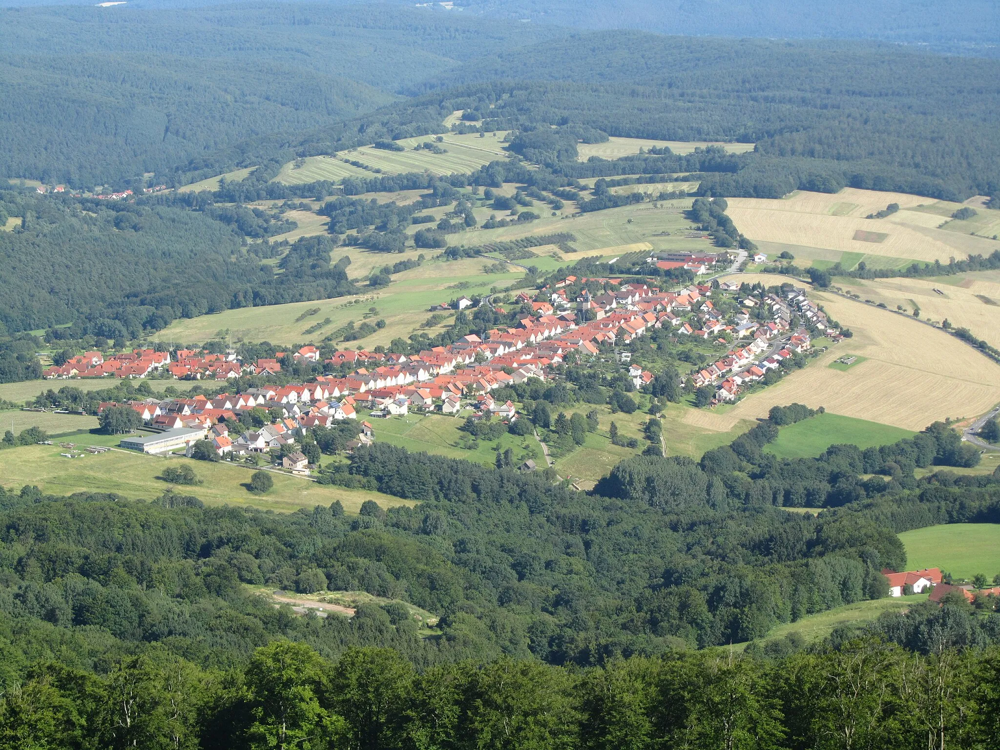
SchwärzelbachVillageExplore Schwärzelbach, a charming village known for its traditional Franconian architecture and beautiful landscapes.
49 km
49 km
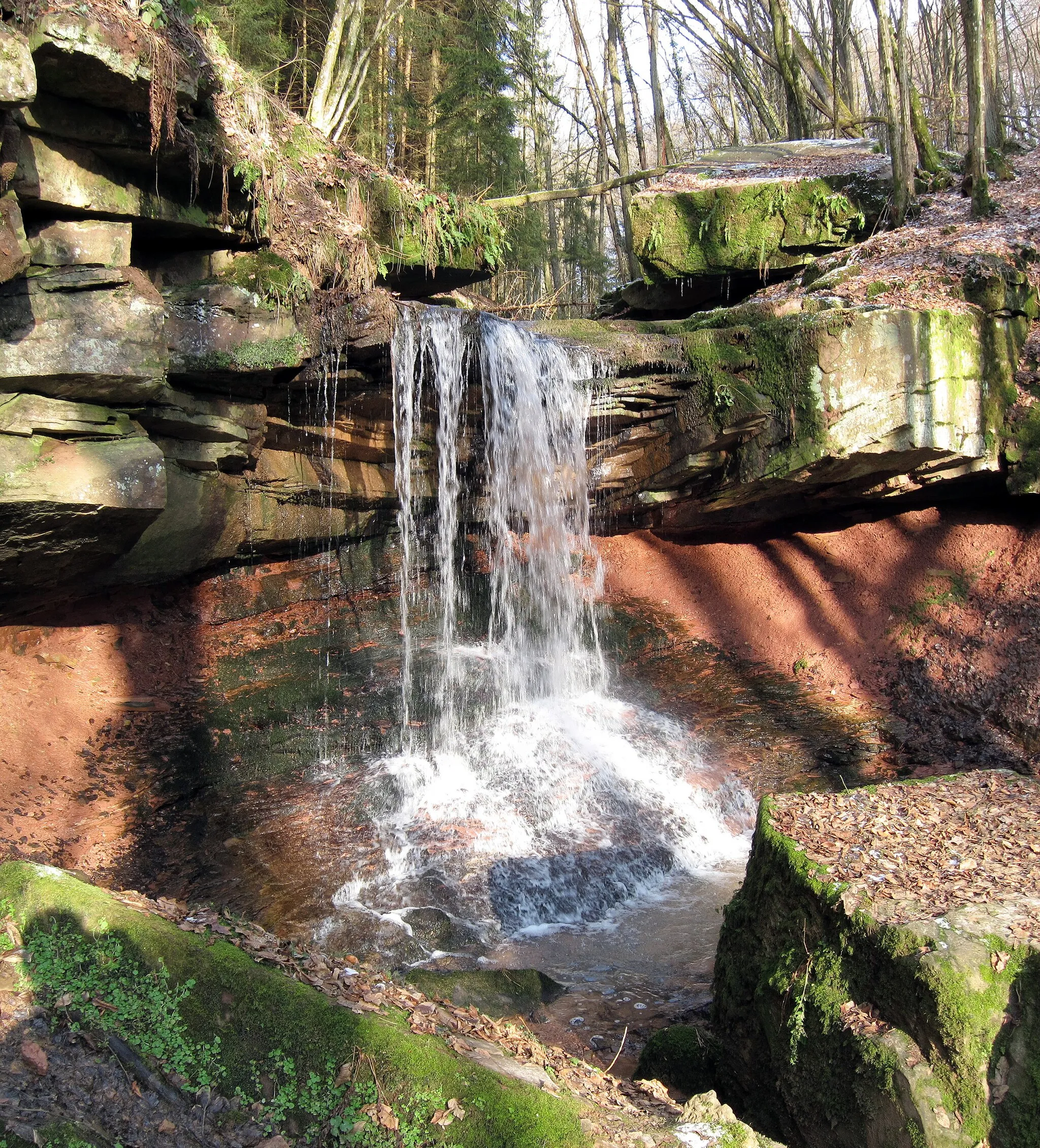
ObergeiersnestHamletReach Obergeiersnest, a picturesque viewpoint offering panoramic vistas of the surrounding valleys and hills.
53 km
53 km
Finish: Oberleichtersbach Village centerOberleichtersbach: Cycle through the picturesque landscapes of Oberleichtersbach.
Cycling routes from Oberleichtersbach:
Leichtersbach Gravel Adventure Unterfranken Gravel Loop Gravel Adventure in Unterfranken Idyllic Gravel Ride: Rural Landscapes Scenic Road Cycling in Unterfranken Road Cycling Expedition: Unterfranken Highlights Gravel Adventure in Unterfranken Unterfranken Epic Grand Tour Unterfranken Road Cycling Adventure Unterfranken Road Exploration
Cycling routes nearby: