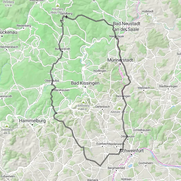
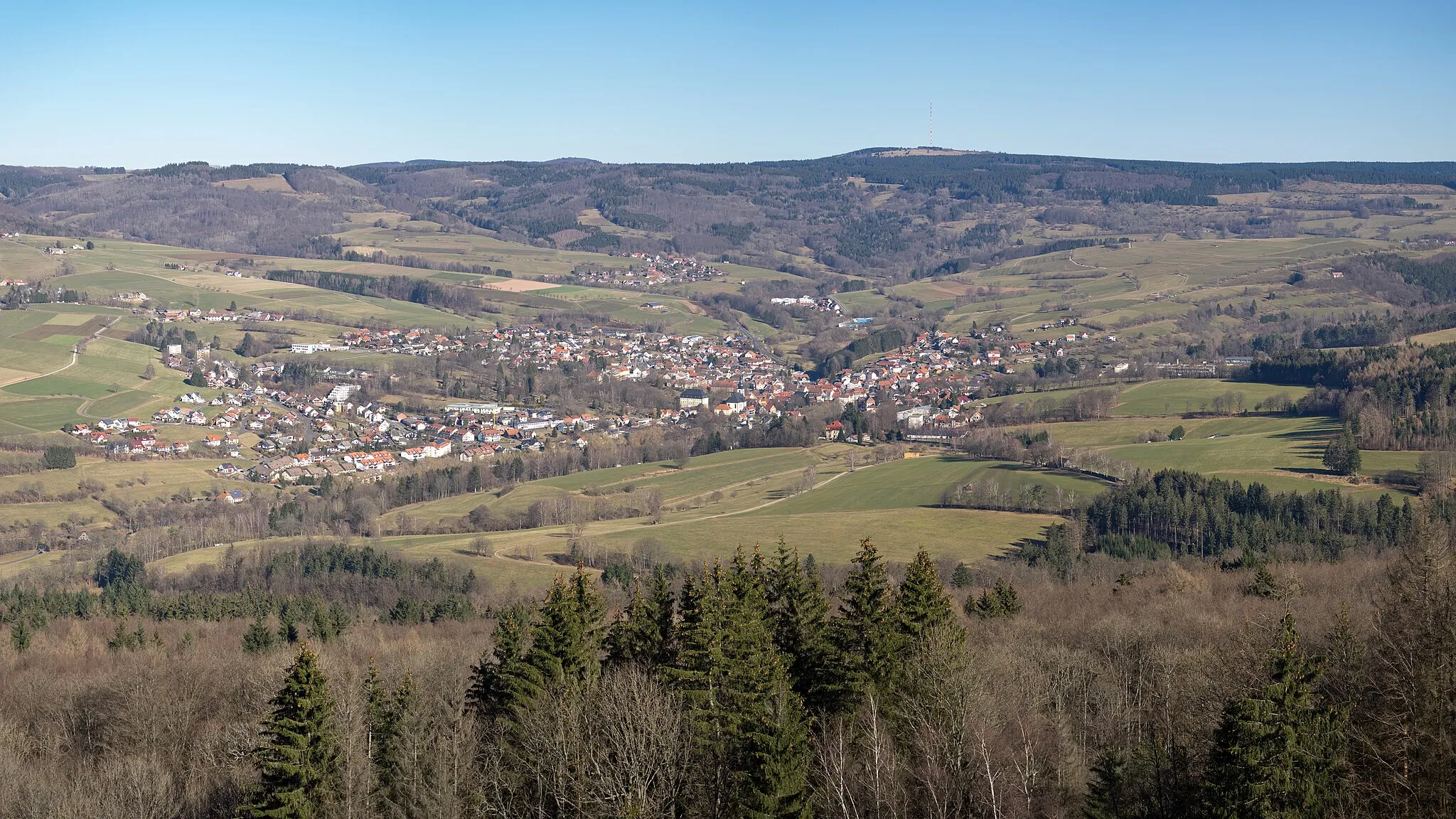
Road cyclist's paradise in Unterfranken
Cycling routes from Sandberg
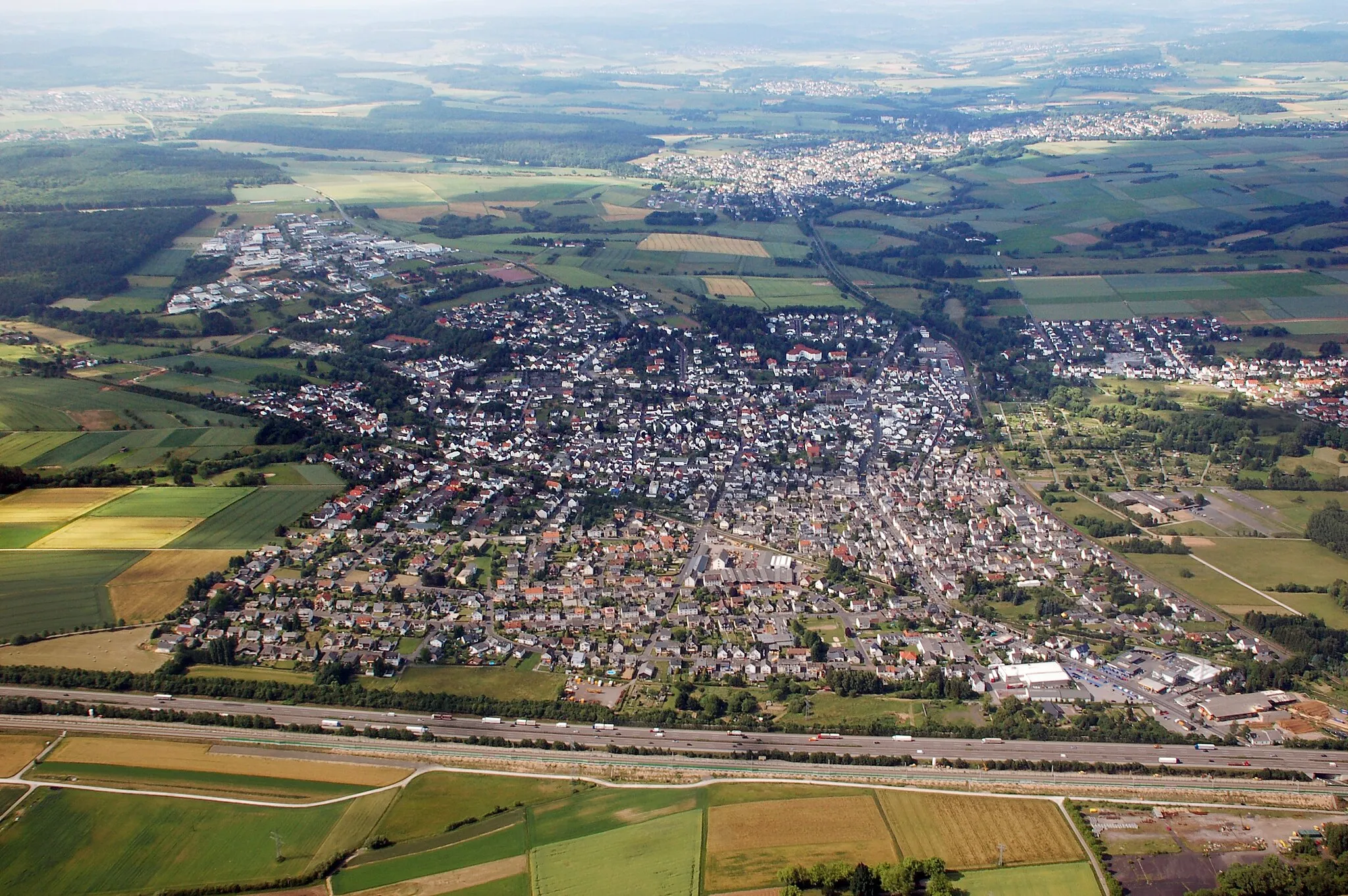
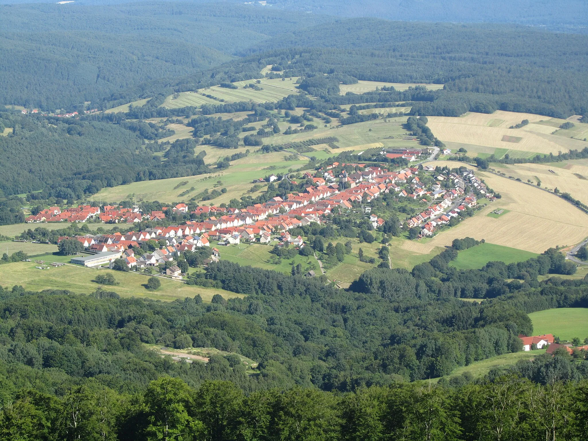
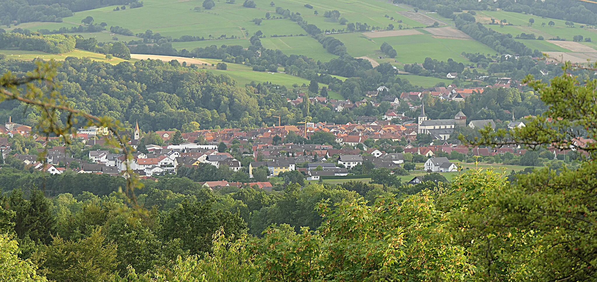
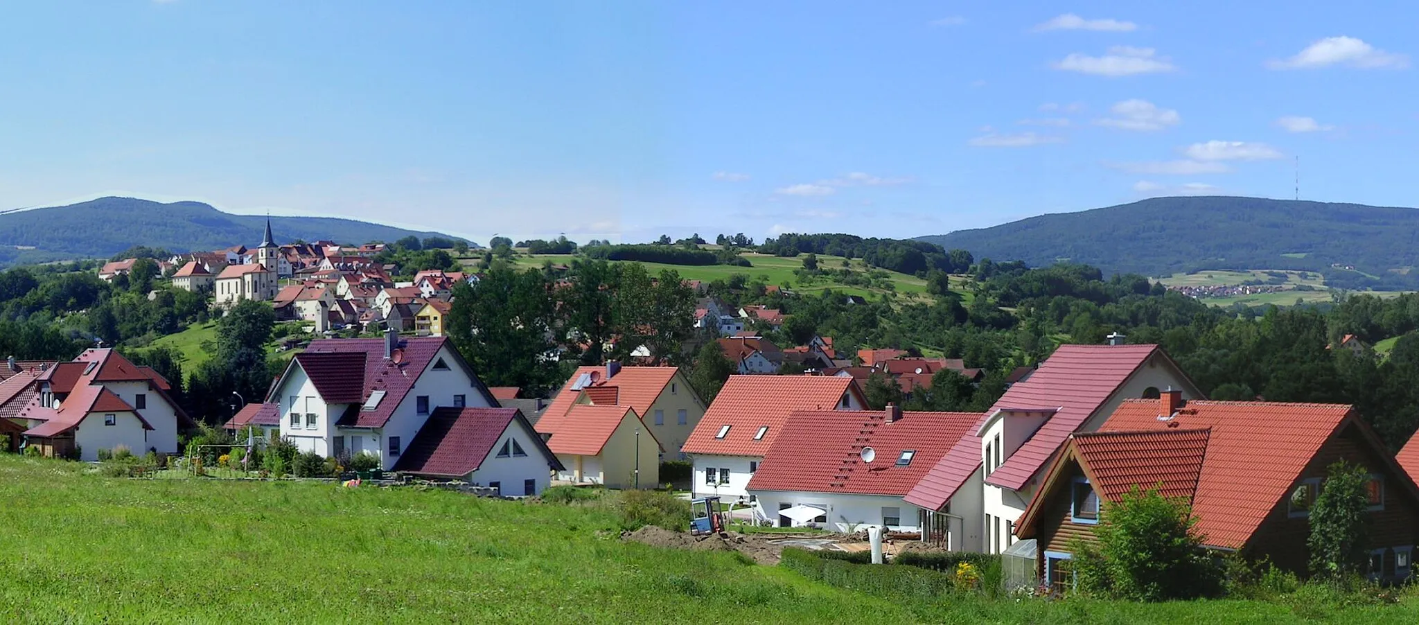
Sandberg is a locality in Unterfranken, Germany. It is a remarkable destination for road cycling enthusiasts, offering a combination of challenging climbs and scenic routes. The region is known for its rolling hills and picturesque landscapes. Road cyclists can test their skills on climbs like Ziegelberg and Kleinrinderfeld. Gravel cyclists will also find plenty of opportunities to explore the surrounding countryside. Sandberg is a hidden gem for cyclists looking for both a challenge and beautiful views.
Embark on a scenic road cycling journey through the picturesque valleys of Unterfranken.
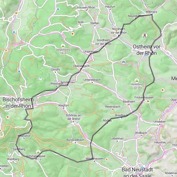
Experience the natural beauty of Unterfranken on this picturesque road cycling route. With a ascent of 1033 meters and a distance of 77 kilometers, this route is suitable for cyclists of all levels. Along the way, you will encounter highlights such as the historic Kilianshof, the stunning viewpoints of Kilianskopf, and the charming village of Unterelsbach. This route is rated 3 out of 5 in terms of difficulty and epicness.
Rhön Adventures
A thrilling gravel route through the breathtaking landscapes of Rhön
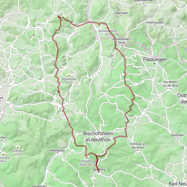
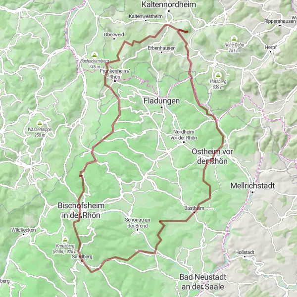
Rhön Adventures is a challenging gravel route that takes you through the majestic landscapes of Rhön. With a total distance of 84 kilometers and an ascent of 2001 meters, this route promises an exhilarating cycling experience. The route offers a variety of highlights along the way, including the famous Kreuzberg in Rhön, Oberweißenbrunn, Milseburg, Danzwiesen, Hilders, Grabenberg, Gangolfsberg, Ginolfs, Kilianskopf, and Kilianshof. These highlights are worth stopping by for their natural beauty and historical significance. Rhön Adventures is suitable for well-trained amateur cyclists who are looking for an epic challenge.
Schönau Adventure
Unleash your adventurous side on this scenic gravel route
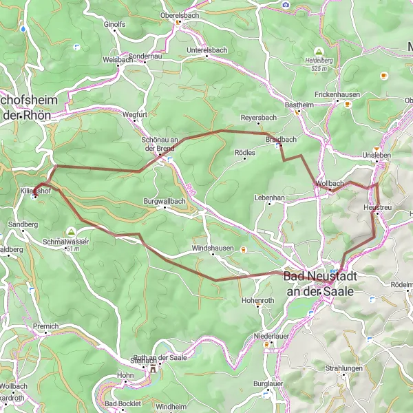
The Schönau Adventure is a 46km long gravel route that takes you through diverse landscapes and charming villages. The route includes a moderate ascent of 621m, making it suitable for intermediate-level cyclists. Discover the beauty of the Brend Valley and enjoy the peaceful atmosphere of Schönau an der Brend. Visit the highest point of the route, the Reyersbacher Höhe, and take in the breathtaking views. The Bad Neustadt an der Saale is another highlight of the route, offering a perfect spot for a break and some local cuisine.
Rhön Grand Tour
A legendary road cycling route through the Rhön Mountains
The Rhön Grand Tour is a 112km long road cycling route that takes you on an epic journey through the Rhön Mountains. This challenging route includes an ascent of 1721m, making it suitable for experienced cyclists seeking a true adventure. Start your ride at the Tannenkopf, the iconic symbol of the Rhön region, and enjoy panoramic views of the surrounding mountains. Explore the historic town of Bad Bocklet and unwind in the soothing waters of the local thermal baths. The route also passes the Balustrade, a famous cycling spot known for its stunning views and adrenaline-pumping downhill sections. Discover hidden gems such as the Marienberg and Wasserlosen, and enjoy a well-deserved break in the quaint village of Fuchsstadt.
Gefäll Circuit
A scenic gravel route with stunning views
The Gefäll Circuit is a 38km long gravel route that offers breathtaking views of the surrounding Unterfranken landscape. It is suitable for experienced cyclists who enjoy off-road adventures. The route includes a challenging ascent of 938m and is perfect for those seeking a thrilling cycling experience. Enjoy the picturesque villages and nature along the way.
Experience the scenic beauty of the Rhön region on this challenging gravel route.
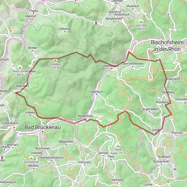
This round-trip route starting near Sandberg takes you through the stunning Rhön region in Unterfranken, Germany. With a total ascent of 1,766 meters and a distance of 96 kilometers, it is a challenging ride that offers breathtaking views and a variety of highlights along the way. The route is suitable for gravel biking and is perfect for adventure seekers and nature enthusiasts. Prepare to be amazed by the picturesque landscapes and the charming villages that you will encounter on this unforgettable cycling journey.
Rhön Challenge
An epic road route through the scenic Rhön region
The Rhön Challenge is a 65km long road route that takes you through the scenic Rhön region, known for its picturesque landscapes and charming villages. This challenging route includes an ascent of 1114m, making it suitable for experienced cyclists. Explore the historic Kilianshof and enjoy the natural beauty of the Zickzackküppel. Oberelsbach is another highlight along the route, offering stunning views and a charming atmosphere. The Tannenkopf is the highest point of the route, providing panoramic views of the Rhön Mountains. Experience the beauty of Ostheim vor der Rhön and the tranquility of Schmalwasser.
Discover the spectacular scenery of the Rhön region on this adventurous gravel route.
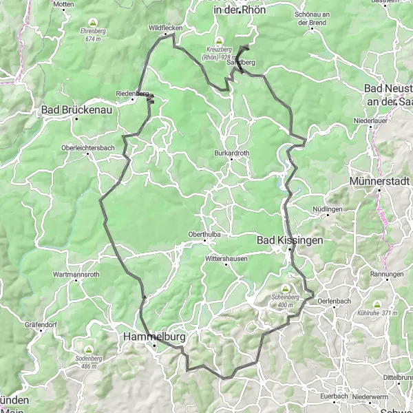
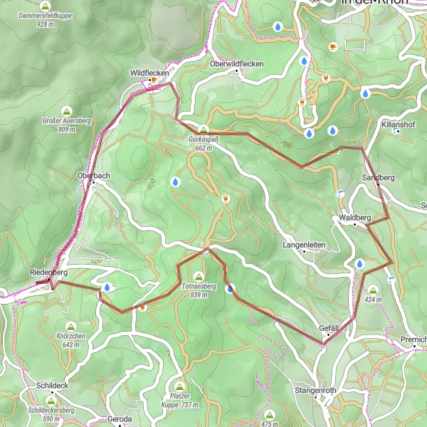
The Rhön Gravel Adventure is a challenging route that takes you through the beautiful landscapes of the Rhön region. With a total ascent of 1782 meters and a distance of 60 kilometers, this route is perfect for experienced gravel riders. Along the way, you will encounter highlights such as the historic town of Gefäll, the picturesque village of Riedenberg, and the breathtaking views from the Kreuzbergschanze. This route is rated 4 out of 5 in terms of difficulty and epicness.
Conquer the legendary hills of Hohenroth on this challenging road cycling route.
Embark on a challenging road cycling adventure through the legendary hills of Hohenroth. With a total ascent of 1543 meters and a distance of 110 kilometers, this route is suitable for experienced cyclists seeking a thrilling ride. Along the way, you will encounter highlights such as the breathtaking viewpoints of Tannenkopf, the picturesque village of Hohenroth, and the historic town of Rannungen. This route is rated 4 out of 5 in terms of difficulty and epicness.

Tackle the ultimate Rhön challenge on this demanding road cycling route.
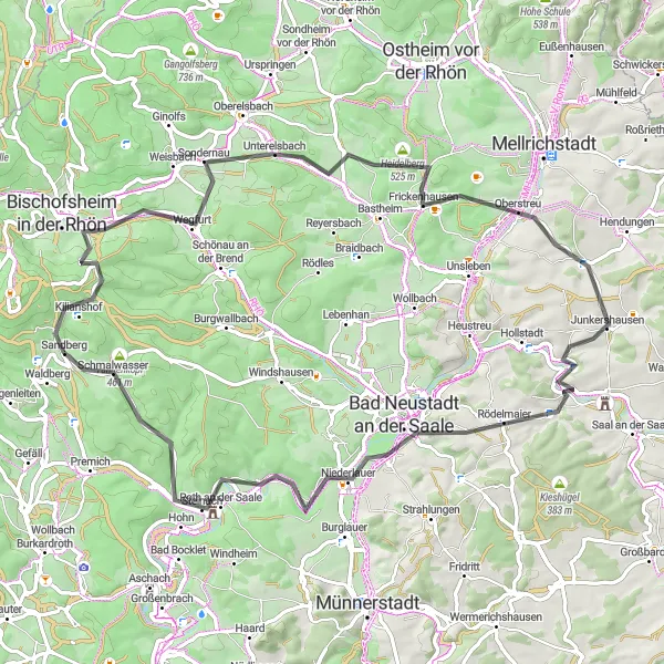
Embark on the ultimate road cycling challenge through the diverse landscapes of the Rhön region. With a total ascent of 1928 meters and a distance of 140 kilometers, this route is designed for seasoned cyclists seeking a demanding adventure. Along your journey, you will encounter highlights such as the medieval town of Bischofsheim in der Rhön, the striking Ottilienstein rock formation, and the picturesque village of Roßdorf. This route is rated 5 out of 5 in terms of difficulty and epicness.
Cycling routes nearby:


Nearby regions: