The Ultimate Rhön Challenge
A road cycling route starting from Sandberg
Tackle the ultimate Rhön challenge on this demanding road cycling route.
Map

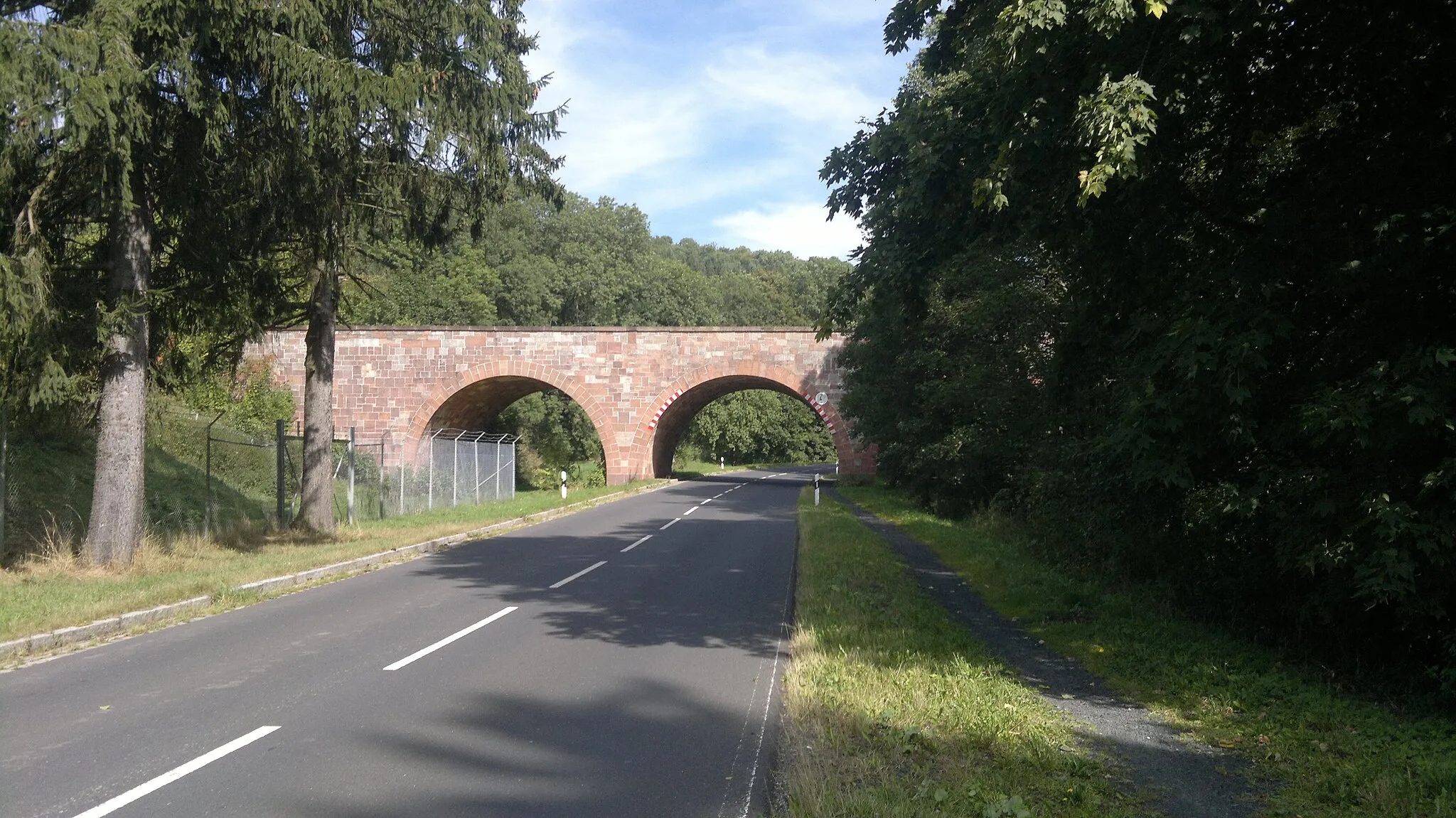
Embark on the ultimate road cycling challenge through the diverse landscapes of the Rhön region. With a total ascent of 1928 meters and a distance of 140 kilometers, this route is designed for seasoned cyclists seeking a demanding adventure. Along your journey, you will encounter highlights such as the medieval town of Bischofsheim in der Rhön, the striking Ottilienstein rock formation, and the picturesque village of Roßdorf. This route is rated 5 out of 5 in terms of difficulty and epicness.
road
140 km
1928 m
Savage
Route profile
Highlights on the route
0 km
0 km
Start: Sandberg Village centerSandberg: Road cyclist's paradise in Unterfranken
Sandberg is a locality in Unterfranken, Germany. It is a remarkable destination for road cycling enthusiasts, offering a combination of challenging climbs and scenic routes. The region is known for its rolling hills and picturesque landscapes. Road cyclists can test their skills on climbs like Ziegelberg and Kleinrinderfeld. Gravel cyclists will also find plenty of opportunities to explore the surrounding countryside. Sandberg is a hidden gem for cyclists looking for both a challenge and beautiful views.8 km
8 km
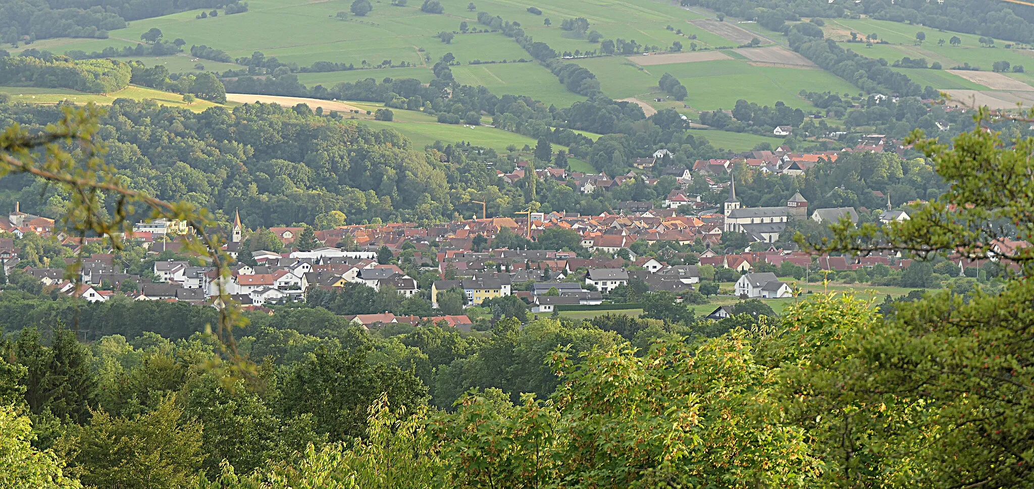
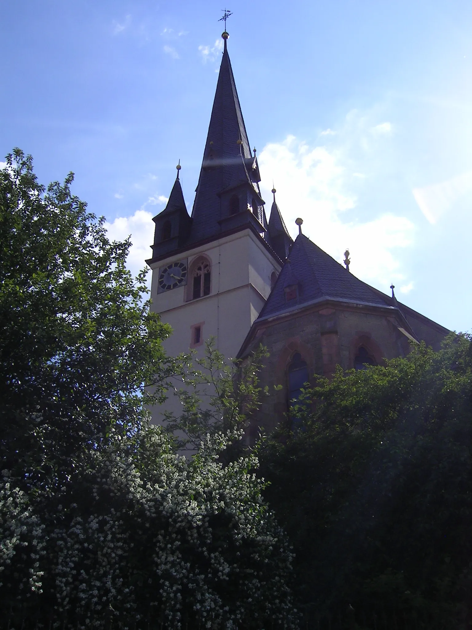
Bischofsheim in der RhönTownBischofsheim in der Rhön is a historic town with impressive medieval architecture and a charming old town area. Take a moment to explore the historic sites and enjoy the cultural heritage.
17 km
17 km
Ottilienstein846 mPeakOttilienstein is a distinctive rock formation that rises majestically from the Rhön landscape. Marvel at the natural wonder and enjoy the unique hiking trails surrounding it.
30 km
30 km
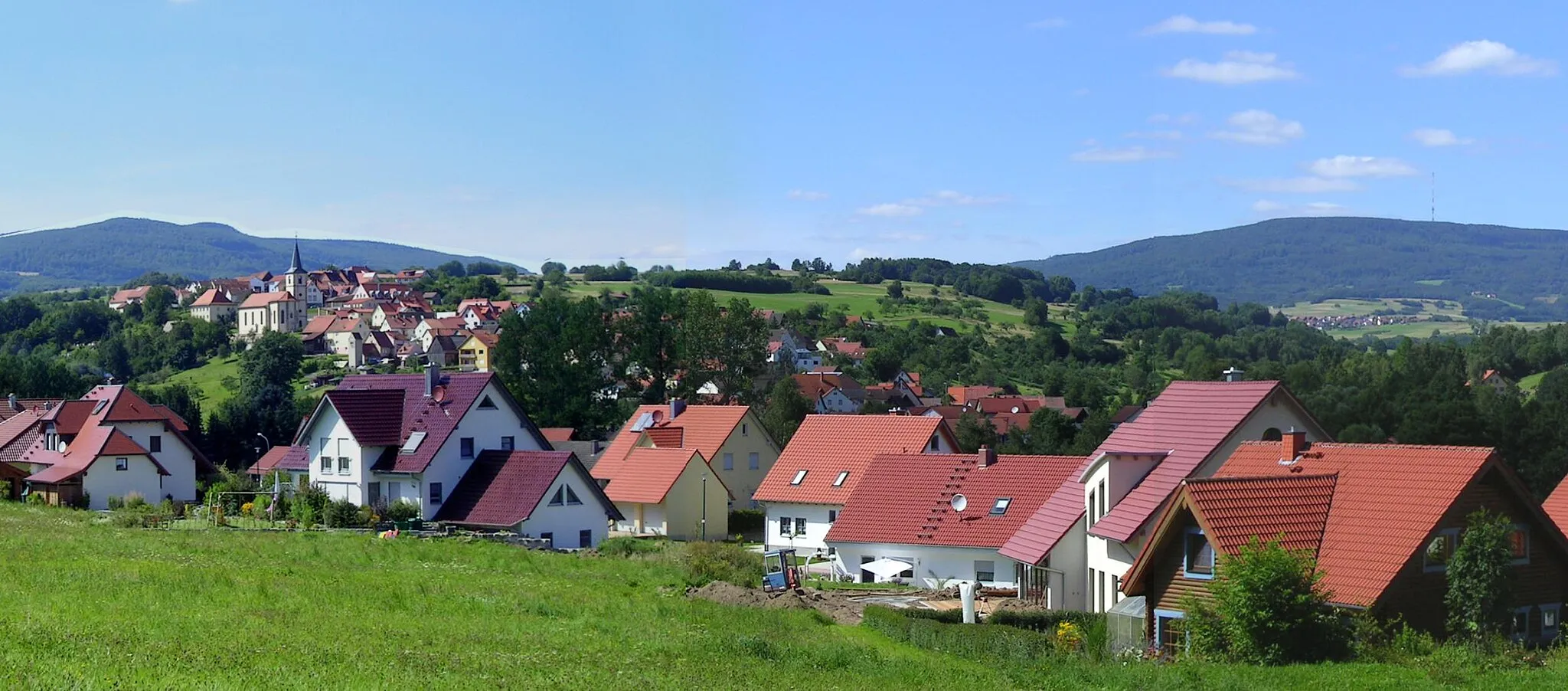
HildersVillageHilders is a charming village nestled in the Rhön Mountains. Visit the local museum and soak in the natural beauty of the surrounding wilderness.
46 km
46 km
Katzenstein612 mPeakKatzenstein is a fascinating rock formation with a rich geological history. Take a break and explore the hiking trails that lead to this impressive natural wonder.
47 km
47 km
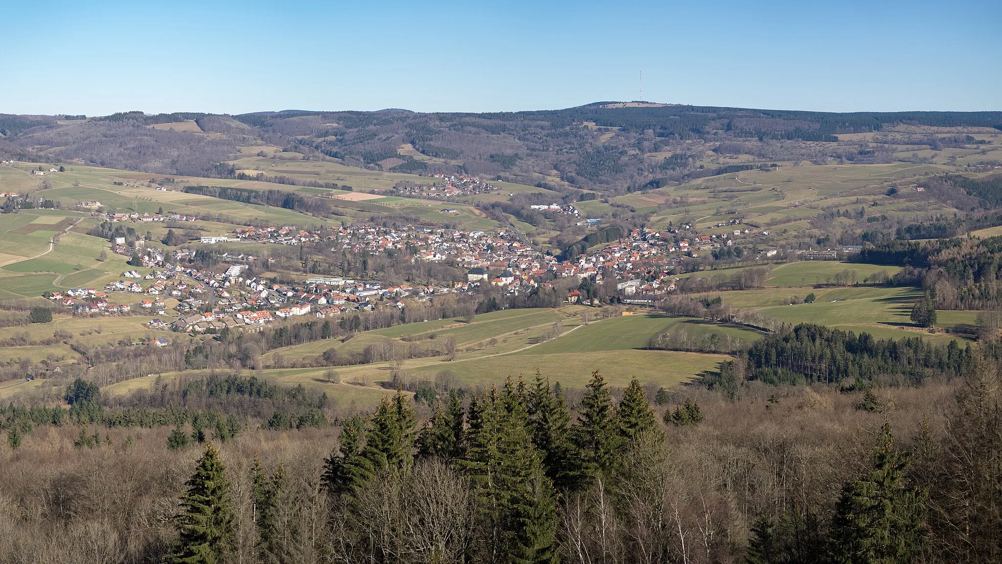
EmpfertshausenVillageEmpfertshausen is a picturesque village with traditional farms and breathtaking mountain vista. Immerse yourself in the serenity of the Rhön countryside.
62 km
62 km
RoßdorfVillageRoßdorf is a tranquil village surrounded by lush green landscapes. Enjoy the peacefulness and take a moment to connect with nature.
72 km
72 km
Krücke604 mPeakKrücke is a viewpoint that offers stunning panoramic views of the Rhön Mountains and valleys. Pause and appreciate the majestic beauty of the surrounding scenery.
84 km
84 km
StepfershausenVillageStepfershausen is a quaint village known for its charming architecture and friendly atmosphere. Stop by a local restaurant and taste traditional Rhön cuisine and local specialties.
85 km
85 km
Eichigkopf469 mPeakEichigkopf is a hill that provides breathtaking views of the Rhön region. Take a moment to admire the panoramic vistas and enjoy the tranquility of the surroundings.
101 km
101 km
Elmbacher Berg508 mPeakElmbacher Berg is a scenic hill with a variety of hiking trails and beautiful views. Explore the nature reserve and connect with the pristine Rhön wilderness.
109 km
109 km
MellrichstadtTownMellrichstadt is a historic town with well-preserved architecture and cultural heritage. Explore the charming streets and discover the hidden gems of this quaint destination.
123 km
123 km
Bad Neustadt an der SaaleTownBad Neustadt an der Saale is a vibrant town with a rich history and lively atmosphere. Visit the local market square and immerse yourself in the bustling energy of this thriving community.
137 km
137 km
Tannenkopf461 mPeakTannenkopf is a hill that provides breathtaking views of the Rhön Mountains. Enjoy the panoramic vistas and take in the natural beauty of the area.
138 km
138 km
SchmalwasserVillageSchmalwasser is a beautiful creek that winds its way through the Rhön landscape. Take a moment to relax by the waterfront and enjoy the peaceful ambiance.
140 km
140 km
Finish: Sandberg Village centerSandberg: Road cyclist's paradise in Unterfranken
Cycling routes from Sandberg:
Cycling routes nearby: