Schmalwasser Circular Gravel Route
A gravel cycling route starting from Sandberg
Explore the scenic beauty and challenging trails of Unterfranken.
Map
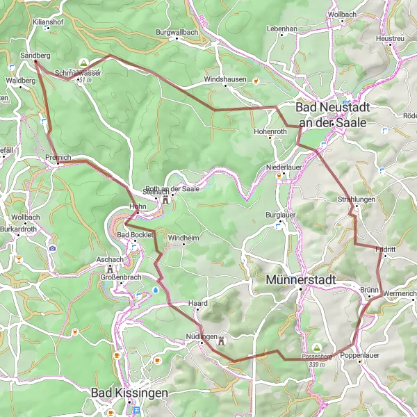
Set off on a thrilling adventure along the Schmalwasser Circular Gravel Route and experience the picturesque landscapes of Unterfranken. This 60 km route offers a variety of terrains and stunning views, making it a perfect choice for gravel enthusiasts. With a total ascent of 1109 meters, this route will push your limits and test your endurance. Brace yourself for the Tannenkopf climb, a highlight that rewards you with breathtaking panoramic vistas. The quaint towns of Strahlungen, Possenberg, Nüdlingen, Bad Bocklet, and Premich welcome you along the way, each offering their own unique charm and fascinating history.
gravel
60 km
1109 m
Tough
Route profile
Highlights on the route
0 km
0 km
Start: Sandberg Village centerSandberg: Road cyclist's paradise in Unterfranken
Sandberg is a locality in Unterfranken, Germany. It is a remarkable destination for road cycling enthusiasts, offering a combination of challenging climbs and scenic routes. The region is known for its rolling hills and picturesque landscapes. Road cyclists can test their skills on climbs like Ziegelberg and Kleinrinderfeld. Gravel cyclists will also find plenty of opportunities to explore the surrounding countryside. Sandberg is a hidden gem for cyclists looking for both a challenge and beautiful views.2 km
2 km
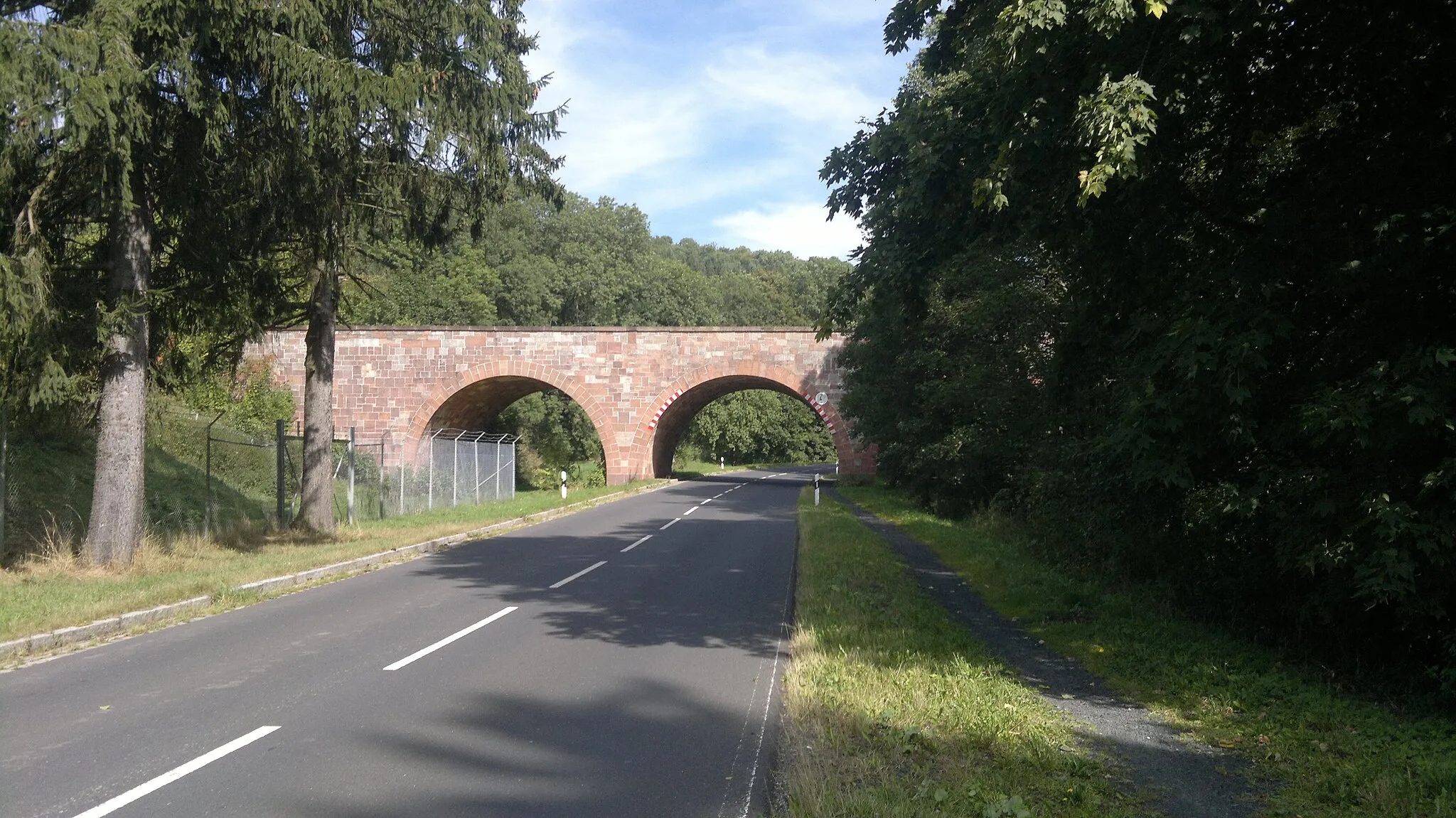
SchmalwasserVillageSchmalwasser (Narrow Water) is a scenic waterway that flows along part of the route. Take a break and indulge in the tranquility of the surrounding nature.
3 km
3 km
Tannenkopf461 mPeakTannenkopf, also known as Pine Hill, presents a challenging climb but rewards you with spectacular panoramic views of the surrounding landscapes.
21 km
21 km
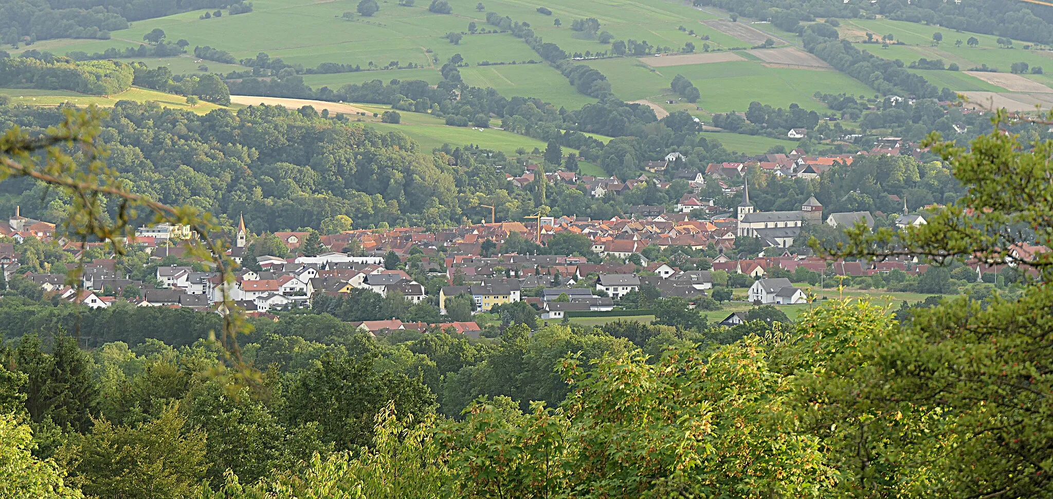
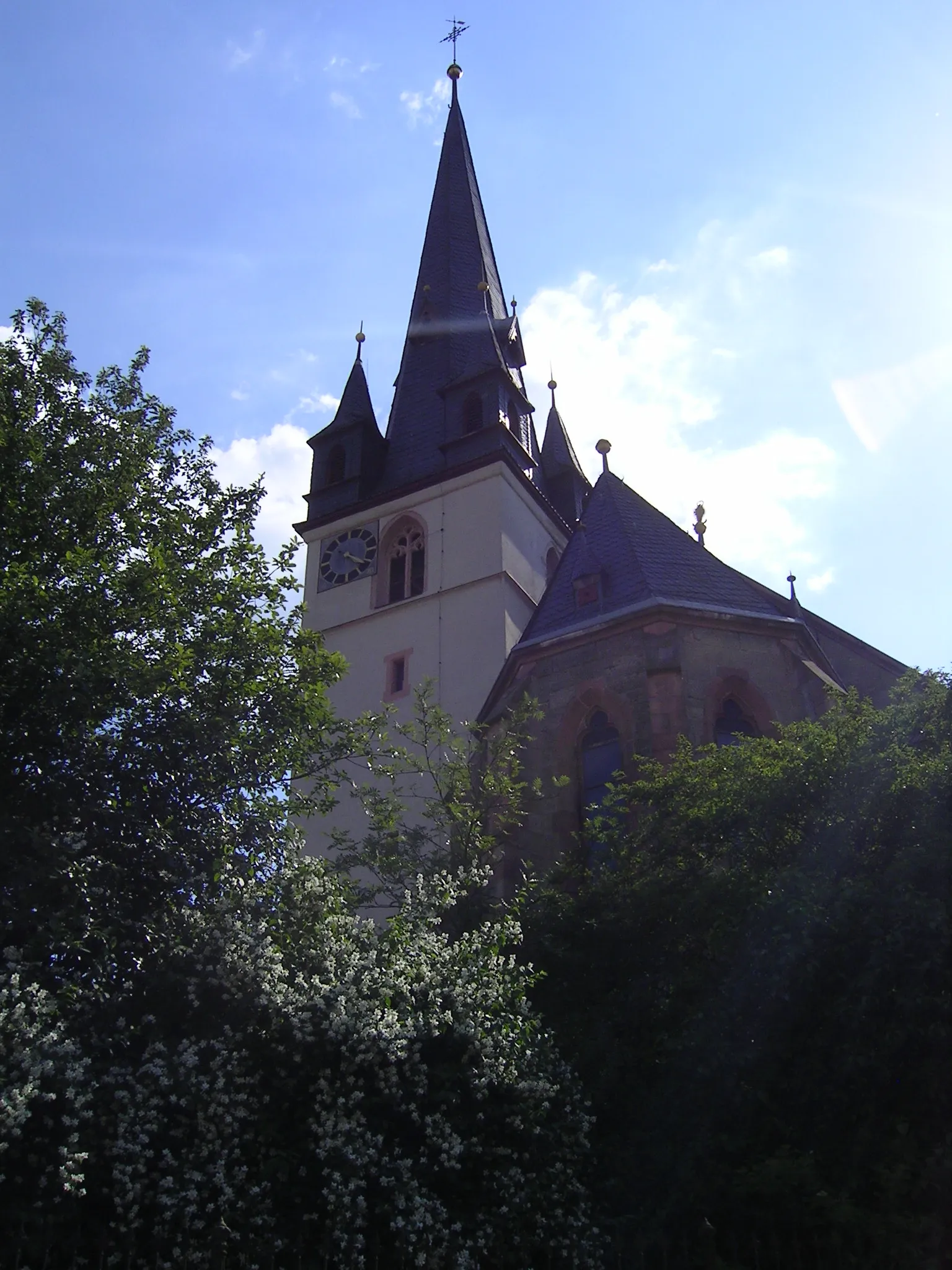
StrahlungenVillagePass through the charming town of Strahlungen, known for its historic buildings and friendly locals. Take a moment to explore the local shops and indulge in some regional delicacies.
33 km
33 km
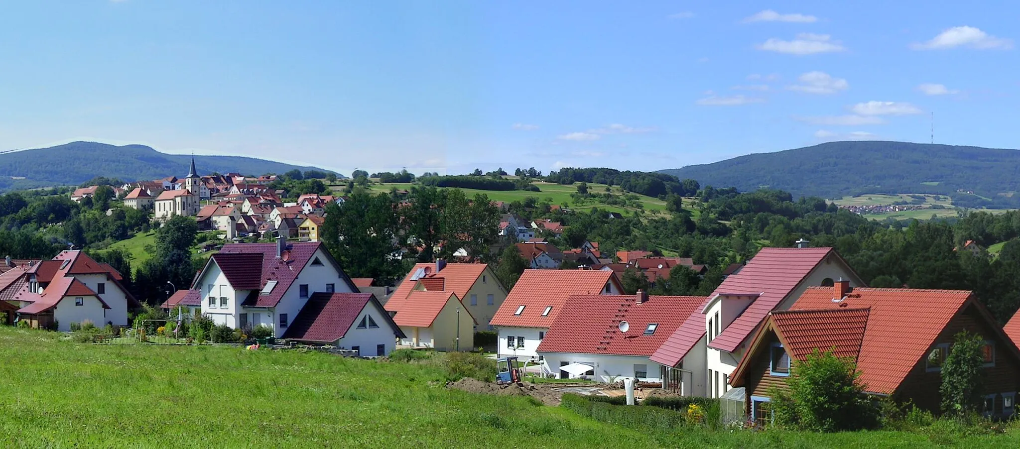
Possenberg339 mPeakDon't miss out on the opportunity to visit Possenberg, a picturesque village known for its traditional Franconian architecture and stunning views.
40 km
40 km
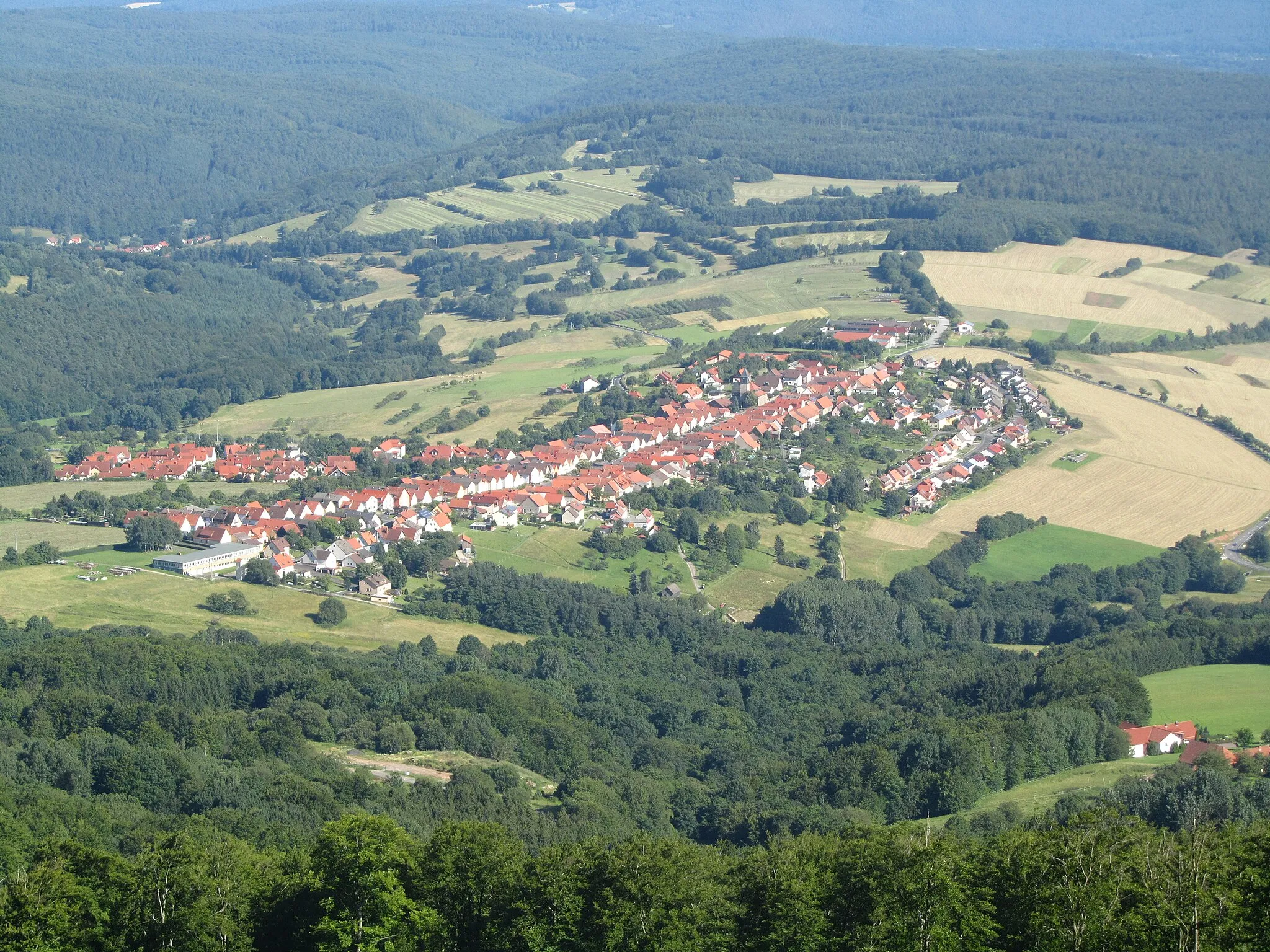
NüdlingenVillageNüdlingen is a must-visit town along the route, offering a rich history and culture waiting to be discovered. Explore the quaint streets and immerse yourself in the local atmosphere.
47 km
47 km
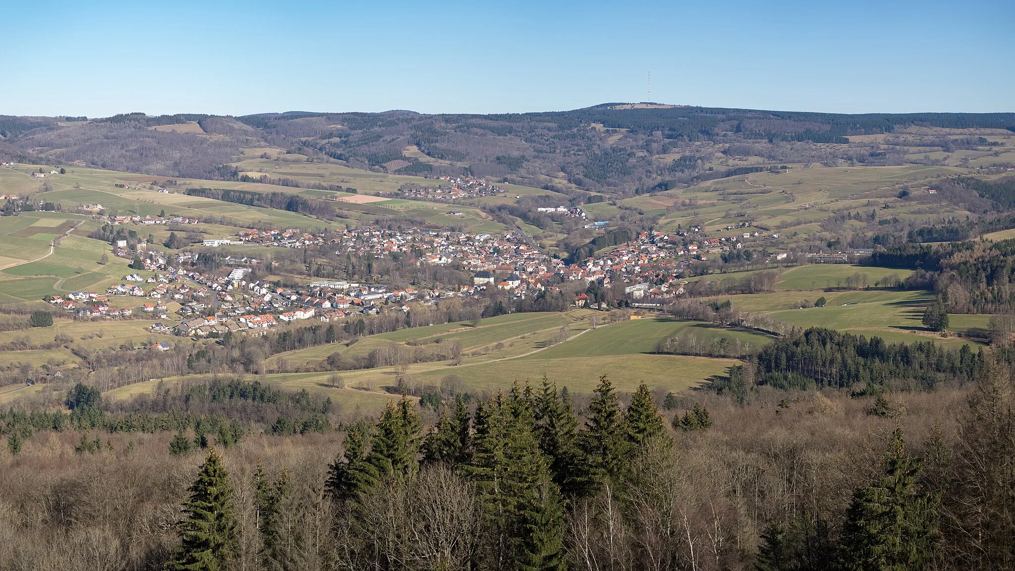
Bad BockletVillageBad Bocklet is a charming spa town famous for its healing waters and beautiful parks. Take some time to relax and rejuvenate before continuing your adventure.
55 km
55 km
PremichVillagePremich is a hidden gem nestled amidst picturesque countryside. Enjoy the peaceful surroundings and catch a breath of fresh air.
60 km
60 km
Finish: Sandberg Village centerSandberg: Road cyclist's paradise in Unterfranken
Cycling routes from Sandberg:
Cycling routes nearby: