Sandberg to Bischofsheim in der Rhön Round-Trip
A gravel cycling route starting from Sandberg
Experience the scenic beauty of the Rhön region on this challenging gravel route.
Map
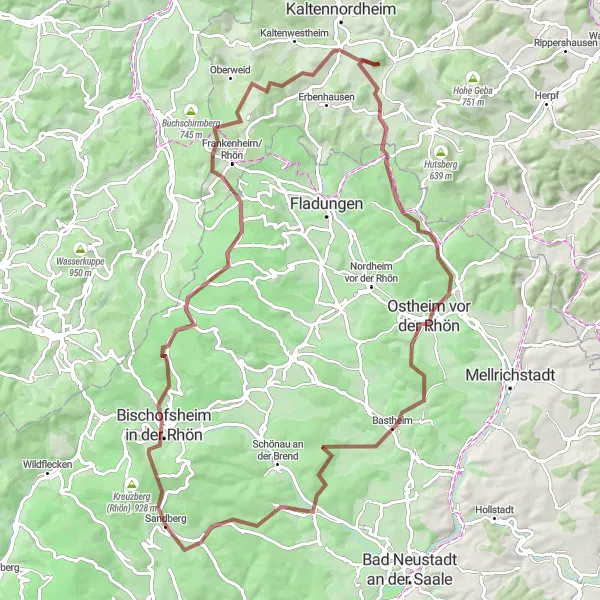
This round-trip route starting near Sandberg takes you through the stunning Rhön region in Unterfranken, Germany. With a total ascent of 1,766 meters and a distance of 96 kilometers, it is a challenging ride that offers breathtaking views and a variety of highlights along the way. The route is suitable for gravel biking and is perfect for adventure seekers and nature enthusiasts. Prepare to be amazed by the picturesque landscapes and the charming villages that you will encounter on this unforgettable cycling journey.
gravel
96 km
1766 m
Tough
Route profile
Highlights on the route
0 km
0 km
Start: Sandberg Village centerSandberg: Road cyclist's paradise in Unterfranken
Sandberg is a locality in Unterfranken, Germany. It is a remarkable destination for road cycling enthusiasts, offering a combination of challenging climbs and scenic routes. The region is known for its rolling hills and picturesque landscapes. Road cyclists can test their skills on climbs like Ziegelberg and Kleinrinderfeld. Gravel cyclists will also find plenty of opportunities to explore the surrounding countryside. Sandberg is a hidden gem for cyclists looking for both a challenge and beautiful views.7 km
7 km
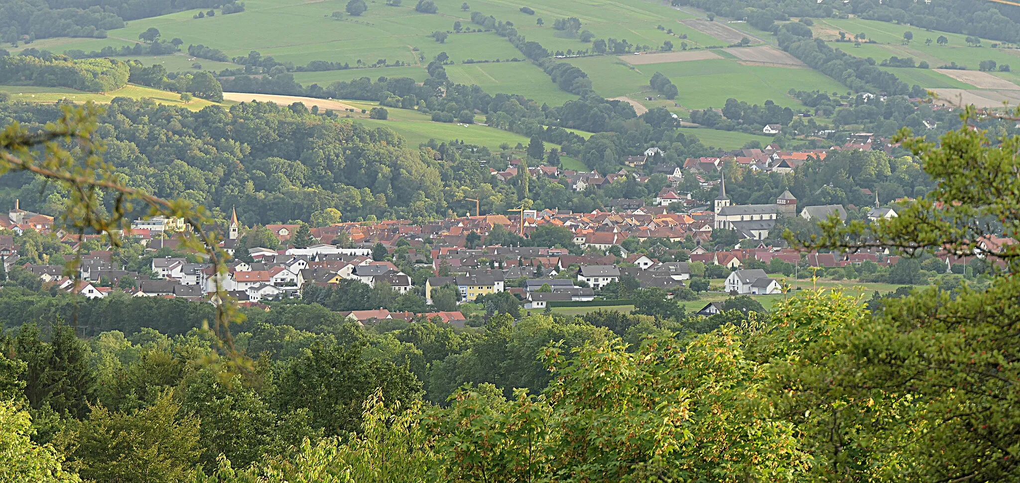
Bischofsheim in der RhönTownBischofsheim in der Rhön is a beautiful village known for its historical buildings and surrounded by stunning nature. Take a break here and explore the charming streets and traditional architecture.
16 km
16 km
Heidelstein Schwabenhimmel913 mPeakHeidelstein Schwabenhimmel is a famous vantage point that offers panoramic views of the Rhön Mountains. Stop here to enjoy the breathtaking scenery and take memorable photos.
33 km
33 km
Ellenbogen813 mViewpointEllenbogen is a unique rock formation that resembles an elbow. It is a popular spot for hikers and bikers, offering amazing views of the surrounding landscape.
41 km
41 km
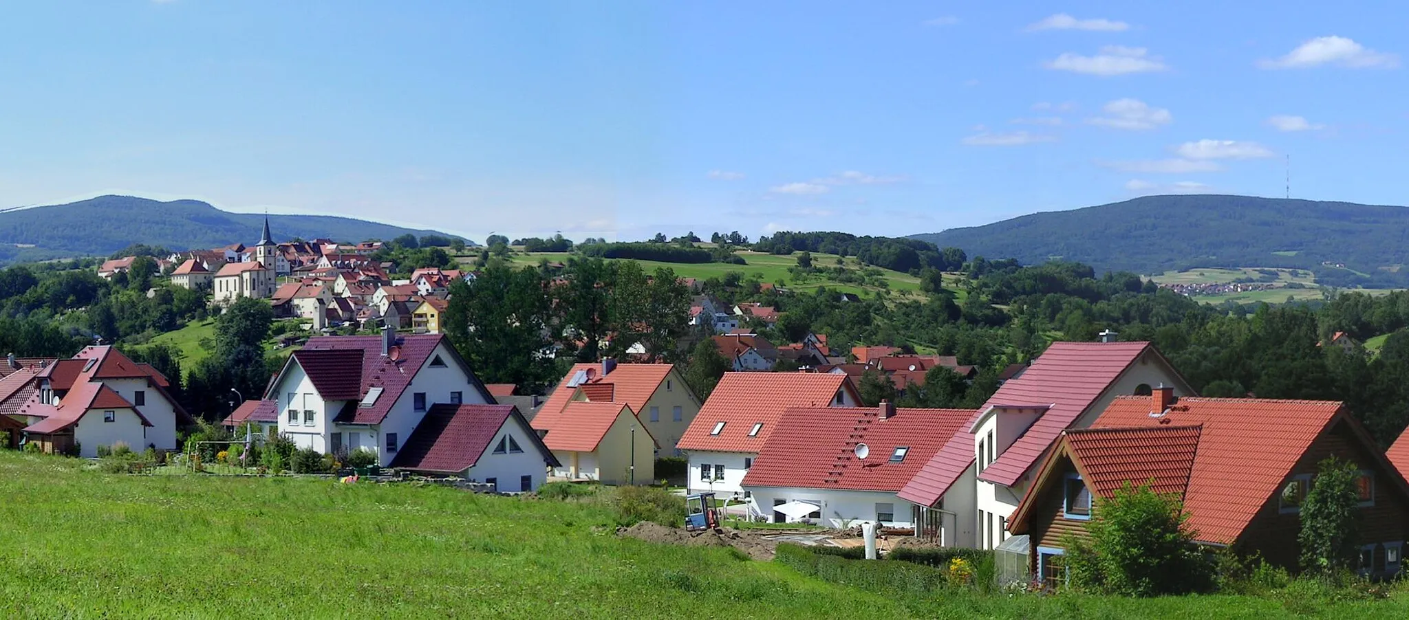
KaltensundheimVillageKaltensundheim is a small village with a rich history. Explore the medieval castle ruins and enjoy the peaceful atmosphere of this hidden gem.
64 km
64 km
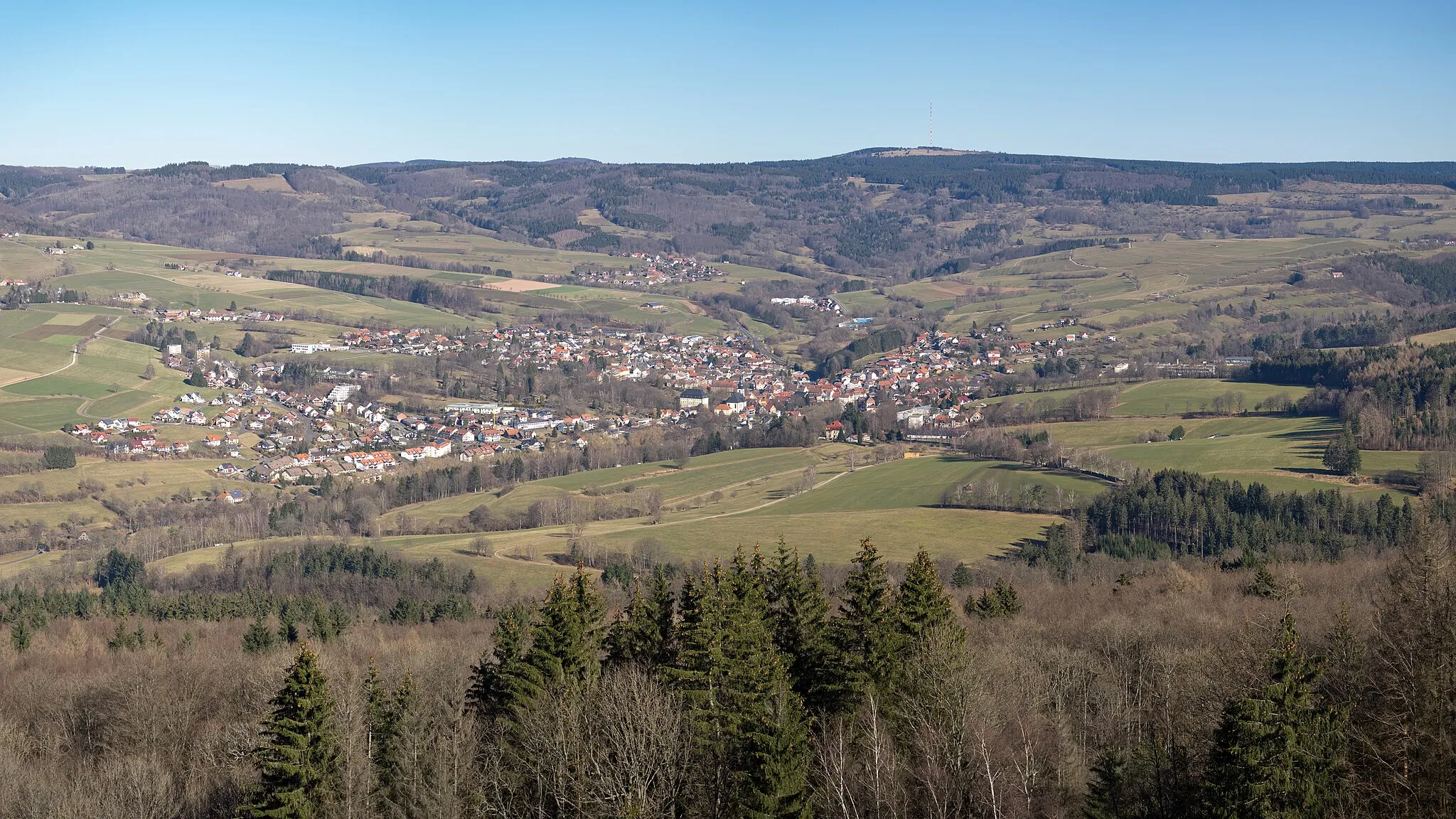
Ostheim vor der RhönTownOstheim vor der Rhön is a charming town with timber-framed houses and narrow streets. Take a stroll through the historic center and admire the well-preserved buildings.
73 km
73 km
BastheimVillageBastheim is a quaint village surrounded by rolling hills and green meadows. Enjoy the picturesque countryside and local hospitality at one of the traditional Bavarian pubs.
74 km
74 km
Reyersbacher Höhe359 mPeakReyersbacher Höhe is a scenic viewpoint that offers panoramic views of the Rhön region. Take a break here and soak in the beauty of the surrounding landscape.
86 km
86 km
BurgwallbachVillageBurgwallbach is a small village known for its picturesque location and historical landmarks. Explore the old castle ruins and enjoy the tranquility of this idyllic spot.
92 km
92 km
Tannenkopf461 mPeakTannenkopf is the highest peak in the Rhön Mountains. Ride to the summit and enjoy the breathtaking views of the surrounding landscapes.
96 km
96 km
Finish: Sandberg Village centerSandberg: Road cyclist's paradise in Unterfranken
Cycling routes from Sandberg:
Cycling routes nearby: