Explore the scenic landscapes and conquer the climbs of Niederlauer.
Cycling routes from Niederlauer
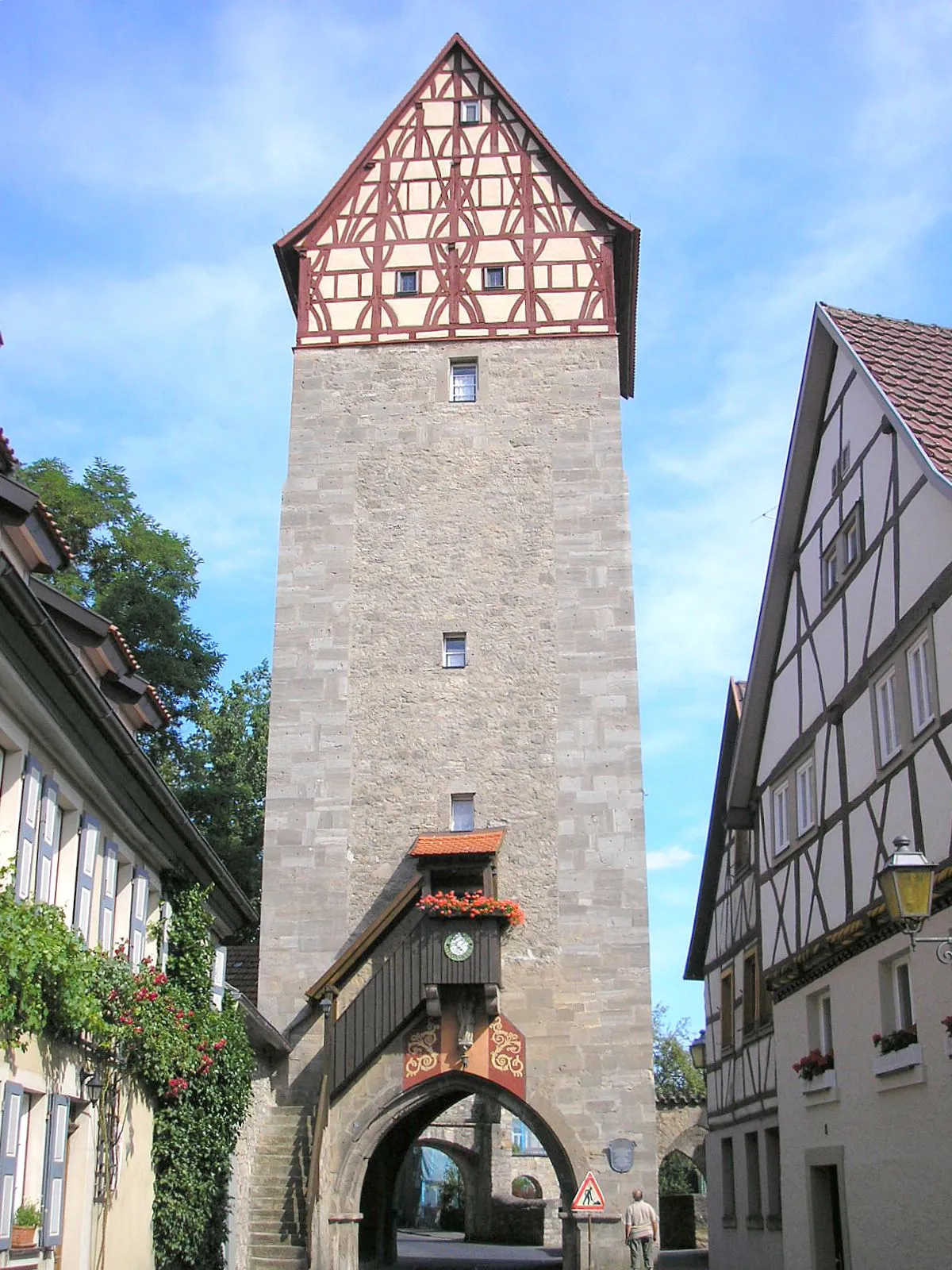
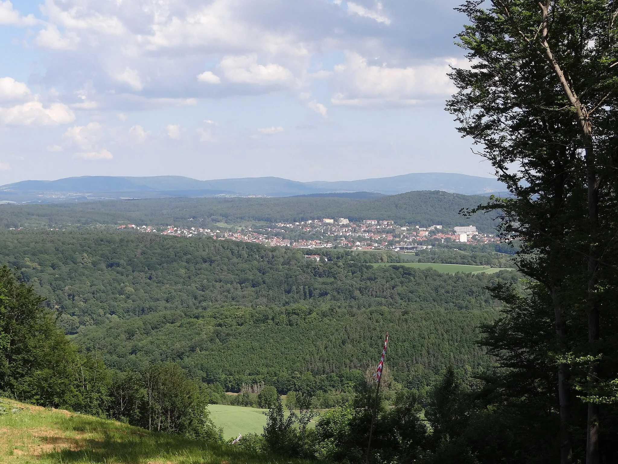
Niederlauer, situated in Unterfranken, Germany, is an attractive locality for road and gravel cycling. Cyclists can immerse themselves in the charm of the region, with picturesque landscapes and historic buildings adorning the route. Niederlauer offers a mix of flat and gently rolling terrain, allowing for enjoyable rides through tranquil countryside. The area is also close to the Rhön Biosphere Reserve, renowned for its challenging climbs and stunning vistas. With its scenic charm and access to the Rhön, Niederlauer is a 4/5 location for cyclists.

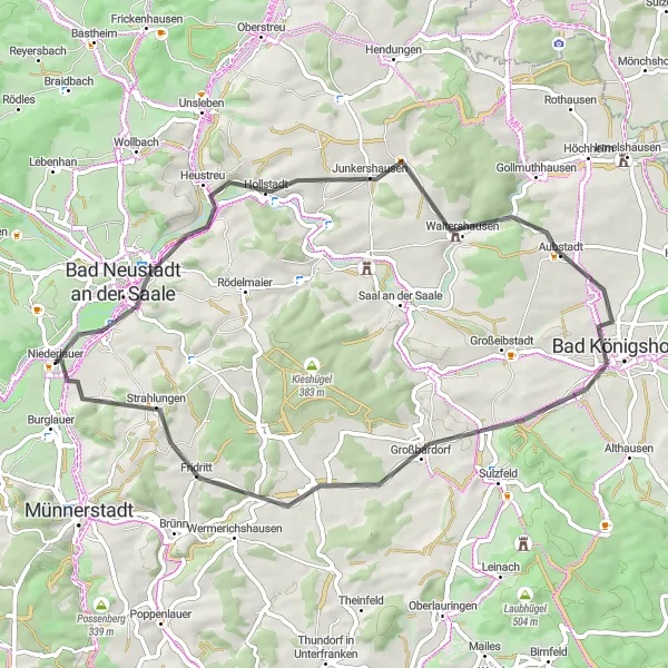
Discover Bad Neustadt and its surrounding countryside on this gravel loop.
Experience the natural beauty of the Bad Neustadt region with this 69-kilometer gravel cycling route. With an ascent of 526 meters, this loop offers a relatively relaxed ride through charming villages and scenic landscapes. Highlights along the route include Bad Neustadt an der Saale, Alte Wart, Deutsch-deutsches Freilandmuseum, Römhilder Höhe, Herbstadt, Großeibstadt, Hart, Kieshügel, and Strahlungen.
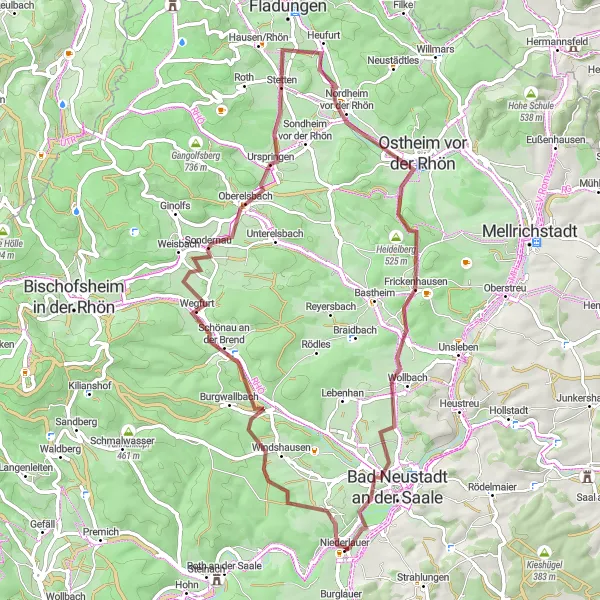
Embark on a thrilling gravel adventure through the scenic Rhön region.
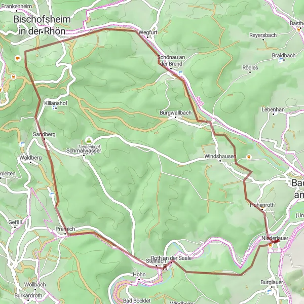
The Rhön Gravel Adventure route is perfect for those seeking an off-road cycling experience in the stunning Rhön region of Unterfranken. This 48-kilometer route features gravel and dirt paths, offering a thrilling and challenging ride. With an ascent of 989 meters, this route is suitable for well-trained amateur gravel cyclists. Highlights along the way include Roth an der Saale, Bischofsheim in der Rhön, Finkelberg, and Hohenroth. These highlights provide unique opportunities to immerse yourself in the natural beauty of the region and discover hidden spots off the beaten path.
Conquer the Rhön region with this challenging mountain biking expedition.
The Rhön Mountain Biking Expedition is an epic 85-kilometer route that will test the skills of even the most experienced cyclists. With an ascent of 1597 meters, this route is suitable for well-trained amateur mountain bikers looking for a challenge. The diverse terrain includes gravel paths, forest trails, and challenging climbs, providing a thrilling adventure through the stunning Rhön region. Highlights along the route include Tannenkopf, Ottilienstein, and Brendlorenzen. These highlights offer unique natural sights and exciting trails that will leave every adrenaline seeker satisfied.
Get ready for a challenging yet rewarding cycling adventure with stunning views.
Embrace the ultimate cycling challenge with this 109-kilometer road cycling route featuring 2,139 meters of ascent. Prepare to conquer Palmsberg, Roth an der Saale, Totnansberg, Wildflecken, Simmelsberg, Weyhers, Abtsrodaer Kuppe, Wüstensachsen, Heidelstein Schwabenhimmel, Schönau an der Brend, and Hohenroth. This route is designed for experienced cyclists seeking epic climbs, breathtaking vistas, and a thrilling ride.
Rhön Panorama Road
Cycle through the beautiful Rhön region and enjoy breathtaking views.
The Rhön Panorama Road is a scenic cycling route that takes you through the picturesque Rhön region in Unterfranken, Germany. With a total distance of 60 kilometers and an ascent of 866 meters, this road cycling route offers a moderate challenge for well-trained amateur cyclists. The route is mainly on paved roads, providing a smooth and enjoyable ride. With highlights such as Palmsberg, Roth an der Saale, and Bischofsheim in der Rhön along the way, you'll have plenty of opportunities to take in the stunning natural landscapes and charming local towns of the Rhön region.
Hohenroth Gravel Adventure
Embark on an exciting gravel adventure through the scenic Hohenroth region.
Unleash your adventurous spirit with this 53-kilometer gravel cycling route in the Hohenroth region of Unterfranken, Germany. With an ascent of 763 meters, this route offers a moderate challenge for gravel enthusiasts. Highlights along the way include Hohenroth, Oberelsbach, Ostheimer Warte, Unsleben, Bad Neustadt an der Saale, and Luitpold Höhe.
Castle Road Adventure
Embark on a journey through history and nature along the Castle Road.
The Castle Road Adventure takes you on a 55-kilometer road cycling tour through the scenic Unterfranken region, dotted with charming towns and historic landmarks. With an ascent of 545 meters, this moderately challenging route is suitable for well-trained amateur cyclists. Highlights along the way include Hollstadt, Bad Königshofen, and Strahlungen, which offer unique perspectives on the region's history and architecture. Take in the enchanting atmosphere of these towns and admire impressive castles and ancient ruins. The Castle Road Adventure is a perfect blend of culture, history, and beautiful landscapes.
Rhön Grand Tour

Embark on a grand cycling adventure through the stunning Rhön region.
The Rhön Grand Tour is a 99-kilometer road cycling route that takes you on a captivating journey through the diverse landscapes of Unterfranken. With an ascent of 975 meters, this route is suitable for experienced amateur cyclists. Highlights along the way include Luitpold Höhe, Aubstadt, Hofheim in Unterfranken, and Burglauer. These highlights showcase breathtaking views, charming towns, and historical sites, providing a well-rounded experience of the region. The Rhön Grand Tour is a true gem for cycling enthusiasts looking for a memorable adventure in the heart of Germany.
Exploring the Rhön on Gravel
Immerse yourself in the beauty of the Rhön region with this gravel cycling route.
Experience the rugged beauty of the Rhön region with this 65-kilometer gravel cycling route. With an ascent of 726 meters, this route offers varied terrain and scenic vistas. Highlights along the way include Hohenroth, Schönau an der Brend, Dünsberg, Oberelsbach, Sommerberg, Ostheim vor der Rhön, Rehberg, and Wollbach.
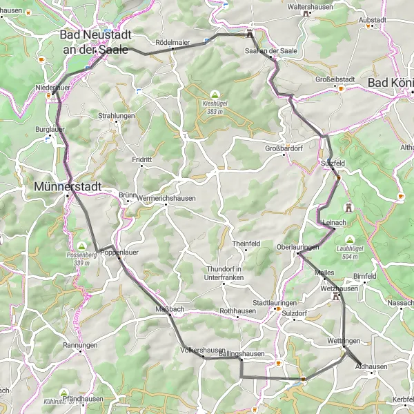
Cycle through scenic hills and exciting landscapes around Niederlauer
This road cycling route takes you through the beautiful countryside near Niederlauer. With a total distance of 71 kilometers and an ascent of 589 meters, it offers a moderate challenge for well-trained amateurs.
Cycling routes nearby:


Nearby regions: