Road route to explore the heights near Niederlauer
A road cycling route starting from Niederlauer
Cycle through scenic hills and exciting landscapes around Niederlauer
Map
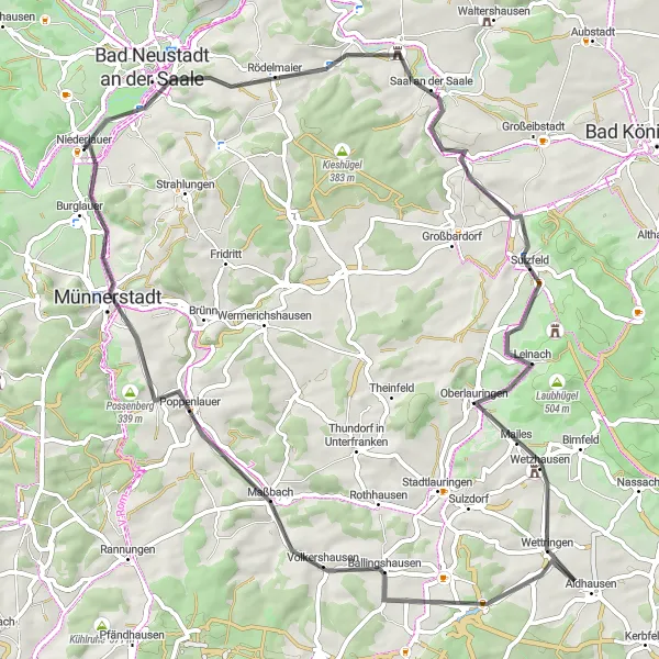
This road cycling route takes you through the beautiful countryside near Niederlauer. With a total distance of 71 kilometers and an ascent of 589 meters, it offers a moderate challenge for well-trained amateurs.
road
71 km
589 m
Tough
Route profile
Highlights on the route
0 km
0 km
Start: Niederlauer Village centerNiederlauer: Explore the scenic landscapes and conquer the climbs of Niederlauer.
Niederlauer, situated in Unterfranken, Germany, is an attractive locality for road and gravel cycling. Cyclists can immerse themselves in the charm of the region, with picturesque landscapes and historic buildings adorning the route. Niederlauer offers a mix of flat and gently rolling terrain, allowing for enjoyable rides through tranquil countryside. The area is also close to the Rhön Biosphere Reserve, renowned for its challenging climbs and stunning vistas. With its scenic charm and access to the Rhön, Niederlauer is a 4/5 location for cyclists.3 km
3 km
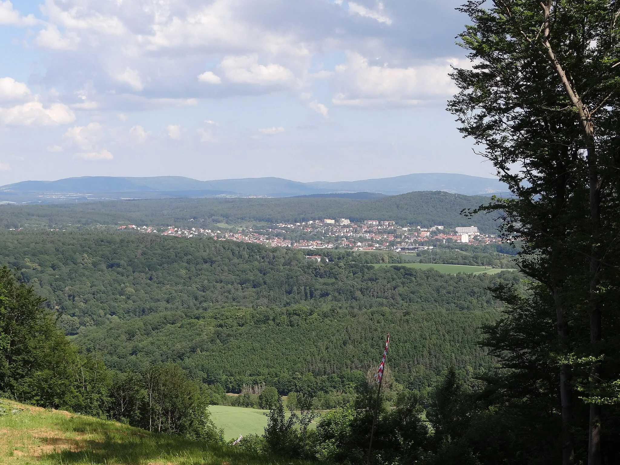
Luitpold HöheViewpointStop at Luitpold Höhe for breathtaking views of the surrounding valleys and hills.
8 km
8 km
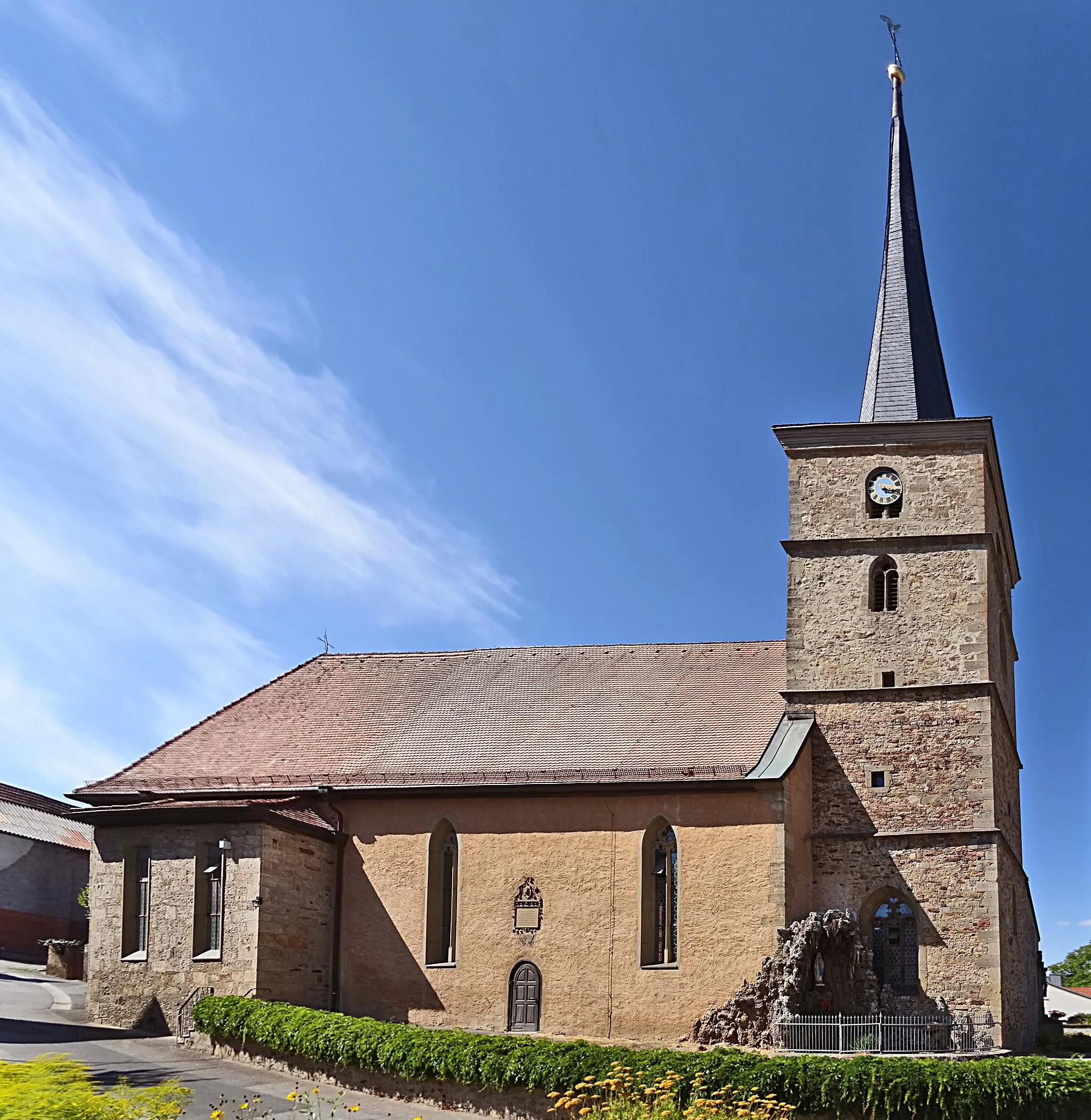
RödelmaierVillageVisit Rödelmaier, a charming village with traditional half-timbered houses and picturesque streets.
18 km
18 km
KleineibstadtVillagePass through Kleineibstadt, known for its beautiful vineyards and wine production.
20 km
20 km
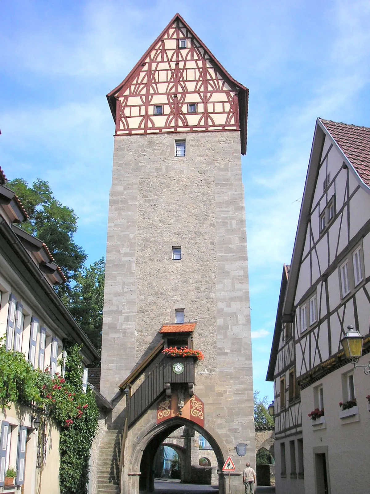
Hart329 mPeakExplore Hart, a historic town with a well-preserved medieval castle.
39 km
39 km
AidhausenVillagePause in Aidhausen, a quaint village known for its small breweries and beer culture.
54 km
54 km
MaßbachVillageCycle through Maßbach, home to several historical buildings and museums.
61 km
61 km
Possenberg339 mPeakAdmire the views from Possenberg, a scenic lookout point with panoramic vistas.
68 km
68 km
BurglauerVillageVisit Burglauer, a charming town with a well-preserved medieval fortress.
71 km
71 km
Finish: Niederlauer Village centerNiederlauer: Explore the scenic landscapes and conquer the climbs of Niederlauer.
Cycling routes from Niederlauer:
Riemenschneider-Kruzifix and Rhön Valley Road Rhön Gravel Adventure Rhön Panorama Road Exploring the Rhön on Gravel Castle Road Adventure Rhön Mountain Biking Expedition Hohenroth Gravel Adventure Bad Neustadt Gravel Loop Rhön Grand Tour Challenging Climbs and Breathtaking Views Road route to explore the heights near Niederlauer
Cycling routes nearby: