Kilianshof Loop
A gravel cycling route starting from Sandberg
Discover picturesque landscapes on this challenging gravel route
Map
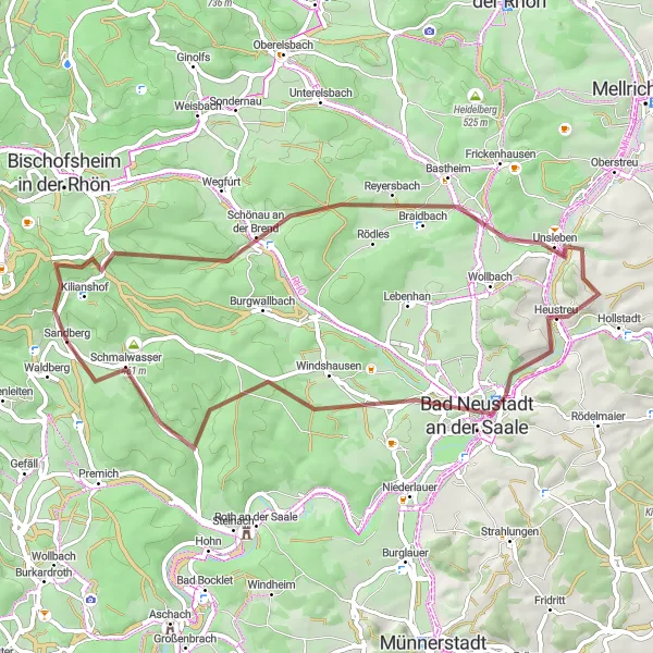
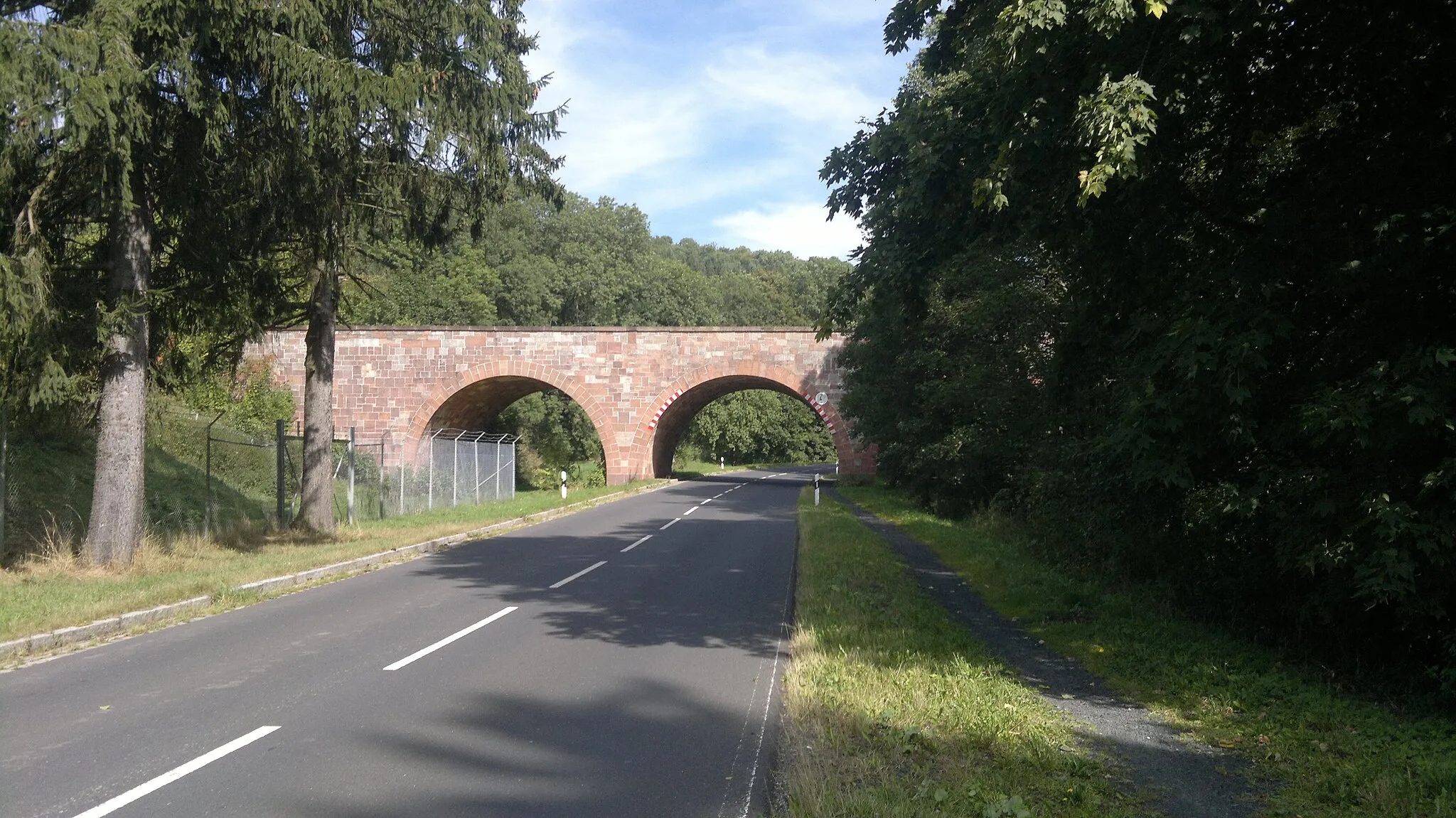
The Kilianshof Loop is a 54km long challenging gravel route that takes you through picturesque landscapes and charming villages. Prepare for a scenic journey with an ascent of 876m, suitable for experienced cyclists. Explore the historic Kilianshof and enjoy the panoramic views from the Bischofsheimer Panorama. Admire the natural beauty of Heustreu and take a break in the vibrant town of Bad Neustadt an der Saale. The Tannenkopf is the highlight of the route, offering stunning views and a peaceful ambiance.
gravel
54 km
876 m
Savage
Route profile
Highlights on the route
0 km
0 km
Start: Sandberg Village centerSandberg: Road cyclist's paradise in Unterfranken
Sandberg is a locality in Unterfranken, Germany. It is a remarkable destination for road cycling enthusiasts, offering a combination of challenging climbs and scenic routes. The region is known for its rolling hills and picturesque landscapes. Road cyclists can test their skills on climbs like Ziegelberg and Kleinrinderfeld. Gravel cyclists will also find plenty of opportunities to explore the surrounding countryside. Sandberg is a hidden gem for cyclists looking for both a challenge and beautiful views.2 km
2 km
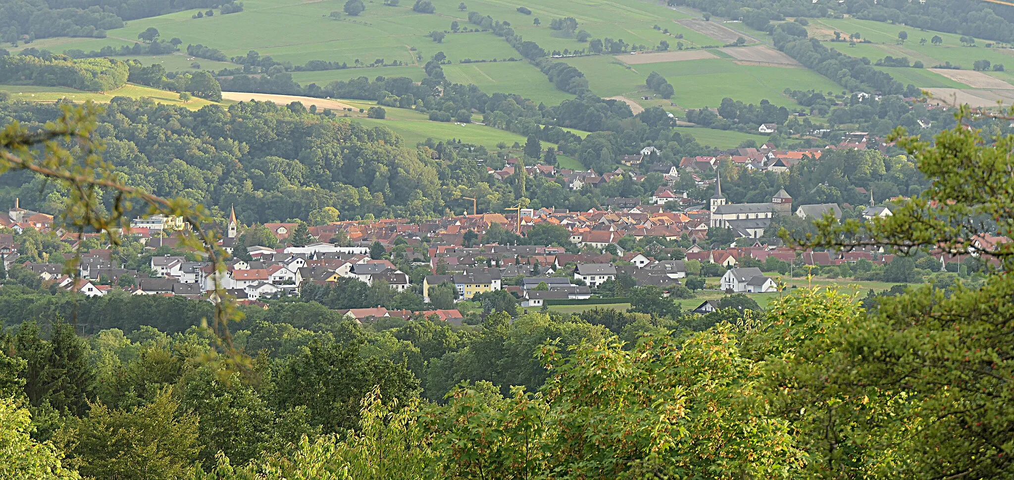
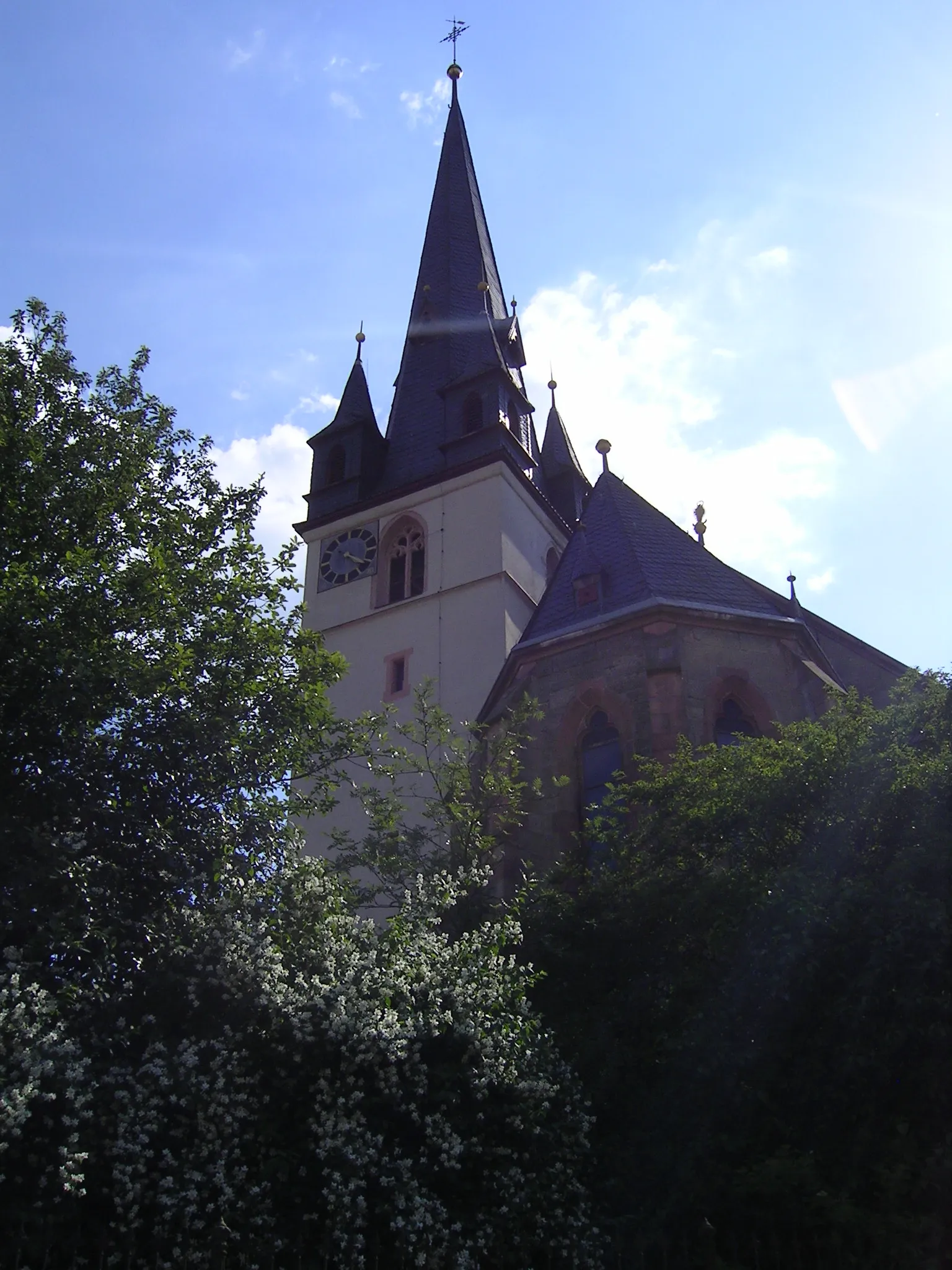
KilianshofVillageKilianshof is a small village with a historic church and beautiful traditional houses. Take a moment to appreciate the local architecture.
2 km
2 km
Bischofsheimer PanoramaViewpointBischofsheimer Panorama offers sweeping views of the Rhön Mountains and the surrounding countryside. Capture the beauty of nature on your camera.
18 km
18 km
Reyersbacher Höhe359 mPeakThe highest point of the route, Reyersbacher Höhe, offers breathtaking panoramic views. Take your time to enjoy the scenery.
19 km
19 km
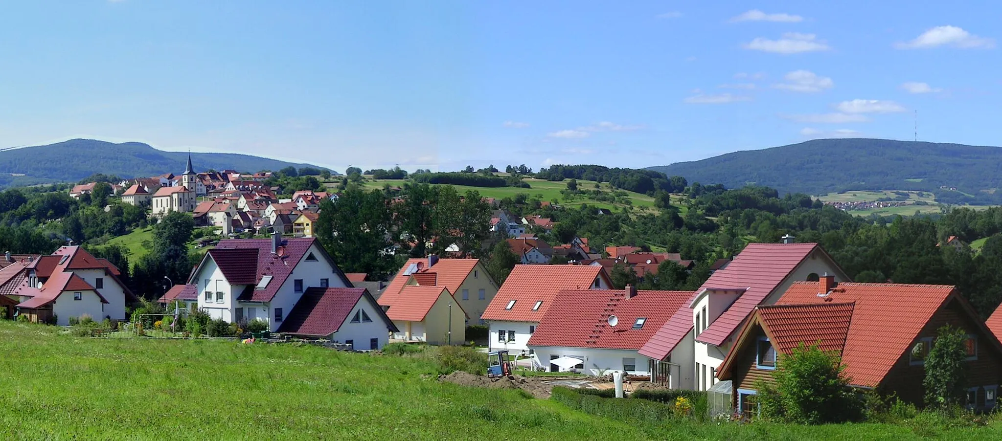
BastheimVillageBastheim is a small village with a rich history and charming streets. Discover hidden gems as you explore the village.
29 km
29 km
HeustreuVillageHeustreu is known for its picturesque landscapes and serene atmosphere. Take a moment to appreciate the beauty of nature.
34 km
34 km
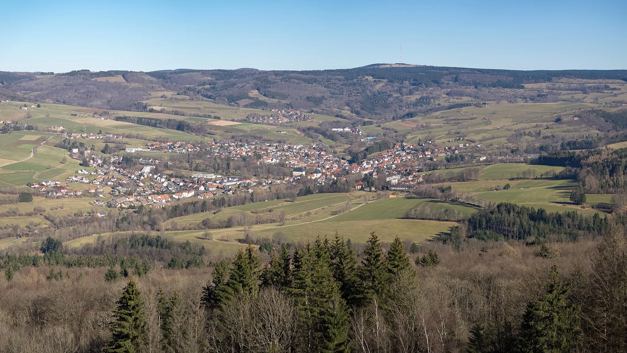
Bad Neustadt an der SaaleTownBad Neustadt an der Saale is a bustling town with vibrant markets, cafés, and cultural attractions. Indulge in local cuisine and explore its charming streets.
51 km
51 km
Tannenkopf461 mPeakTannenkopf is a renowned hiking destination with breathtaking views and peaceful surroundings. Feel rejuvenated by nature's beauty.
54 km
54 km
Finish: Sandberg Village centerSandberg: Road cyclist's paradise in Unterfranken
Cycling routes from Sandberg:
Cycling routes nearby: