Rhön Challenge
A road cycling route starting from Sandberg
An epic road route through the scenic Rhön region
Map
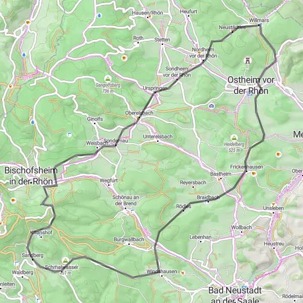
The Rhön Challenge is a 65km long road route that takes you through the scenic Rhön region, known for its picturesque landscapes and charming villages. This challenging route includes an ascent of 1114m, making it suitable for experienced cyclists. Explore the historic Kilianshof and enjoy the natural beauty of the Zickzackküppel. Oberelsbach is another highlight along the route, offering stunning views and a charming atmosphere. The Tannenkopf is the highest point of the route, providing panoramic views of the Rhön Mountains. Experience the beauty of Ostheim vor der Rhön and the tranquility of Schmalwasser.
road
65 km
1114 m
Tough
Route profile
Highlights on the route
0 km
0 km
Start: Sandberg Village centerSandberg: Road cyclist's paradise in Unterfranken
Sandberg is a locality in Unterfranken, Germany. It is a remarkable destination for road cycling enthusiasts, offering a combination of challenging climbs and scenic routes. The region is known for its rolling hills and picturesque landscapes. Road cyclists can test their skills on climbs like Ziegelberg and Kleinrinderfeld. Gravel cyclists will also find plenty of opportunities to explore the surrounding countryside. Sandberg is a hidden gem for cyclists looking for both a challenge and beautiful views.2 km
2 km
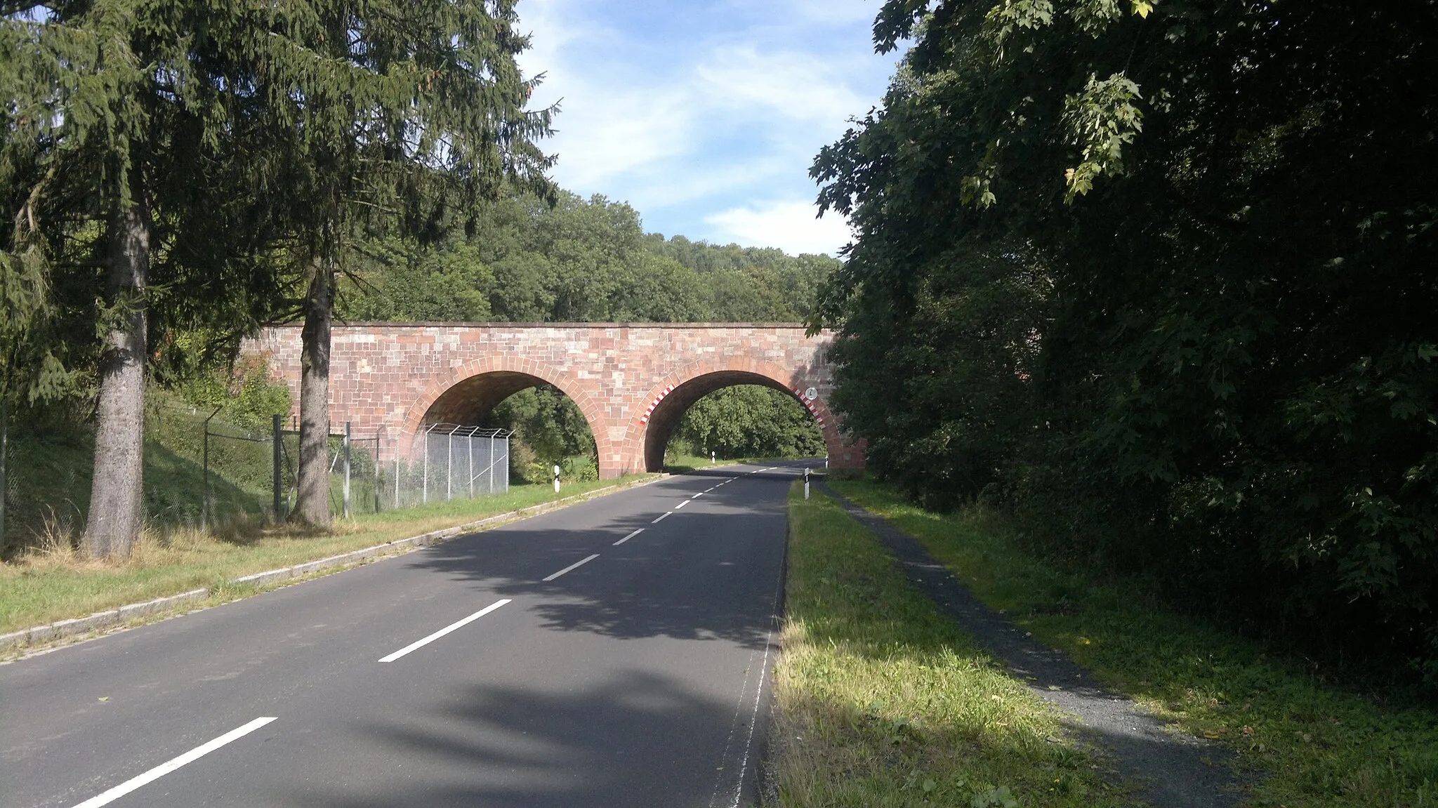
KilianshofVillageKilianshof is a small village with a rich history and traditional architecture. Explore the narrow streets and discover hidden gems.
12 km
12 km
Zickzackküppel619 mPeakZickzackküppel is a challenging climb that rewards you with breathtaking views of the surrounding countryside. Prepare for an adventurous ride.
18 km
18 km
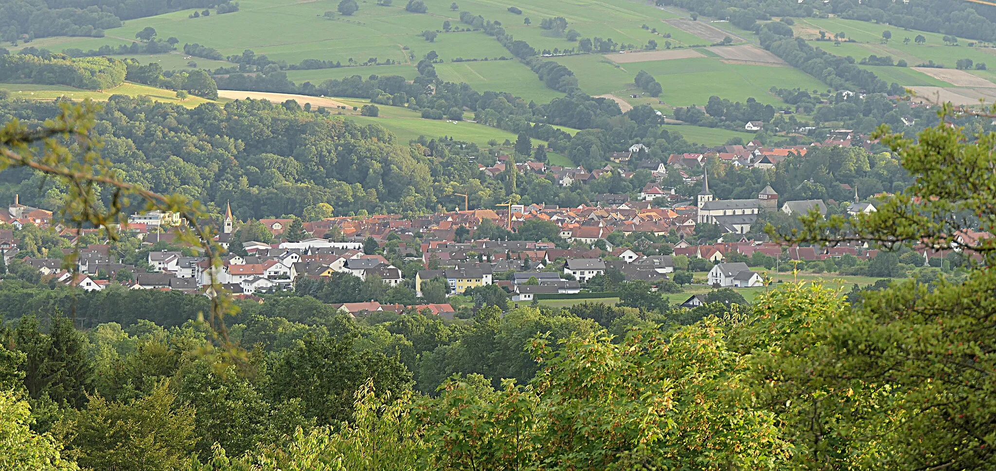
OberelsbachVillageOberelsbach is a charming village with half-timbered houses and a medieval castle. Discover the village's rich cultural heritage.
18 km
18 km
Heppberg546 mPeakHeppberg is known for its picturesque landscapes and rolling hills. Enjoy the serene surroundings during your ride.
28 km
28 km
Hasenkopf514 mPeakHasenkopf is a popular viewpoint with panoramic views of the Rhön region. Take a moment to admire the stunning vistas.
30 km
30 km
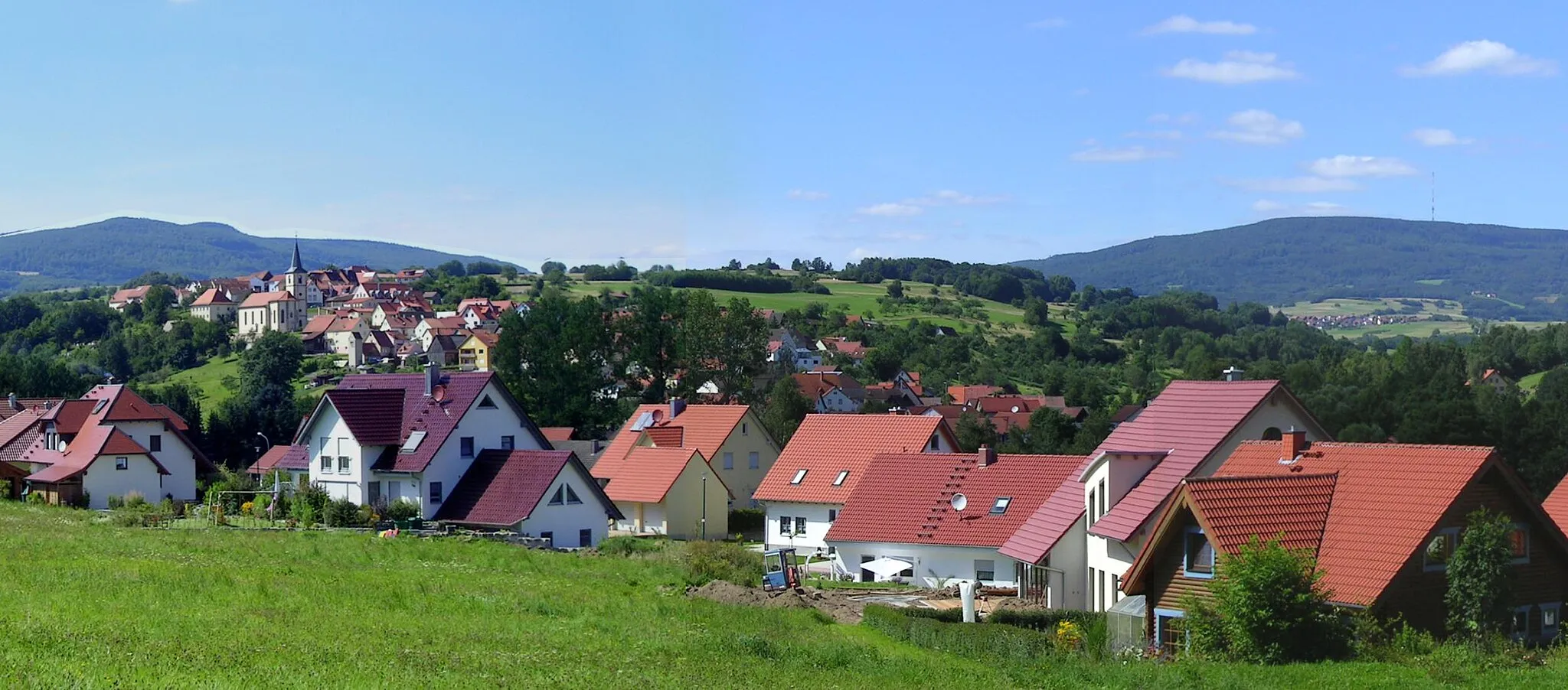
WillmarsVillageWillmars is a picturesque village surrounded by lush green meadows. Experience the tranquility of rural life.
35 km
35 km
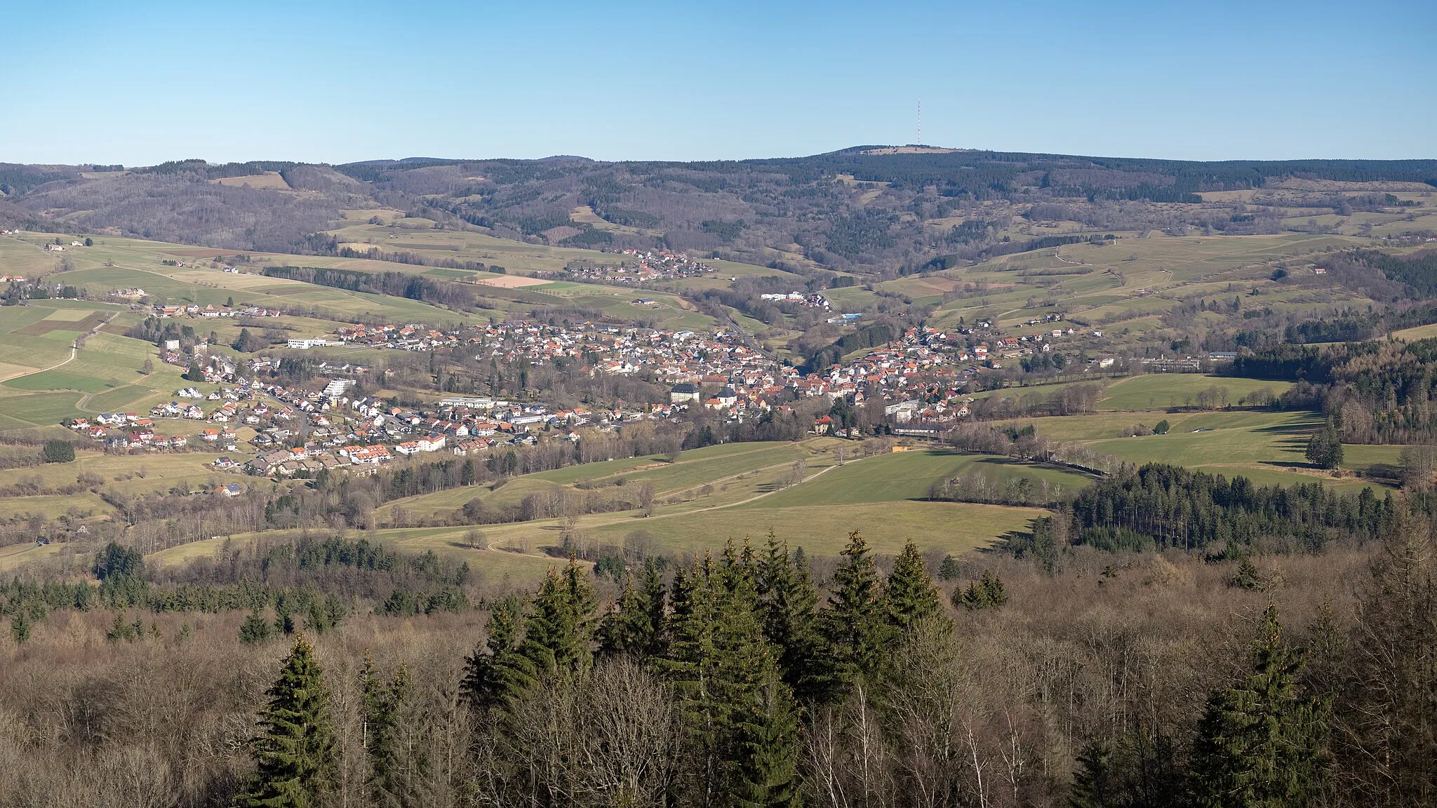
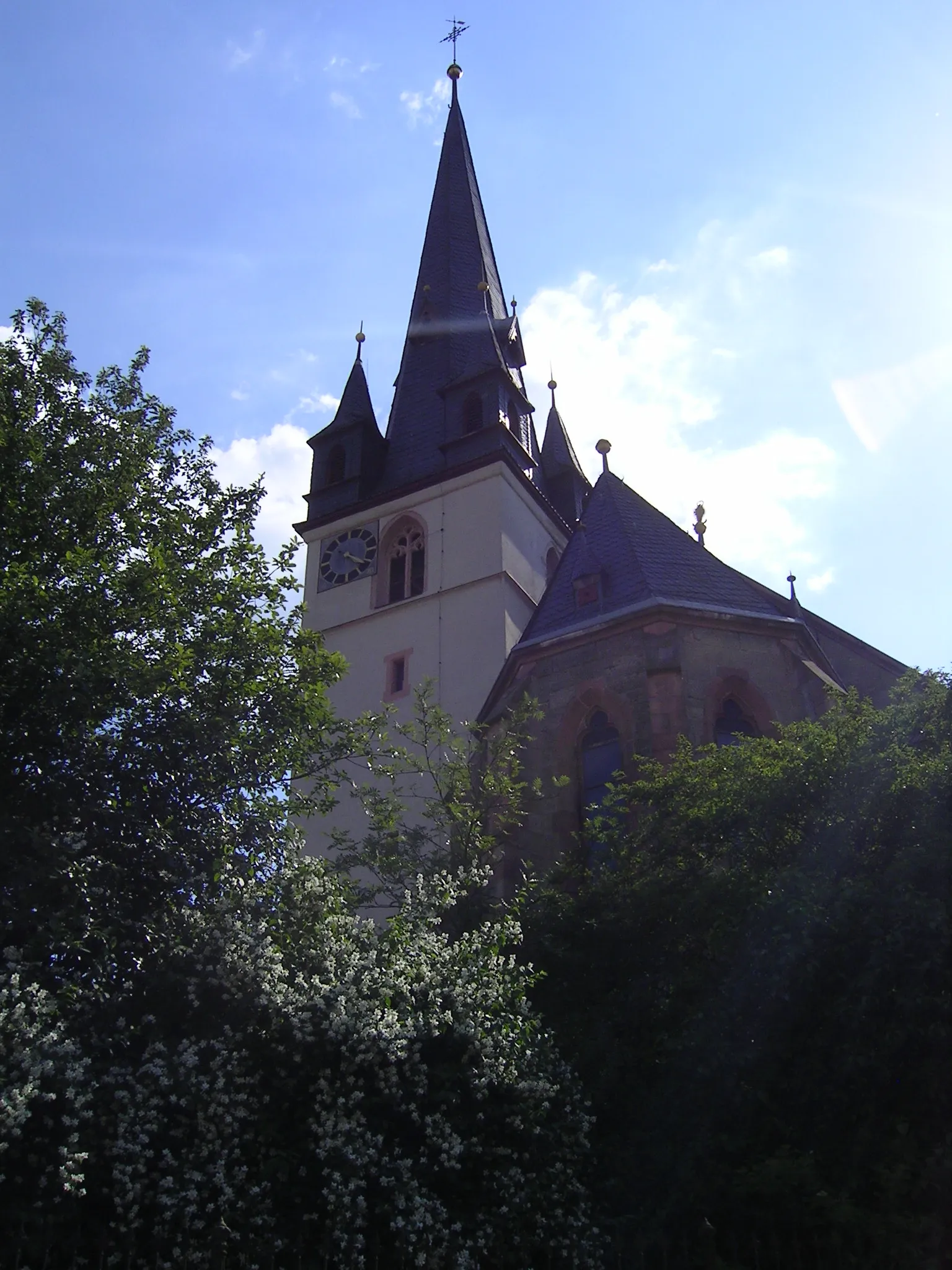
Ostheim vor der RhönTownOstheim vor der Rhön is a historic town with well-preserved medieval buildings. Explore its charming streets and visit local shops and cafes.
44 km
44 km
Rehberg392 mPeakRehberg is a popular cycling spot famous for its challenging hills and breathtaking views. Feel the adrenaline rush as you conquer the ascent.
61 km
61 km
Tannenkopf461 mPeakTannenkopf is the highest point of the route, offering stunning panoramic views of the Rhön Mountains. Capture the beauty of nature on your camera.
62 km
62 km
SchmalwasserVillageSchmalwasser is a picturesque area known for its crystal-clear streams and lush green landscapes. Take a moment to immerse yourself in nature's tranquility.
65 km
65 km
Finish: Sandberg Village centerSandberg: Road cyclist's paradise in Unterfranken
Cycling routes from Sandberg:
Cycling routes nearby: