Hidden gem with diverse cycling experiences and proximity to cycling events.
Cycling routes from Wartmannsroth
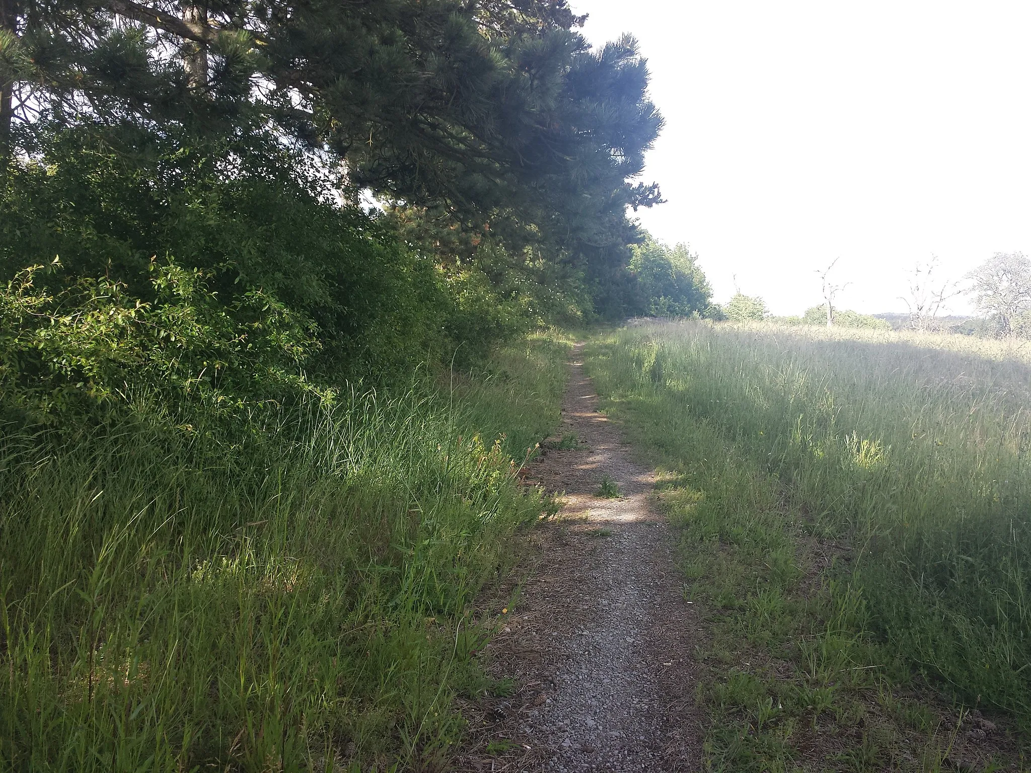
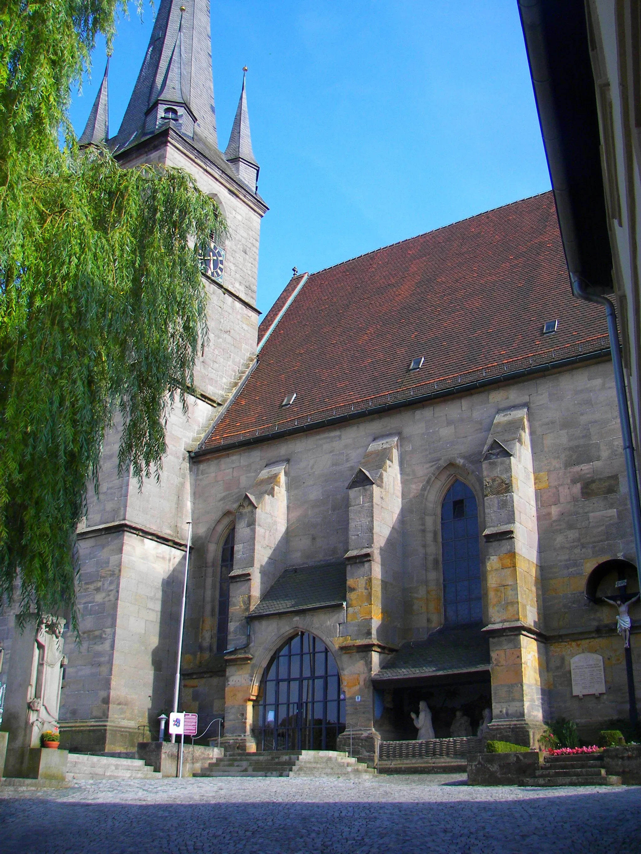
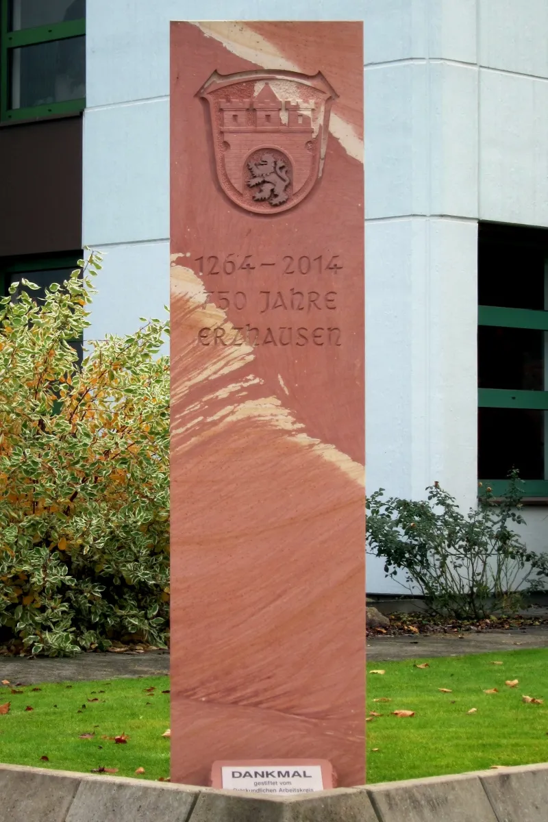
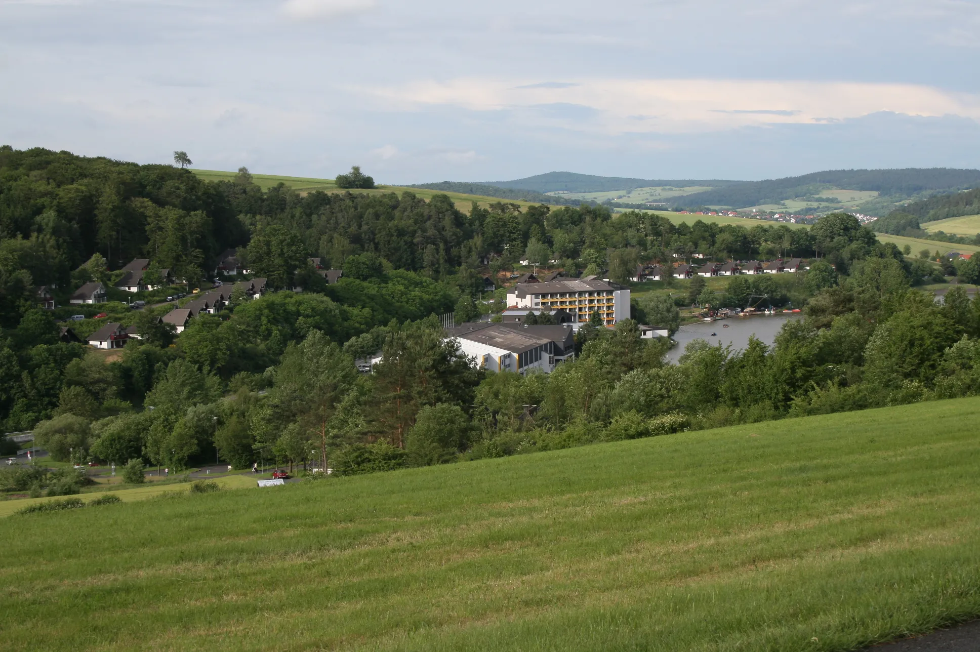
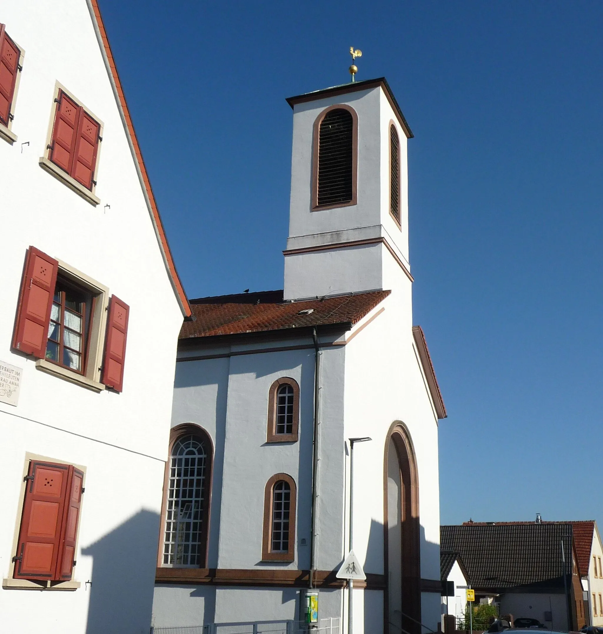
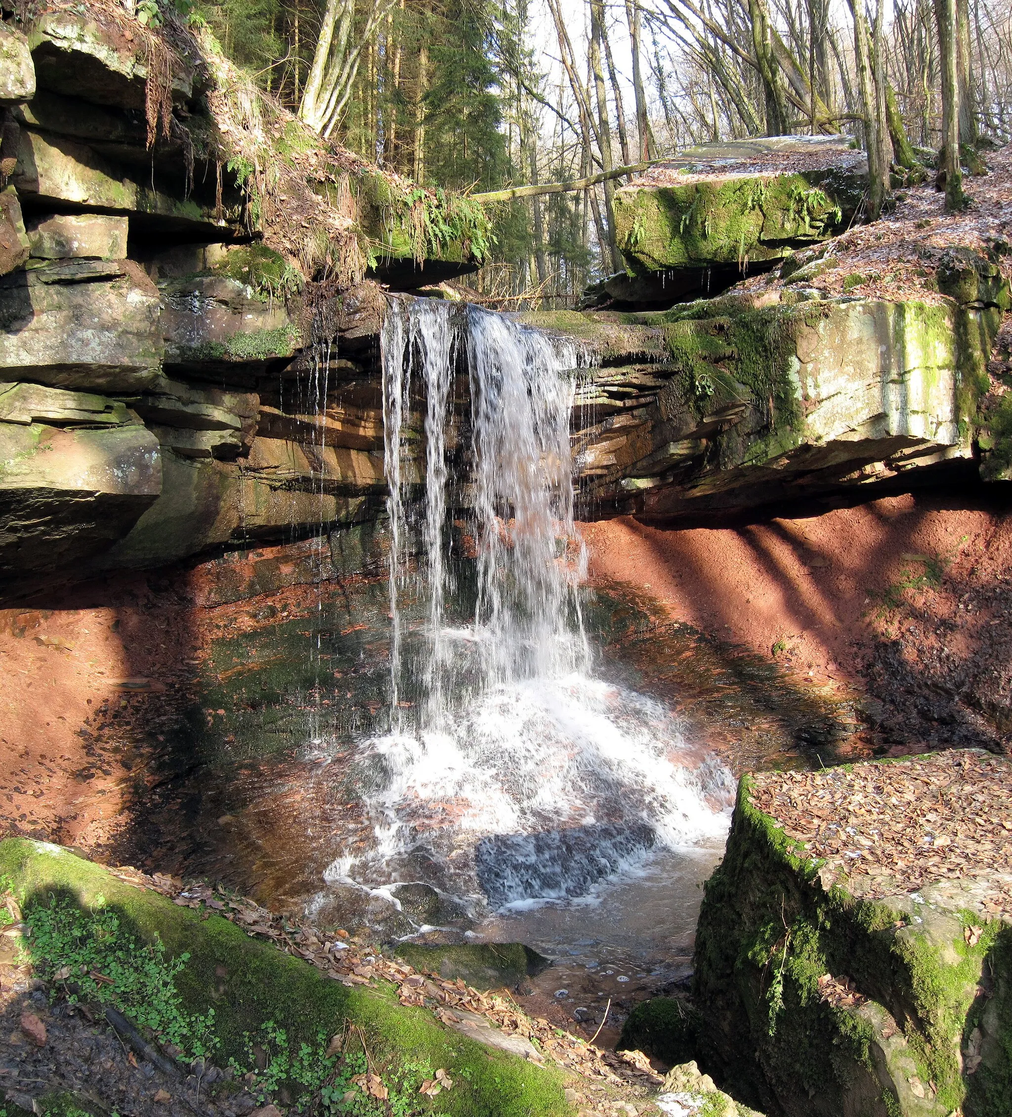
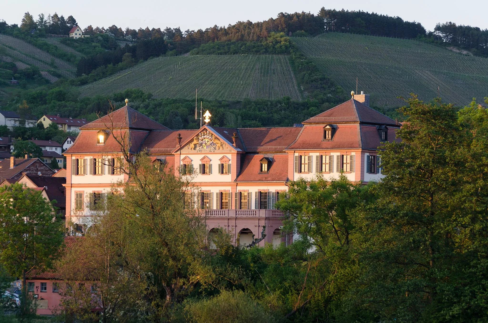
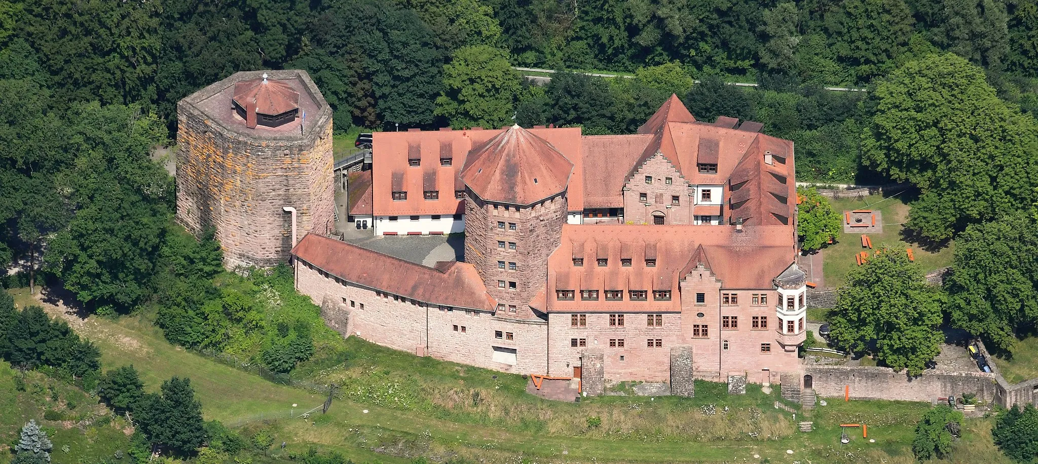
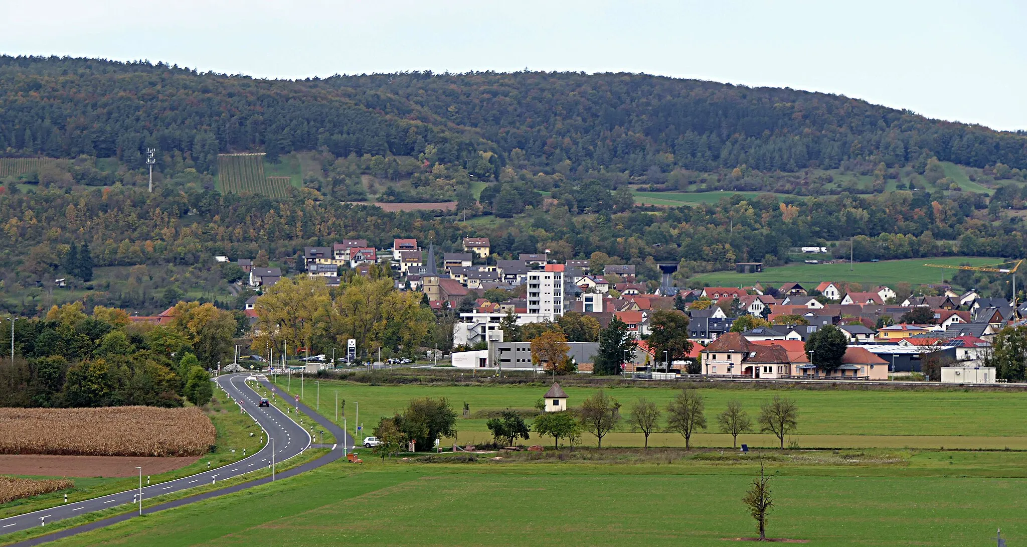
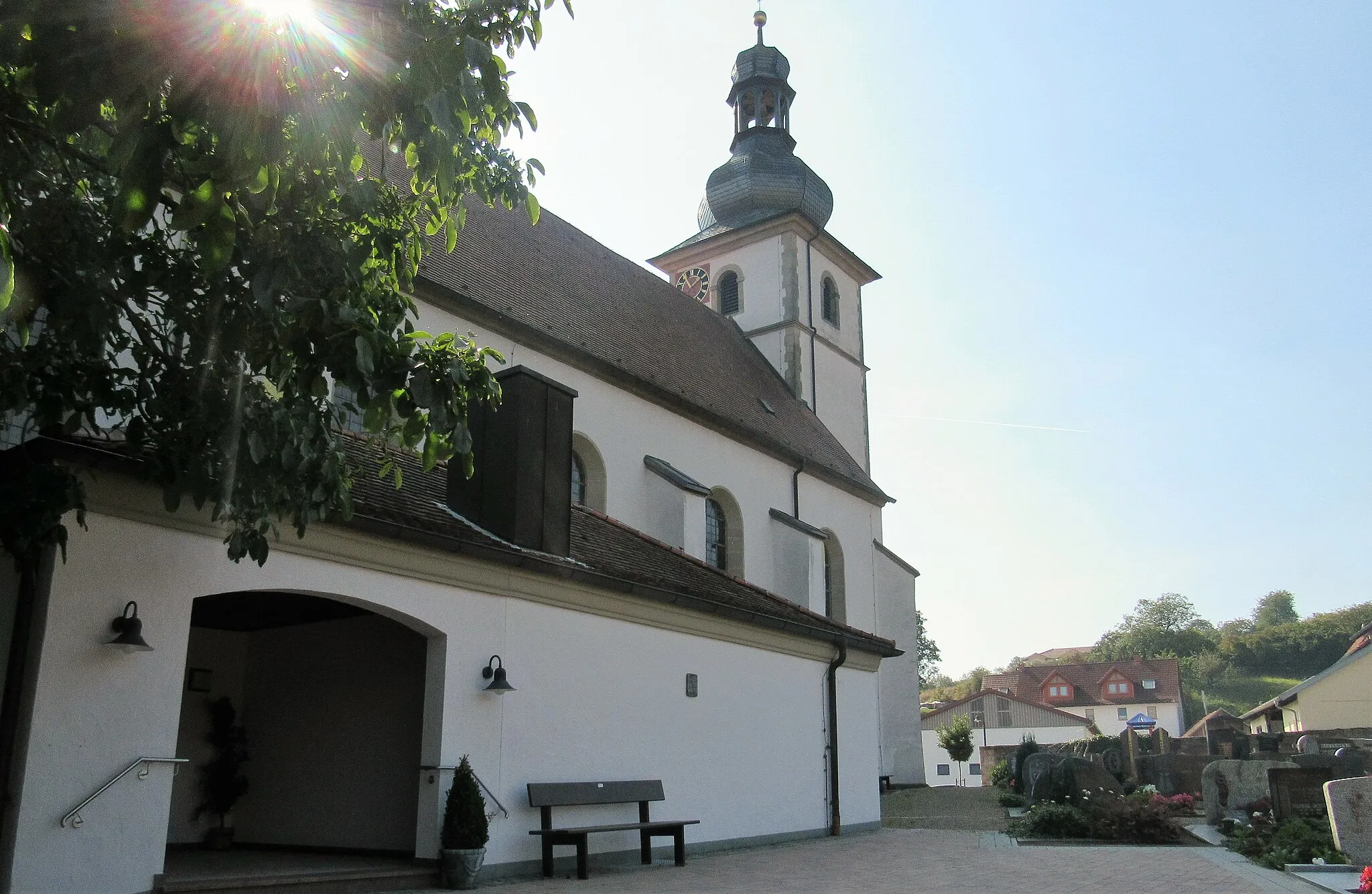
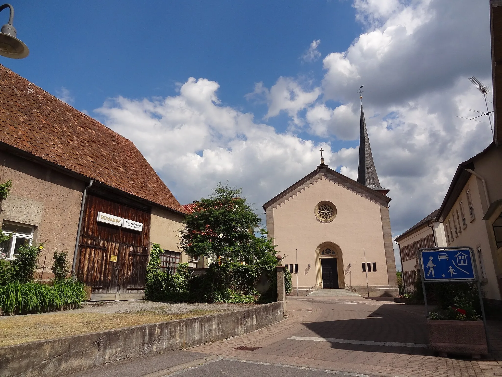
Wartmannsroth, situated in the Unterfranken region of Germany, is a hidden gem for road and gravel cyclists. The locality combines vast open fields, rolling hills, and small picturesque villages, providing a diverse cycling experience. Cyclists can explore the Spessart Mountains and enjoy scenic routes surrounded by nature. The nearby town of Lohr am Main is famous for its cycling events and races, attracting cyclists from different regions. With its tranquil landscapes and cycling events, Wartmannsroth is a great destination for cyclists seeking both serenity and excitement.
Embark on a scenic countryside loop through Unterfranken's beautiful landscapes.
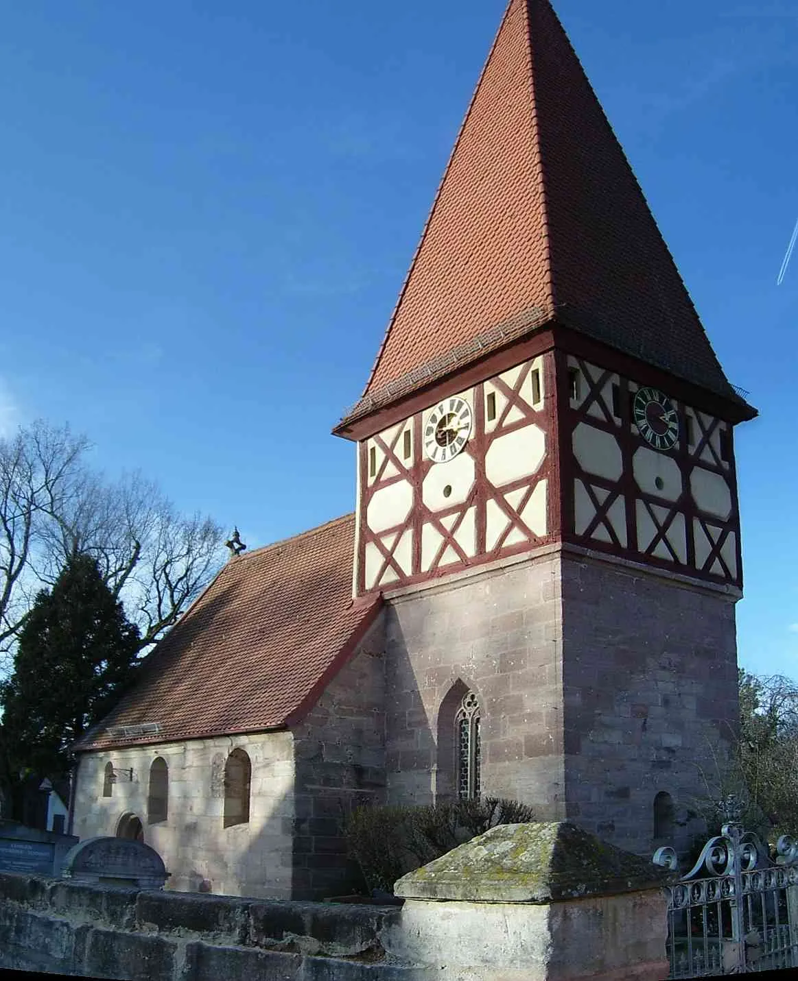
The Scenic Countryside Loop takes cyclists on a scenic journey through the idyllic landscapes of Unterfranken. Covering a distance of 55 kilometers with an ascent of 592 meters, this route offers a moderate challenge for riders. Highlights along the route include Schwärzelbach, Oberthulba, Staffelsberg, Stufenberg, Euerdorf, Fuchsstadt, and Sturmiusberg. This route meanders through the picturesque countryside of Unterfranken, offering breathtaking views of rolling hills, vineyards, and charming villages. Cyclists will also have the opportunity to visit historic landmarks, including ancient castles and churches, adding a cultural touch to their ride. With its blend of natural beauty and historical significance, the Scenic Countryside Loop is an ideal choice for riders looking to immerse themselves in the enchanting landscapes of Unterfranken.
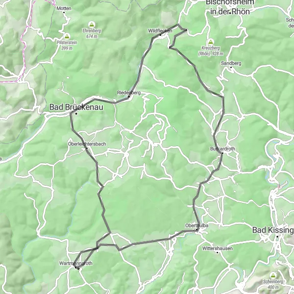
Unterfranken Classic
Roll through the picturesque landscapes of Unterfranken on this classic road cycling route.
The Unterfranken Classic is a scenic road cycling route that takes you through the beautiful landscapes of Unterfranken in Germany. With a total distance of 79 kilometers and an ascent of 1090 meters, it offers a moderate challenge for experienced cyclists. Highlights along the route include Oberleichtersbach, Ehrenberg, Wildflecken, Guckaspaß, Burkardroth, and Oberthulba. This tour offers a diverse range of landscapes, from charming villages to lush forests, making it a visually stunning cycling experience. The route also passes through several historic towns, giving you the opportunity to explore their architectural beauty and cultural heritage. Overall, the Unterfranken Classic is a must-do for cycling enthusiasts looking to immerse themselves in the enchanting beauty of Unterfranken.
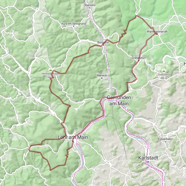
Embark on this epic 102 km gravel route from Koppe to Völkersleier.
Covering a distance of 102 km, this challenging gravel route showcases some of the most picturesque landscapes in Unterfranken. Starting at Koppe, cyclists will pass through Gemünden am Main, known for its magnificent Main river views. Continuing through Buchberg and Lohr am Main, riders can enjoy scenic river stretches. The route then leads to the majestic Klosterkuppel, the traditional village of Rechtenbach, and the stunning panoramas of Hermannskoppe. With a total ascent of 1800m, this route is recommended for experienced cyclists seeking an unforgettable adventure.
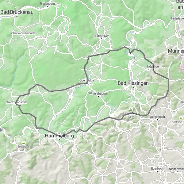
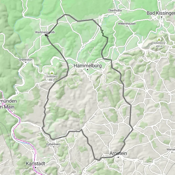
Explore the diverse landscapes of Unterfranken on this road cycling route.
This road cycling route starting near Wartmannsroth takes you through the beautiful landscapes of Unterfranken, offering a mix of challenging climbs and breathtaking views. With an ascent of 943 meters and a distance of 79 kilometers, this route is suitable for well-trained amateur cyclists looking for a challenging adventure. Unterfranken is known for its rolling hills, charming Bavarian villages, and picturesque vineyards. The route passes through several highlight spots, each offering unique attractions and interesting landmarks.
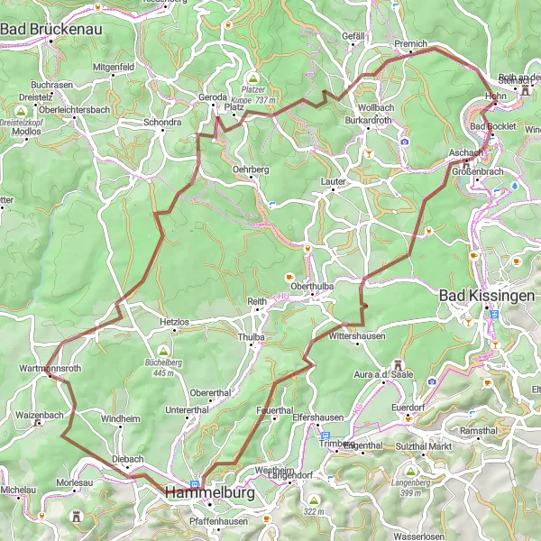
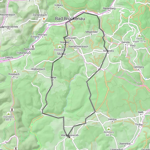
A challenging gravel route exploring Geroda, Bad Bocklet, Feuerthal, and Wiedenberg.
This 77 km gravel route offers a challenging ride through stunning landscapes. Starting in Geroda, the route takes cyclists to Bad Bocklet, known for its health resort facilities and beautiful gardens. Continuing towards Feuerthal, riders can enjoy a scenic stretch near the river. The route then leads to the picturesque village of Wiedenberg, renowned for its well-preserved traditional architecture. With a total ascent of 1319m, this route is suitable for experienced cyclists.
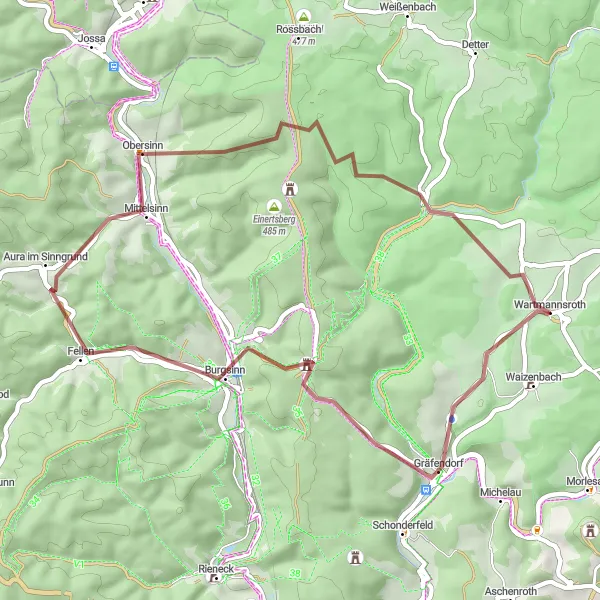
A gravel route showcasing the picturesque villages of Gräfendorf, Burgsinn, Sinneberg, and Völkersleier.
This 46 km gravel route takes cyclists through the charming villages of Gräfendorf, Burgsinn, Sinneberg, and Völkersleier. With an ascent of 1028m, this route offers a good challenge for intermediate cyclists. The route provides scenic views of the Unterfranken countryside, with highlights including Gräfendorf and its historic buildings, Burgsinn with its medieval fortress, Sinneberg offering panoramic landscapes, and Völkersleier village surrounded by lush forests.
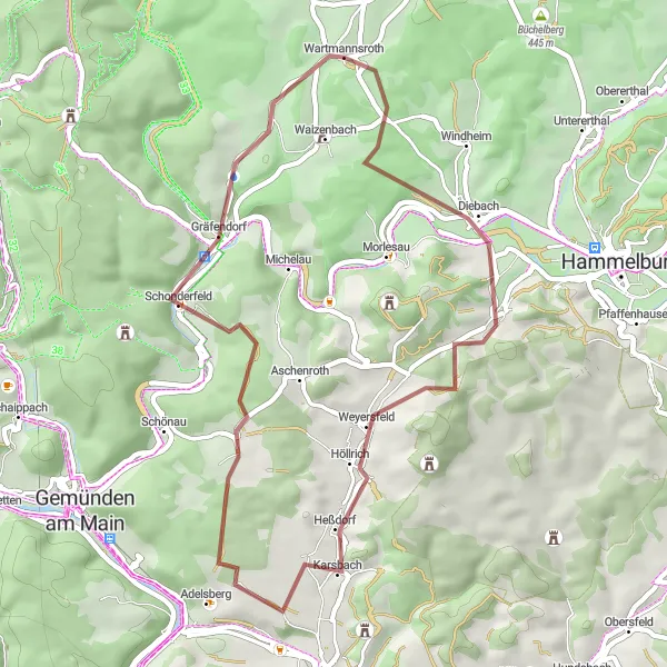
A gravel route passing through Obereschenbach, Geißberg, Karsbach, Gumenberg, and Gräfendorf.
Covering a distance of 44 km, this gravel route takes cyclists through beautiful and diverse landscapes, passing by Obereschenbach, Geißberg, Karsbach, Gumenberg, and Gräfendorf. With an ascent of 640m, this route offers a moderate challenge. Highlights along the route include the scenic views from Obereschenbach, the charming village of Karsbach, and the lush forests surrounding Gräfendorf.
Explore the charming villages of Unterfranken on this immersive road cycling route.
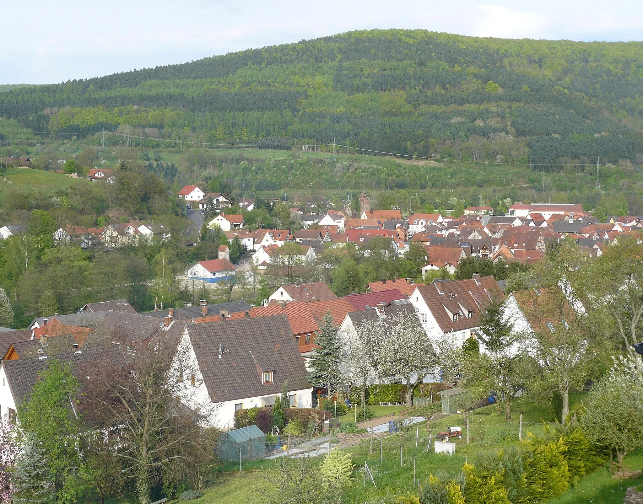
The Charming Villages of Unterfranken route takes cyclists on a journey through the picturesque villages of Unterfranken. Covering a distance of 47 kilometers with an ascent of 774 meters, this route is suitable for riders looking for a moderate challenge. Highlights along the way include Völkersleier, Hagküppel, Lindenstumpf, Schondra, and Schwärzelbach. This route allows cyclists to immerse themselves in the serene atmosphere of Unterfranken's charming villages. The route takes riders through scenic countryside, passing by traditional half-timbered houses and quaint village squares. Along the way, cyclists will have the opportunity to explore historic churches and admire the beautiful natural surroundings. Overall, the Charming Villages of Unterfranken route offers a delightful cycling experience that combines cultural discovery with natural beauty.
Embark on a journey to explore the heart of Unterfranken on this immersive road cycling route.
The Exploring the Heart of Unterfranken route takes cyclists through the heart of Unterfranken, offering them a chance to discover the region's hidden gems. With a total distance of 83 kilometers and an ascent of 1091 meters, this route presents a moderate challenge for experienced riders. Highlights along the way include Hetzlos, Feuerthal, Unterberg, Arnstein, Gössenheim, Hohhafter Berg, Blick auf Obereschenbach, and Obereschenbach. This tour showcases the diverse landscapes of Unterfranken, from rolling hills to picturesque villages. Cyclists will pass through scenic countryside and enchanting forests, providing them with a truly immersive experience. Additionally, the route includes several cultural and historical attractions, allowing riders to delve into the region's rich heritage. Overall, the Exploring the Heart of Unterfranken route is a great option for cyclists seeking a balance between natural beauty and cultural exploration.
Embark on an epic grand tour of Unterfranken's scenic landscapes and charming towns.
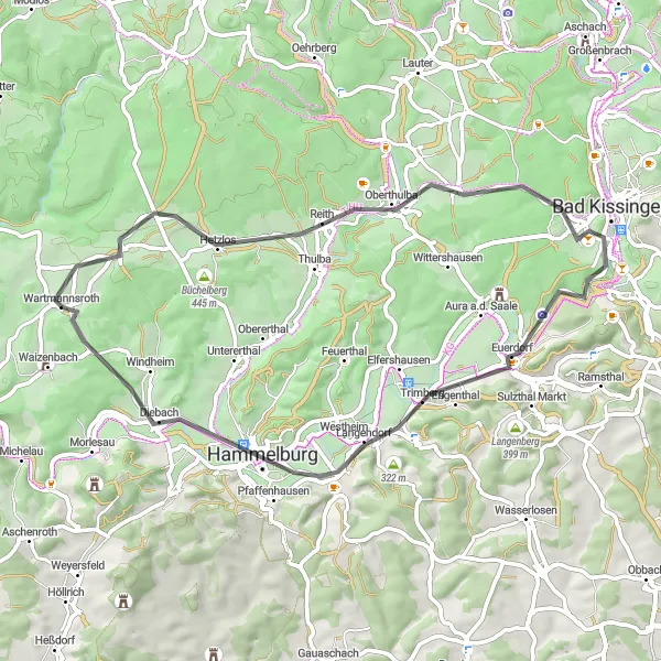
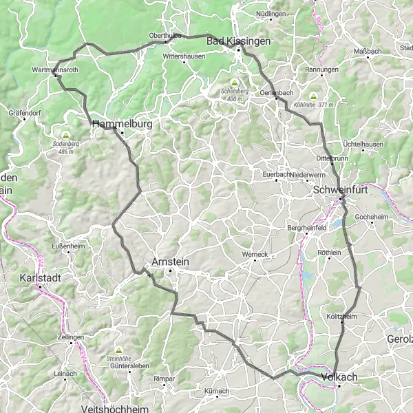
The Unterfranken Grand Tour offers cyclists a thrilling journey through the diverse landscapes and captivating towns of Unterfranken. Covering a distance of 136 kilometers with an ascent of 1457 meters, this route is suitable for experienced riders looking for a challenging adventure. Highlights along the route include Oberthulba, Balustrade, Bad Kissingen, Ebersberg, Schweinfurt, Kolitzheim, Reuchelheim, and Hammelburg. This epic route showcases the best of Unterfranken, taking cyclists through picturesque villages, majestic forests, and renowned historic towns. While tackling challenging climbs, riders will be rewarded with breathtaking views of rolling hills and vineyards. The route also passes by several cultural and historical attractions, offering opportunities for sightseeing and exploration. Overall, the Unterfranken Grand Tour is a remarkable cycling experience that combines stunning landscapes, rich heritage, and exhilarating riding.
Cycling routes nearby:

Nearby regions: