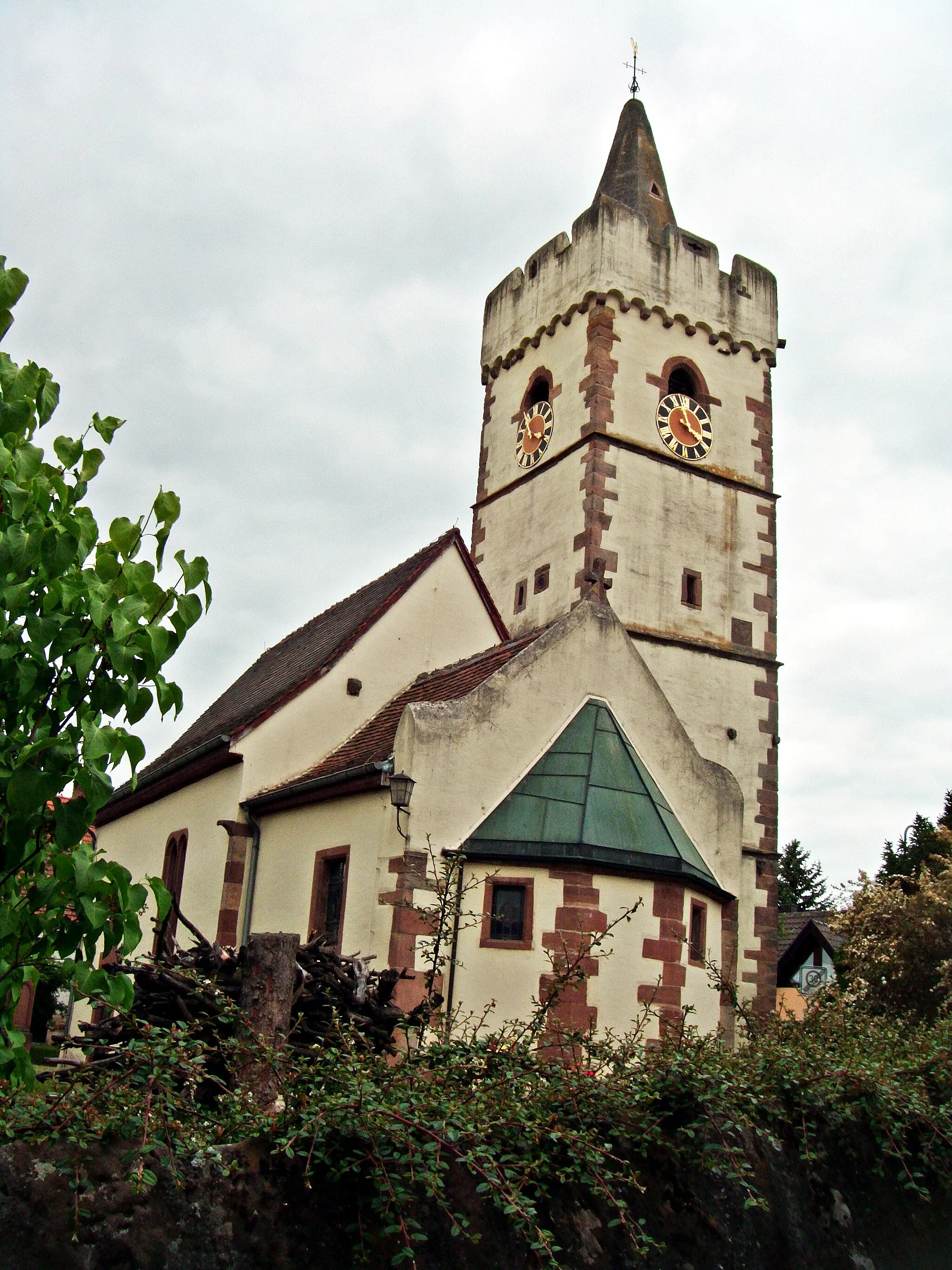
Embark on a serene cycling journey through Zeitlofs, Unterfranken, Germany.
Cycling routes from Zeitlofs
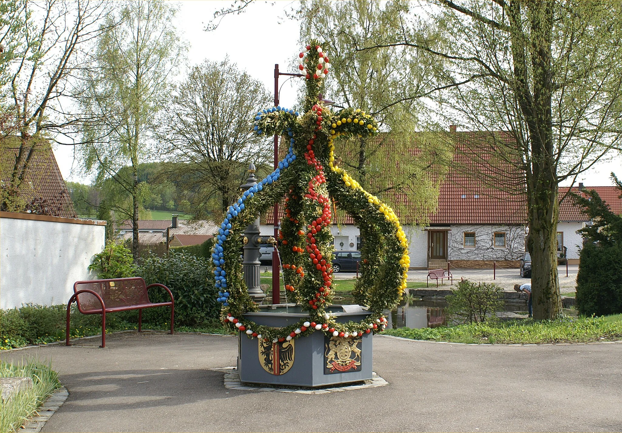
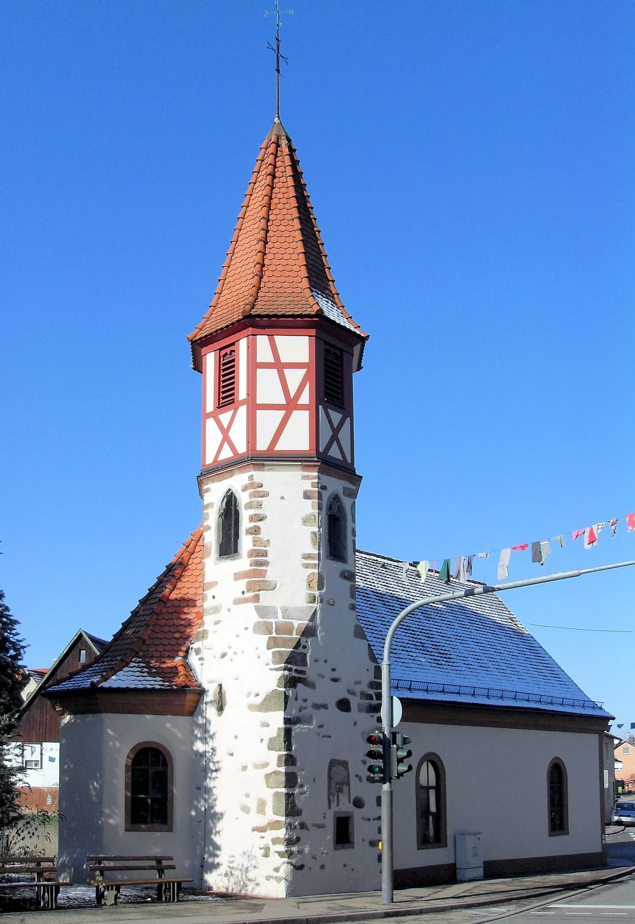
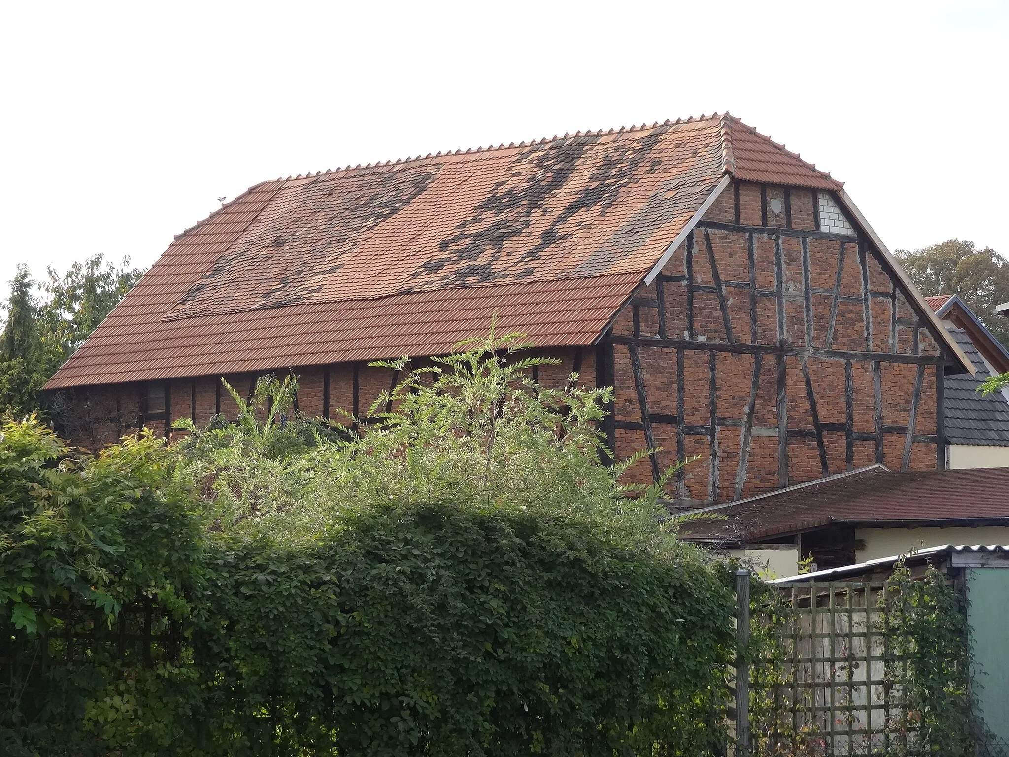
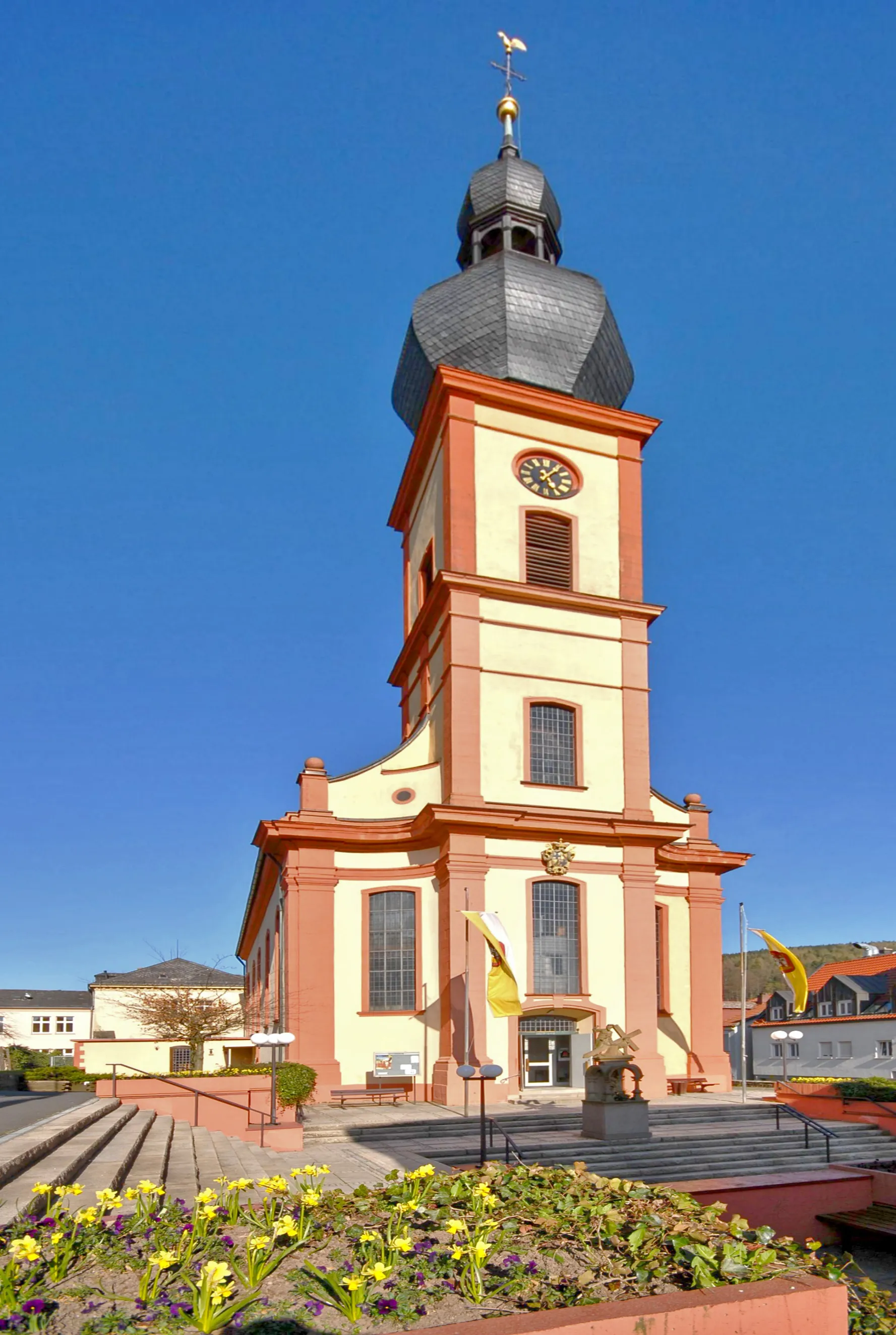
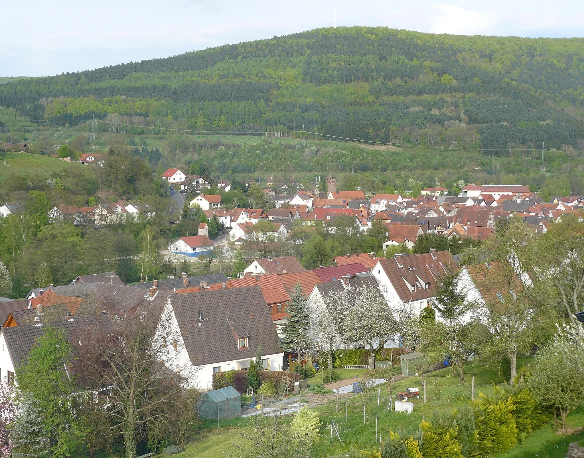
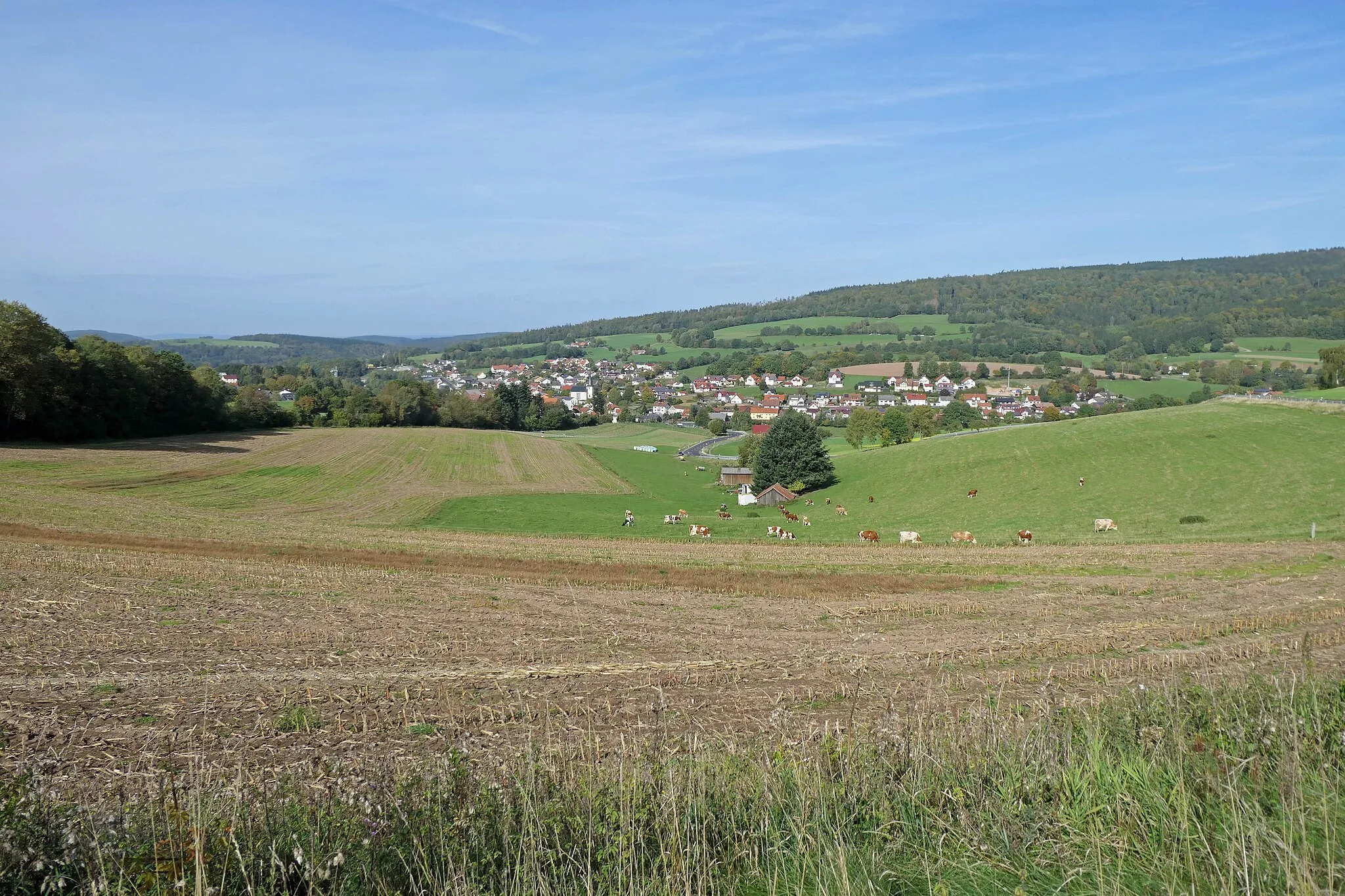
Zeitlofs, located in Unterfranken, Germany, is a hidden gem for road and gravel cyclists. The locality offers an array of scenic routes surrounded by picturesque landscapes and serene countryside. As you pedal through the area, you will encounter rolling hills and quiet roads, providing a peaceful and enjoyable cycling experience. For those seeking well-known climbs, nearby you can find the popular ascent of Singberg, which presents a challenge along with breathtaking views. With its peaceful atmosphere, scenic routes, and access to notable climbs, Zeitlofs is a fantastic destination for cyclists seeking tranquility and adventure.
Exploring the scenic countryside near Zeitlofs
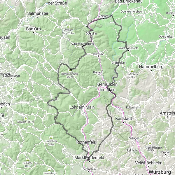
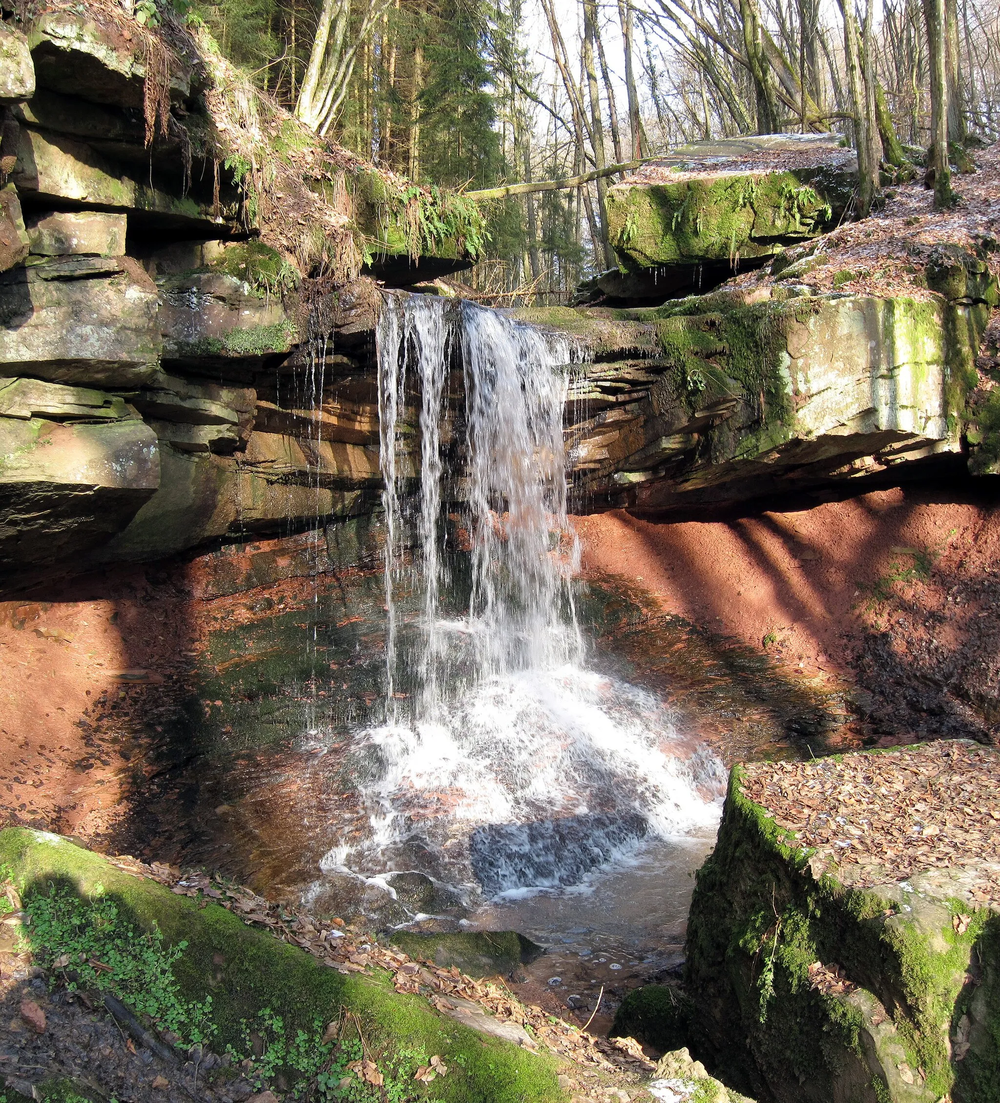
Embark on a picturesque cycling journey through the stunning scenery near Zeitlofs. This route will take you through quaint villages, lush forests, and rolling hills, offering breathtaking views at every turn. With an ascent of 2,142 meters and a distance of 160 kilometers, this challenging route is perfect for well-trained amateur cyclists who crave adventure. Whether you're a road cyclist or enjoy riding on gravel, this route has something for everyone. Explore highlights along the way, including the historic town of Gemünden am Main, the charming village of Aura im Sinngrund, and the majestic Frammersbach.
Mountain Challenge
Embark on a thrilling gravel cycling adventure through the challenging terrain of Unterfranken.
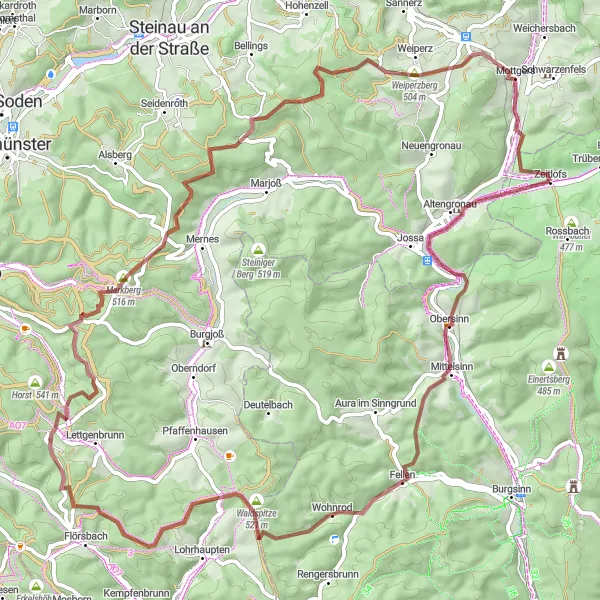
The Mountain Challenge is a gravel route that takes you through the rugged terrain of Unterfranken, promising a thrilling cycling experience. With a distance of 79 km and an ascent of 1409 meters, this route is not for the faint of heart. Highlights along the way include Obersinn, Sinneberg, Flörsbacher Höhe, Villbach, Totenkopf, Tonkautenkopf, Sterbfritz, and Zeitlofs. With a difficulty rating of 5 and an epicness score of 5, this route is perfect for experienced cyclists seeking a legendary adventure.
Sinnberg Loop
Explore the scenic landscapes of Unterfranken on this gravel route.
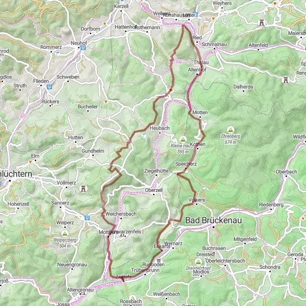
The Sinnberg Loop offers a scenic journey through Unterfranken, with gravel roads that take you through charming villages and beautiful landscapes. The route begins near Zeitlofs and covers a distance of 67 km, with an ascent of 1341 meters. As you cycle along, you'll pass highlights such as the Senseberg, Kälberberg, Uttrichshausen, Küppel, and the town of Motten. With a difficulty rating of 3 and an epicness score of 3, this route is suitable for well-trained amateurs looking for a challenging ride.
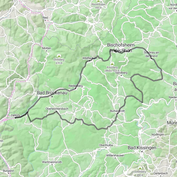
Let the rolling hills of Rhön take you on an epic road cycling journey
Embark on an unforgettable cycling experience through the beautiful Rhön region. This route will test your endurance with its challenging ascents and reward you with stunning views of the countryside. Explore charming towns and villages along the way, each with its own unique charm and cultural heritage. From historic castles to idyllic lakes, the highlights of this route will leave you in awe. The Rhön Hills Adventure is a perfect choice for cyclists seeking a challenge and a true sense of adventure.
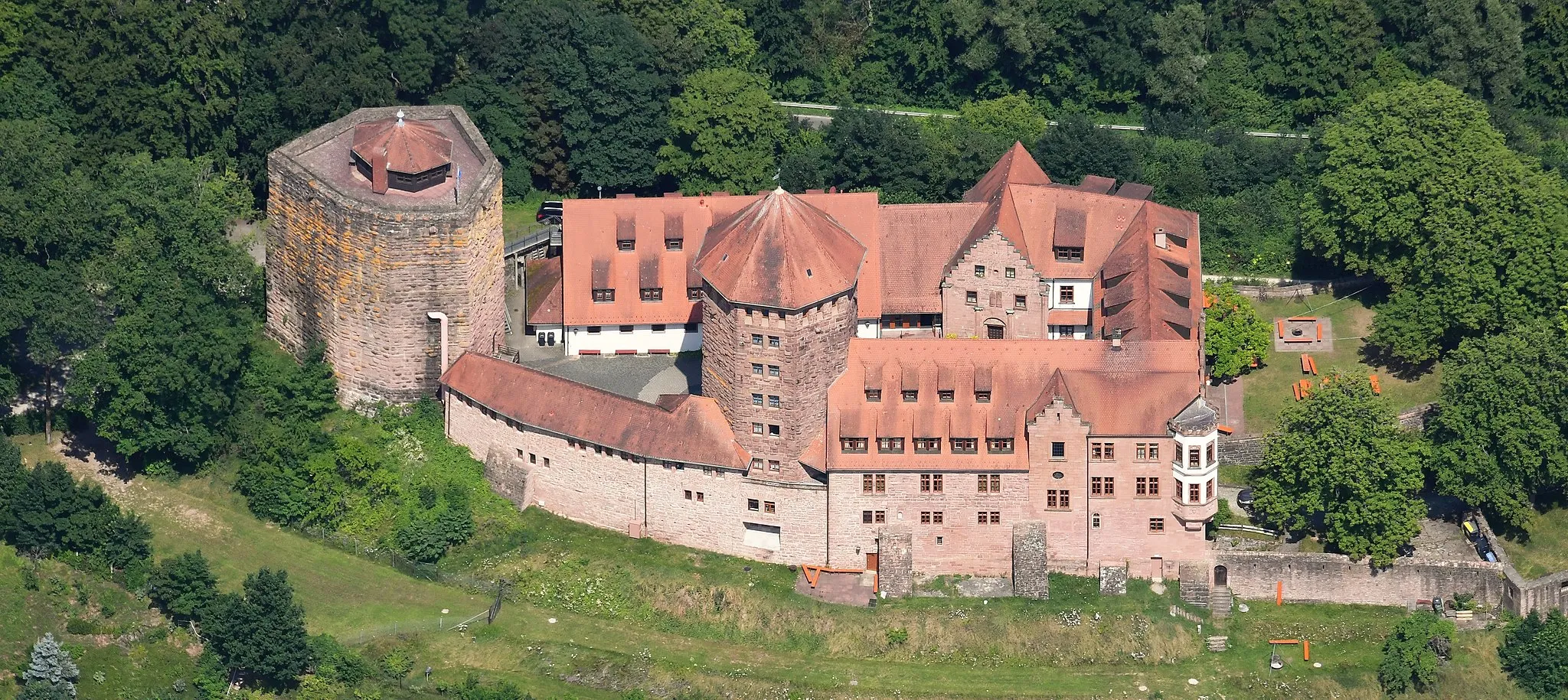
Riverside and Castle Delights
Pedal through picturesque landscapes and explore historic castles on this road cycling route
Immerse yourself in the beauty and history of the region with the Riverside and Castle Delights route. Marvel at the enchanting riverside views as you cycle along scenic paths, dotted with medieval castles and charming villages. Indulge in the local cuisine and take time to discover the fascinating stories behind each castle. This route offers the perfect blend of culture, natural beauty, and gastronomy for cyclists looking to enrich their journey.
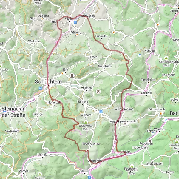
Conquer the challenging climbs and enjoy the rugged beauty of the Granite Hills.
The Granite Hills Challenge is a gravel route that takes you through the stunning Granite Hills of Unterfranken. With a distance of 64 km and an ascent of 1093 meters, this route promises a thrilling cycling experience. Highlights along the way include Altengronau, Eulerskopf, Kelterberg, Schlüchtern, Galgenberg, Flieden, Großer Nickus, and Kirchberg. With a difficulty rating of 4 and an epicness score of 4, this route is perfect for experienced cyclists looking for a challenging adventure.
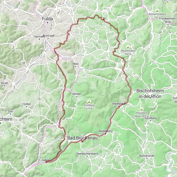
Embark on a thrilling gravel adventure through the rugged terrain of Rhön
Indulge your sense of adventure with a challenging gravel ride through the diverse landscapes of Rhön. Ascend steep hills and conquer rough trails as you soak in the breathtaking views of rolling hills and lush green meadows. Along the way, discover hidden gems such as ancient ruins, picturesque villages, and serene lakes. The Gravel Adventure through Rhön is an exhilarating journey that will test your skill and leave you longing for more.
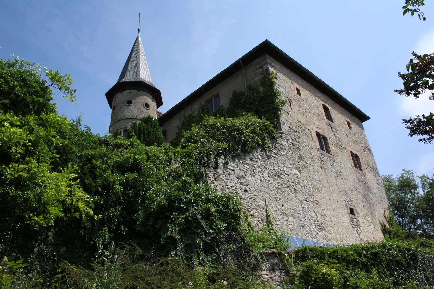
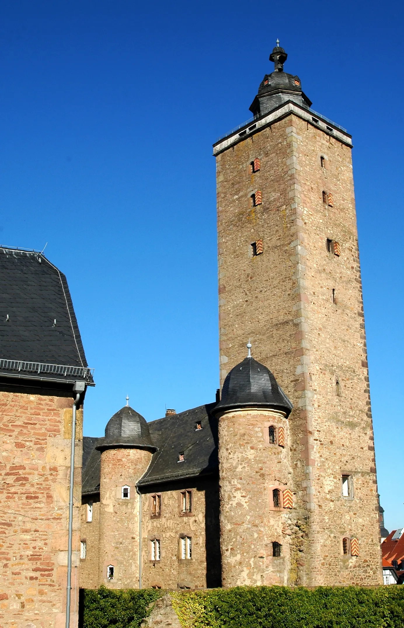
Schwarzenfels Sprint
Embark on a thrilling road cycling adventure to the stunning Burg Schwarzenfels.
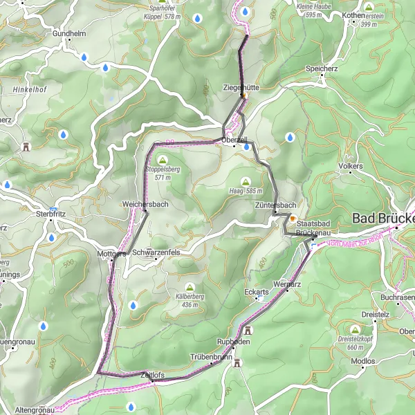
The Schwarzenfels Sprint is a road cycling route that takes you on a thrilling ride to the majestic Burg Schwarzenfels. Starting near Zeitlofs, the route covers a distance of 35 km, with an ascent of 586 meters. Along the way, you'll pass highlights such as Stoppelsberg, Steiger, Züntersbach, and Wernarz. With a difficulty rating of 2 and an epicness score of 3, this route is suitable for well-trained amateurs looking for a shorter but exciting ride.
Zeitlofs Hills and Winding Roads
Discover the beautiful Zeitlofs region on this challenging road cycling route
Embark on a 100 km journey through the scenic Zeitlofs region, where you'll be greeted by picturesque landscapes, charming villages, and challenging climbs. This route offers a mix of rolling hills, winding roads, and breathtaking views, making it a perfect choice for experienced cyclists seeking a thrilling adventure. Get ready to conquer a total ascent of 960 meters and immerse yourself in the natural beauty of Unterfranken.
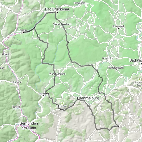
Main Valley Scenic Tour
Discover the scenic beauty of the Main Valley on this road cycling tour.
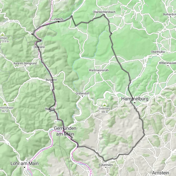
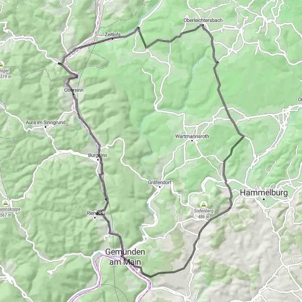
The Main Valley Scenic Tour takes you on a stunning road cycling journey through the picturesque Main Valley. With a distance of 84 km and an ascent of 976 meters, this route offers a combination of challenging climbs and breathtaking views. Highlights along the way include Hagküppel, Oberleichtersbach, Büchelberg, Windheim, Gemünden am Main, Einmalberg, Burgsinn, Obersinn, and Grauberg. With a difficulty rating of 3 and an epicness score of 3, this route is suitable for well-trained amateurs seeking a peaceful and scenic ride.
Cycling routes nearby:
Nearby regions: