Mountain Challenge
A gravel cycling route starting from Zeitlofs
Embark on a thrilling gravel cycling adventure through the challenging terrain of Unterfranken.
Map
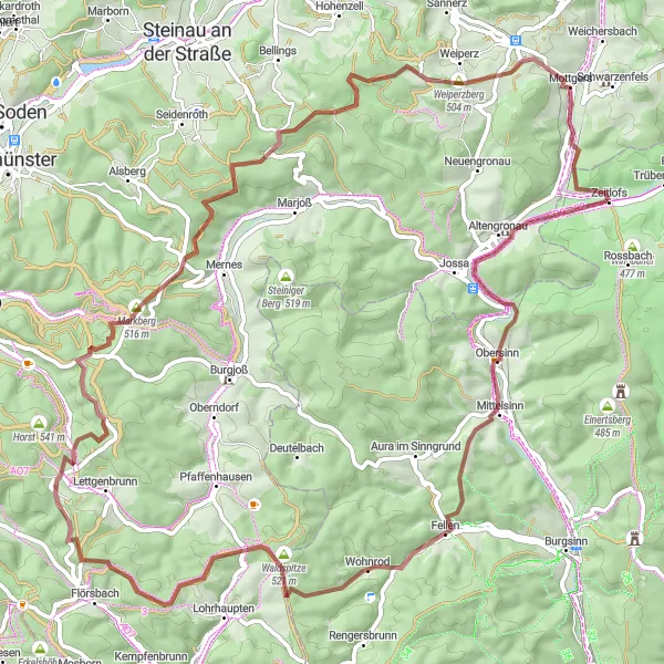
The Mountain Challenge is a gravel route that takes you through the rugged terrain of Unterfranken, promising a thrilling cycling experience. With a distance of 79 km and an ascent of 1409 meters, this route is not for the faint of heart. Highlights along the way include Obersinn, Sinneberg, Flörsbacher Höhe, Villbach, Totenkopf, Tonkautenkopf, Sterbfritz, and Zeitlofs. With a difficulty rating of 5 and an epicness score of 5, this route is perfect for experienced cyclists seeking a legendary adventure.
gravel
79 km
1409 m
Savage
Route profile
Highlights on the route
0 km
0 km
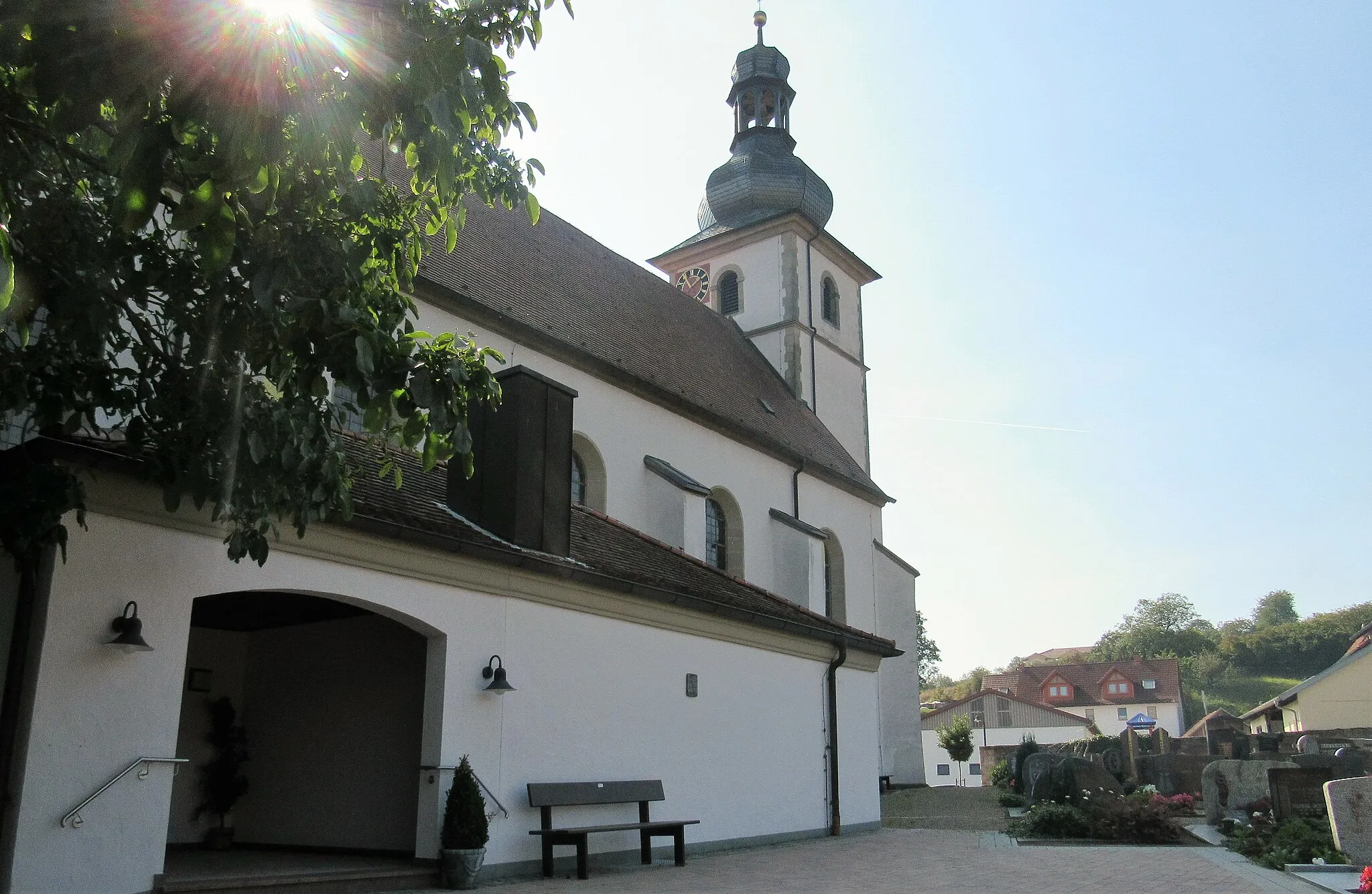
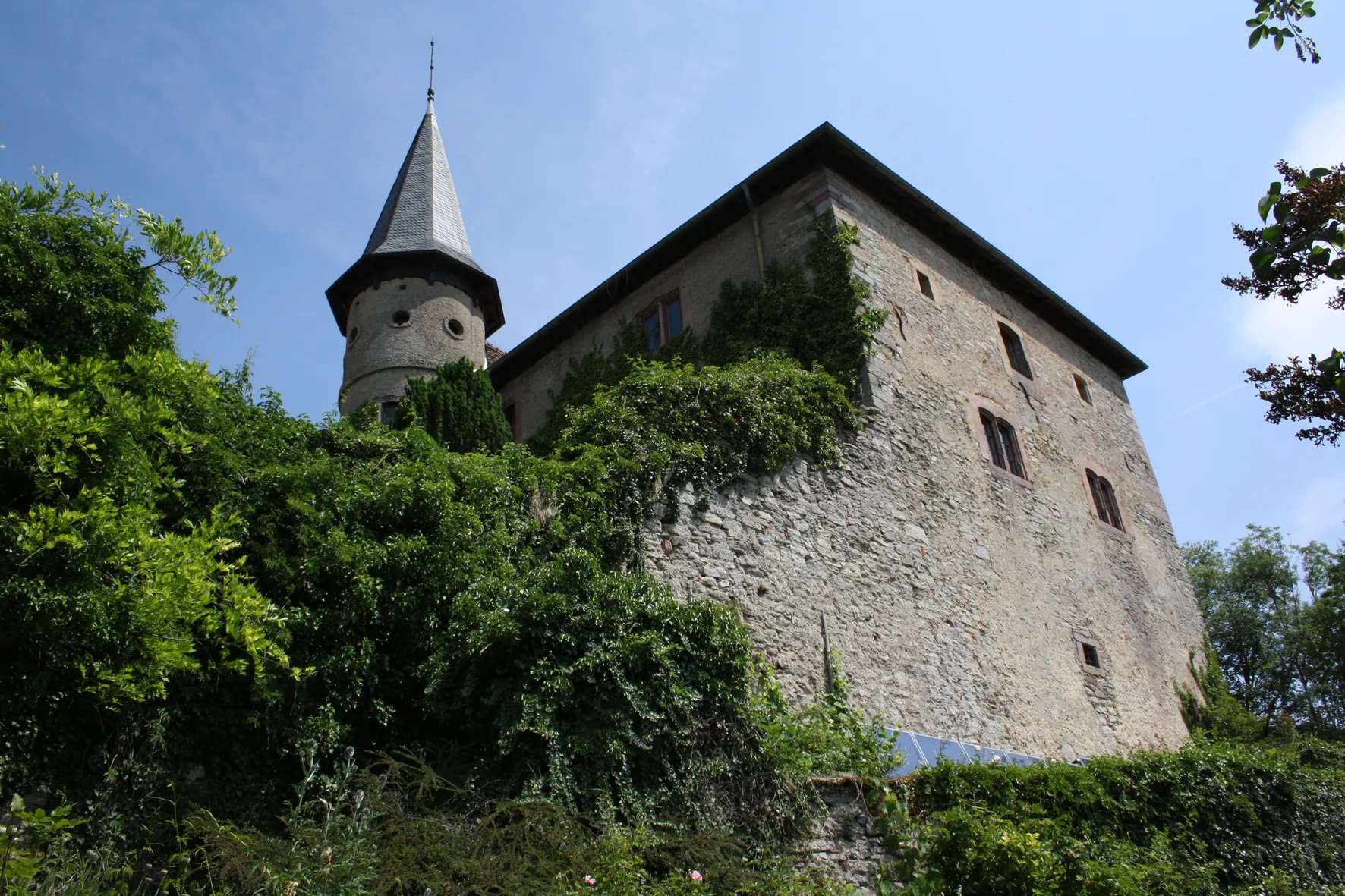
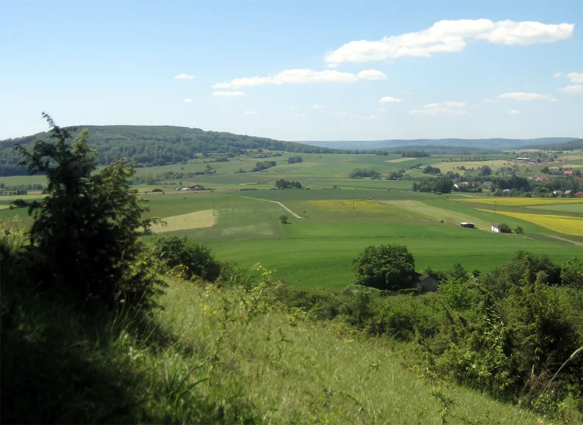
Start: Zeitlofs Village centerZeitlofs: Embark on a serene cycling journey through Zeitlofs, Unterfranken, Germany.
Zeitlofs, located in Unterfranken, Germany, is a hidden gem for road and gravel cyclists. The locality offers an array of scenic routes surrounded by picturesque landscapes and serene countryside. As you pedal through the area, you will encounter rolling hills and quiet roads, providing a peaceful and enjoyable cycling experience. For those seeking well-known climbs, nearby you can find the popular ascent of Singberg, which presents a challenge along with breathtaking views. With its peaceful atmosphere, scenic routes, and access to notable climbs, Zeitlofs is a fantastic destination for cyclists seeking tranquility and adventure.10 km
10 km
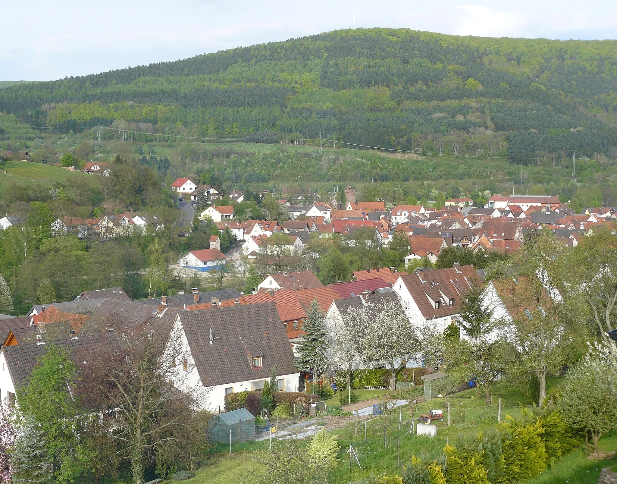
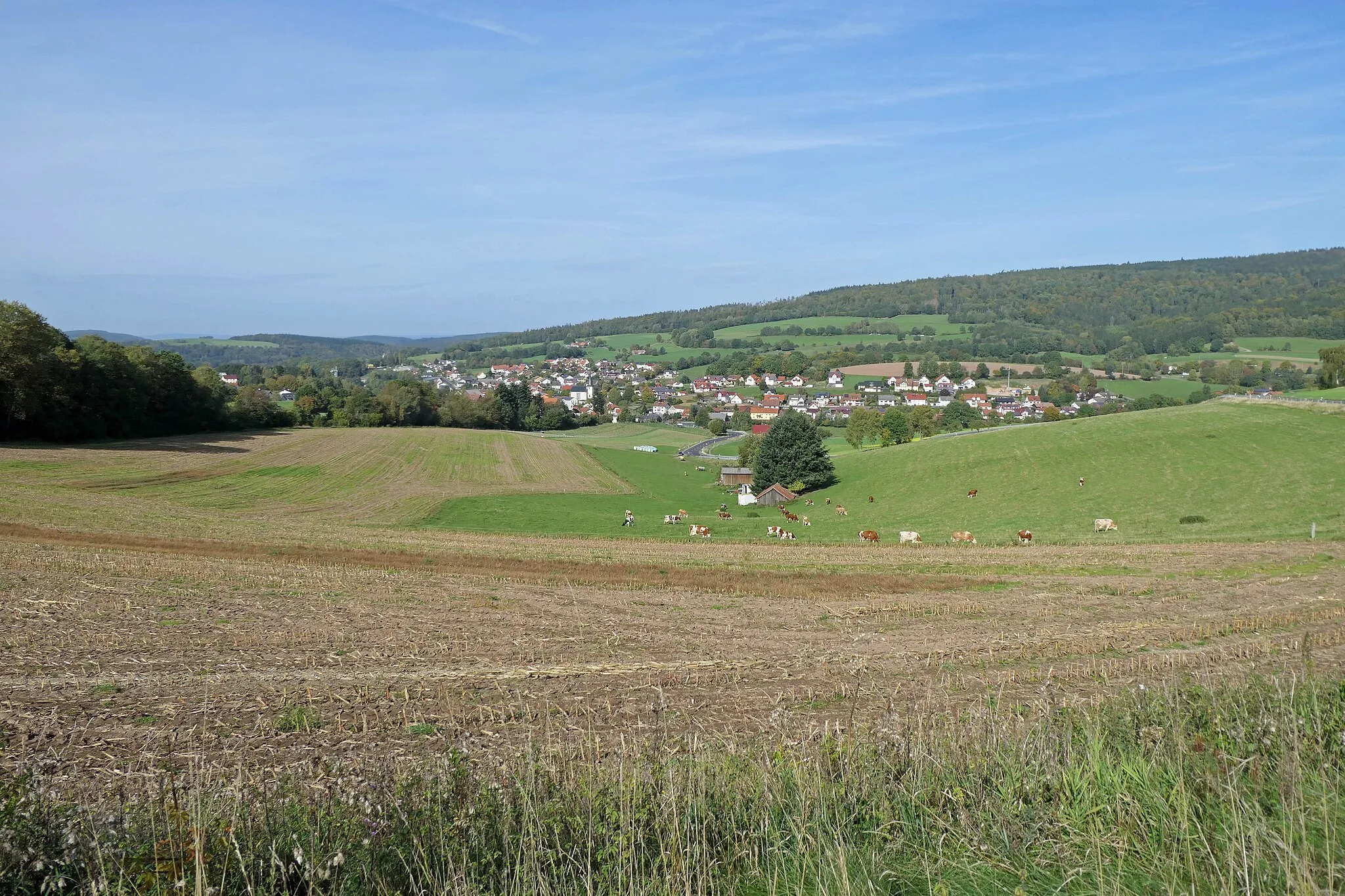
ObersinnVillageObersinn is a beautiful village nestled in the rolling hills with picturesque landscapes.
16 km
16 km
Sinneberg368 mPeakSinneberg is a small hill with panoramic views of the surrounding countryside.
32 km
32 km
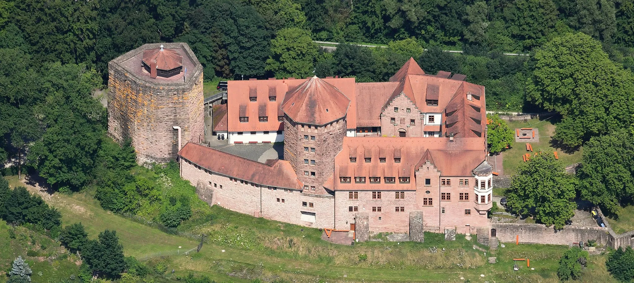
Flörsbacher Höhe531 mPeakFlörsbacher Höhe is the highest peak in the area and offers breathtaking views from the top.
39 km
39 km
VillbachHamletVillbach is a peaceful hamlet with charming landscapes and traditional architecture.
54 km
54 km
Totenkopf497 mPeakTotenkopf is a challenging climb that rewards cyclists with stunning views at the summit.
61 km
61 km
Tonkautenkopf454 mPeakTonkautenkopf is a steep mountain known for its challenging ascent and scenic vistas.
71 km
71 km
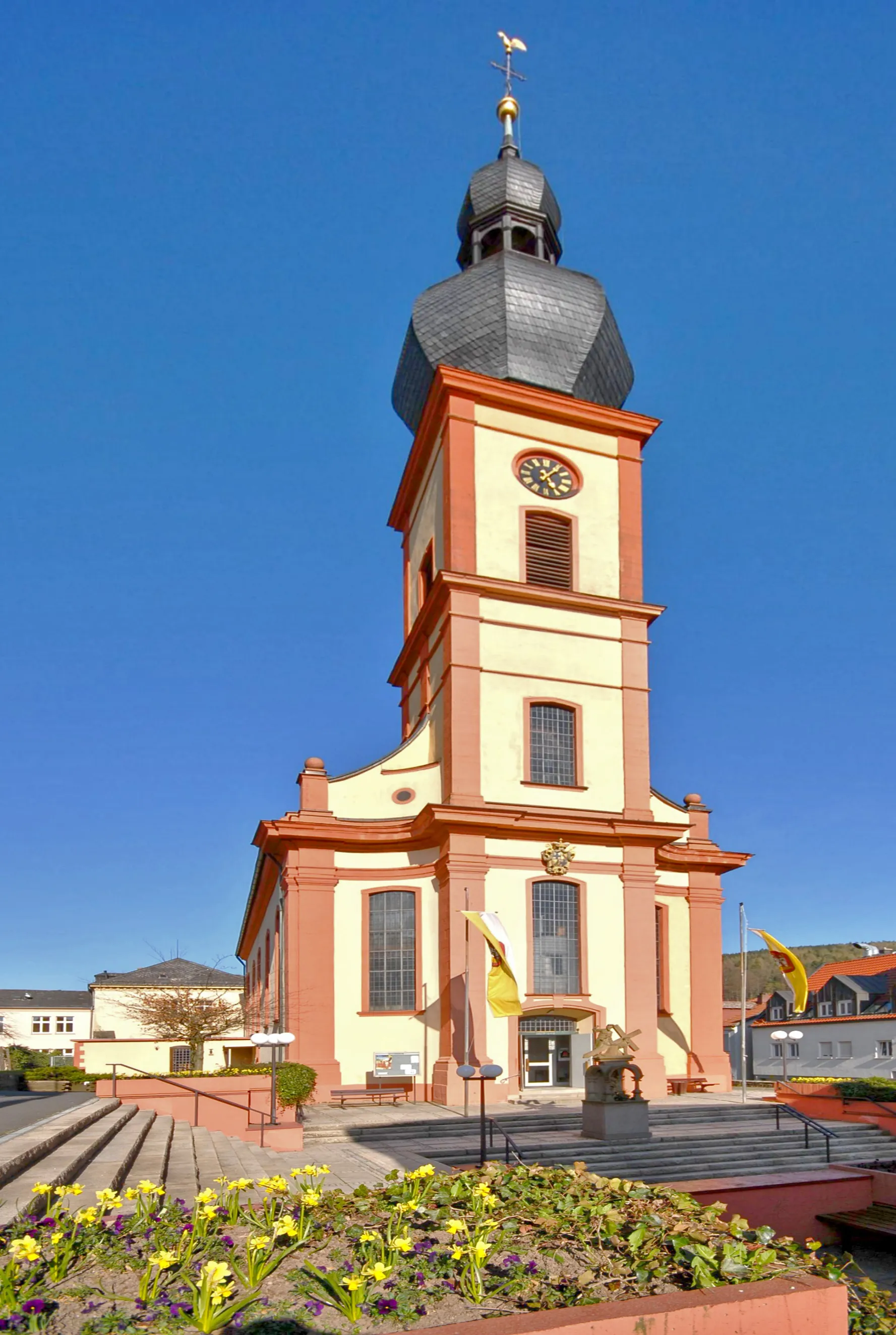
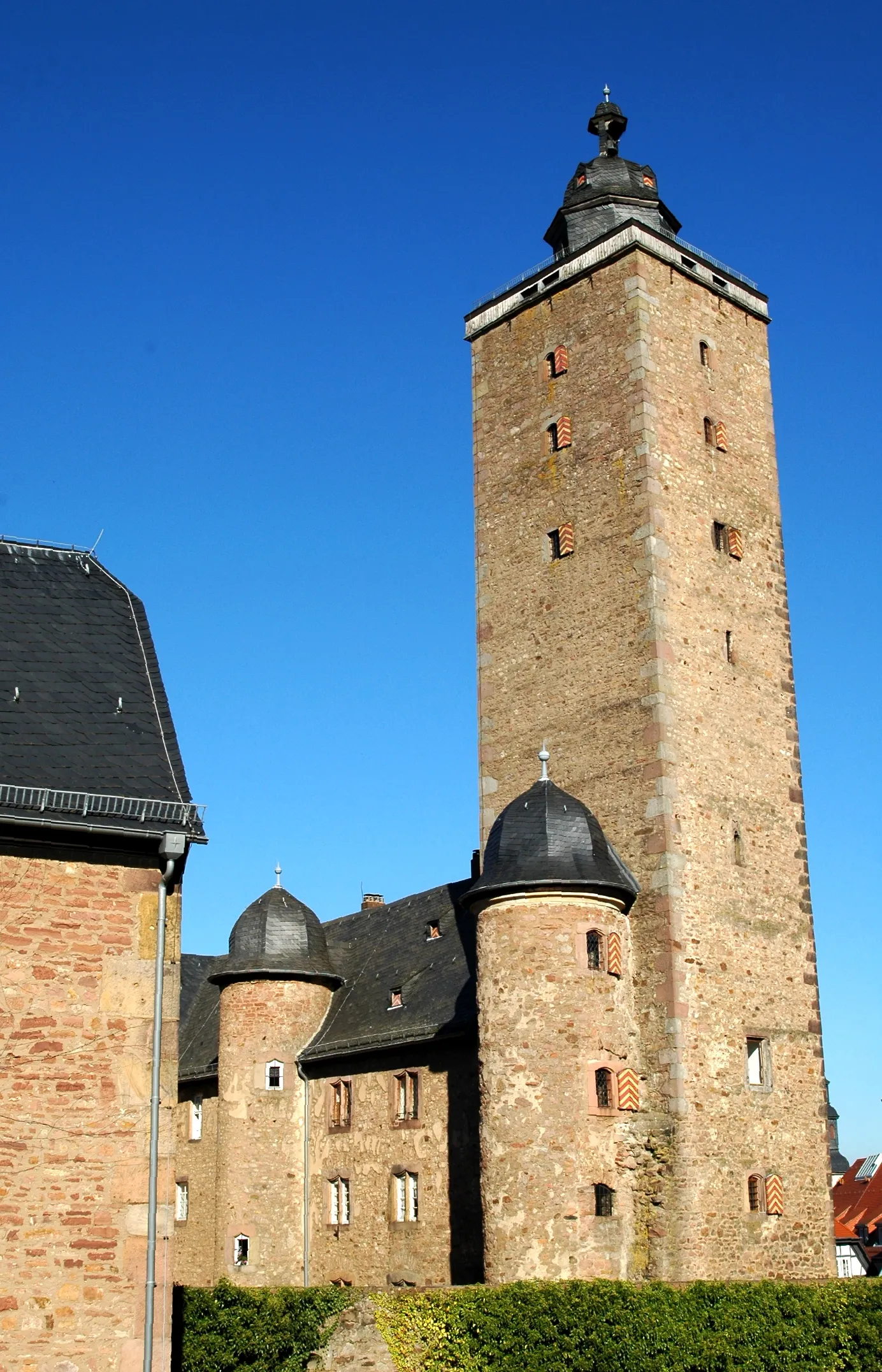
SterbfritzVillageSterbfritz is a charming village with half-timbered houses and picturesque surroundings.
79 km
79 km
ZeitlofsVillageZeitlofs is a quaint village with charming timber-framed houses and scenic landscapes.
79 km
79 km
Finish: Zeitlofs Village centerZeitlofs: Embark on a serene cycling journey through Zeitlofs, Unterfranken, Germany.
Cycling routes nearby: