Granite Hills Challenge
A gravel cycling route starting from Zeitlofs
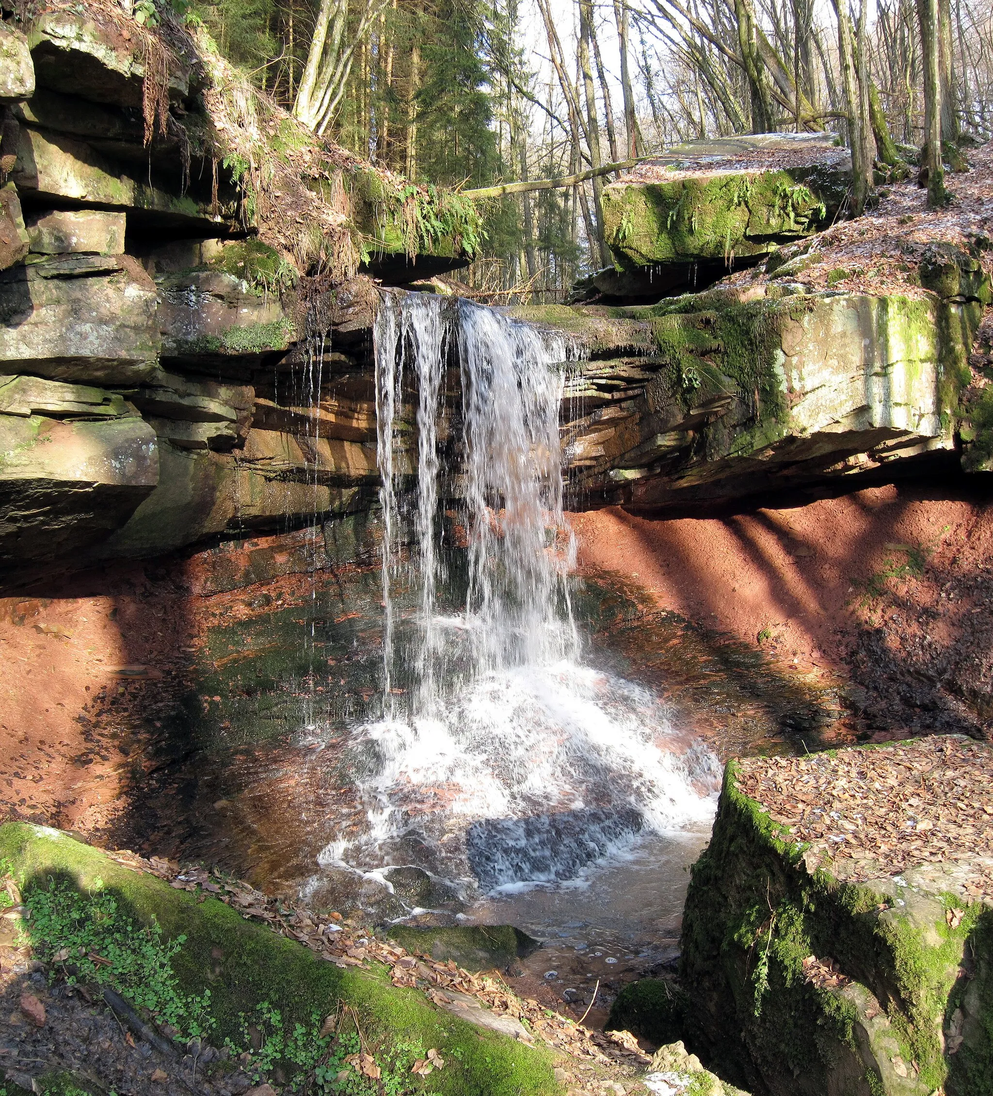
Conquer the challenging climbs and enjoy the rugged beauty of the Granite Hills.
Map
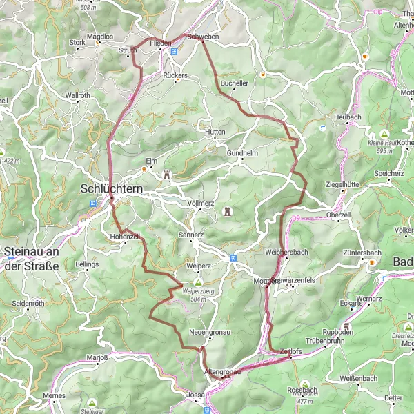
The Granite Hills Challenge is a gravel route that takes you through the stunning Granite Hills of Unterfranken. With a distance of 64 km and an ascent of 1093 meters, this route promises a thrilling cycling experience. Highlights along the way include Altengronau, Eulerskopf, Kelterberg, Schlüchtern, Galgenberg, Flieden, Großer Nickus, and Kirchberg. With a difficulty rating of 4 and an epicness score of 4, this route is perfect for experienced cyclists looking for a challenging adventure.
gravel
64 km
1093 m
Tough
Route profile
Highlights on the route
0 km
0 km
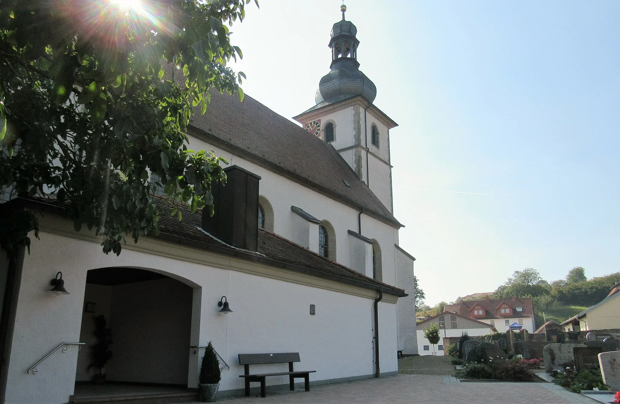
Start: Zeitlofs Village centerZeitlofs: Embark on a serene cycling journey through Zeitlofs, Unterfranken, Germany.
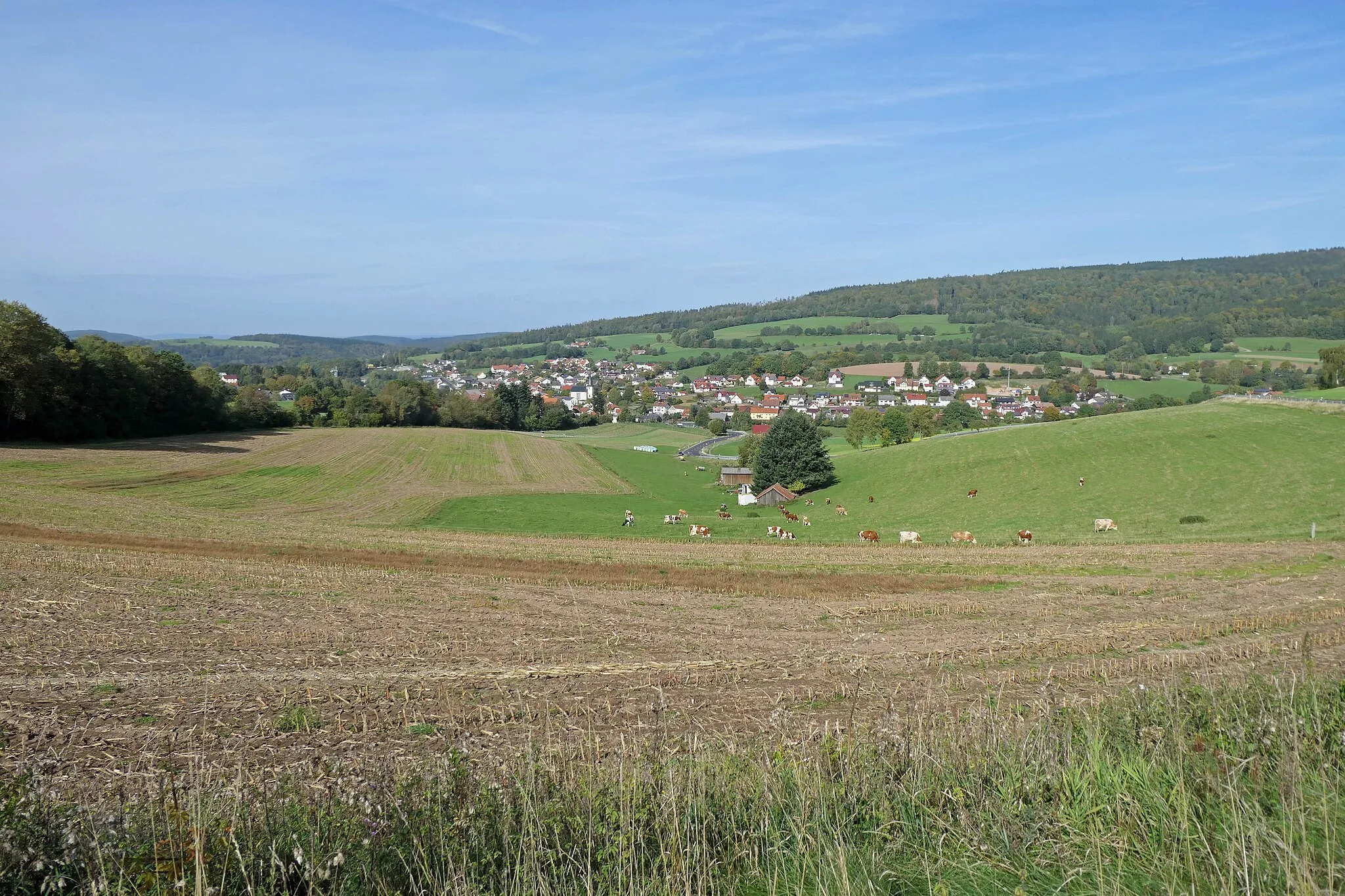
Zeitlofs, located in Unterfranken, Germany, is a hidden gem for road and gravel cyclists. The locality offers an array of scenic routes surrounded by picturesque landscapes and serene countryside. As you pedal through the area, you will encounter rolling hills and quiet roads, providing a peaceful and enjoyable cycling experience. For those seeking well-known climbs, nearby you can find the popular ascent of Singberg, which presents a challenge along with breathtaking views. With its peaceful atmosphere, scenic routes, and access to notable climbs, Zeitlofs is a fantastic destination for cyclists seeking tranquility and adventure.4 km
4 km
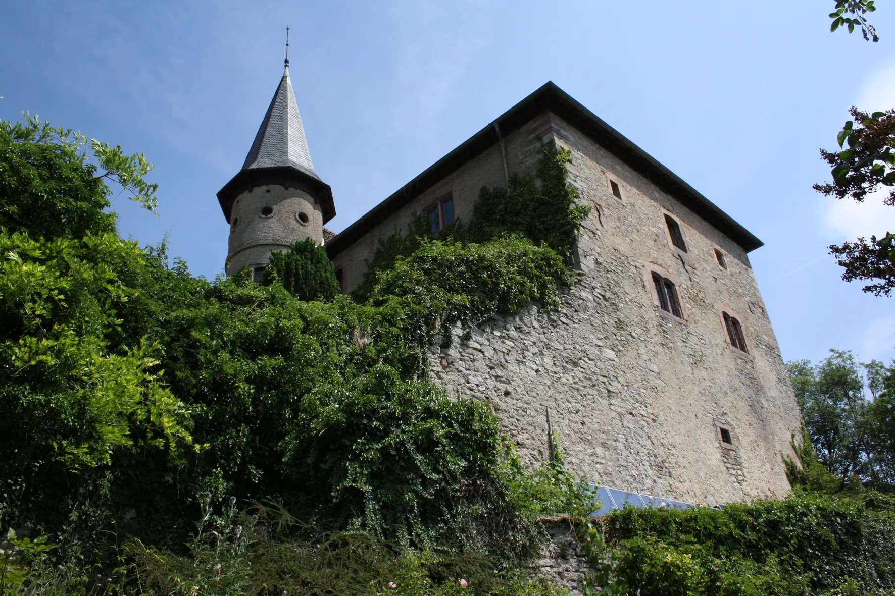
AltengronauVillageAltengronau is a charming village with traditional Franconian houses.
11 km
11 km
Eulerskopf428 mPeakEulerskopf is the highest peak in the Granite Hills and offers stunning panoramic views.
19 km
19 km
Kelterberg430 mPeakKelterberg is a picturesque hill with vineyards surrounding it.
24 km
24 km
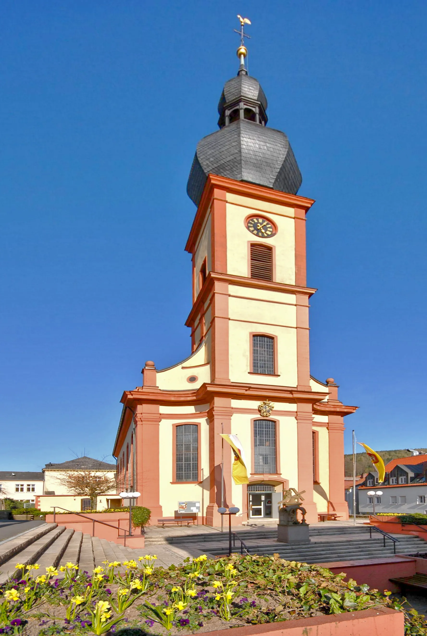
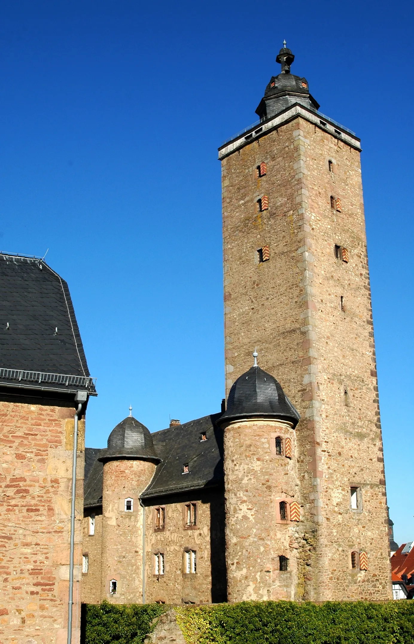
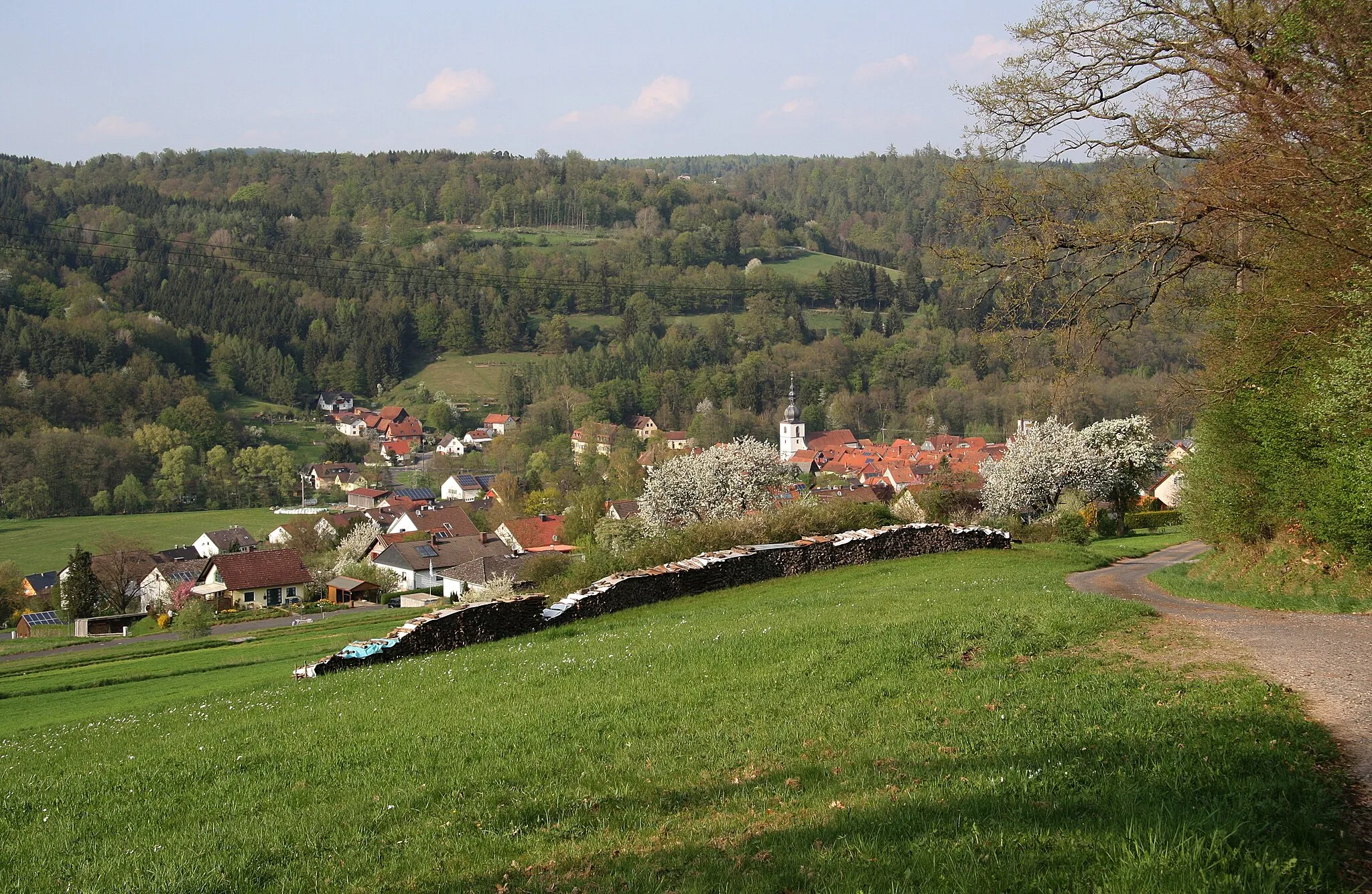
SchlüchternTownSchlüchtern is a historic town with beautiful architecture and a vibrant atmosphere.
35 km
35 km
Galgenberg361 mPeakGalgenberg is a hill known for its rich history and scenic landscapes.
35 km
35 km
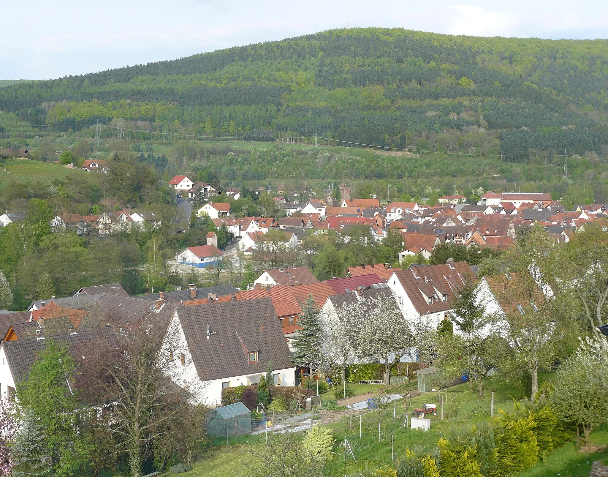
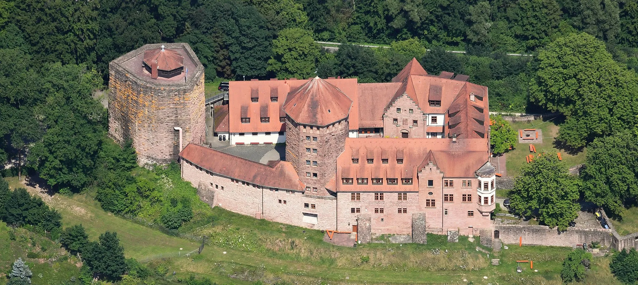
FliedenVillageFlieden is a charming village with traditional buildings and a tranquil atmosphere.
51 km
51 km
Großer Nickus558 mPeakGroßer Nickus offers stunning views of the Granite Hills and the rolling countryside.
64 km
64 km
ZeitlofsVillageZeitlofs is known for its charming timber-framed houses and beautiful countryside.
64 km
64 km
Finish: Zeitlofs Village centerZeitlofs: Embark on a serene cycling journey through Zeitlofs, Unterfranken, Germany.
Cycling routes nearby: